GMC Gellibrand River Estuary Mouth Observation Site
23 February 2017
Observation details
Overview
| Estuary | Gellibrand River Estuary |
|---|---|
| Site | Gellibrand River Estuary Mouth Observation Site |
| Observation ID | #10840 |
| Date and Time | Thursday 23rd February 2017 09:17am |
| Approved | Approved |
Notes
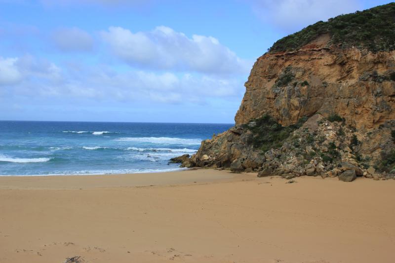
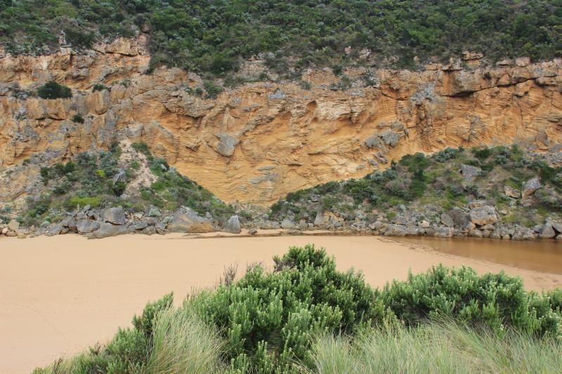
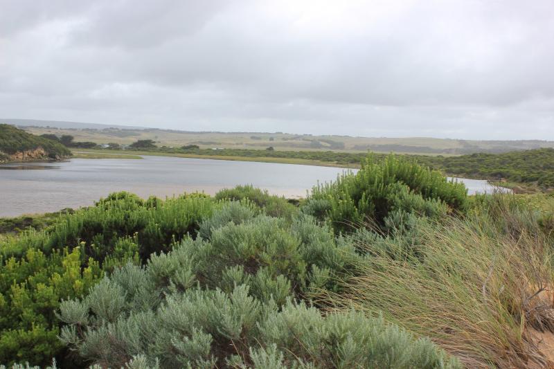
Wide berm formed - low separate berm at beach face, dropping lower before rising up higher near rocks & continuing higher up to estuary
Attempted illegal opening
Beach very high at east end, slightly lower at mid beach but dropping down around mouth. Large irregular high & low areas all along beach
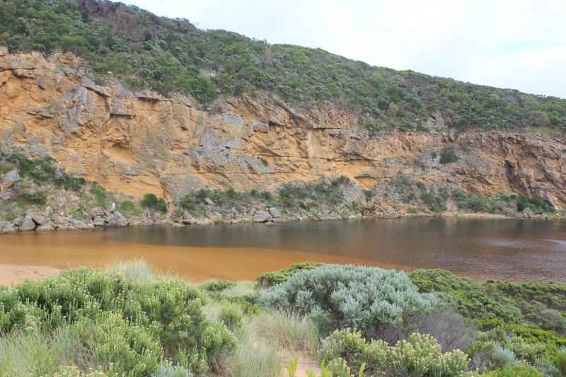
More erosion on south face of Pt. Ronald
Large sand area visible under water extending into estuary from channel. Low track completely under water but no water on top track
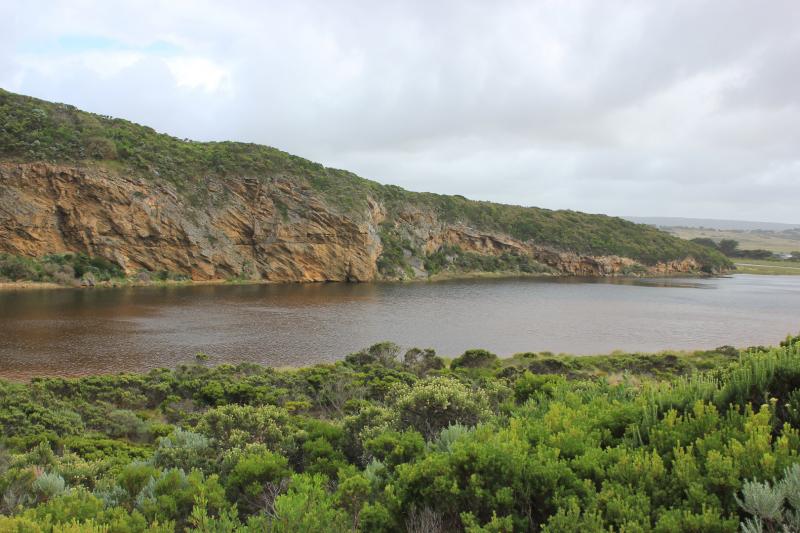
Flooding on flats upstream from Princetown township to G4. Rivernook flats under water & through causeway. Water has filled wide drain at west end of property upstream G4 but no visible water beyond that
Princetown Wetlands now have water cover
We acknowledge and respect Victorian Traditional Owners as the original custodians of Victoria’s land and waters, their unique ability to care for Country and deep spiritual connection to it.
We honour Elders past and present whose knowledge and wisdom has ensured the continuation of culture and traditional practices.
We honour Elders past and present whose knowledge and wisdom has ensured the continuation of culture and traditional practices.
 All content, files, data and images provided by the EstuaryWatch Data Portal subject to a Creative Commons Attribution License
Data portal by CeRDI
All content, files, data and images provided by the EstuaryWatch Data Portal subject to a Creative Commons Attribution License
Data portal by CeRDI