GMC Gellibrand River Estuary Mouth Observation Site
17 February 2017
Observation details
Overview
| Estuary | Gellibrand River Estuary |
|---|---|
| Site | Gellibrand River Estuary Mouth Observation Site |
| Observation ID | #10818 |
| Date and Time | Friday 17th February 2017 09:36am |
| Approved | Approved |
Notes
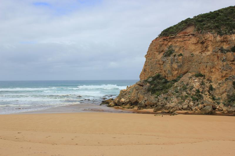
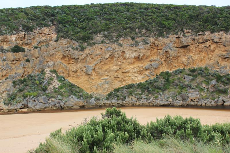
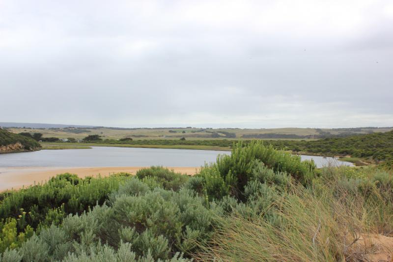
Dark discharge only around mouth, flow between rocks & cliff face (low tide). Recent release (AHD 0.70 20170216) & very low tide causing strong shallow outflow with large close spaced waves immediately downstream rocks
Strong long shore drift across outflow impacting on cliff
Swash line very high up on beach
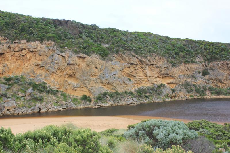
Beach high toward east end but lower near mouth
Large no. small fish in shallows along low track
Princetown N wetlands draining but many birds observed feeding 12 Sliver gulls, 18 Masked plover, 4 Royal spoonbills, 2 with pale bills, 26 White headed Herons
We acknowledge and respect Victorian Traditional Owners as the original custodians of Victoria’s land and waters, their unique ability to care for Country and deep spiritual connection to it.
We honour Elders past and present whose knowledge and wisdom has ensured the continuation of culture and traditional practices.
We honour Elders past and present whose knowledge and wisdom has ensured the continuation of culture and traditional practices.
 All content, files, data and images provided by the EstuaryWatch Data Portal subject to a Creative Commons Attribution License
Data portal by CeRDI
All content, files, data and images provided by the EstuaryWatch Data Portal subject to a Creative Commons Attribution License
Data portal by CeRDI