GMC Gellibrand River Estuary Mouth Observation Site
27 January 2017
Observation details
Overview
| Estuary | Gellibrand River Estuary |
|---|---|
| Site | Gellibrand River Estuary Mouth Observation Site |
| Observation ID | #10765 |
| Date and Time | Friday 27th January 2017 11:15am |
| Approved | Approved |
Notes
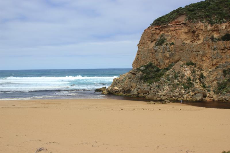
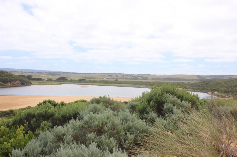
Pale discharge out along beach face to east, then turning out to sea well before rocks at east end
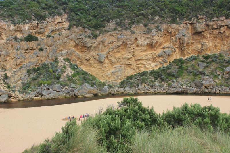
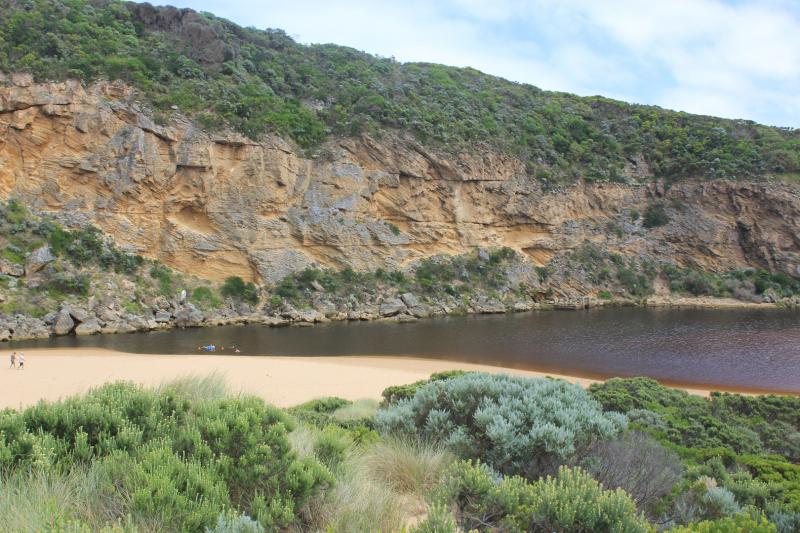
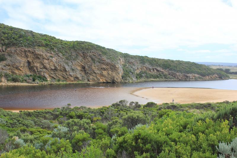
Beach face irregular, sand highest near mouth, mid beach & east end. Sand has increased at mouth & in channel
Long shore drift across mouth with occasional waves entering into channel. Sea has been well up on beach & turning, travelling west to mouth & channel
Rock falls & erosion continues at south face of Pt. Ronald
Algae & unusual dried white scum on stream side veg
Some small fish & crabs in shallow water beside low track close to car park, Flathead Gudgeons remain in cut off tidal pool
Large no. people on beach & around estuary. March flies in large nos.
We acknowledge and respect Victorian Traditional Owners as the original custodians of Victoria’s land and waters, their unique ability to care for Country and deep spiritual connection to it.
We honour Elders past and present whose knowledge and wisdom has ensured the continuation of culture and traditional practices.
We honour Elders past and present whose knowledge and wisdom has ensured the continuation of culture and traditional practices.
 All content, files, data and images provided by the EstuaryWatch Data Portal subject to a Creative Commons Attribution License
Data portal by CeRDI
All content, files, data and images provided by the EstuaryWatch Data Portal subject to a Creative Commons Attribution License
Data portal by CeRDI