GMC Gellibrand River Estuary Mouth Observation Site
15 October 2016
Observation details
Overview
| Estuary | Gellibrand River Estuary |
|---|---|
| Site | Gellibrand River Estuary Mouth Observation Site |
| Observation ID | #10717 |
| Date and Time | Saturday 15th October 2016 09:05am |
| Approved | Approved |
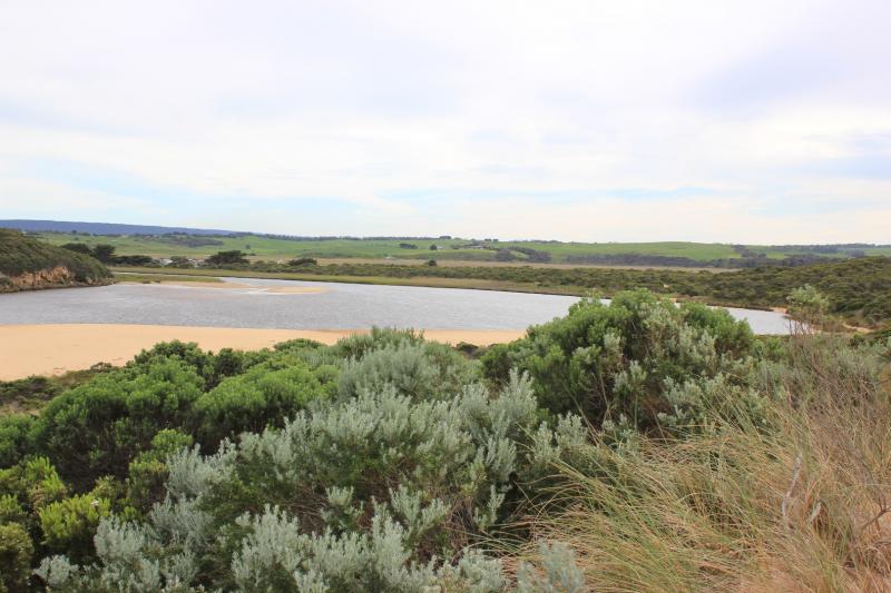
Notes
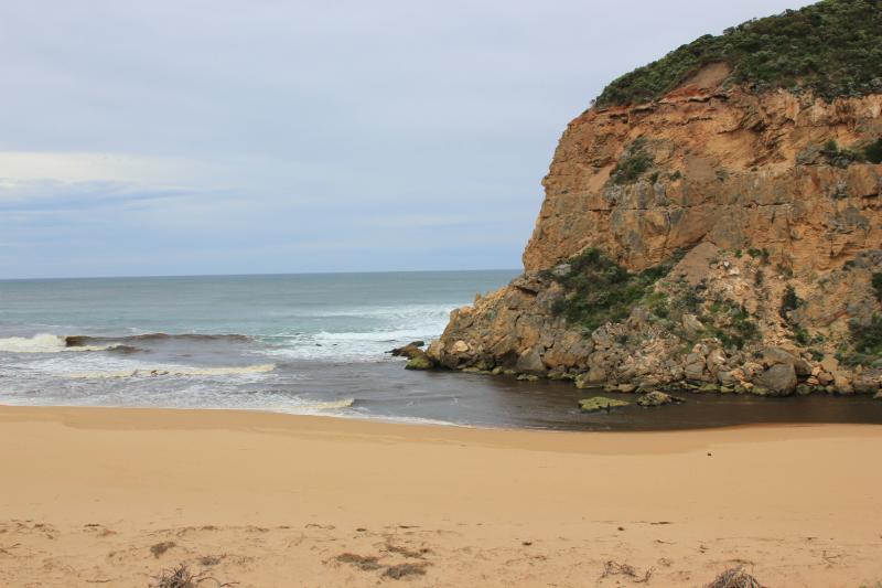
- very dark dirty discharge out directly to east only
- no waves entering / longshore drift present, SW swell continues to impat east end of beach
- beach very high near east end
- very low tide sand bar exposed
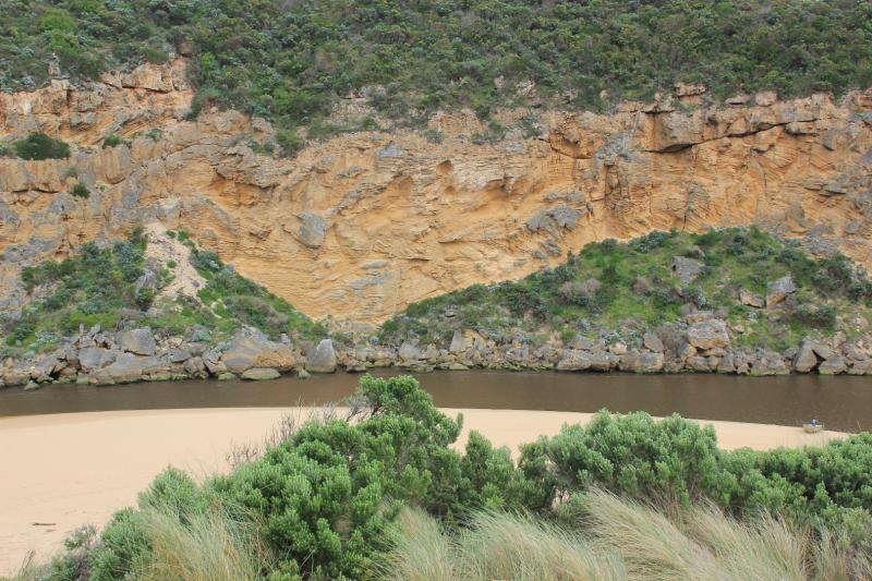
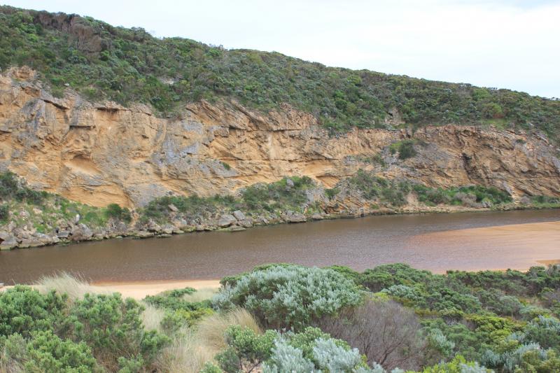
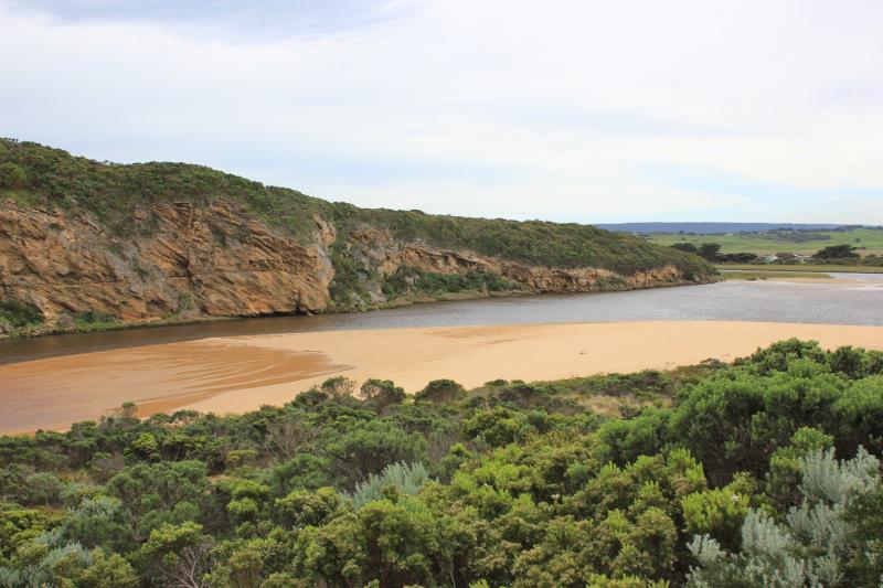
- huge expanse of sand S side of esturay exposed extending into estuary well beyond tunnel (distance from sand near tunnel 30m)
- low track has been built up by sand in ,any areas
- sea grass exposed and coveres with silt
- change in shape of sandbar
We acknowledge and respect Victorian Traditional Owners as the original custodians of Victoria’s land and waters, their unique ability to care for Country and deep spiritual connection to it.
We honour Elders past and present whose knowledge and wisdom has ensured the continuation of culture and traditional practices.
We honour Elders past and present whose knowledge and wisdom has ensured the continuation of culture and traditional practices.
 All content, files, data and images provided by the EstuaryWatch Data Portal subject to a Creative Commons Attribution License
Data portal by CeRDI
All content, files, data and images provided by the EstuaryWatch Data Portal subject to a Creative Commons Attribution License
Data portal by CeRDI