GMC Gellibrand River Estuary Mouth Observation Site
17 September 2016
Observation details
Overview
| Estuary | Gellibrand River Estuary |
|---|---|
| Site | Gellibrand River Estuary Mouth Observation Site |
| Observation ID | #10715 |
| Date and Time | Saturday 17th September 2016 08:50am |
| Approved | Approved |
Notes
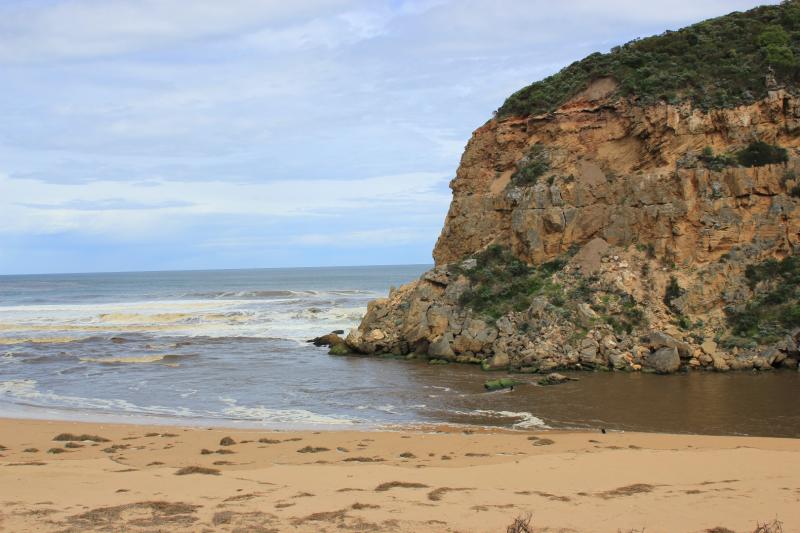
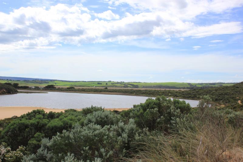
- longshore drift active meeting outflow and incoming S/W swell. waves in all directions, backwash along beach rolling sand
- extremely fast dark dirty flow around mouth to east west and going out to sea about mid beach
- some waves entering over top of out flow and travelling into estuary
- 2 hooded plovers and 1 young ?
- 2 surfers on jetskis
- 2 canoe paddles found east end of beach
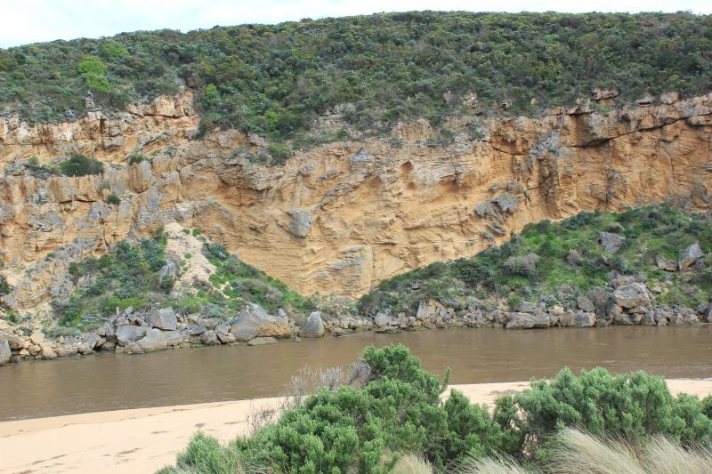
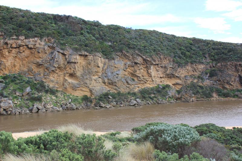
- more erosion to cliff face
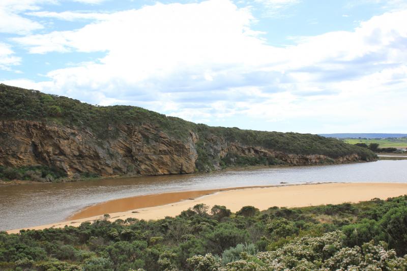
- beach very wide
- wavs continue to erode east end of beach to sand dunes (height over 2m)
- beach much higher about 40 m west and extends out to sea
- debris from flood water along beach
- channel has 60cm high sheer sides
- large deposits of frog spawn in debris at side of channel
- Burrupa peaked on 16/9/16
- G6 peaked about 12:40 17/9/16
- water receding all areas 18/9/16
We acknowledge and respect Victorian Traditional Owners as the original custodians of Victoria’s land and waters, their unique ability to care for Country and deep spiritual connection to it.
We honour Elders past and present whose knowledge and wisdom has ensured the continuation of culture and traditional practices.
We honour Elders past and present whose knowledge and wisdom has ensured the continuation of culture and traditional practices.
 All content, files, data and images provided by the EstuaryWatch Data Portal subject to a Creative Commons Attribution License
Data portal by CeRDI
All content, files, data and images provided by the EstuaryWatch Data Portal subject to a Creative Commons Attribution License
Data portal by CeRDI