GMC Gellibrand River Estuary Mouth Observation Site
5 September 2016
Observation details
Overview
| Estuary | Gellibrand River Estuary |
|---|---|
| Site | Gellibrand River Estuary Mouth Observation Site |
| Observation ID | #10714 |
| Date and Time | Monday 5th September 2016 11:28am |
| Approved | Approved |
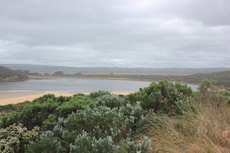
Notes
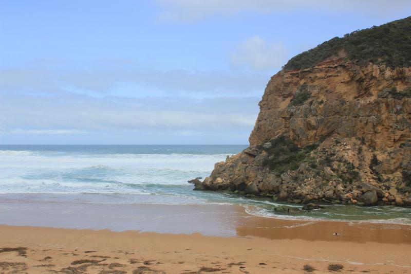
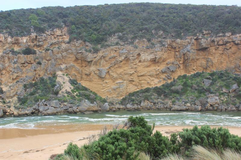
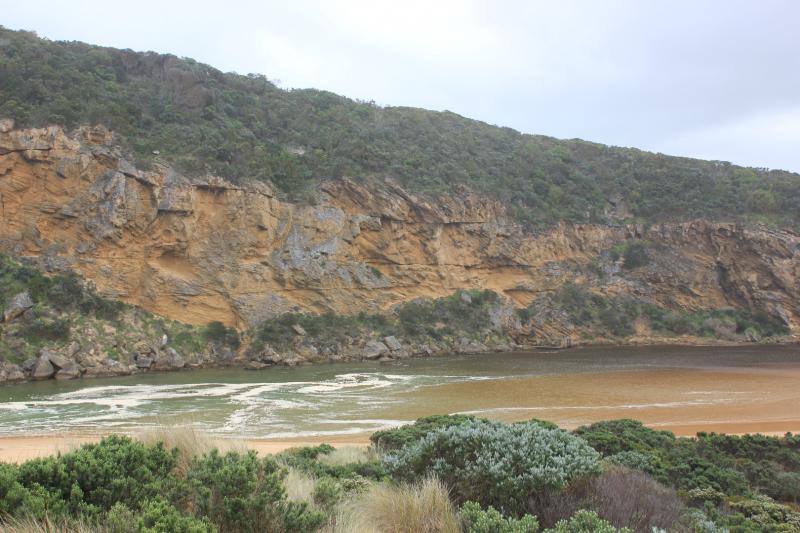
- salt water entering channel up to tunnel entrance at times
- sand building up at enterance (visible up to and around rocks under shallow waves)
- main flow between rocks and cliff
- waves high up on beach (very wide area and highest at mid beach) dragging and rolling sand being tossed by LSD from SW swell impact at east end as it travels to mouth
- east end of beach carves out
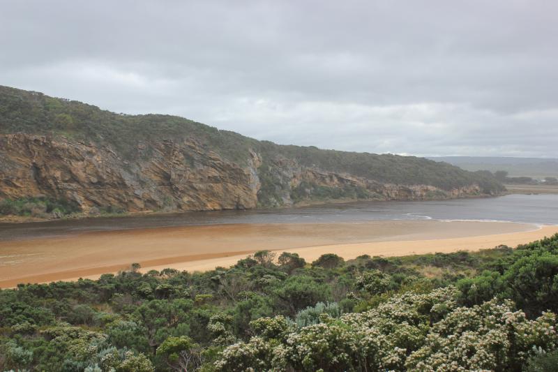
- waves travelling N across sand bar in estuary
- 1 hooded plover feeding along coast line
- road excavation at flood marks OOR, water very dark and smells bad
- flood water around G$ water logged
- water still retained around G5 - Cape pondweed prolific
We acknowledge and respect Victorian Traditional Owners as the original custodians of Victoria’s land and waters, their unique ability to care for Country and deep spiritual connection to it.
We honour Elders past and present whose knowledge and wisdom has ensured the continuation of culture and traditional practices.
We honour Elders past and present whose knowledge and wisdom has ensured the continuation of culture and traditional practices.
 All content, files, data and images provided by the EstuaryWatch Data Portal subject to a Creative Commons Attribution License
Data portal by CeRDI
All content, files, data and images provided by the EstuaryWatch Data Portal subject to a Creative Commons Attribution License
Data portal by CeRDI