GMC Gellibrand River Estuary Mouth Observation Site
16 July 2016
Observation details
Overview
| Estuary | Gellibrand River Estuary |
|---|---|
| Site | Gellibrand River Estuary Mouth Observation Site |
| Observation ID | #10709 |
| Date and Time | Saturday 16th July 2016 11:01am |
| Approved | Approved |
Notes
- water levels were much higher on the 13/7/16 AHD 1.43 at 13:43
- very strong dark discharge out around mouth and to east
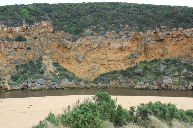
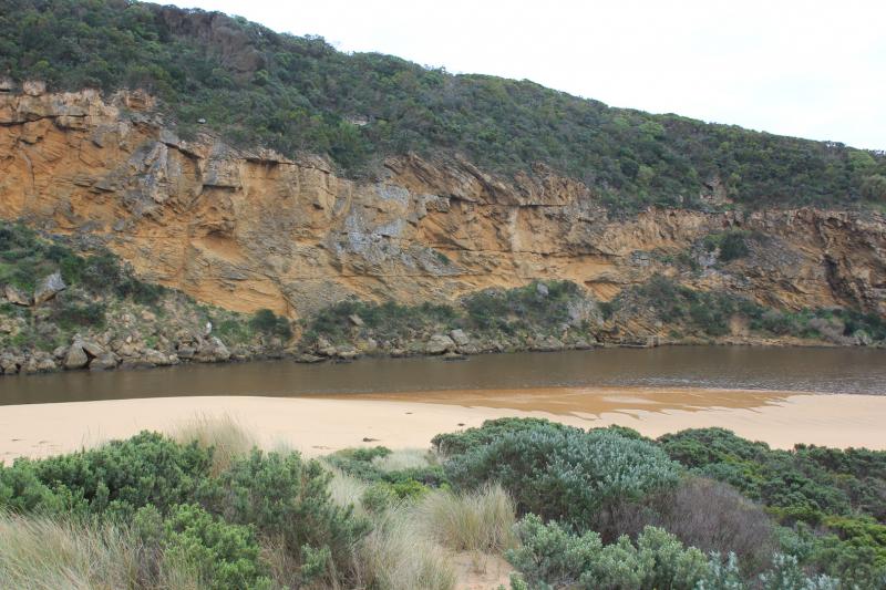
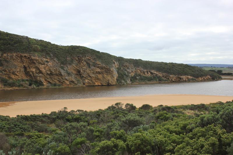
- dark water out to pas 2nd sand bar form east west and along beach front
- entrance is wide and fast flowing amd dirty. large amount of debris on beach
- a .6 - .8m sheer face to edge of channel
- east end of beach continues to scour out because of swell impact - reaching up into dunes
- all of the beach is covered in silt and broken veg
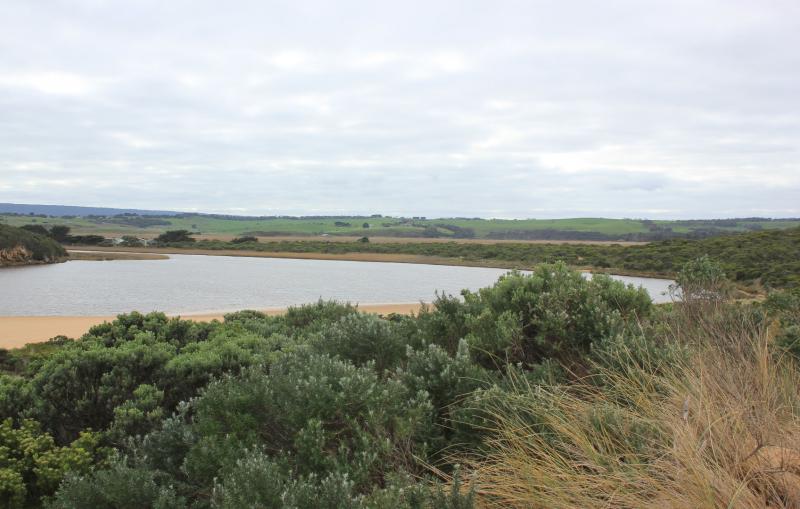
- low track partly uncovered - receding water levels have left a large circular "drainage" funnels
- rotting seaweed along SE estuary and low track
- some puddles covered with bubbles (photo)
- 5 stranded elvers, S side of estuary near start of channel

We acknowledge and respect Victorian Traditional Owners as the original custodians of Victoria’s land and waters, their unique ability to care for Country and deep spiritual connection to it.
We honour Elders past and present whose knowledge and wisdom has ensured the continuation of culture and traditional practices.
We honour Elders past and present whose knowledge and wisdom has ensured the continuation of culture and traditional practices.
 All content, files, data and images provided by the EstuaryWatch Data Portal subject to a Creative Commons Attribution License
Data portal by CeRDI
All content, files, data and images provided by the EstuaryWatch Data Portal subject to a Creative Commons Attribution License
Data portal by CeRDI