GMC Gellibrand River Estuary Mouth Observation Site
6 January 2017
Observation details
Overview
| Estuary | Gellibrand River Estuary |
|---|---|
| Site | Gellibrand River Estuary Mouth Observation Site |
| Observation ID | #10678 |
| Date and Time | Friday 6th January 2017 07:30am |
| Approved | Approved |
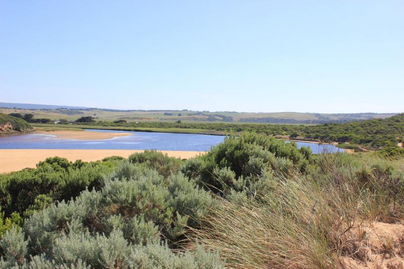
Notes
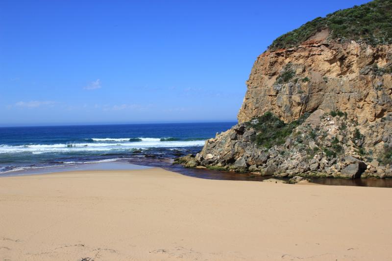
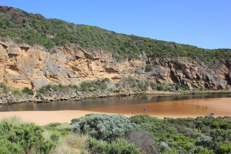
Observations taken nearing low tide
Flow reducing. Pale discharge out around mouth & along shoreline to east, also some to west.
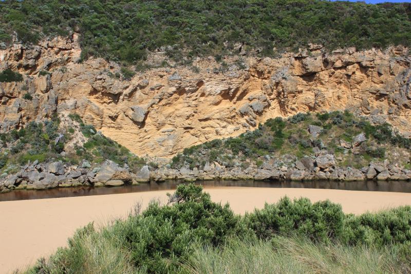
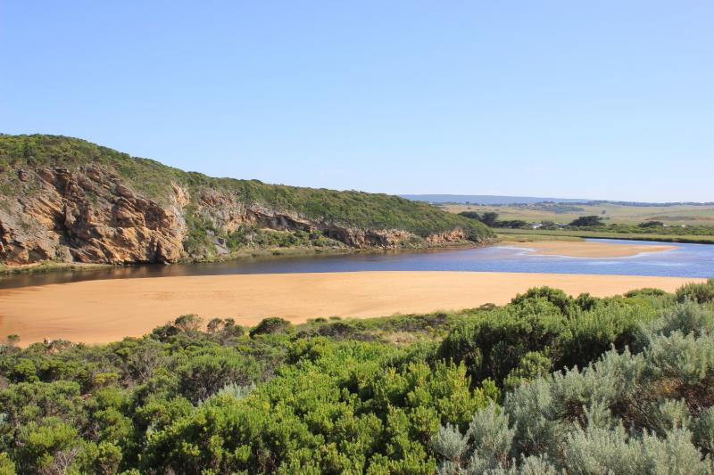
Beach curved with highest area near mouth
Channel shallow sand has built up at mid channel & at entrance. Flow only between rock & cliff face through shallow rapids. Edge of channel has steep bank .50m above water level
Very large no. small fish in shallow water beside low track close to stream side veg. 5 turquoise dragonflies in that area
We acknowledge and respect Victorian Traditional Owners as the original custodians of Victoria’s land and waters, their unique ability to care for Country and deep spiritual connection to it.
We honour Elders past and present whose knowledge and wisdom has ensured the continuation of culture and traditional practices.
We honour Elders past and present whose knowledge and wisdom has ensured the continuation of culture and traditional practices.
 All content, files, data and images provided by the EstuaryWatch Data Portal subject to a Creative Commons Attribution License
Data portal by CeRDI
All content, files, data and images provided by the EstuaryWatch Data Portal subject to a Creative Commons Attribution License
Data portal by CeRDI