GMC Gellibrand River Estuary Mouth Observation Site
30 December 2016
Observation details
Overview
| Estuary | Gellibrand River Estuary |
|---|---|
| Site | Gellibrand River Estuary Mouth Observation Site |
| Observation ID | #10657 |
| Date and Time | Friday 30th December 2016 09:40am |
| Approved | Approved |
Notes
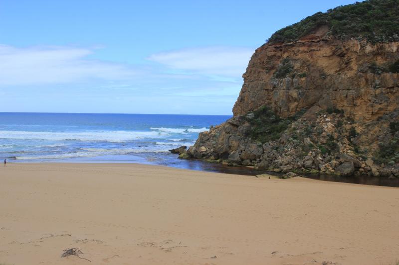
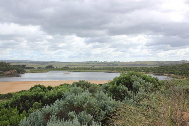
Dark discharge out around mouth, to east & also to west, slight longshore drift across mouth
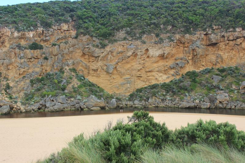
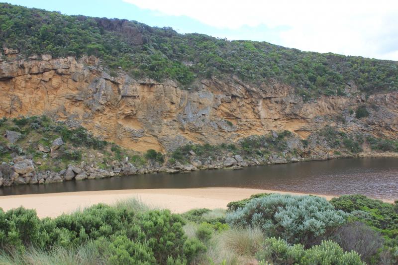
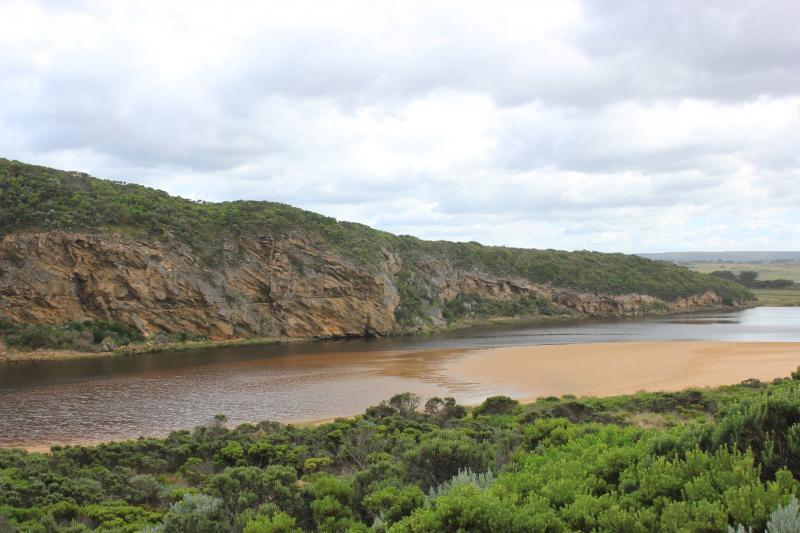
Beach horseshoe shaped, with high sand along beach face, highest close to mouth. Beach very wide
Small area of sand bar in estuary exposed & large expanse of sand south side of estuary. Many small fish in water beside low track close to car park
Dead Black Bream SE side of estuary where scum has accumulated
We acknowledge and respect Victorian Traditional Owners as the original custodians of Victoria’s land and waters, their unique ability to care for Country and deep spiritual connection to it.
We honour Elders past and present whose knowledge and wisdom has ensured the continuation of culture and traditional practices.
We honour Elders past and present whose knowledge and wisdom has ensured the continuation of culture and traditional practices.
 All content, files, data and images provided by the EstuaryWatch Data Portal subject to a Creative Commons Attribution License
Data portal by CeRDI
All content, files, data and images provided by the EstuaryWatch Data Portal subject to a Creative Commons Attribution License
Data portal by CeRDI