GMC Gellibrand River Estuary Mouth Observation Site
10 December 2016
Observation details
Overview
| Estuary | Gellibrand River Estuary |
|---|---|
| Site | Gellibrand River Estuary Mouth Observation Site |
| Observation ID | #10624 |
| Date and Time | Saturday 10th December 2016 09:37am |
| Approved | Approved |
Notes
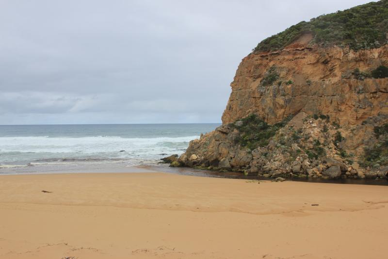
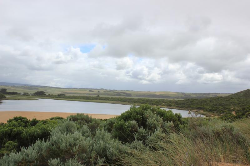
- Reduced outflow out shallow over large sand build up at mouth. Travelling east along foreshore. Long shore drift across mouth
- Swash line up high on beach with 1000's+ Velella at all stages of development
- Strong wind gusts (8) on 07/12/16 have reshaped the dunes especially next to Gp1 & E end of beach
- Steep rise from sea at E end of beach but rocky area has been scoured out (depth to sea about 5 - 8m)
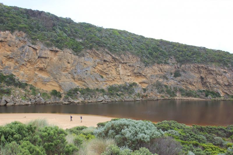
- Steep rise in height of sand at E end beach then dips down at mid beach where waves impact then rises even higher close to mouth
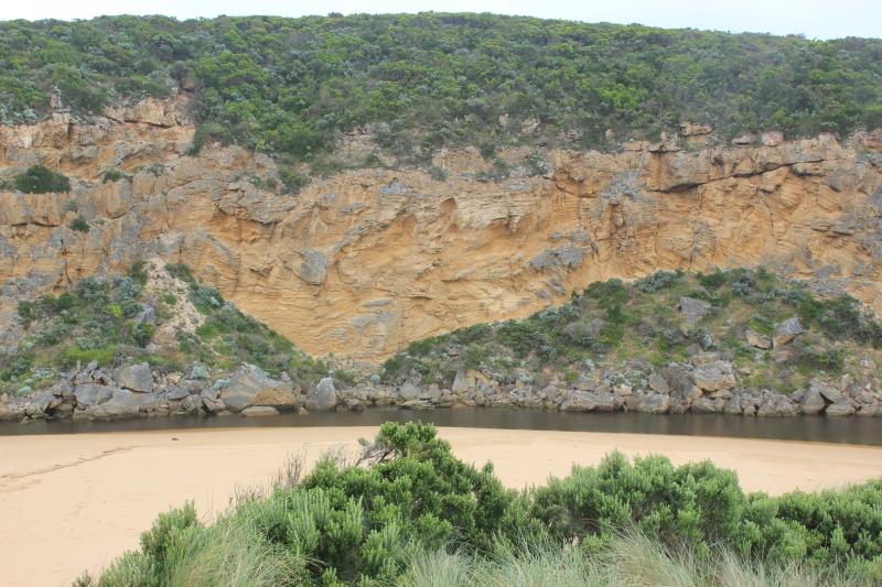
- More rock falls on west cliff face
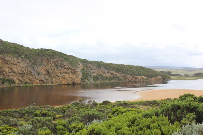
- Area where channel meets estuary has changed - much wider, large areas of black sand are have been deposited in this area
- Only mosquito lava seen in scour holes along low track, but closer to car park small fish were present in confined areas
- Pacific gull observed at E end of beach
We acknowledge and respect Victorian Traditional Owners as the original custodians of Victoria’s land and waters, their unique ability to care for Country and deep spiritual connection to it.
We honour Elders past and present whose knowledge and wisdom has ensured the continuation of culture and traditional practices.
We honour Elders past and present whose knowledge and wisdom has ensured the continuation of culture and traditional practices.
 All content, files, data and images provided by the EstuaryWatch Data Portal subject to a Creative Commons Attribution License
Data portal by CeRDI
All content, files, data and images provided by the EstuaryWatch Data Portal subject to a Creative Commons Attribution License
Data portal by CeRDI