GMC Gellibrand River Estuary Mouth Observation Site
4 December 2016
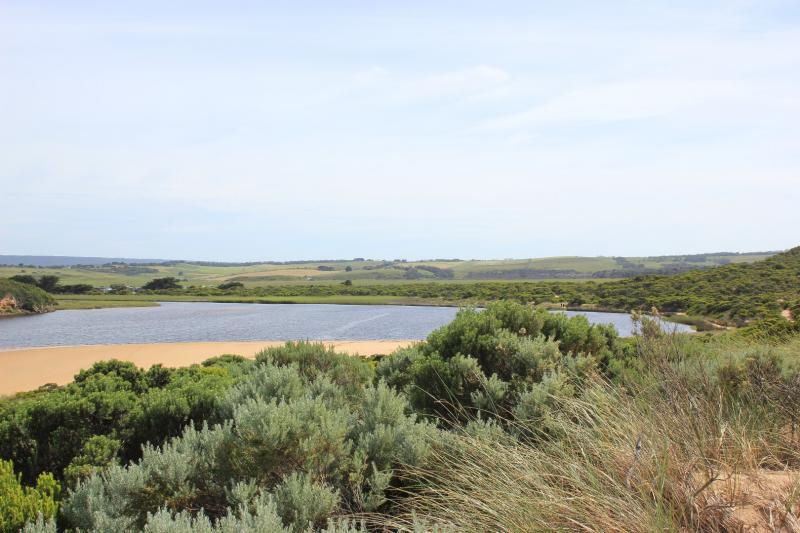
Observation details
Overview
| Estuary | Gellibrand River Estuary |
|---|---|
| Site | Gellibrand River Estuary Mouth Observation Site |
| Observation ID | #10598 |
| Date and Time | Sunday 4th December 2016 09:30am |
| Approved | Approved |
Notes
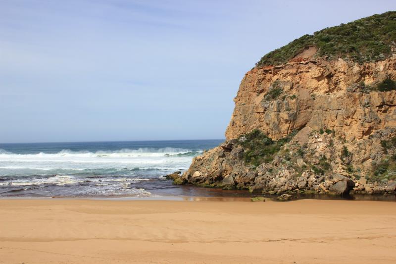
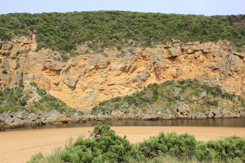
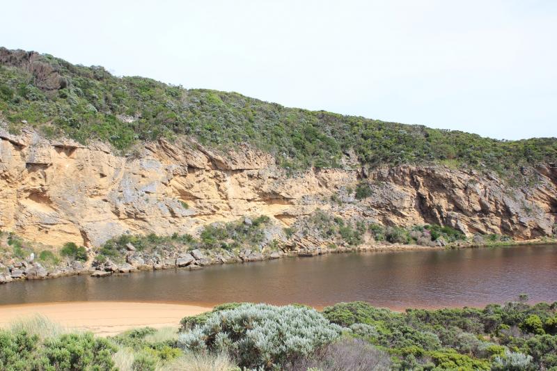
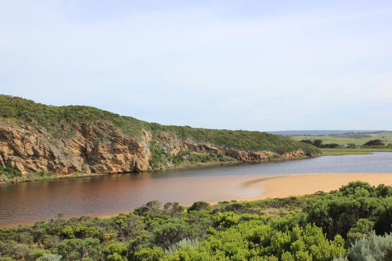
- Observations taken at low tide
- Flow out -reducing dark discharge out over sand build up at mouth. Travelling east along foreshore & going out to sea about 2/3 rds' along beach
- Sand visible in breakers out to sea
- Hi tide has been well up on beach & estuary
- Eastern end of beach has larger curve & sand is highest closer to mouth
- Dark silt in swash line along beach & in estuary. This pattern clearly shows how storm surge 12/11/16 deposited sand along south side of estuary
- Mouth affected by long shore drift sending some small waves into channel
- Very large no small fish in shallow water along south side of estuary
- 1 dead Shear water (foxed) near mouth
We acknowledge and respect Victorian Traditional Owners as the original custodians of Victoria’s land and waters, their unique ability to care for Country and deep spiritual connection to it.
We honour Elders past and present whose knowledge and wisdom has ensured the continuation of culture and traditional practices.
We honour Elders past and present whose knowledge and wisdom has ensured the continuation of culture and traditional practices.
 All content, files, data and images provided by the EstuaryWatch Data Portal subject to a Creative Commons Attribution License
Data portal by CeRDI
All content, files, data and images provided by the EstuaryWatch Data Portal subject to a Creative Commons Attribution License
Data portal by CeRDI