GMC Gellibrand River Estuary Mouth Observation Site
12 May 2016
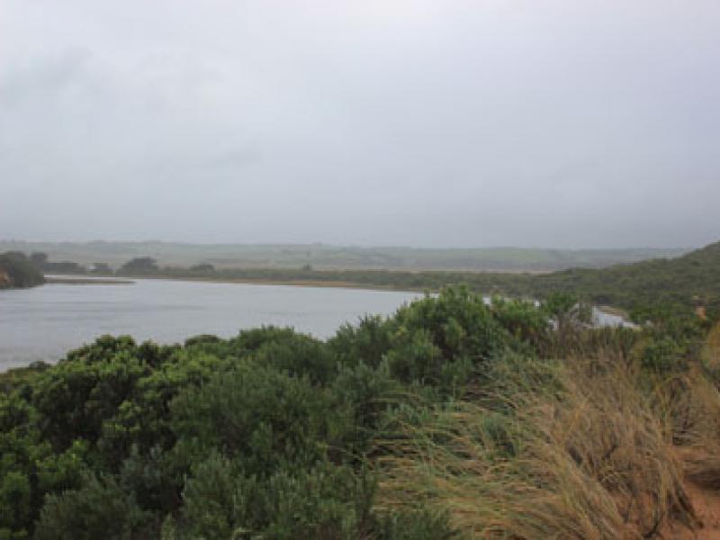
Observation details
Overview
| Estuary | Gellibrand River Estuary |
|---|---|
| Site | Gellibrand River Estuary Mouth Observation Site |
| Observation ID | #10358 |
| Date and Time | Thursday 12th May 2016 07:30am |
| Approved | Approved |
Notes
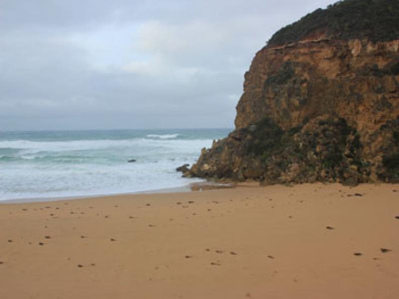
- Opening attempt 11/5/16 failed as very rough seas over night filled in the channel with sand
- More sand on berm, the largest rock is now almost completely covered
- 3rd P.O. commenced 09:00 in deep water (berm extended a long way into the estuary under water)
- Observations made at low tide
- Beach higher at midway with gentle slope down to ocean in front of estuary
- Wind from south on beach & from north across estuary & down channel
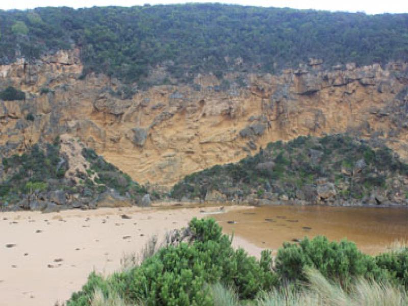
- 10:30 water strongly flowing out of new excavated channel
- OCR completely covered east of G2 bridge
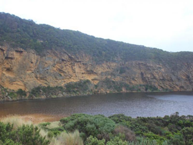
- GOR water over to opposite side white line
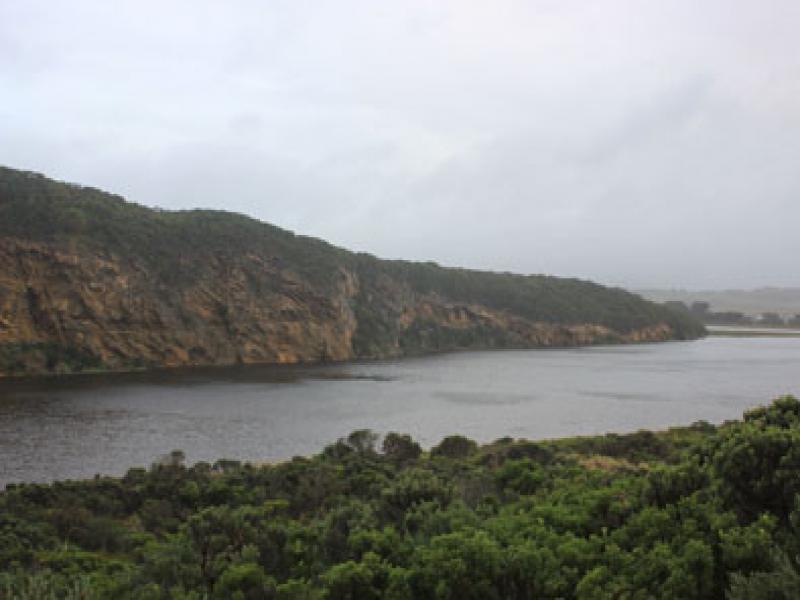
- OOR road underwater to GOR
- Extensive flooding upstream on both sides of river channel
We acknowledge and respect Victorian Traditional Owners as the original custodians of Victoria’s land and waters, their unique ability to care for Country and deep spiritual connection to it.
We honour Elders past and present whose knowledge and wisdom has ensured the continuation of culture and traditional practices.
We honour Elders past and present whose knowledge and wisdom has ensured the continuation of culture and traditional practices.
 All content, files, data and images provided by the EstuaryWatch Data Portal subject to a Creative Commons Attribution License
Data portal by CeRDI
All content, files, data and images provided by the EstuaryWatch Data Portal subject to a Creative Commons Attribution License
Data portal by CeRDI