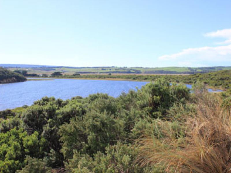
GMC Gellibrand River Estuary Mouth Observation Site
9 May 2016
Observation details
Overview
| Estuary | Gellibrand River Estuary |
|---|---|
| Site | Gellibrand River Estuary Mouth Observation Site |
| Observation ID | #10355 |
| Date and Time | Monday 9th May 2016 12:10pm |
| Approved | Approved |
Notes
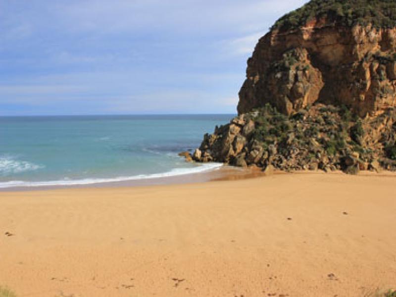
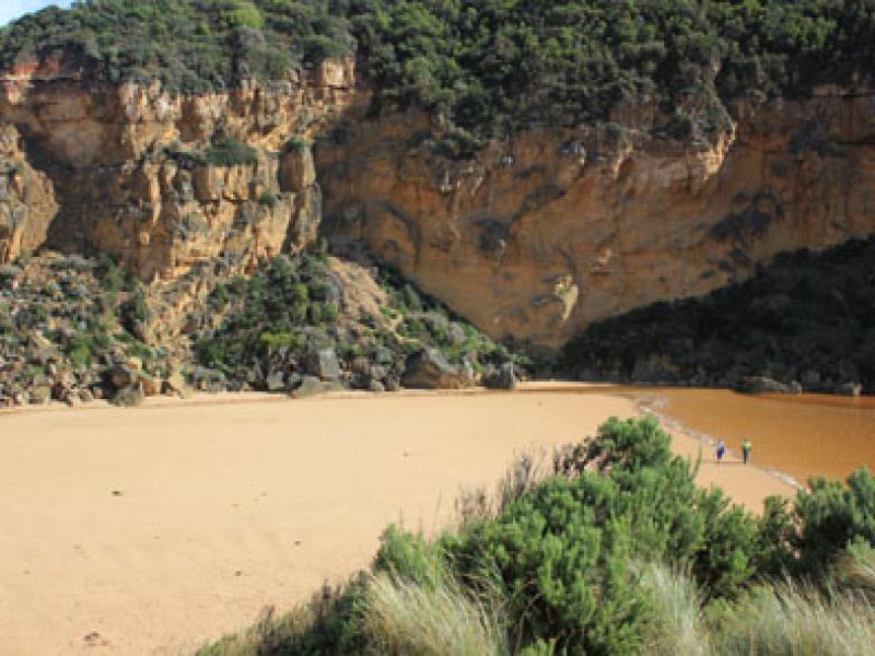
- Mouth closed
- Wave going high up on beach
- More rock falls with large rocks smashed
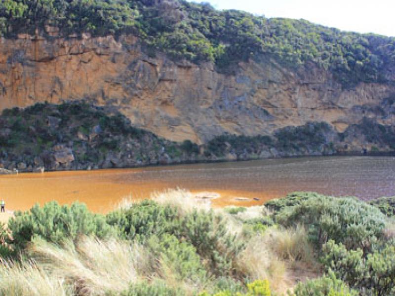
- Many small fish swimming near surface around G2
- 13:07 Attempted P.O. Narrow shallow channel dug with water flowing out to sea by13:41
- Flood water about 1/2 way across GOR
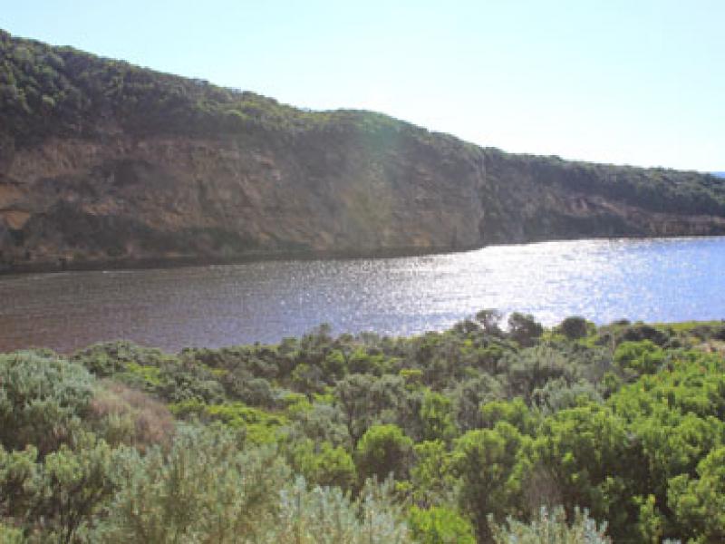
- Increased flood levels in all areas, water over road in camp ground
We acknowledge and respect Victorian Traditional Owners as the original custodians of Victoria’s land and waters, their unique ability to care for Country and deep spiritual connection to it.
We honour Elders past and present whose knowledge and wisdom has ensured the continuation of culture and traditional practices.
We honour Elders past and present whose knowledge and wisdom has ensured the continuation of culture and traditional practices.
 All content, files, data and images provided by the EstuaryWatch Data Portal subject to a Creative Commons Attribution License
Data portal by CeRDI
All content, files, data and images provided by the EstuaryWatch Data Portal subject to a Creative Commons Attribution License
Data portal by CeRDI