GMC Gellibrand River Estuary Mouth Observation Site
7 May 2016
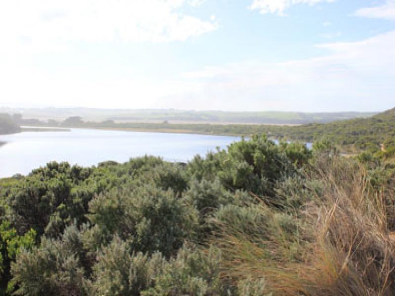
Observation details
Overview
| Estuary | Gellibrand River Estuary |
|---|---|
| Site | Gellibrand River Estuary Mouth Observation Site |
| Observation ID | #10354 |
| Date and Time | Saturday 7th May 2016 12:05pm |
| Approved | Approved |
Notes
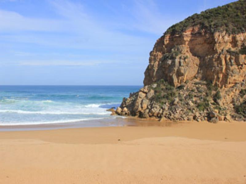
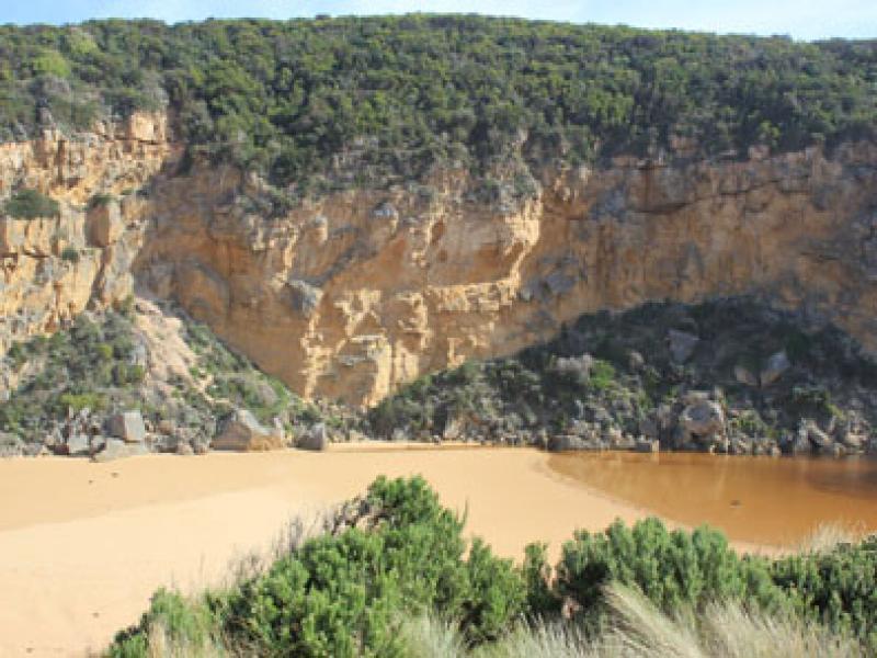
- Mouth barred, estuary almost straight across from cliff to dune (below Gp1 site). Waves going over but not reaching estuary
- Erosion occurring at southern end of cliff - small rock falls
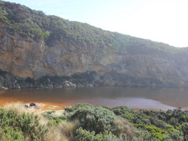
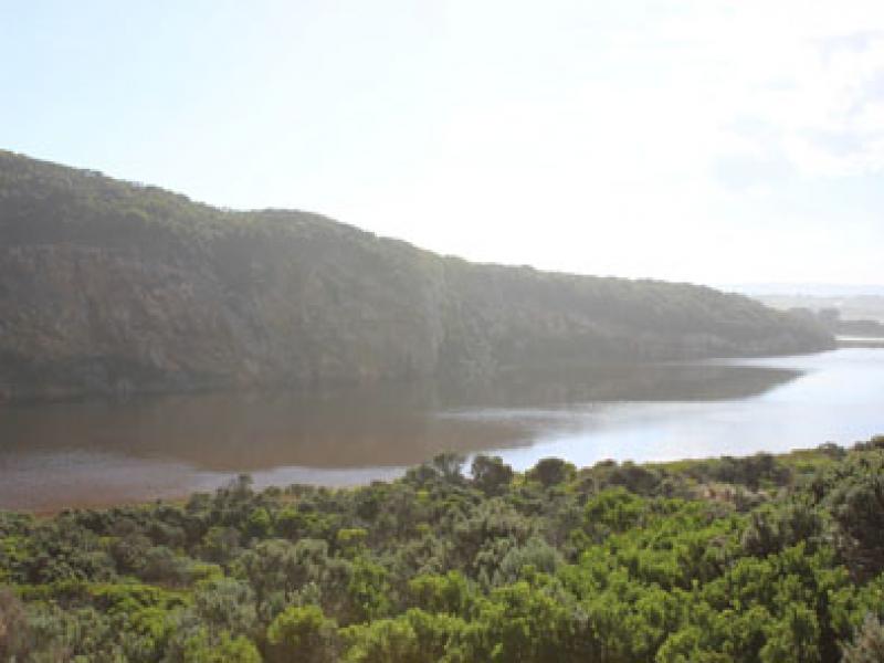
- Flood levels increasing upstream & in wetlands. Many waterbirds in flooded areas also small fish
- OCR- water at sides of road but not across, west end of campground & adjoining property entrance under water. Picnic area & boardwalk wetland area flooded
- GOR -water about 1/3 across
- OOR -increased flood level at flood markers & water at sides of road further west toward GOR
We acknowledge and respect Victorian Traditional Owners as the original custodians of Victoria’s land and waters, their unique ability to care for Country and deep spiritual connection to it.
We honour Elders past and present whose knowledge and wisdom has ensured the continuation of culture and traditional practices.
We honour Elders past and present whose knowledge and wisdom has ensured the continuation of culture and traditional practices.
 All content, files, data and images provided by the EstuaryWatch Data Portal subject to a Creative Commons Attribution License
Data portal by CeRDI
All content, files, data and images provided by the EstuaryWatch Data Portal subject to a Creative Commons Attribution License
Data portal by CeRDI