GMC Gellibrand River Estuary Mouth Observation Site
4 May 2016
Observation details
Overview
| Estuary | Gellibrand River Estuary |
|---|---|
| Site | Gellibrand River Estuary Mouth Observation Site |
| Observation ID | #10350 |
| Date and Time | Wednesday 4th May 2016 08:20am |
| Approved | Approved |
Notes
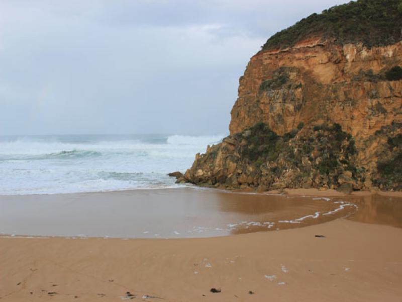
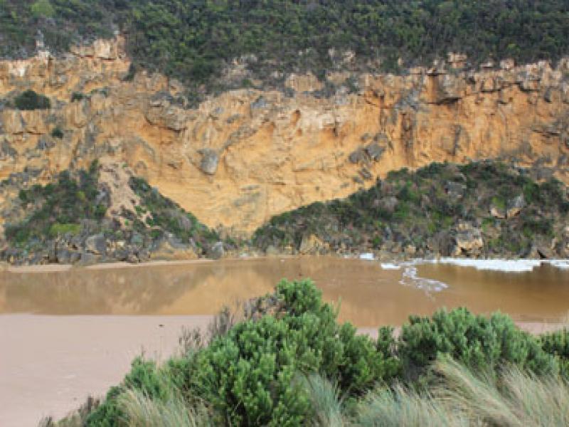
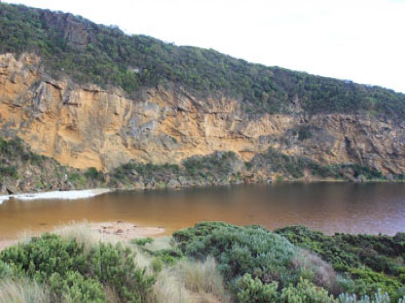
- Mouth closed but waves from V.rough/high sea over, some reaching estuary across a very wide front
- Backwash from waves rolling large amount of sand back to ocean leaving deep channels
- Waves very high up on beach at east end
- Dead mackerel at base of Gp1
- Low track under water up to car park, large amount of water on top track, deep water at west end of camp ground and at sides of OCR
- Water commencing to cross over OOR at flood markers
- Extensive flooding from Princetown to G4 and along south side of channel to G5
- Galaxias commencing to spawn in flooded areas.

We acknowledge and respect Victorian Traditional Owners as the original custodians of Victoria’s land and waters, their unique ability to care for Country and deep spiritual connection to it.
We honour Elders past and present whose knowledge and wisdom has ensured the continuation of culture and traditional practices.
We honour Elders past and present whose knowledge and wisdom has ensured the continuation of culture and traditional practices.
 All content, files, data and images provided by the EstuaryWatch Data Portal subject to a Creative Commons Attribution License
Data portal by CeRDI
All content, files, data and images provided by the EstuaryWatch Data Portal subject to a Creative Commons Attribution License
Data portal by CeRDI