GMC Gellibrand River Estuary Mouth Observation Site
30 April 2016
Observation details
Overview
| Estuary | Gellibrand River Estuary |
|---|---|
| Site | Gellibrand River Estuary Mouth Observation Site |
| Observation ID | #10277 |
| Date and Time | Saturday 30th April 2016 09:15am |
| Approved | Approved |
Notes
- Observations made near low tide
- Berm increased in length. More sand at ocean exposed & more build up out to sea
- Some waves have topped the berm but not gone far up the beach
- Beach, wide & curved. At east end, sand projection extending out to sea creating 2nd smaller bay
- WSW swell impacting strongly at east end with longshore drift travelling to projection but not much beyond that area
- Sand build up along berm higher near mouth, reducing in height as it nears western cliff
- Large amount of sand in waves in sea near mouth
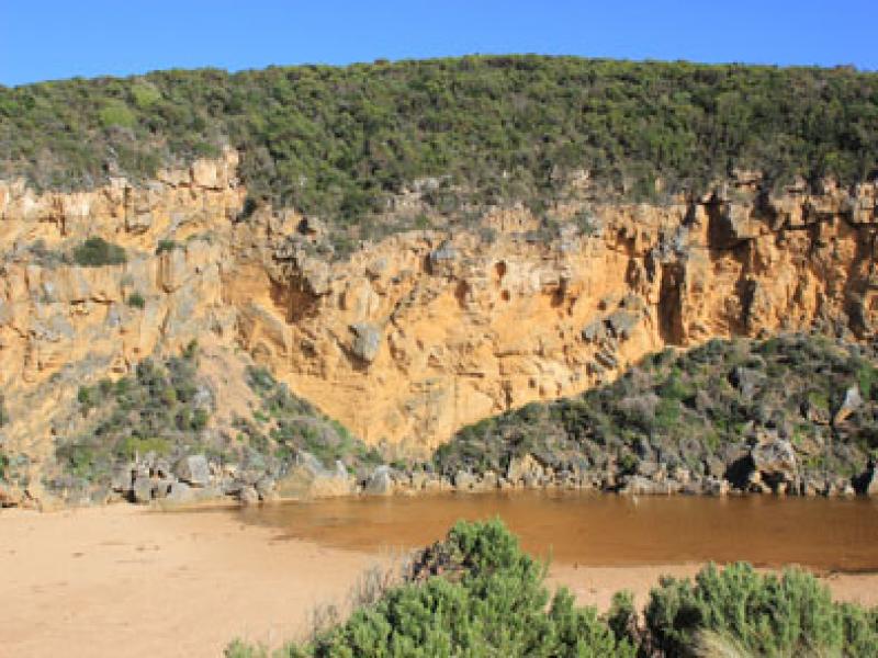
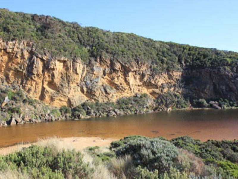
- More erosion along southern end of cliff
- Peregrine falcon along cliff
- Top track has more water cover & water is over the low track up to ocean car park
- Run off in camp ground but no water over OCR. Water only along side of OOR at flood markers
- Princetown wetlands flooded up to G4
- Very large number of water birds in flood waters
- Many o/s tourists photographing birds on wetlands north of Township
- Hooded plover(3) sighted on Rivernook beach
- N wind strengthening throughout monitoring

We acknowledge and respect Victorian Traditional Owners as the original custodians of Victoria’s land and waters, their unique ability to care for Country and deep spiritual connection to it.
We honour Elders past and present whose knowledge and wisdom has ensured the continuation of culture and traditional practices.
We honour Elders past and present whose knowledge and wisdom has ensured the continuation of culture and traditional practices.
 All content, files, data and images provided by the EstuaryWatch Data Portal subject to a Creative Commons Attribution License
Data portal by CeRDI
All content, files, data and images provided by the EstuaryWatch Data Portal subject to a Creative Commons Attribution License
Data portal by CeRDI