GMC Gellibrand River Estuary Mouth Observation Site
23 April 2016
Observation details
Overview
| Estuary | Gellibrand River Estuary |
|---|---|
| Site | Gellibrand River Estuary Mouth Observation Site |
| Observation ID | #10260 |
| Date and Time | Saturday 23rd April 2016 11:45am |
| Approved | Approved |
Notes
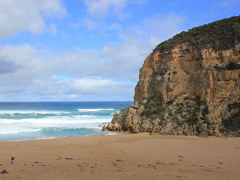
- Mouth closed, some occasional waves from rough sea travelling about 20m. over the berm near the cliff face but not reaching the estuary
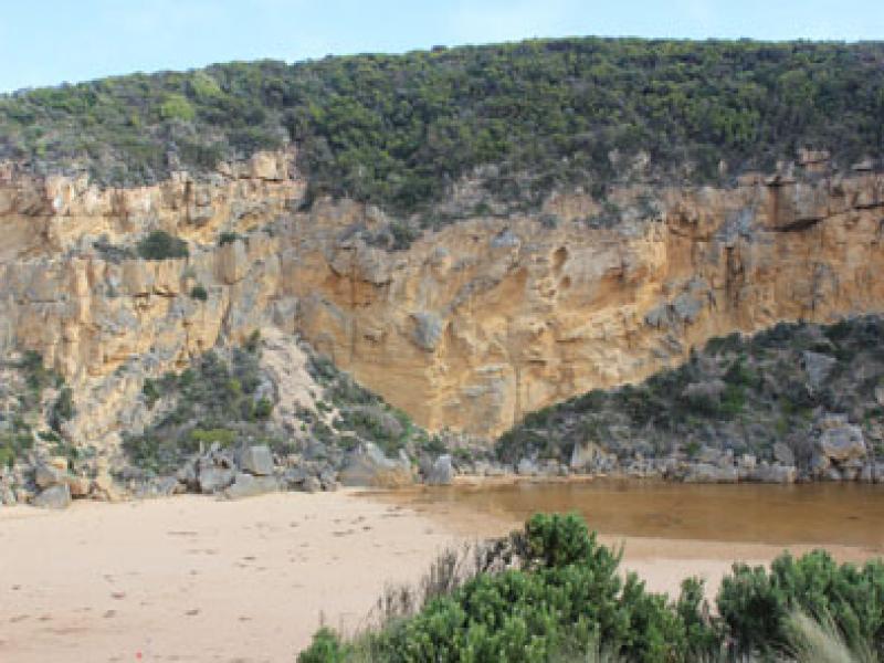
- Length of berm greatly reduced but large area of sand under very shallow water extends from channel into a large area of the estuary
- Waves from south directly impacting area near cliff
- Beach front has straightened out
- Large amount of sand visible in breakers out to sea, especially near western part of beach
- Water starting to come onto low area of top track, none on OCR & only in small areas near the flood markers on OOR (road has recently been reformed)
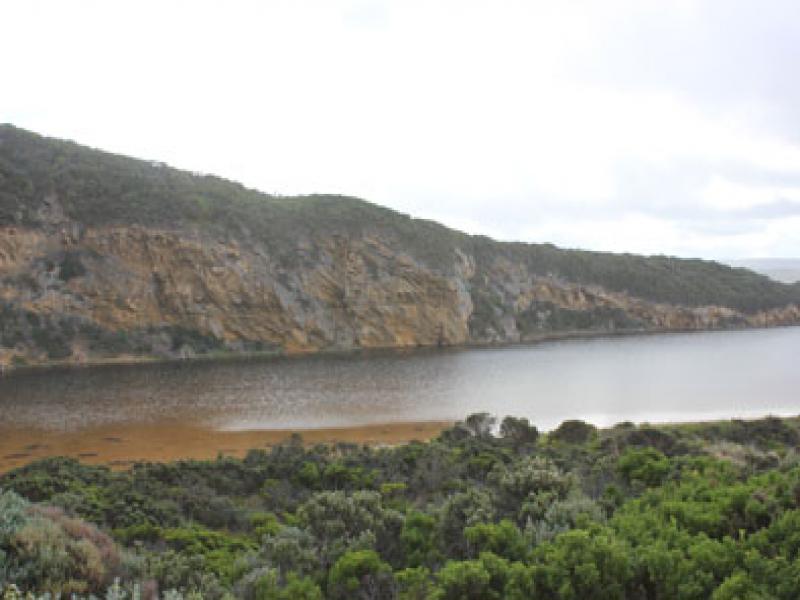
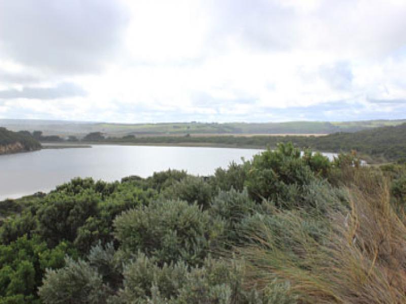
- Flats flooded from Princetown to G4. Also further upstream on south side only. Some water in all drains from recent run off
- Berm length 34.2m.

We acknowledge and respect Victorian Traditional Owners as the original custodians of Victoria’s land and waters, their unique ability to care for Country and deep spiritual connection to it.
We honour Elders past and present whose knowledge and wisdom has ensured the continuation of culture and traditional practices.
We honour Elders past and present whose knowledge and wisdom has ensured the continuation of culture and traditional practices.
 All content, files, data and images provided by the EstuaryWatch Data Portal subject to a Creative Commons Attribution License
Data portal by CeRDI
All content, files, data and images provided by the EstuaryWatch Data Portal subject to a Creative Commons Attribution License
Data portal by CeRDI