GMC Gellibrand River Estuary Mouth Observation Site
29 March 2016
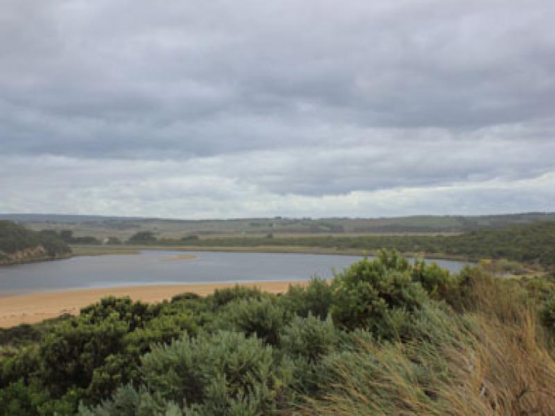
Observation details
Overview
| Estuary | Gellibrand River Estuary |
|---|---|
| Site | Gellibrand River Estuary Mouth Observation Site |
| Observation ID | #10230 |
| Date and Time | Tuesday 29th March 2016 10:15am |
| Approved | Approved |
Notes
- Narrow shallow flow along channel, between rocks & out over high sand build up. Channel very shallow from start (close to tunnel)
- Sheer 0.40m. side to channel close to rocks
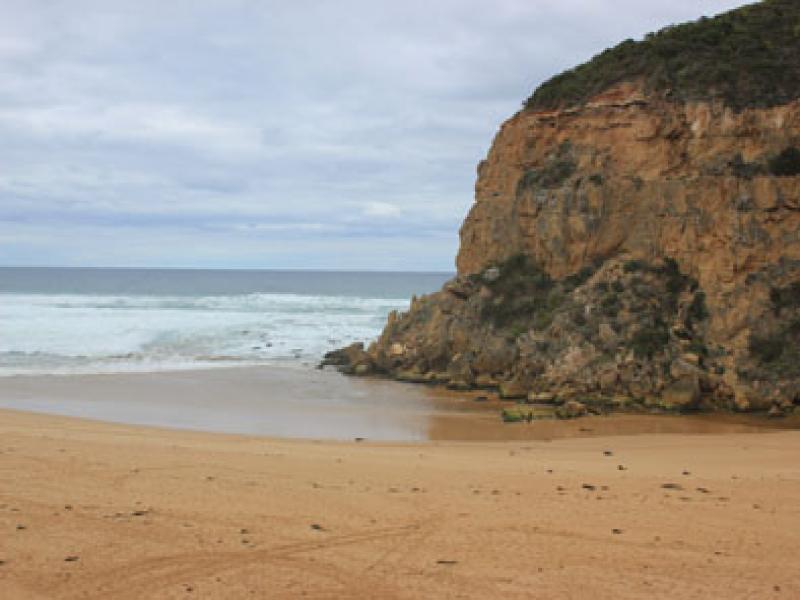
- Previous high area of beach front east of outflow has been greatly reduced by waves from rough seas
- Waves have been high up to sand dunes on beach and around into estuary. Seaweed clumps all along beach and estuary extending along low track to near car park
- Sea rough, sand visible in breakers out from mouth.
- Strong longshore drift crossing over outflow & meeting SW swell resulting in waves in all directions in front of rocks
- Dark swash line along beach intensifying at east end.
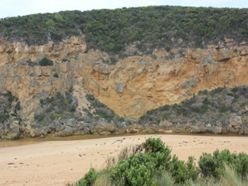
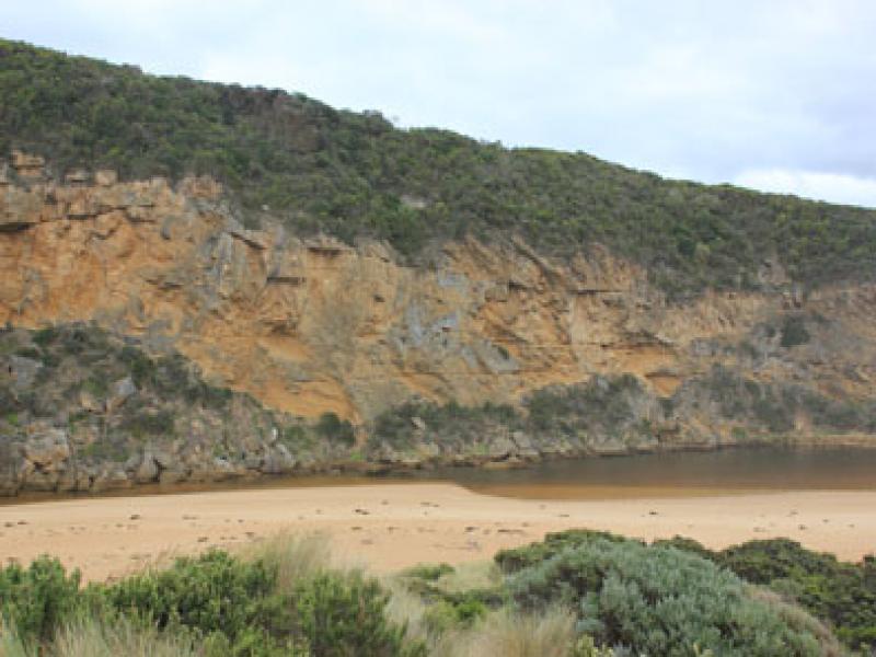
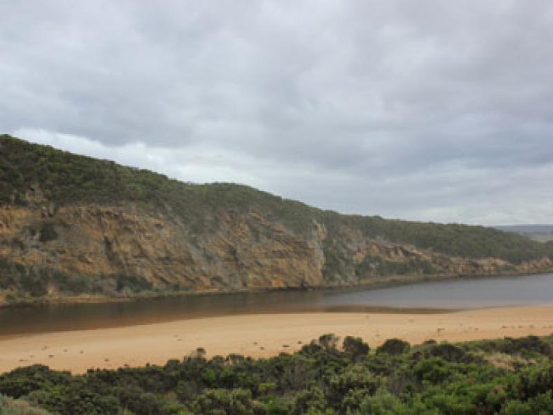
- Low tide, possible to walk around to 2nd. beach(east) where large areas of cliff erosion & areas of deeply scoured sand have occurred. 2 Hooded Plovers in this area feeding along swash line
- 16 Silver gulls, 6 Terns on Princetown beach also 2 Pelicans on sand bar in estuary
We acknowledge and respect Victorian Traditional Owners as the original custodians of Victoria’s land and waters, their unique ability to care for Country and deep spiritual connection to it.
We honour Elders past and present whose knowledge and wisdom has ensured the continuation of culture and traditional practices.
We honour Elders past and present whose knowledge and wisdom has ensured the continuation of culture and traditional practices.
 All content, files, data and images provided by the EstuaryWatch Data Portal subject to a Creative Commons Attribution License
Data portal by CeRDI
All content, files, data and images provided by the EstuaryWatch Data Portal subject to a Creative Commons Attribution License
Data portal by CeRDI