GMC Gellibrand River Estuary Mouth Observation Site
19 March 2016
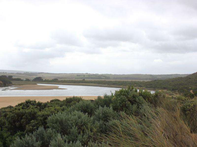
Observation details
Overview
| Estuary | Gellibrand River Estuary |
|---|---|
| Site | Gellibrand River Estuary Mouth Observation Site |
| Observation ID | #10222 |
| Date and Time | Saturday 19th March 2016 12:46pm |
| Approved | Approved |
Notes
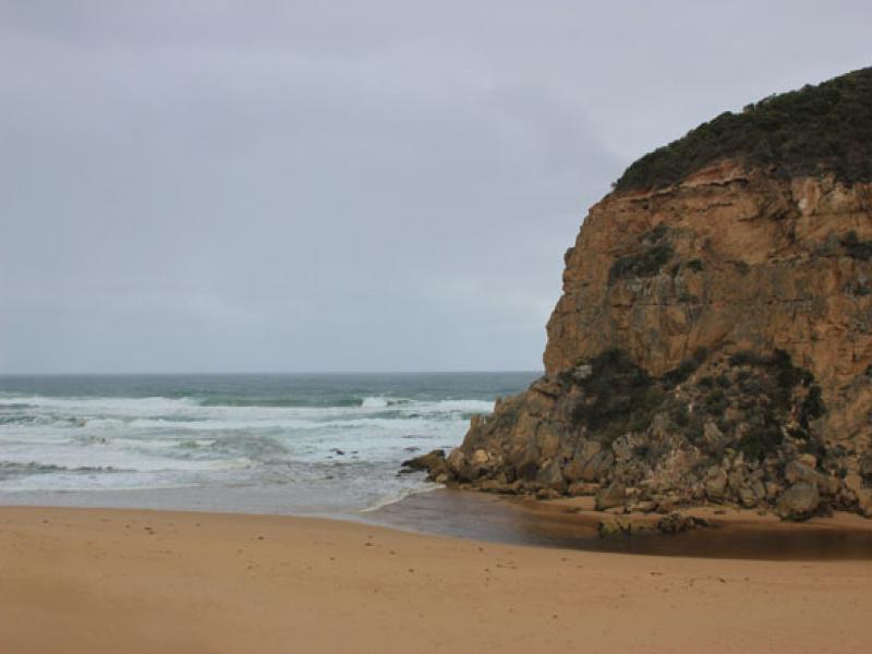
- large amount of sand filling in the entrance from rough seas and strong wind.
- longshore drift travelling west across outflow being met by strong south west swell.
- some waves entering channel.
- pale discharge around mouth, practically obscured by waves.
- large amount of sand in breakers out to sea.
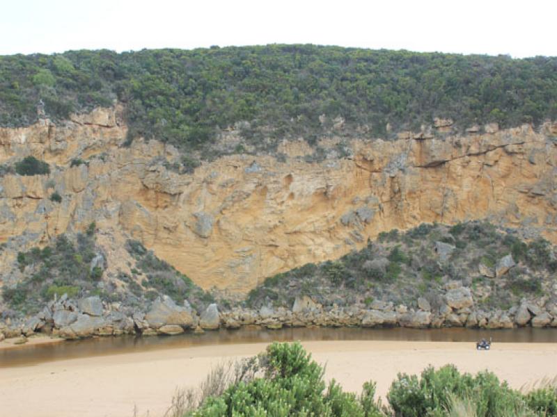
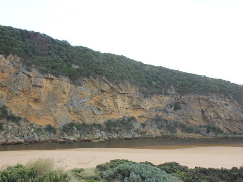
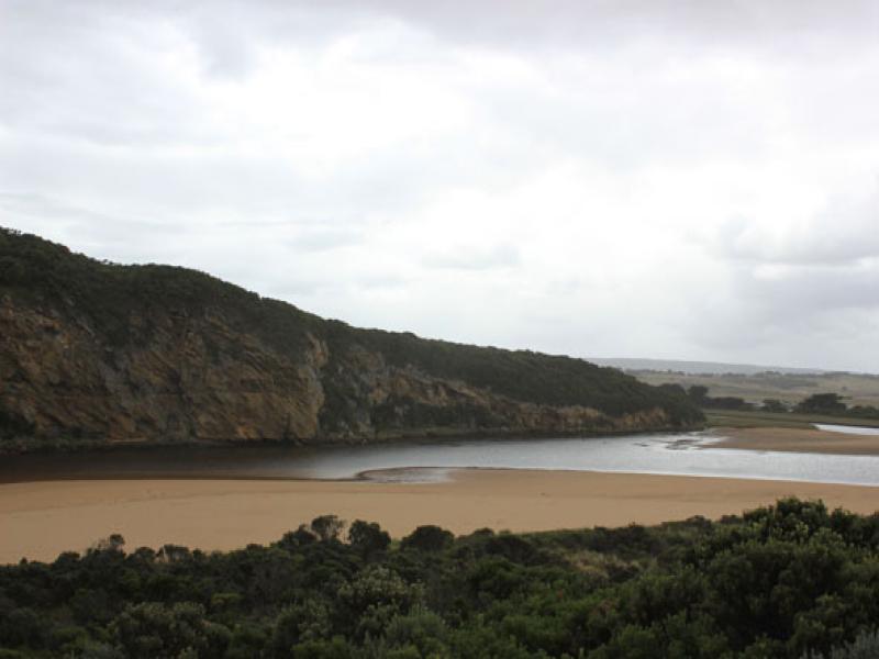
- beach sand cliff (small) at centre, rocks at east end exposed.
- sand bar and low track well exposed.
- some areas of exposed seagrass bleaching.
- brown algae scum on sand area on low track.
- iridescent algae left in water depression areas.
- large number of cabbage butterflies on sea kale at start of the low track.
- man small fish on the S/E section of estuary.
We acknowledge and respect Victorian Traditional Owners as the original custodians of Victoria’s land and waters, their unique ability to care for Country and deep spiritual connection to it.
We honour Elders past and present whose knowledge and wisdom has ensured the continuation of culture and traditional practices.
We honour Elders past and present whose knowledge and wisdom has ensured the continuation of culture and traditional practices.
 All content, files, data and images provided by the EstuaryWatch Data Portal subject to a Creative Commons Attribution License
Data portal by CeRDI
All content, files, data and images provided by the EstuaryWatch Data Portal subject to a Creative Commons Attribution License
Data portal by CeRDI