GMC Gellibrand River Estuary Mouth Observation Site
14 March 2016
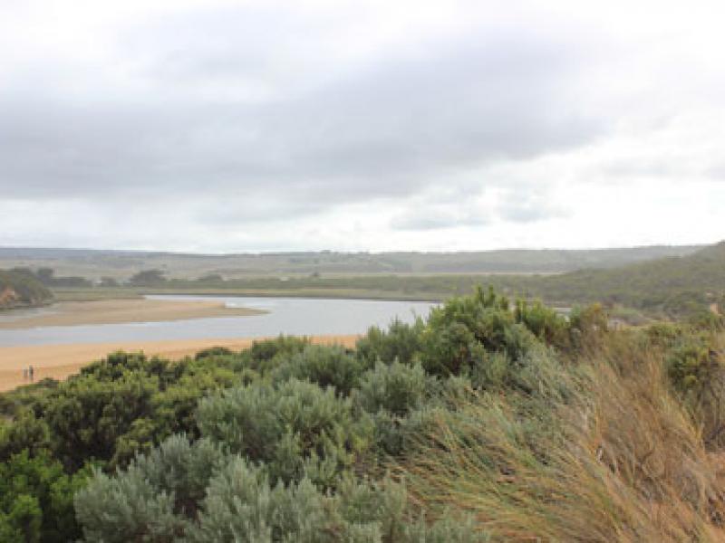
Observation details
Overview
| Estuary | Gellibrand River Estuary |
|---|---|
| Site | Gellibrand River Estuary Mouth Observation Site |
| Observation ID | #10217 |
| Date and Time | Monday 14th March 2016 08:30am |
| Approved | Approved |
Notes
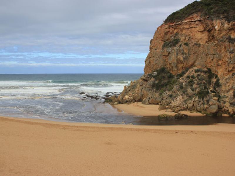
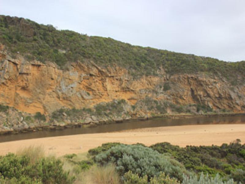
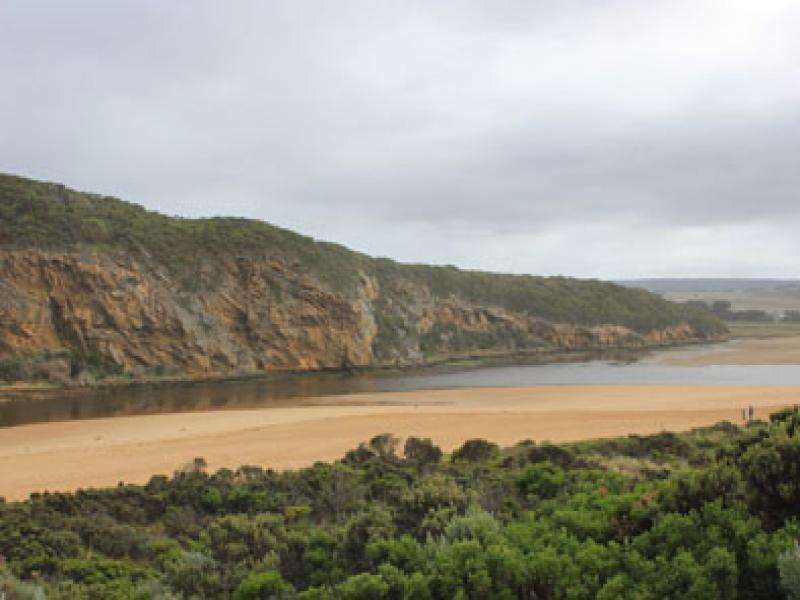
- Steep sides of channel near mouth reduced in height (not ones near ocean)
- Sea rough, waves s/w swell with rip east of mouth meeting strong out flow all of which is being crossed by longshore drift ¿waves in all directions with some entering & traveling up channel.
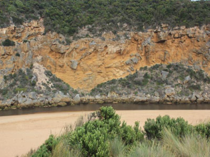
- Sand bar well exposed with green algae on edges , especially on west side
- Seagrass well exposed along east side has recovered from exposure to drying out & new growth evident.
- Unfortunately many shrimp etc. and small fish have been stranded in this area.
- Further south near an isolated patch of Phragmities there is an extremely large fish kill of small fish- mainly Estuary Perch, flat head etc.
- Also at fishing area on river bank south of camp ground & around auto monitoring station many small shrimp are stranded.
We acknowledge and respect Victorian Traditional Owners as the original custodians of Victoria’s land and waters, their unique ability to care for Country and deep spiritual connection to it.
We honour Elders past and present whose knowledge and wisdom has ensured the continuation of culture and traditional practices.
We honour Elders past and present whose knowledge and wisdom has ensured the continuation of culture and traditional practices.
 All content, files, data and images provided by the EstuaryWatch Data Portal subject to a Creative Commons Attribution License
Data portal by CeRDI
All content, files, data and images provided by the EstuaryWatch Data Portal subject to a Creative Commons Attribution License
Data portal by CeRDI