GMC Gellibrand River Estuary Mouth Observation Site
26 February 2016
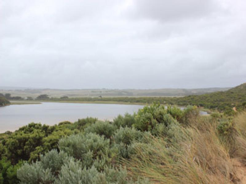
Observation details
Overview
| Estuary | Gellibrand River Estuary |
|---|---|
| Site | Gellibrand River Estuary Mouth Observation Site |
| Observation ID | #10171 |
| Date and Time | Friday 26th February 2016 11:55am |
| Approved | Approved |
Notes
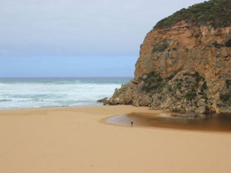
- Mouth barred but intermittent waves over into estuary from very rough seas- but no return
- waves traveling high up gradual steep rise along foreshore
- Wide sand projection about mid beach
- Very large amount of sand visible in breakers on submerged sandbar about 50m. out to sea from mouth
- Amount of water over berm increases slightly with action of occasional longshore drift
- Dead Mullet 14cm. at edge of shallow water near berm- some broken blood vessels around gills & anus
- Hundreds of very small fish in shallow water along low track-
- Top track only damp on one side & no water over any roads (slight amount at edge of road near flood markers on OOR)
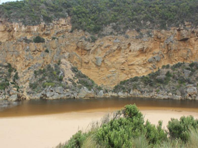
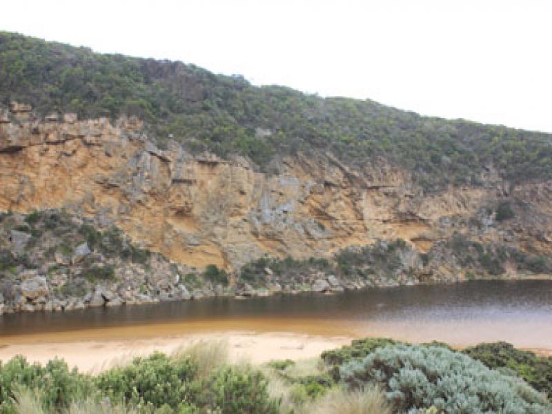
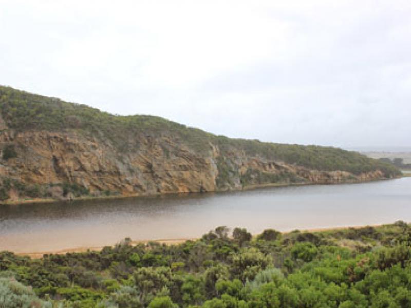
- Flats flooded from Princetown to around G4. Some water cover on south flats u/s G4
- berm length 21 metres.
We acknowledge and respect Victorian Traditional Owners as the original custodians of Victoria’s land and waters, their unique ability to care for Country and deep spiritual connection to it.
We honour Elders past and present whose knowledge and wisdom has ensured the continuation of culture and traditional practices.
We honour Elders past and present whose knowledge and wisdom has ensured the continuation of culture and traditional practices.
 All content, files, data and images provided by the EstuaryWatch Data Portal subject to a Creative Commons Attribution License
Data portal by CeRDI
All content, files, data and images provided by the EstuaryWatch Data Portal subject to a Creative Commons Attribution License
Data portal by CeRDI