GMC Gellibrand River Estuary Mouth Observation Site
12 February 2016
Observation details
Overview
| Estuary | Gellibrand River Estuary |
|---|---|
| Site | Gellibrand River Estuary Mouth Observation Site |
| Observation ID | #10143 |
| Date and Time | Friday 12th February 2016 10:20am |
| Approved | Approved |
Notes
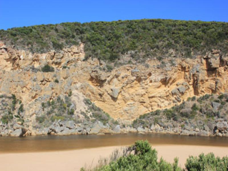
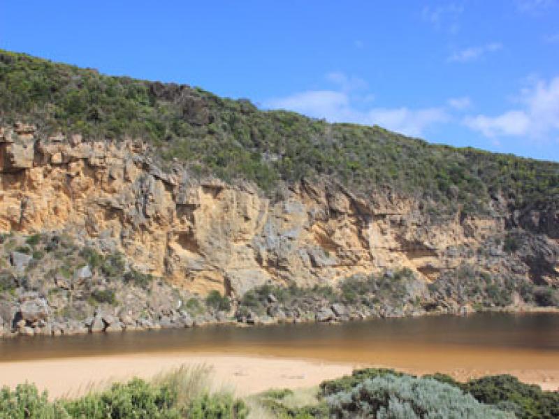
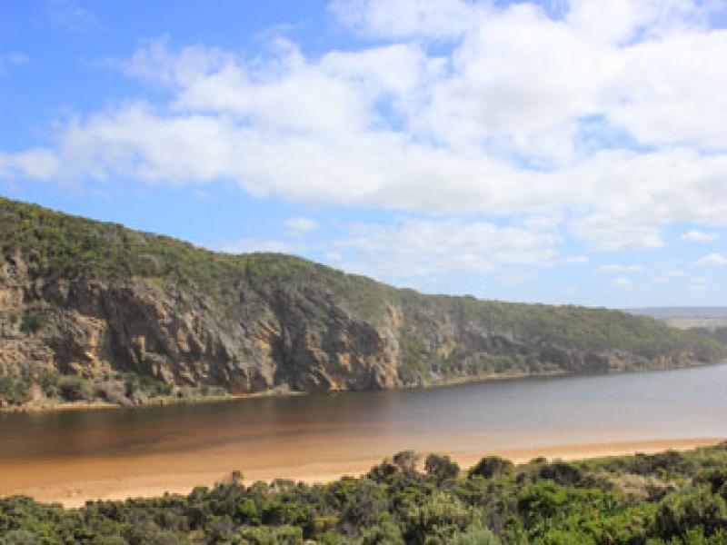
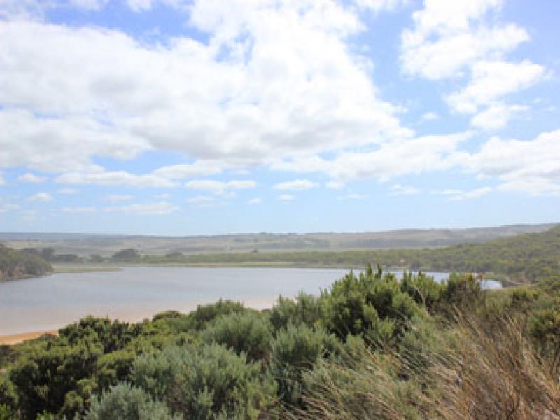
- Narrow berm , estuary has very slightly advanced toward sea
- Estuary along channel narrow & shallow
- Berm much lower near cliff, rising higher along the beach front
- Beach slightly undulating, height of sand spit reduced (waves over) but sand can be seen under water extending out to sea & moving closer toward west cliff
- Some part of rocks are above water at start of the estuary
- Dense amounts of sand visible in breakers out from mouth & near exposed reef at east end of beach
- Water over all of low track but nowhere else
- Reduced number of small fish swimming in shallow water near low track
- berm length 24 metres.

We acknowledge and respect Victorian Traditional Owners as the original custodians of Victoria’s land and waters, their unique ability to care for Country and deep spiritual connection to it.
We honour Elders past and present whose knowledge and wisdom has ensured the continuation of culture and traditional practices.
We honour Elders past and present whose knowledge and wisdom has ensured the continuation of culture and traditional practices.
 All content, files, data and images provided by the EstuaryWatch Data Portal subject to a Creative Commons Attribution License
Data portal by CeRDI
All content, files, data and images provided by the EstuaryWatch Data Portal subject to a Creative Commons Attribution License
Data portal by CeRDI