GMC Gellibrand River Estuary Mouth Observation Site
27 December 2015
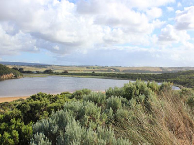
Observation details
Overview
| Estuary | Gellibrand River Estuary |
|---|---|
| Site | Gellibrand River Estuary Mouth Observation Site |
| Observation ID | #10034 |
| Date and Time | Sunday 27th December 2015 07:55am |
| Approved | Approved |
Notes
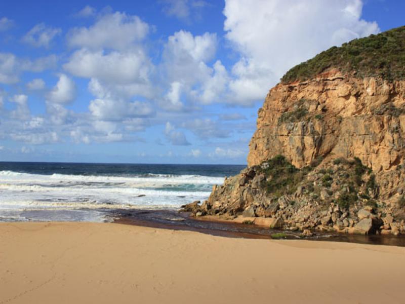
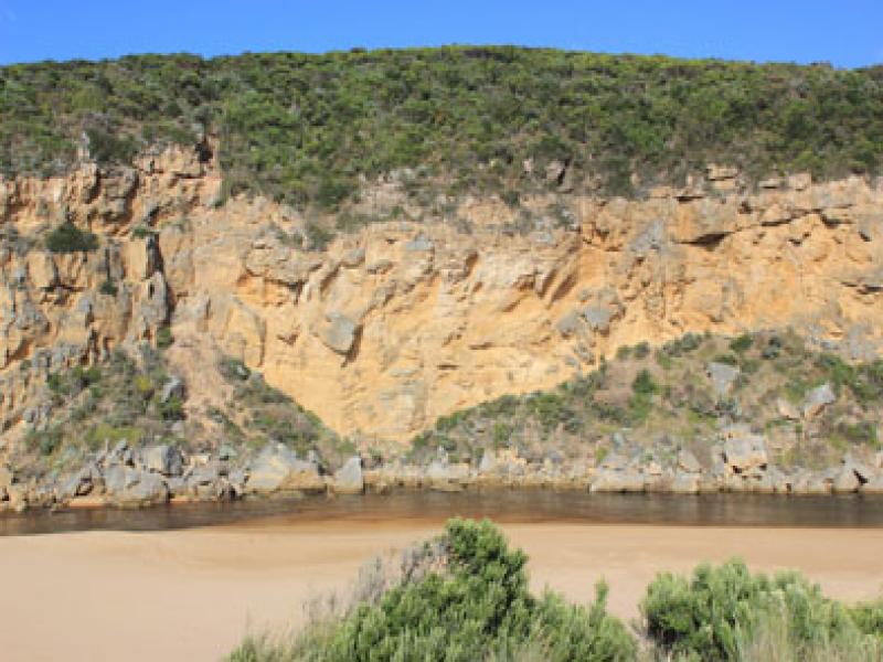
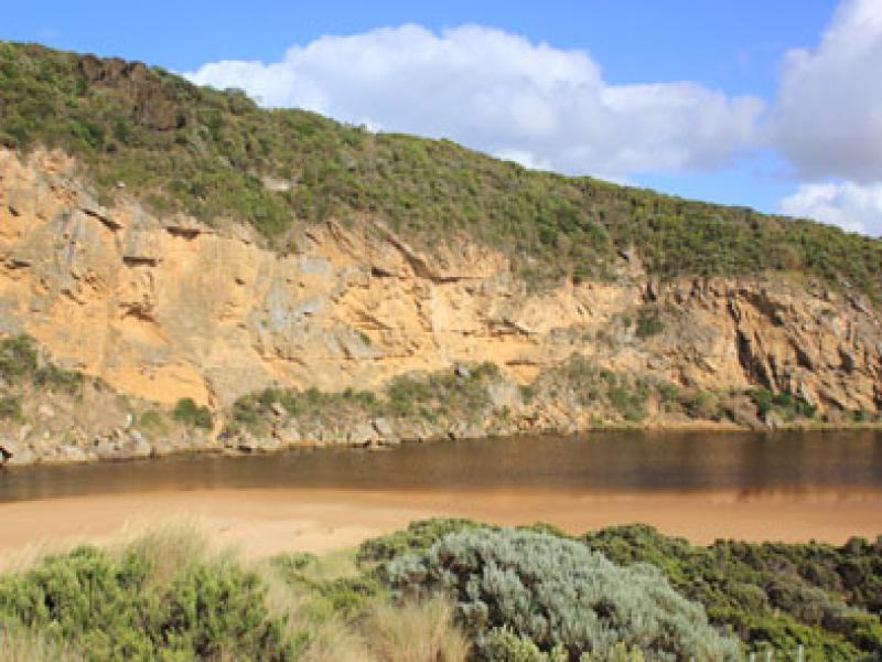
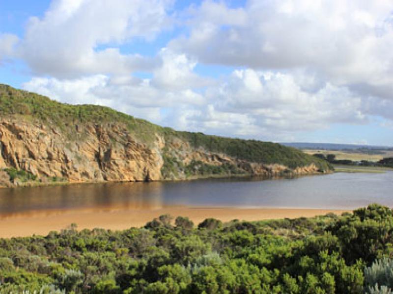
- Strong dark outflow around mouth, to SW, S & east along foreshore
- Flow has cut sheer side to channel at mouth (1-2m) which is collapsing into flow
- Both rocks well exposed but main volume of water is on east side over cascade, sand build up immediately d/s rocks
- Strong longshore drift across mouth crossing out flow & turning into channel & up into estuary
- Waves in all directions at mouth
- Waves have been high up on beach & over remaining part of berm (dark swash line)
- Beach has gradual steep slope-highest near mouth
- No water in campground. Dip in causeway G4 is clear of water
We acknowledge and respect Victorian Traditional Owners as the original custodians of Victoria’s land and waters, their unique ability to care for Country and deep spiritual connection to it.
We honour Elders past and present whose knowledge and wisdom has ensured the continuation of culture and traditional practices.
We honour Elders past and present whose knowledge and wisdom has ensured the continuation of culture and traditional practices.
 All content, files, data and images provided by the EstuaryWatch Data Portal subject to a Creative Commons Attribution License
Data portal by CeRDI
All content, files, data and images provided by the EstuaryWatch Data Portal subject to a Creative Commons Attribution License
Data portal by CeRDI