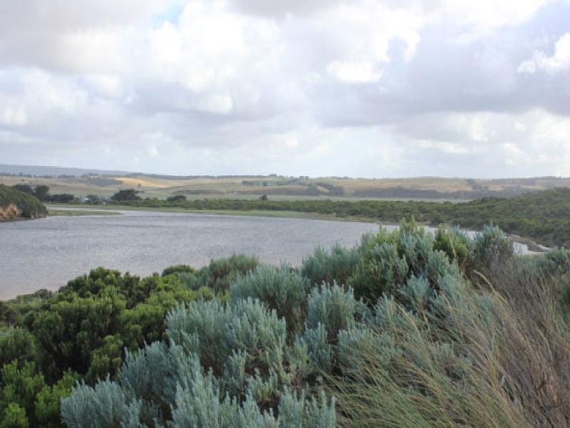
GMC Gellibrand River Estuary Mouth Observation Site
26 December 2015
Observation details
Overview
| Estuary | Gellibrand River Estuary |
|---|---|
| Site | Gellibrand River Estuary Mouth Observation Site |
| Observation ID | #10032 |
| Date and Time | Saturday 26th December 2015 07:50am |
| Approved | Approved |
Notes
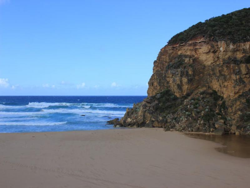
- Waves have been over unopened berm at last hi tide (indicated by swash line & debris)
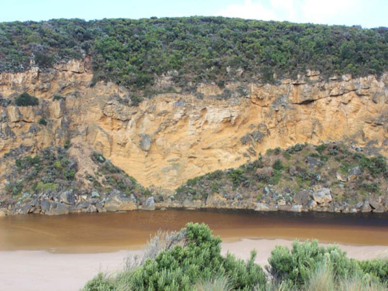
- Small rocks continue to fall from cliff
- Top of one of the rocks still visible
- Mouth artificially opened 10:05
- 10:55 channel 2-3m wide , west edge .40m high
- Waves entering opening, travelling upstream about 30m
- 11:00 Increase in out flow but affected by longshore drift across mouth
- Very strong south wind gusts
- 38ml rain at G6 overnight
- water only at side of OOR, no water on OCR, water in camp ground & more along top track
- Gannet travelling west along shore line
We acknowledge and respect Victorian Traditional Owners as the original custodians of Victoria’s land and waters, their unique ability to care for Country and deep spiritual connection to it.
We honour Elders past and present whose knowledge and wisdom has ensured the continuation of culture and traditional practices.
We honour Elders past and present whose knowledge and wisdom has ensured the continuation of culture and traditional practices.
 All content, files, data and images provided by the EstuaryWatch Data Portal subject to a Creative Commons Attribution License
Data portal by CeRDI
All content, files, data and images provided by the EstuaryWatch Data Portal subject to a Creative Commons Attribution License
Data portal by CeRDI