GMC Gellibrand River Estuary Mouth Observation Site
24 December 2015
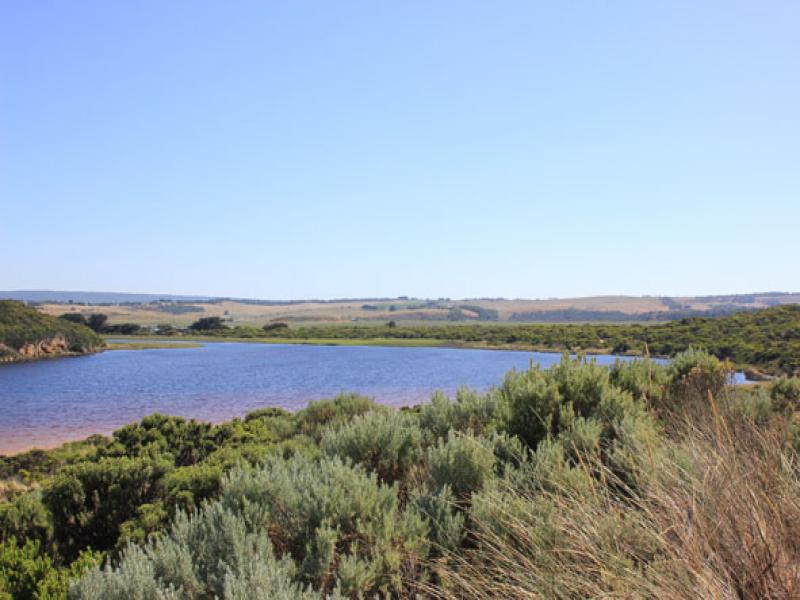
Observation details
Overview
| Estuary | Gellibrand River Estuary |
|---|---|
| Site | Gellibrand River Estuary Mouth Observation Site |
| Observation ID | #10031 |
| Date and Time | Thursday 24th December 2015 09:25am |
| Approved | Approved |
Notes
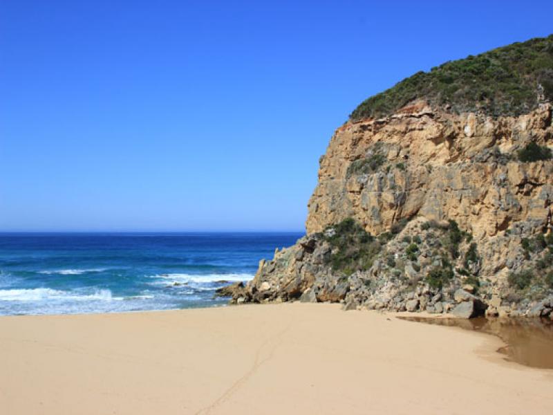
- mouth barred
- Length of berm reduced to 33.6m . Steep front to ocean
- Beach curved -projection near mid beach reduced
- Slight longshore drift across to cliff
- Sand stir in water close to shore and extending out to sea about 50m (between beach & sand bar)
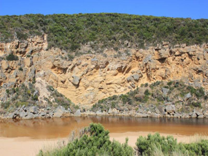
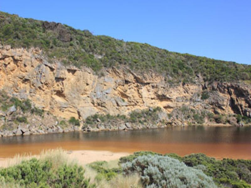
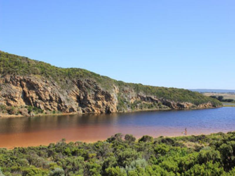
- Water over in small patches on top track but no water over OCR or in camp. ground
- Water to edge of OOR near flood markers
- D.O. levels in salt wedge very low
- 'Skeins' on surface of water.
We acknowledge and respect Victorian Traditional Owners as the original custodians of Victoria’s land and waters, their unique ability to care for Country and deep spiritual connection to it.
We honour Elders past and present whose knowledge and wisdom has ensured the continuation of culture and traditional practices.
We honour Elders past and present whose knowledge and wisdom has ensured the continuation of culture and traditional practices.
 All content, files, data and images provided by the EstuaryWatch Data Portal subject to a Creative Commons Attribution License
Data portal by CeRDI
All content, files, data and images provided by the EstuaryWatch Data Portal subject to a Creative Commons Attribution License
Data portal by CeRDI