AiMC Aire River Mouth Condition
Active Mouth Condition 24-02-2024 - 06-09-2025Aire River Estuary
| Date | Status | Details |
|---|---|---|
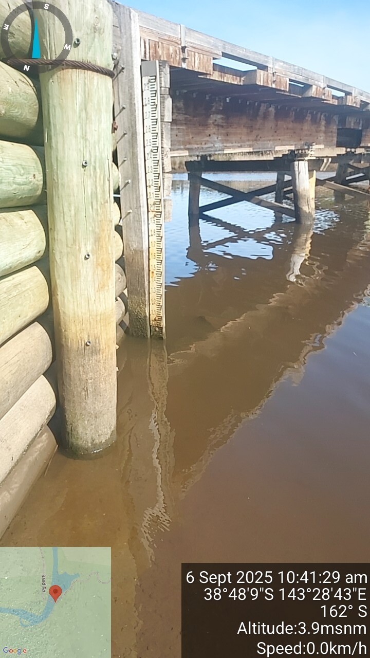
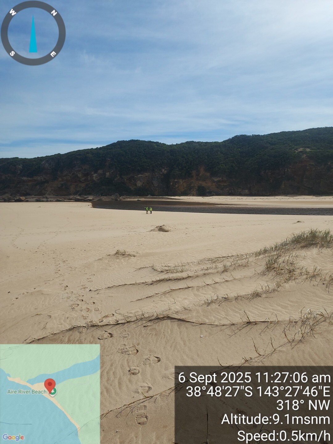
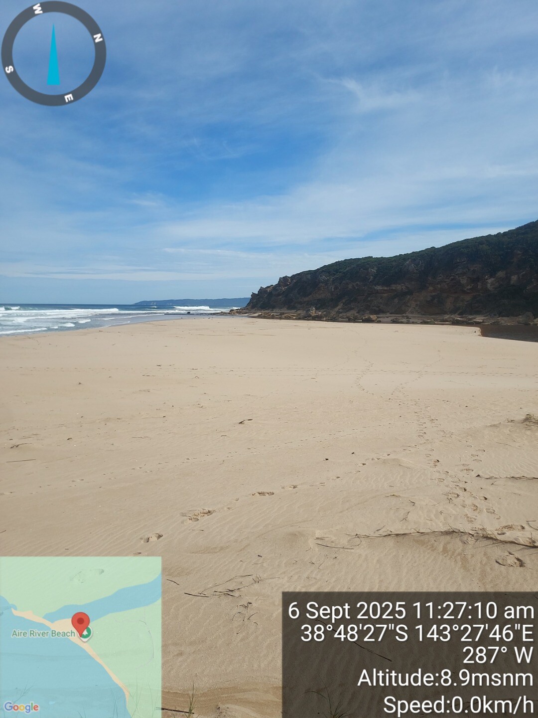
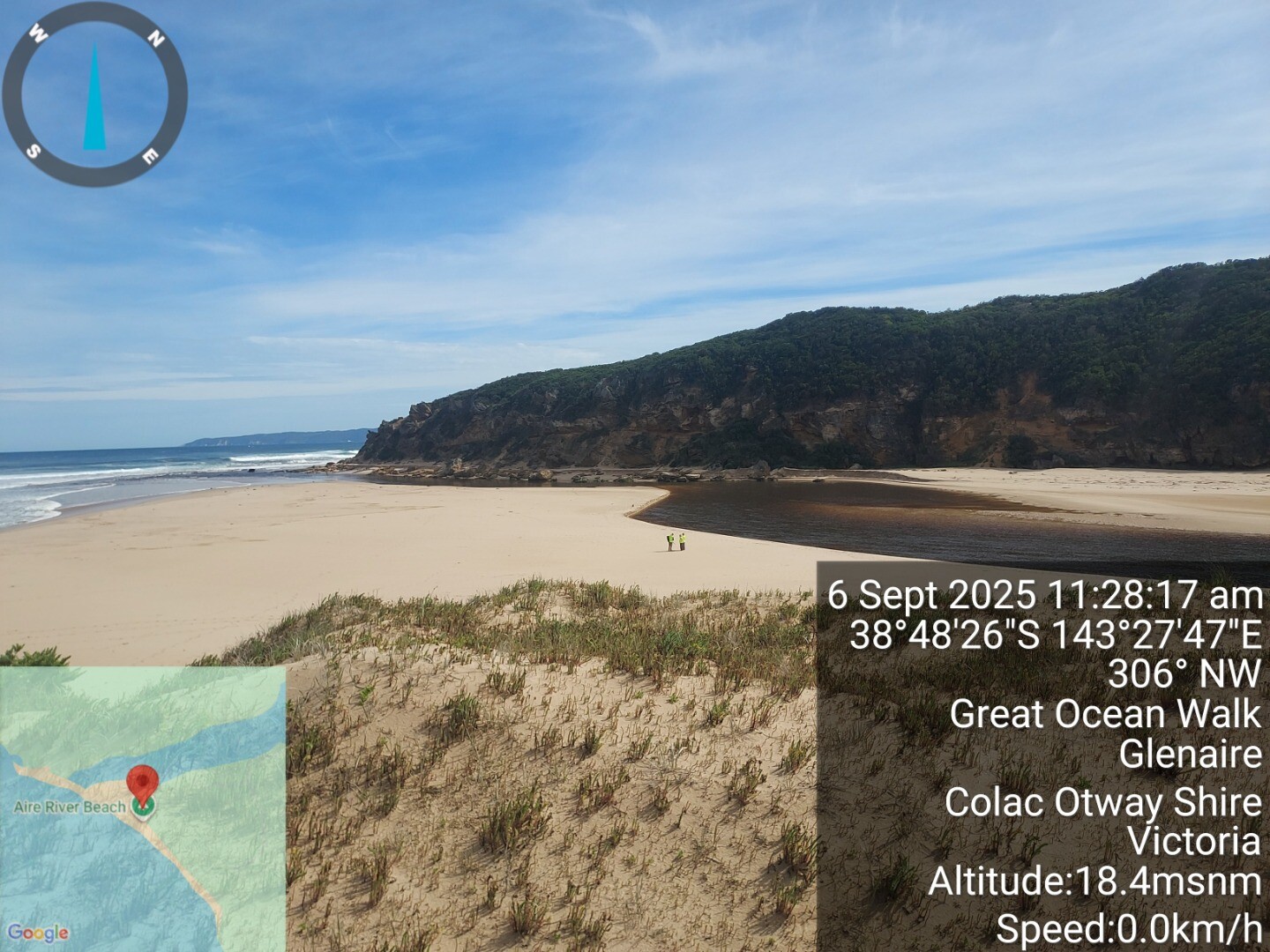
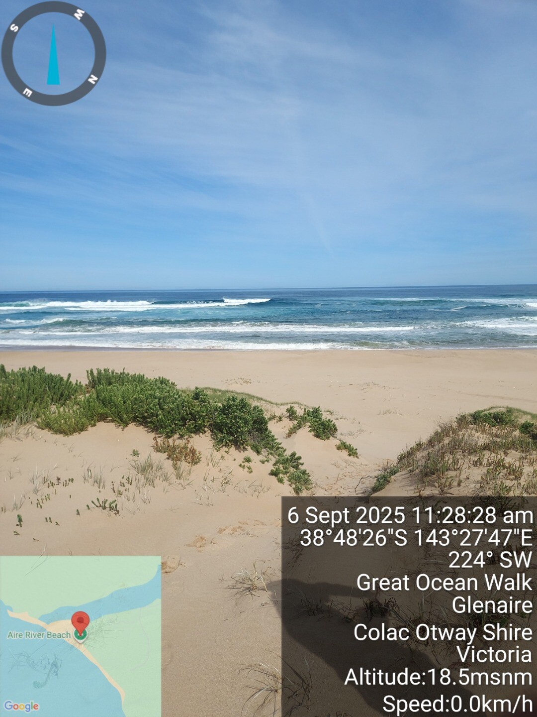
| 6 Sep 2025 | Approved |
Notes:
sea sea beyond shore breakers. near the east dune base berm height was approx 2.5m above river level. |
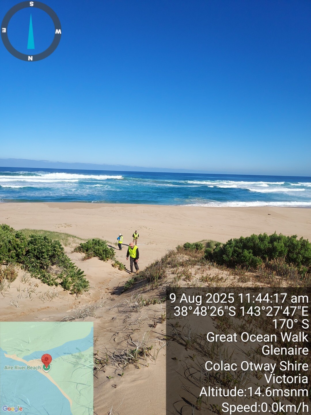
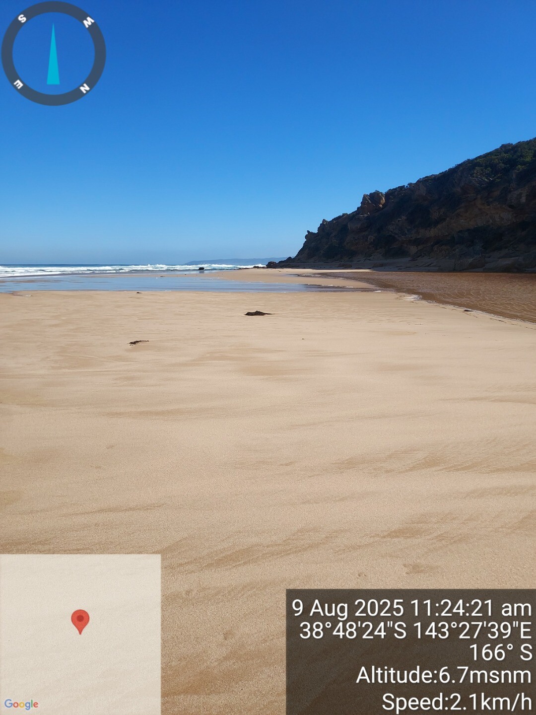
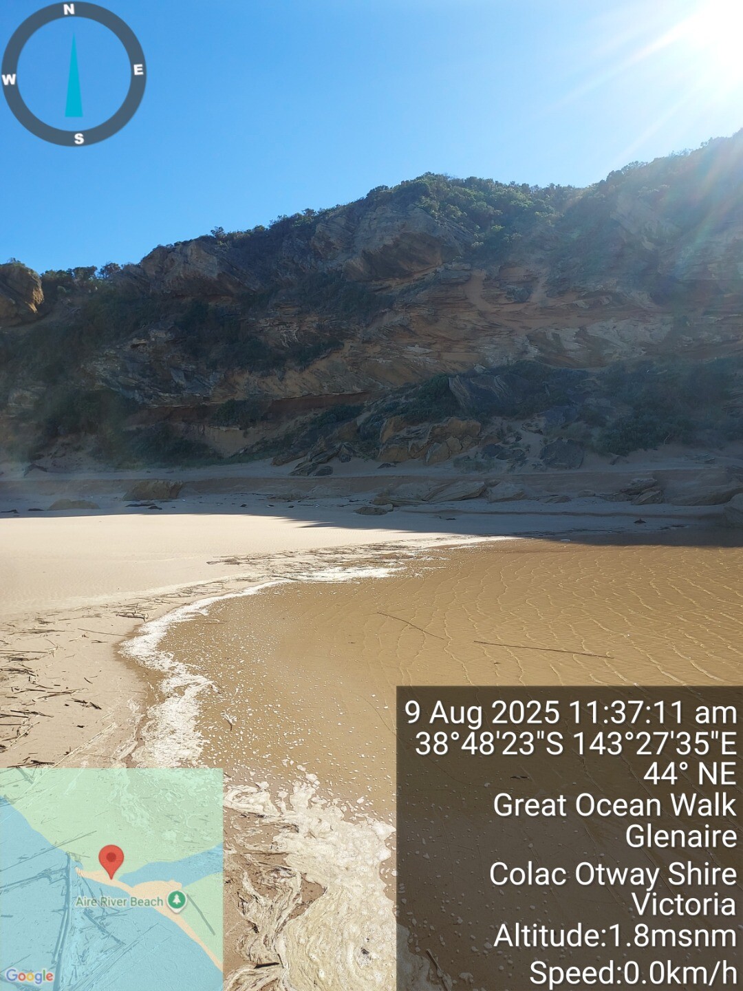
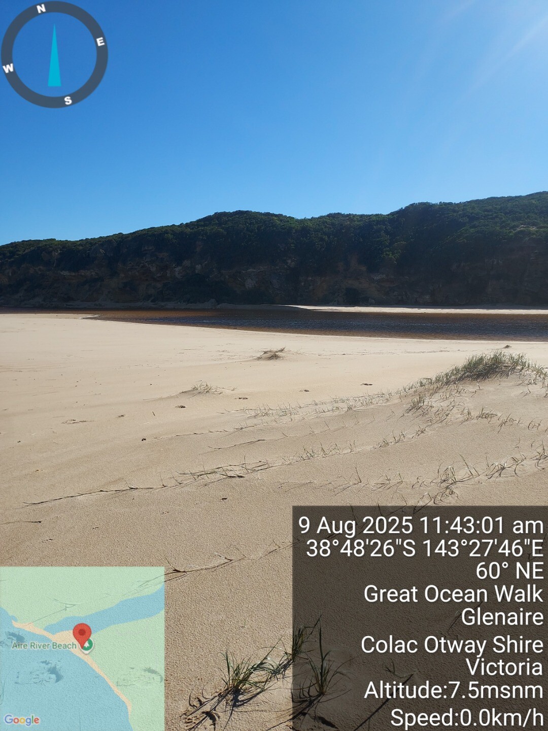
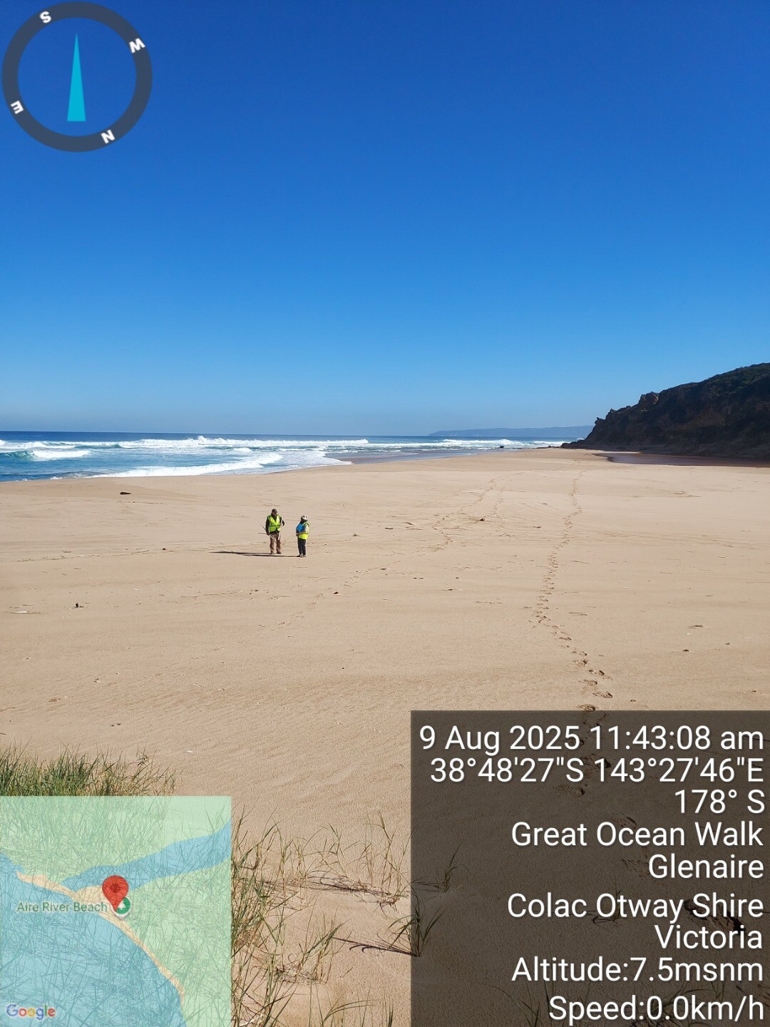
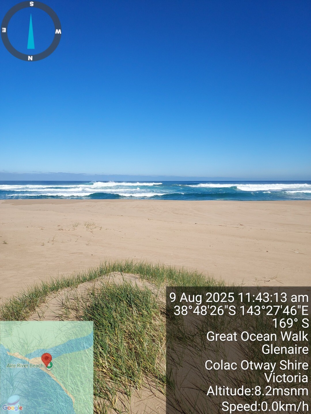
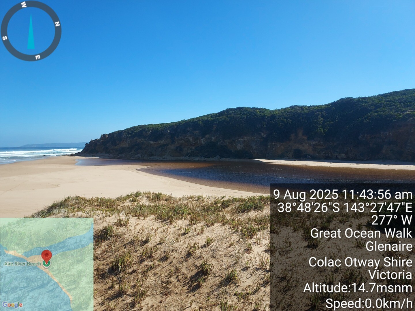
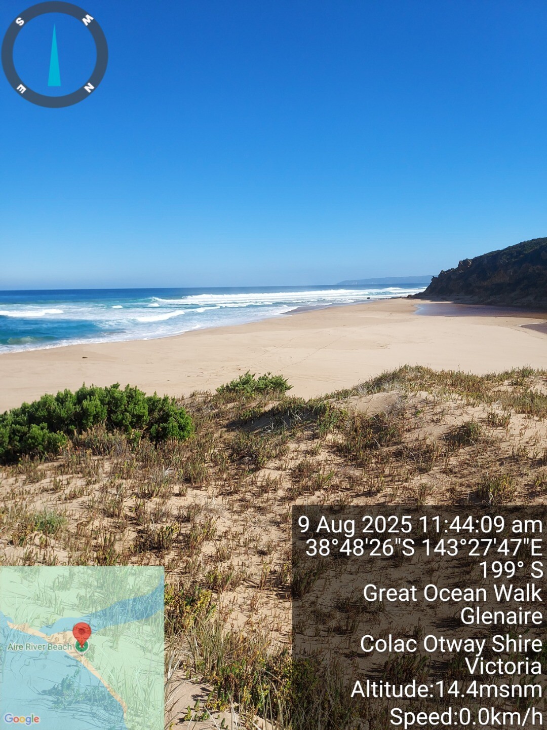
| 9 Aug 2025 | Approved |
Notes:
Bit of swell out to sea, observed boats dipping below horizon, usual breakers close inshore. River mouth broached at high tide during observations |
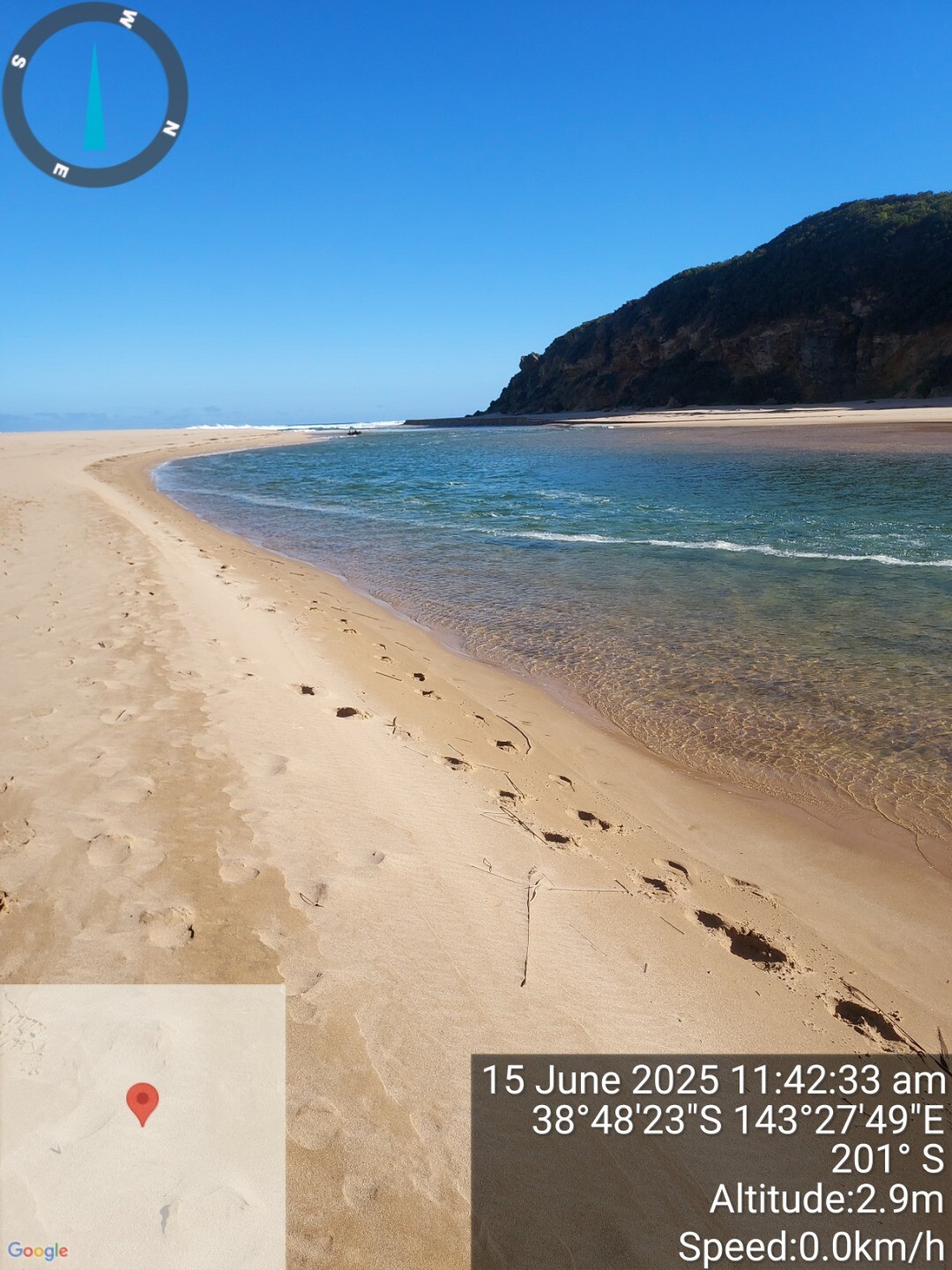
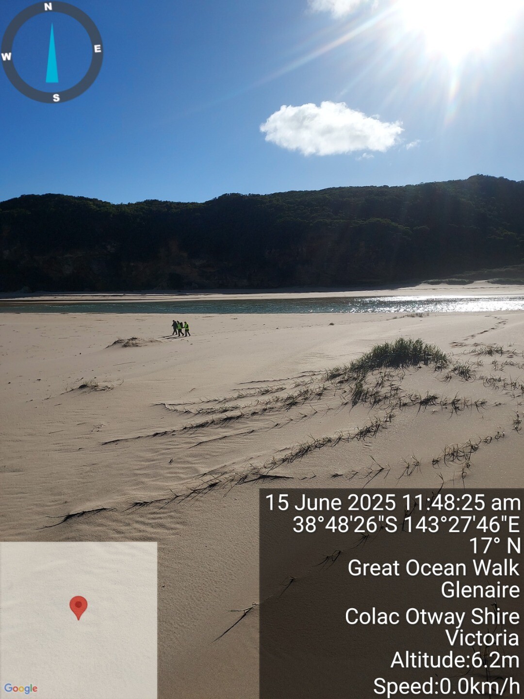
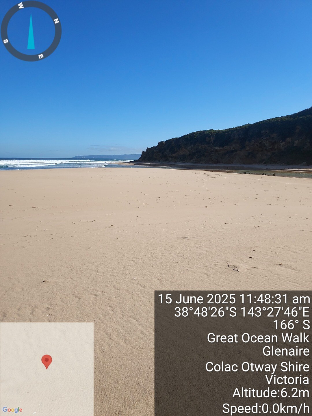
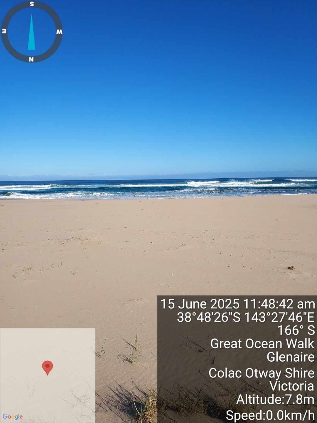
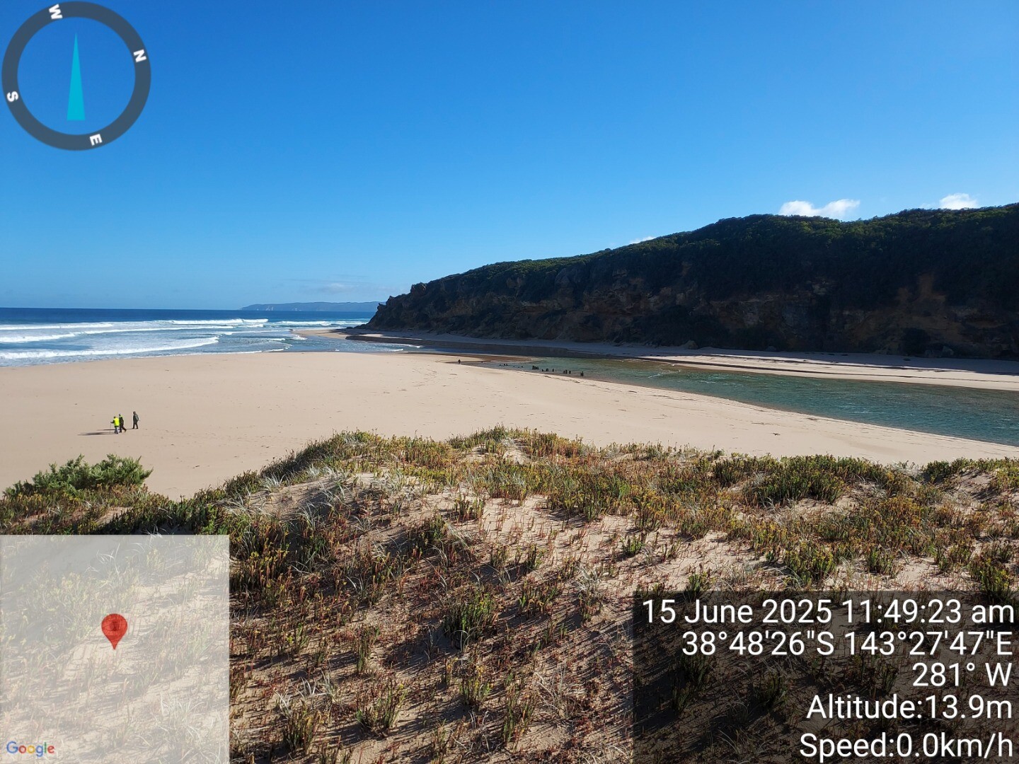
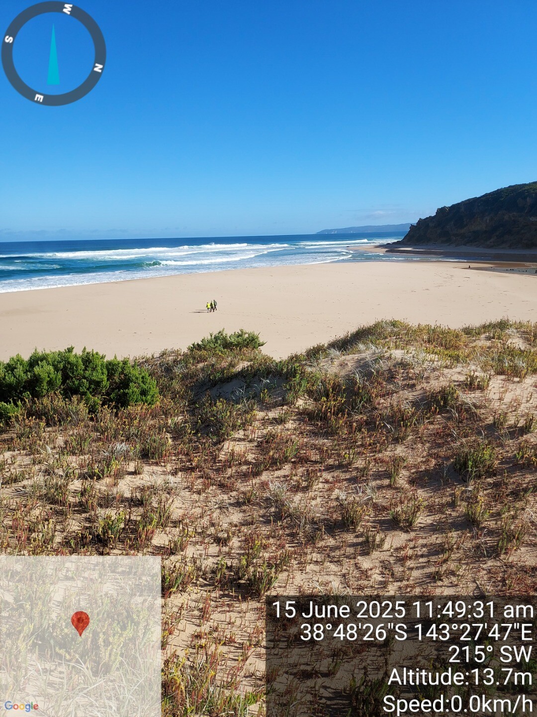
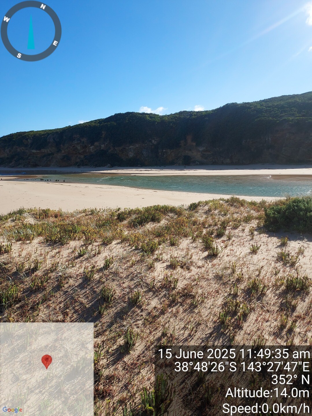
| 15 Jun 2025 | Approved |
Notes:
sea state is beyond breakers, regular brekers on shore due to outer sand bank |
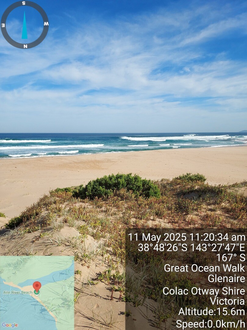
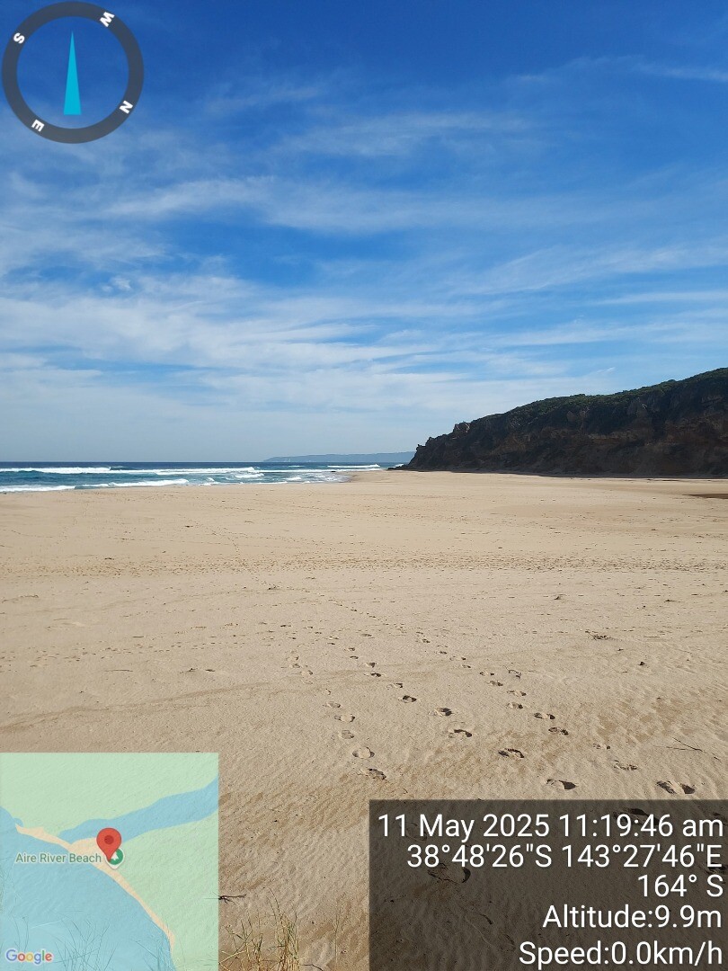
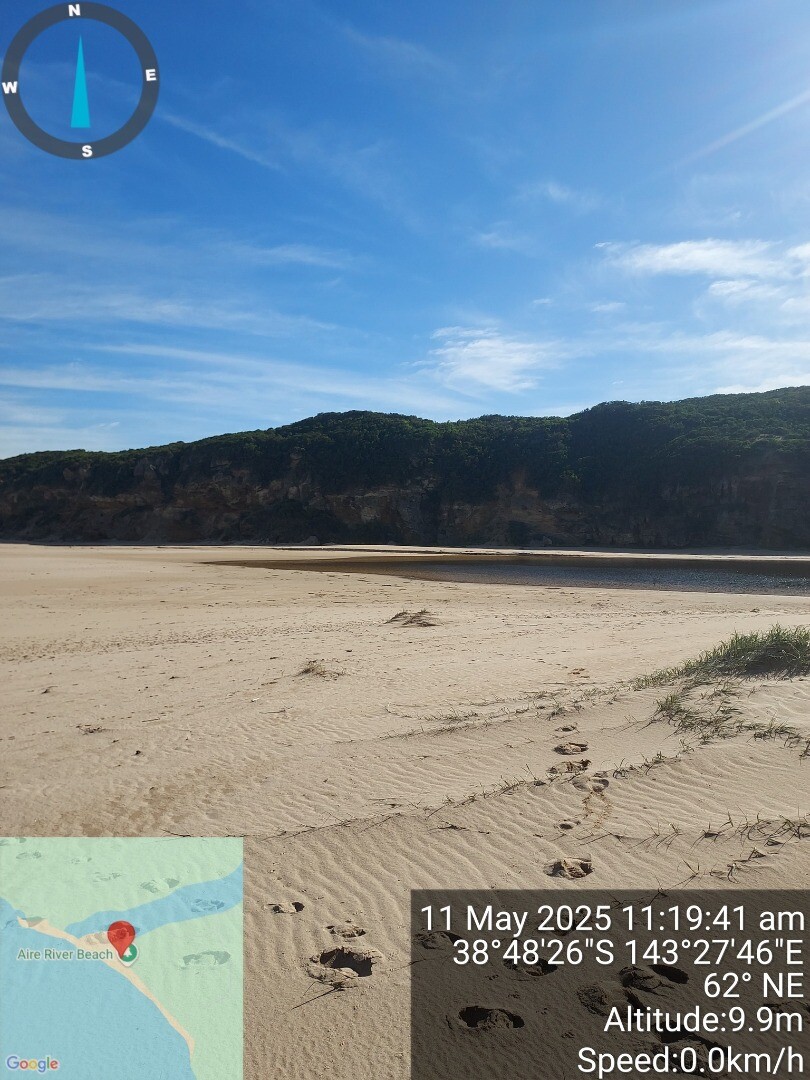
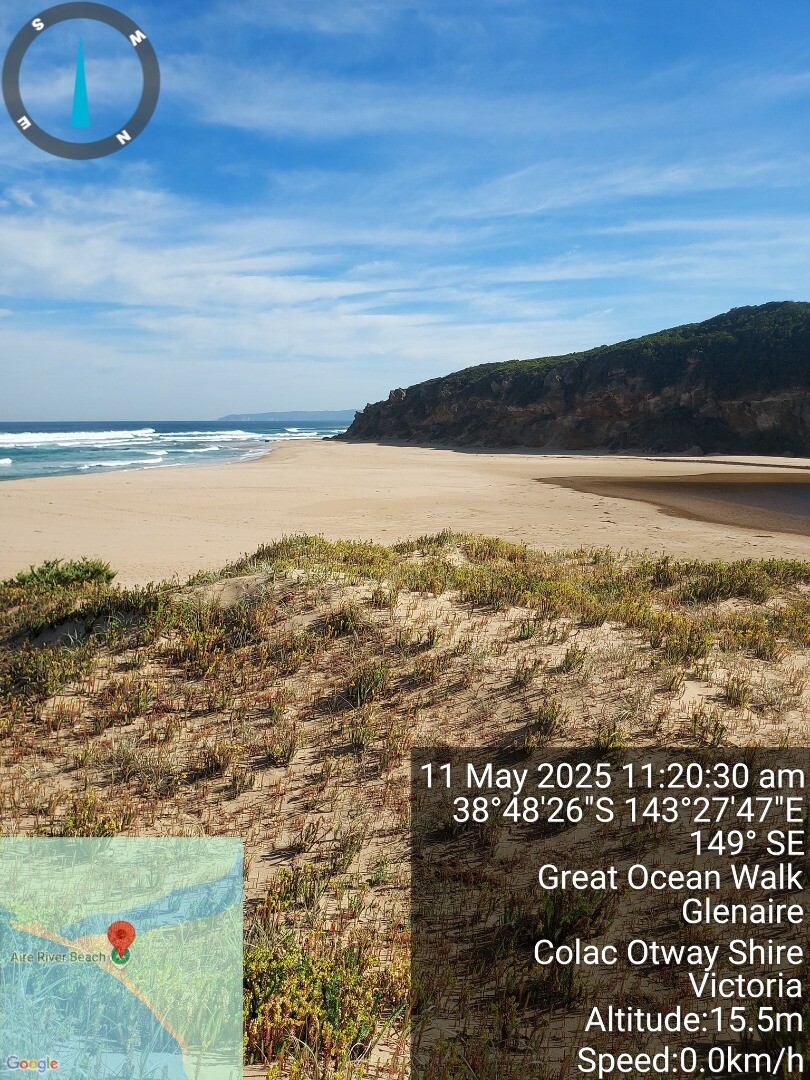
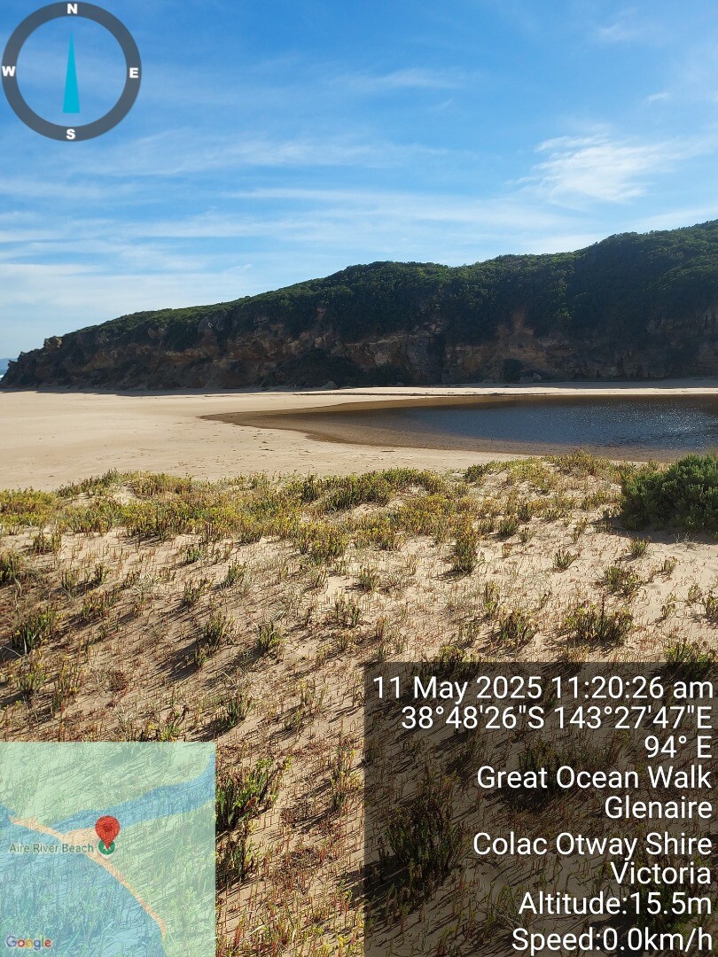
| 11 May 2025 | Approved |
Notes:
slight seas beyond breakers |
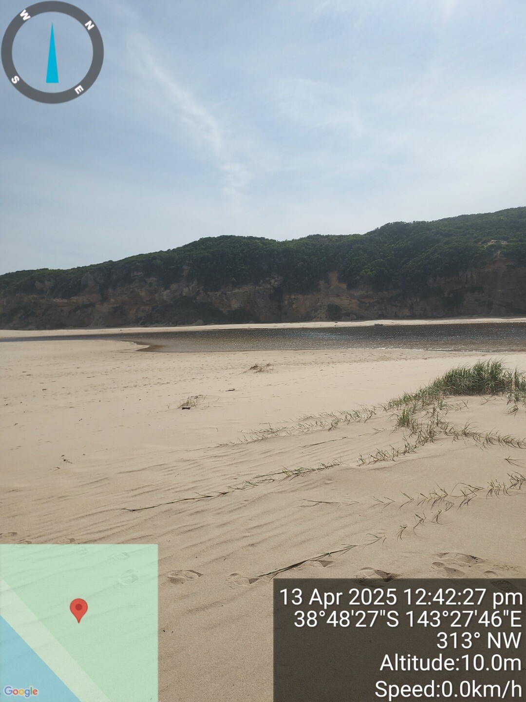
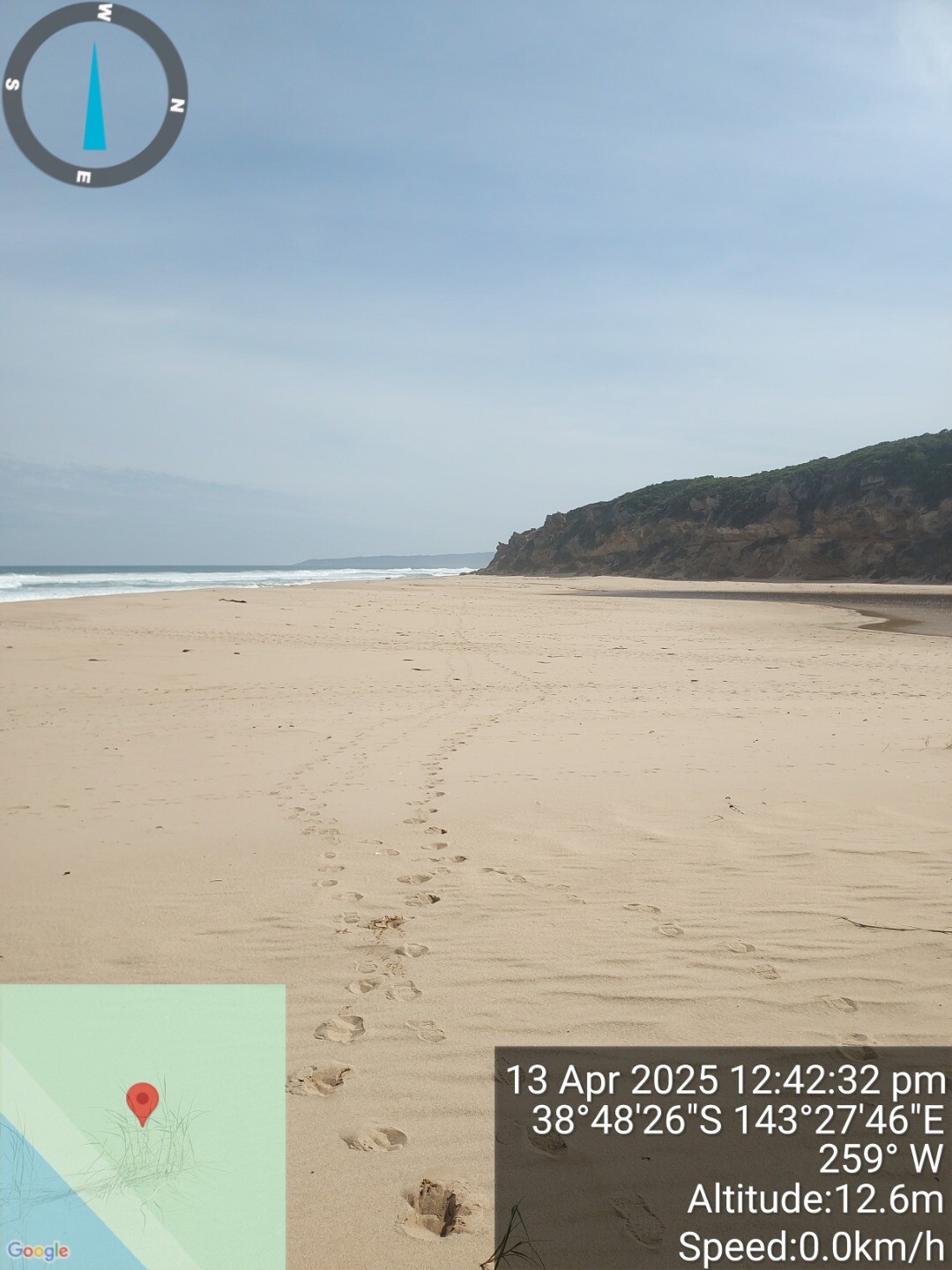
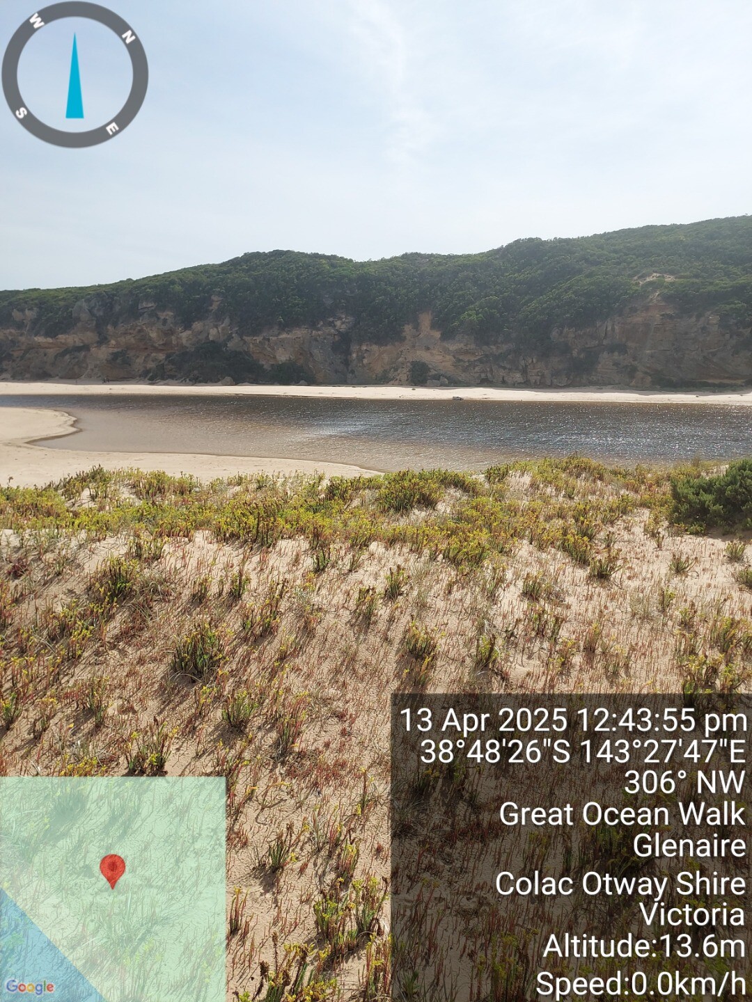
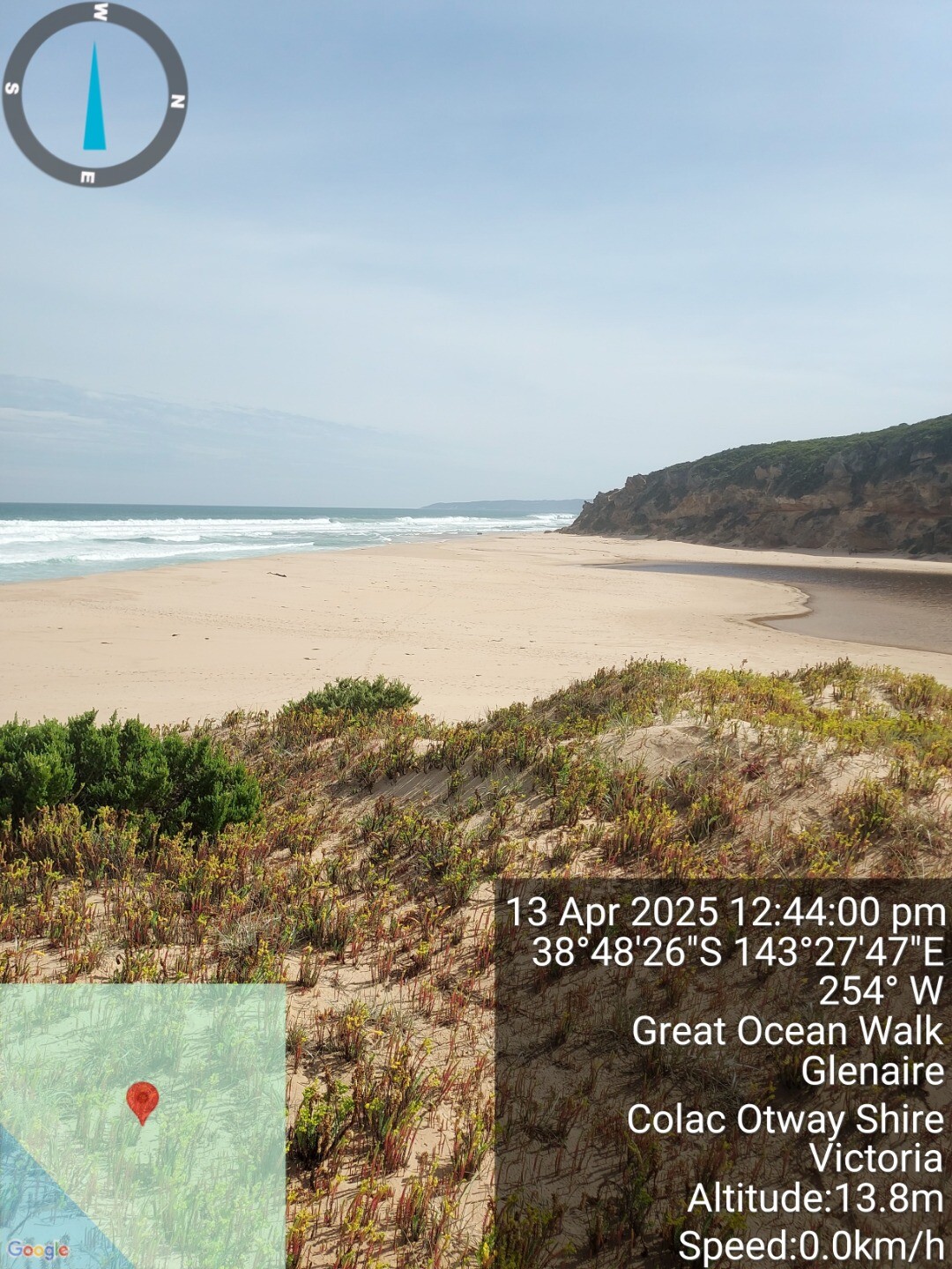
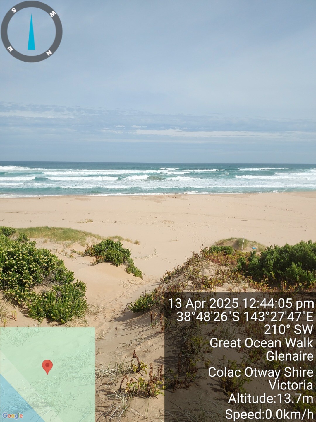
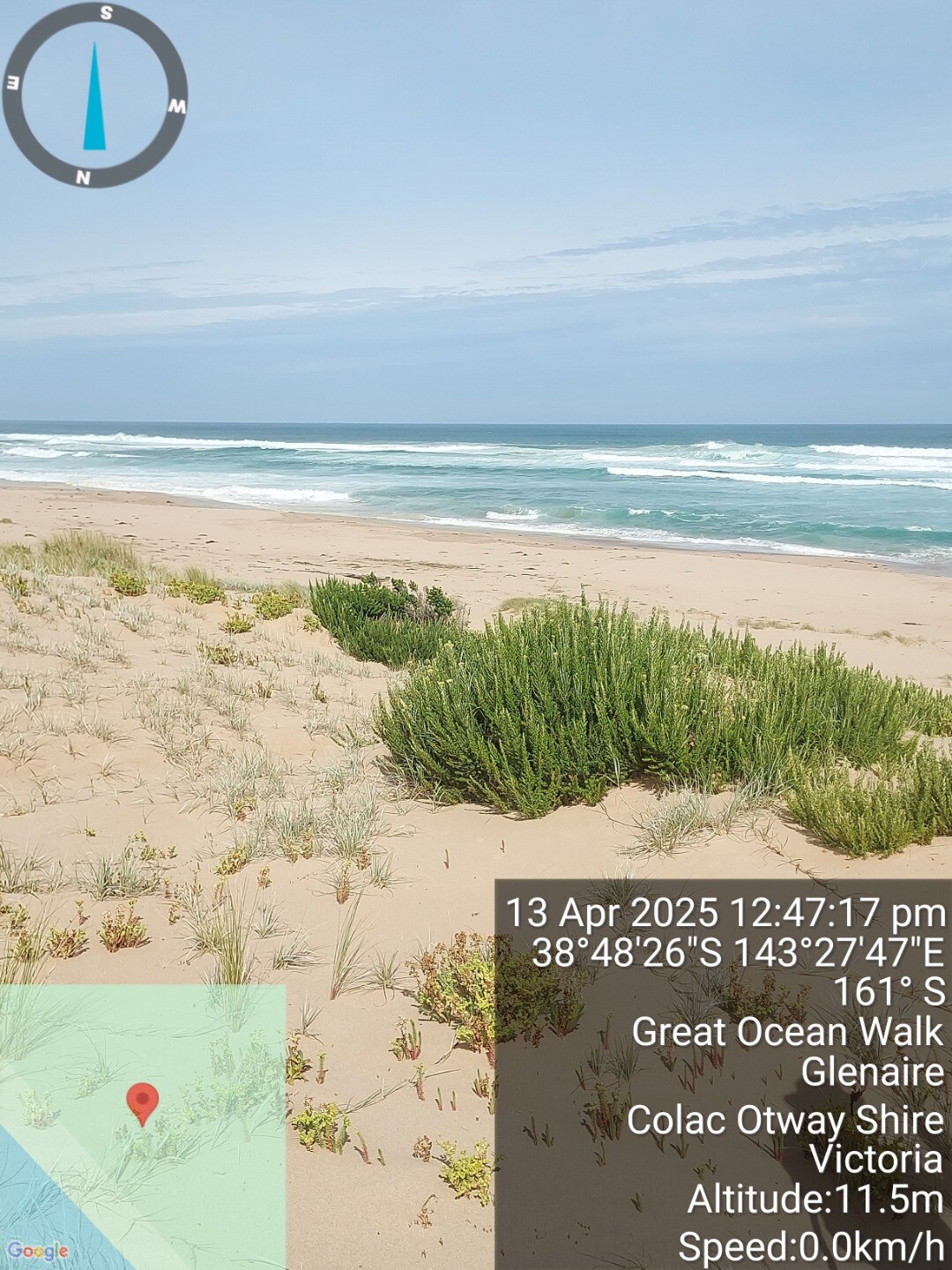
| 13 Apr 2025 | Approved |
Notes:
high tide breached berm in high sets of 3 waves. sea state beyond breakers on shore. |
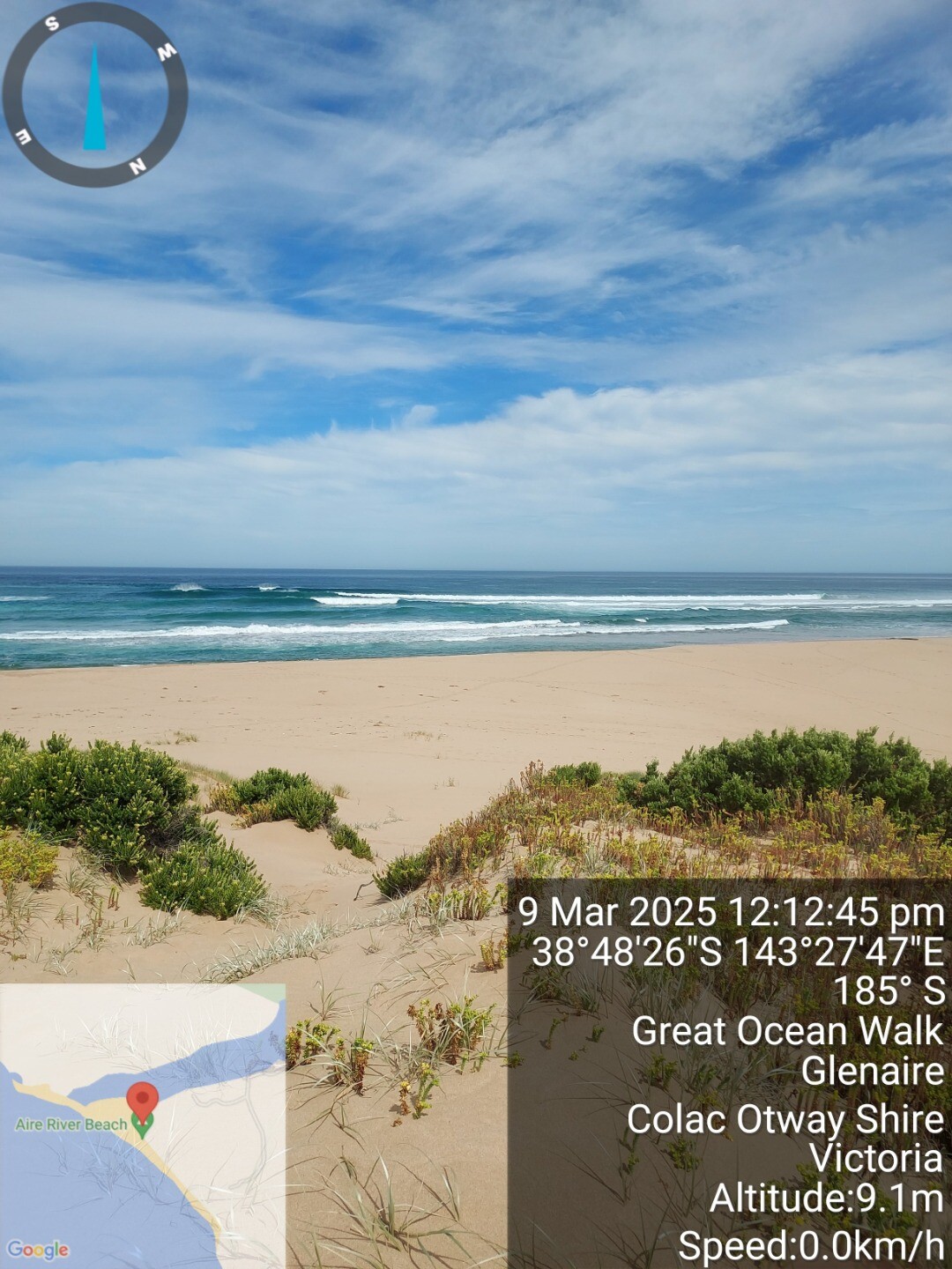
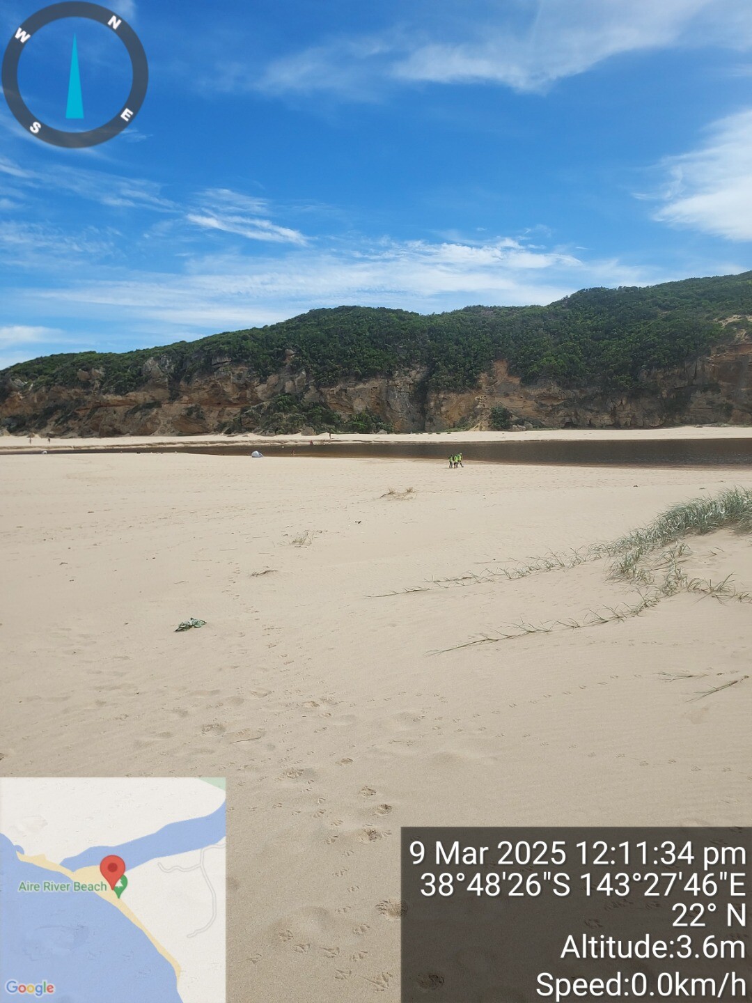
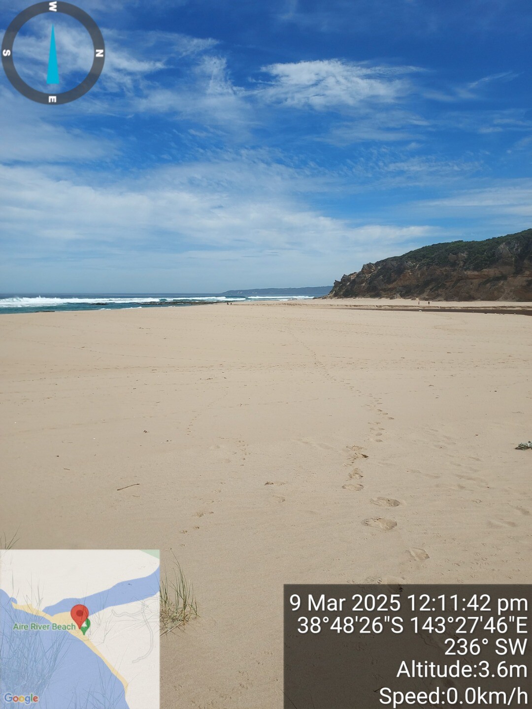
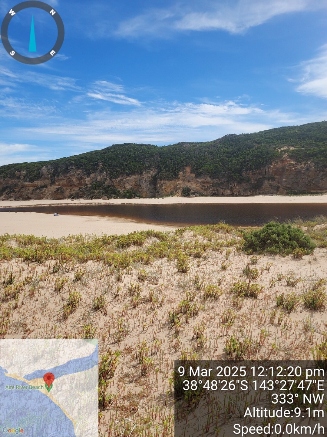
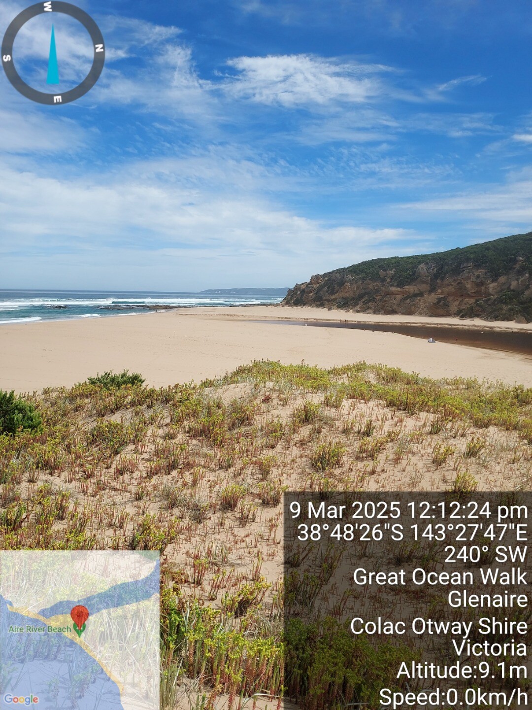
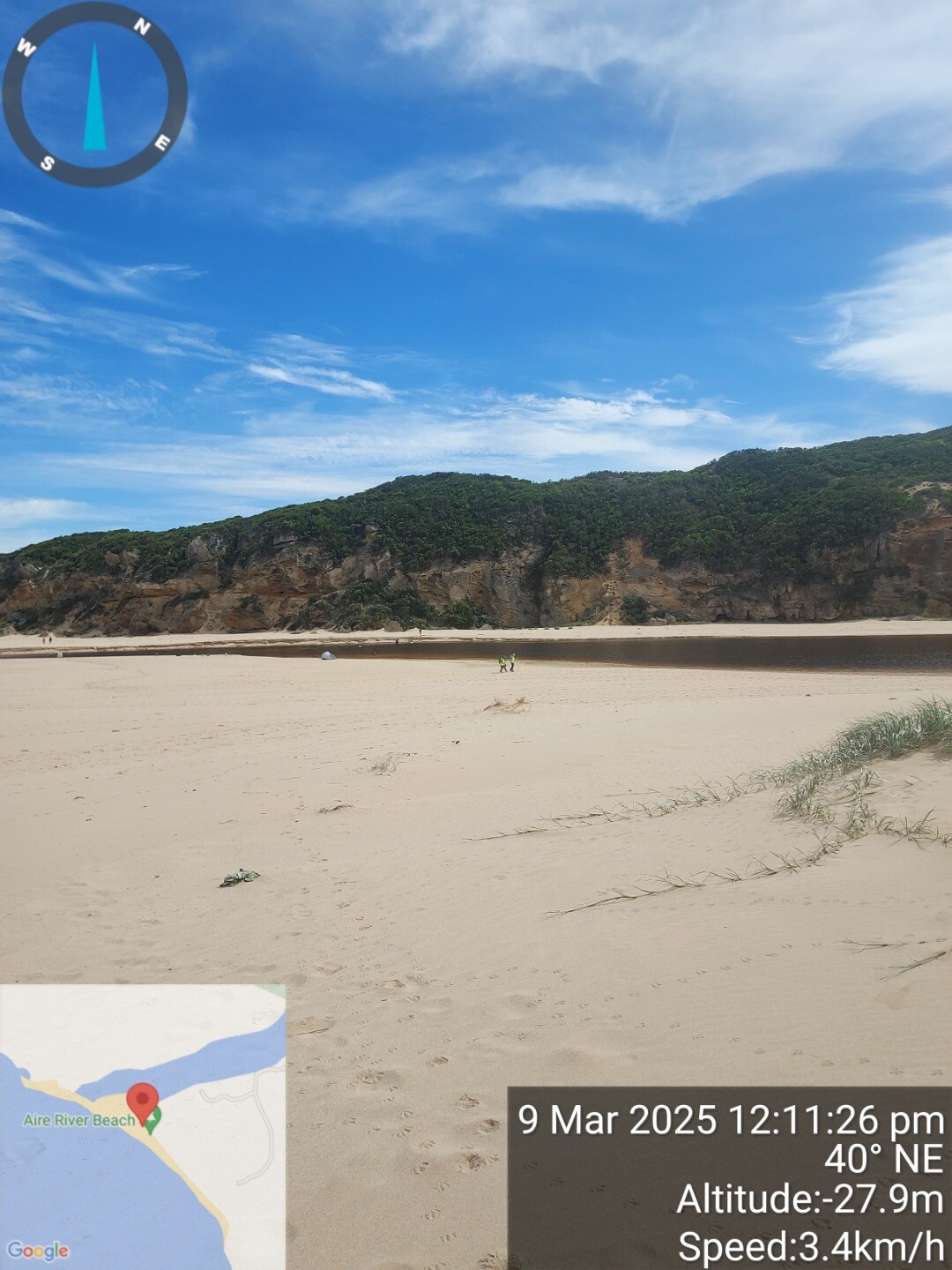
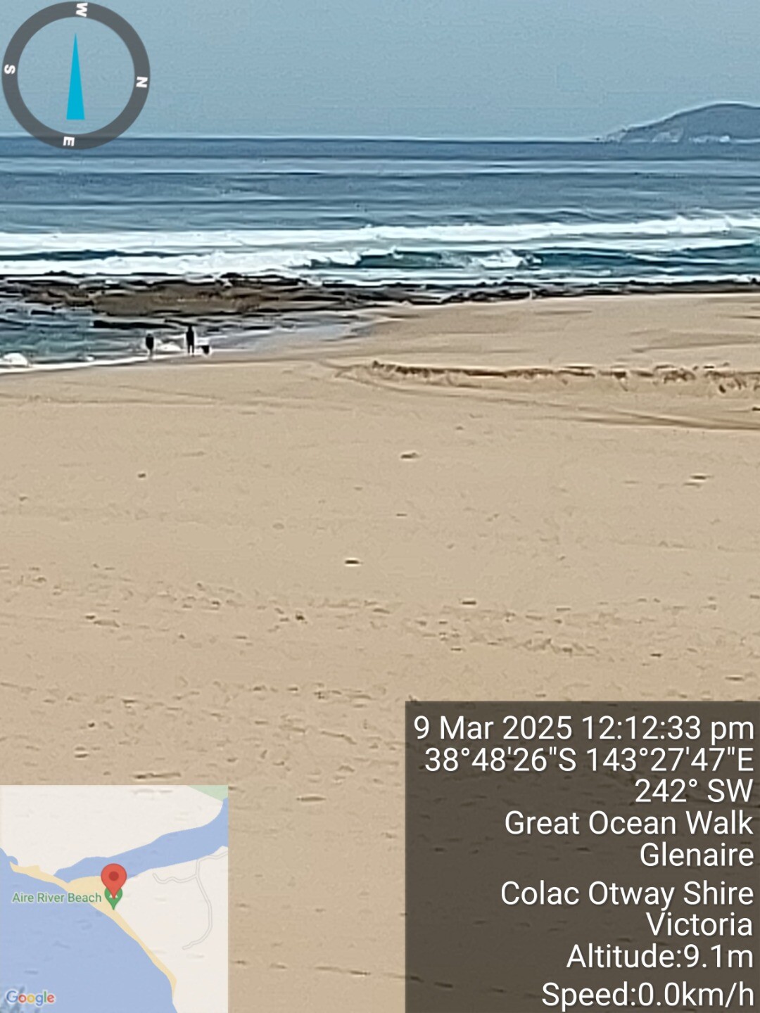
| 9 Mar 2025 | Approved |
Notes:
Shore breaks and rip channel, but sea appears calm beyong shore break. |
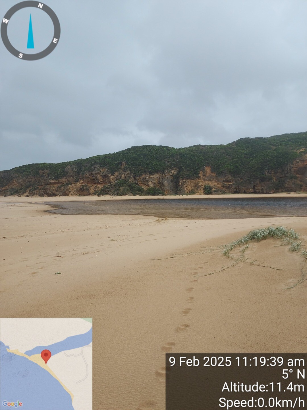
| 9 Feb 2025 | Approved |
Notes:
Old channel dug in January closed but still visible. closets point on river part way up old cut. |
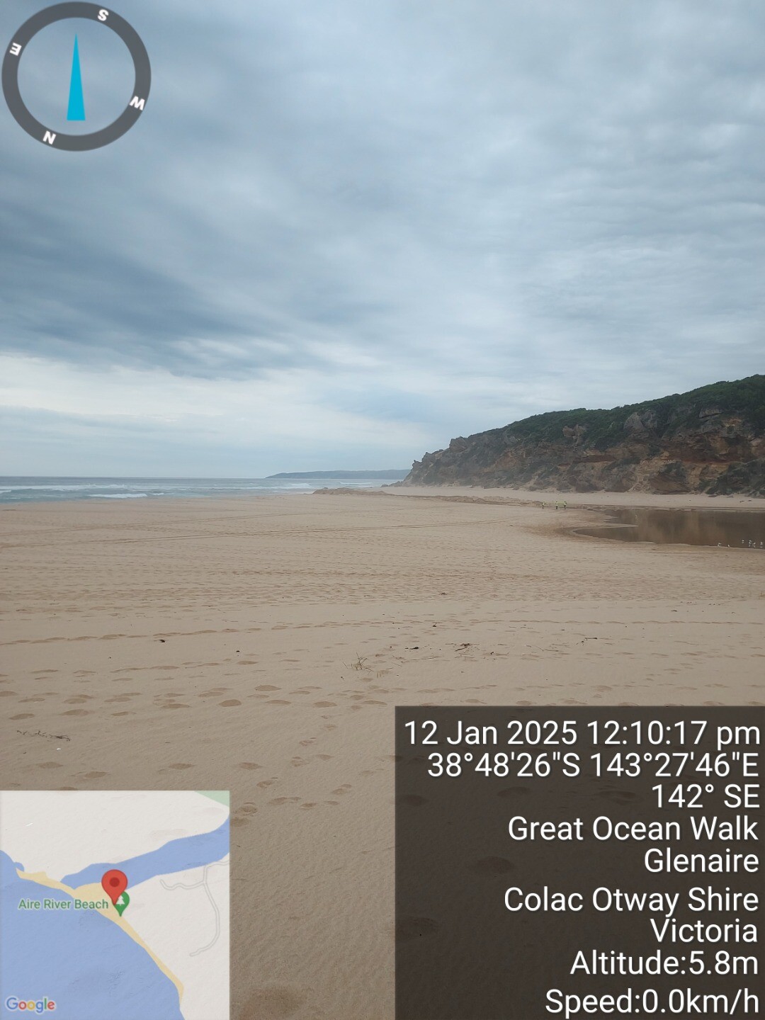
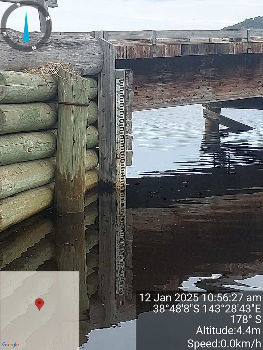
| 12 Jan 2025 | Approved |
Notes:
sea state beyond shore breakers, usual rough breakers inshore. Channel cut with excavator but silted up with evening high tine on 11.1.25, campers noted it was flowing out yesterday (11/1/25) |
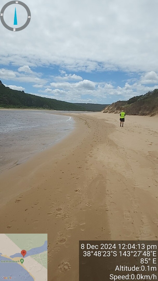
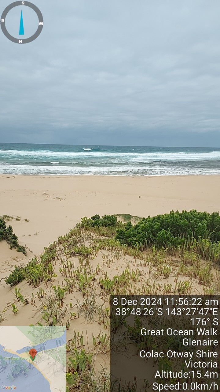
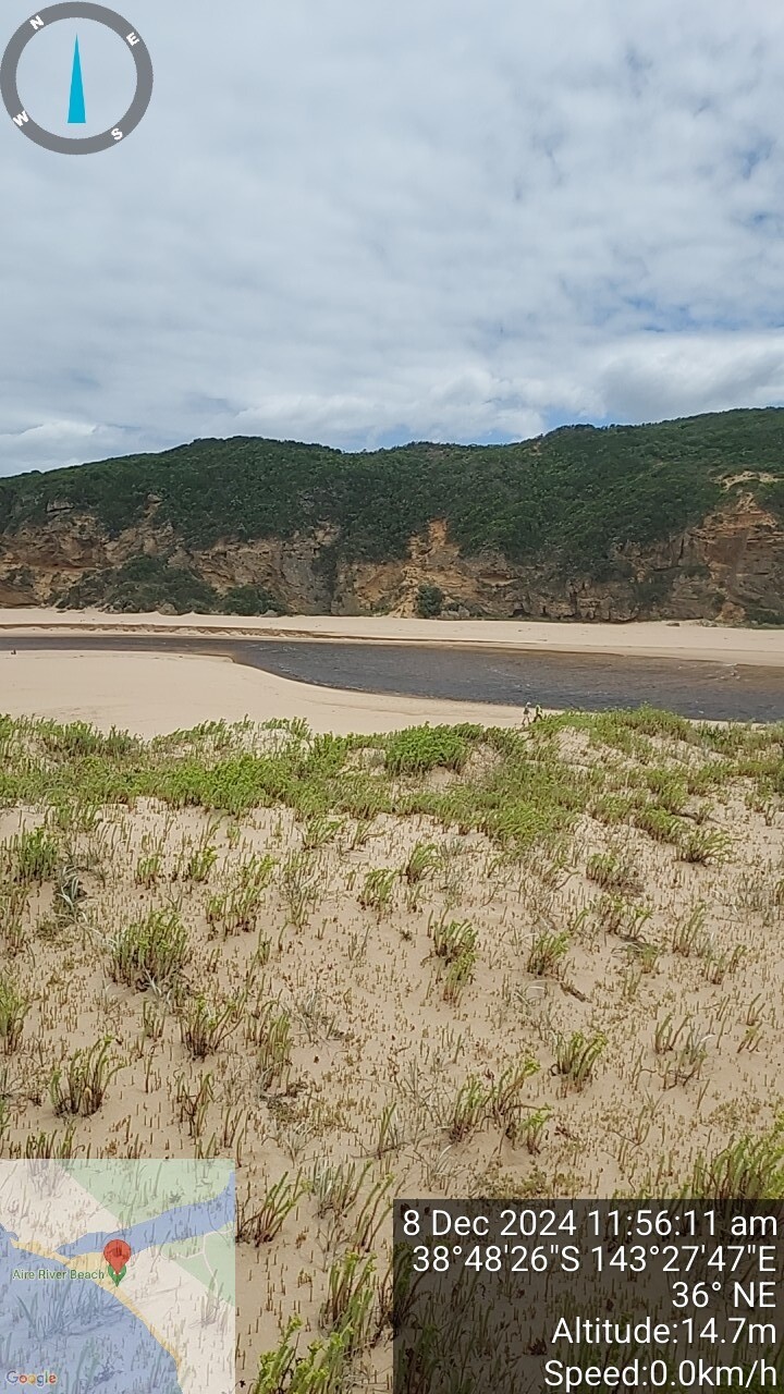
| 8 Dec 2024 | Approved |
Notes:
Deep channel and strong outflow, tide had just turned in at our visit. Channel has noticeably moved from previous observations with respect to old jetty pylons which are more exposed than previously. |
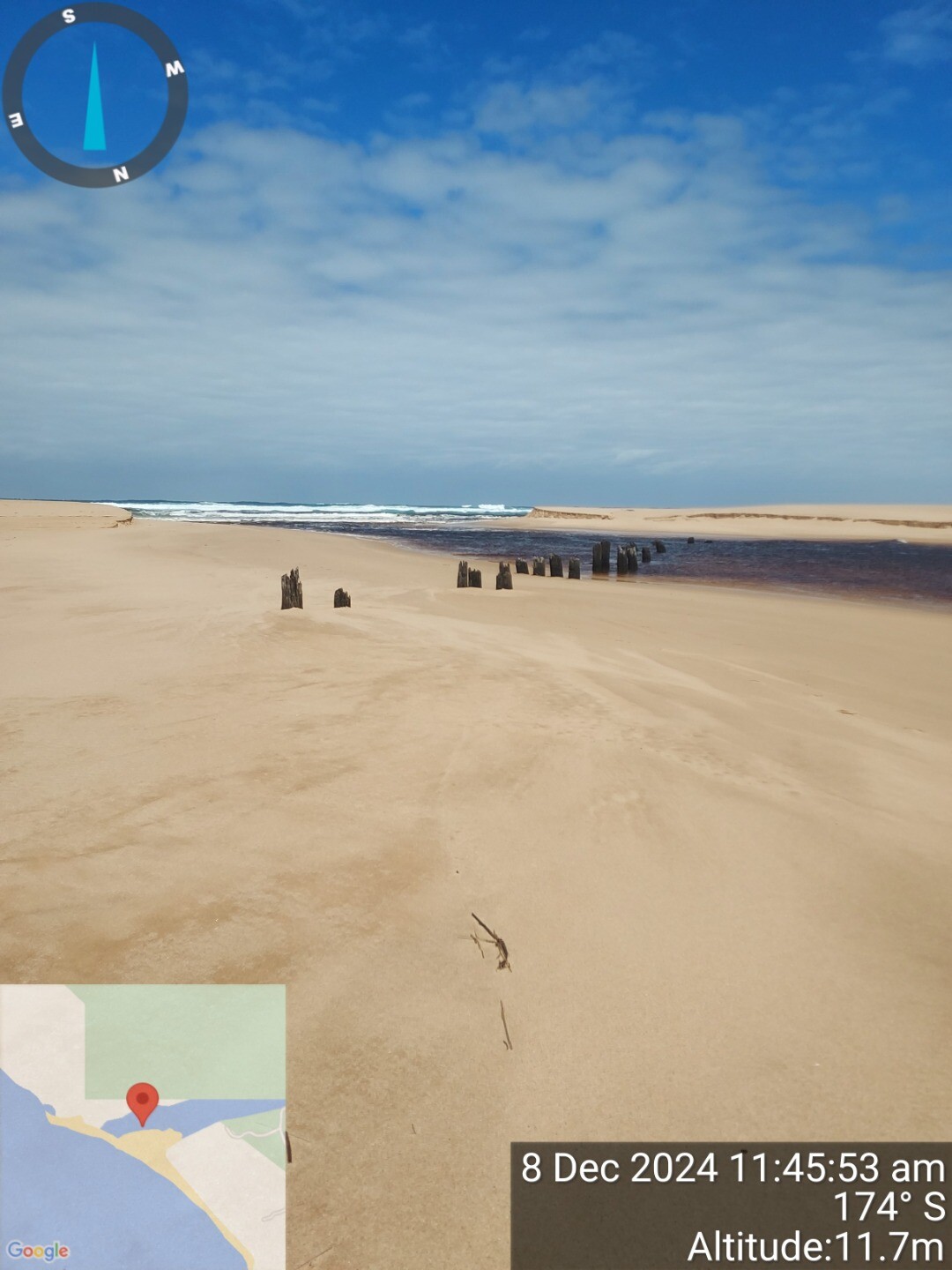
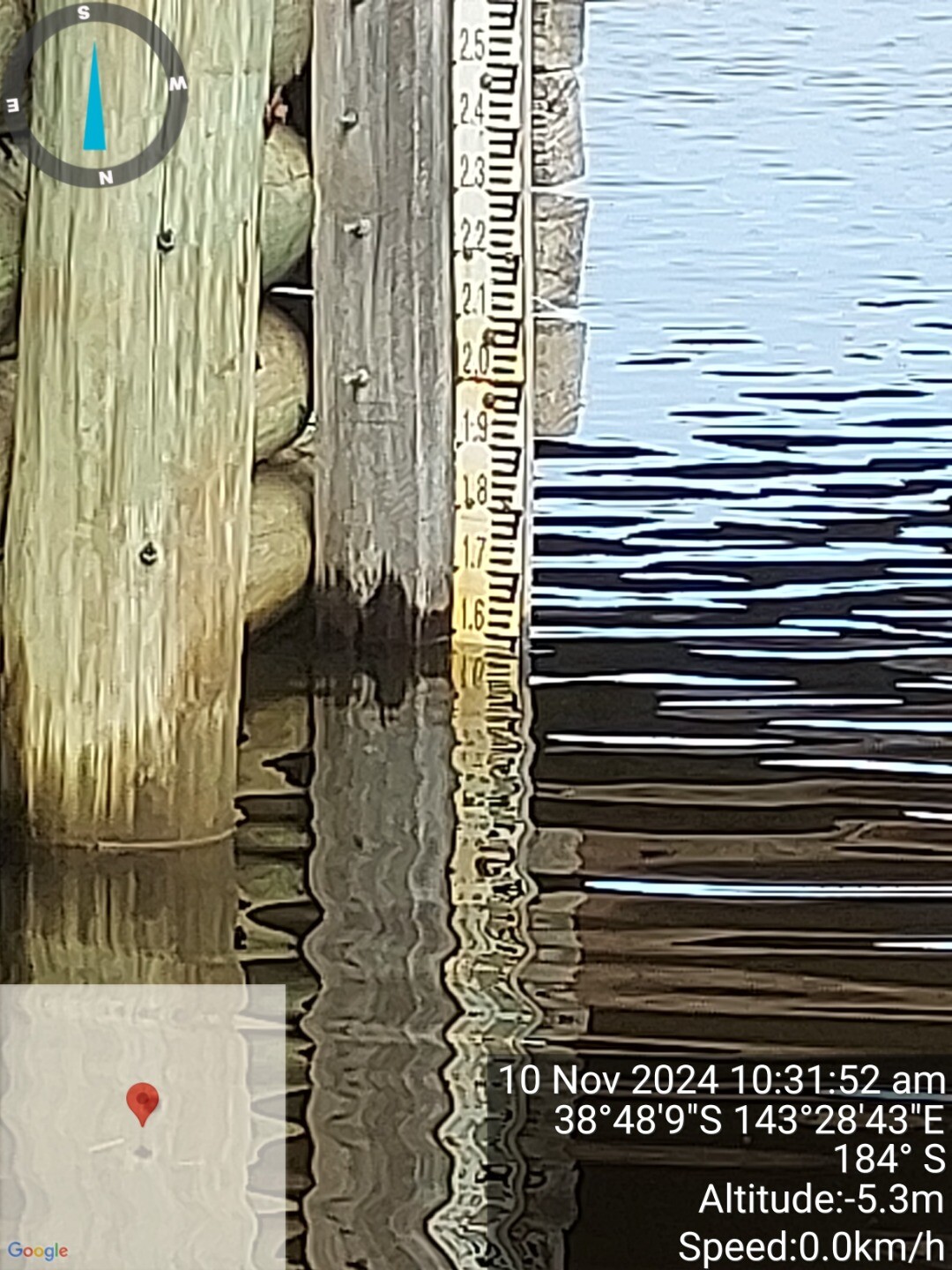
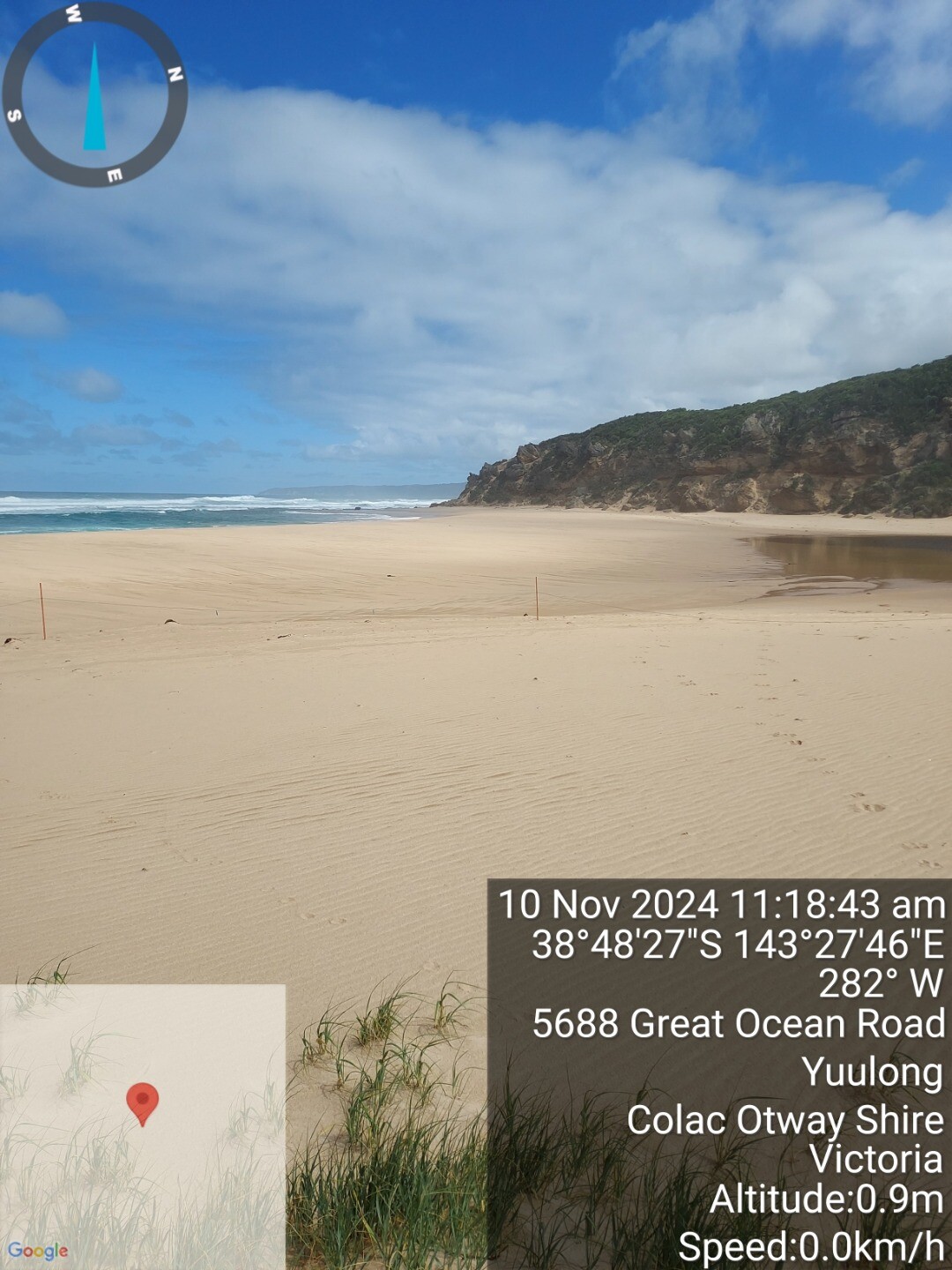
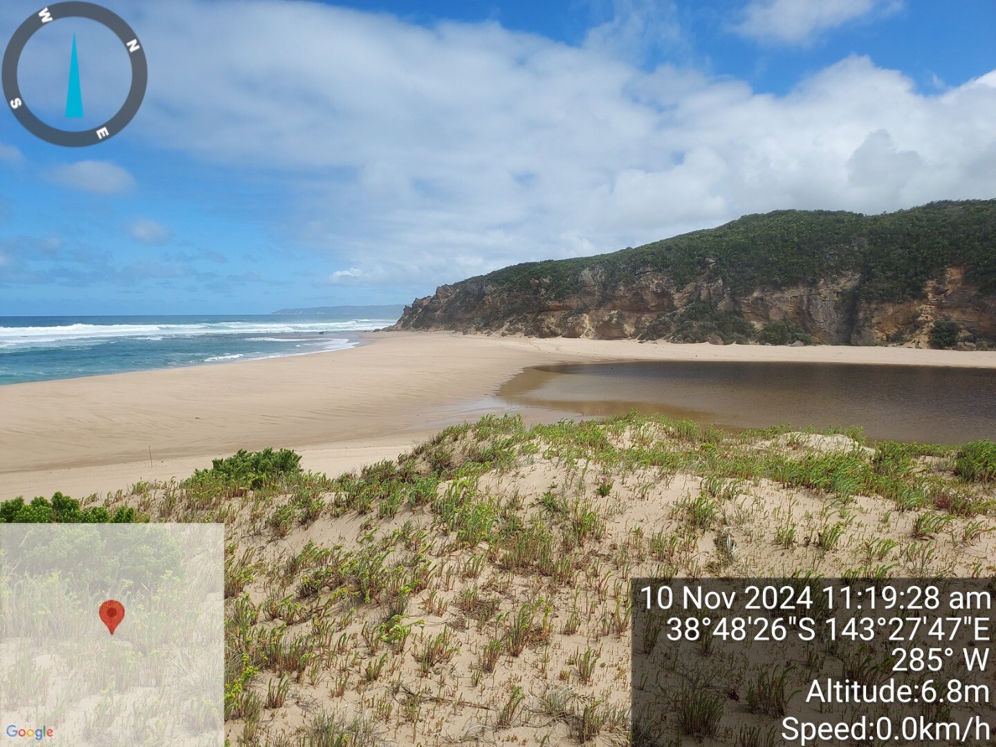
| 10 Nov 2024 | Approved |
Notes:
Observed wave action about to top over berm. Waves breaking on beach with strong rip, but slight seas beyond breakers Alternative berm measurment method used by VMLG |
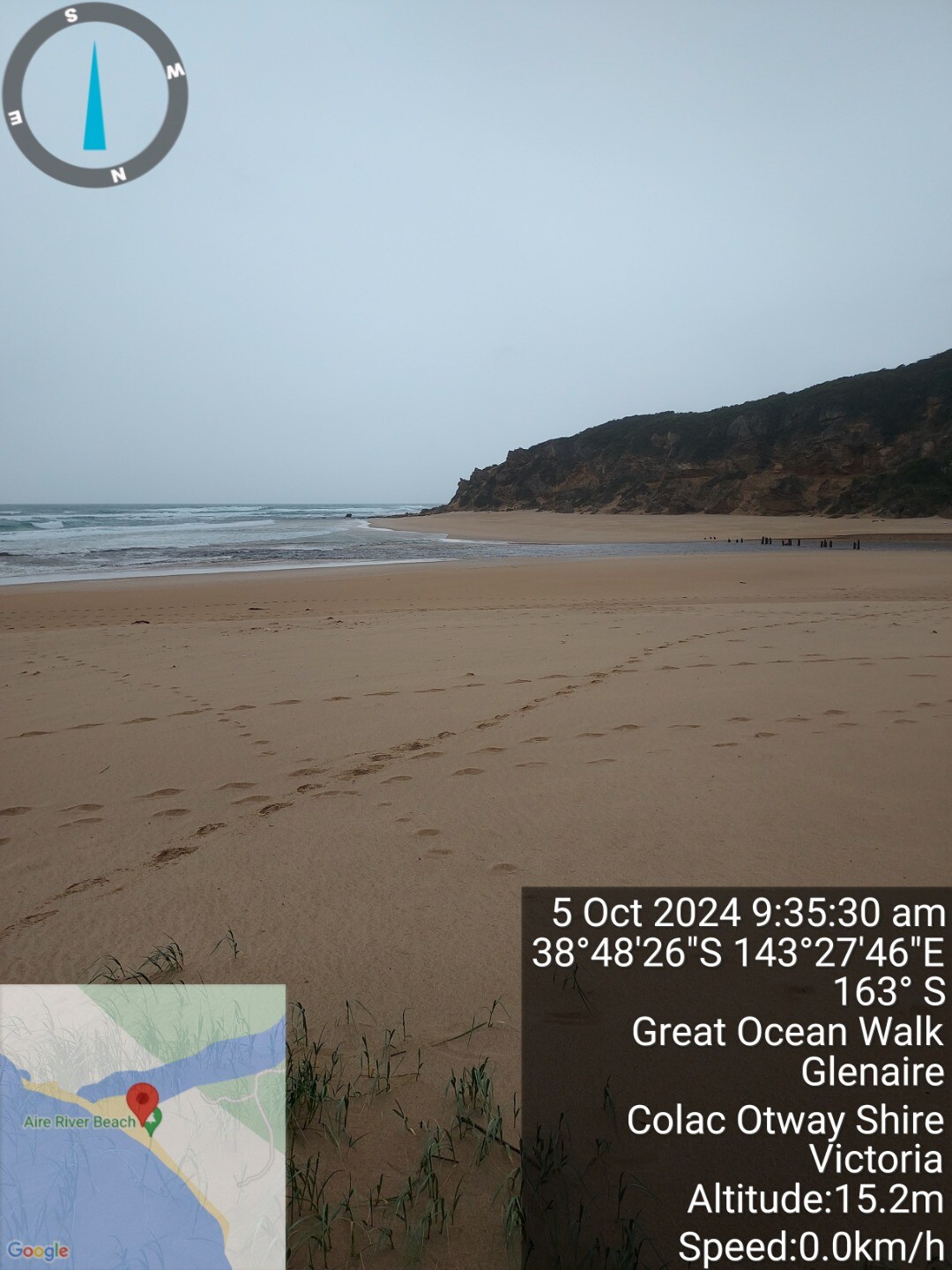
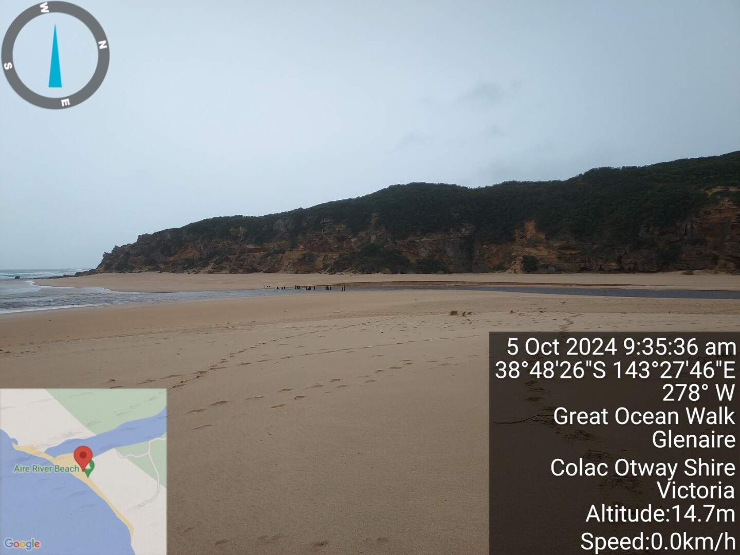
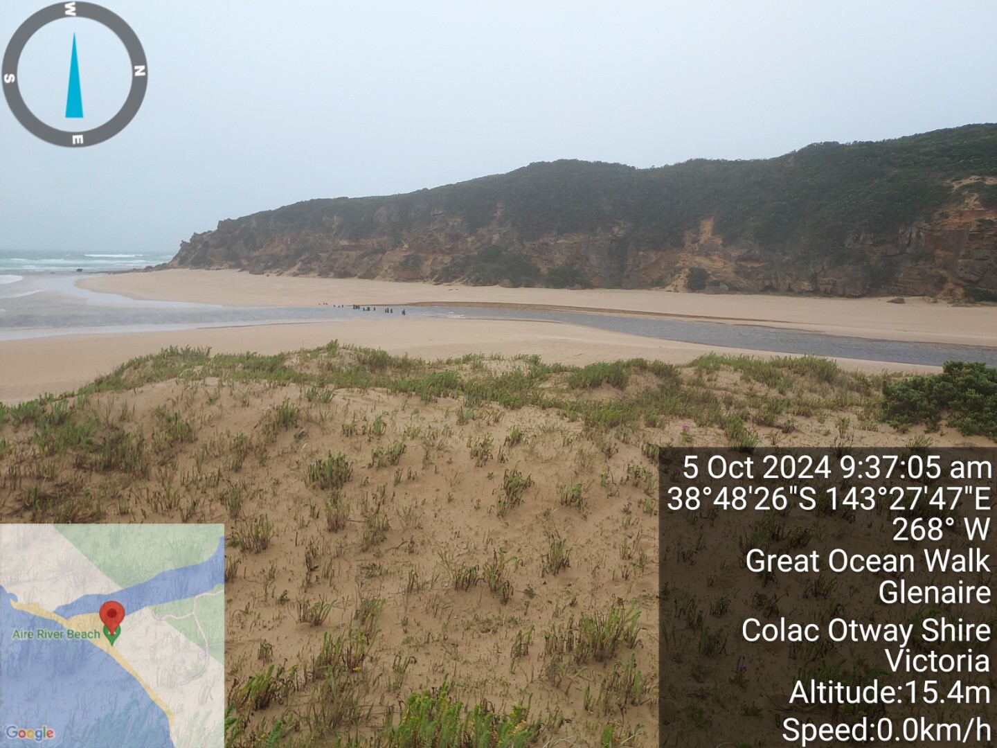
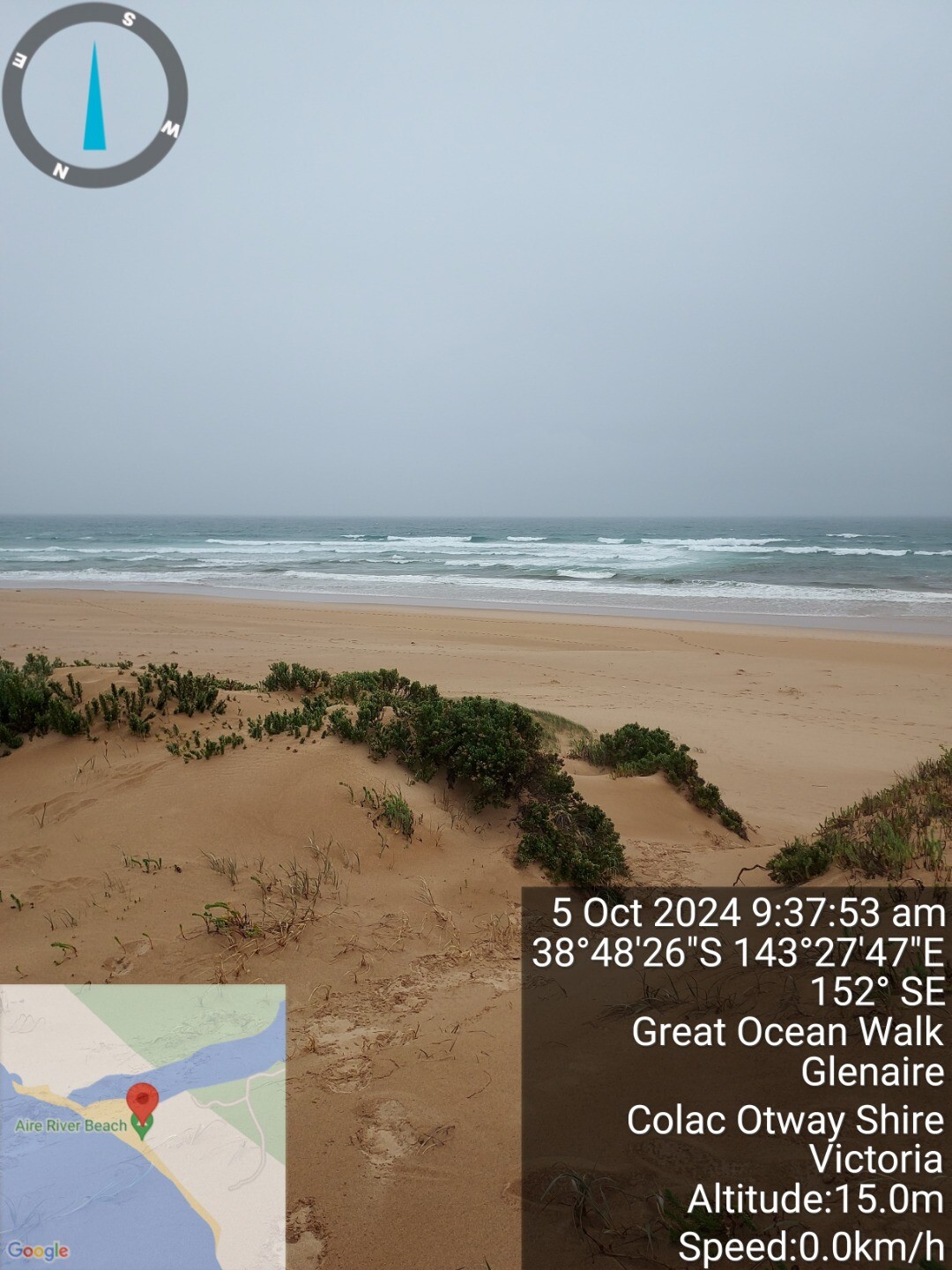
| 5 Oct 2024 | Approved |
Notes:
significant change of course at river mouth, deep channel to ocean, fast flowing at 1/2 tide. |
| 7 Sep 2024 | Approved |
Notes:
No access to to beach due to flooding. River mouth confirmed closed by walkers returning from beach 11.40am. |
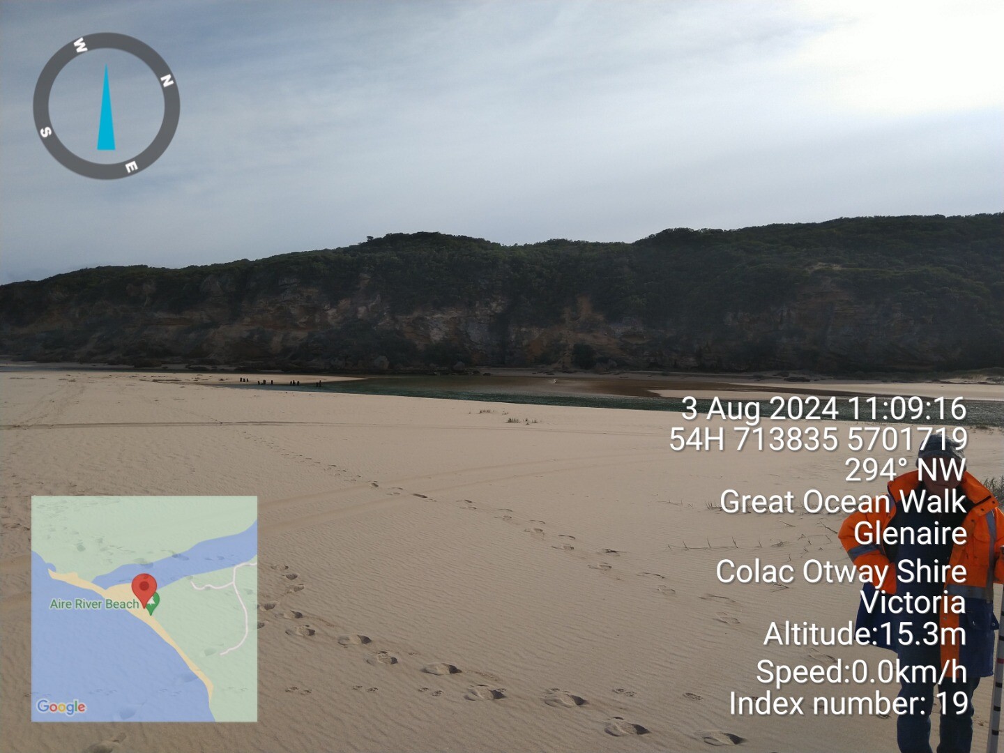
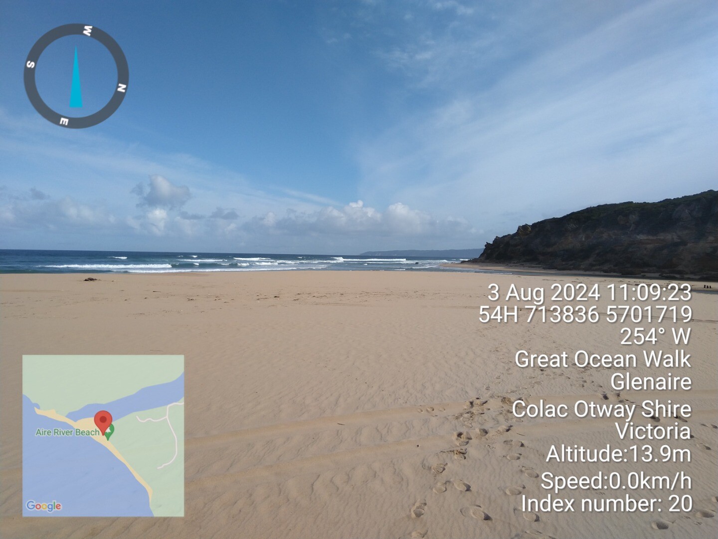
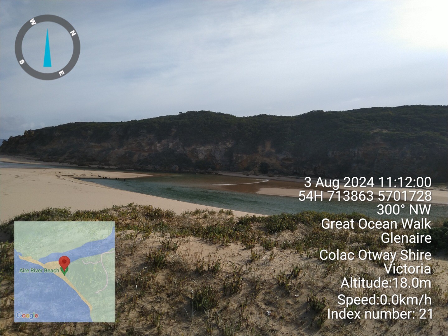
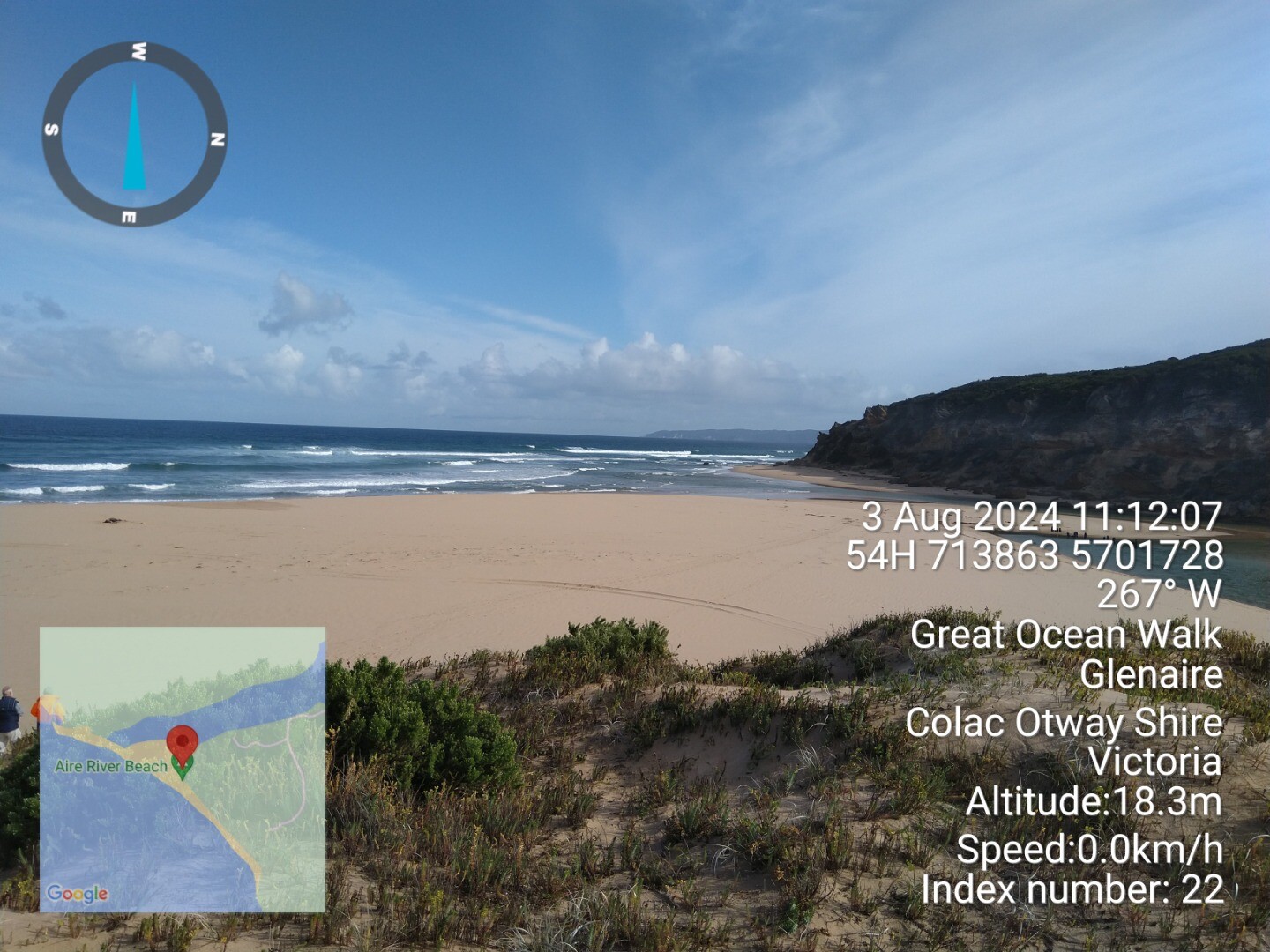
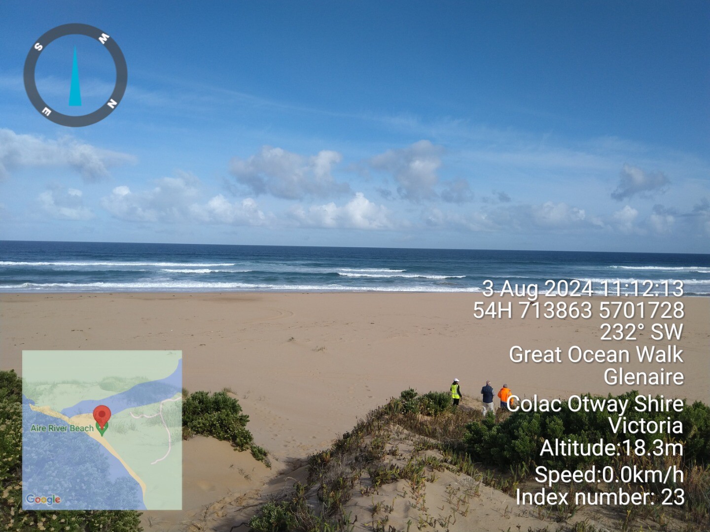
| 3 Aug 2024 | Approved | |
| 6 Jul 2024 | Approved |
Notes:
High tide breaches berm. 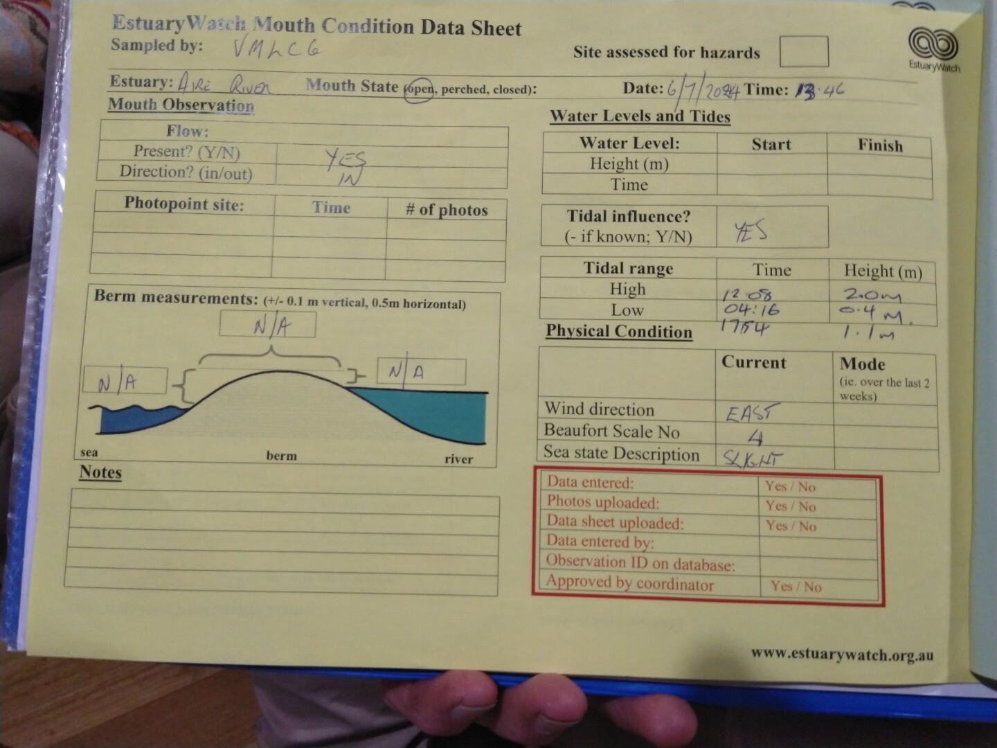 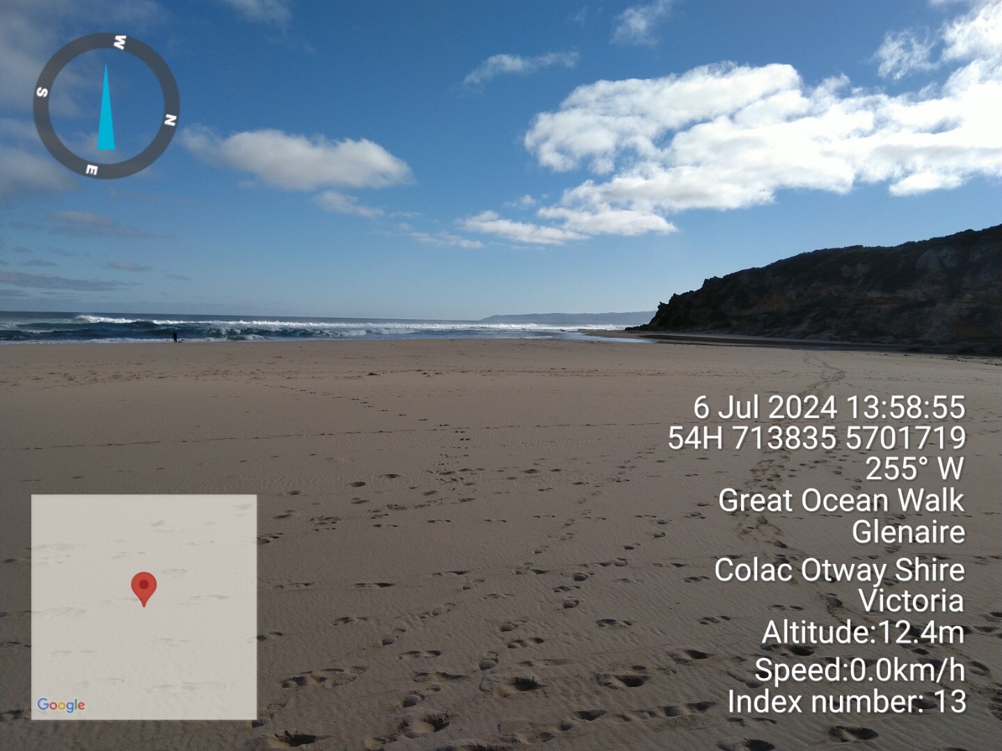 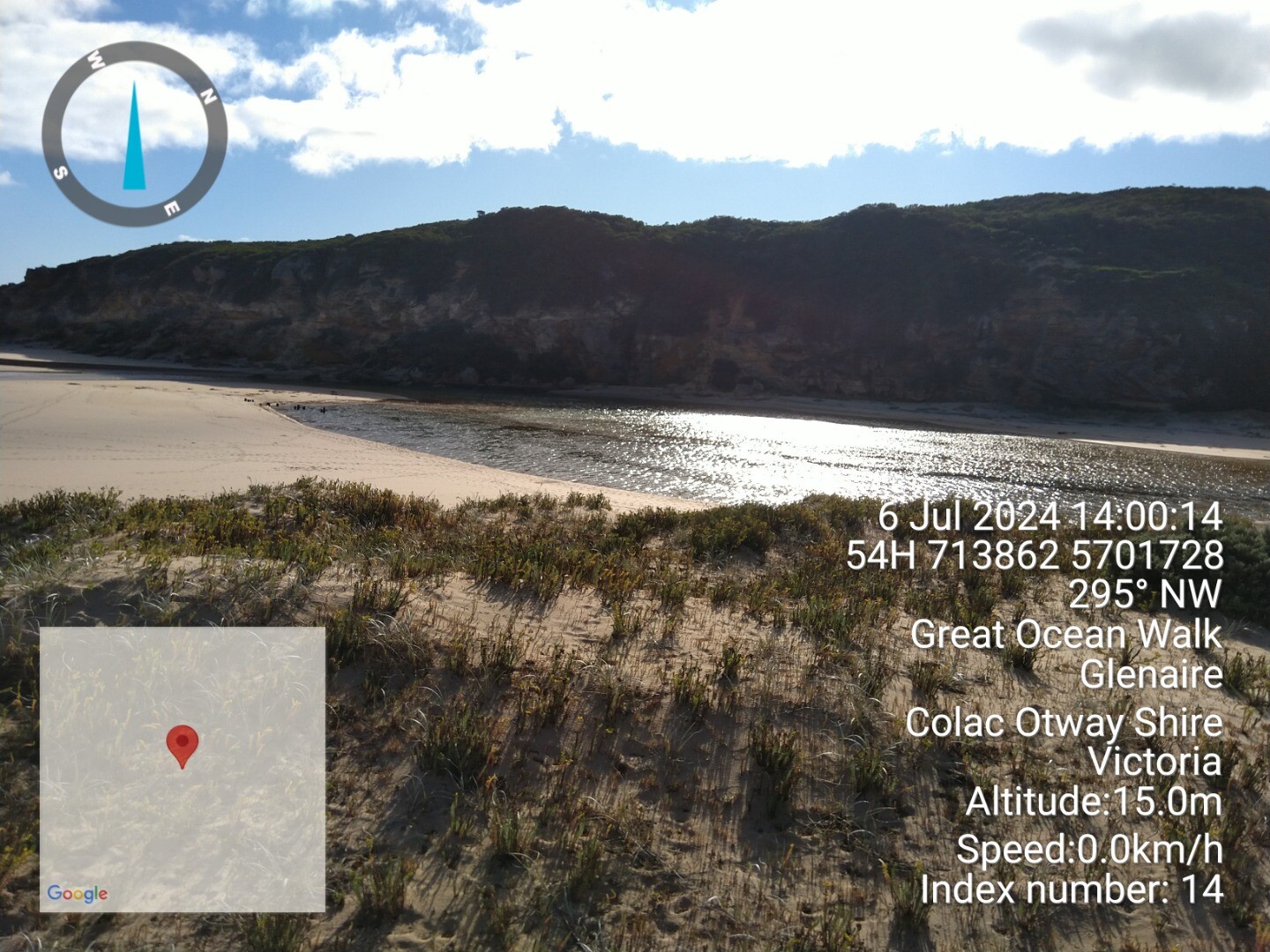 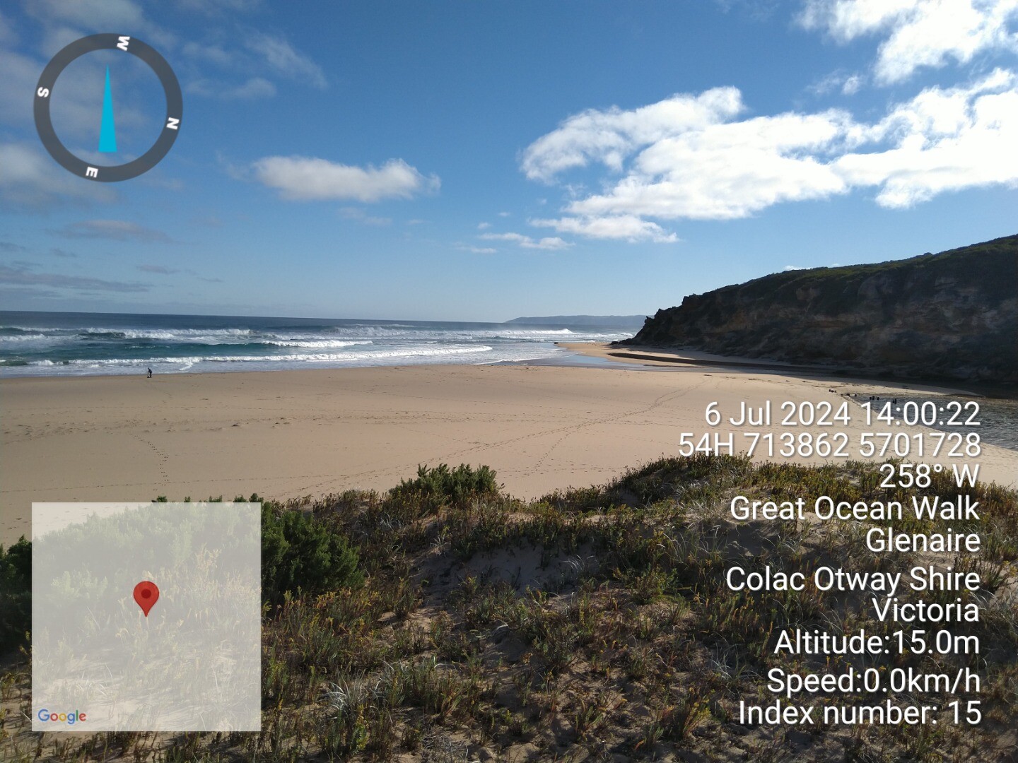 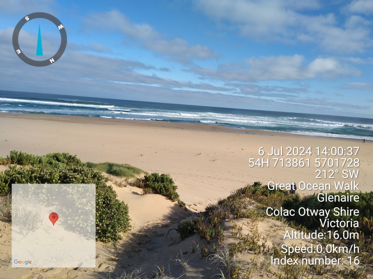 |
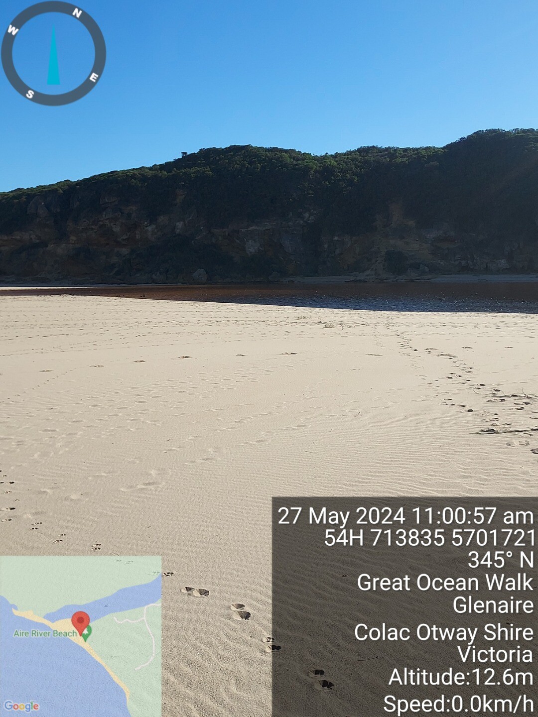
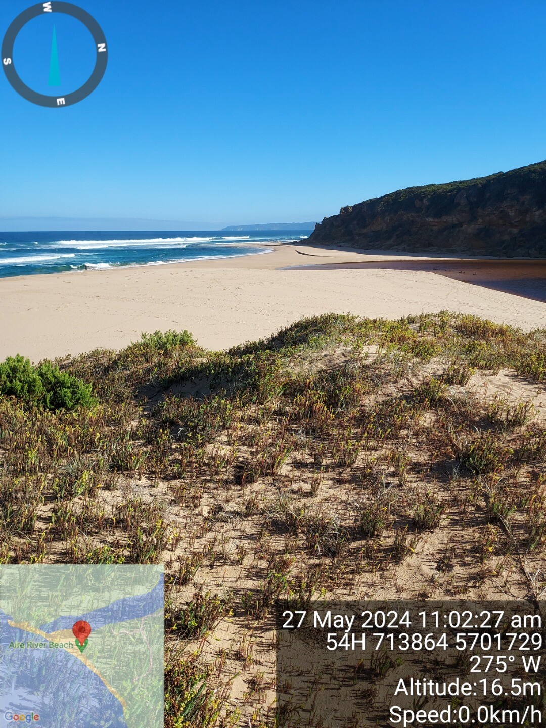
| 27 May 2024 | Approved |
Notes:
Rising tide, traces of excavated channel and observed tide very close to breaching berm. Would be tidal input to estuary at high tide. Was able to access beach along river banks |
| 27 Apr 2024 | Approved |
Notes:
River was just outflowing on arrival at site, then rising tide was inflowing by 11:10. Traces of the excavated channel observed at last visit but quite silted up by tidal influence. River level had risen quite dramatically over the previous week from about .09m to 1.3m at Hordern Vale gauging station. 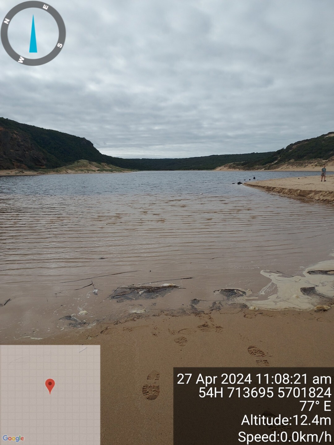  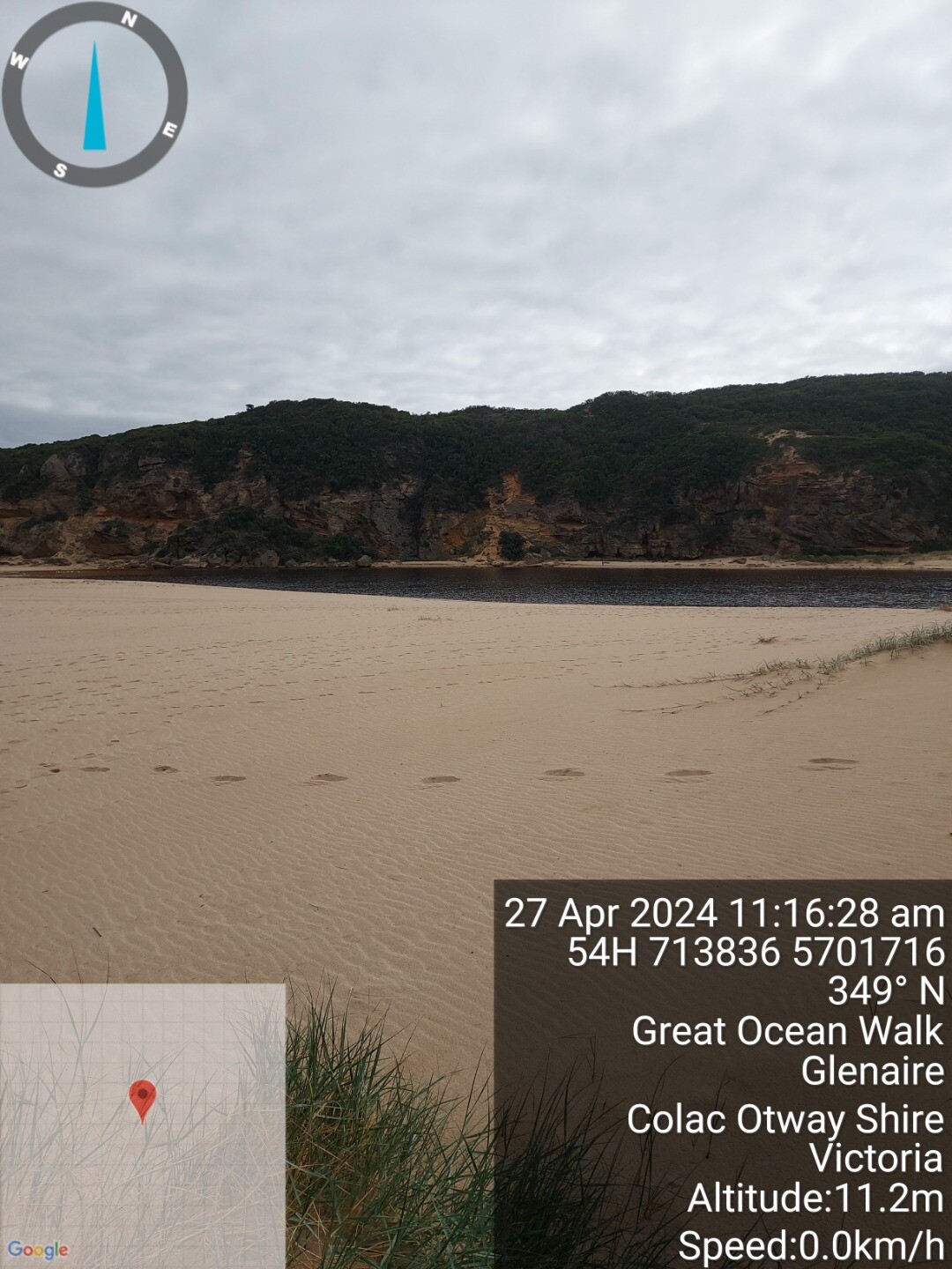 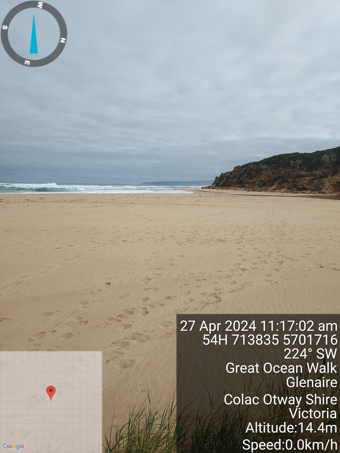 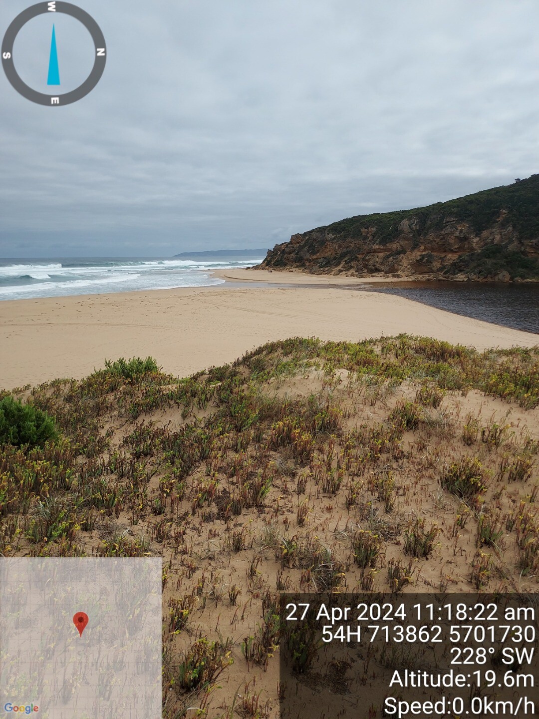 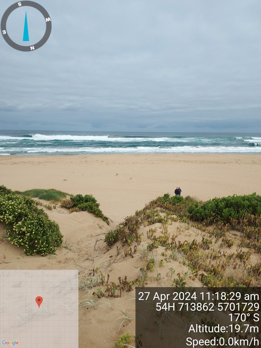 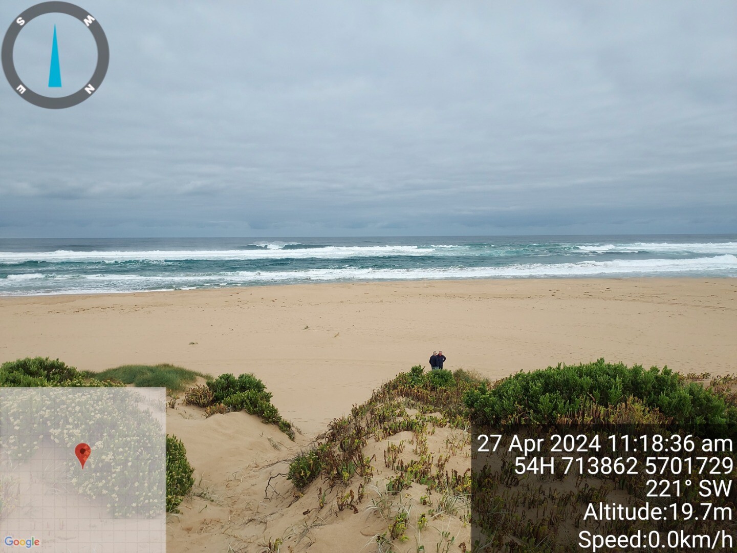 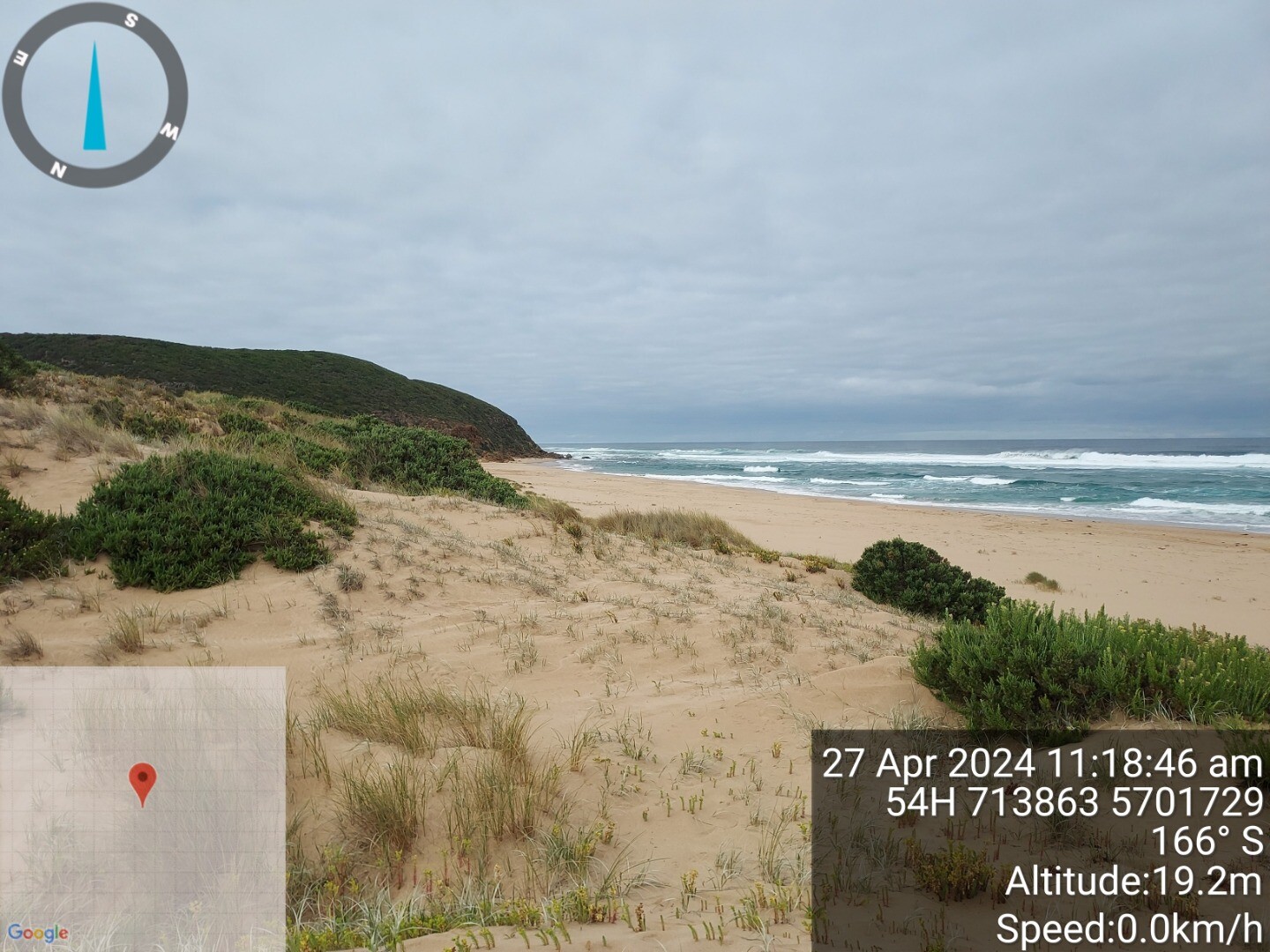  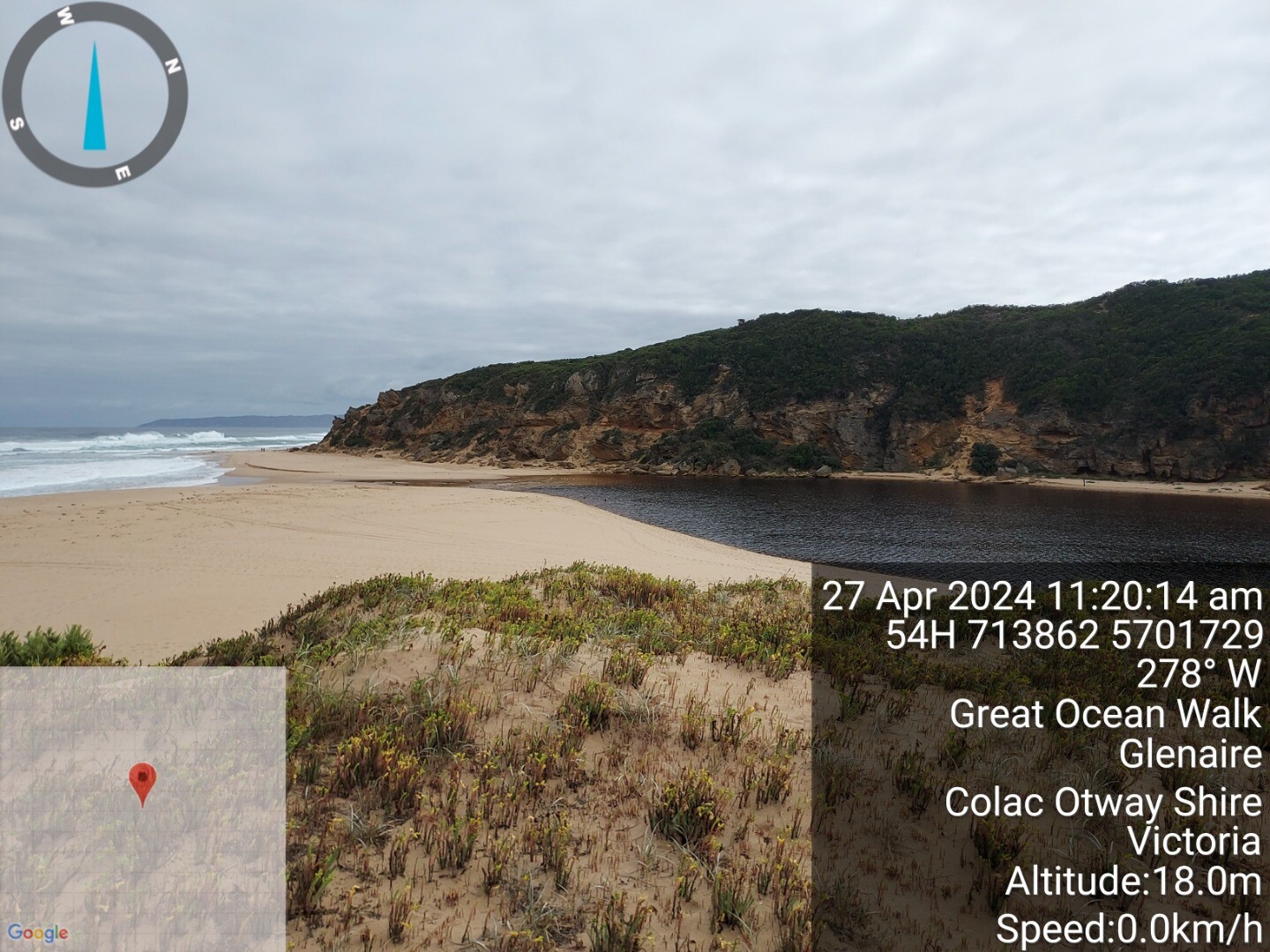 |
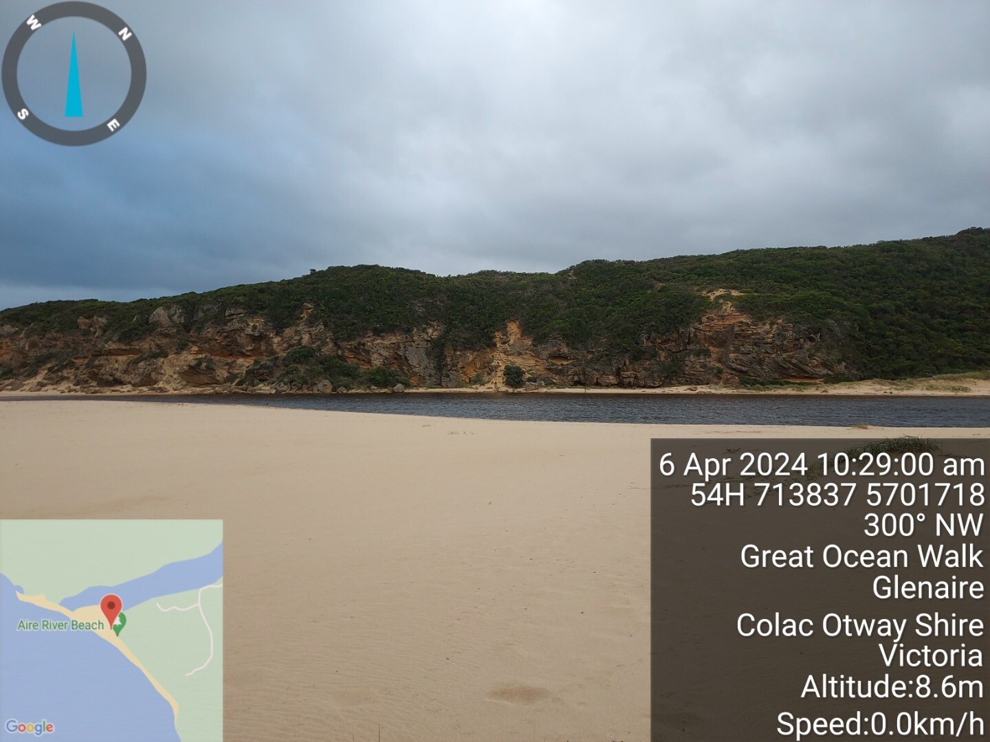
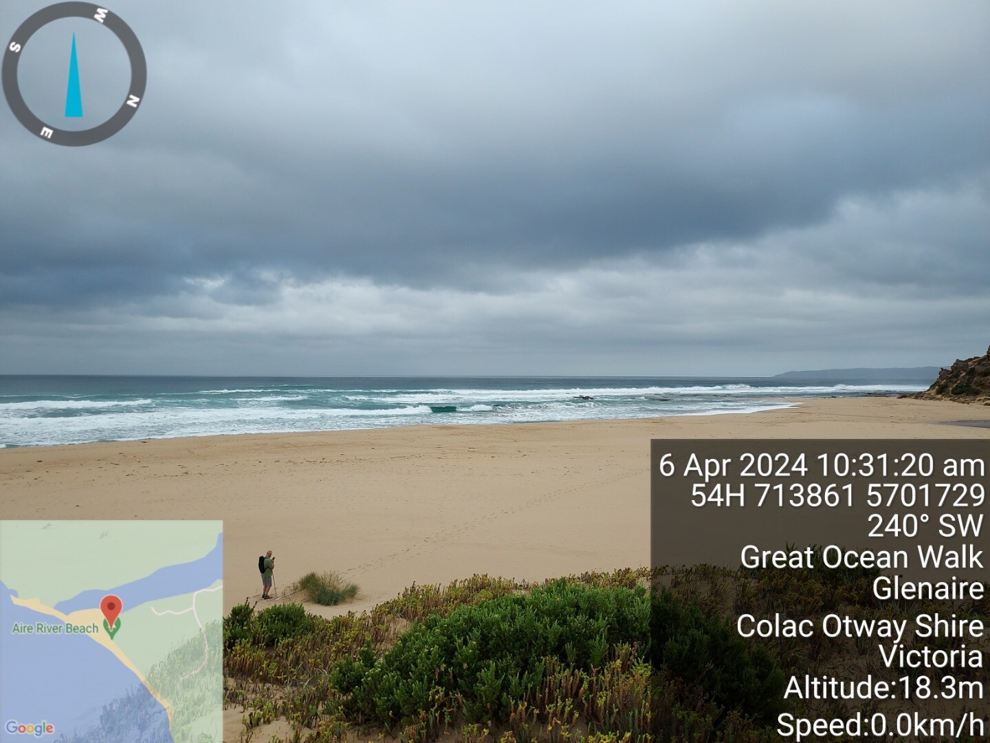
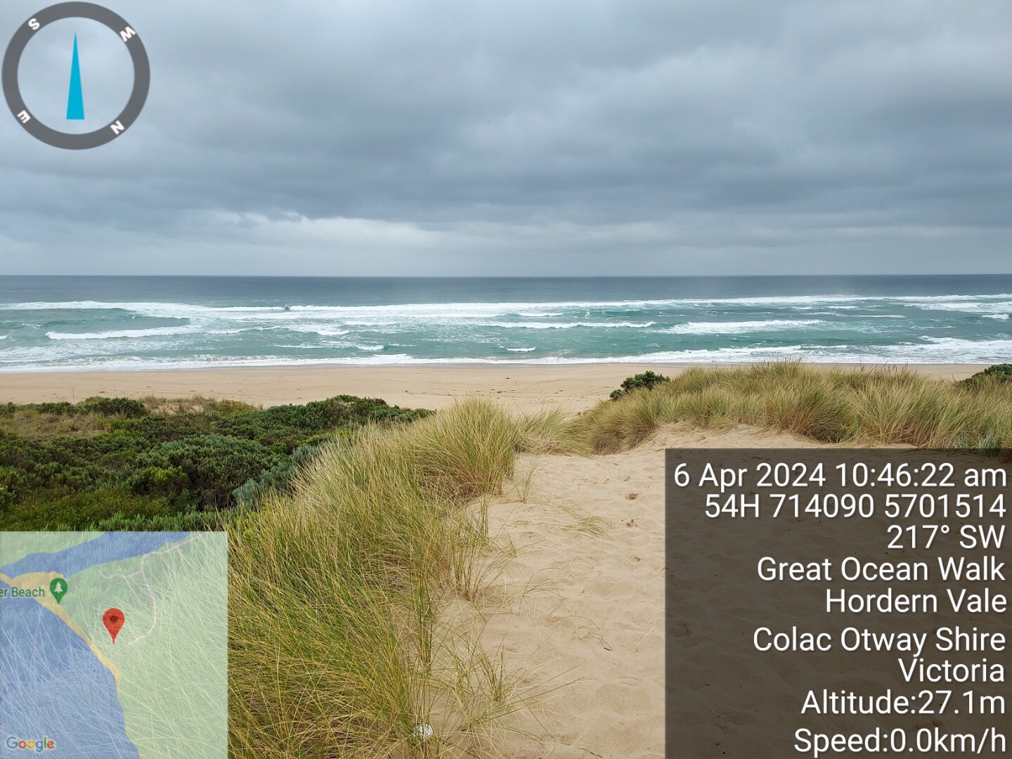
| 6 Apr 2024 | Approved |
Notes:
1.1m tide at 10:14 interpolated from willy weather photo 3 and 4 is elevated view from top of front dune, photos 1 and 2 from seagrass clump at base of dune photos 5 and 6 from top of dune access track showing sea state |
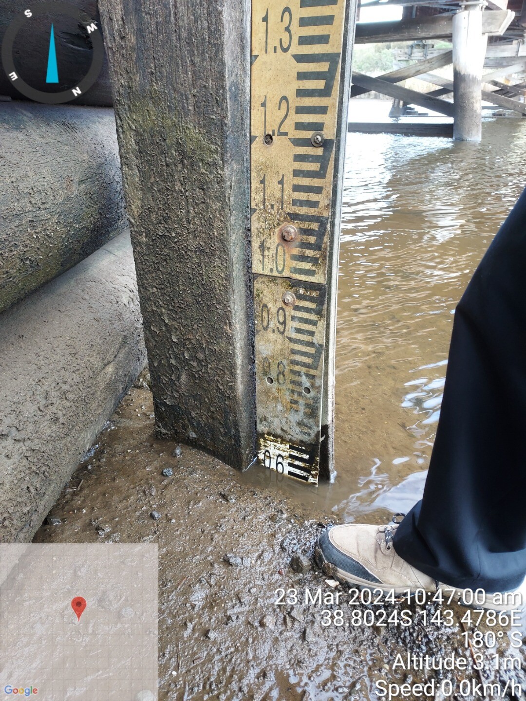
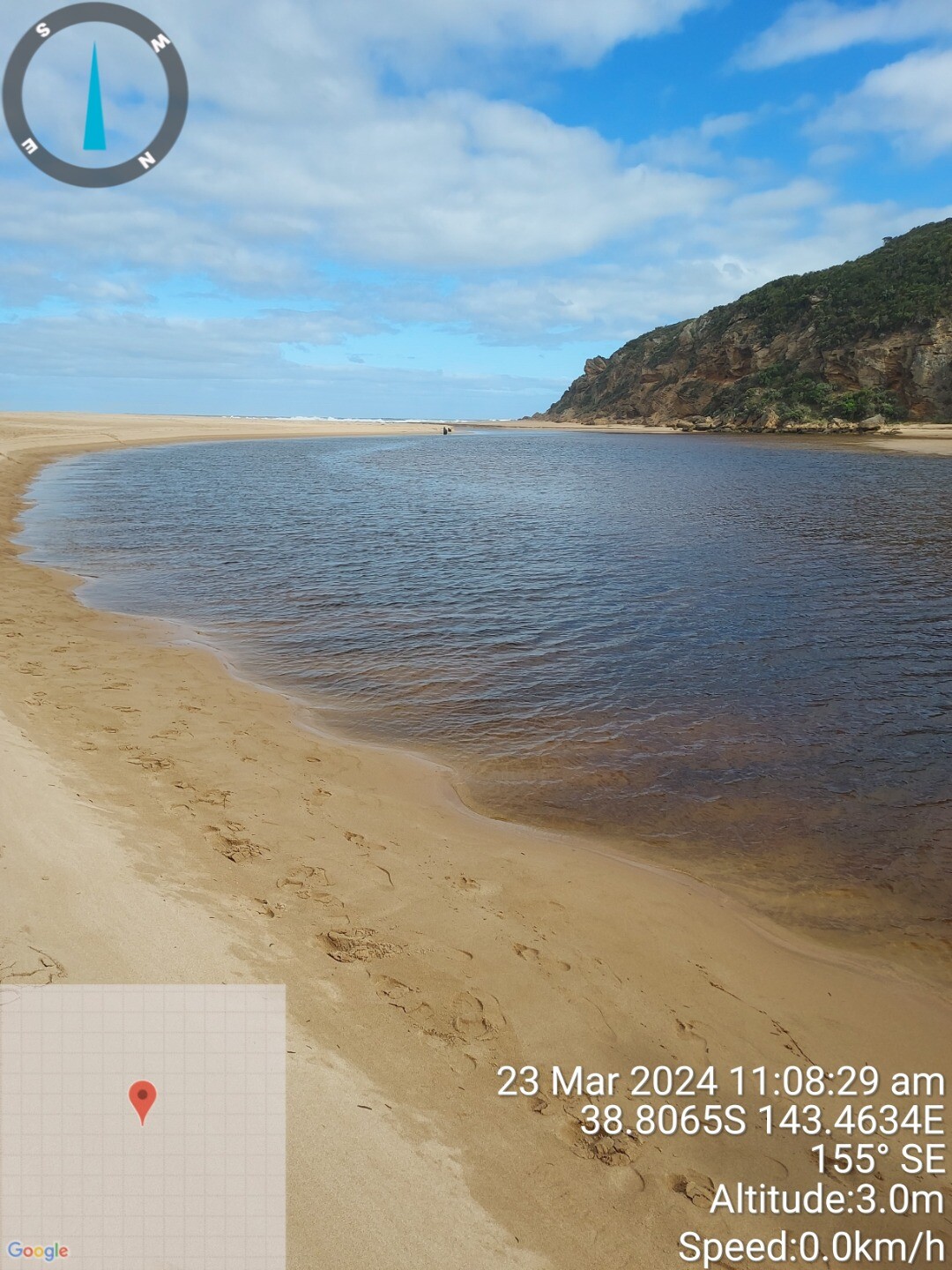
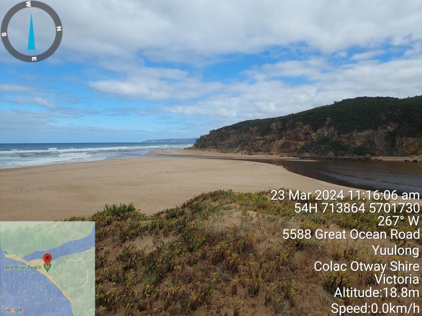
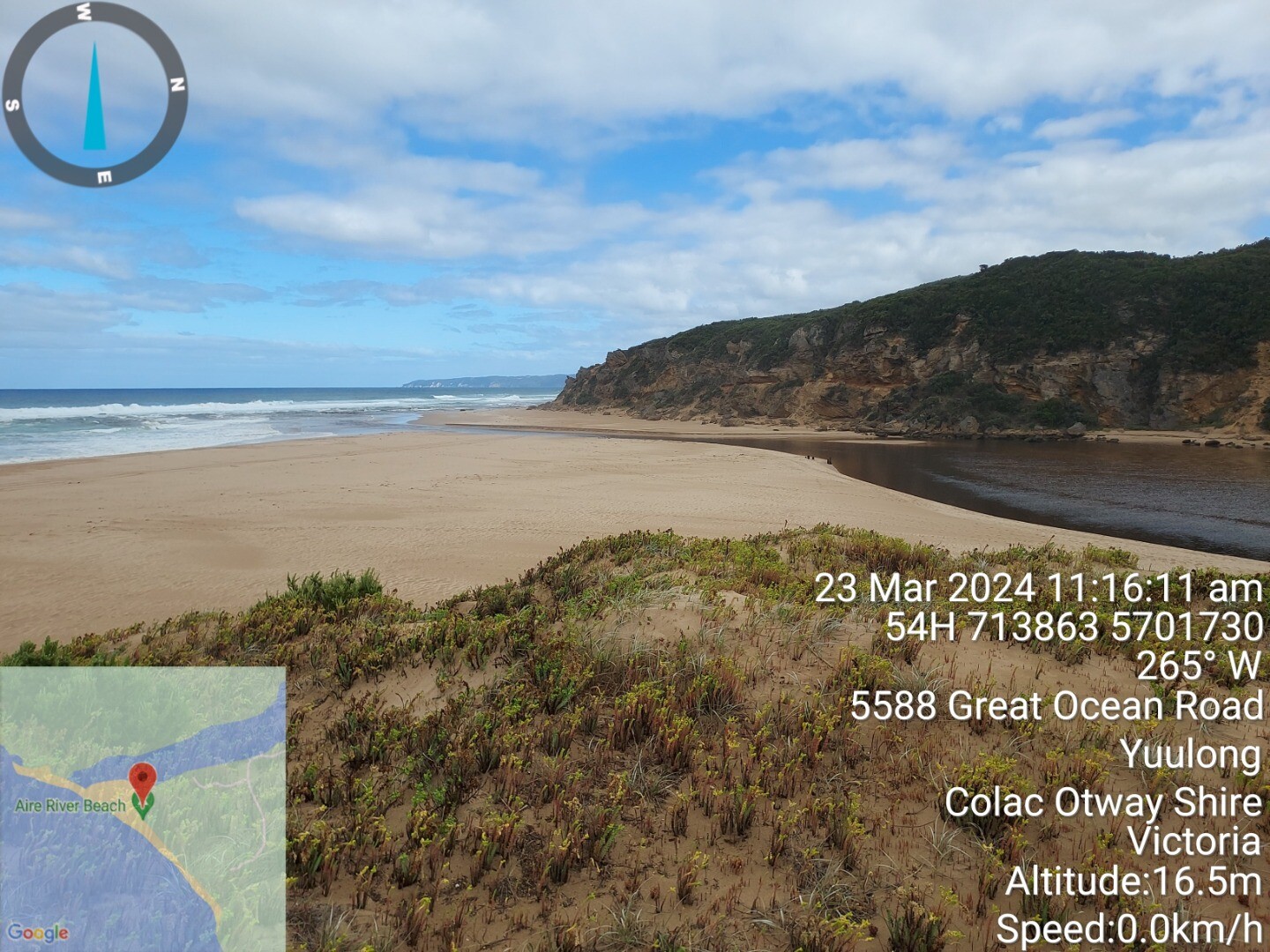
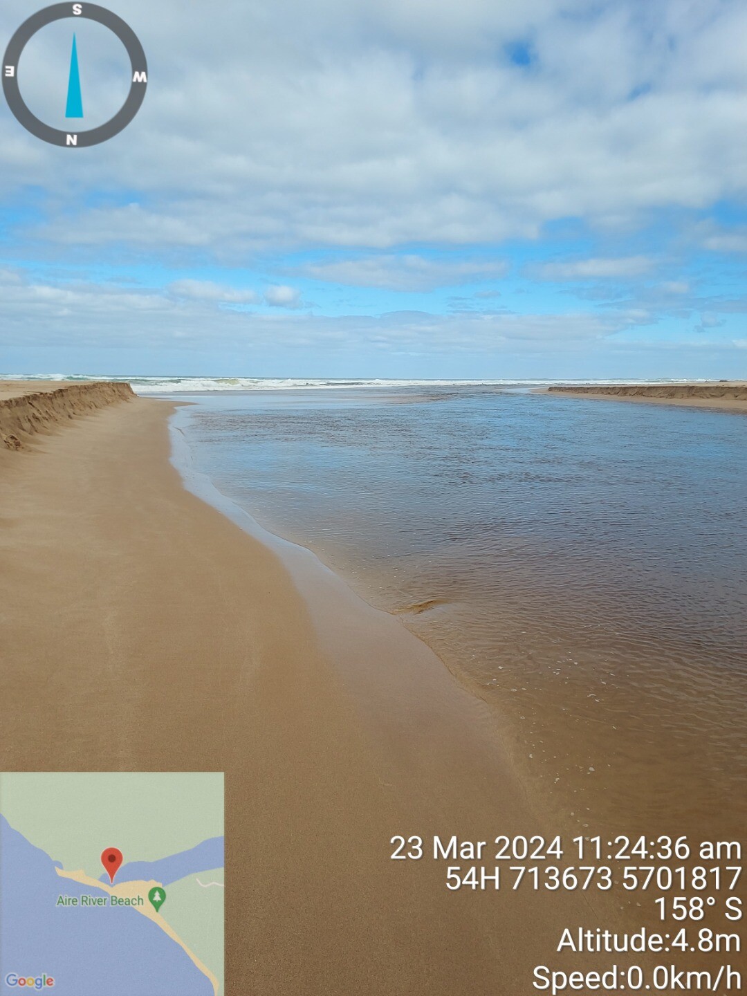
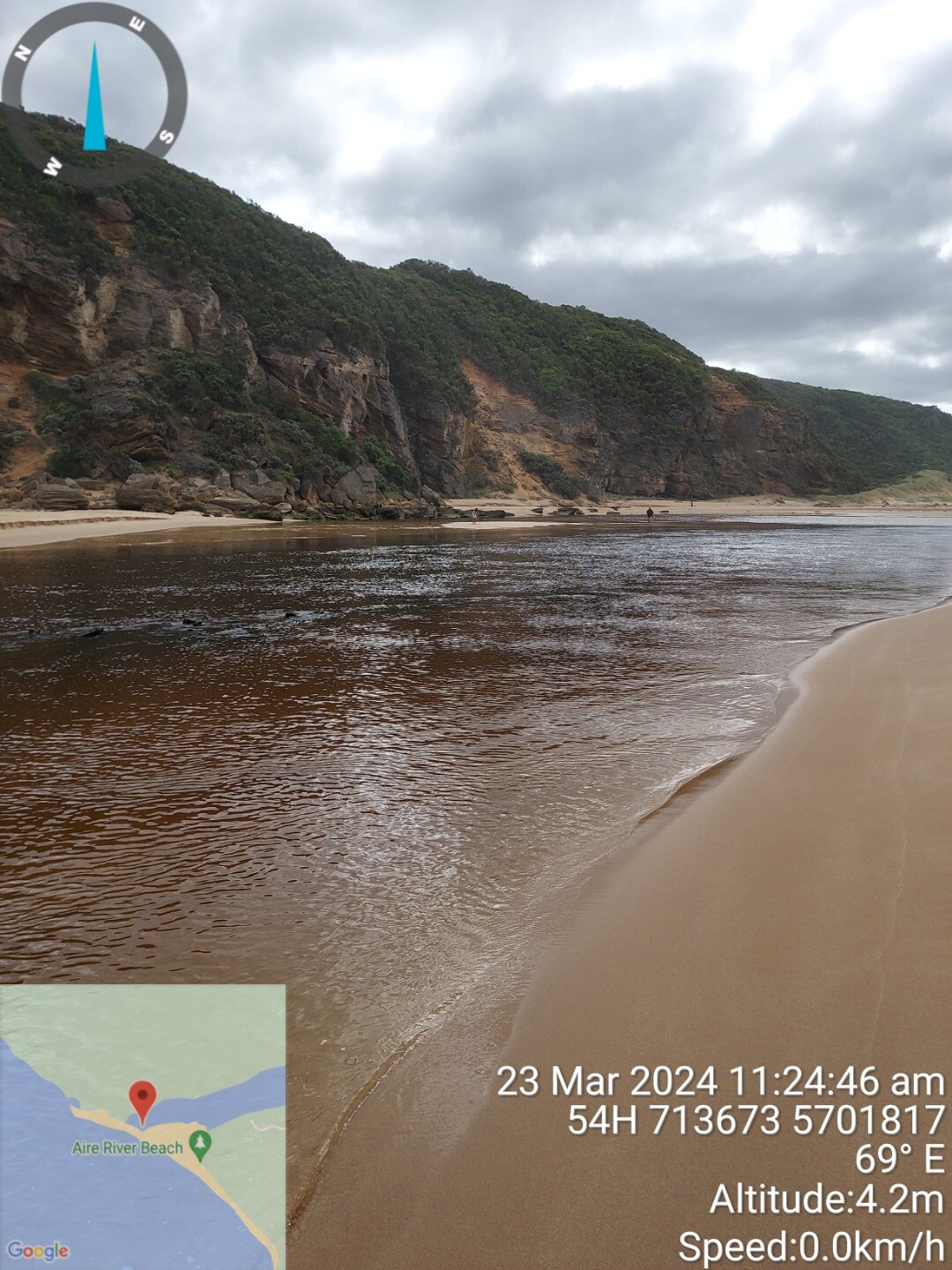
| 23 Mar 2024 | Approved |
Notes:
River gauge level 0.6m at bridge |
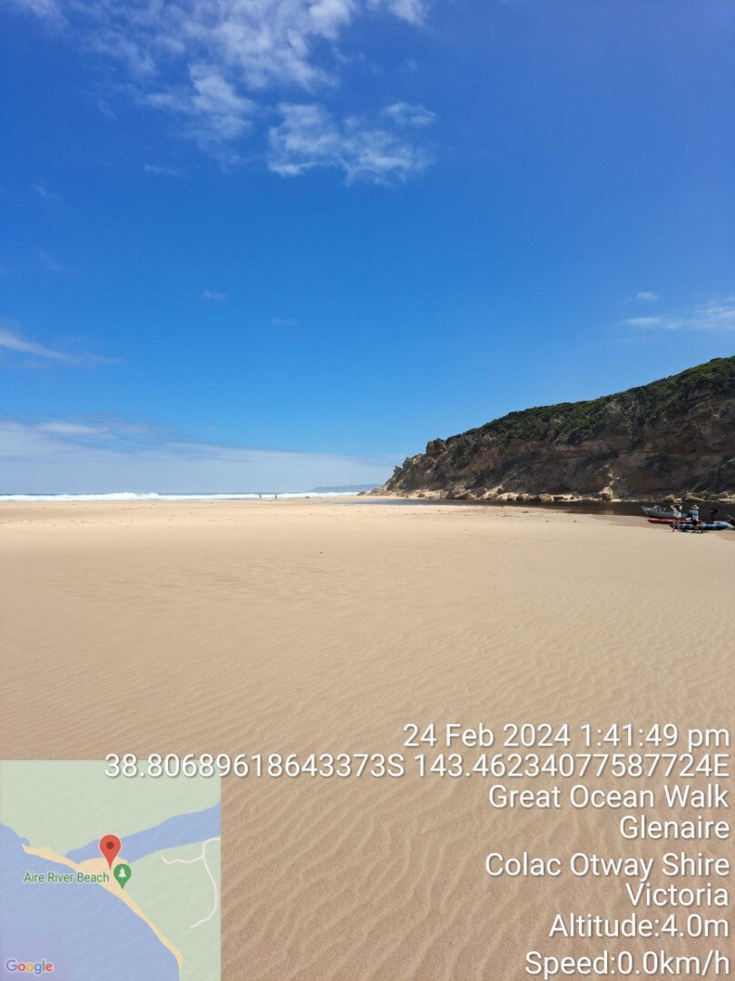
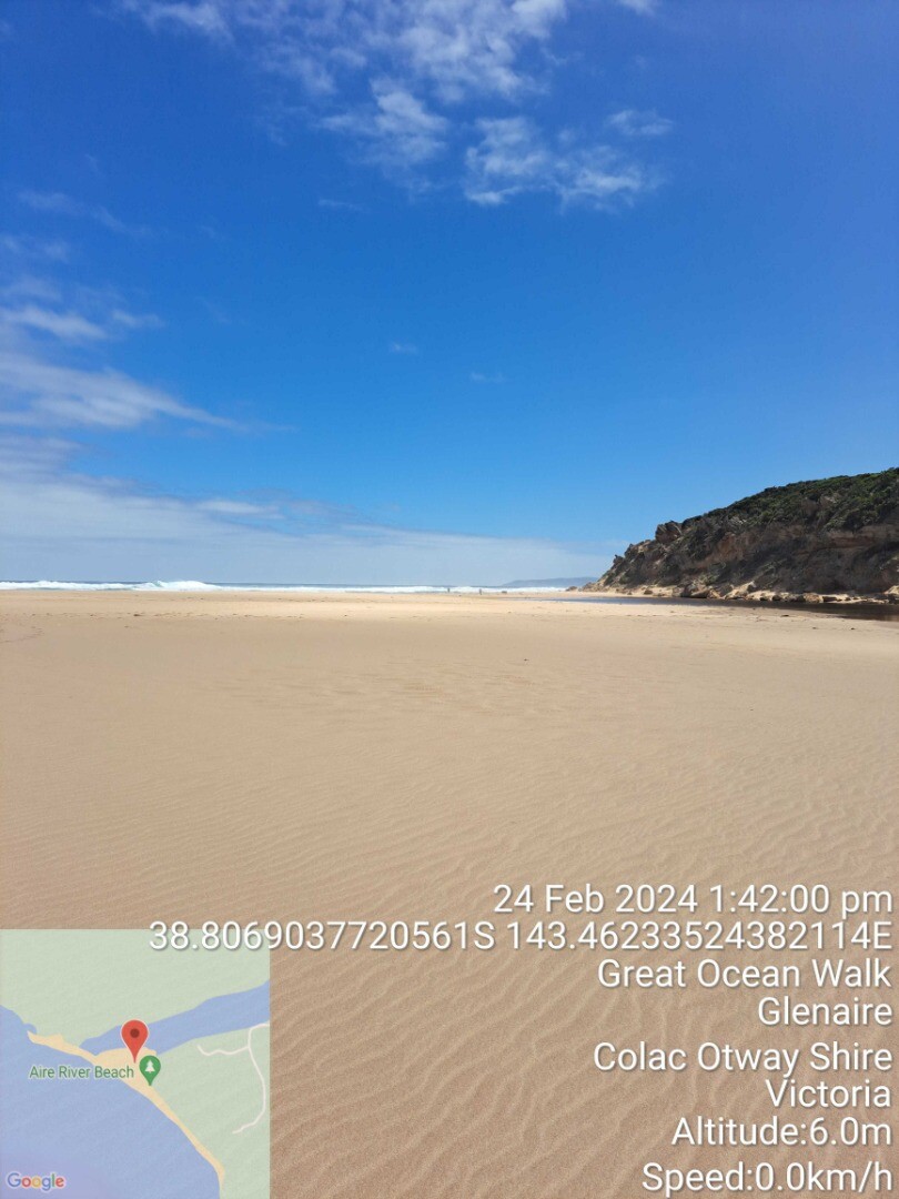
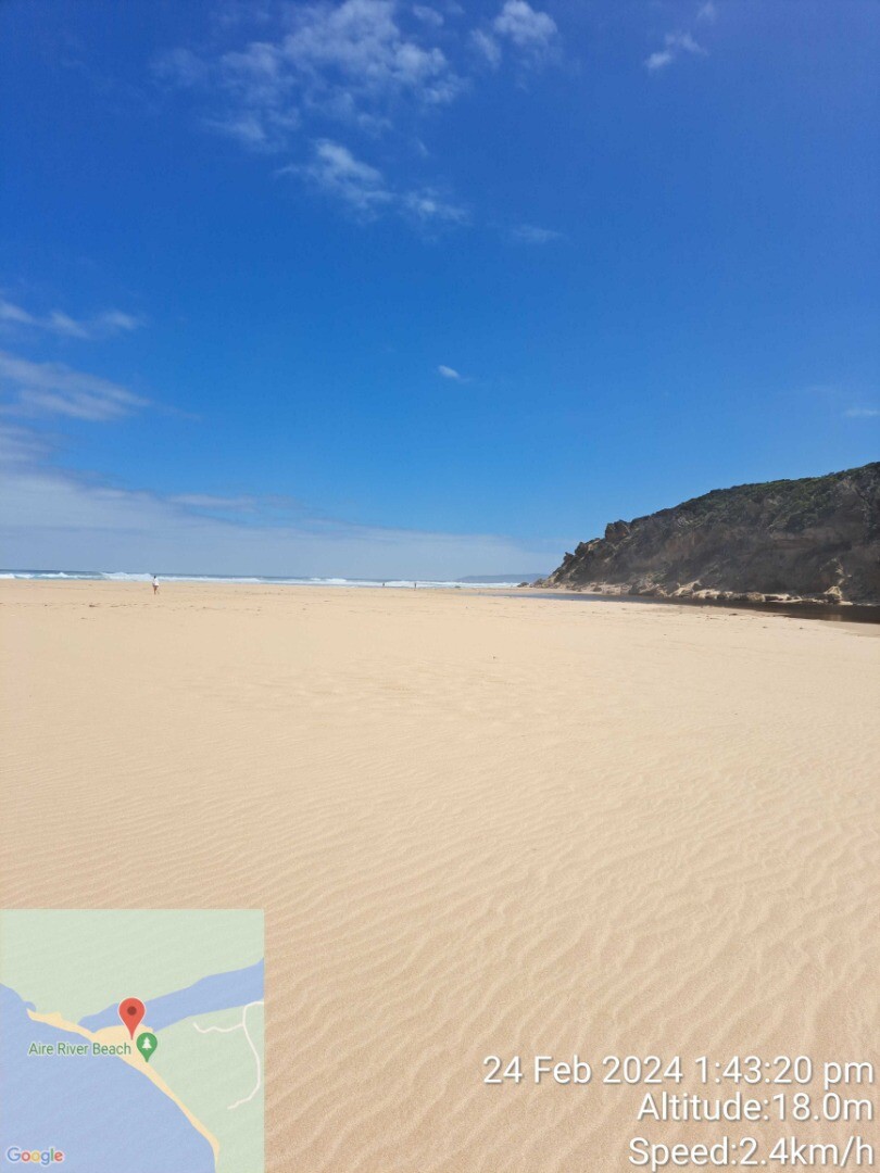
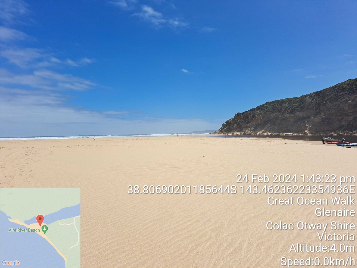
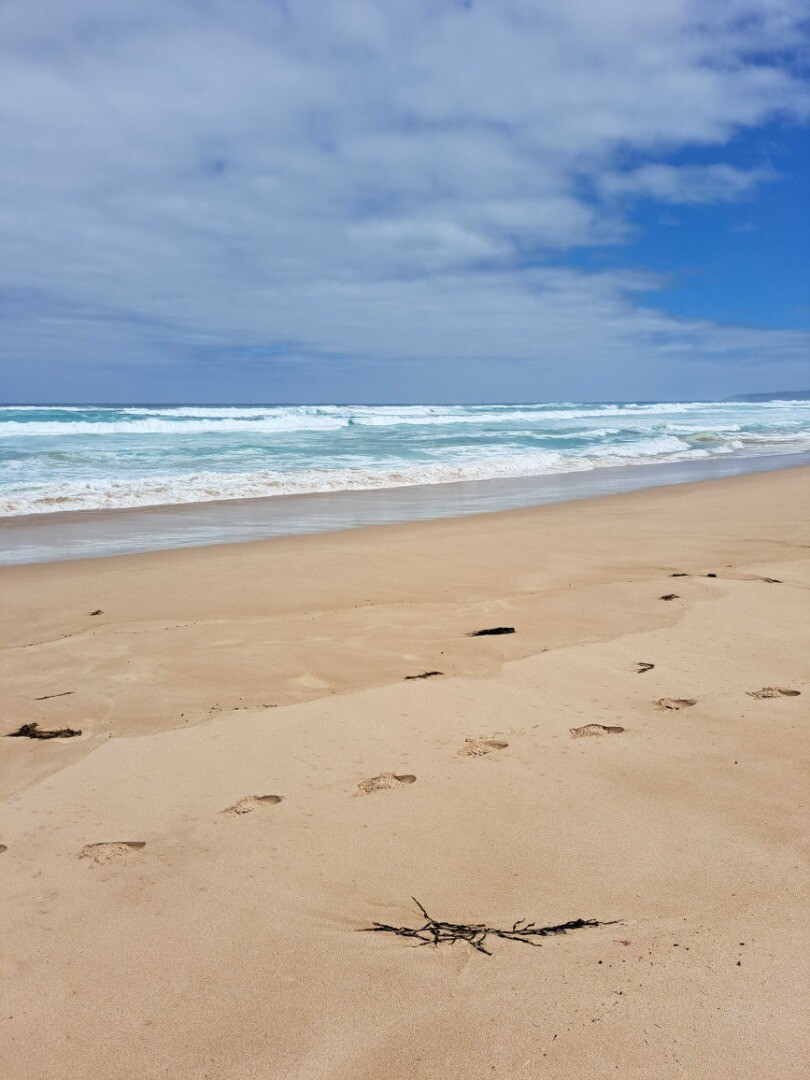
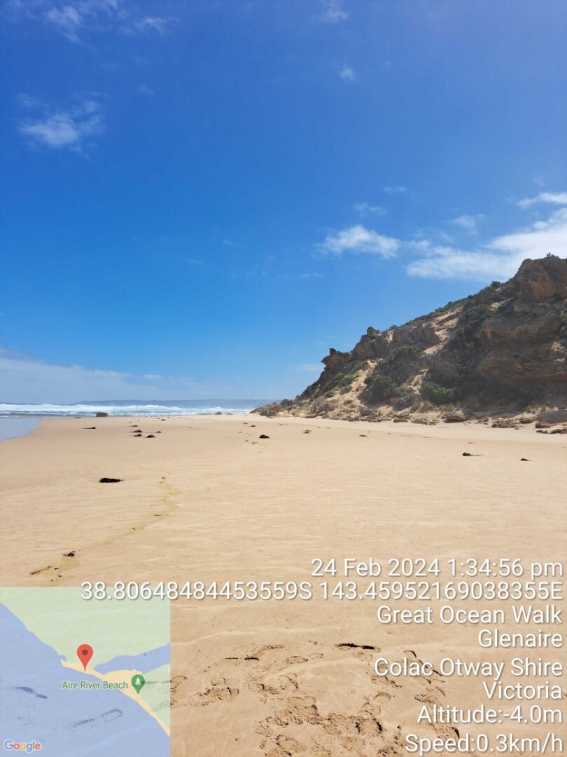
| 24 Feb 2024 | Approved |
Notes:
Access track blocked by high river level |


We honour Elders past and present whose knowledge and wisdom has ensured the continuation of culture and traditional practices.
 All content, files, data and images provided by the EstuaryWatch Data Portal subject to a Creative Commons Attribution License
Data portal by CeRDI
All content, files, data and images provided by the EstuaryWatch Data Portal subject to a Creative Commons Attribution License
Data portal by CeRDI