Aire River Estuary
Corangamite CMA
DOWNLOAD DATAOverview
Active Aire EstuaryWatch
The Aire River originates in the high rainfall Otway Ranges to the west of Apollo Bay in Victoria, and has been identified in the Heritage Rivers Act 1992 as one of 18 Heritage River Areas in Victoria.
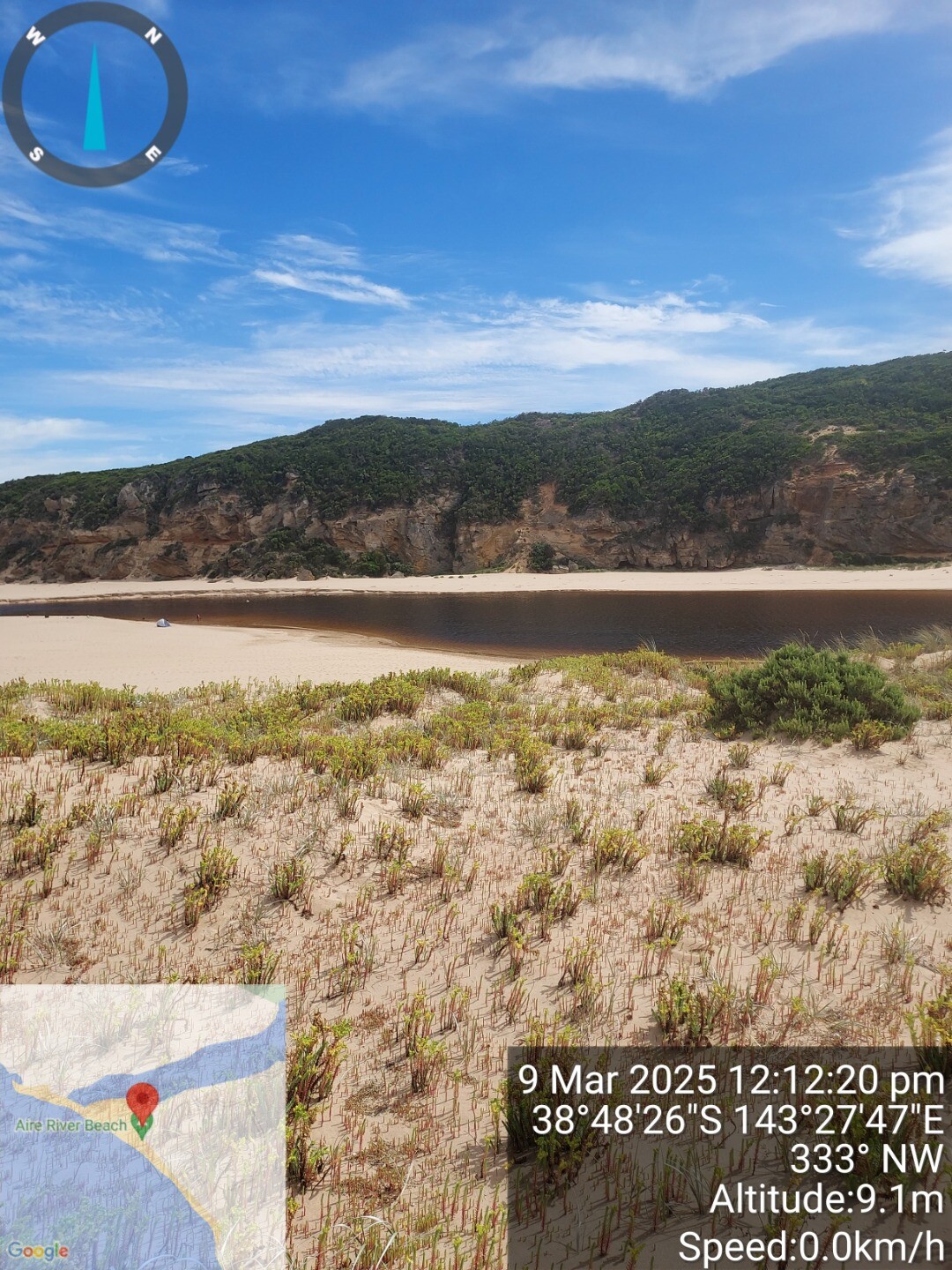
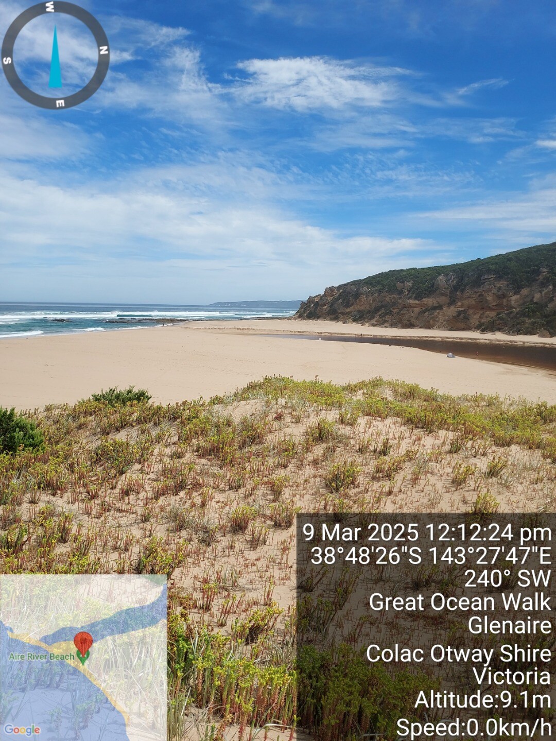
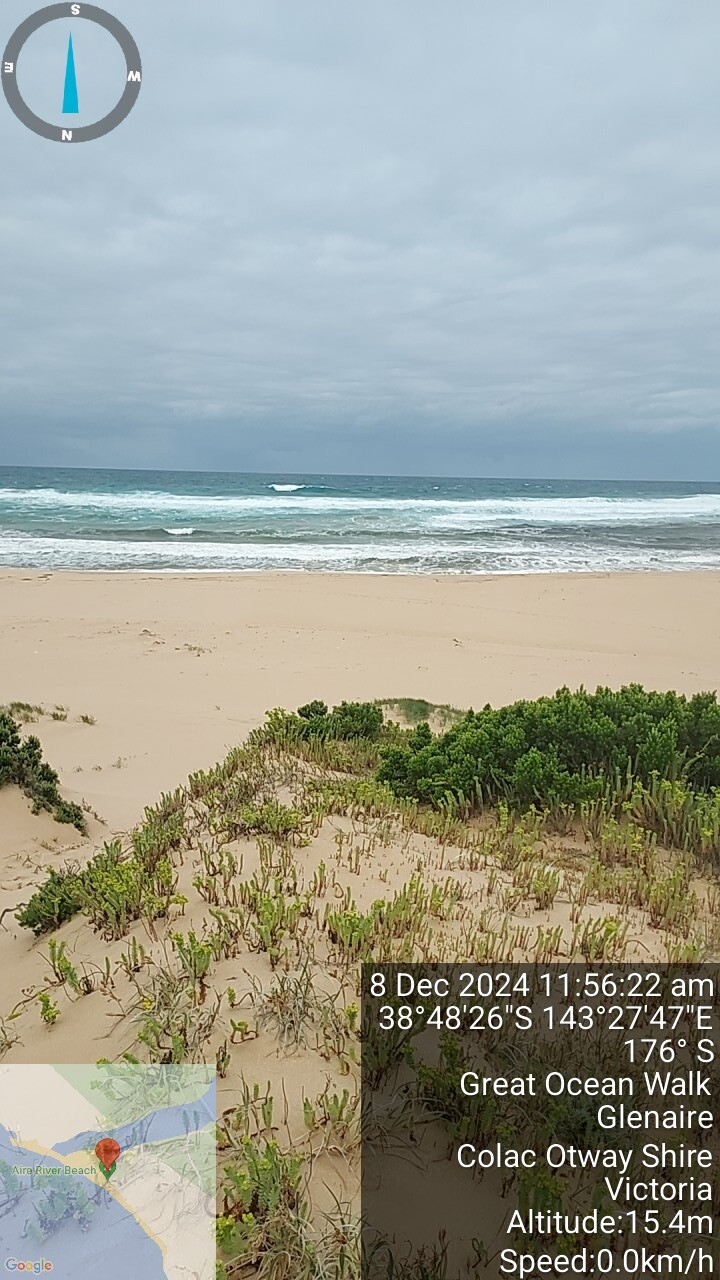
The Aire River is one of the largest rivers in south-western Victoria and enters the sea via a large estuarine lake complex west of Cape Otway. The Aire valley is a floodplain of the combined Aire, Calder and Ford river systems. These rivers coalesce before flowing out to sea at the Aire River mouth. The valley consists of private agricultural land, a wildlife reserve, and the Otway National Park including a natural lake and wetland system.
Map
Estuary Values
The Aire valley is home to a number of rare and threatened species, significant Ecological Vegetation Classes (EVCs) and is recognised for its recreational values including camping, fishing, picnicking, sightseeing, walking tracks, game hunting and motor and
non-motor boating.
Estuary Threats
Threats include: Agricultural practices, modified flow regime through the artificial openings of the estuary, water quality issues, forestry practices, climate change, tourism, pest plants and animals.
Recent Events
Sites
Ai1 |
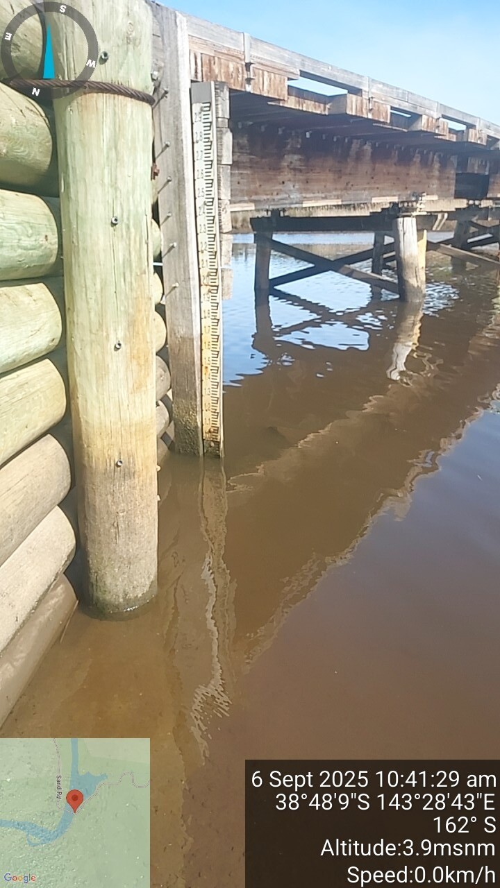
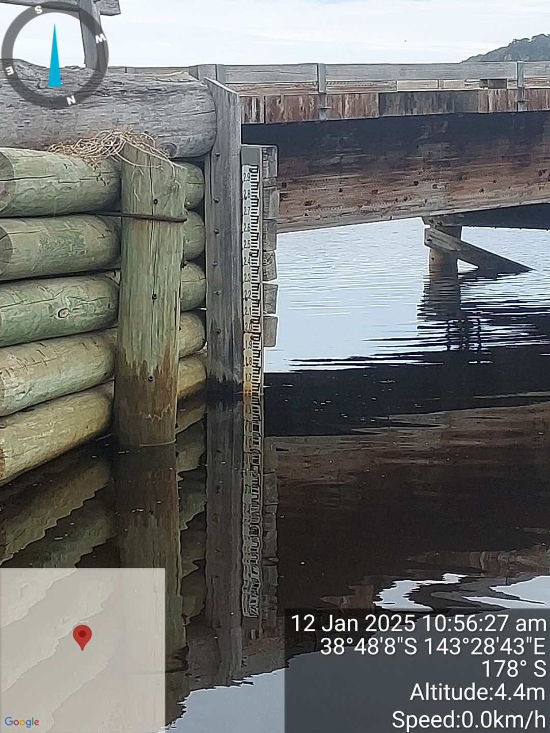
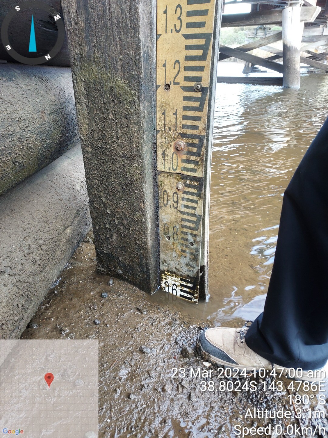
Sand Road BridgeActive Physico-Chemical 24-02-2024 - 06-09-2025Sampling from bridge Observations 19 |
Ai2 |
Fishing Jetty West BankActive Physico-Chemical 24-02-2024 - 06-09-2025Second fishing platform from bridge accessed from Sand Rd. Observations 18 |
AiMC |
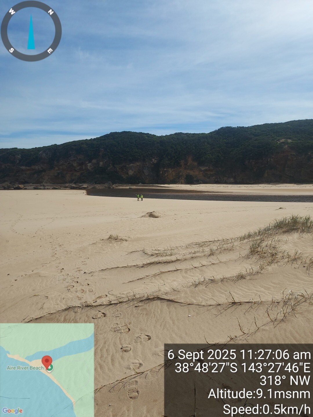
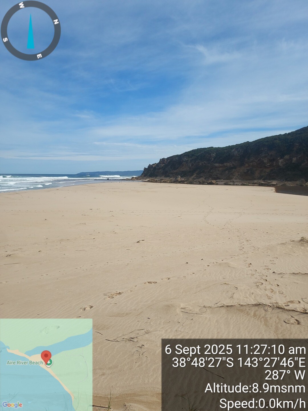
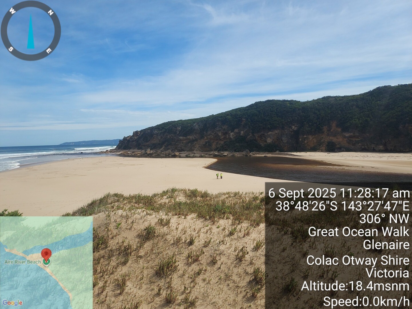
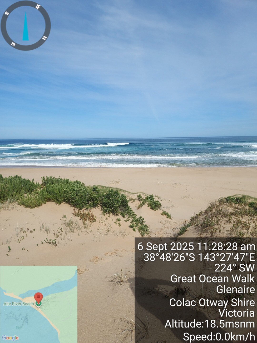
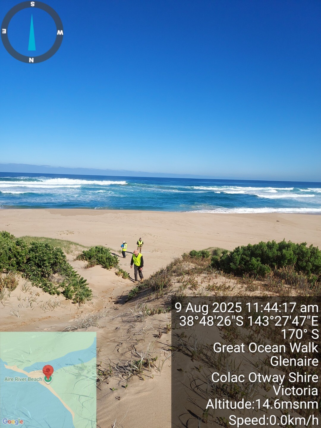
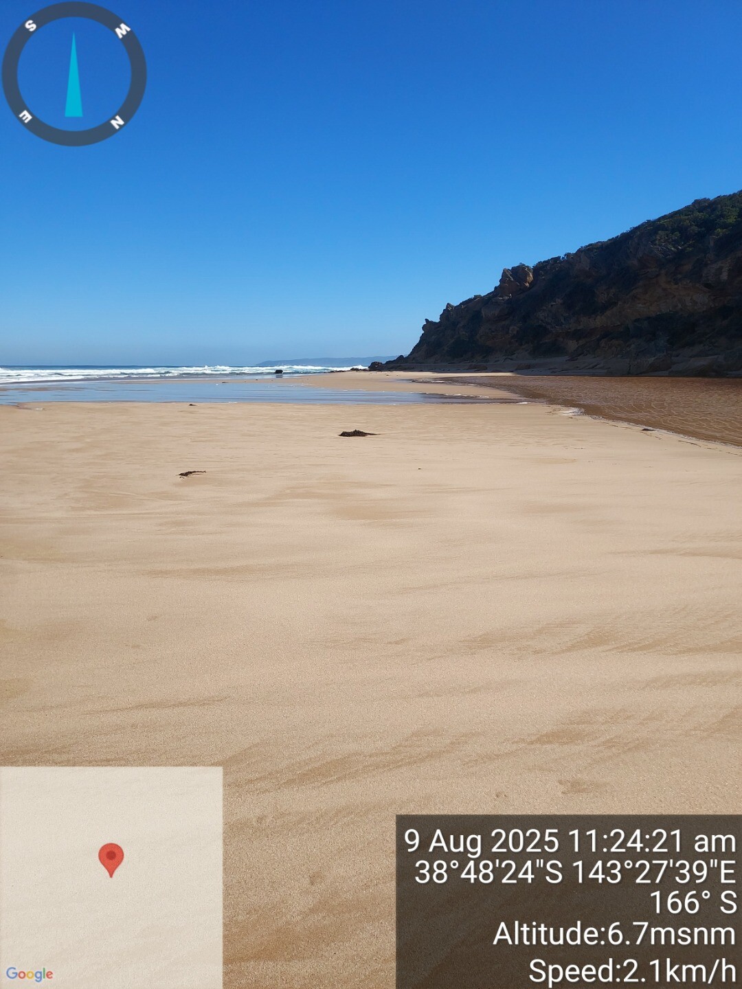
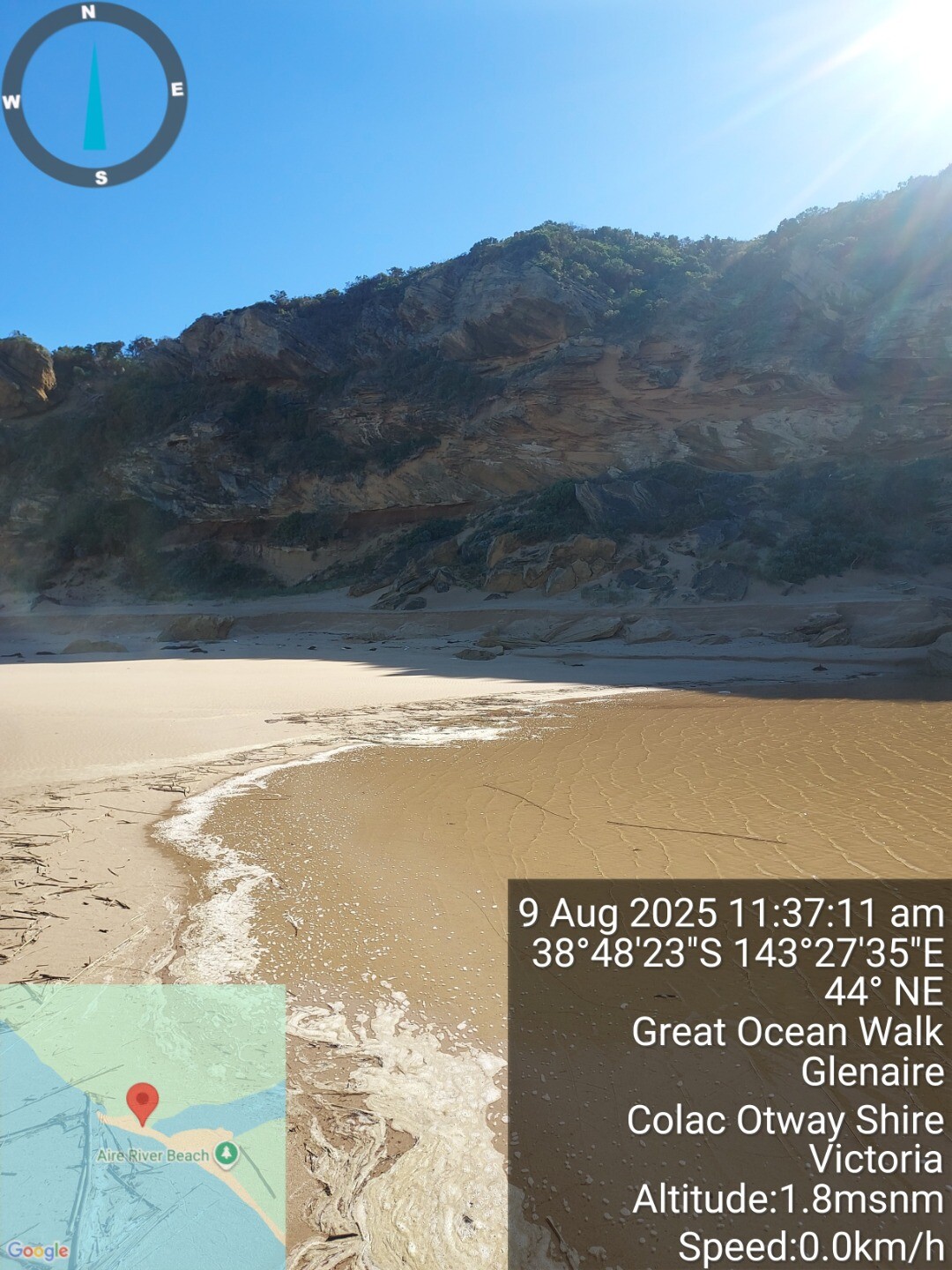
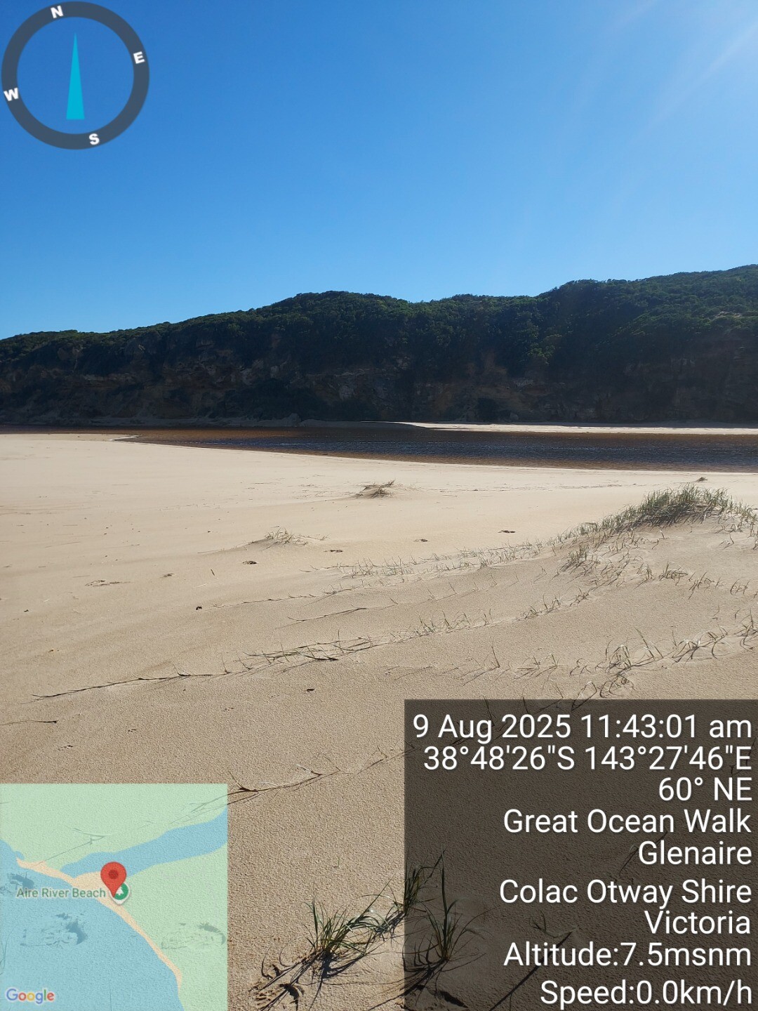
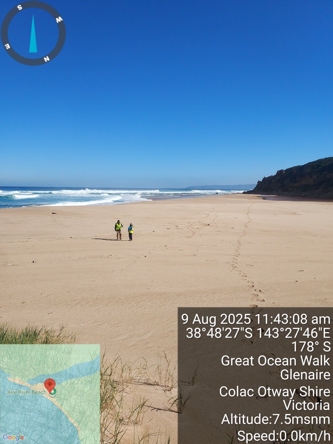
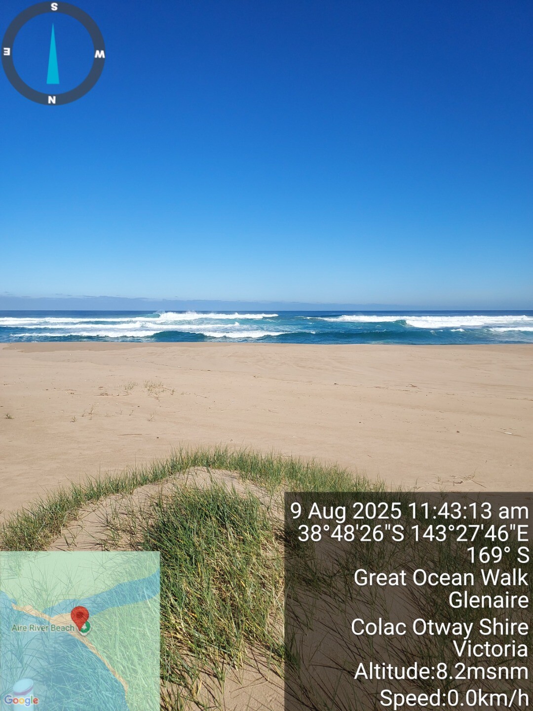
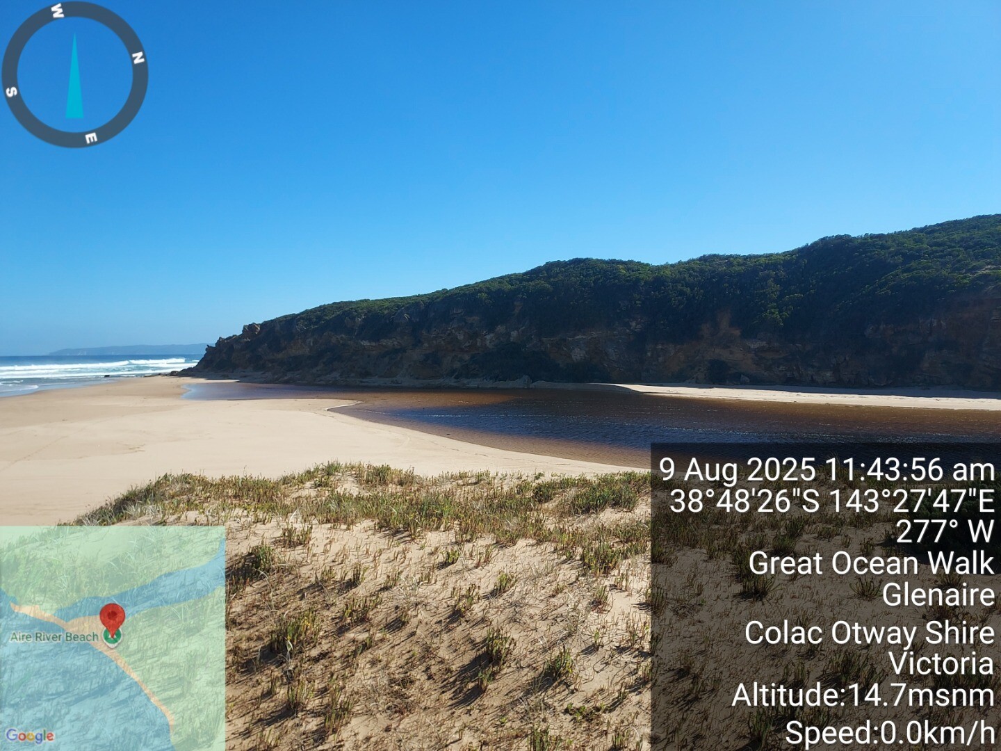
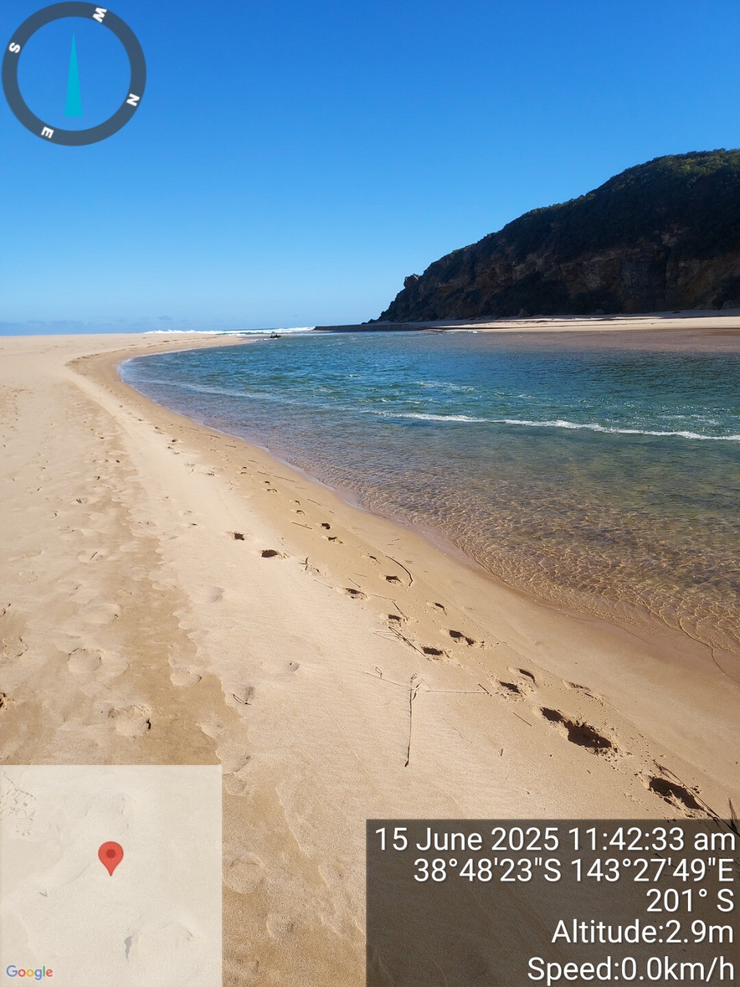
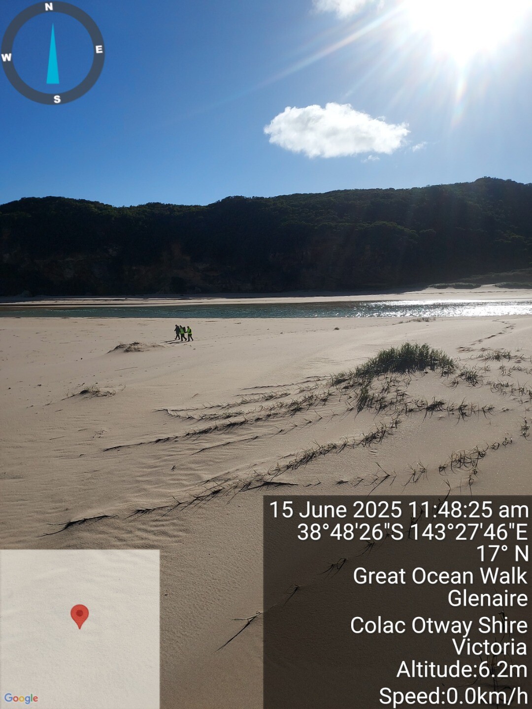
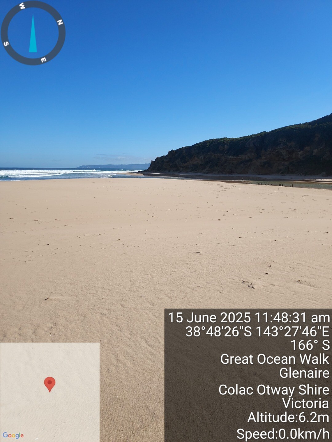
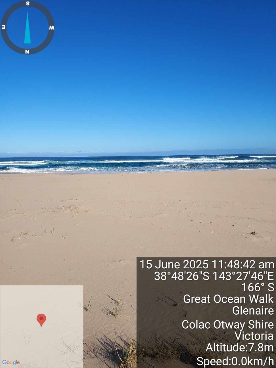
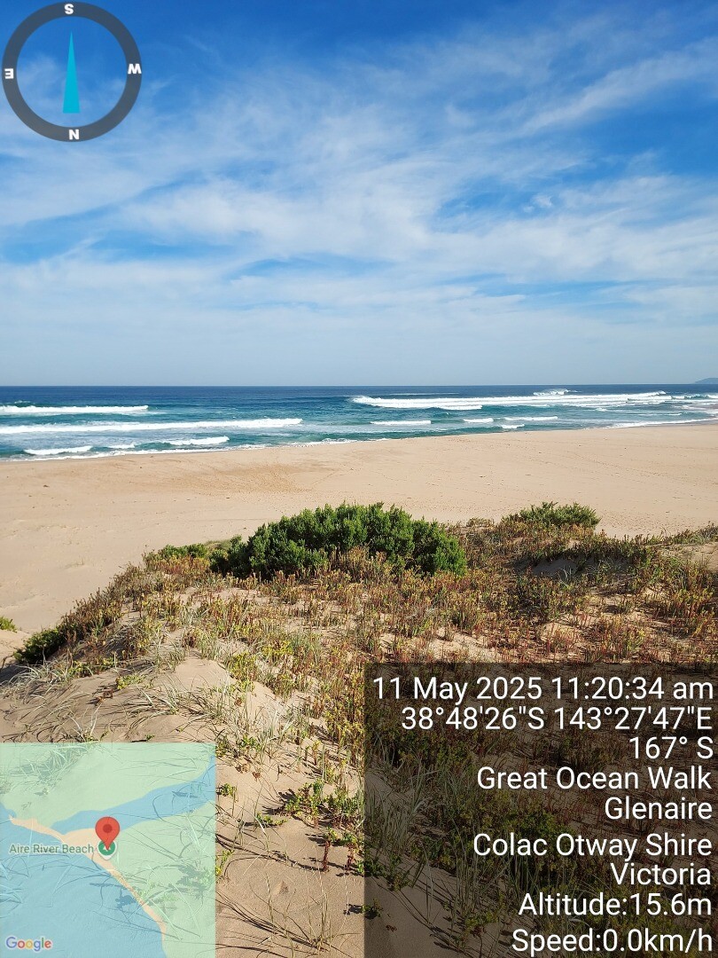
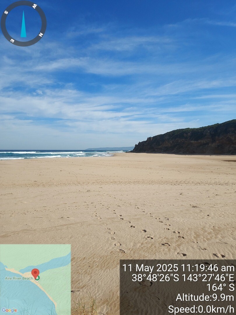
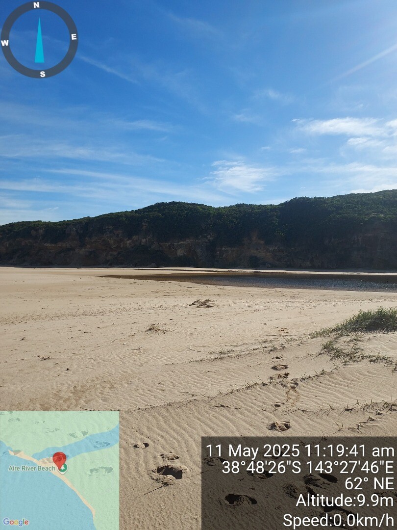
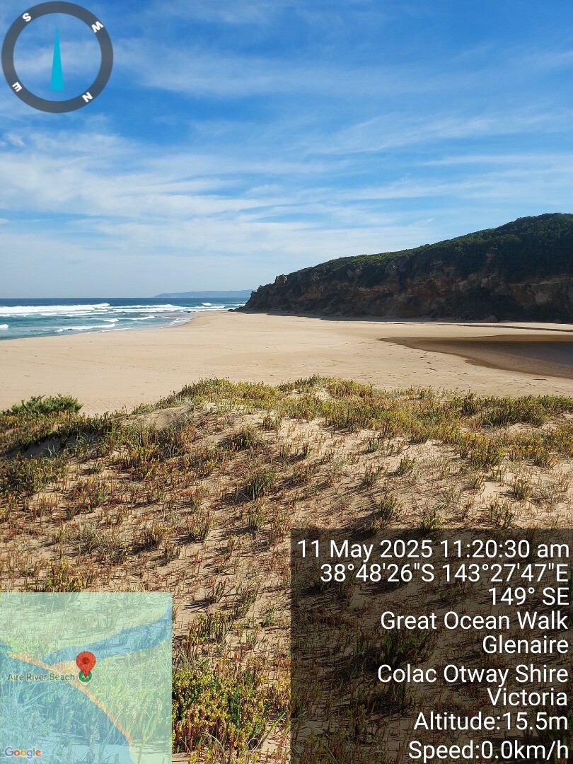
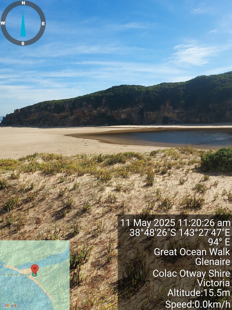
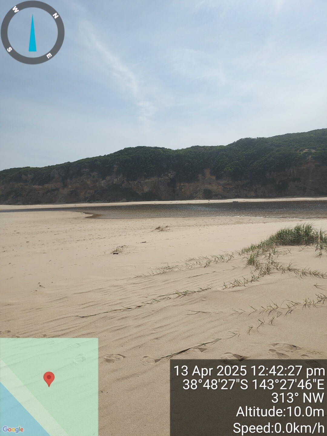
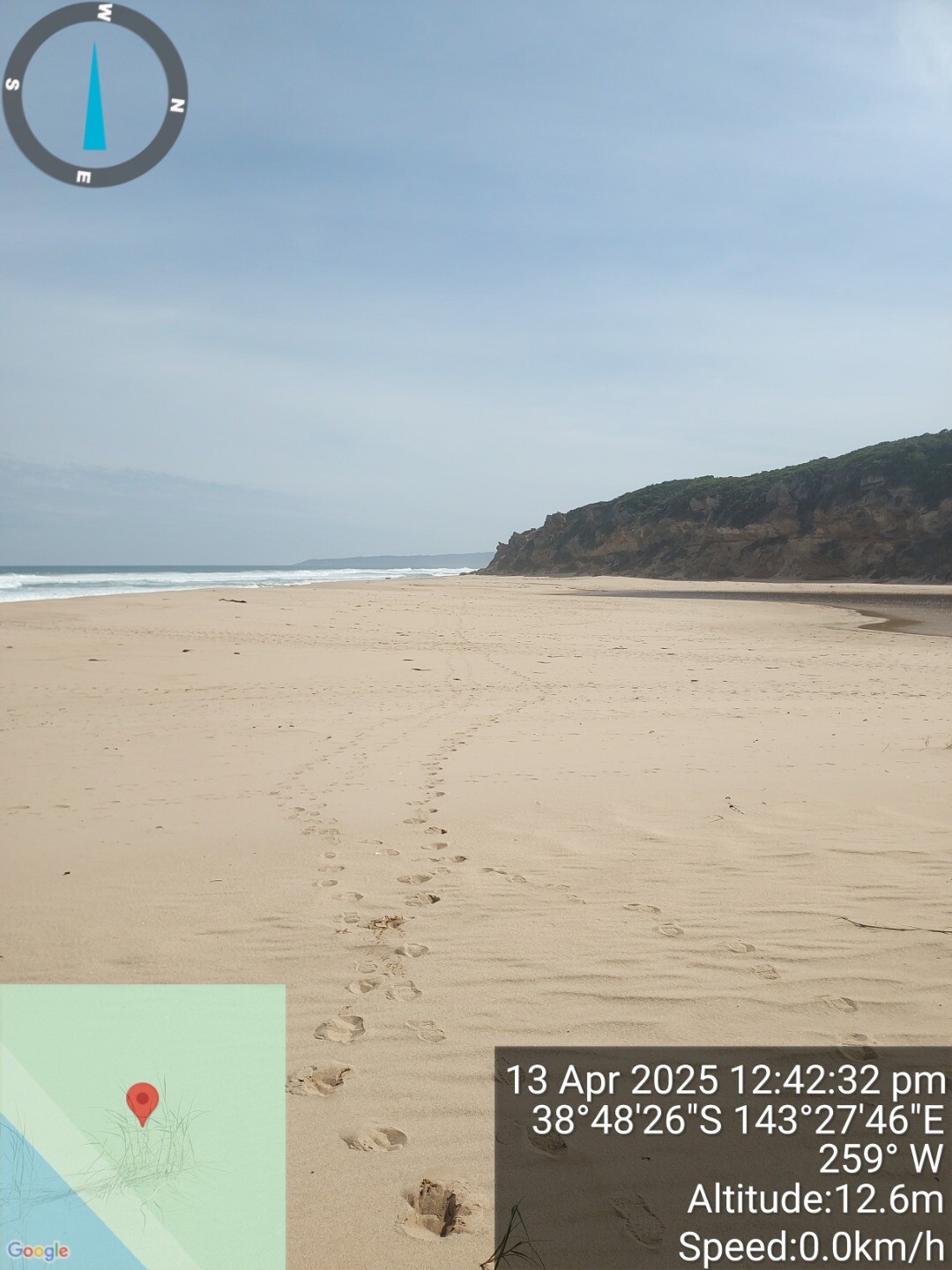
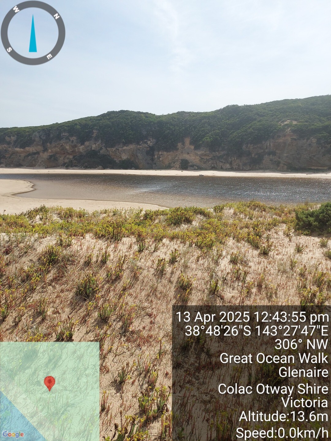
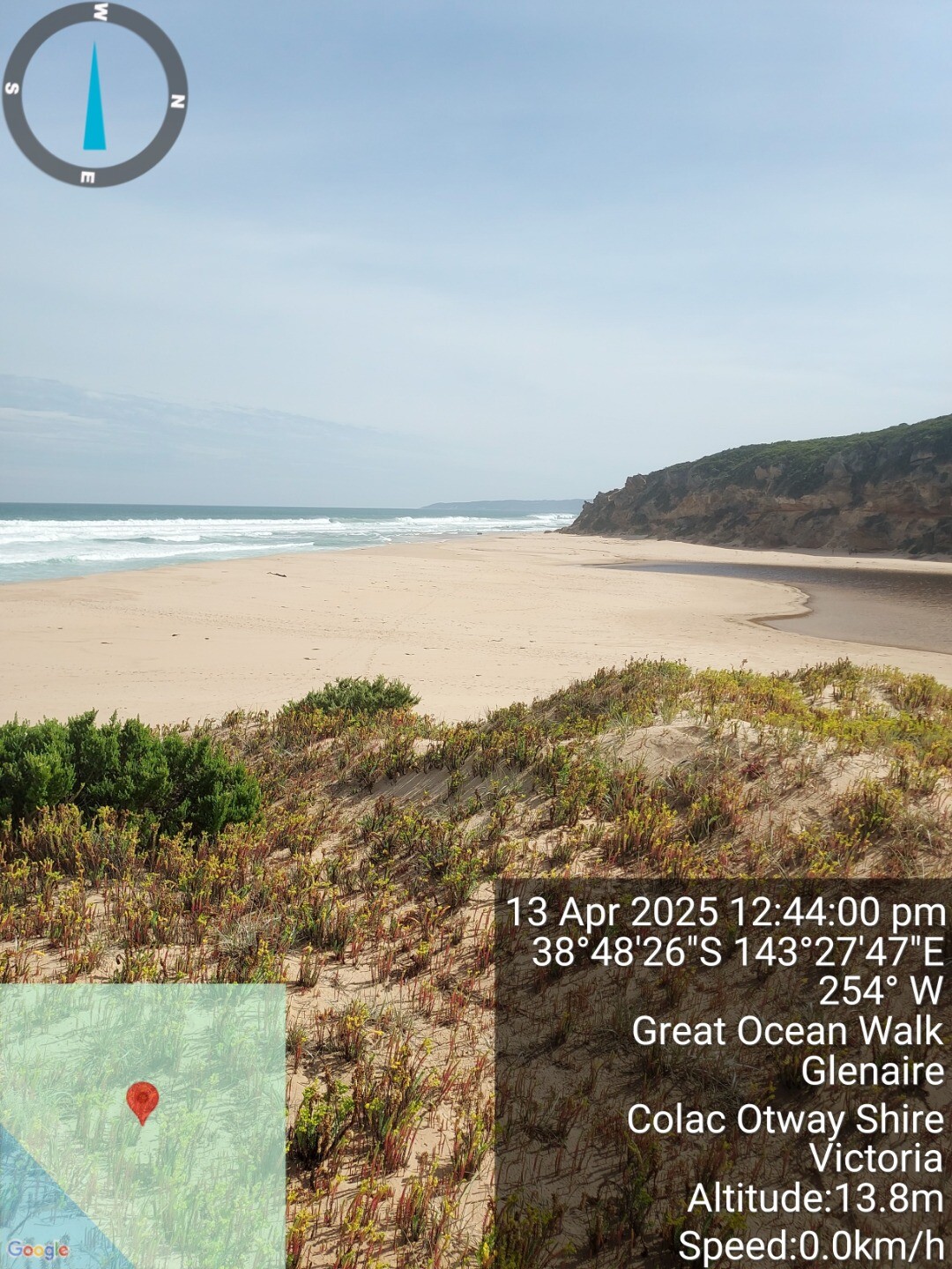
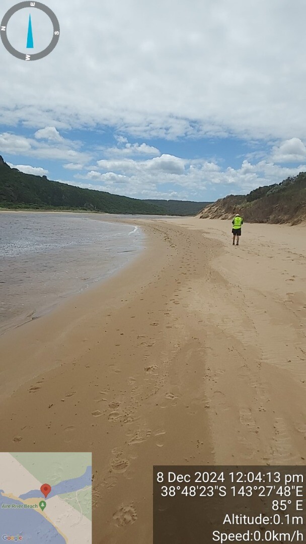
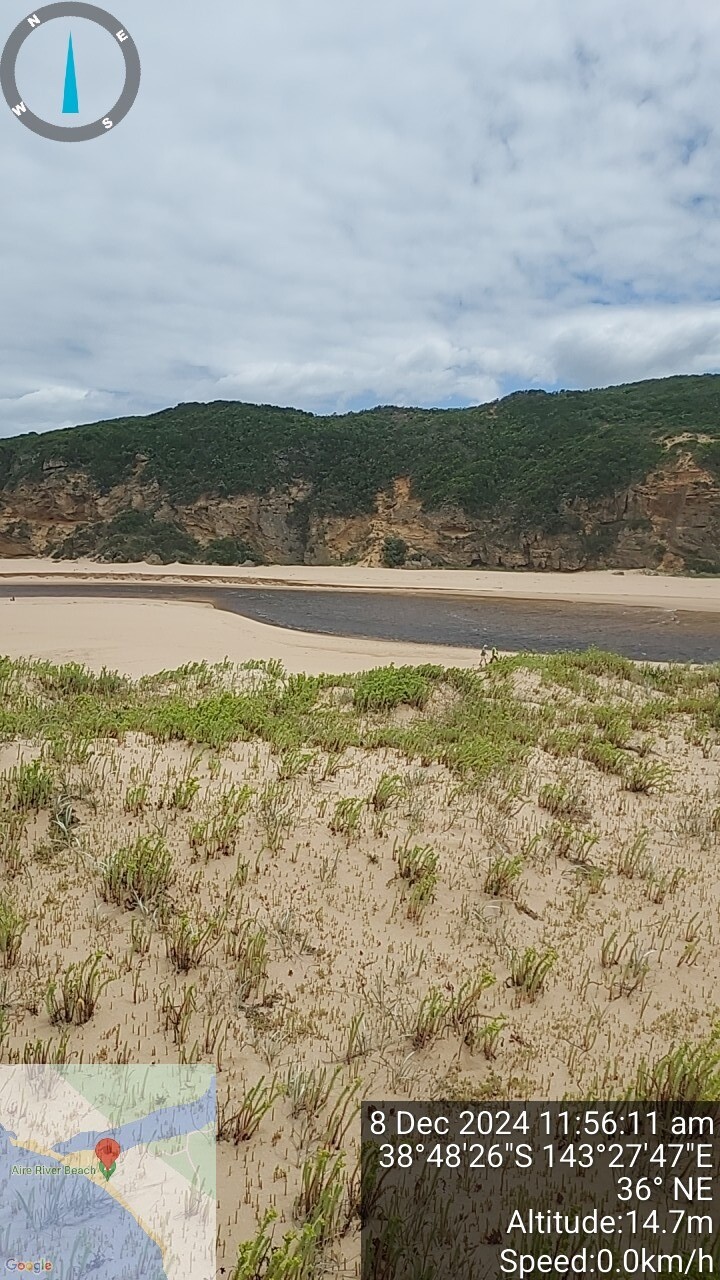
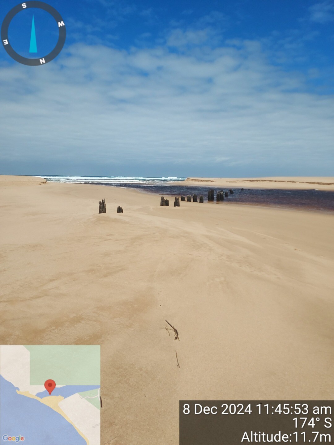
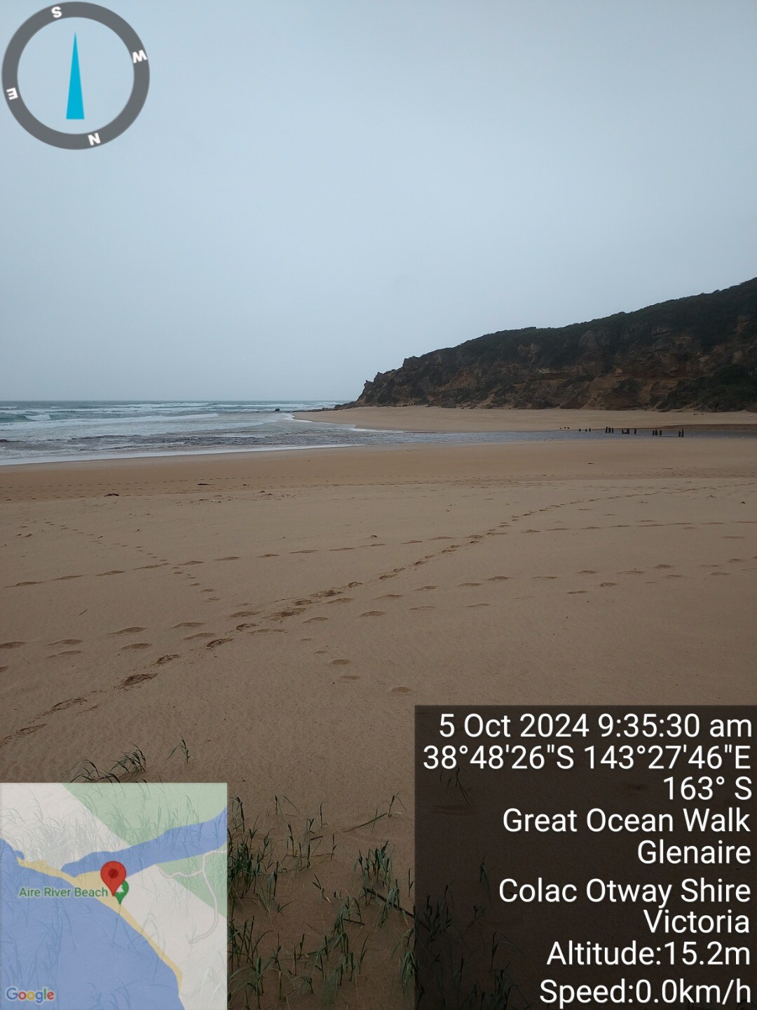
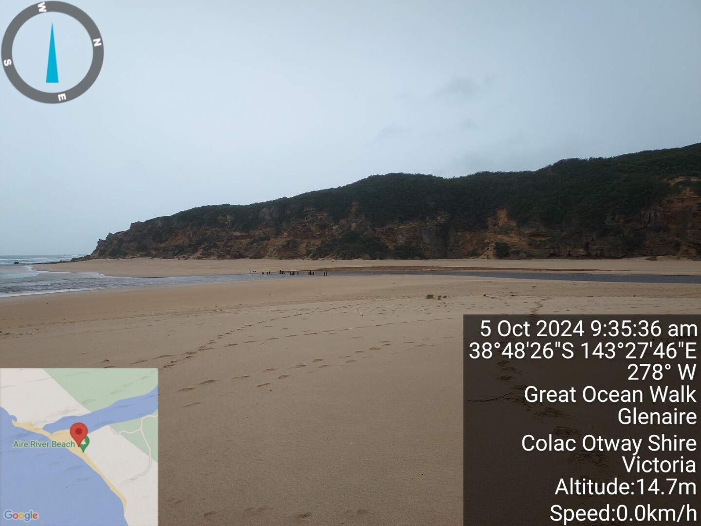
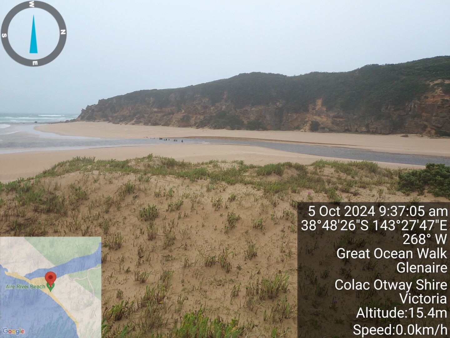
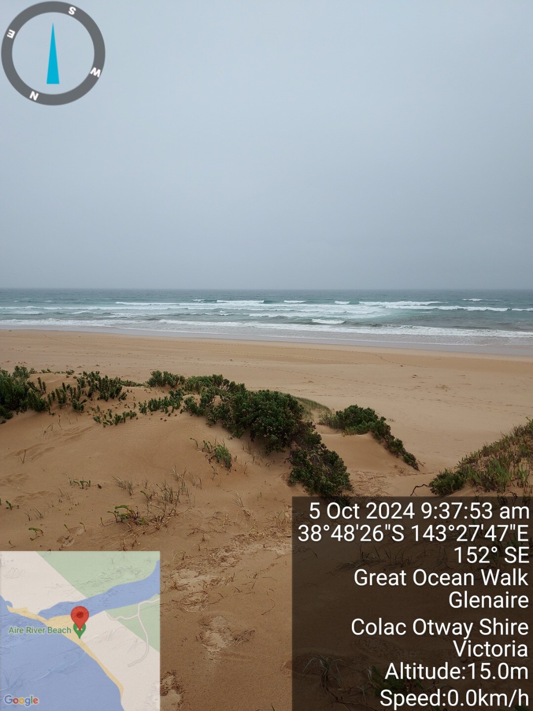
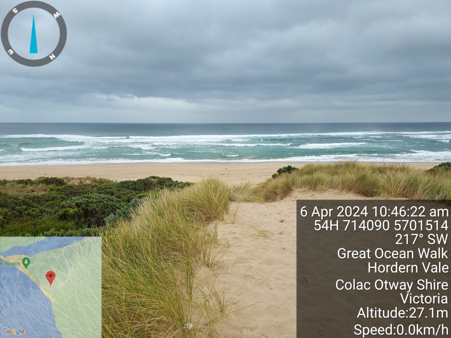
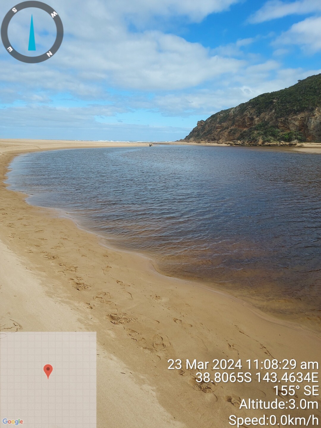
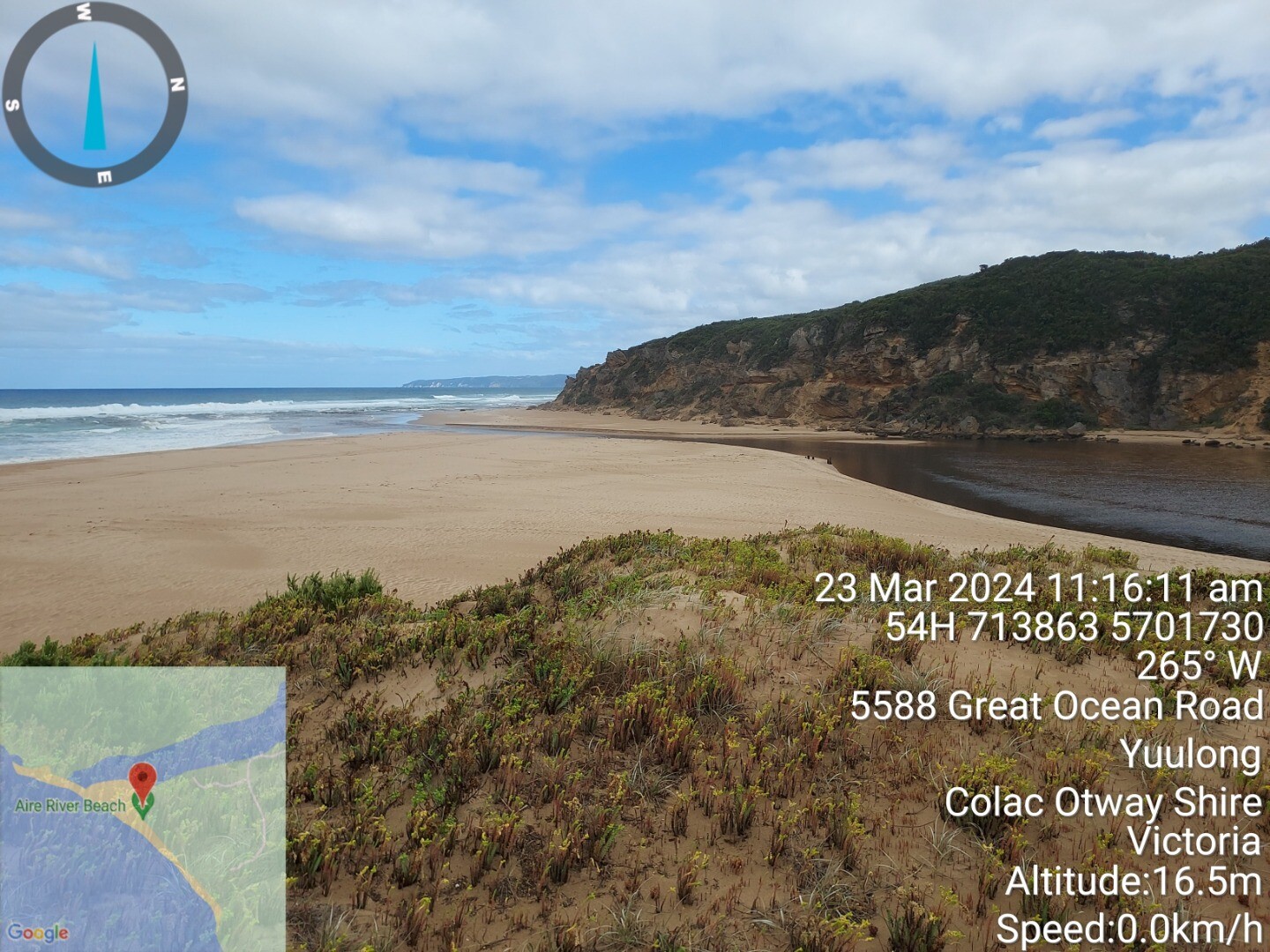
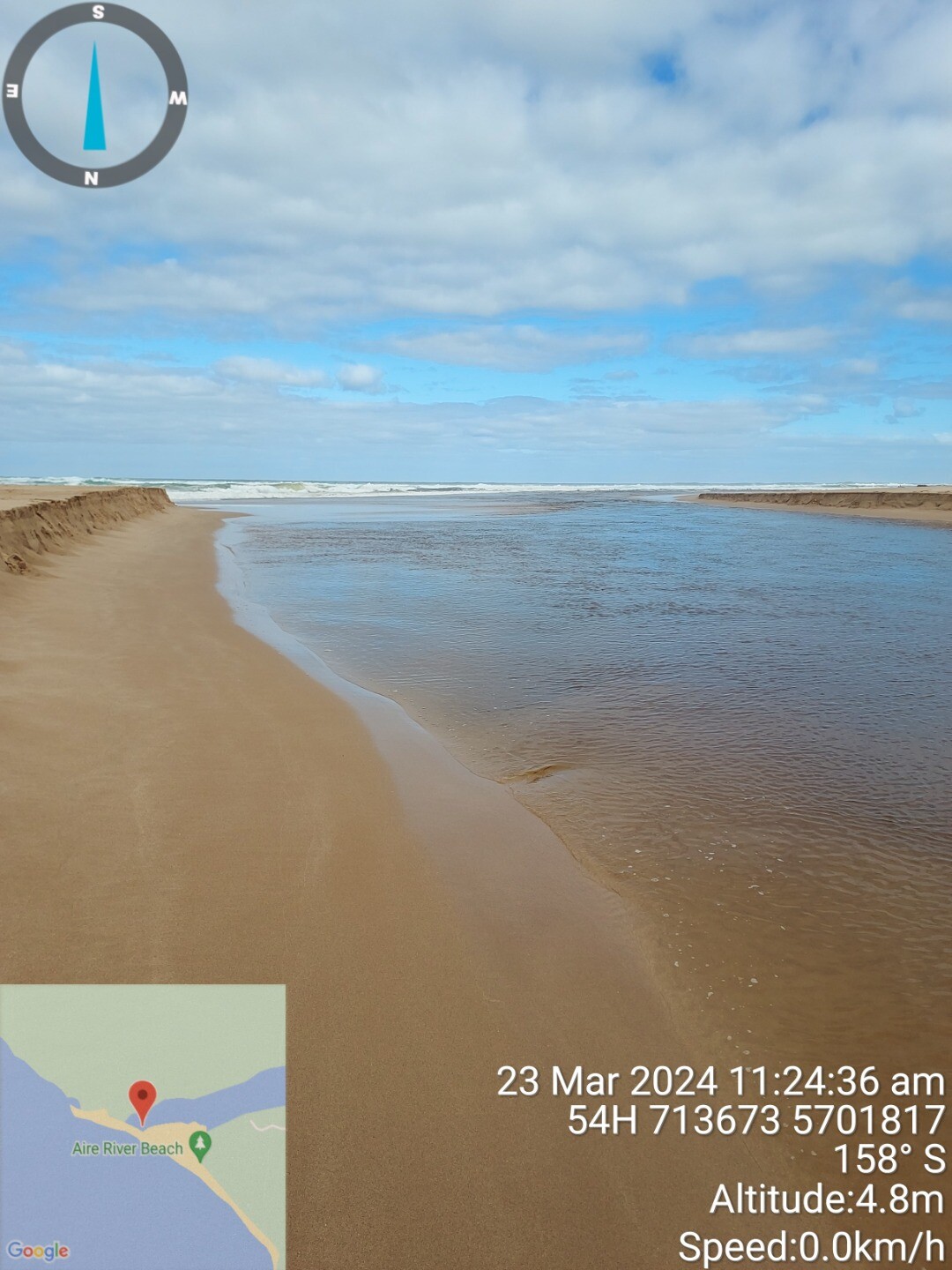
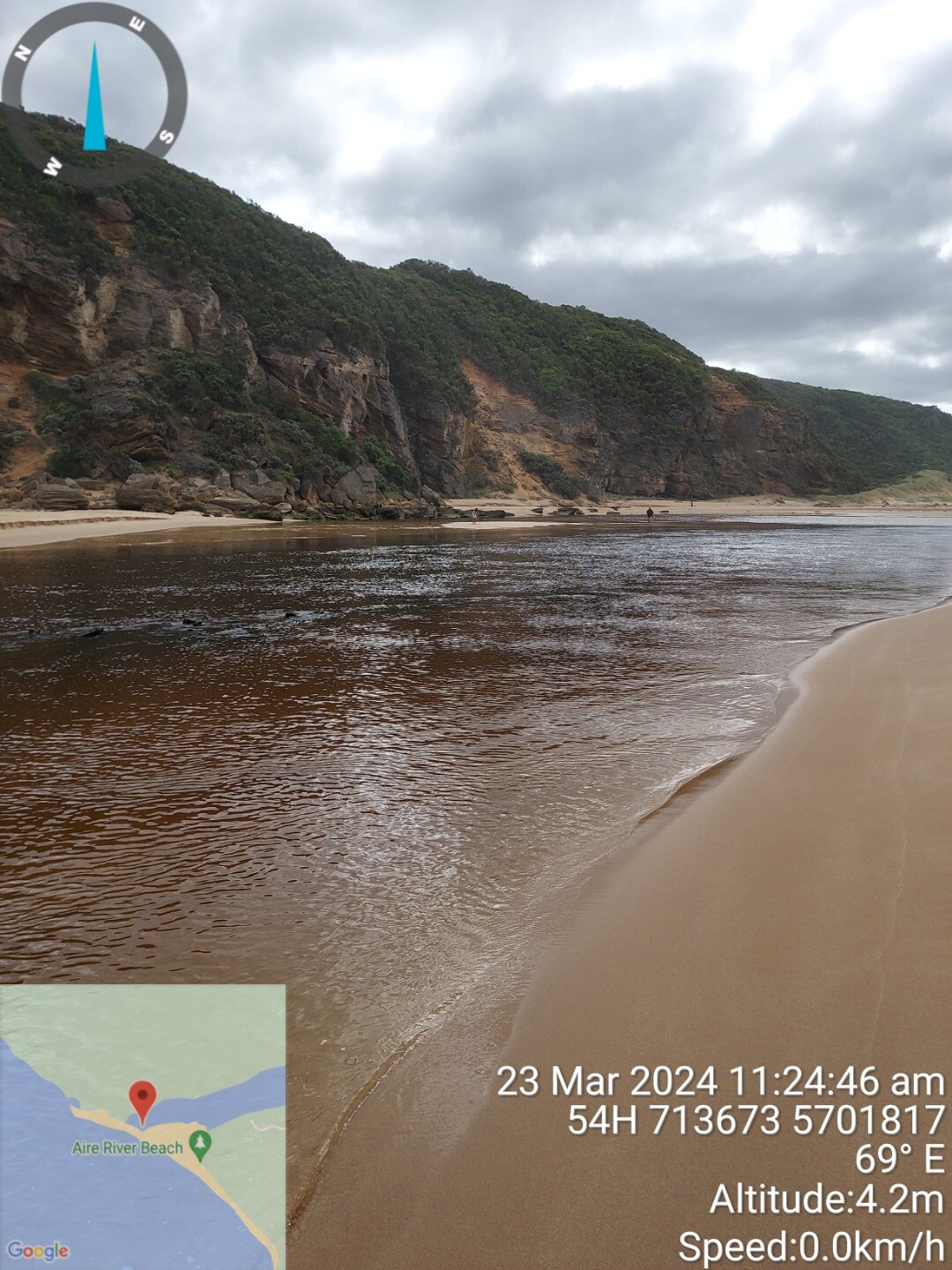
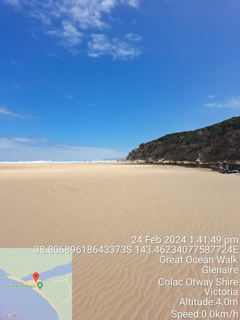
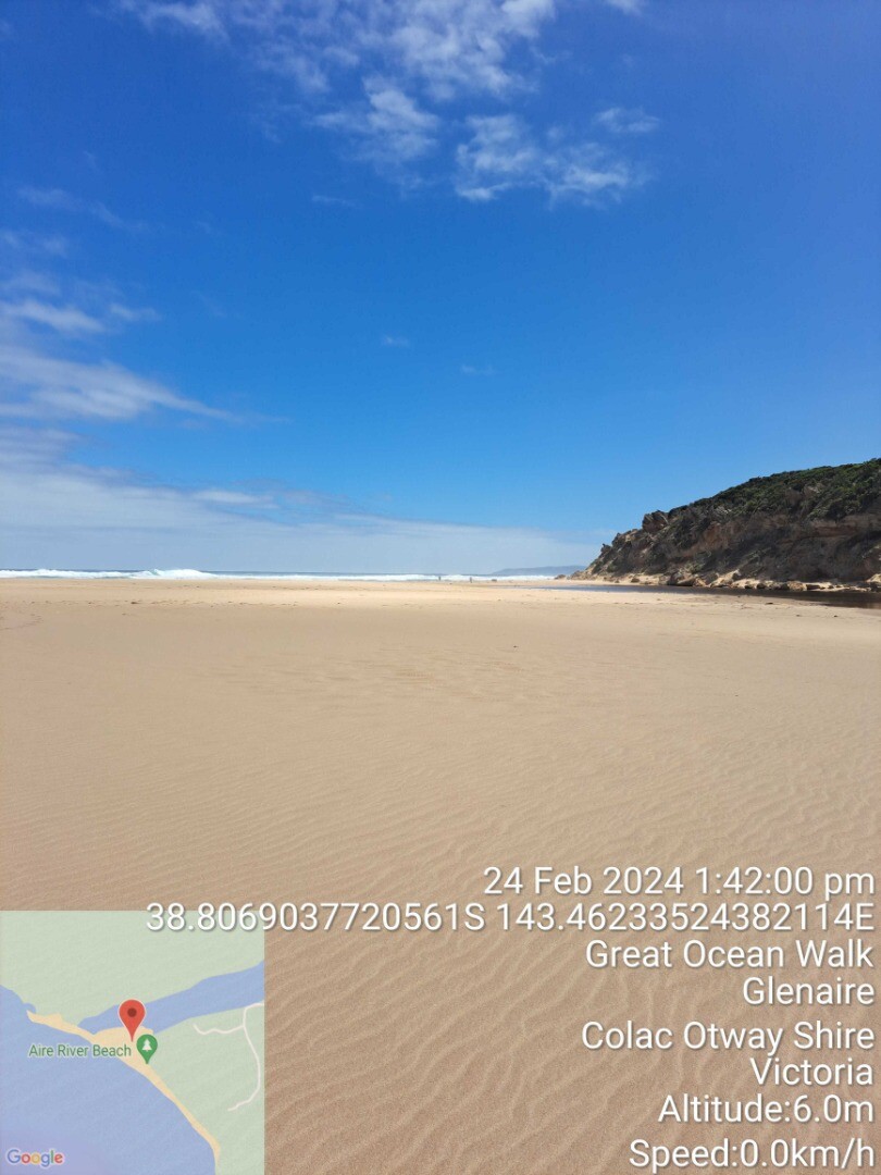
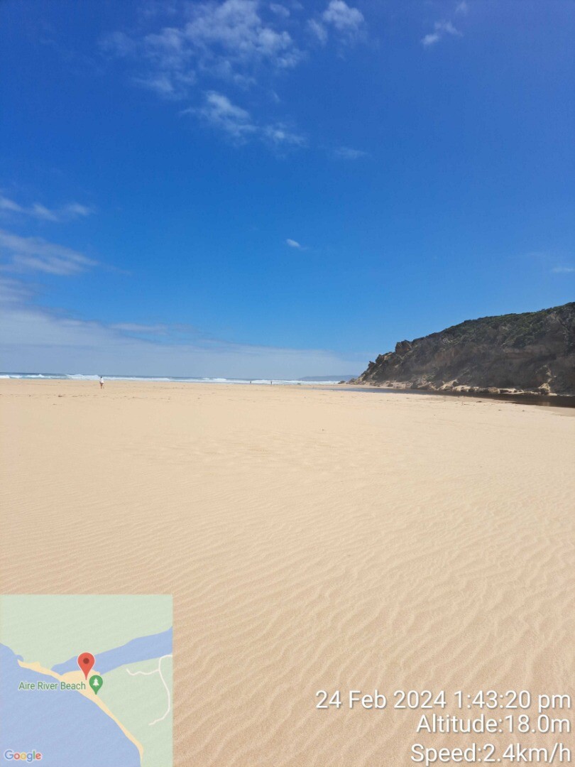
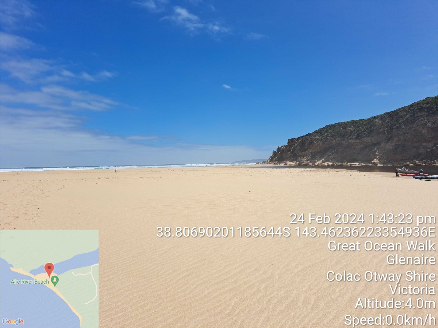
Aire River Mouth ConditionActive Mouth Condition 24-02-2024 - 06-09-2025Near beach access track at estuary mouth. Observations 19 |
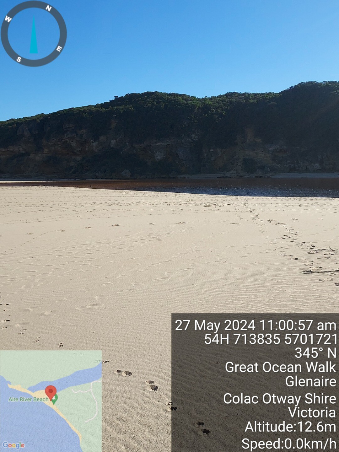
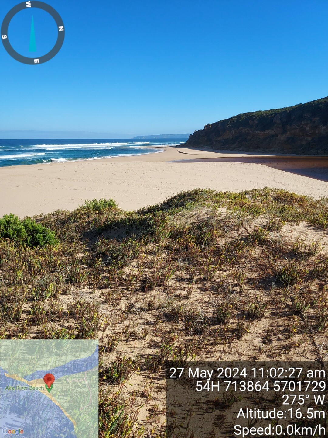
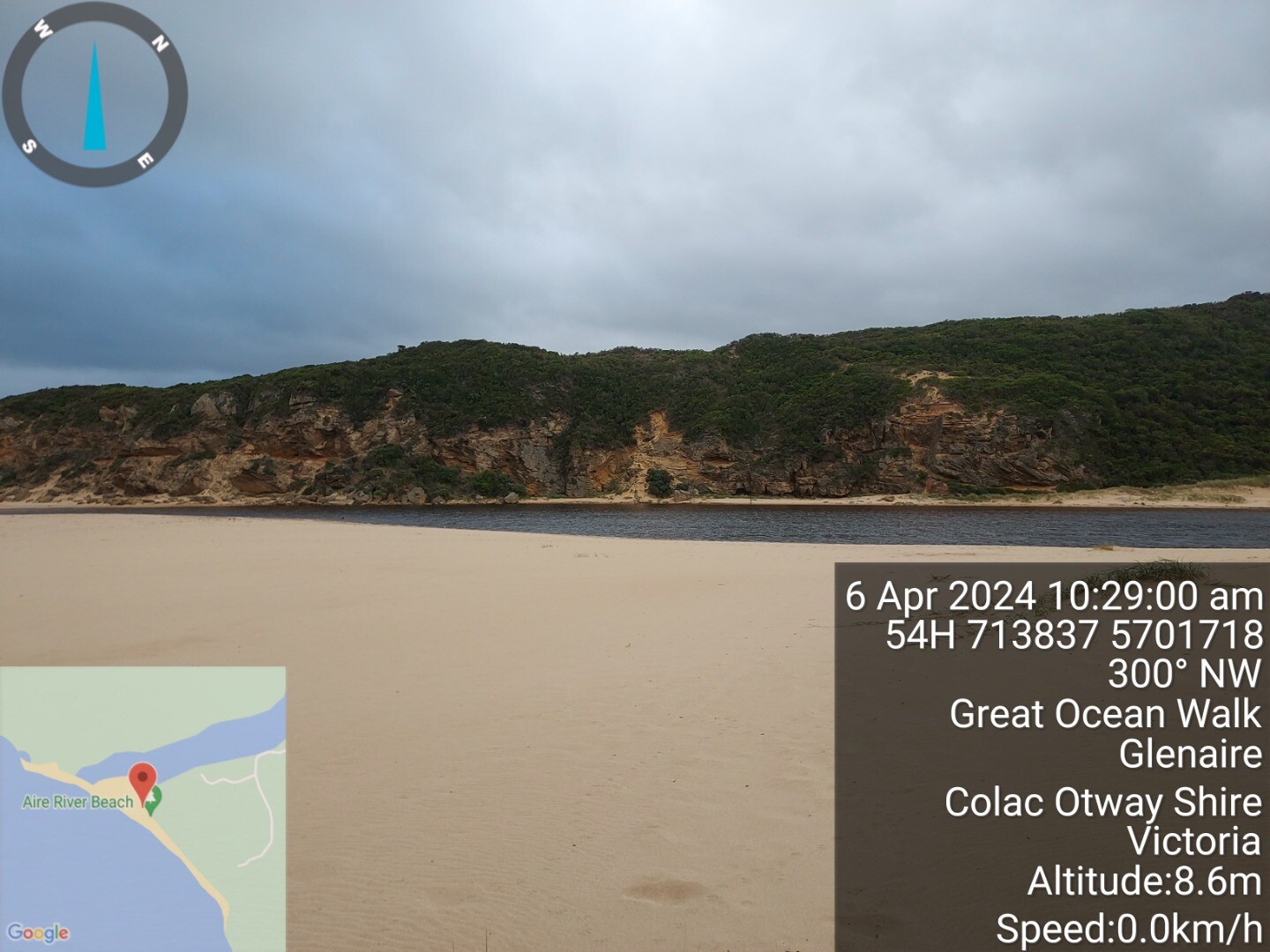
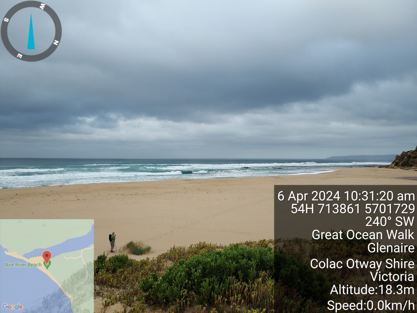
AiP1 |
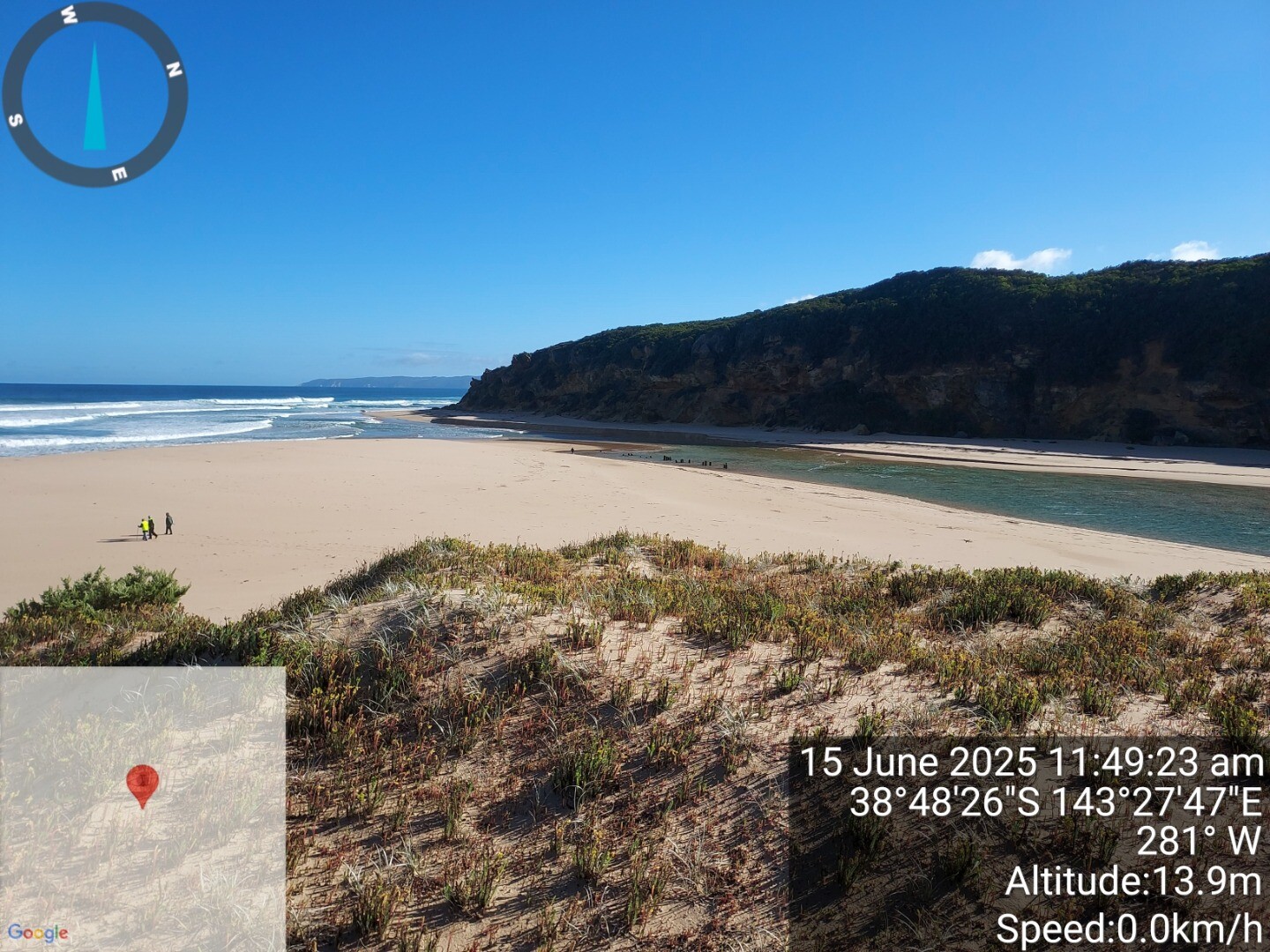
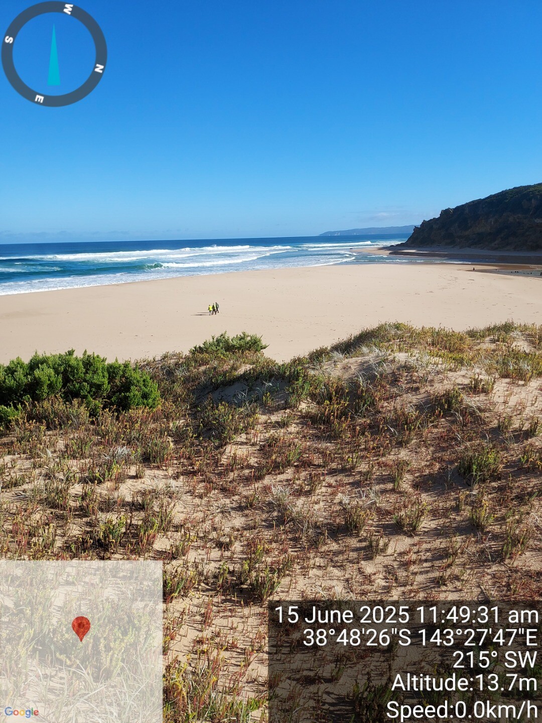
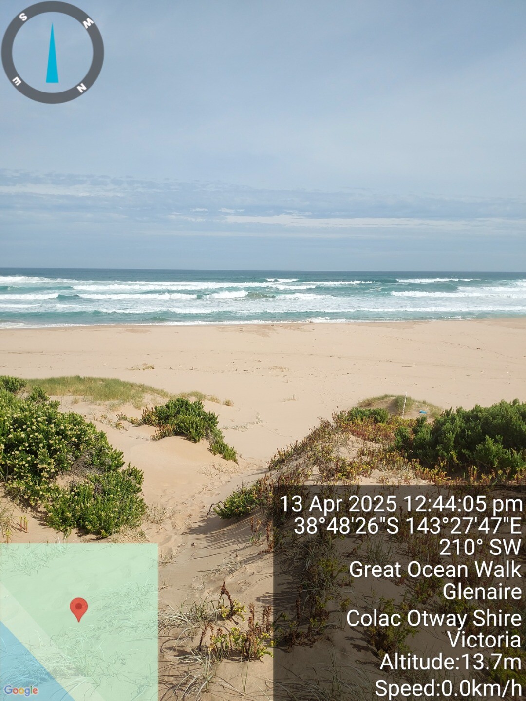
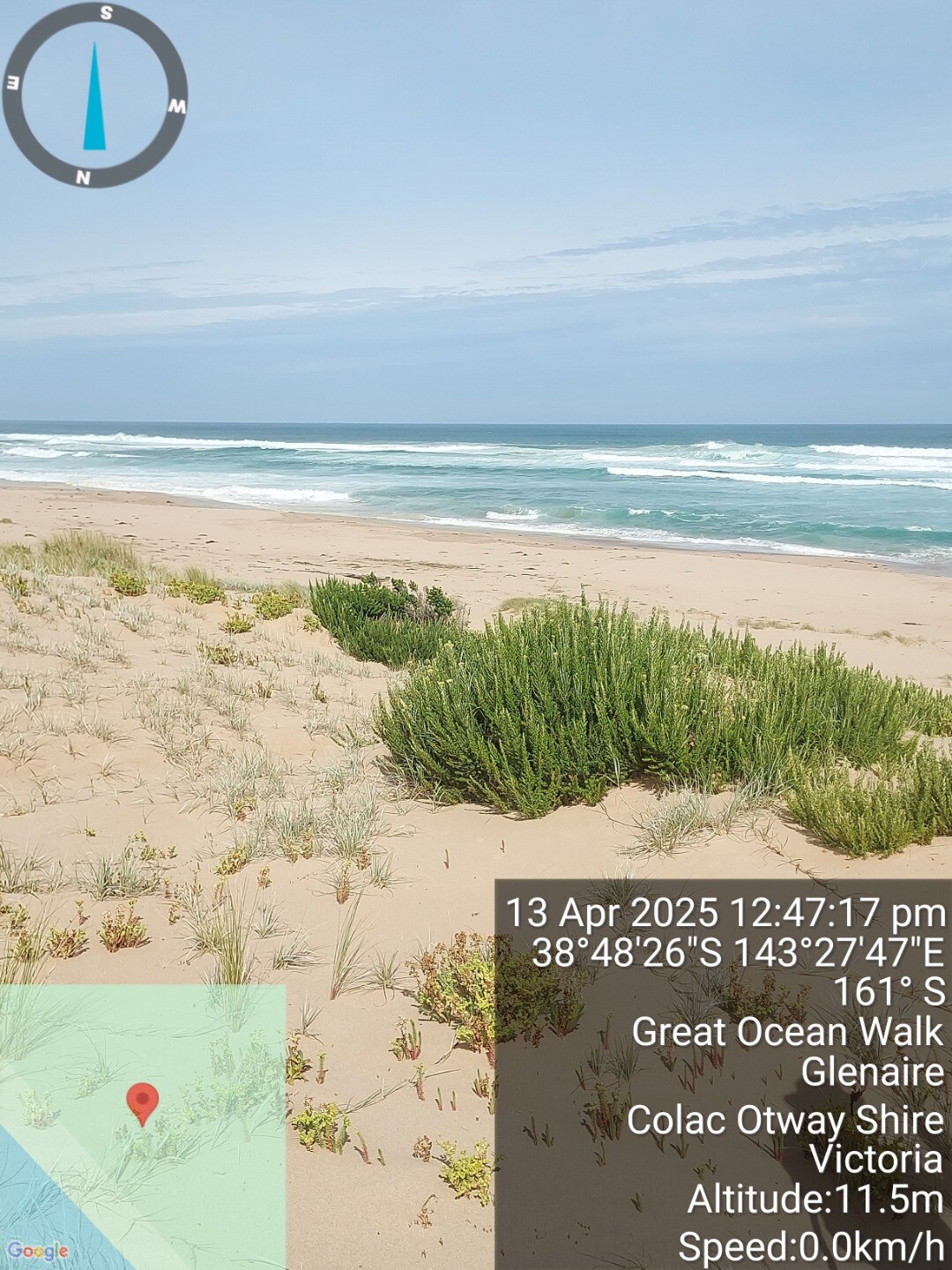
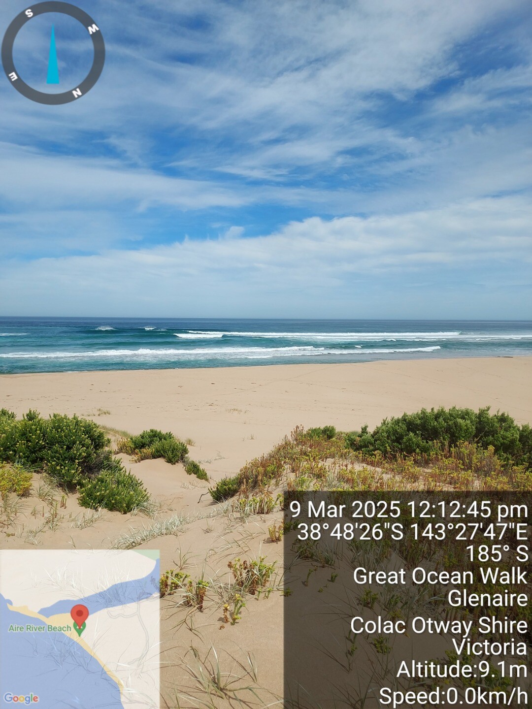
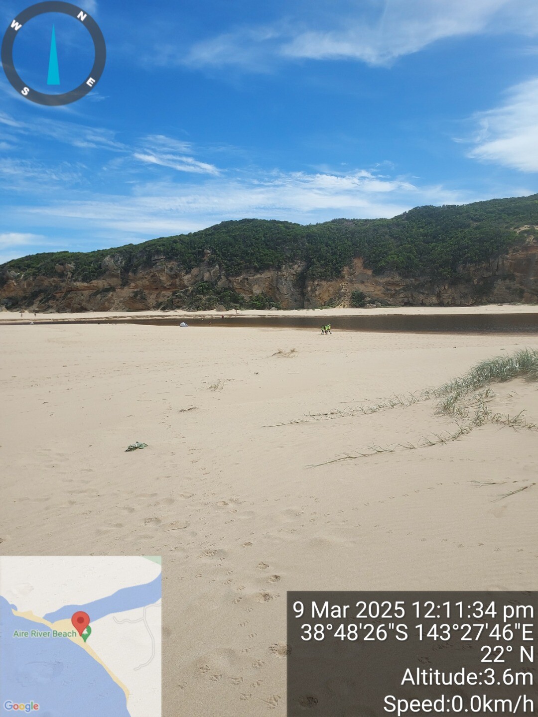
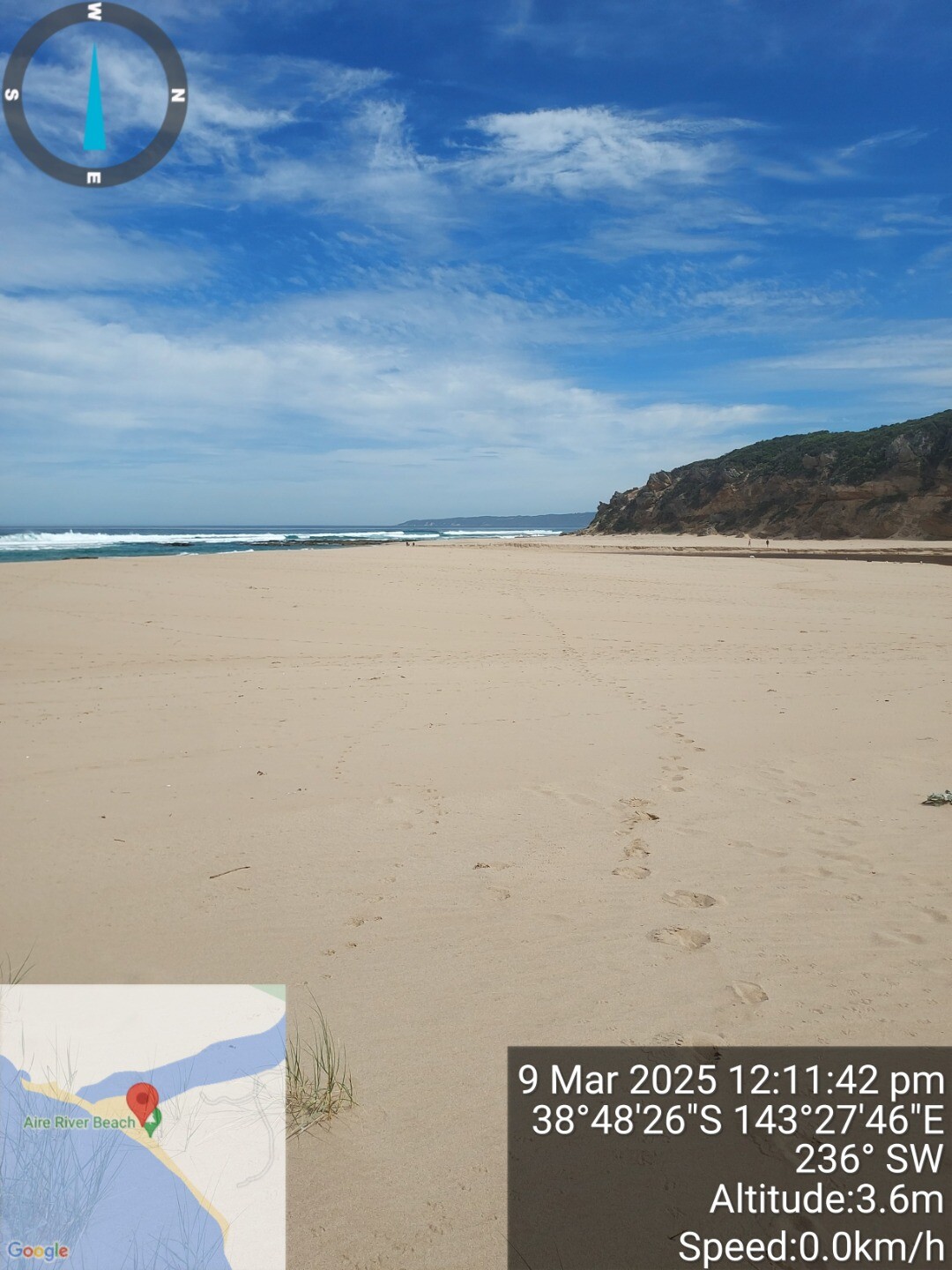
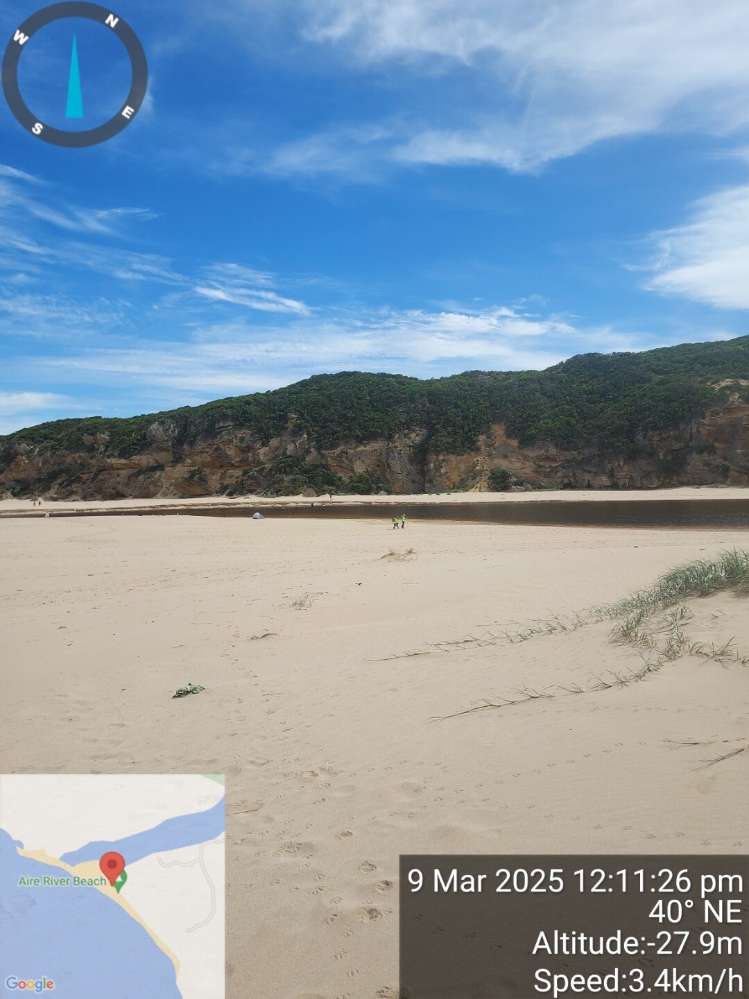
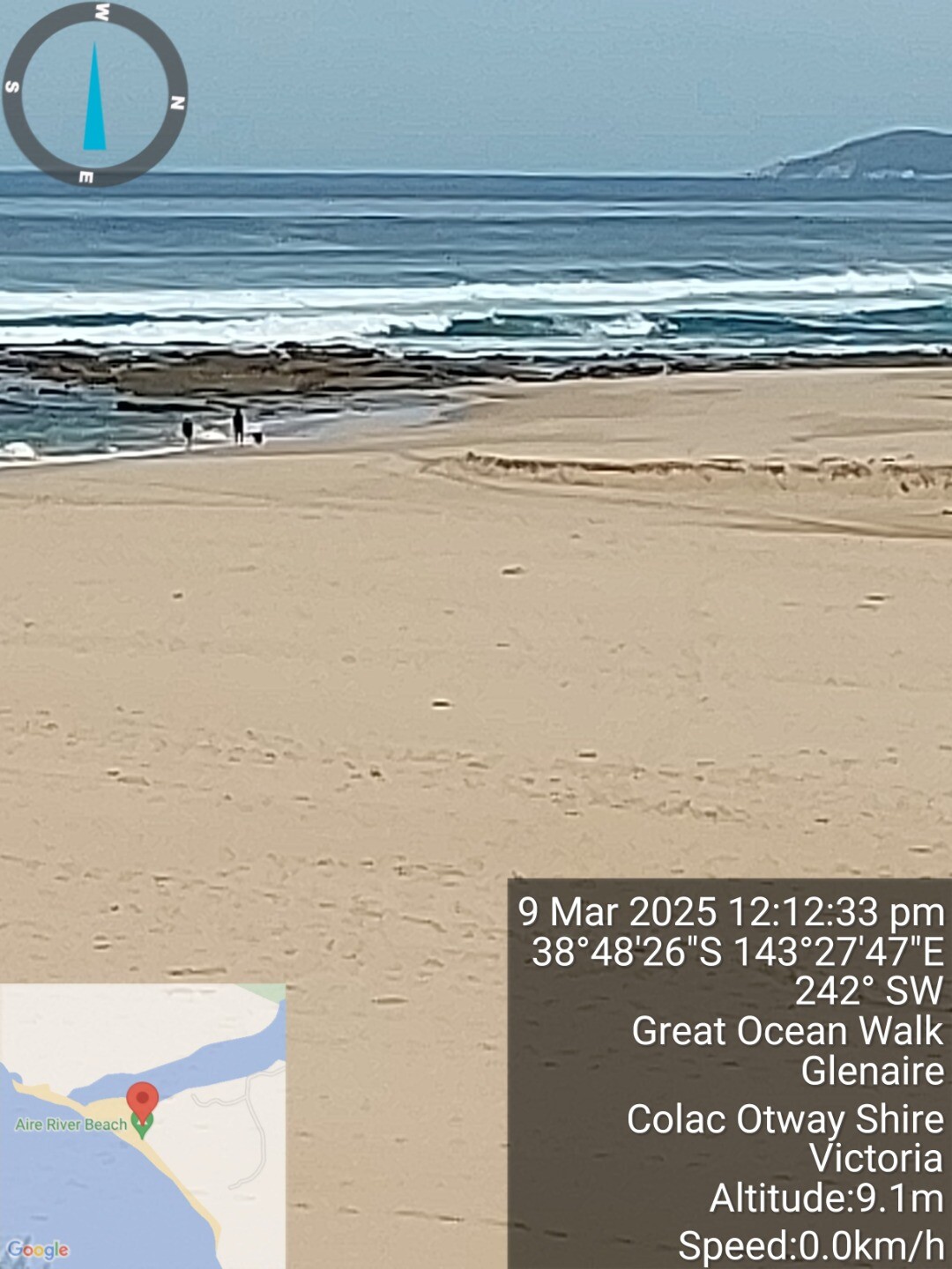
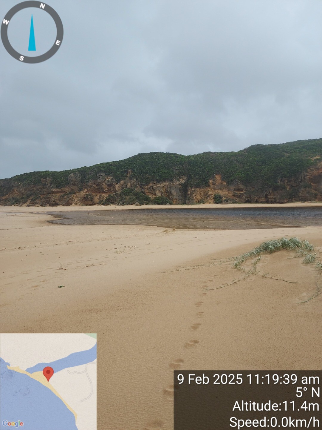
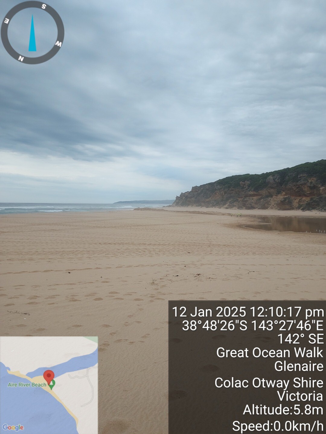
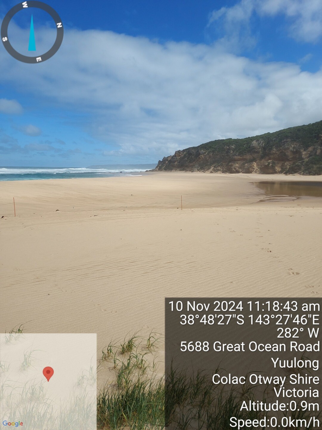
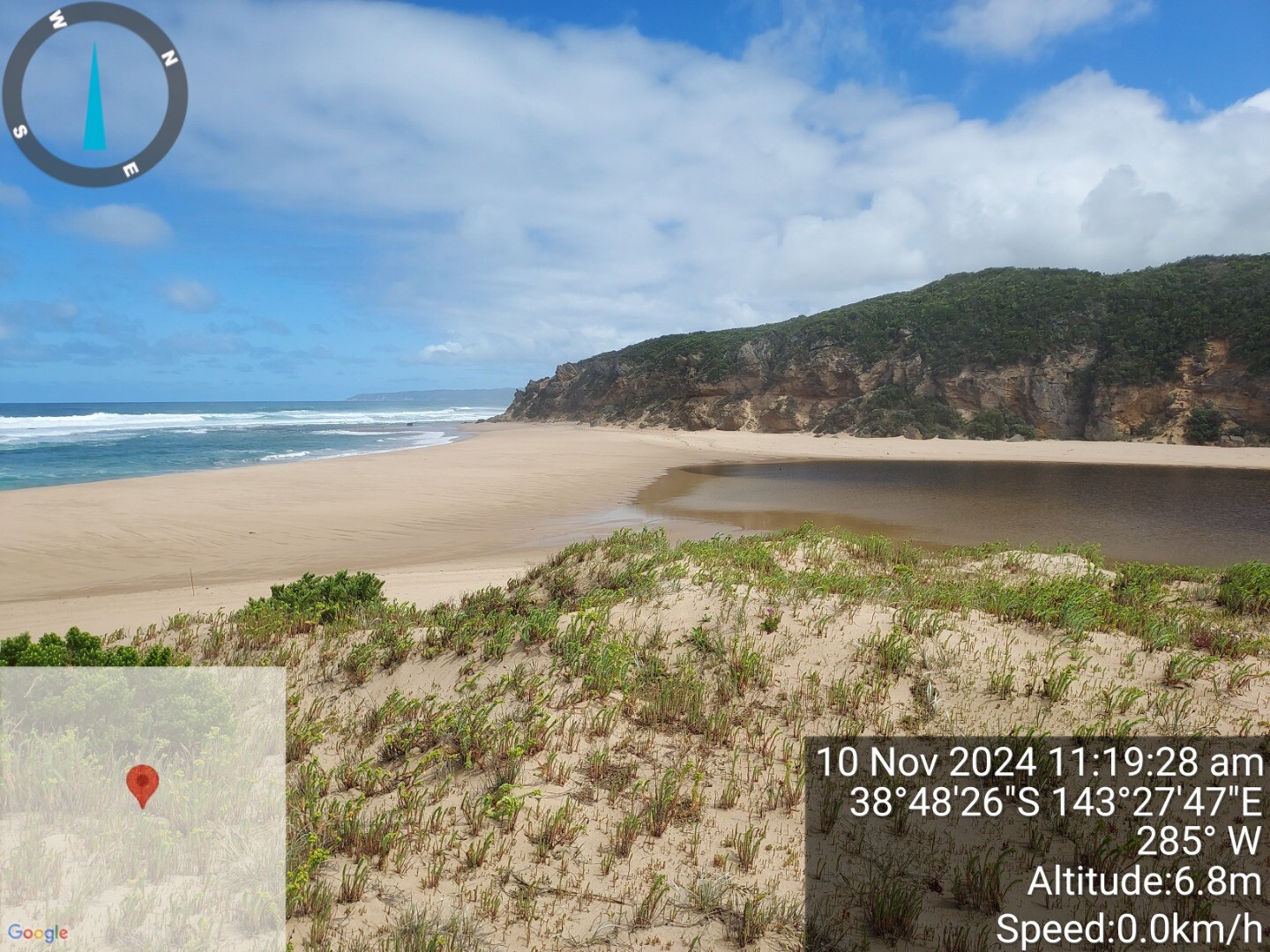
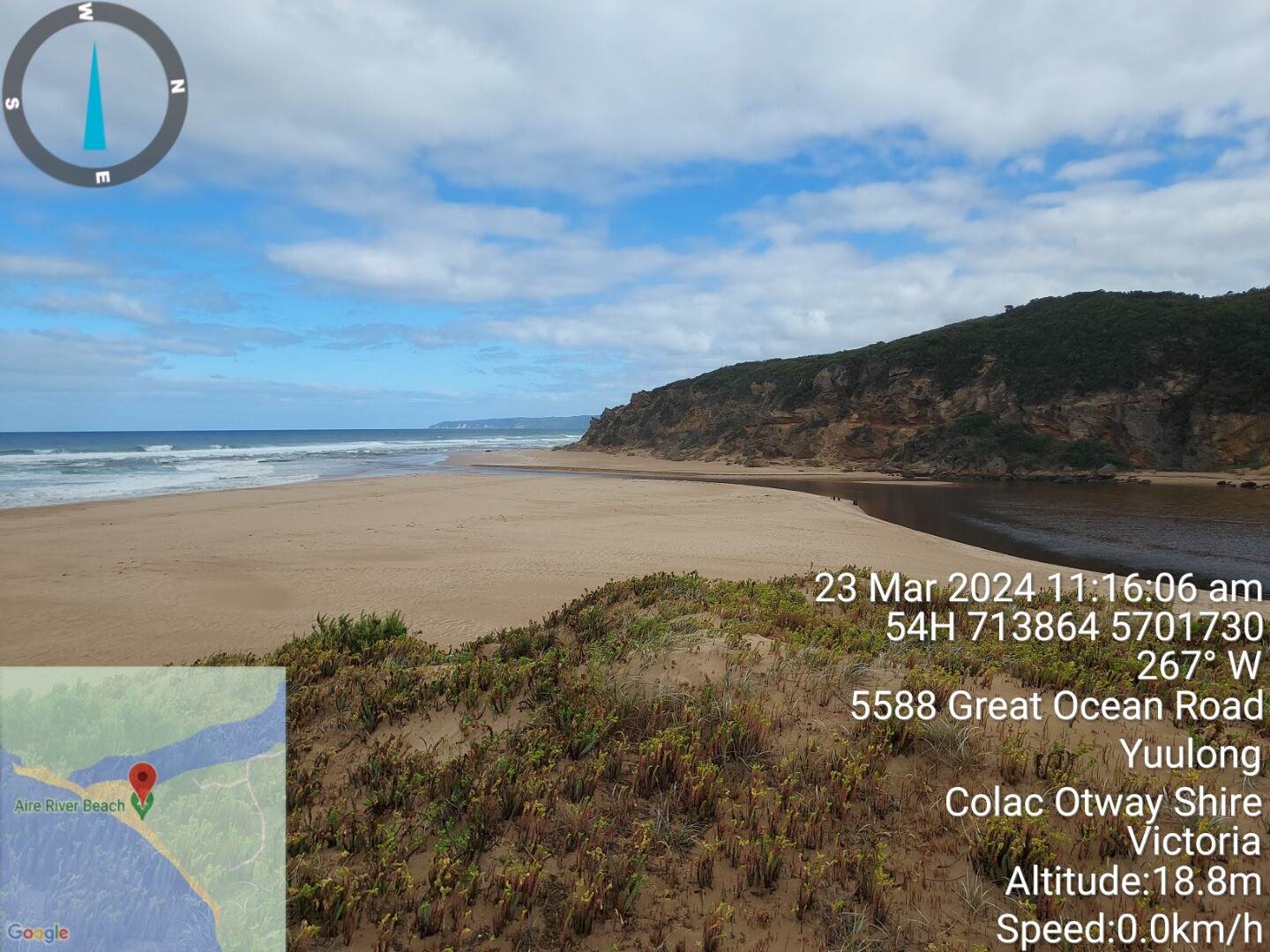
Aire River Estuary Mouth PhotopointActive Photopoint 24-03-2024 - 06-09-2025Adjacent to eastern bank of river mouth beside dunes Photos 106 |
AiP2 |
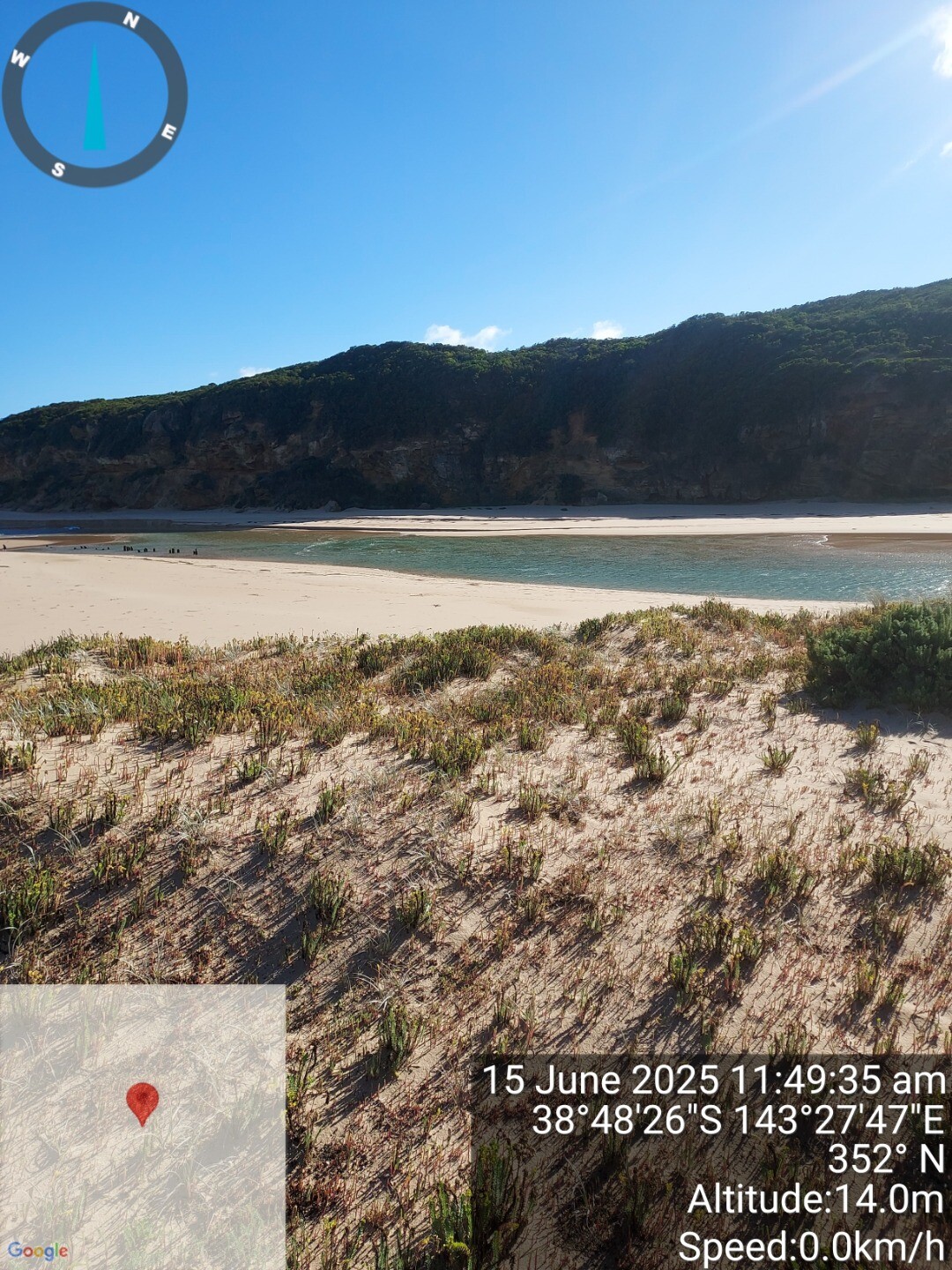
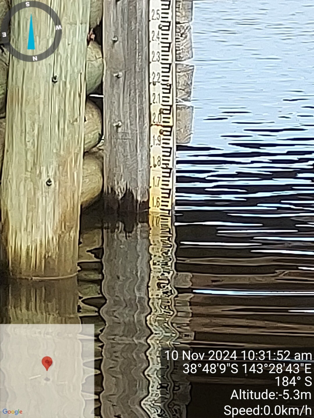
Aire River Estuary Photopoint 2Active Photopoint 24-03-2024 - 06-09-2025East end of bridge. At Fluker Post. Photos 64 |
Mouth Condition Snapshots


We honour Elders past and present whose knowledge and wisdom has ensured the continuation of culture and traditional practices.
 All content, files, data and images provided by the EstuaryWatch Data Portal subject to a Creative Commons Attribution License
Data portal by CeRDI
All content, files, data and images provided by the EstuaryWatch Data Portal subject to a Creative Commons Attribution License
Data portal by CeRDI