|
Description
|
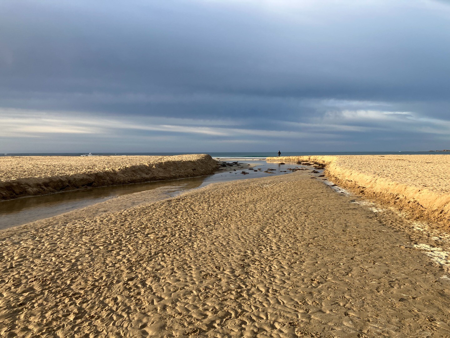
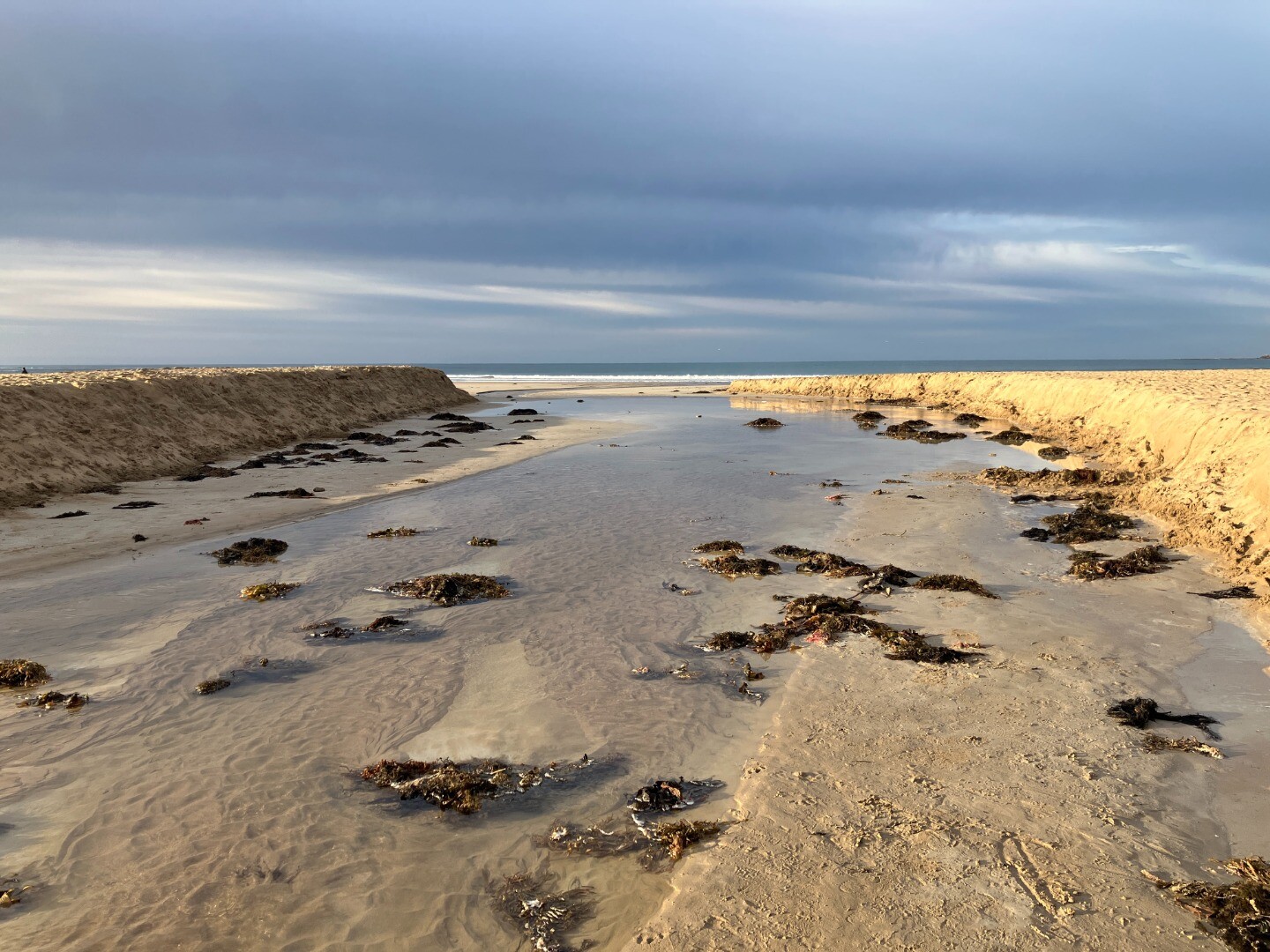
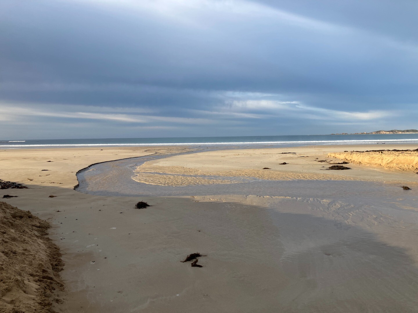
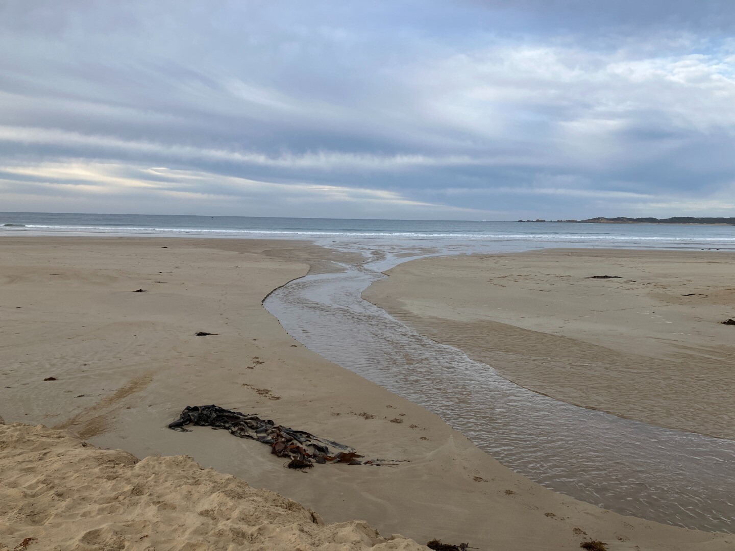
- Corangamite CMA staff visited the Anglesea River estuary five days after an artificial estuary opening that took place on the 20th of August.
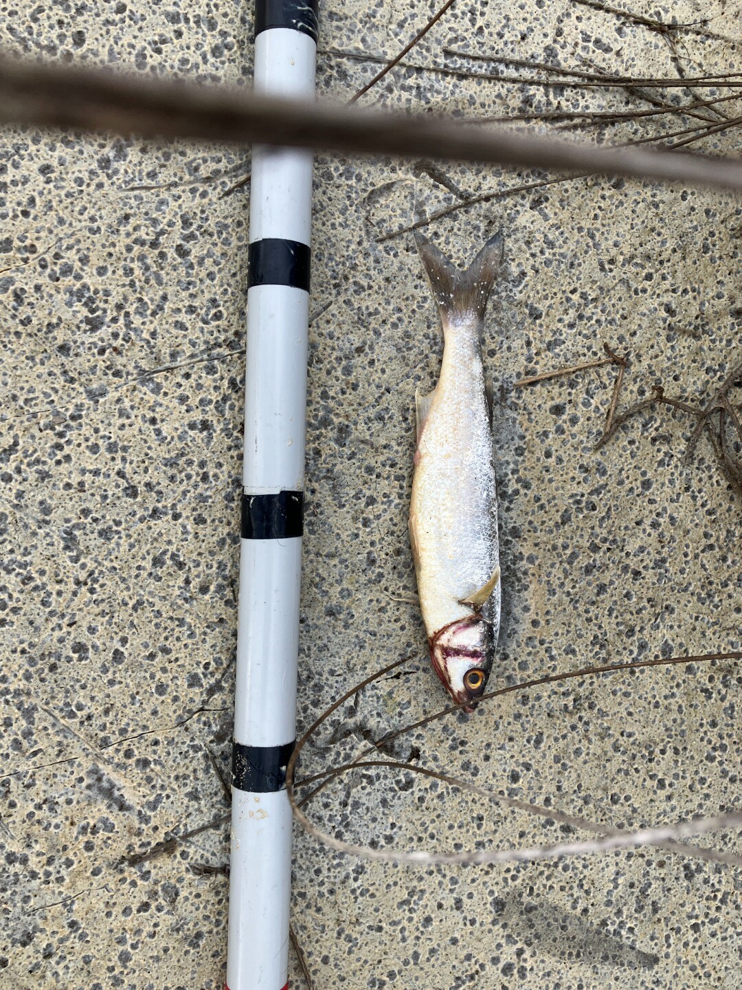
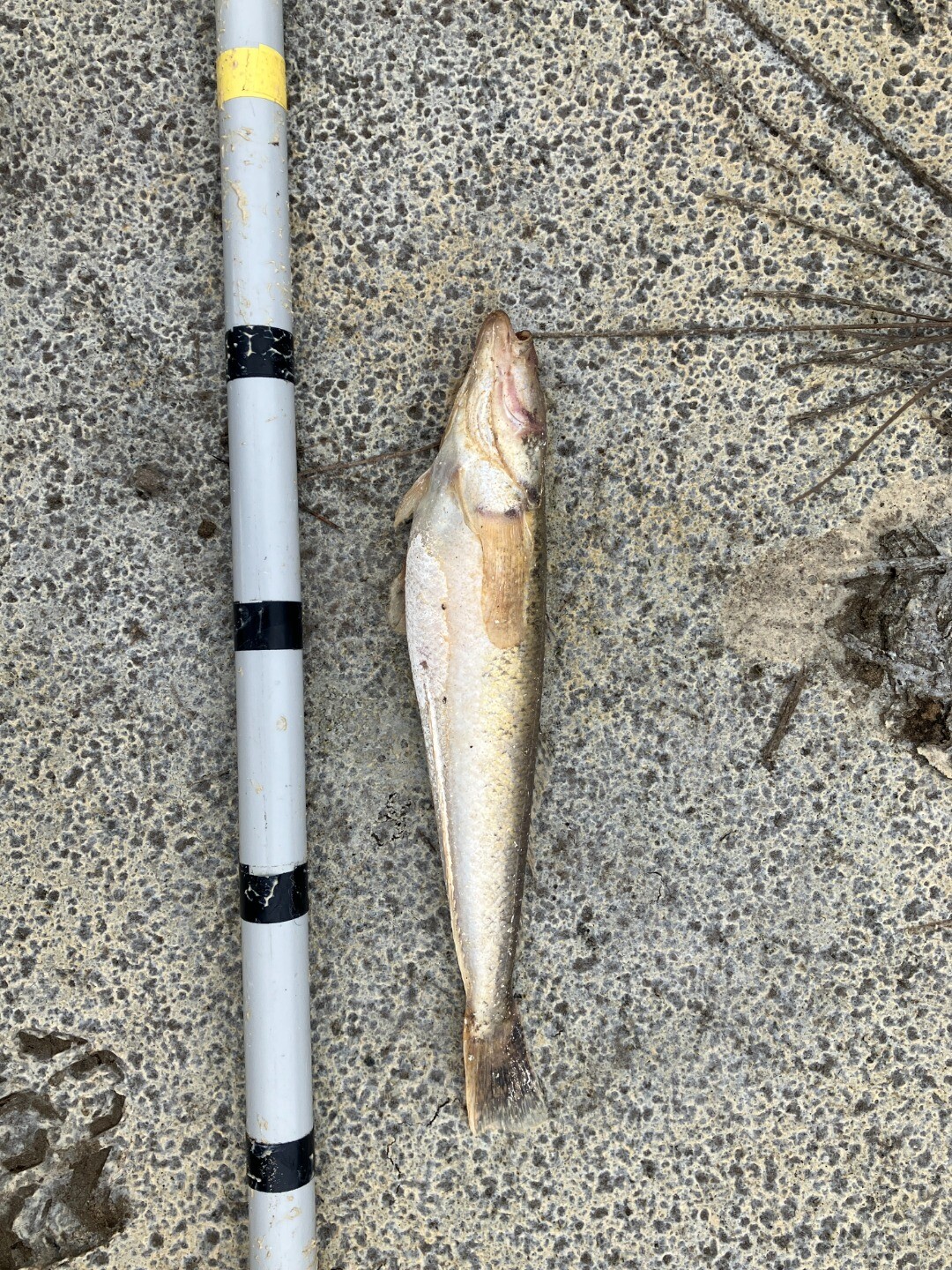
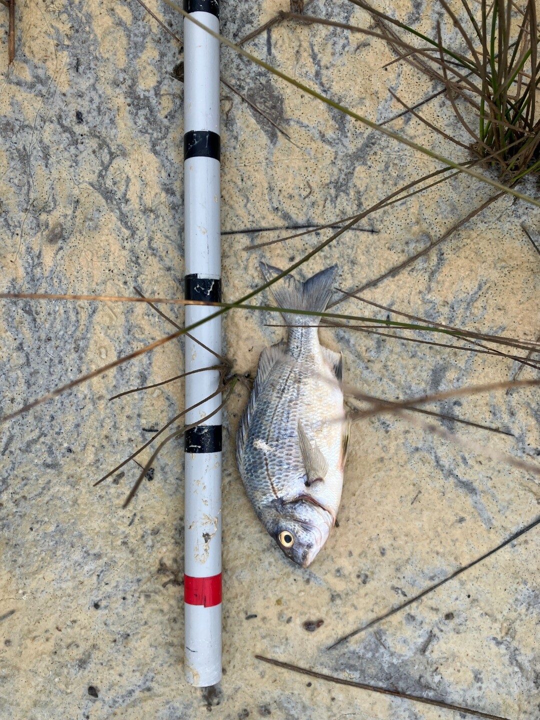
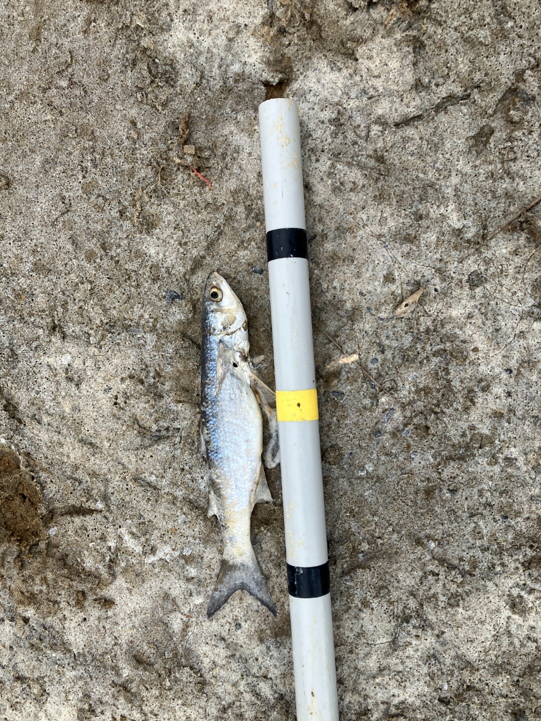
- Water was still flowing steadily out to sea and had scoured sand to form a deeper channel than what was seen on the day of the opening. (markings on pole in images are every 10cm)
- Water level recorded from the 235278A ANGLESEA RIVER AT GREAT OCEAN ROAD BRIDGE monitoring station has dropped from 1.738 m at the time of the opening to 1.39m at 8:00am.
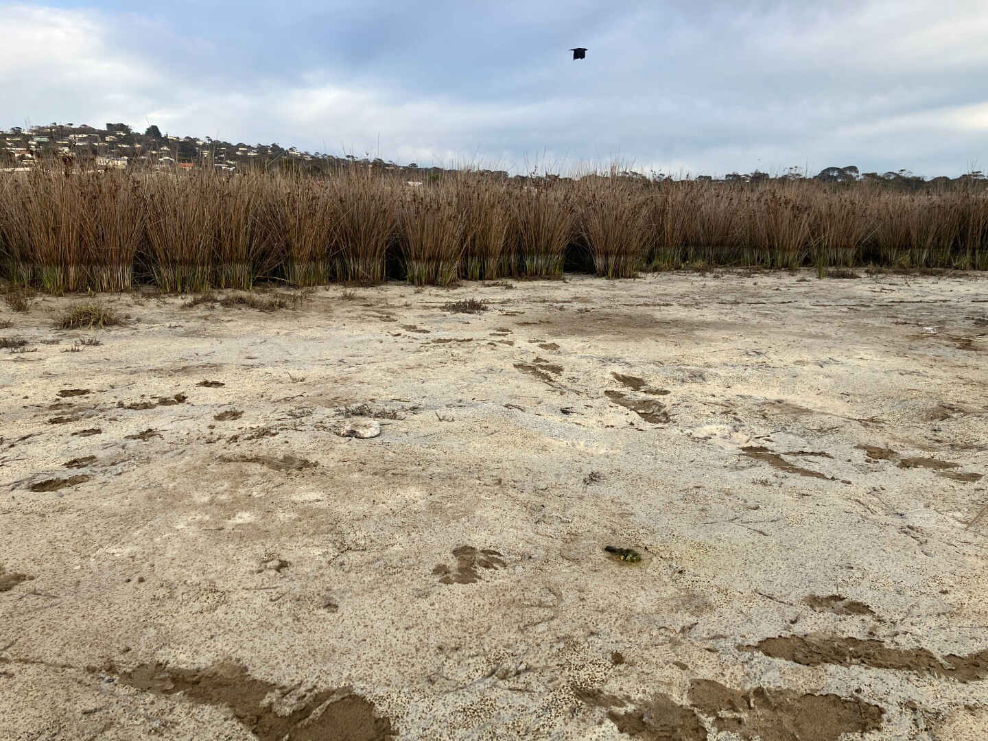
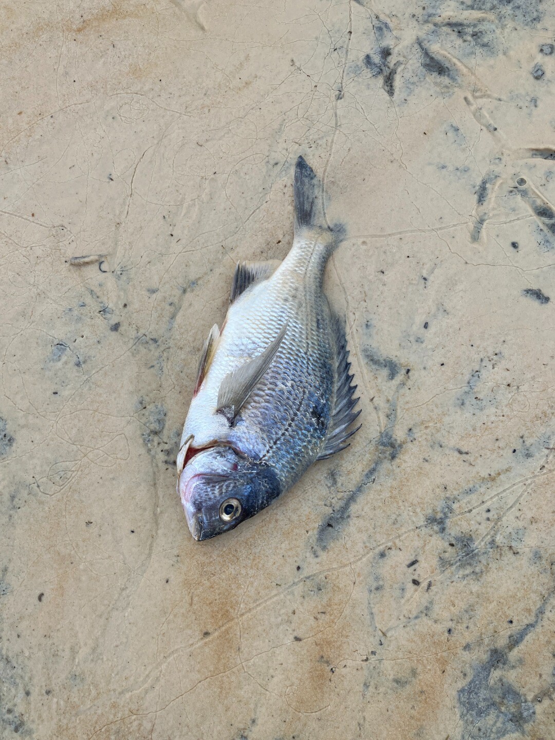
- There was a similar amount of dead fish to what was seen the previous week along the water line of the river mouth. Some had obviously been eaten by birds.
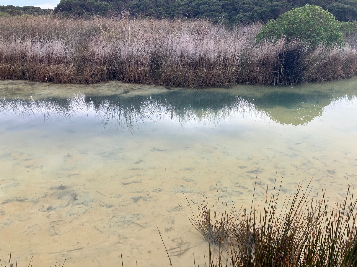
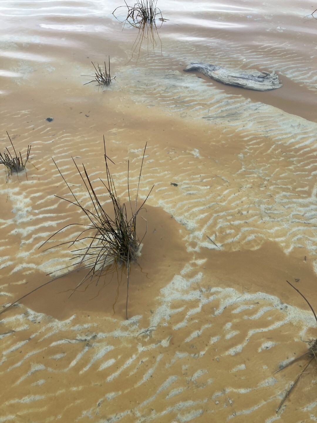
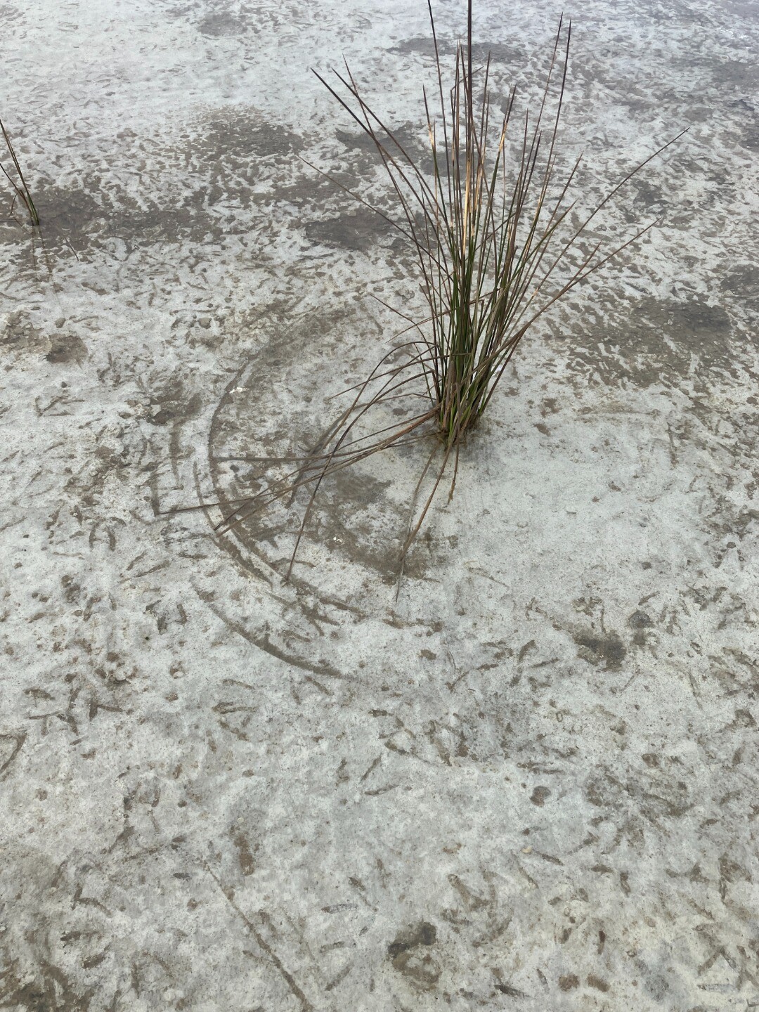
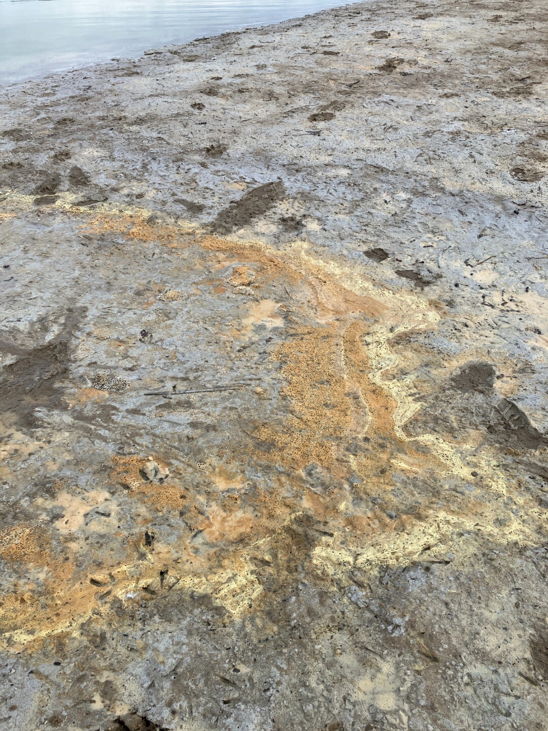
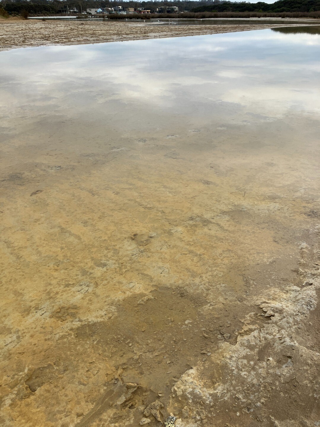
- There was still signs of flocculant on the river bed. The colour varied from milky white to orange.
- A lone pelican was also seen at the river mouth
|
