Merriman Creek
West Gippsland CMA
DOWNLOAD DATAOverview
Active WGCMA Estuary Management Group
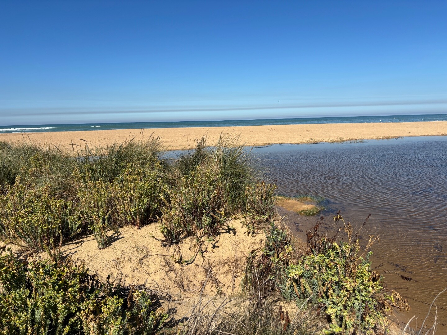
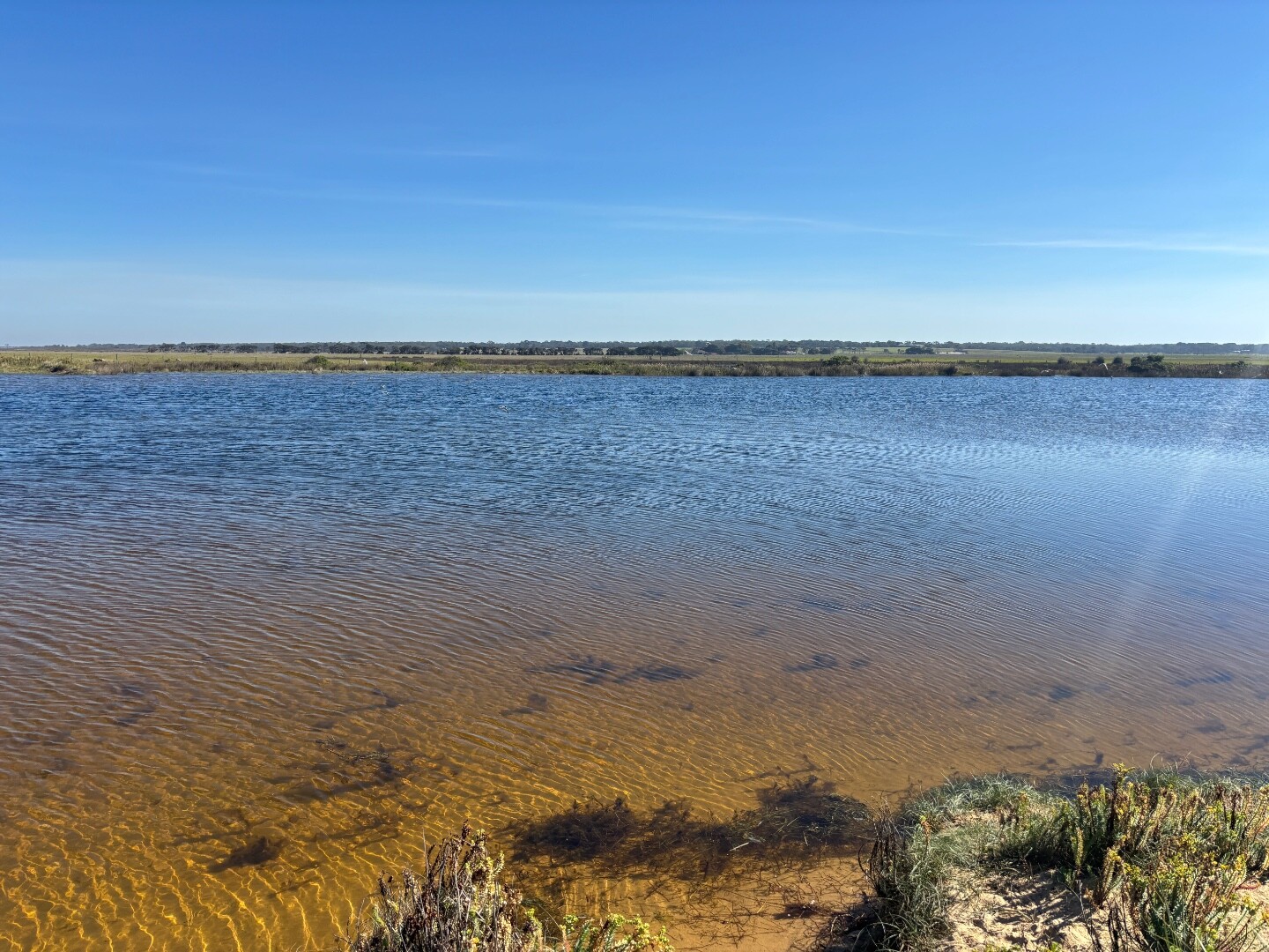
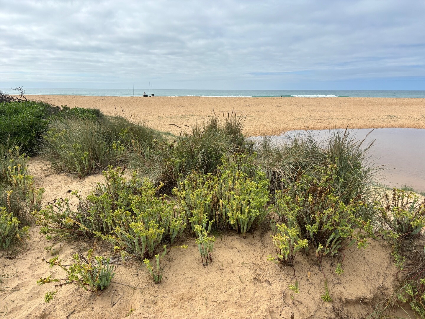
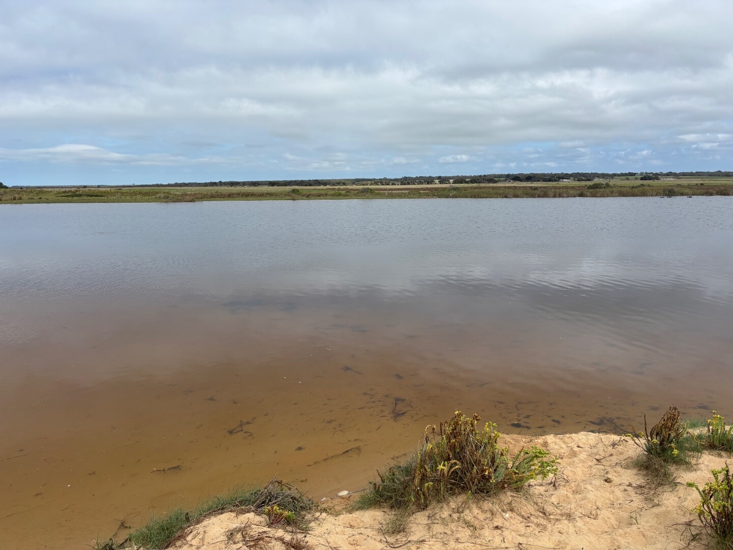
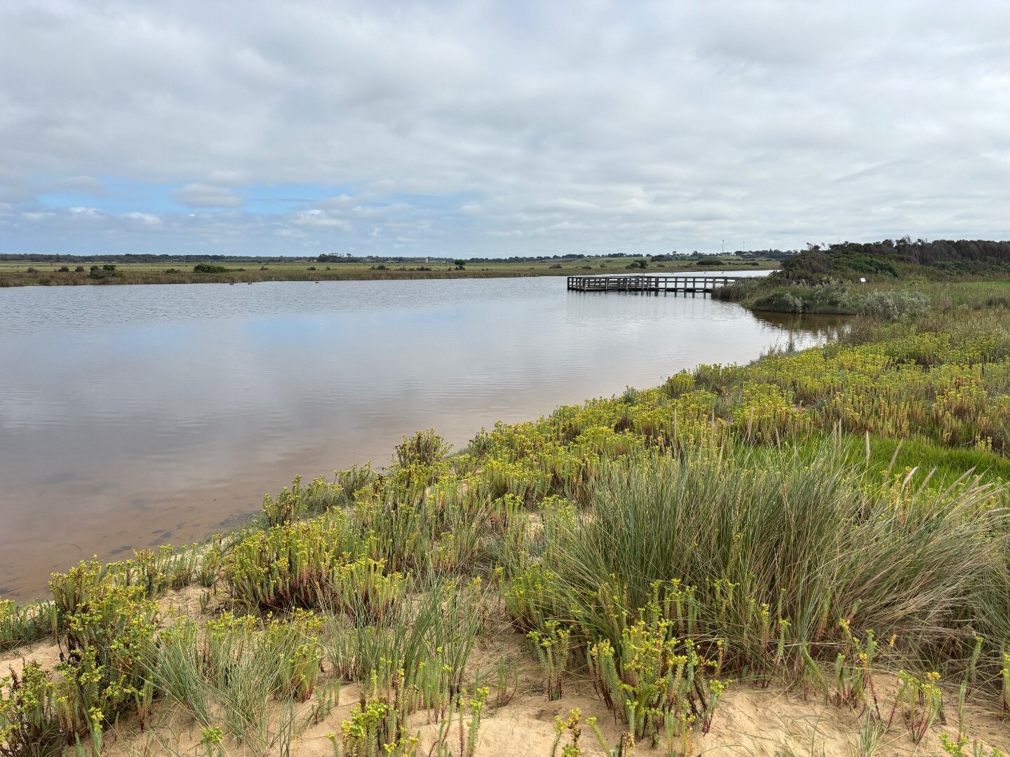
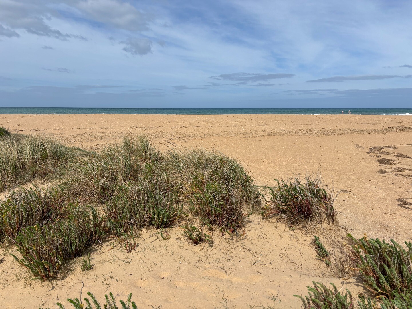
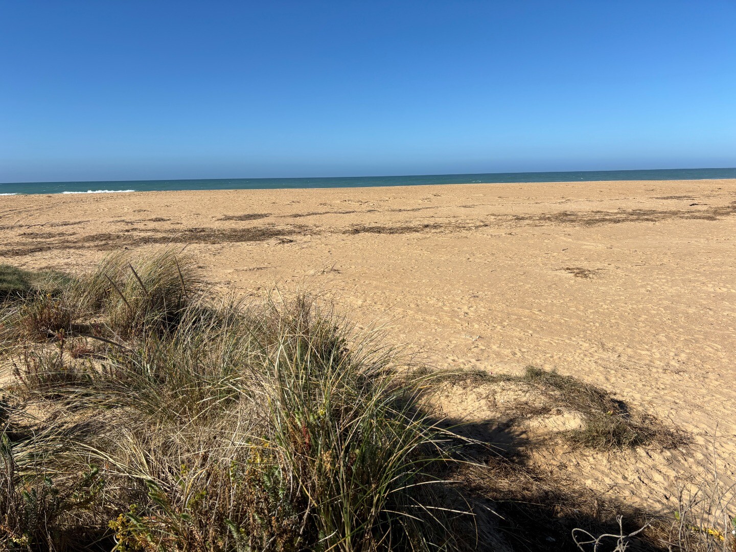
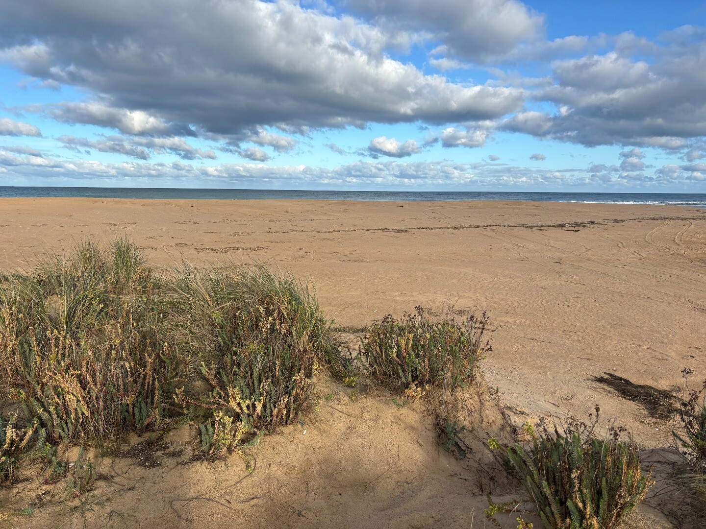
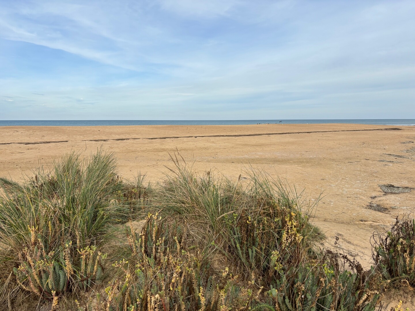
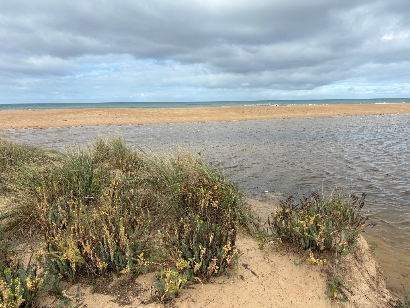
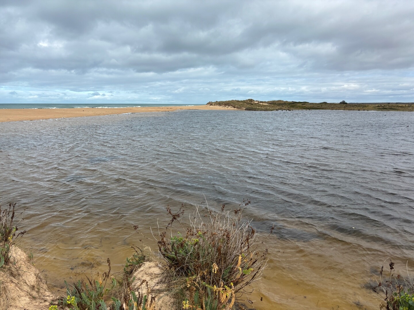
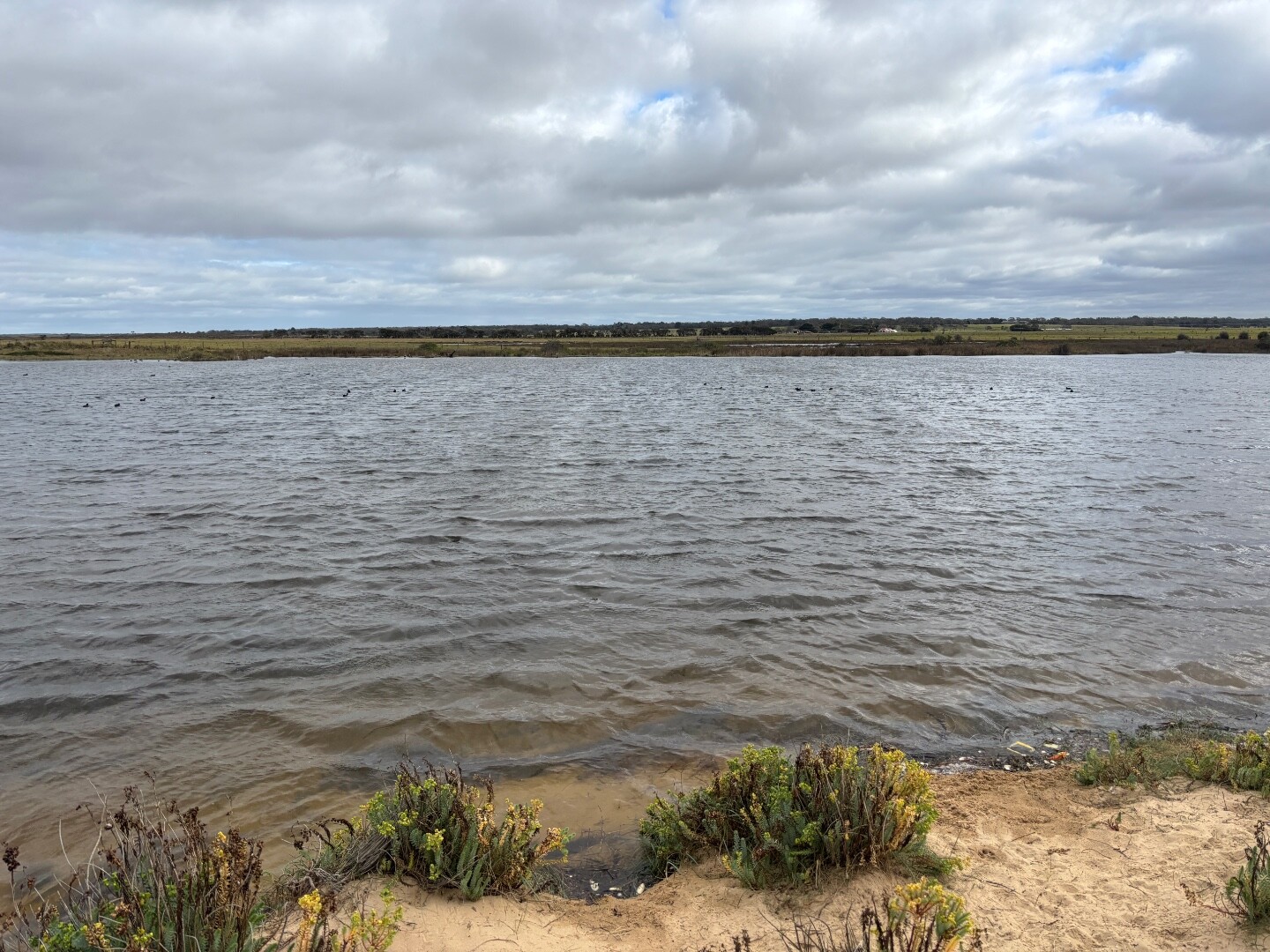
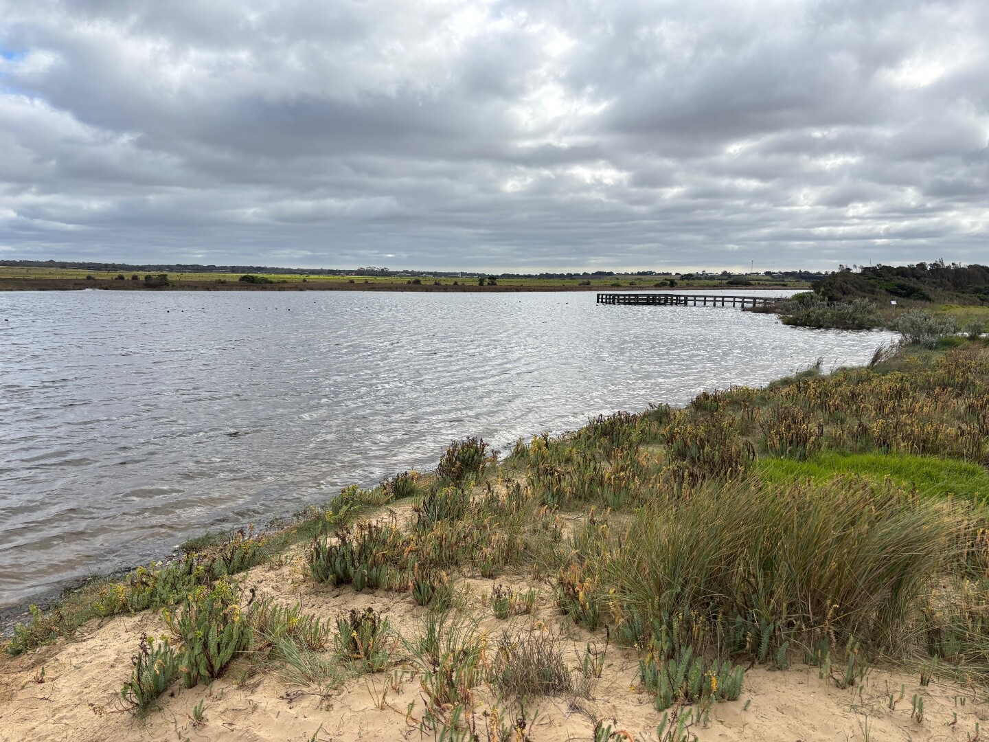
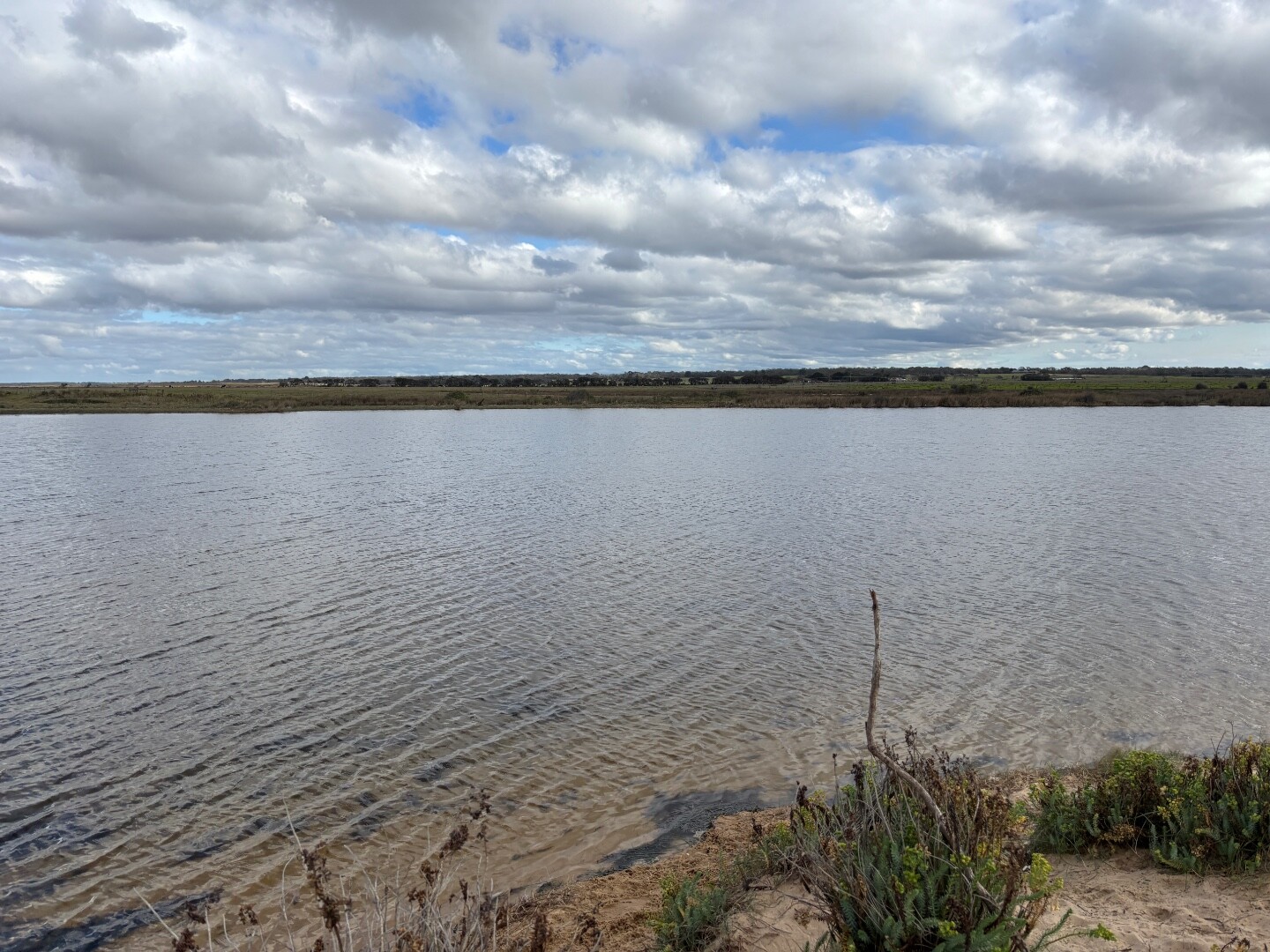
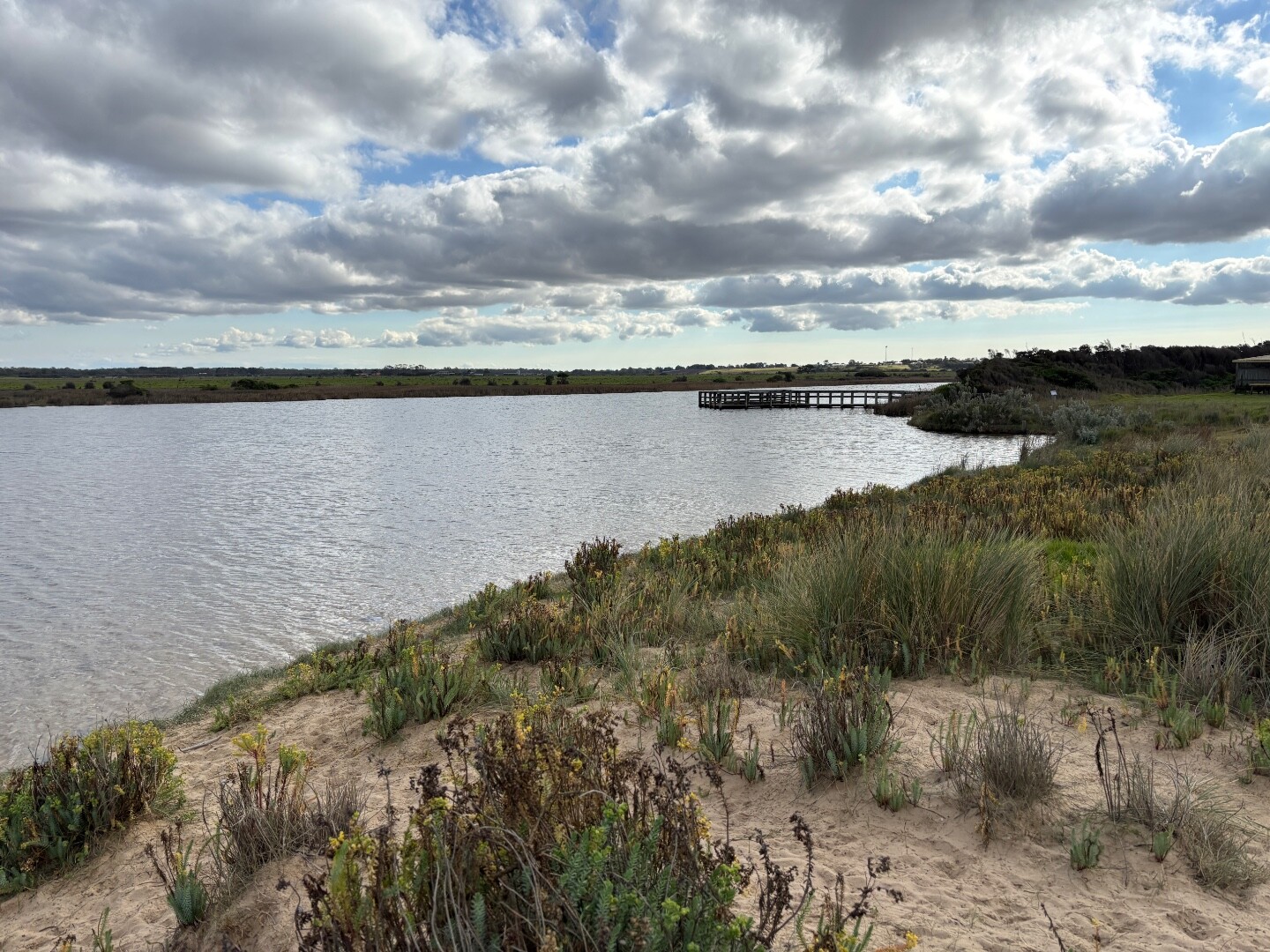
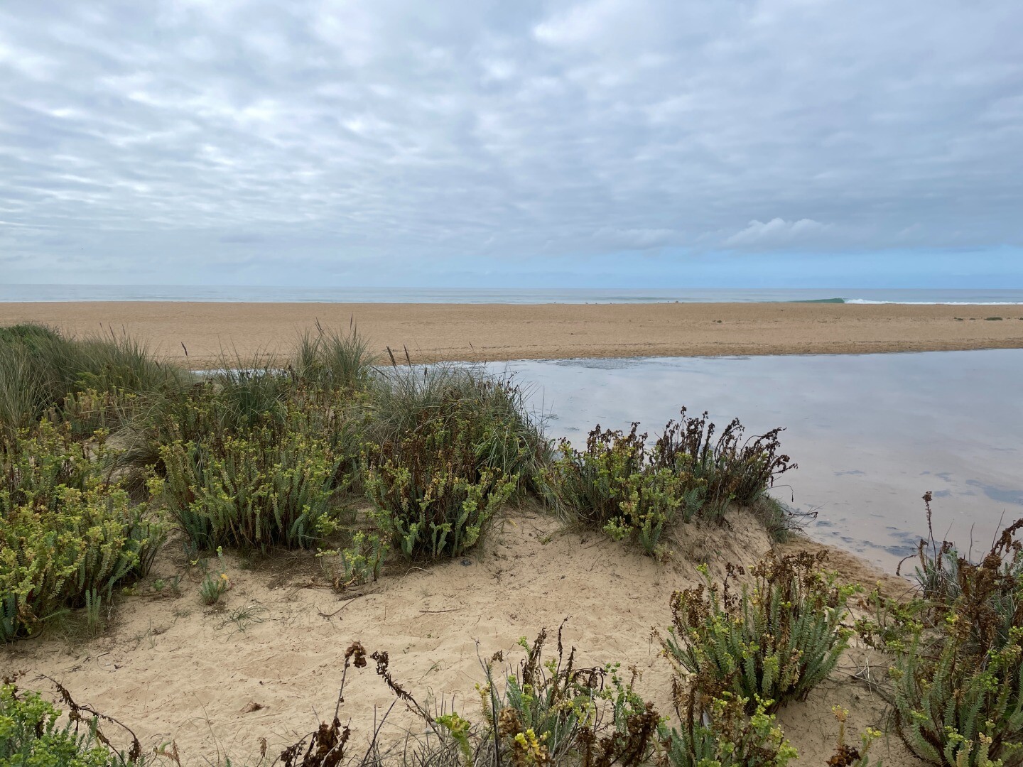
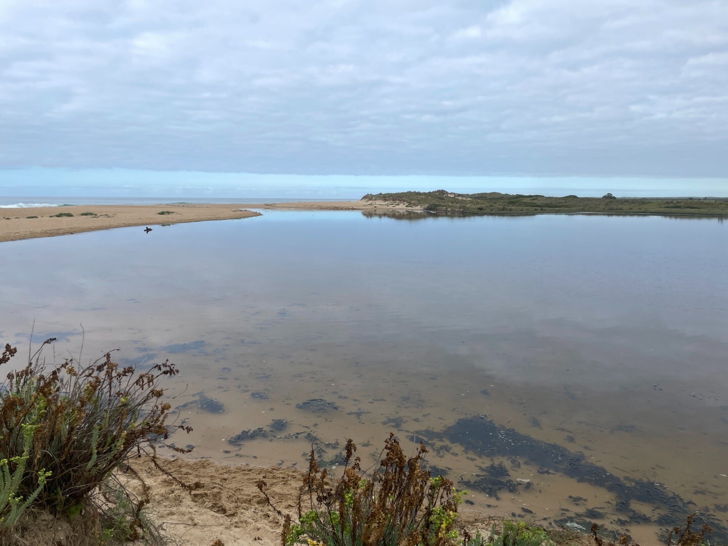
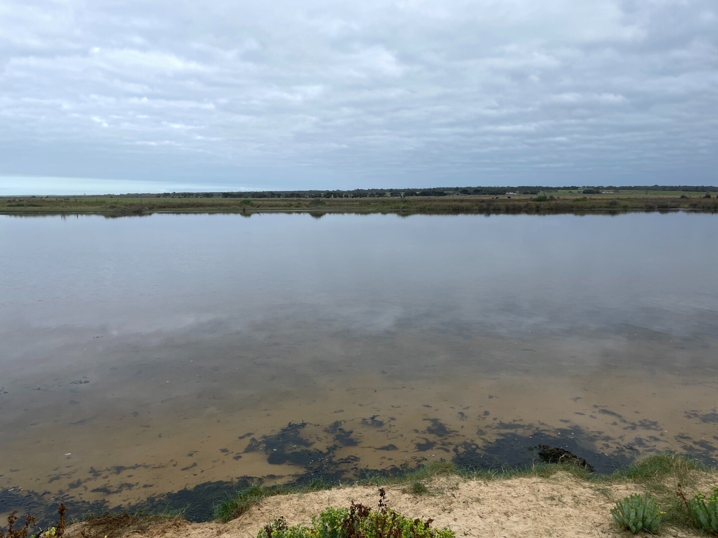
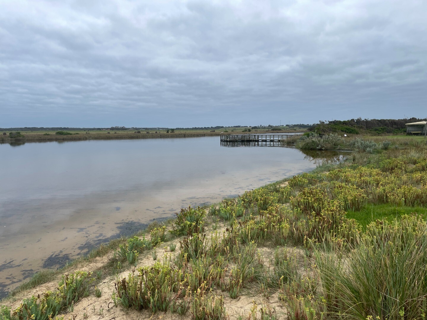
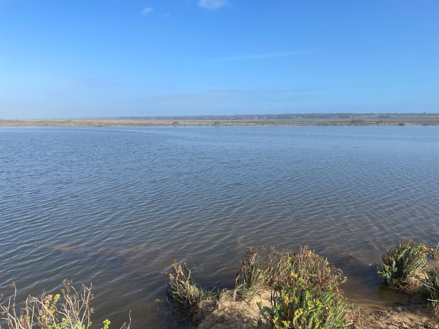
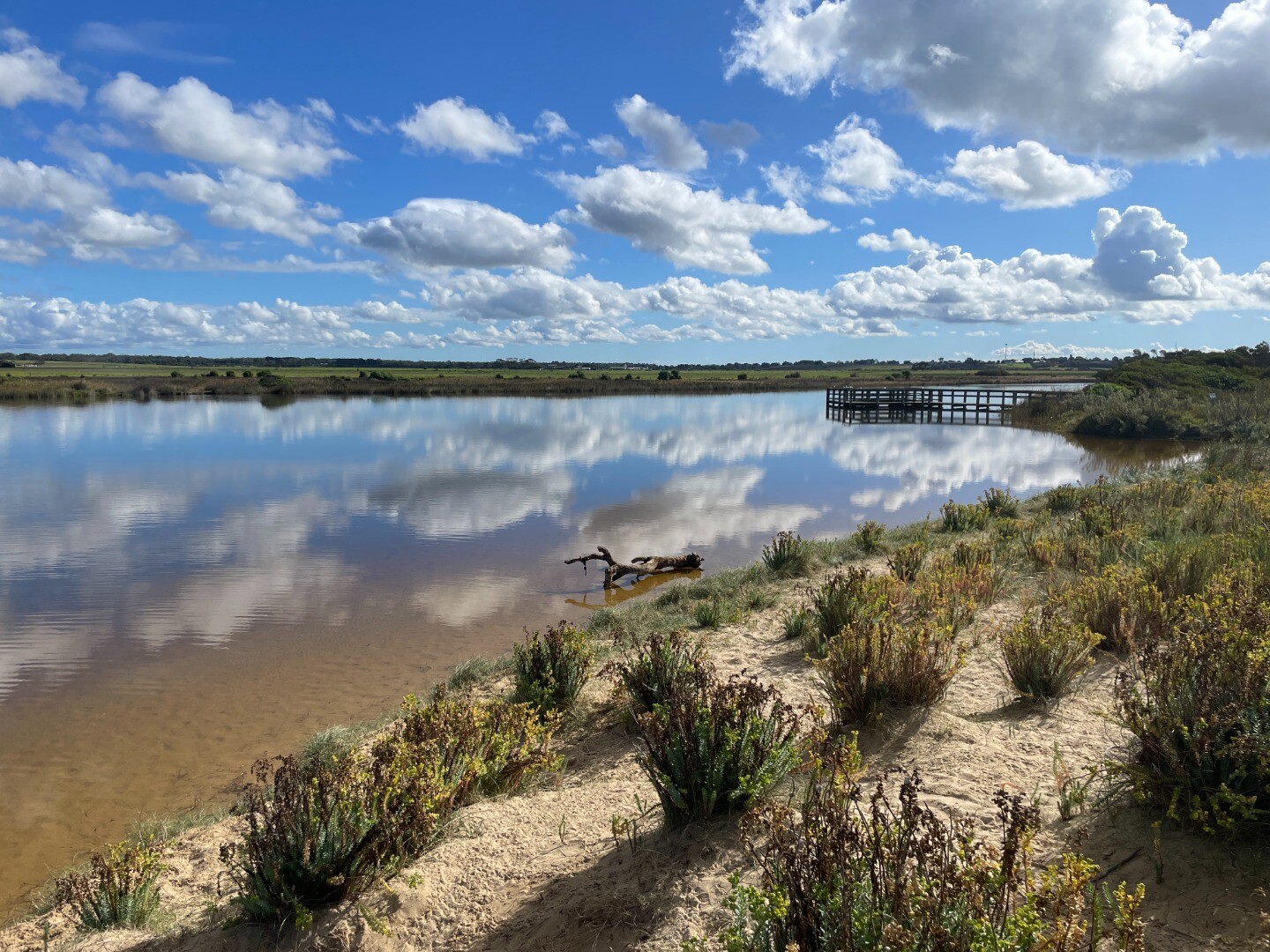
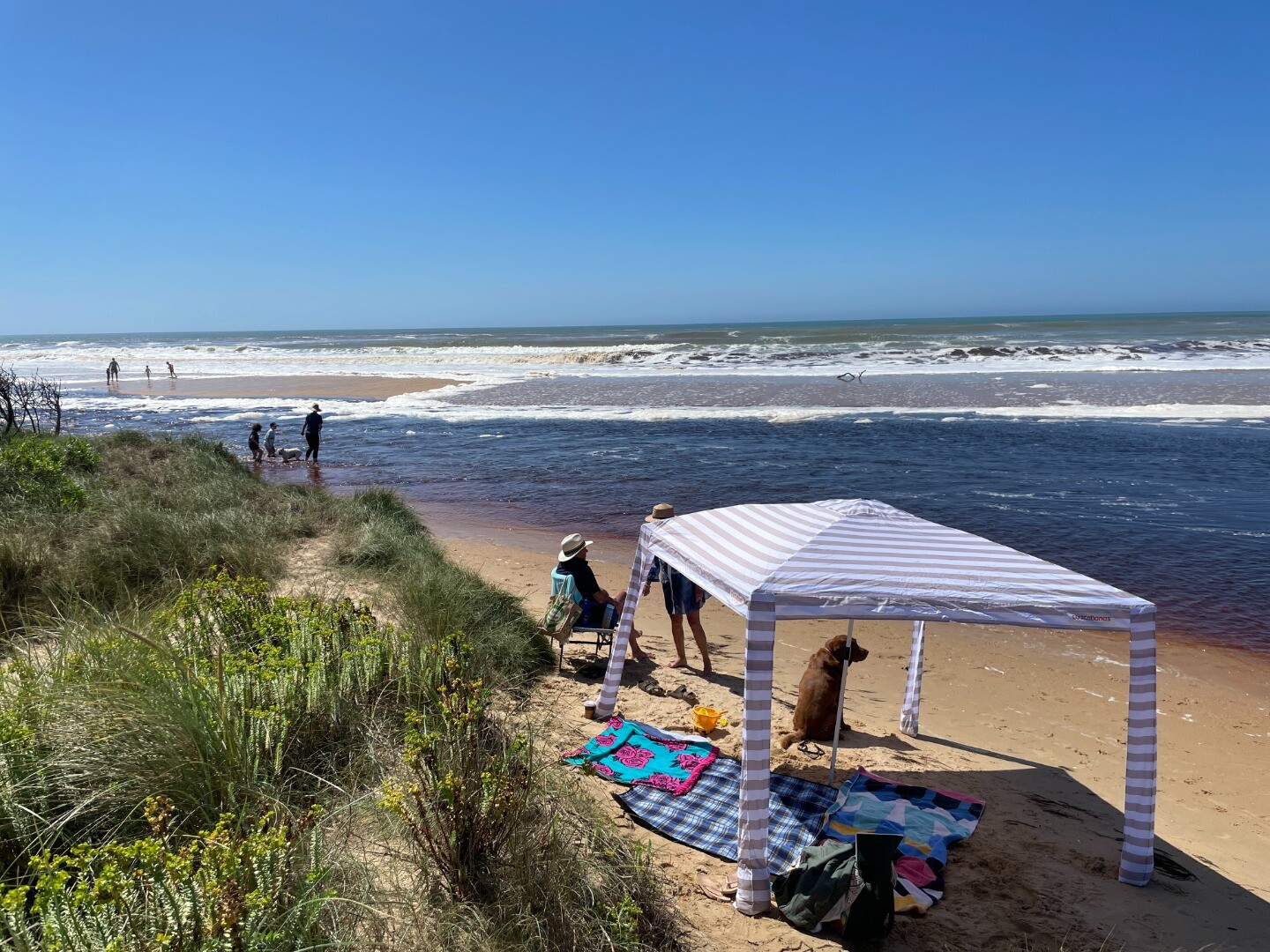
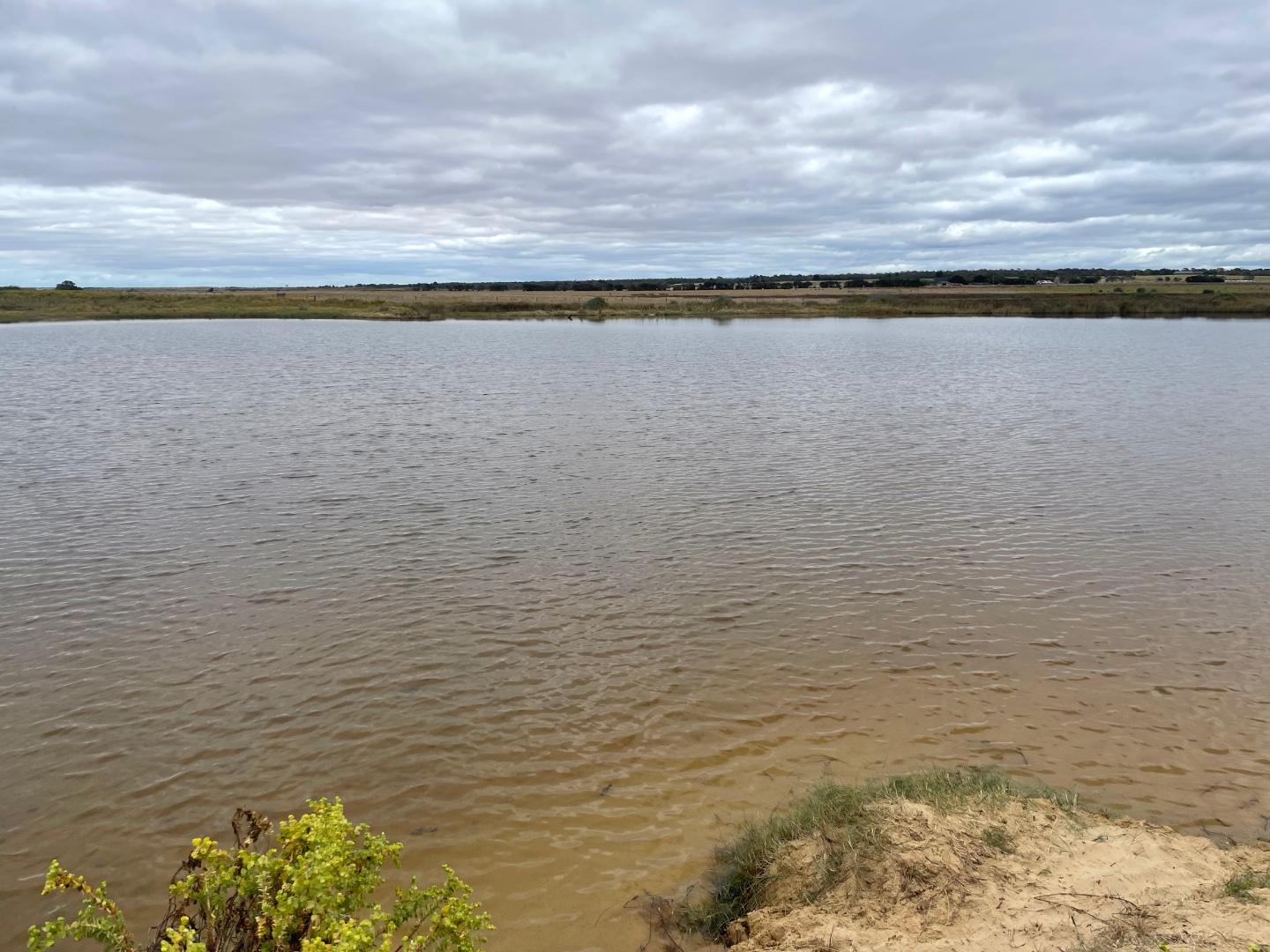
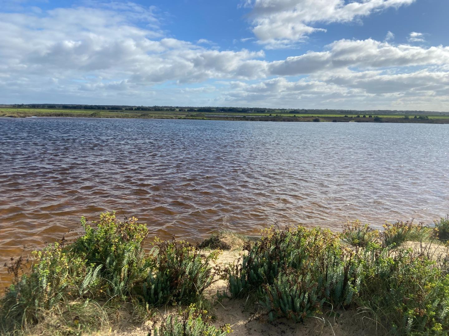
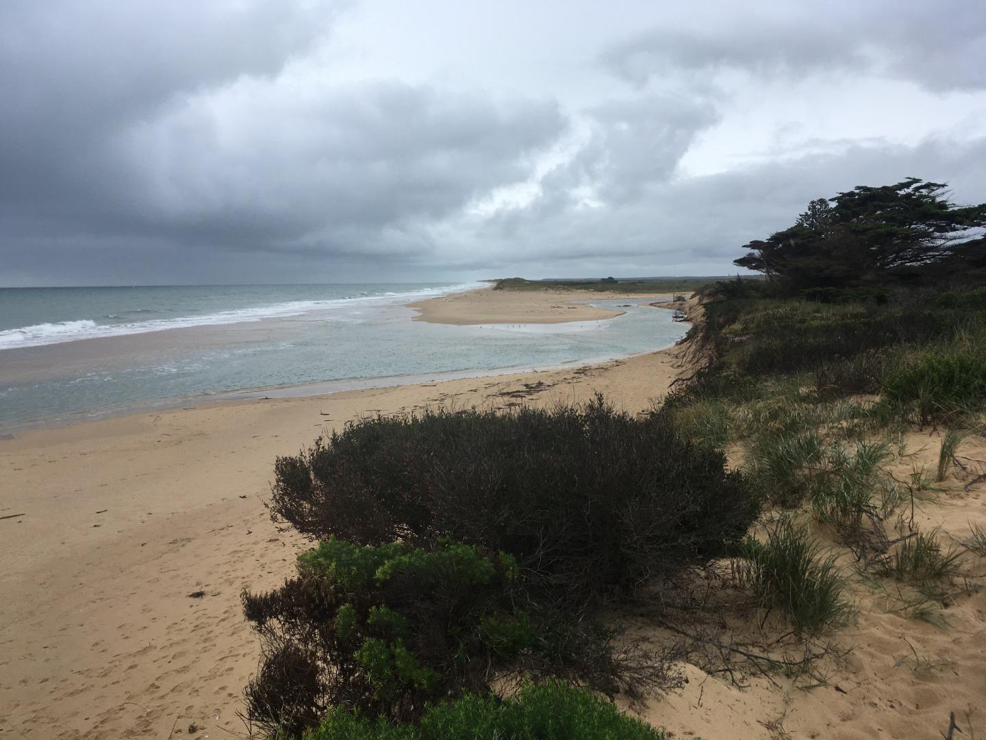
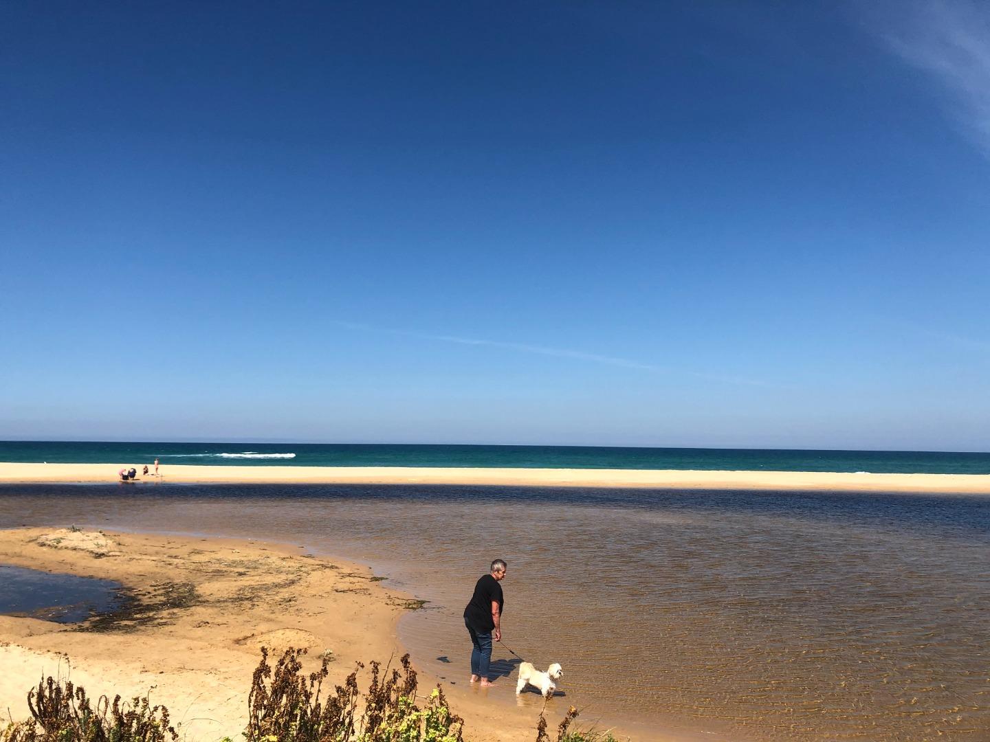
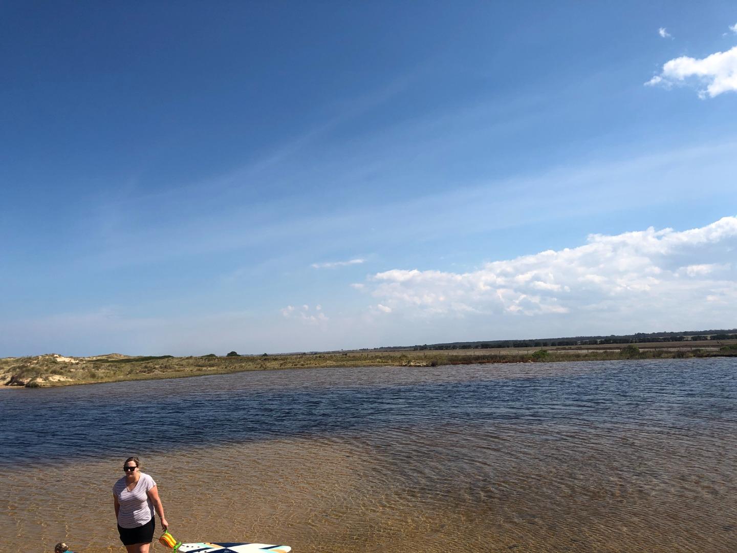
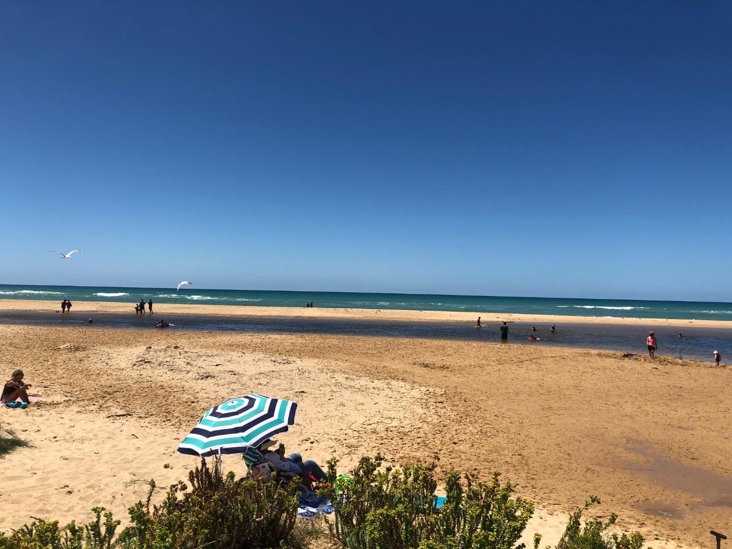
Merriman Creek is a small creek estuary, flowing from the Strzelecki Ranges through intensive grazing and plantation forestry areas, before flowing to Bass Strait adjacent to the township of Seaspray. Merriman Creek is a source of potable water supply. The estuary is a popular location for recreational activities and fishing and provides a diversity of habitat for birdlife and fish. The area has important Aboriginal cultural heritage values for the Gunaikurnai people.
Map
Estuary Values
- Aboriginal cultural heritage
- Bird species such as the Little Tern (critically endangered, Vic), White-Bellied Sea Eagle (endangered, Vic) and the Curlew Sandpiper (critically endangered)
- Fish species such as Tupong, Long-finned Eel, Estuary Perch and Black Bream
- EVCs: Coastal Saltmarsh, Estuarine Scrub/Swamp Scrub, Estuarine Wetland and Saline Aquatic Meadow
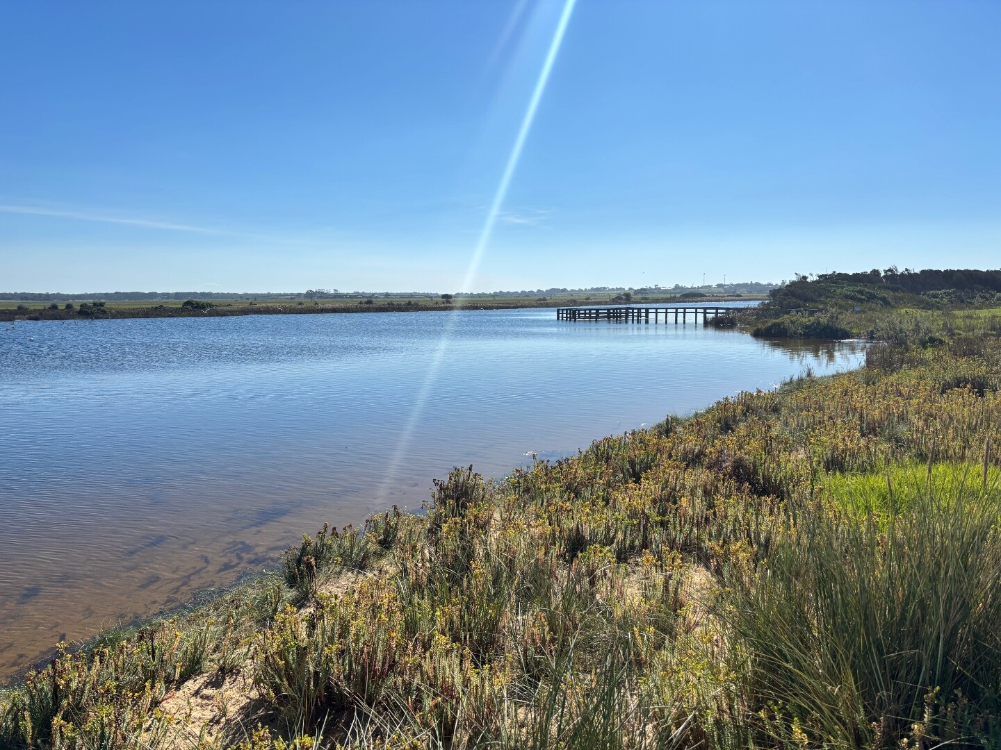
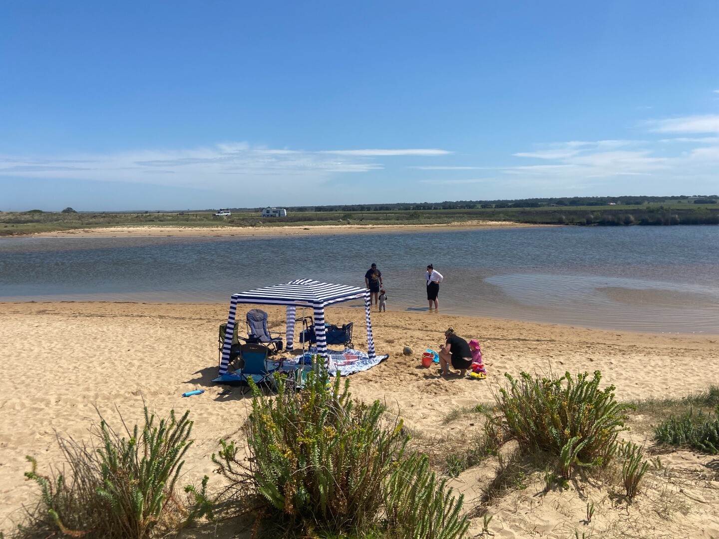
- Recreation including fishing, kayaking, swimming, walking and boating
Estuary Threats
- Altered Flow Regimes
- Poor Water Quality
- Bank Erosion
- Unauthorised Artificial Openings

Recent Events
Sites
MC1 |
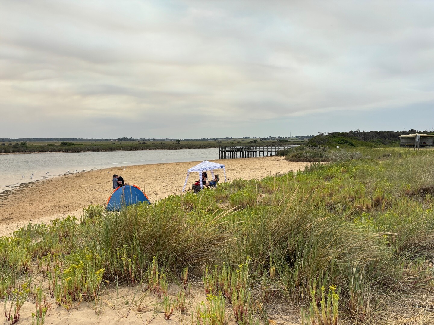
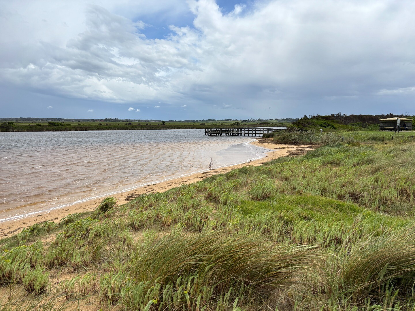
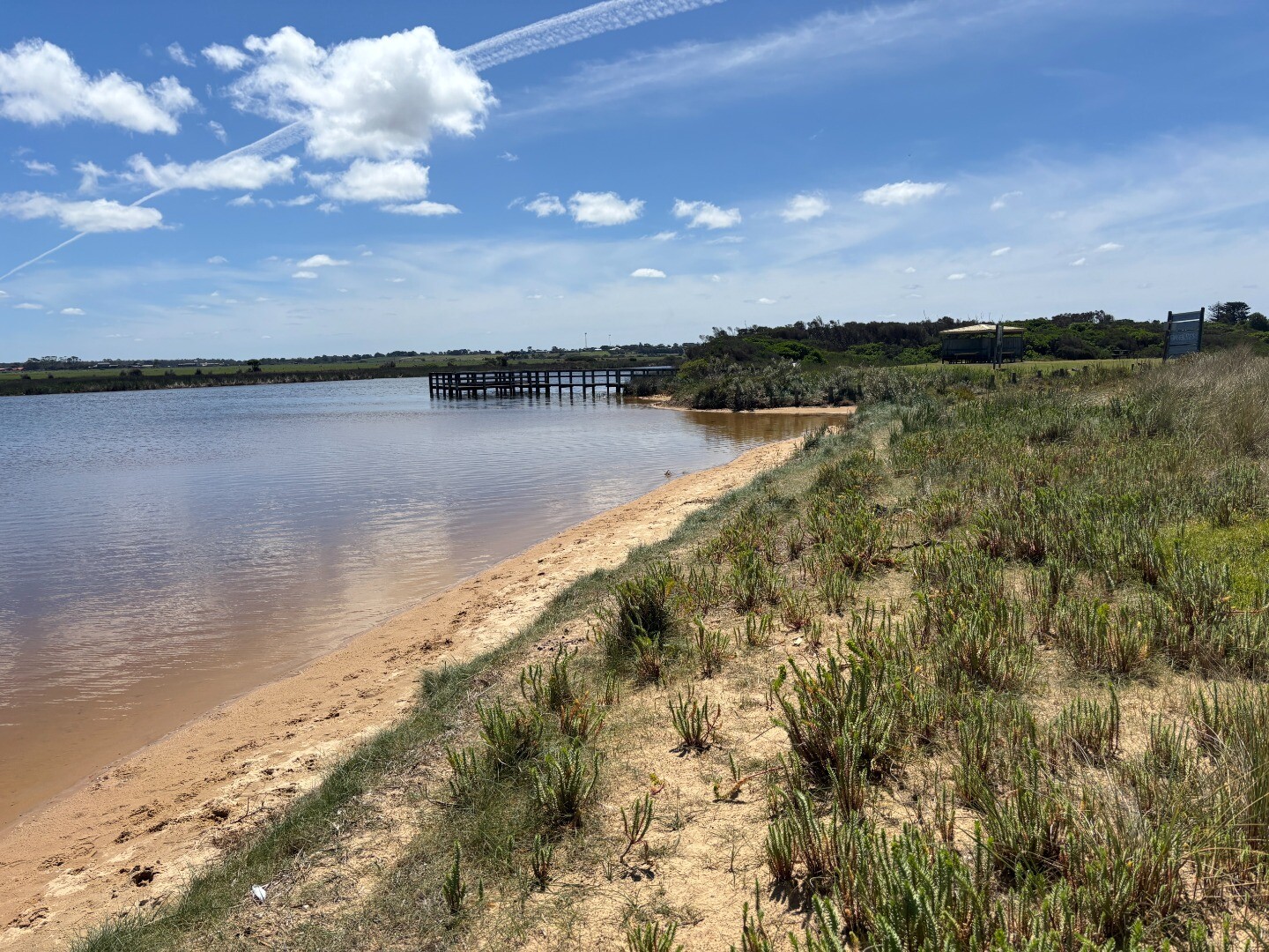
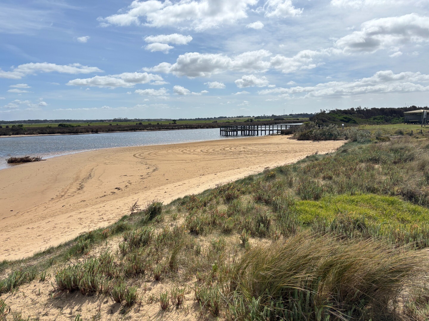
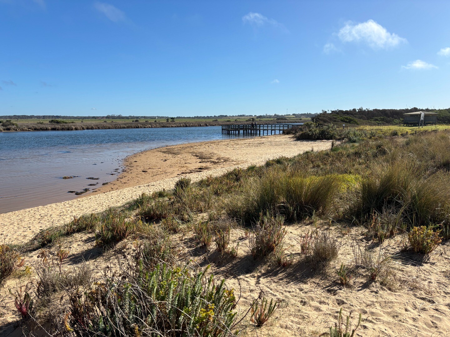
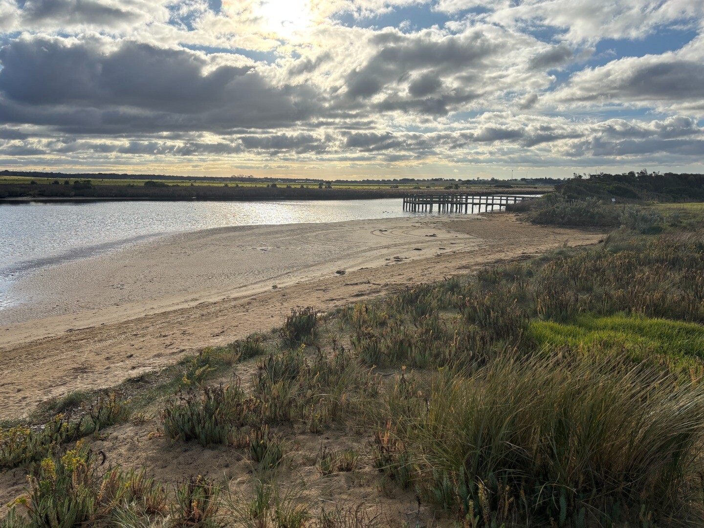
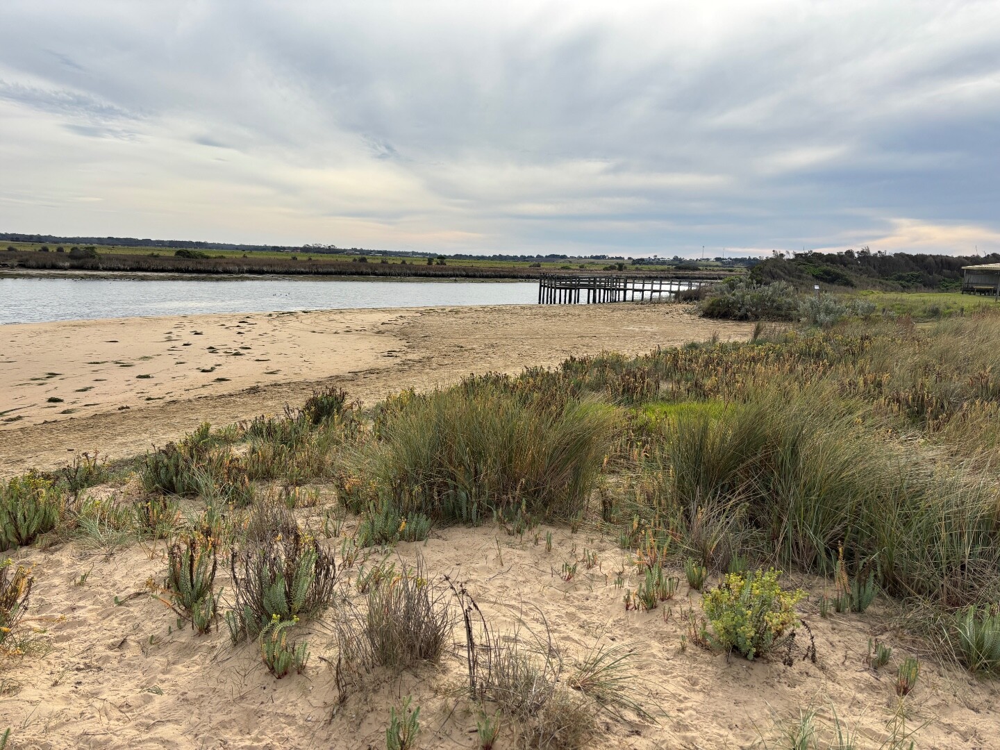
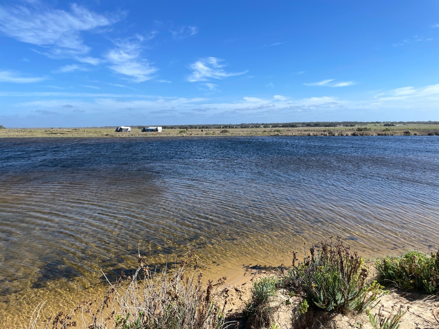
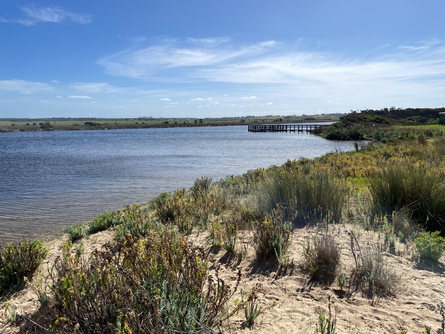
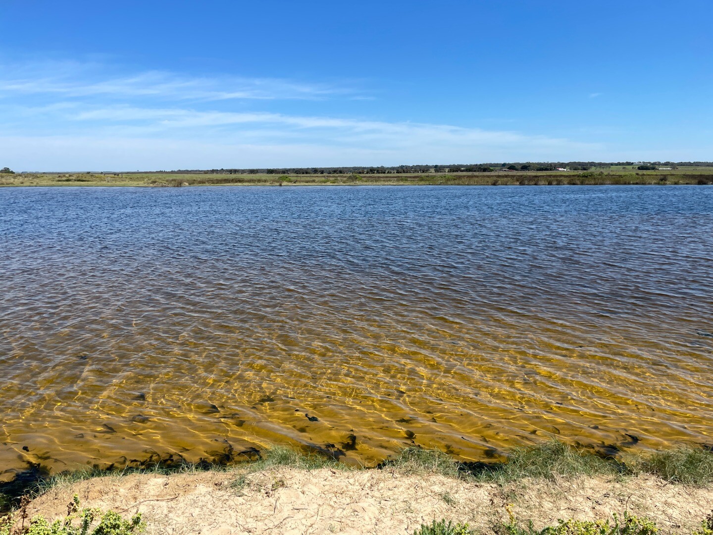
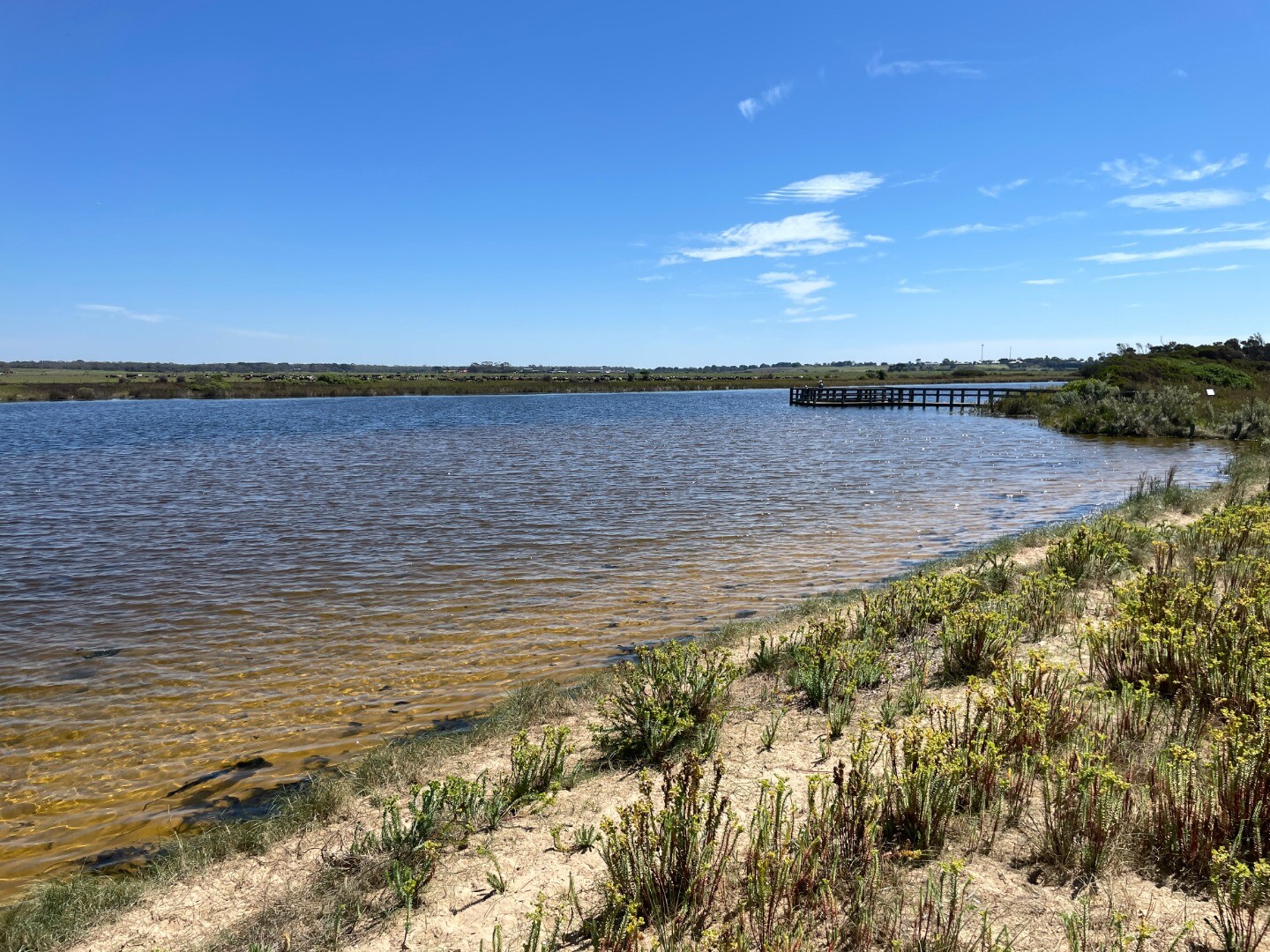
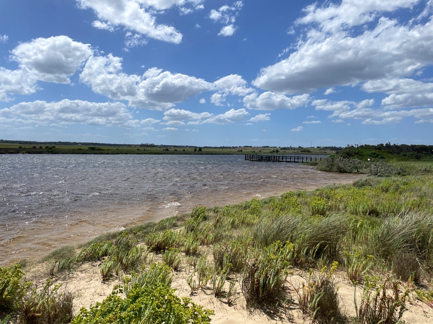
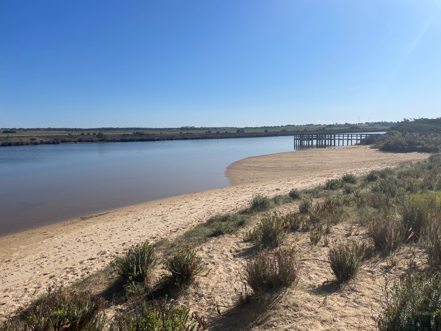
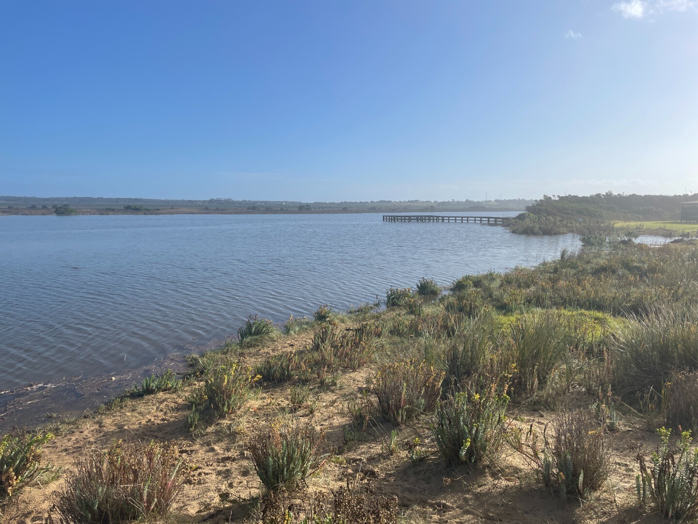
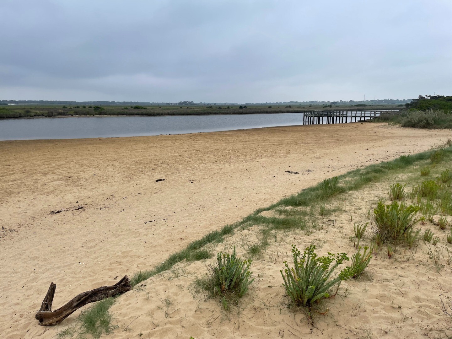
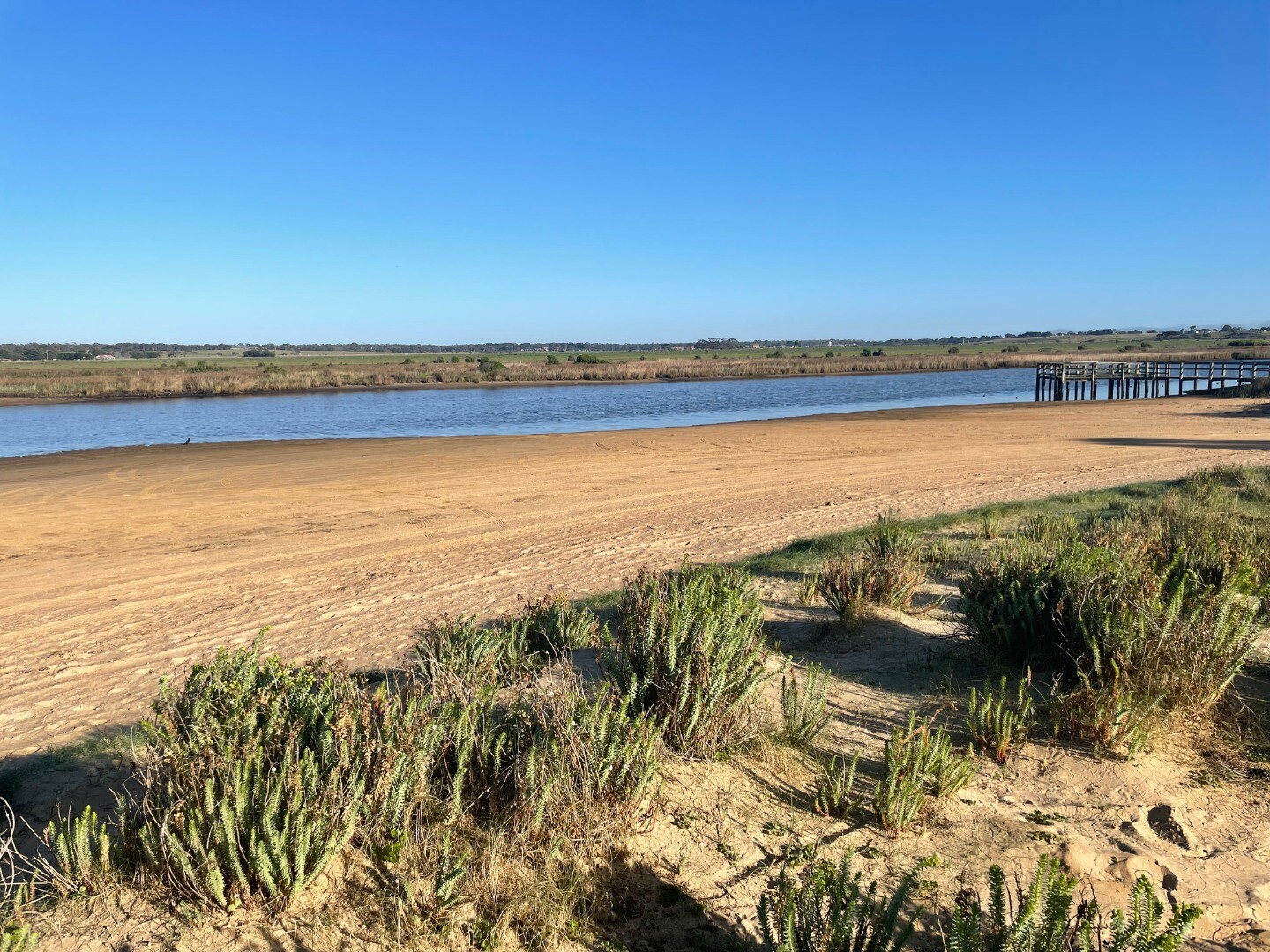
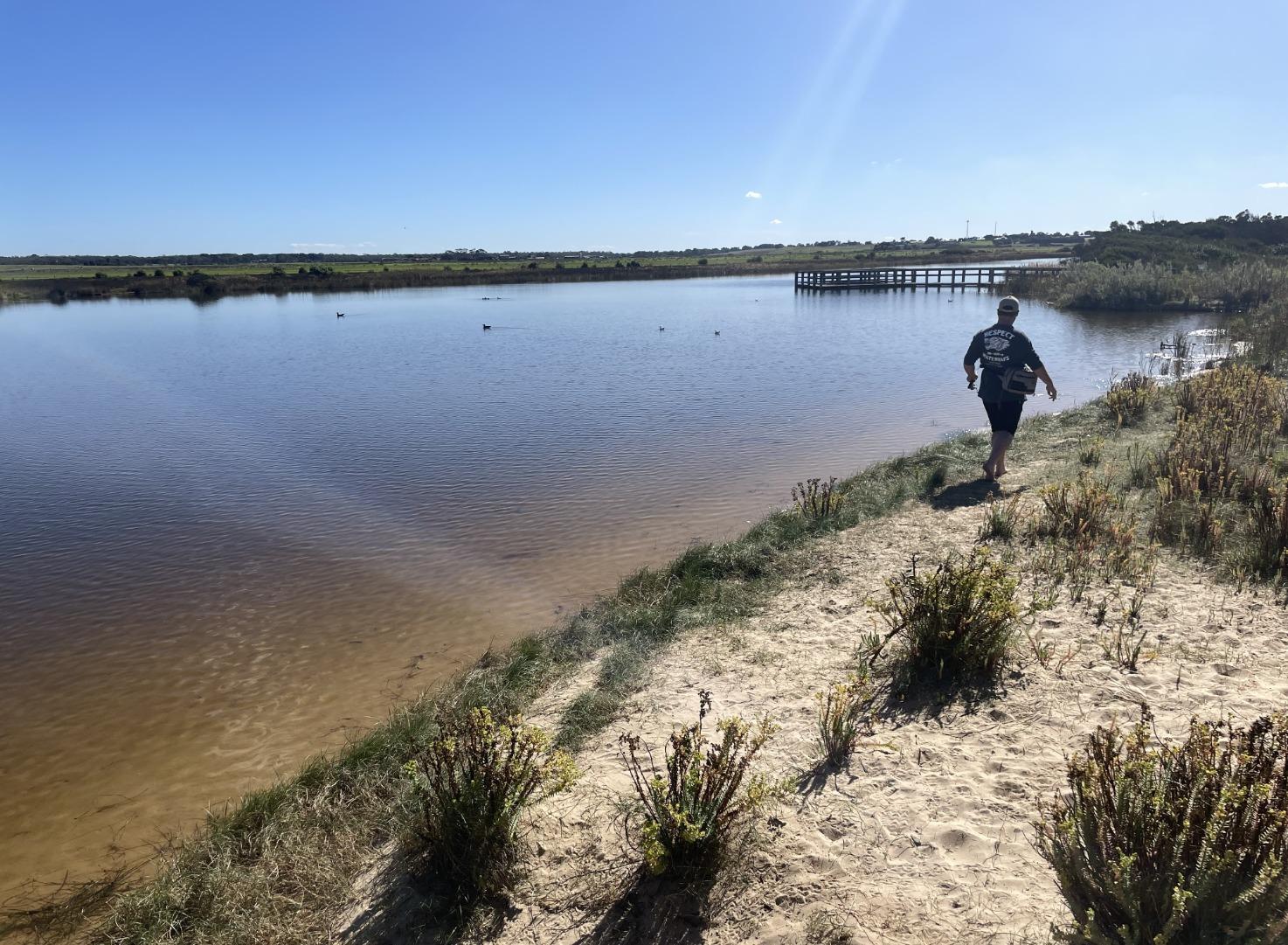
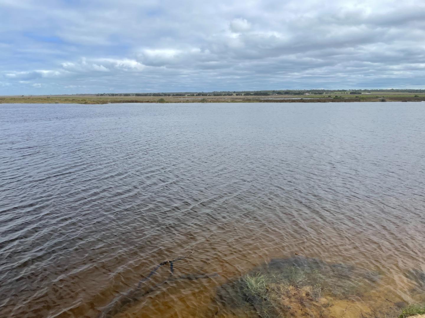
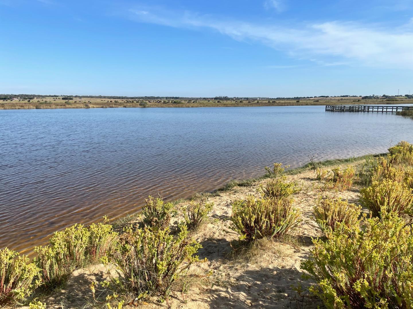
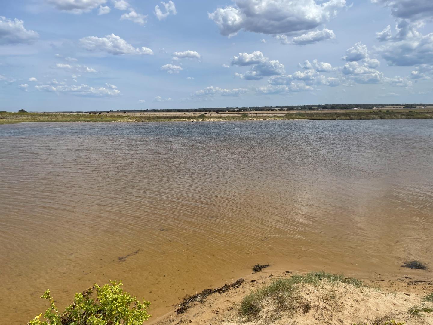
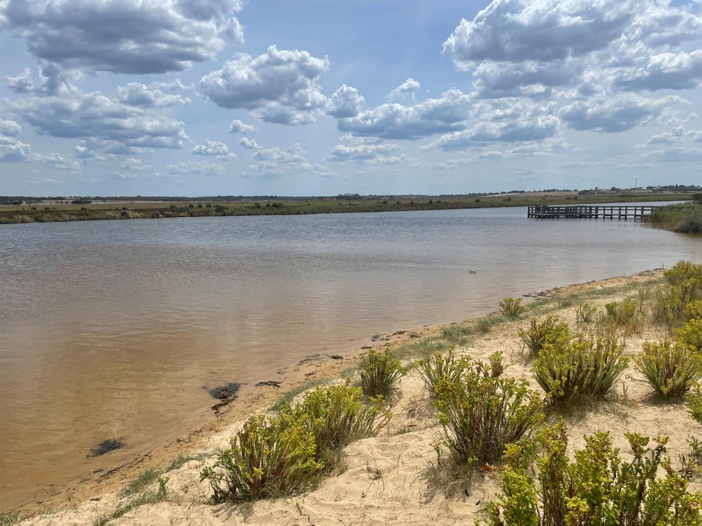
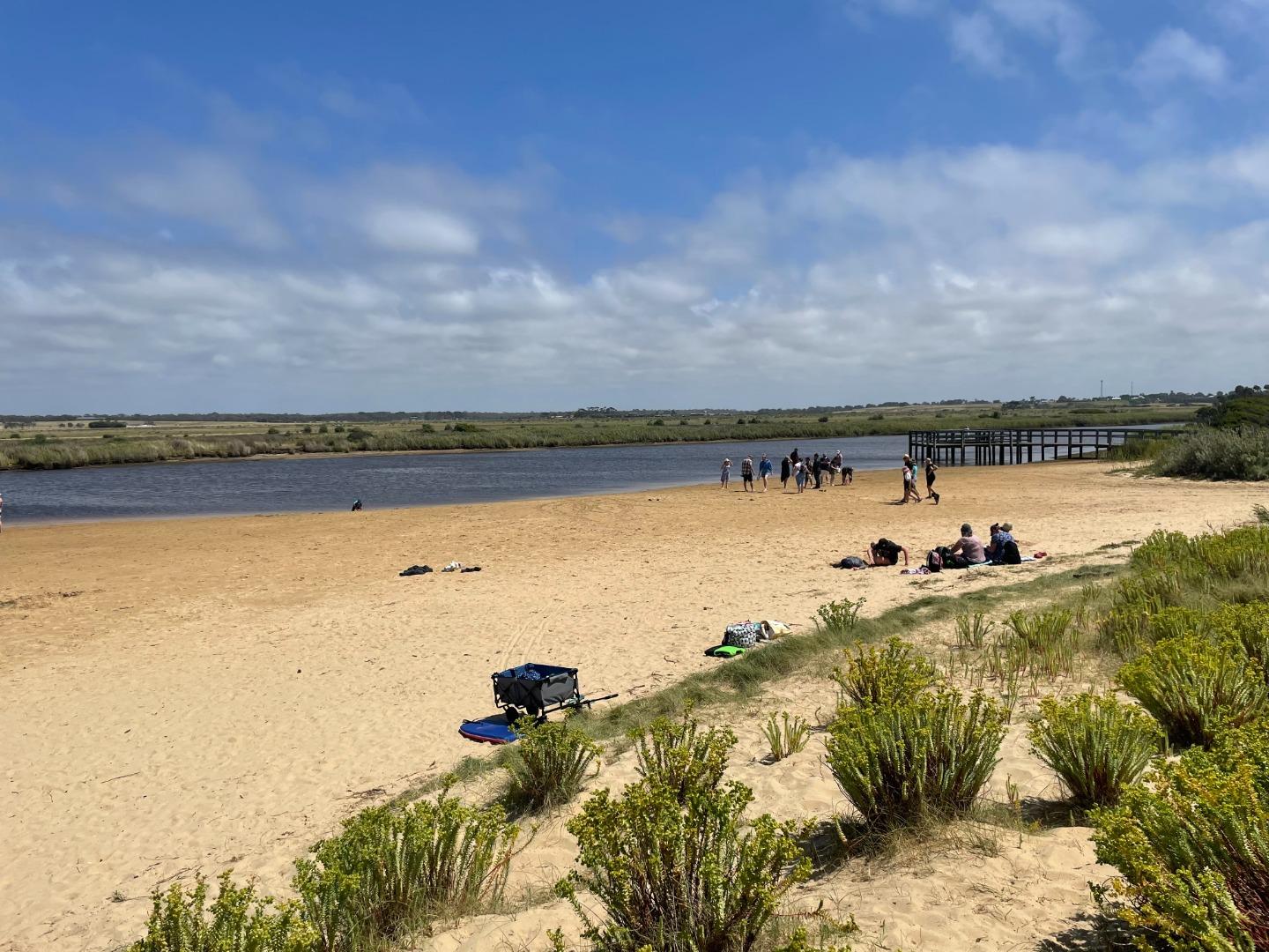
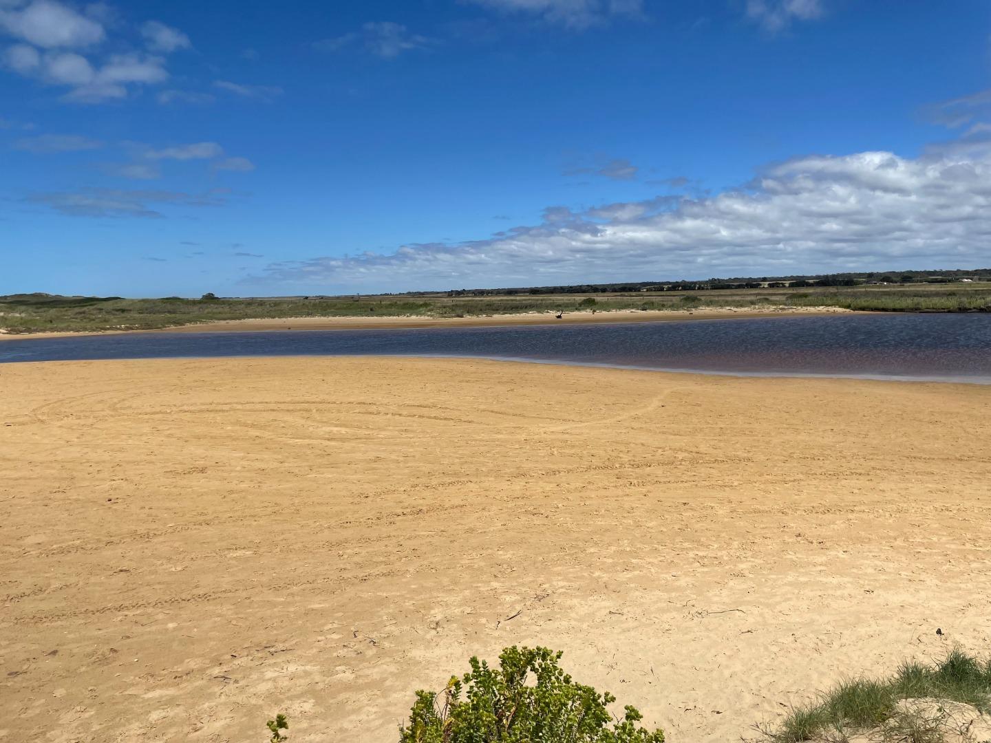
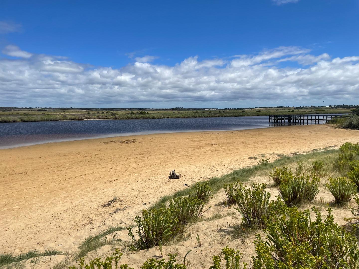
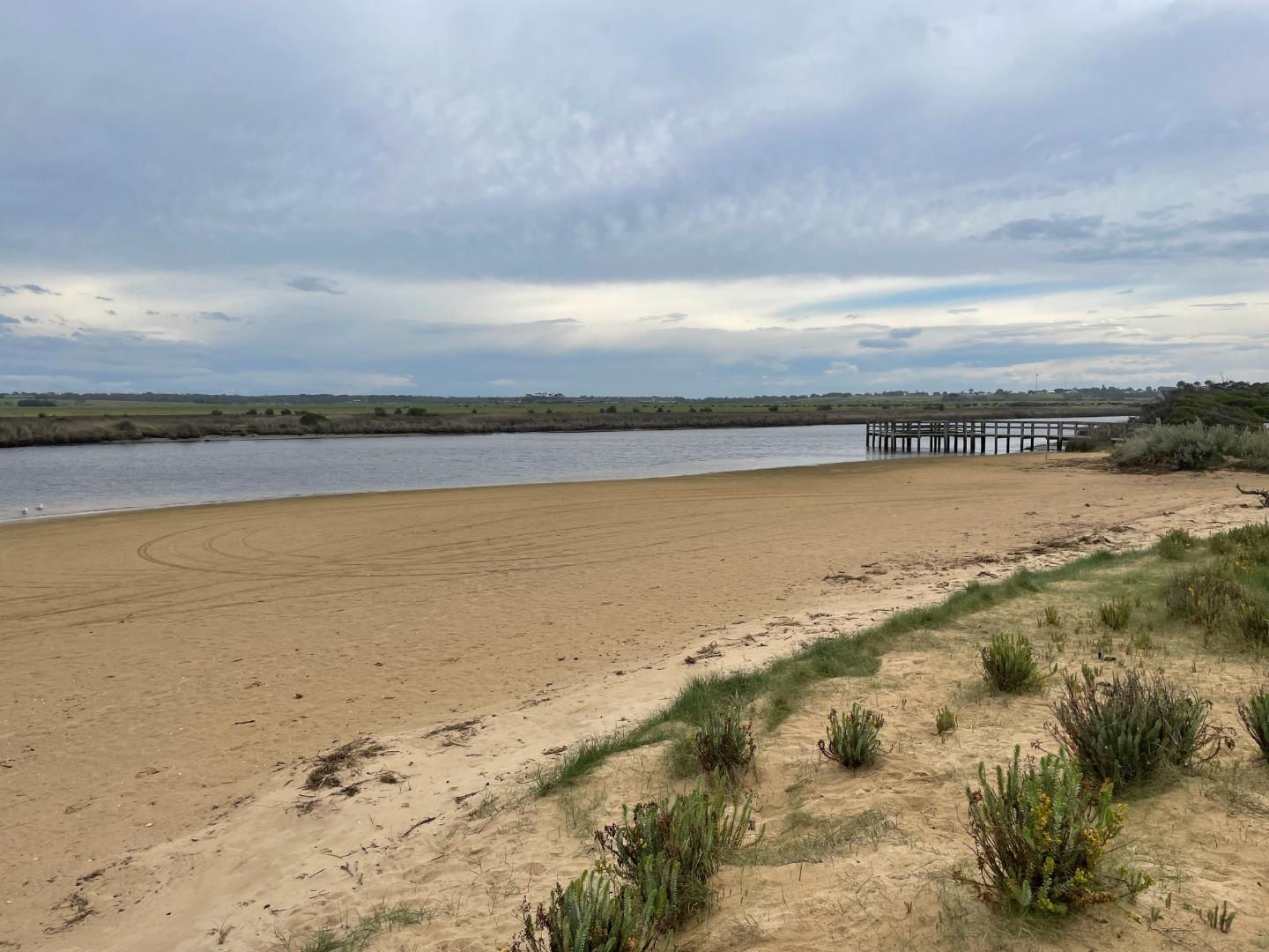
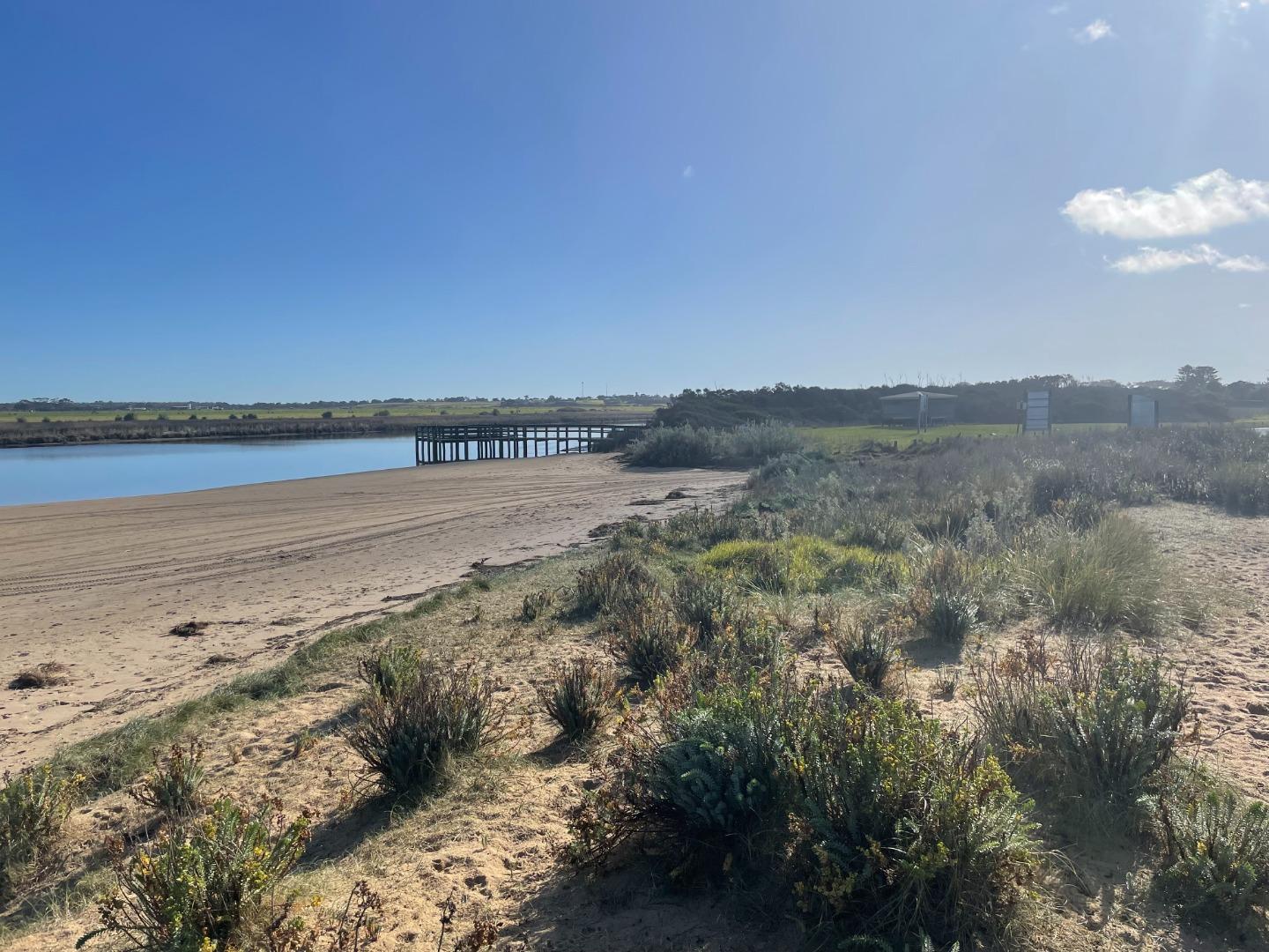
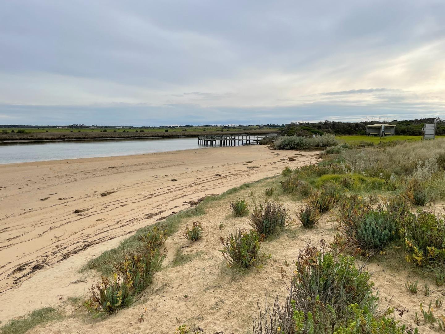
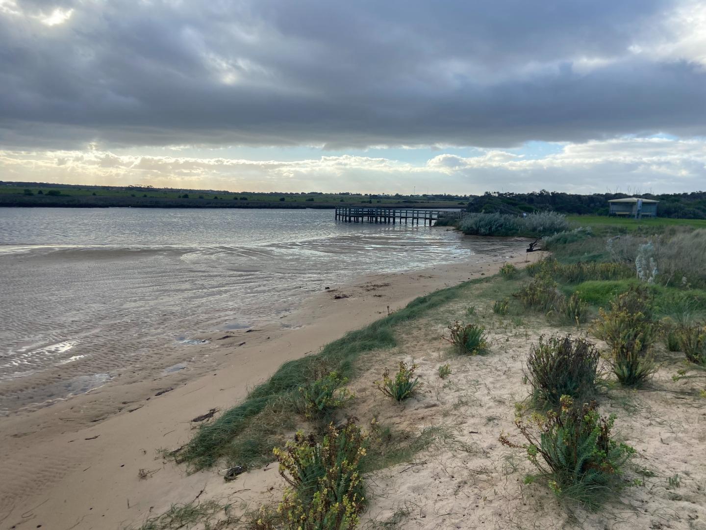
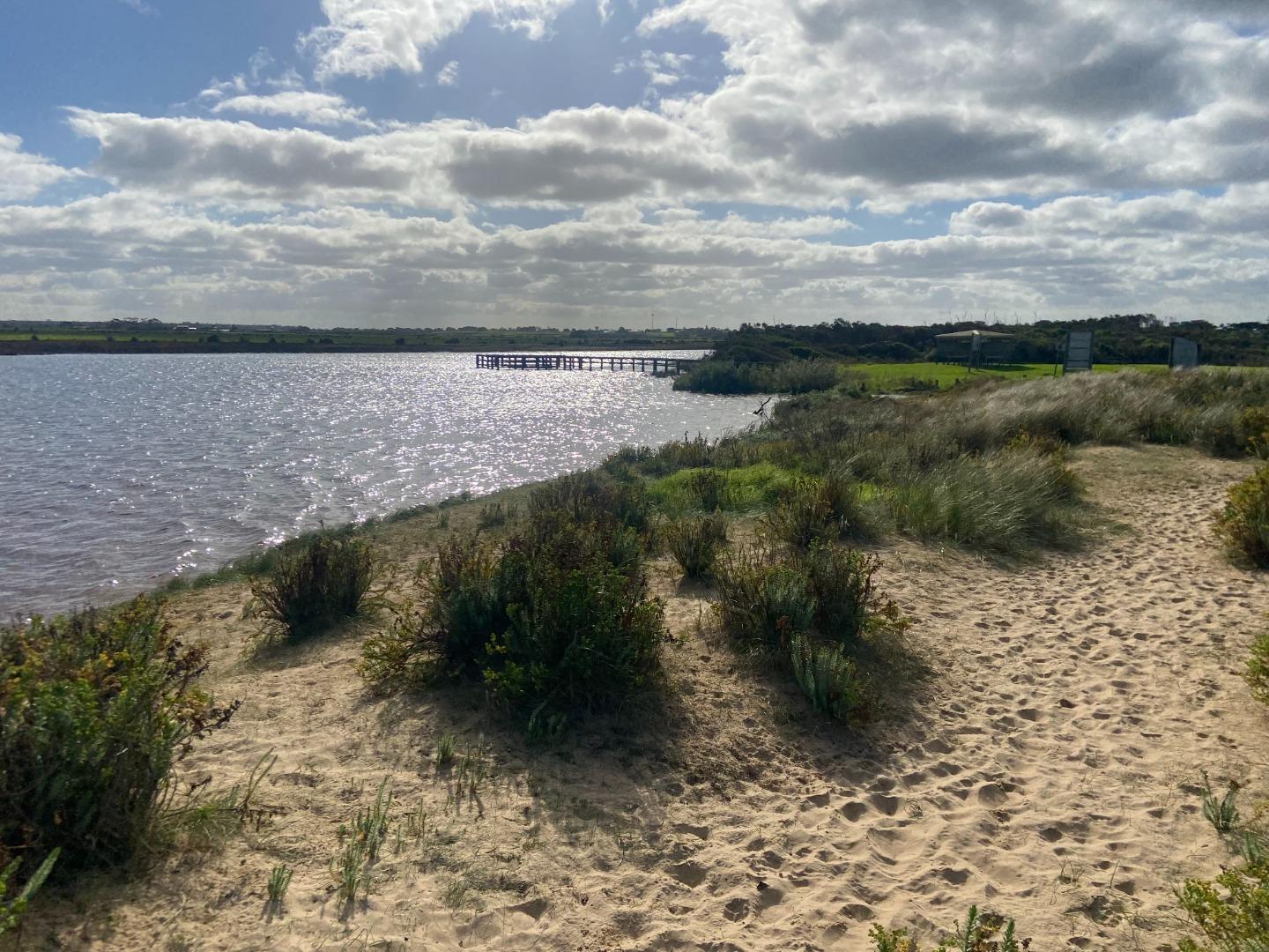
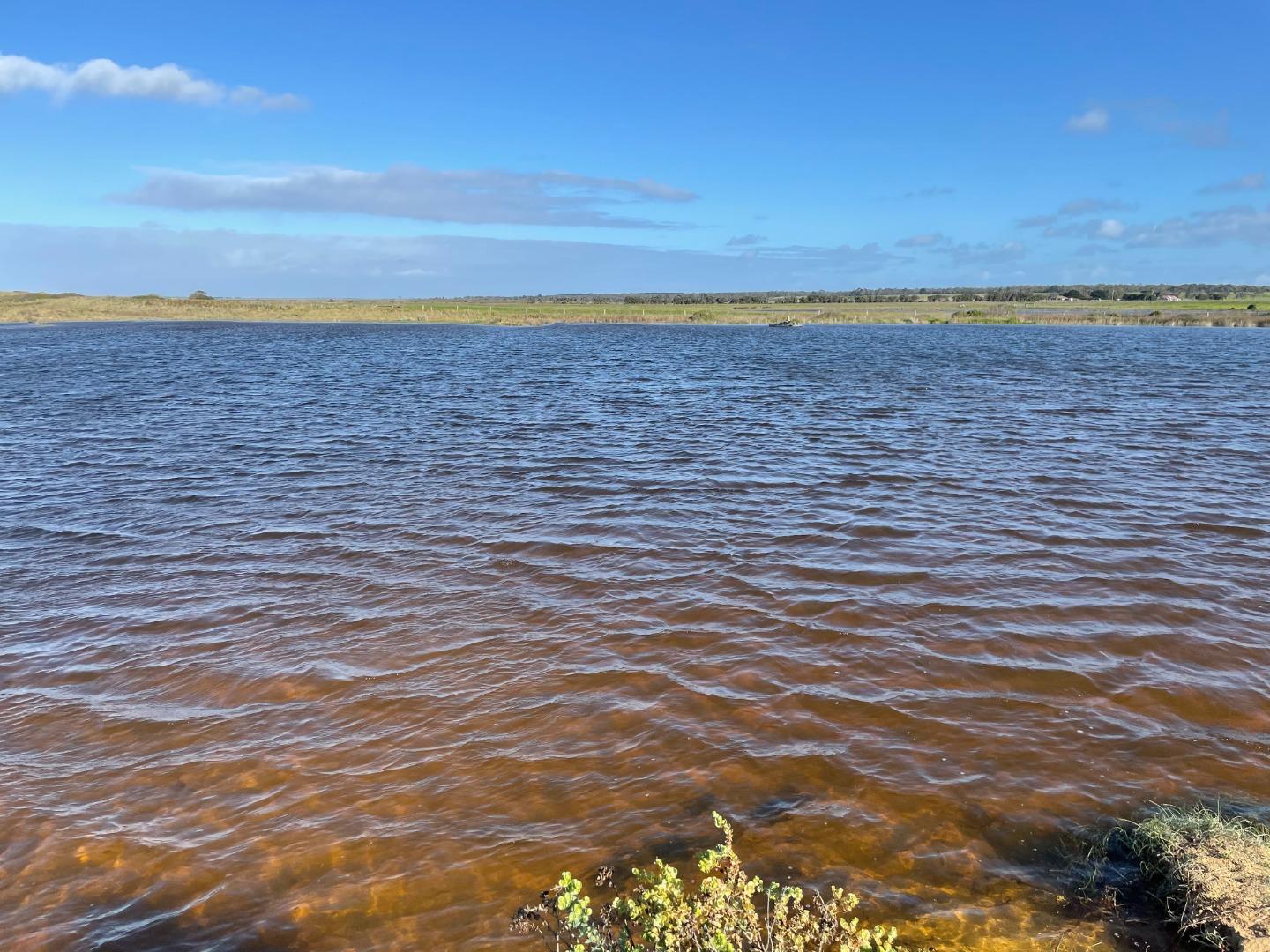
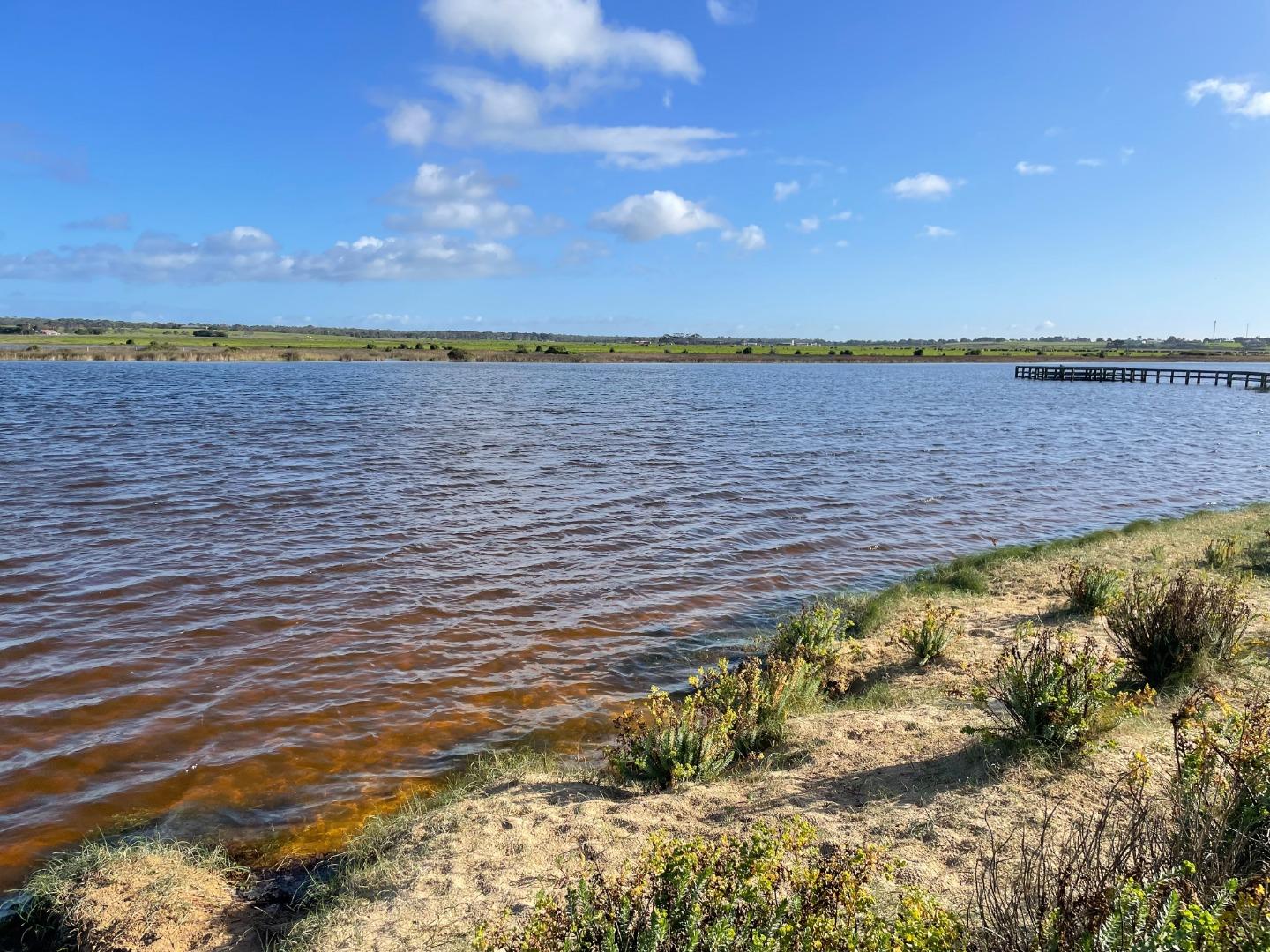
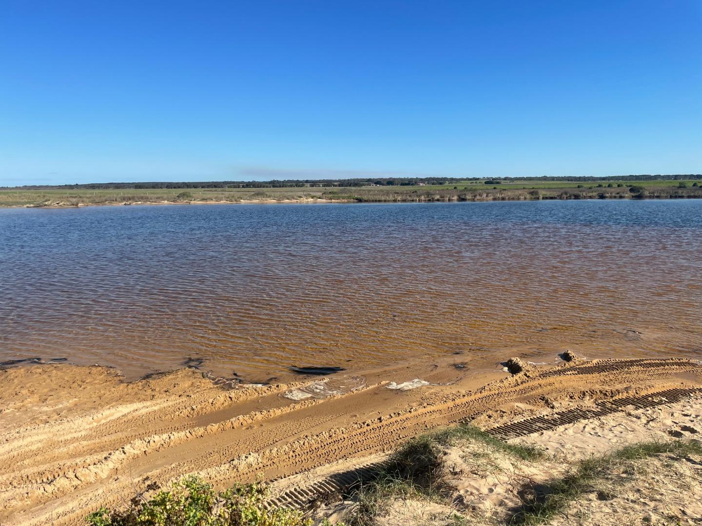
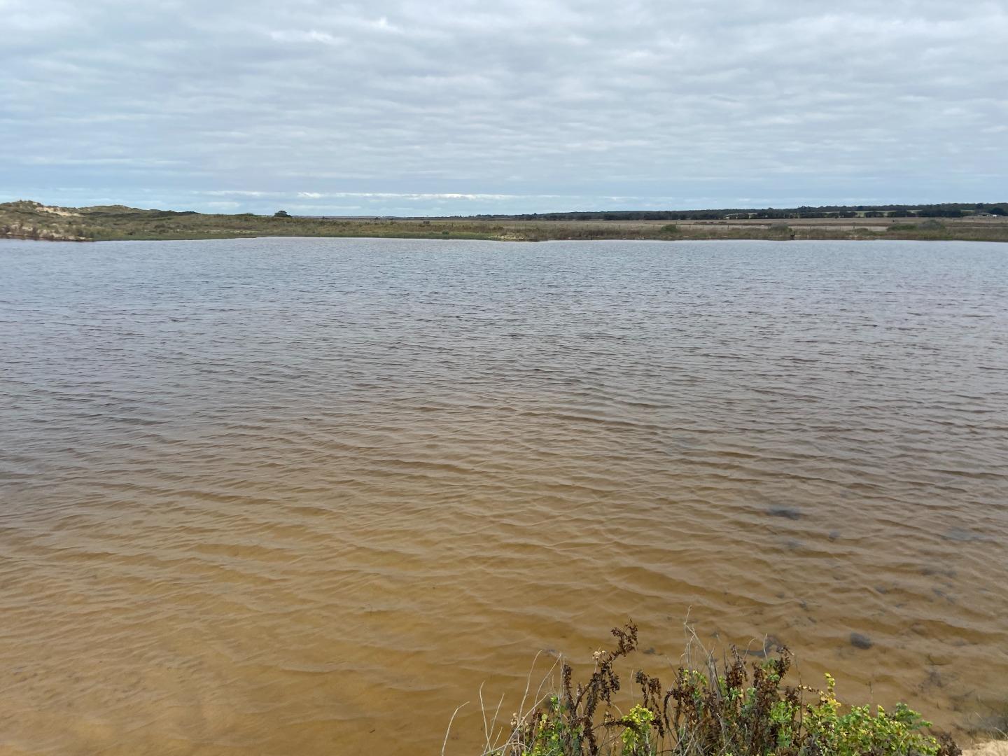
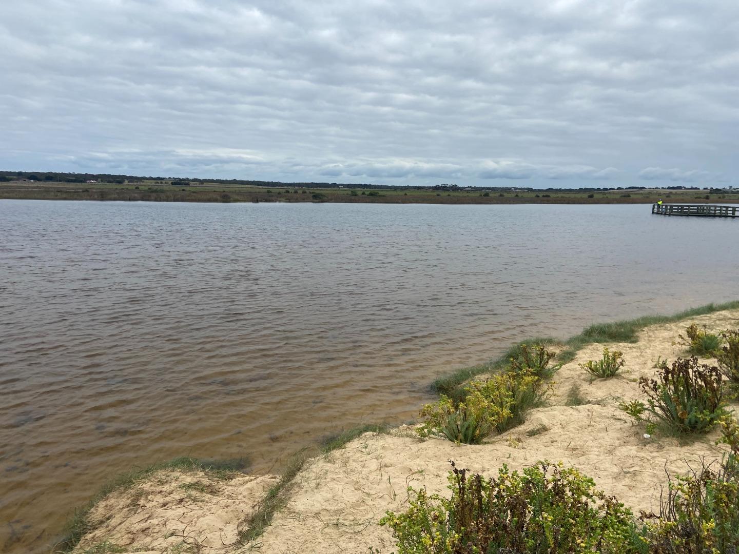
Merriman Creek - fishing platformActive Physico-Chemical 28-08-2020 - 03-06-2026Head to the end of Trodd Street and park in the Seaspray Public Purposes Reserve at the end of Trood Street Measure from the Fishing Platform closest to the mouth and furthest into the creek Observations 76 |
MCMC |
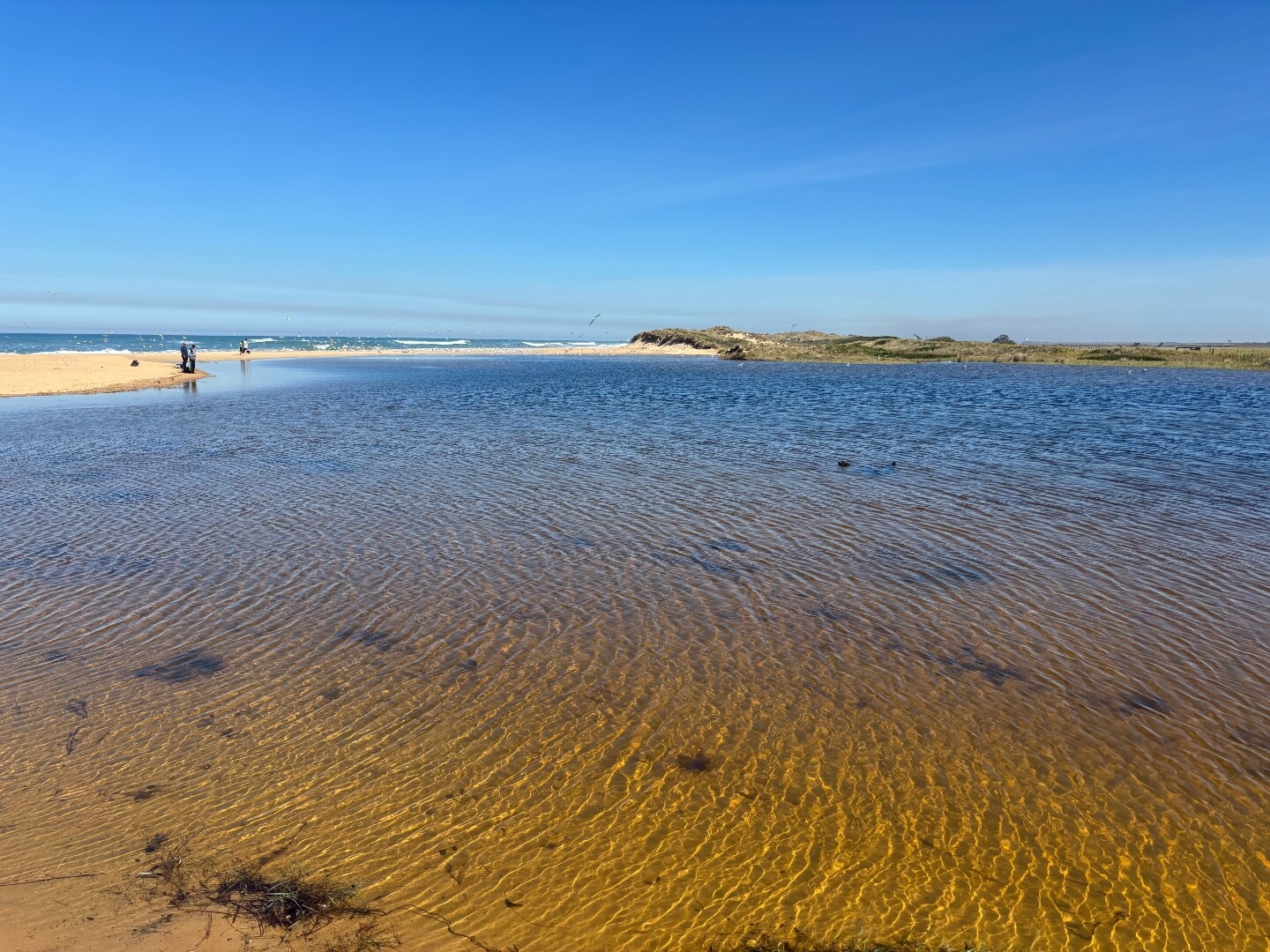
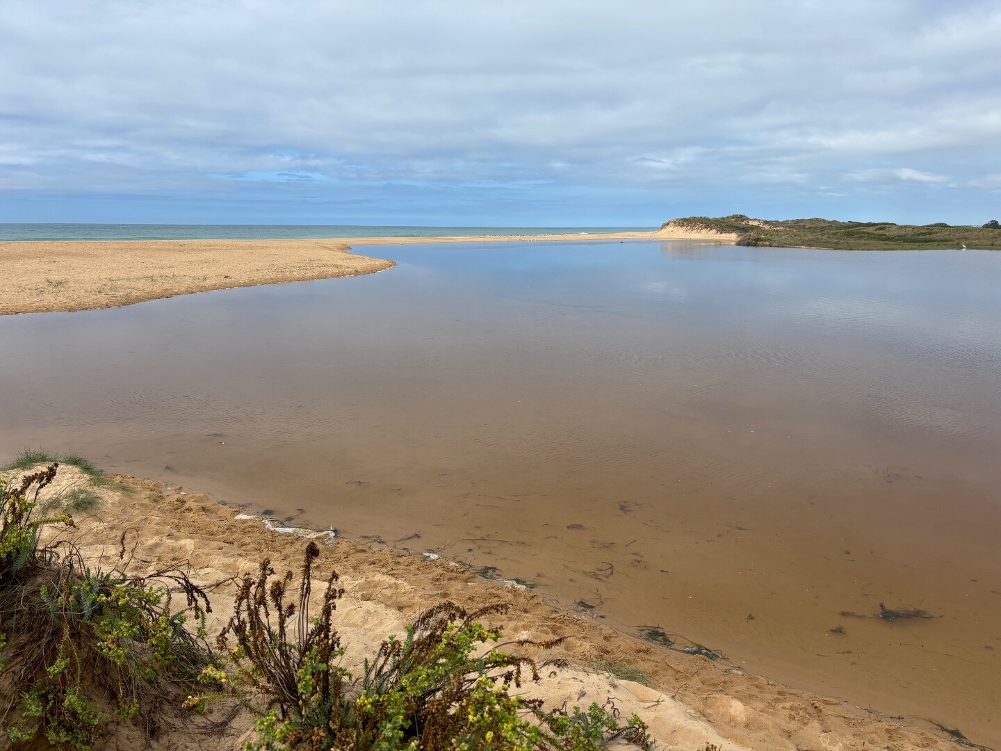
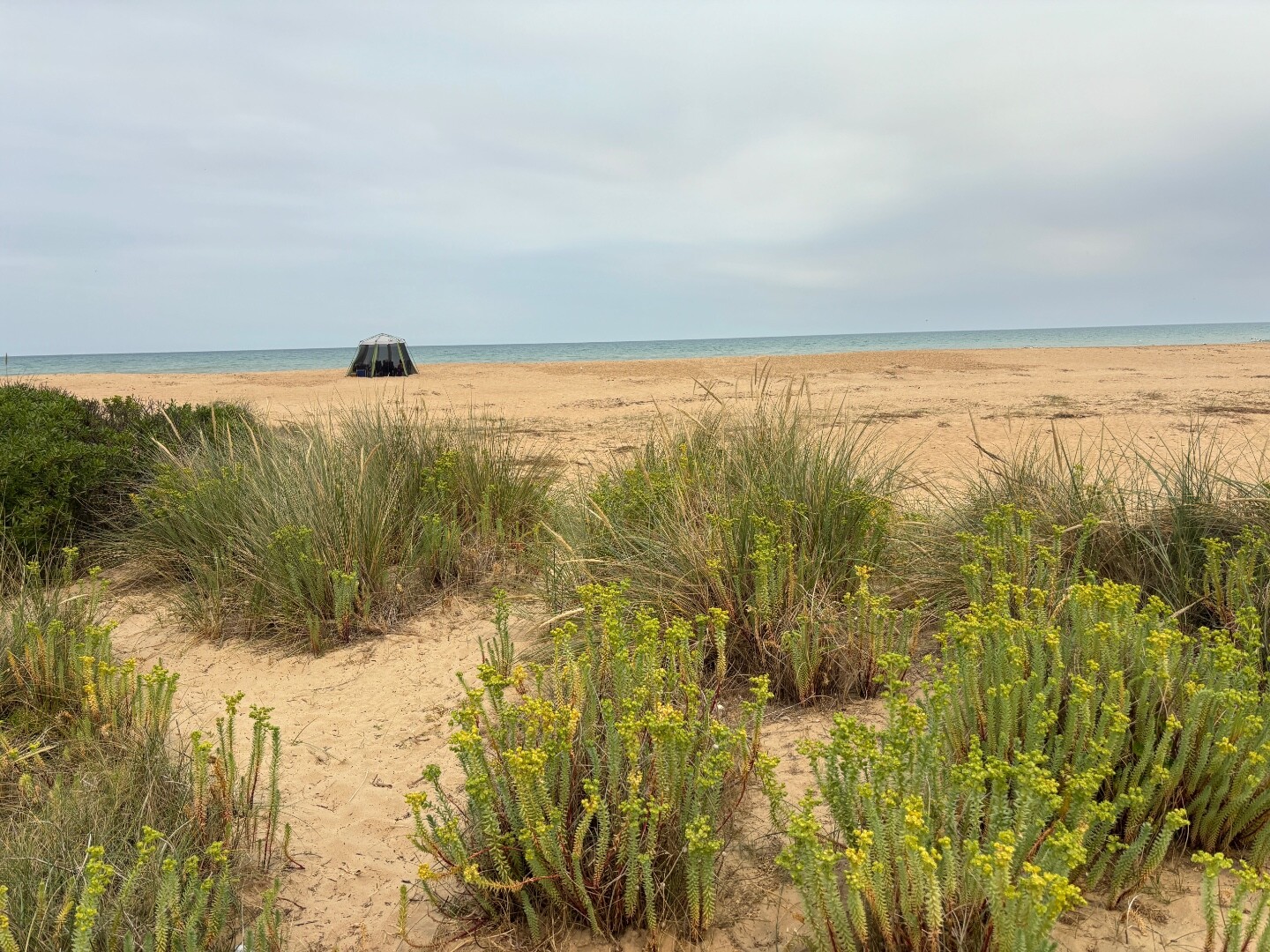
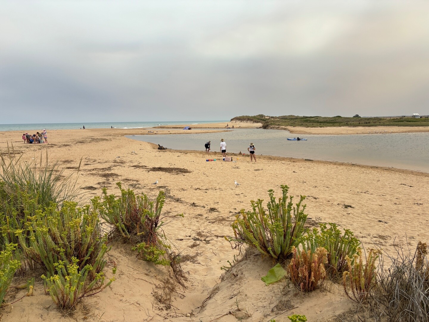
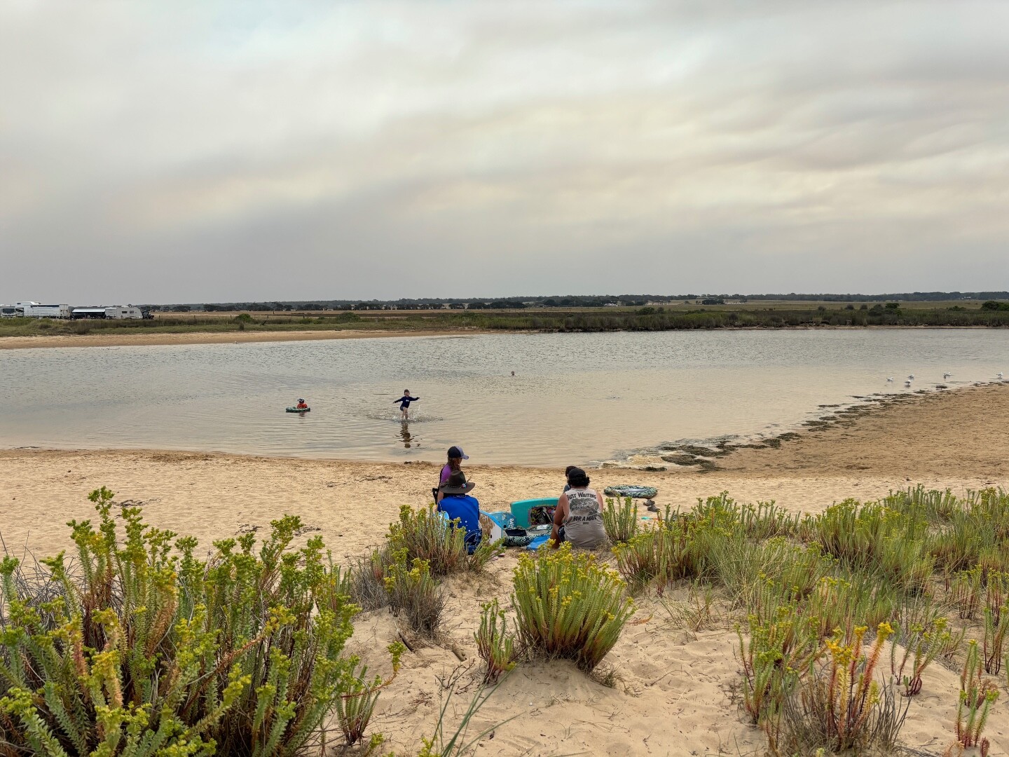
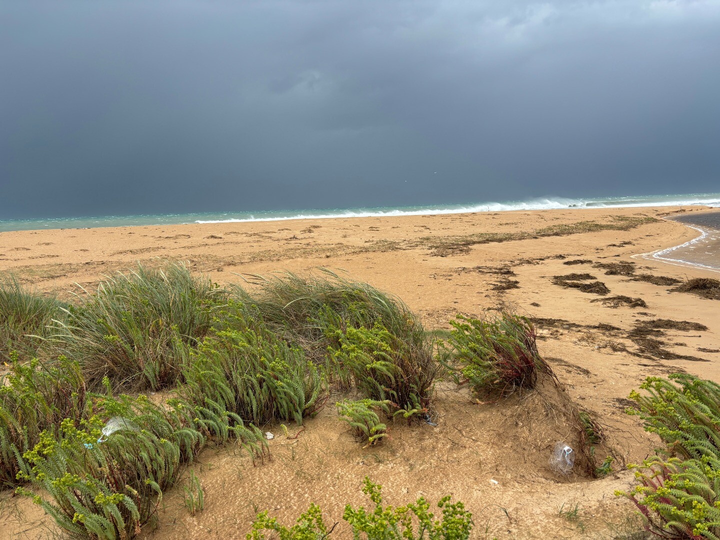
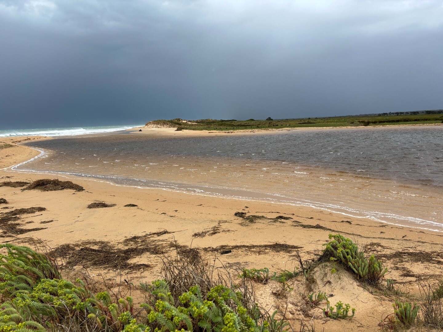
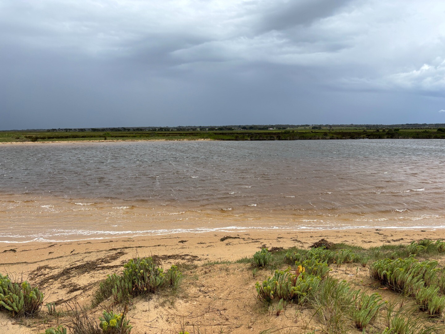
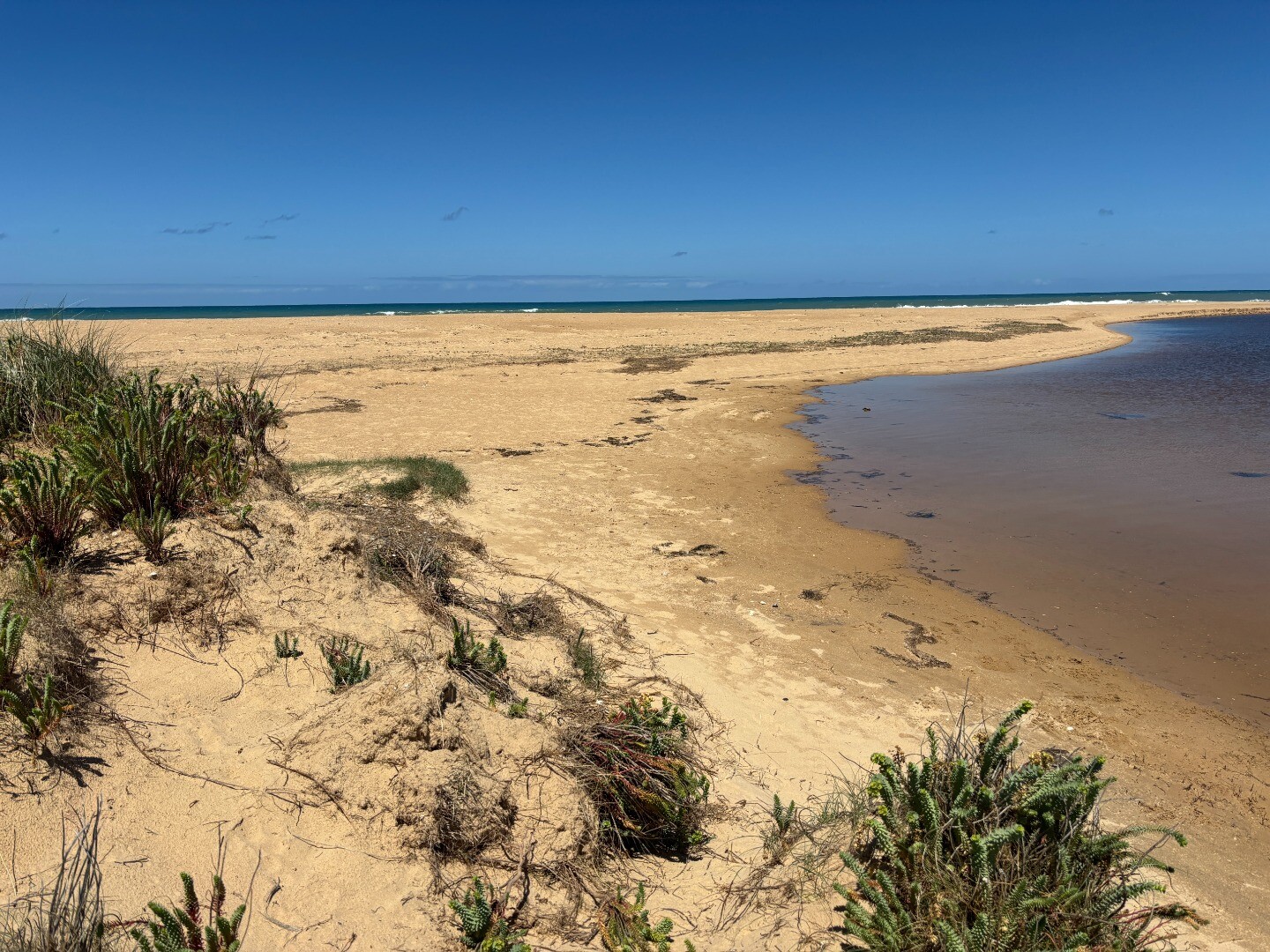
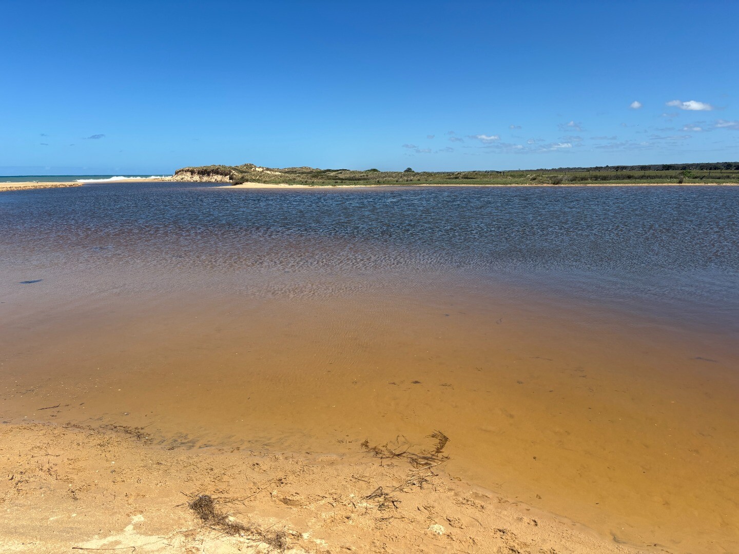
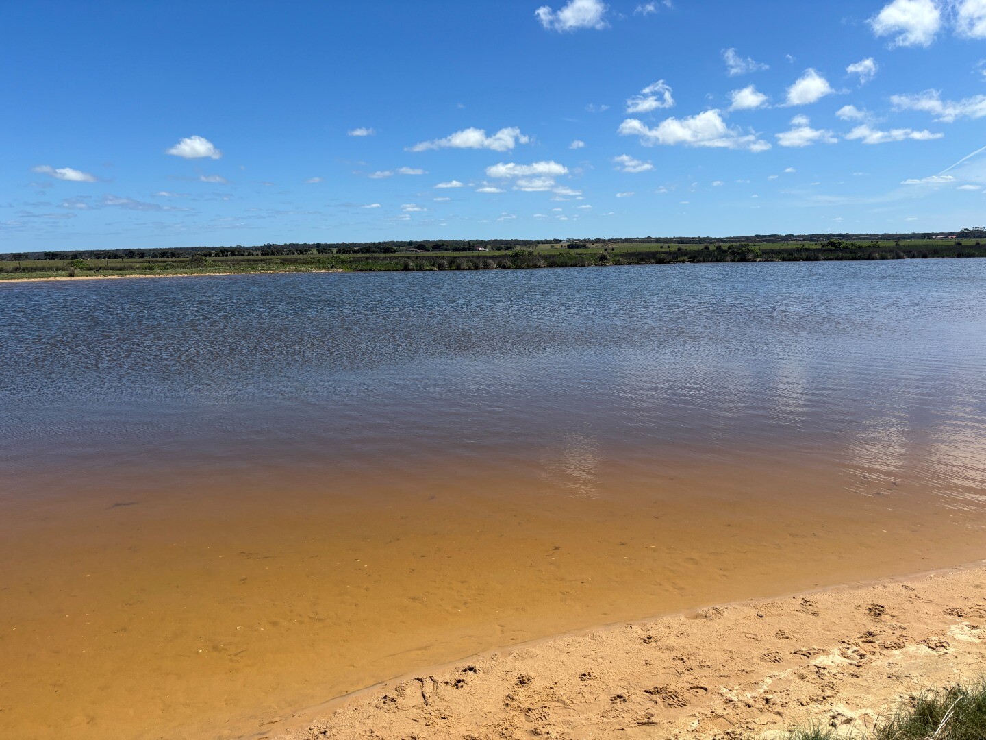
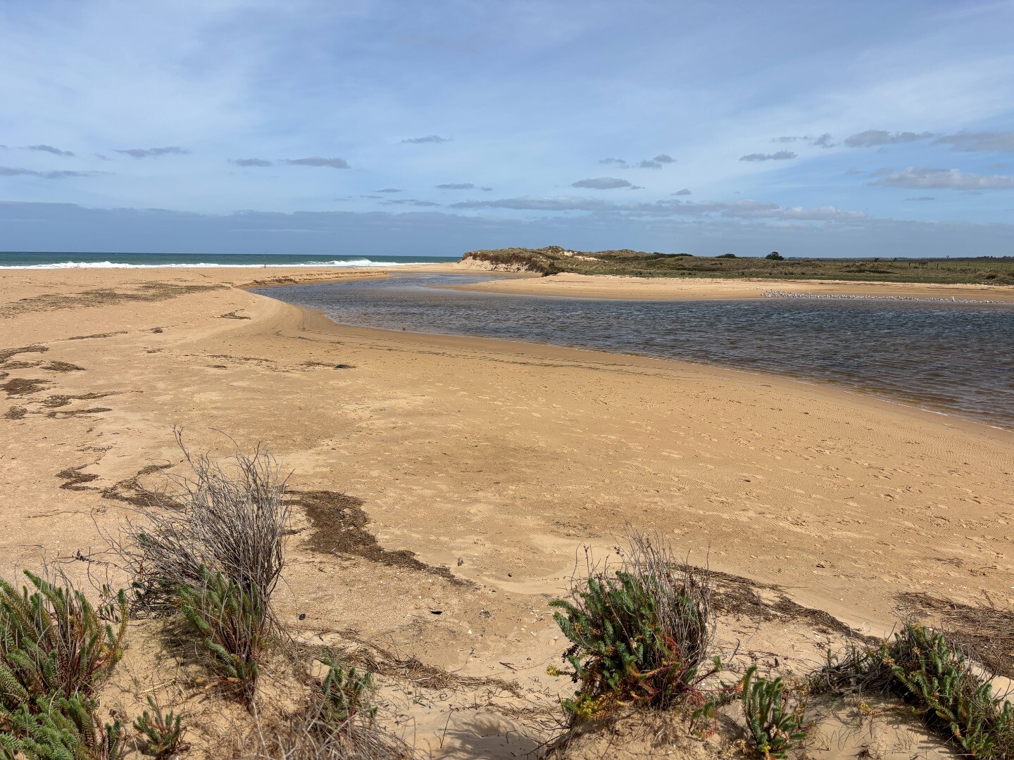
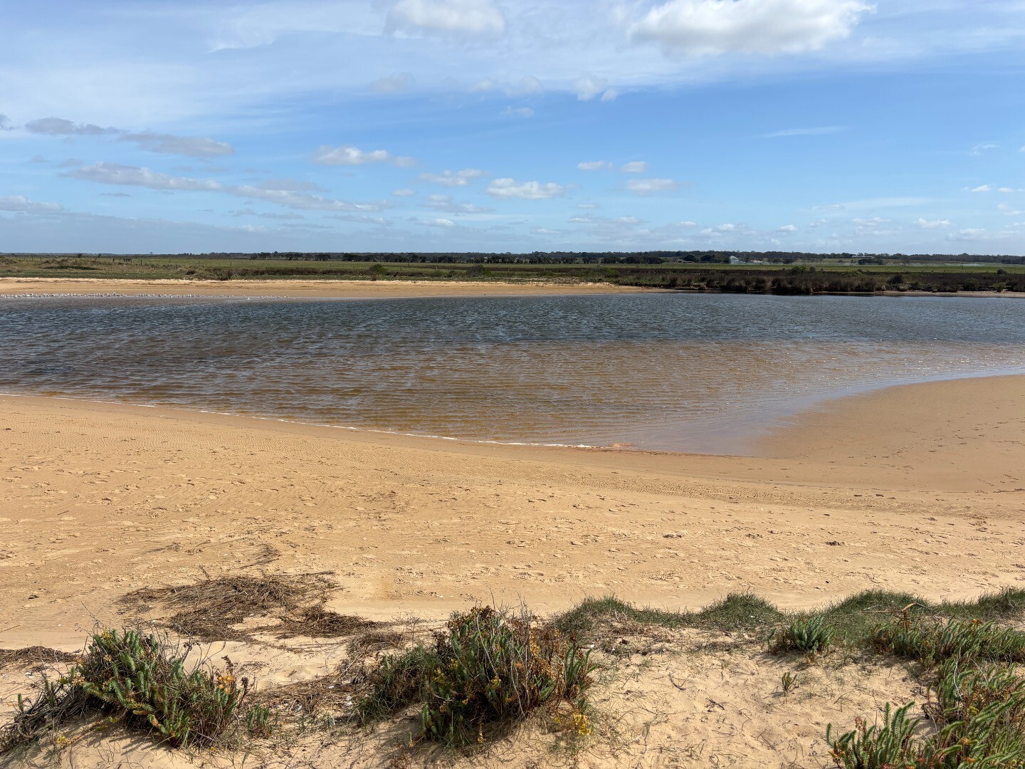
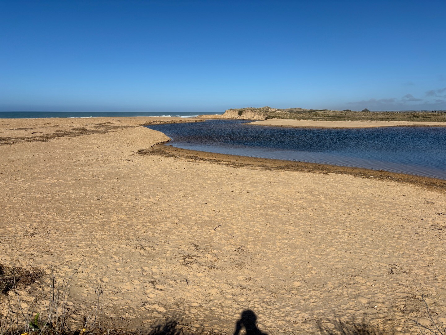
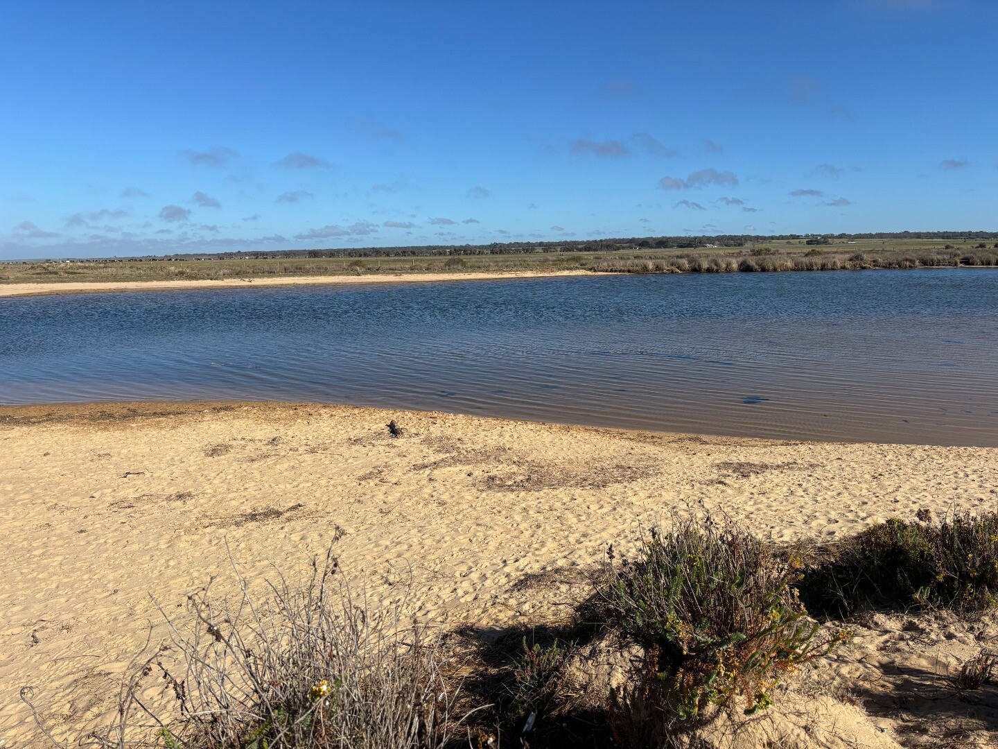
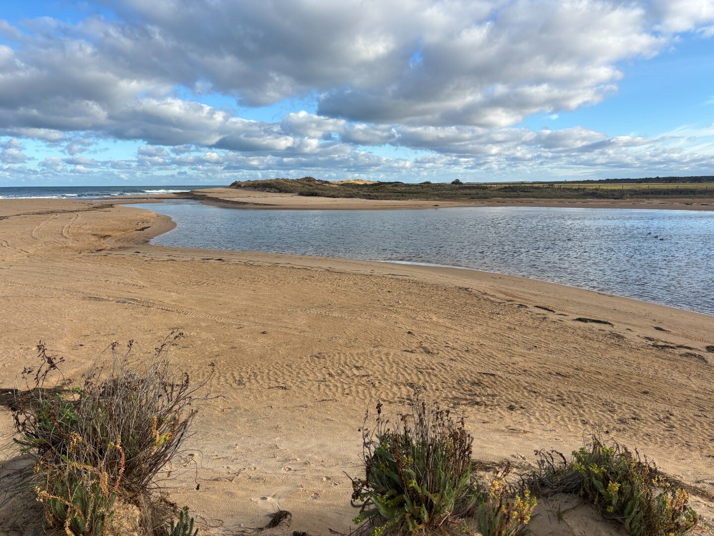
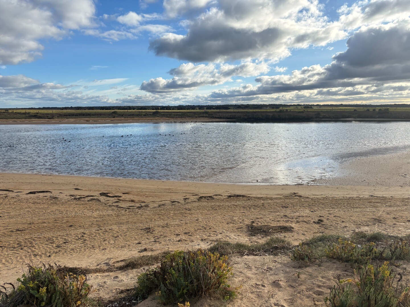
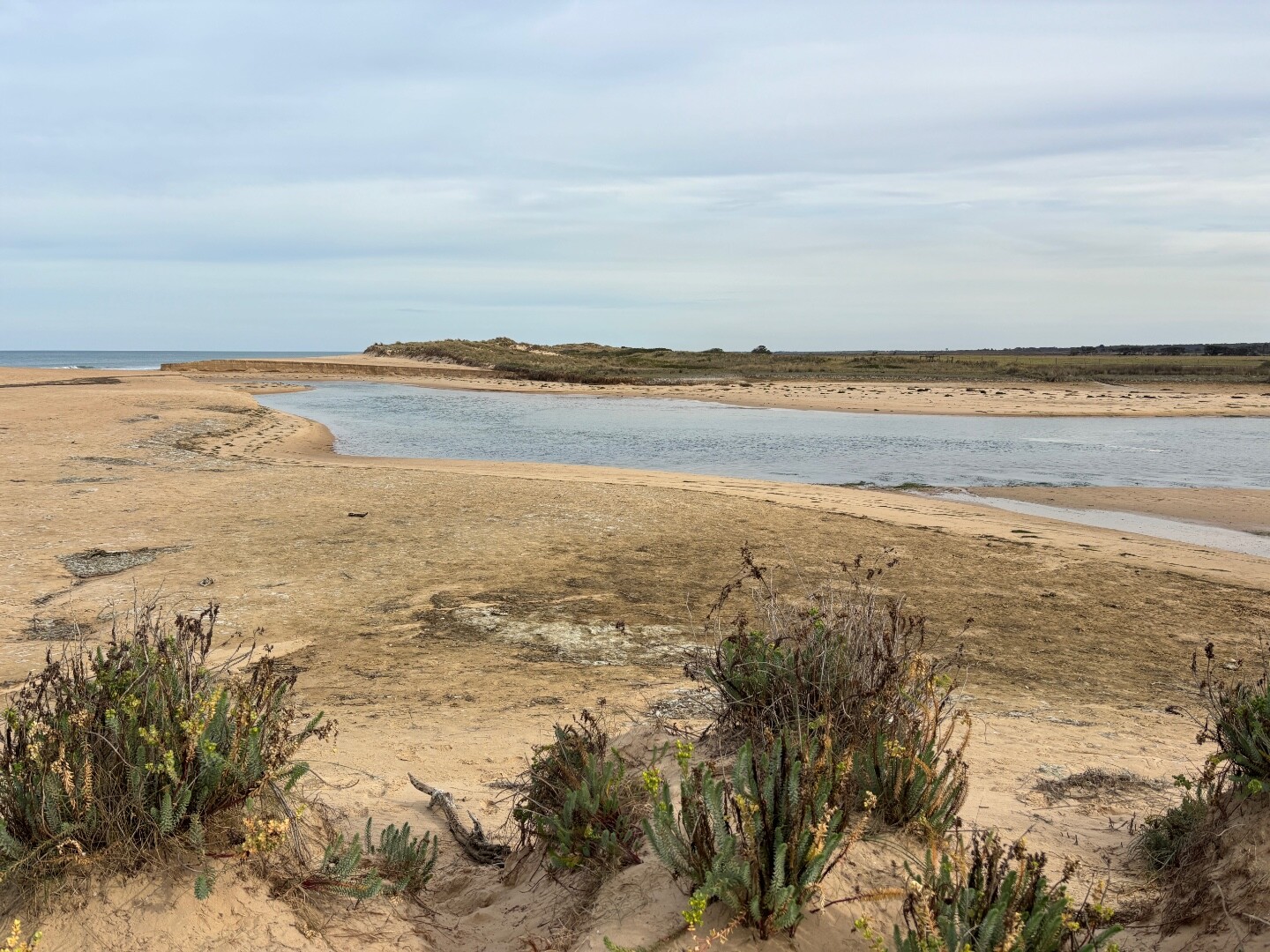
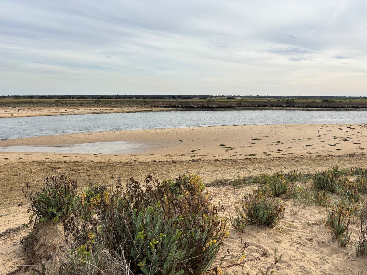
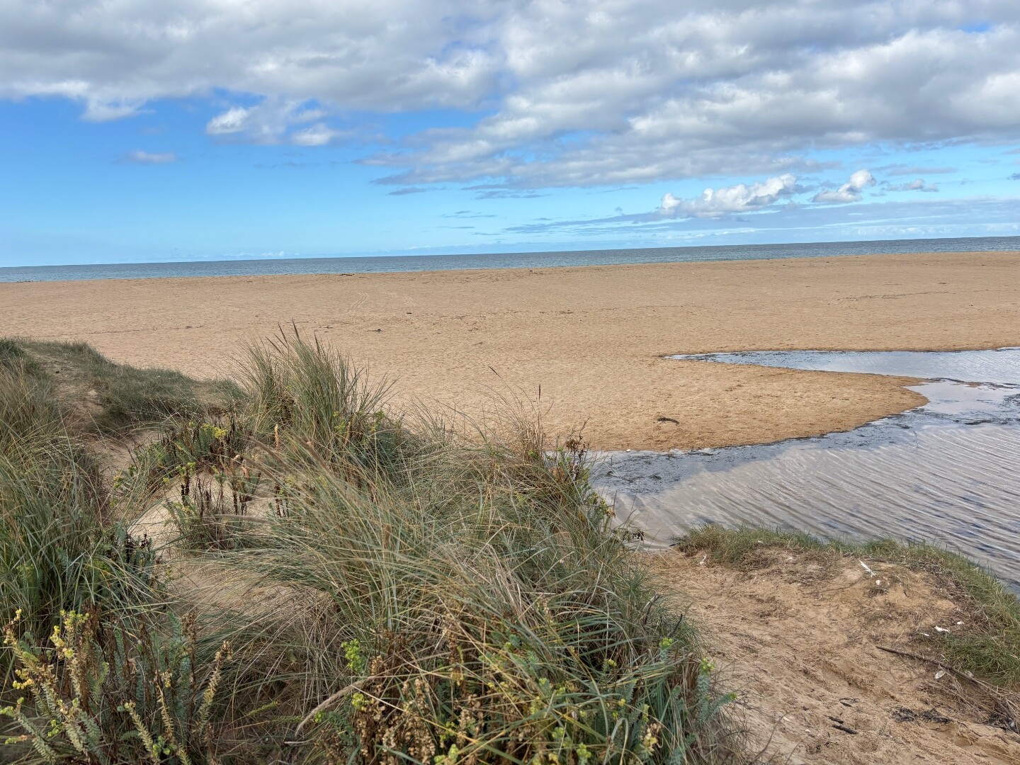
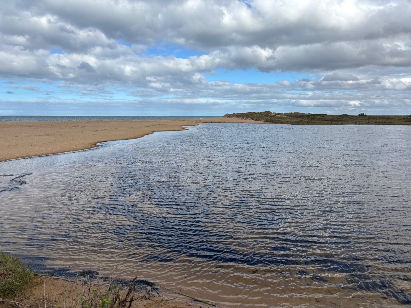
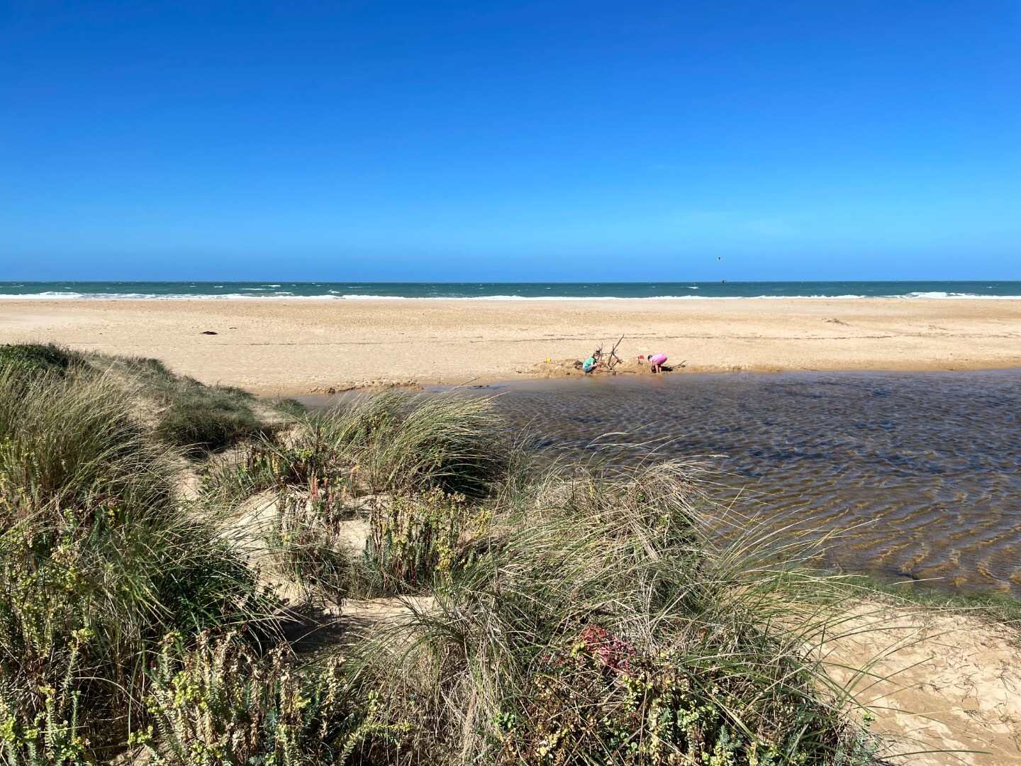
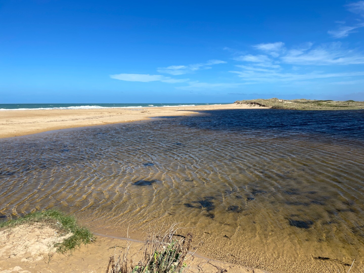
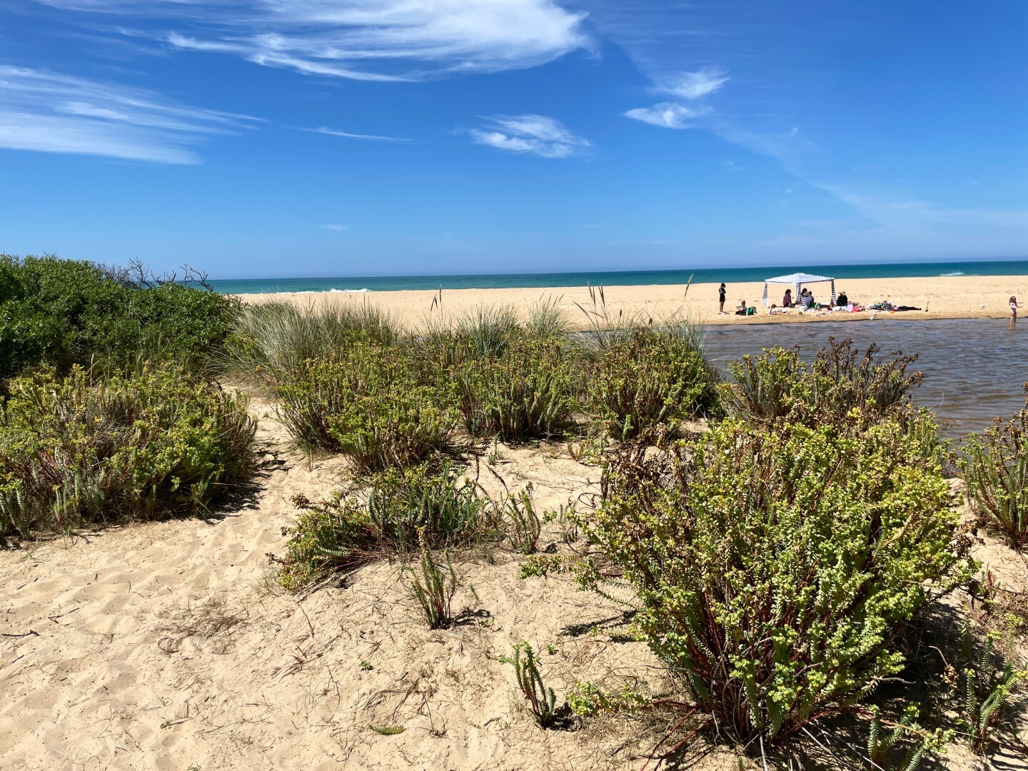
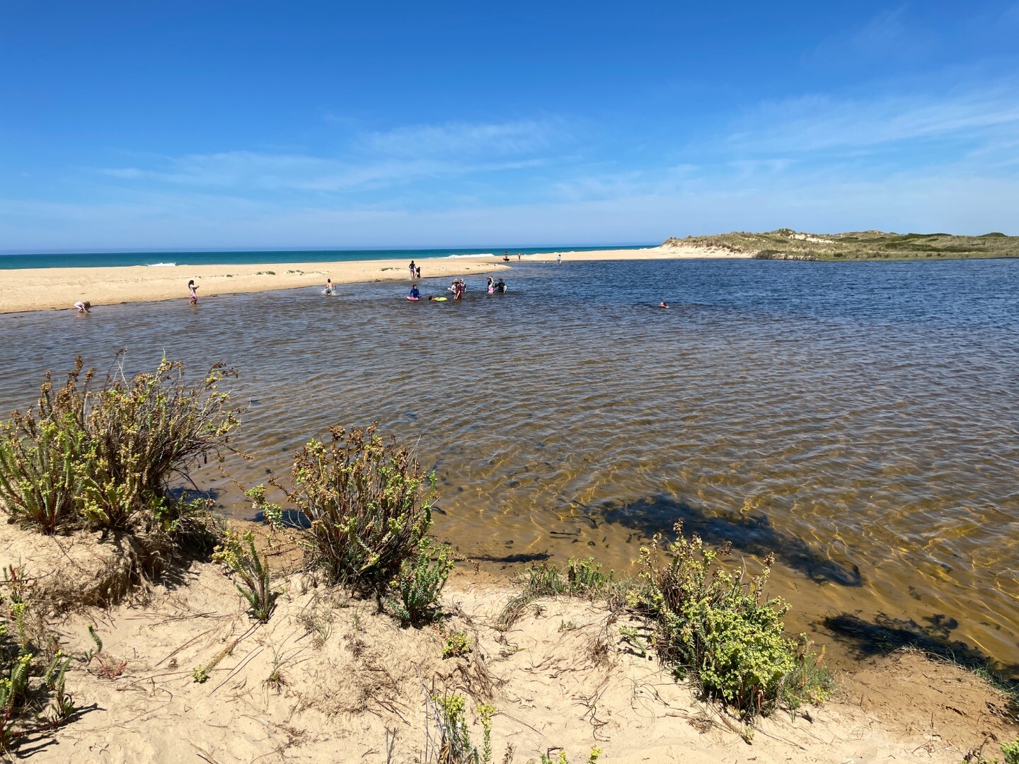
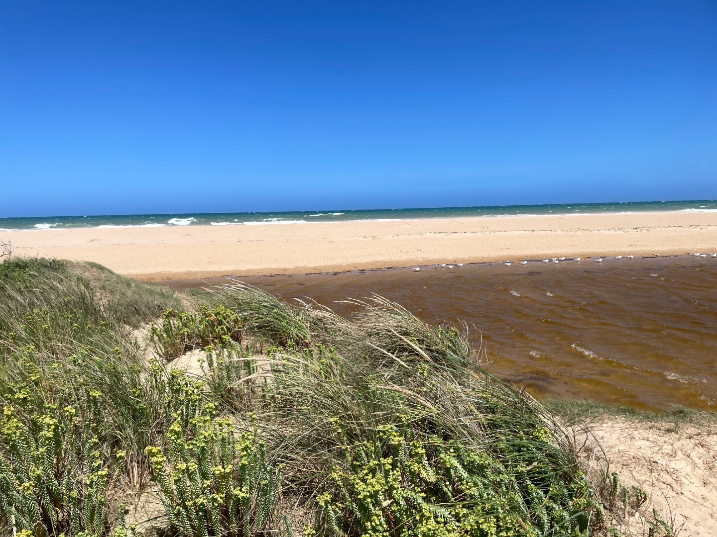
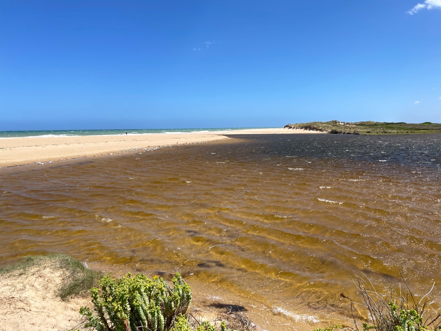
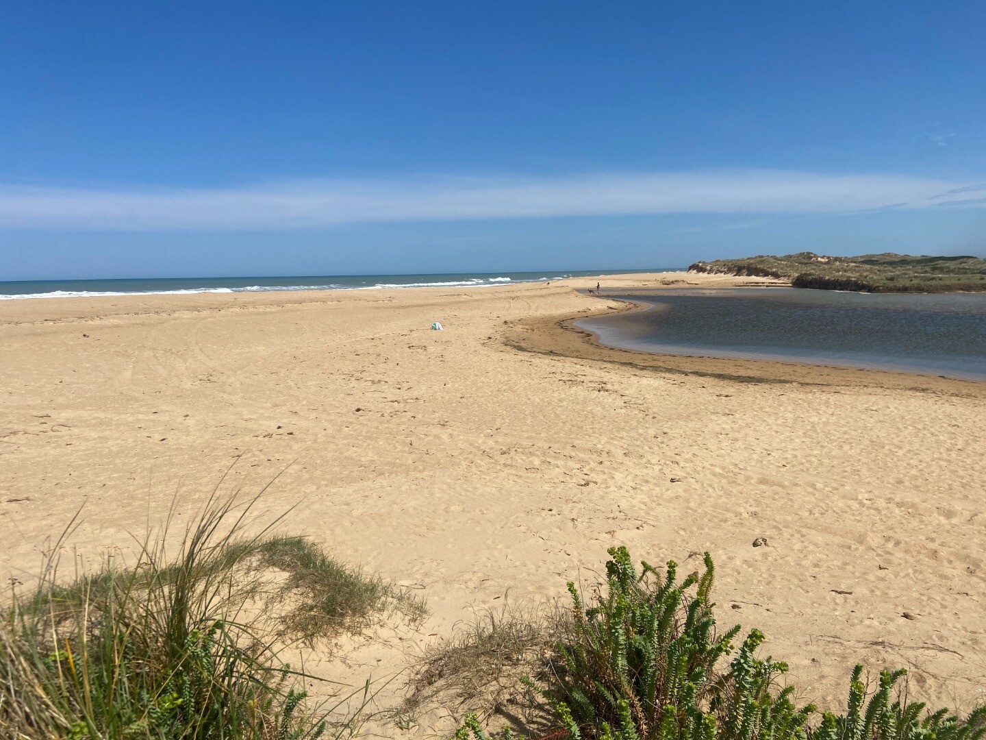
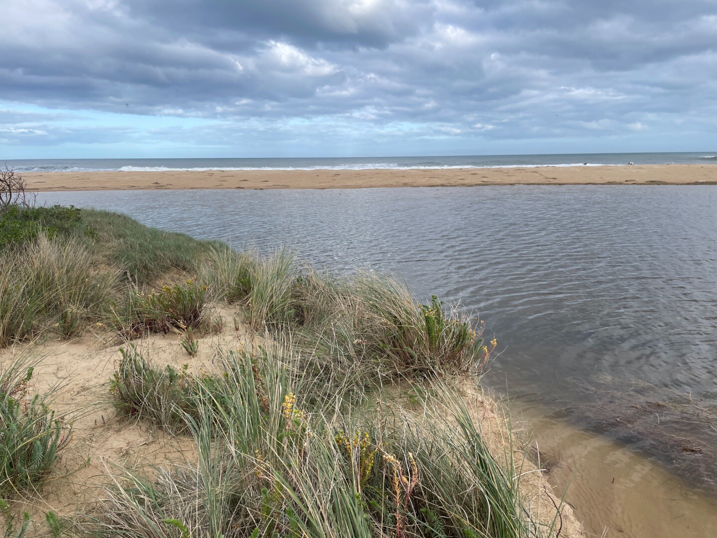
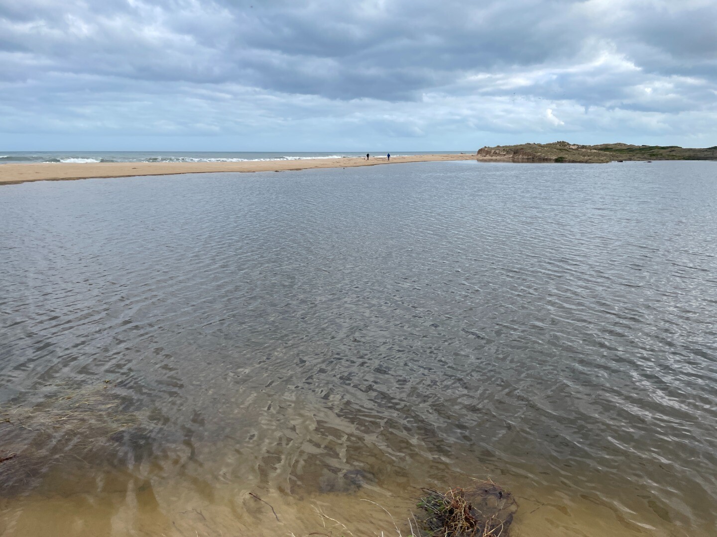
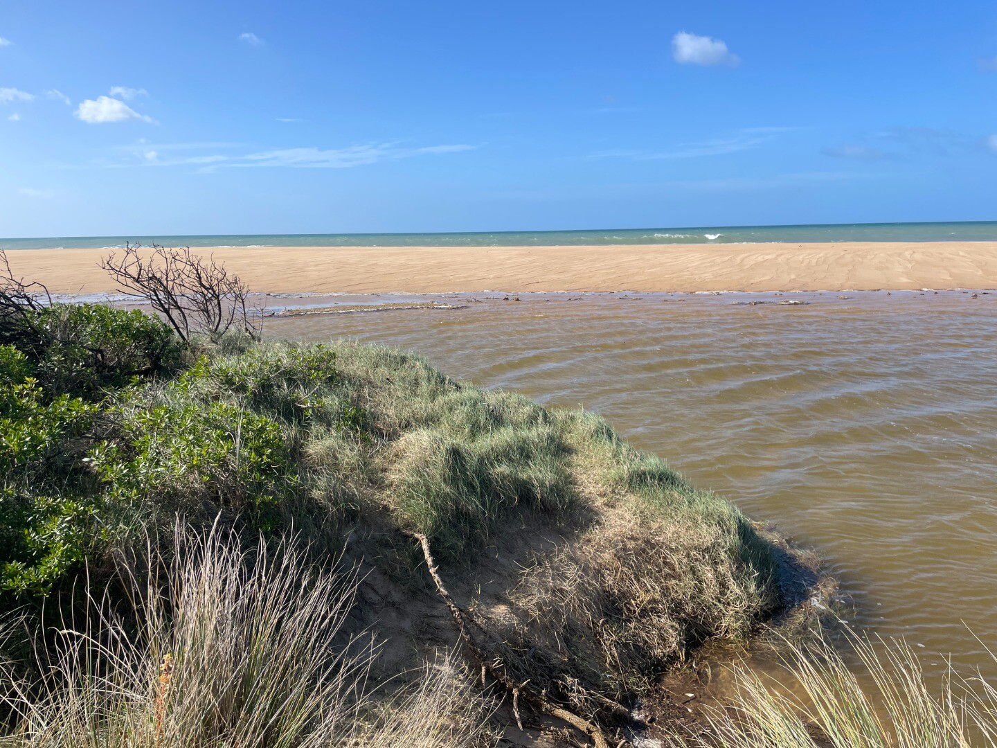
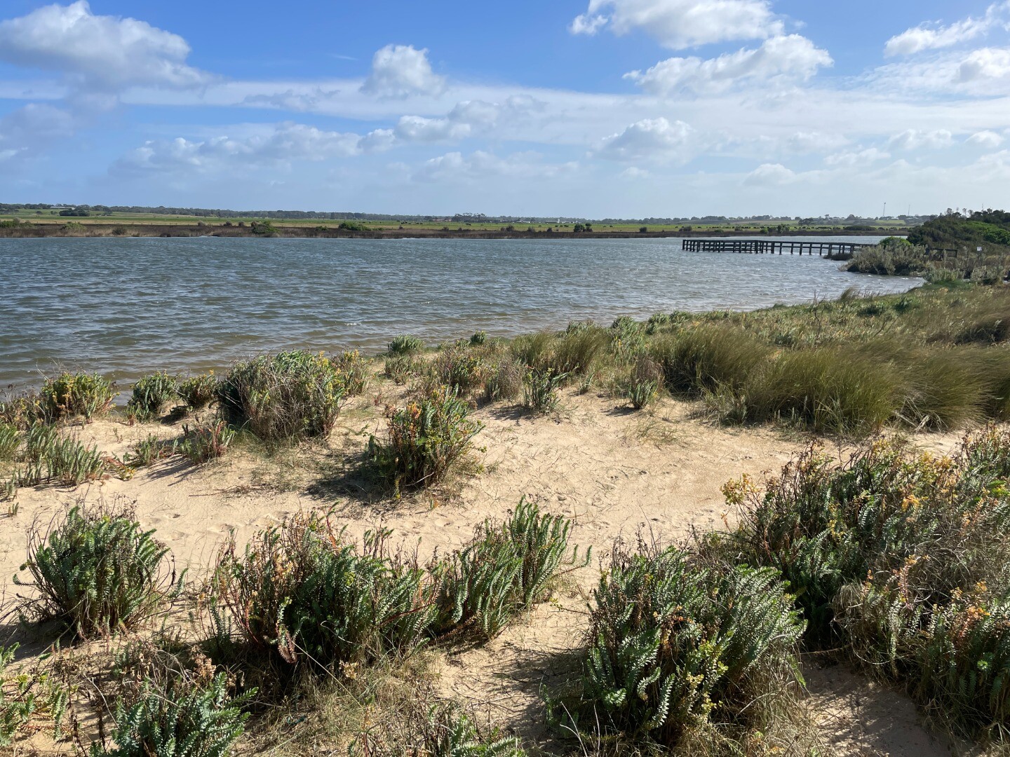
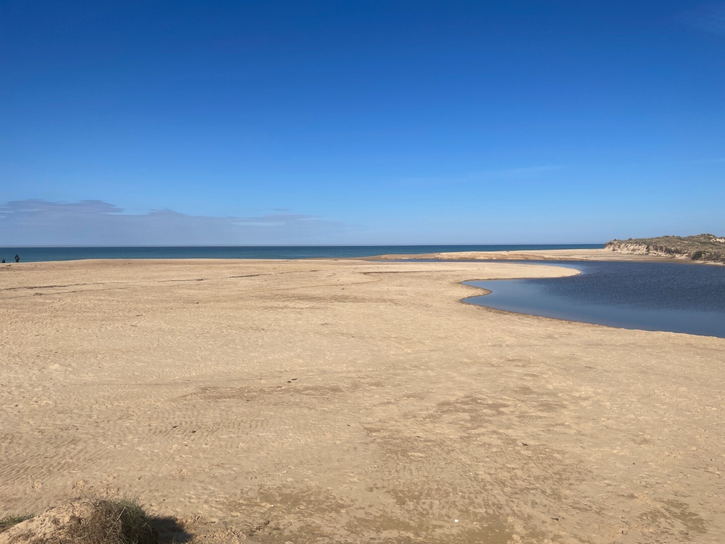
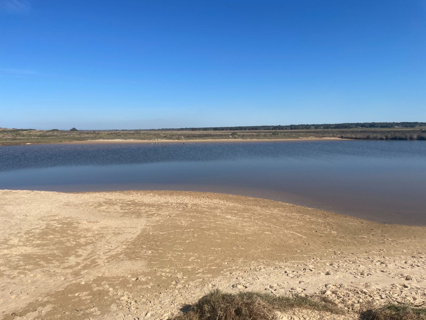
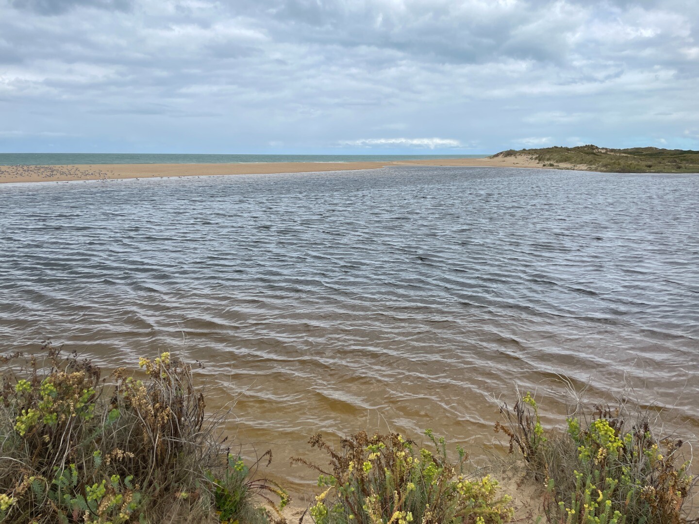
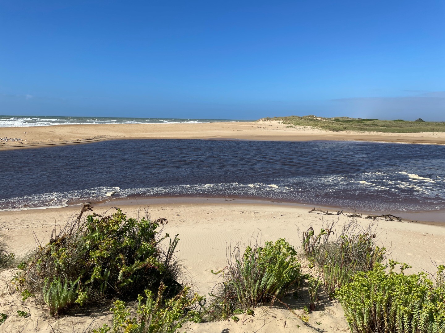
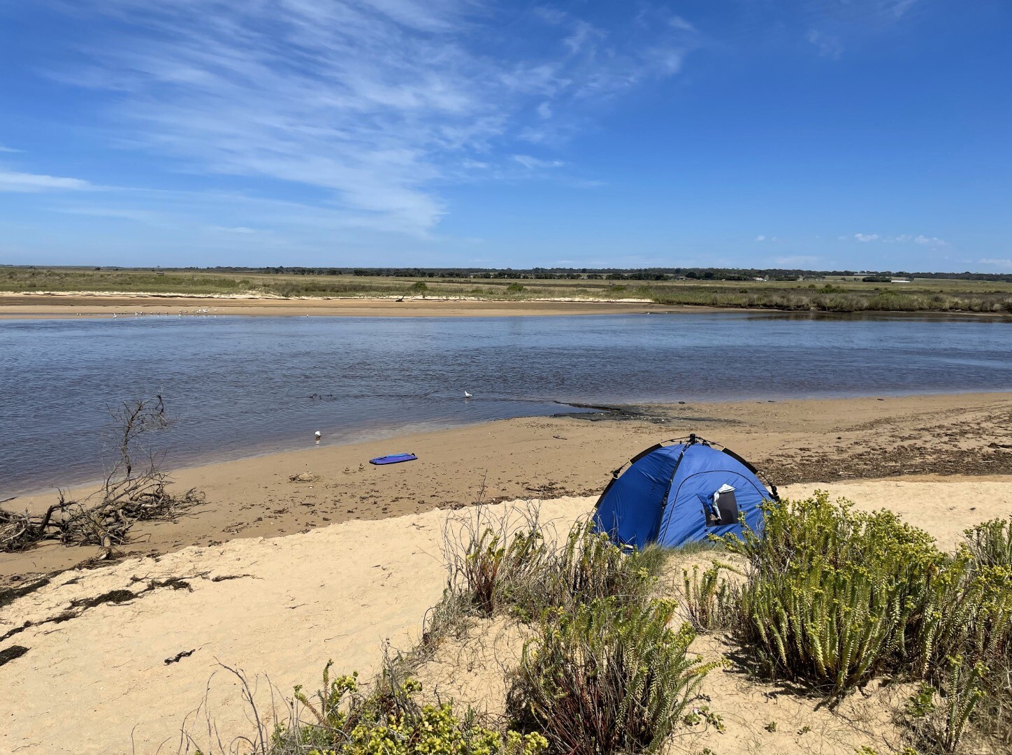
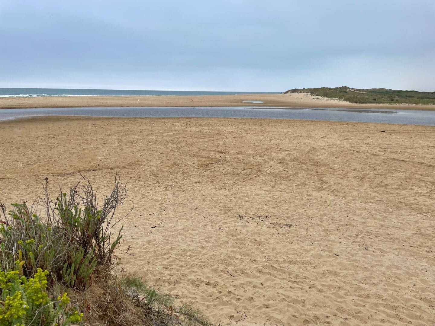
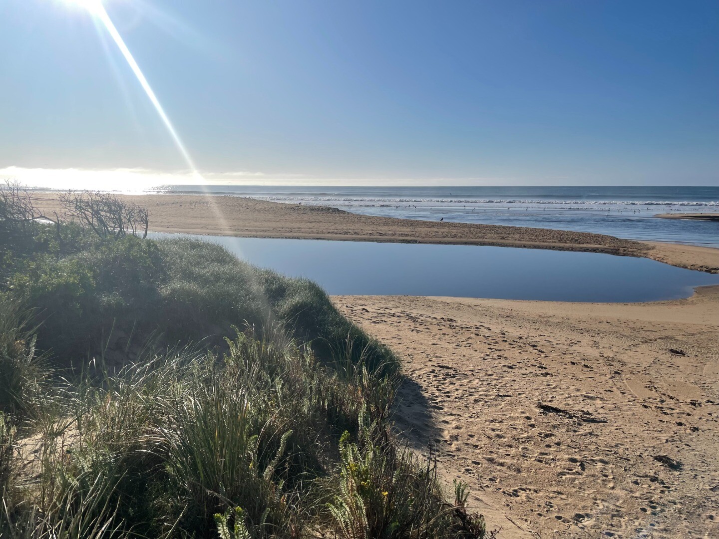
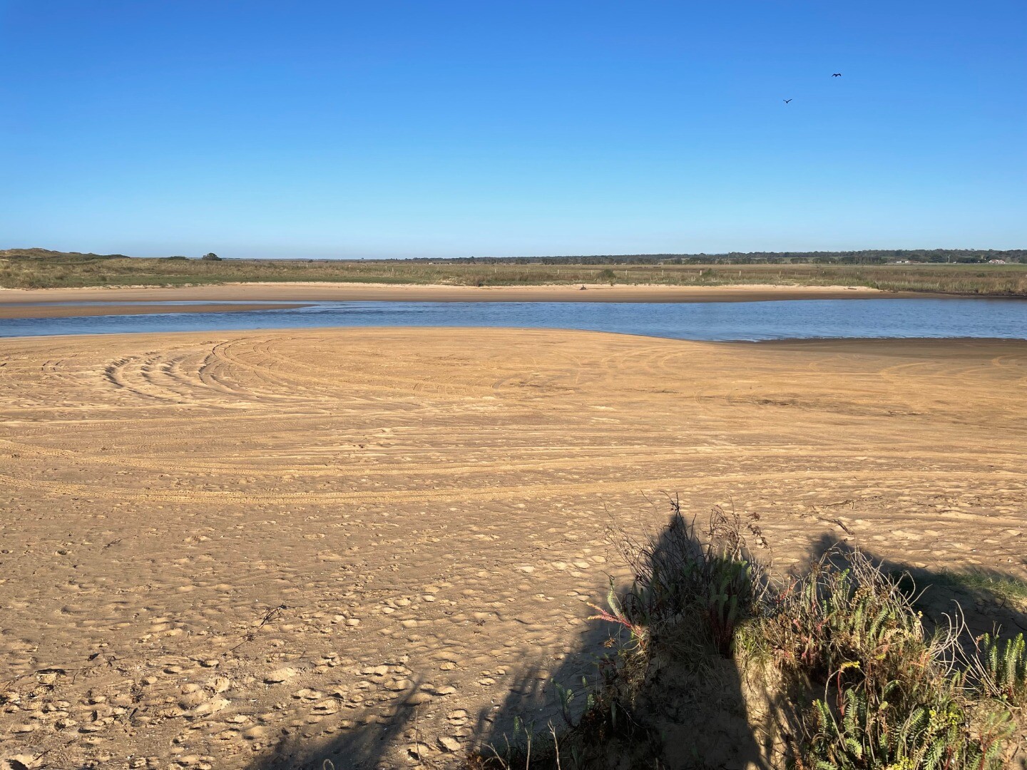
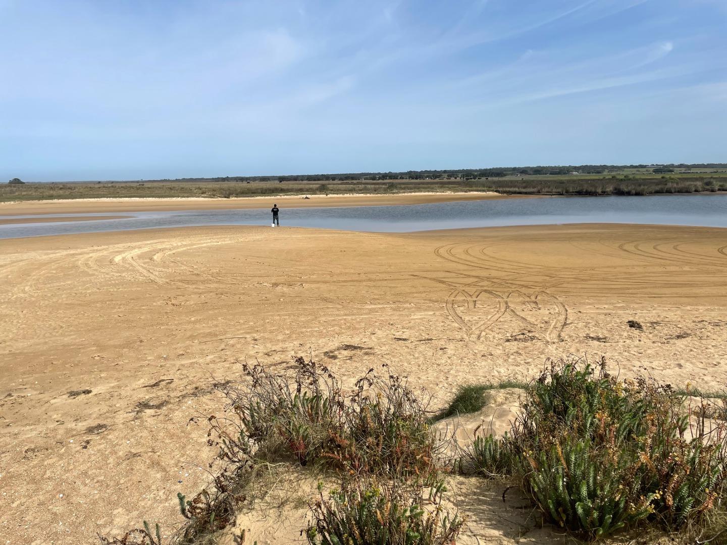
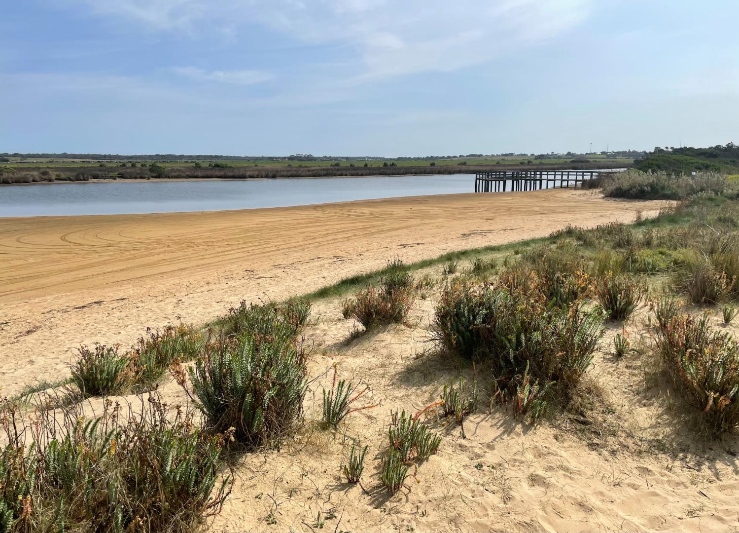
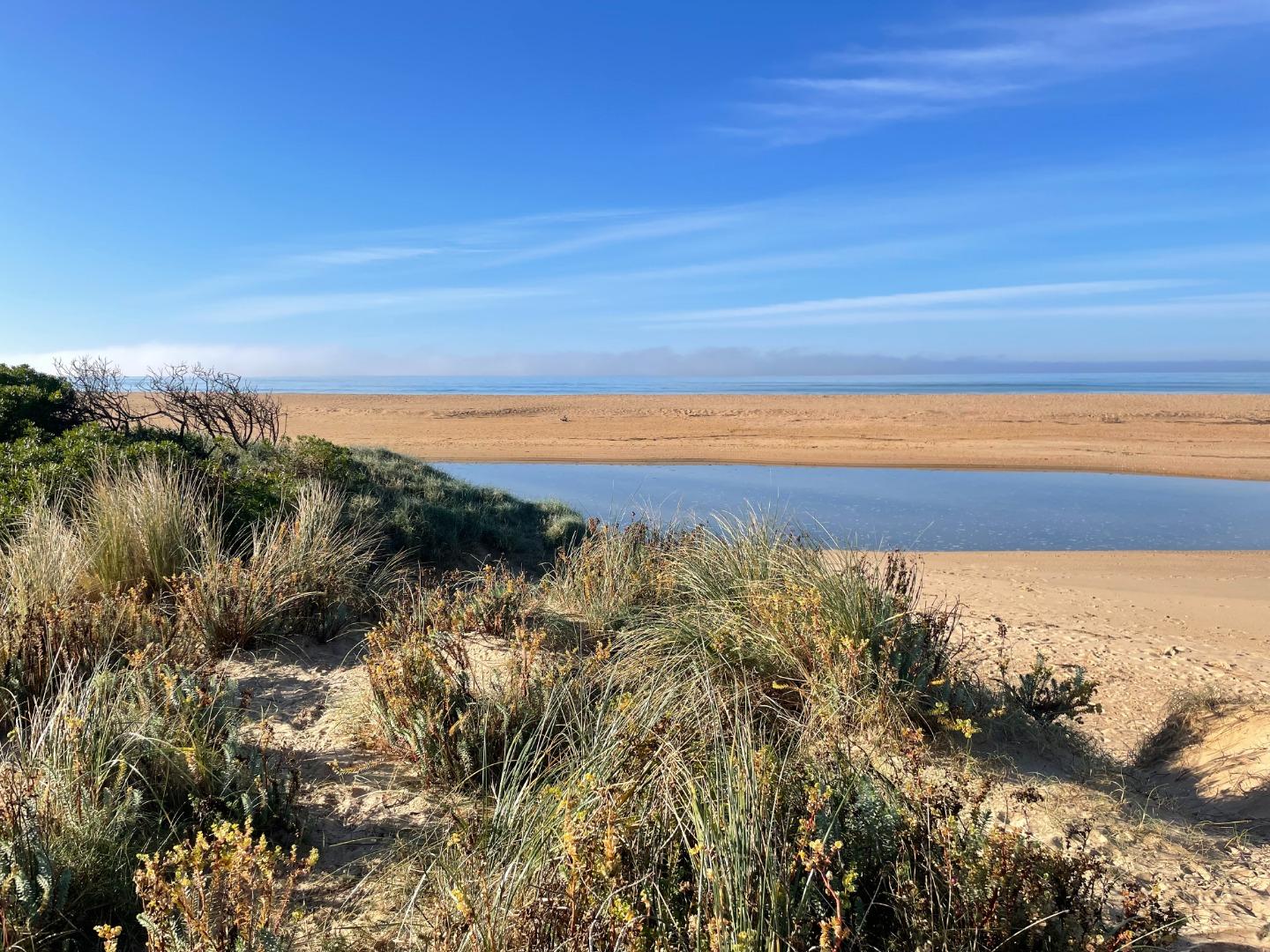
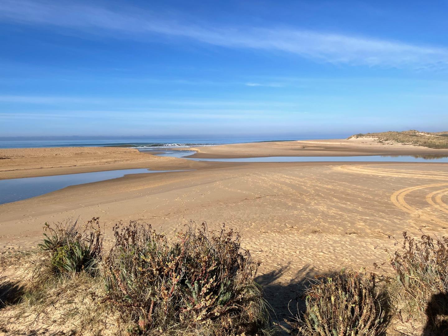
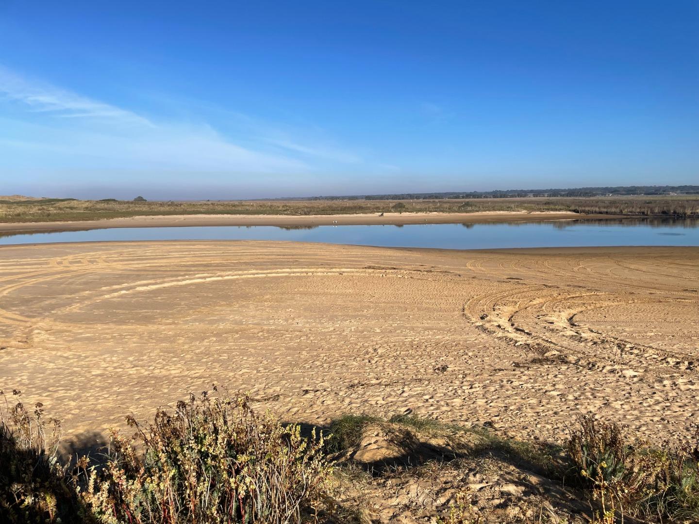
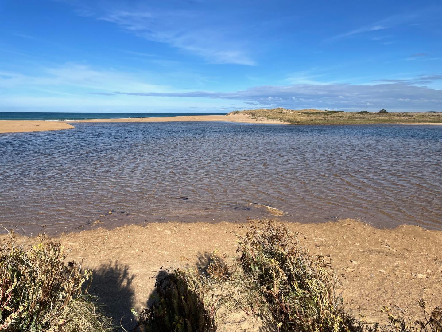
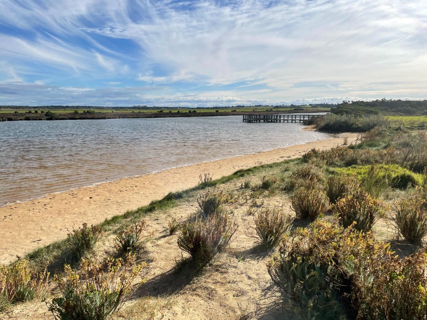
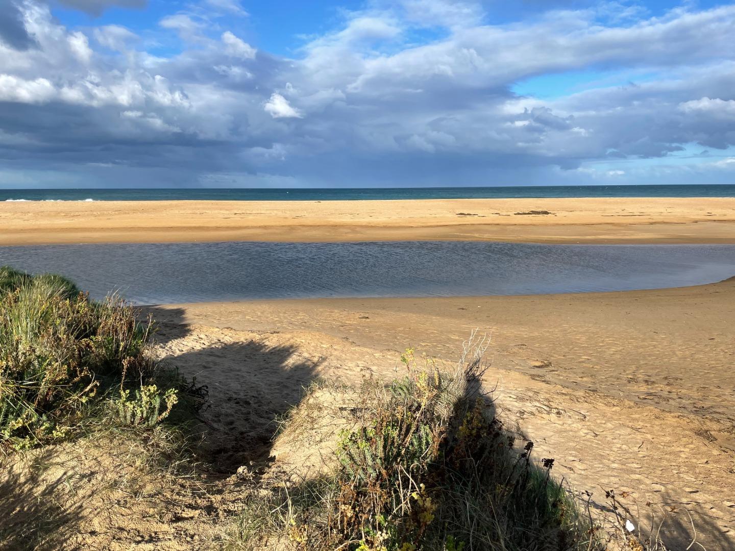
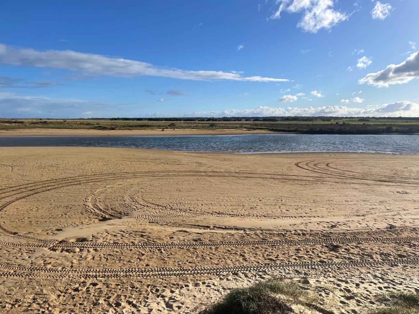
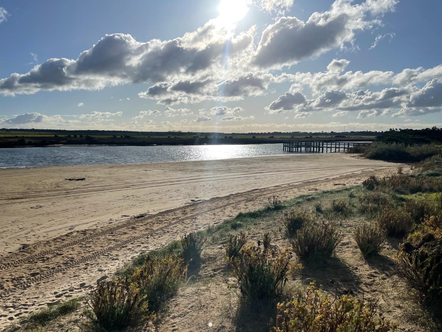
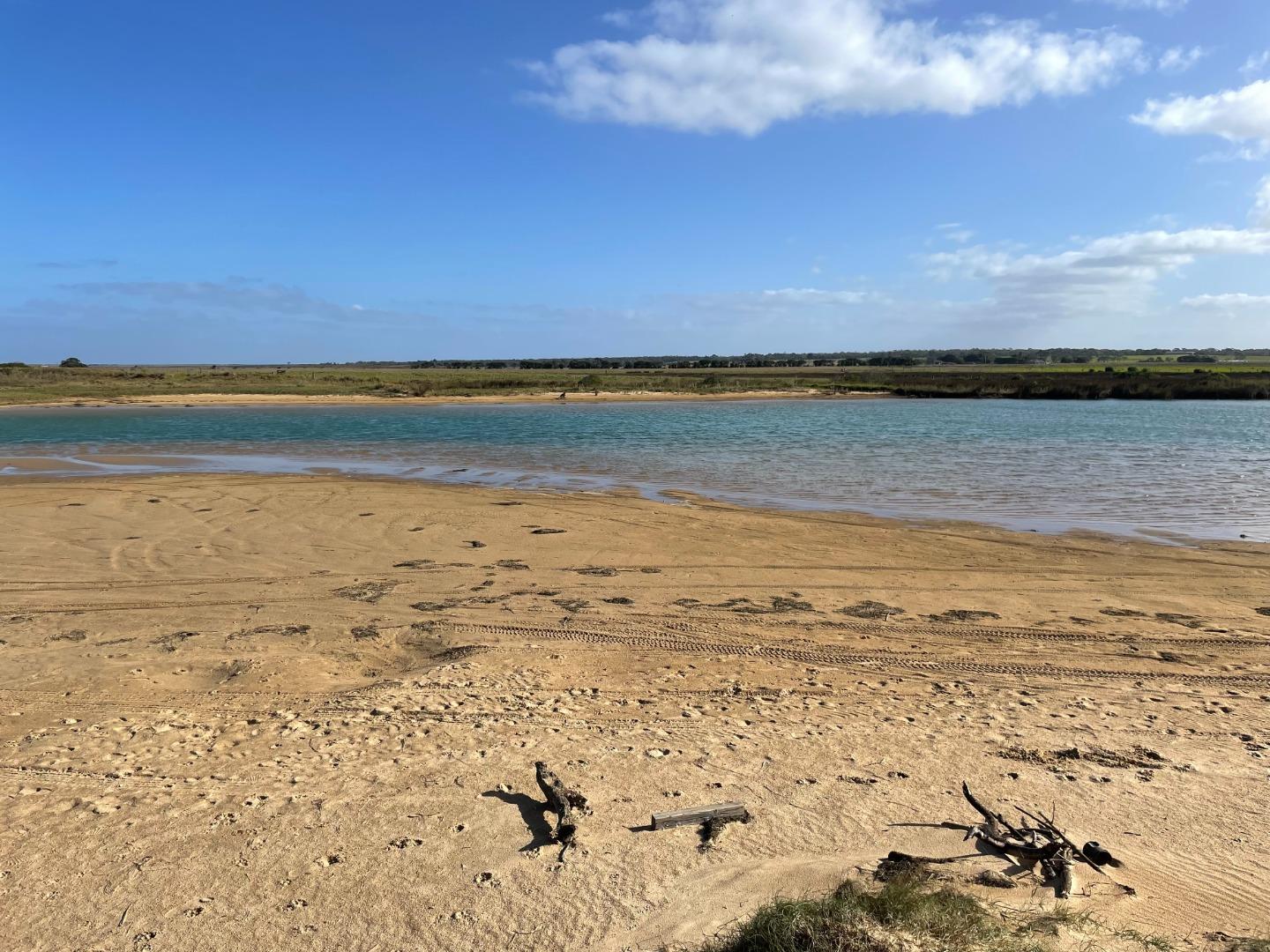
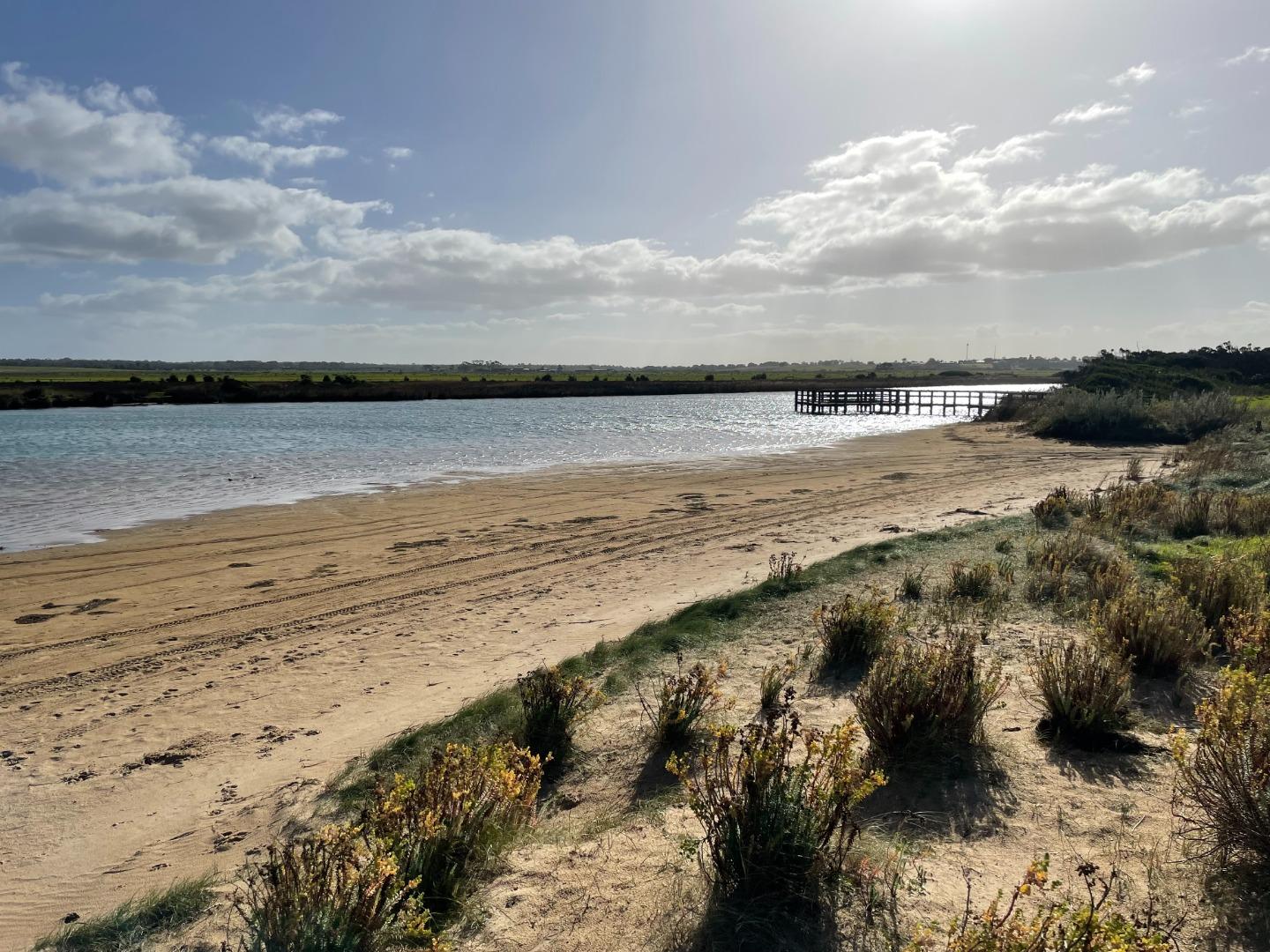
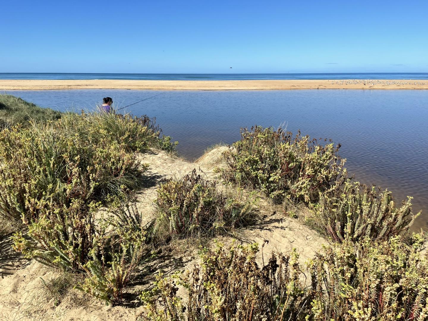
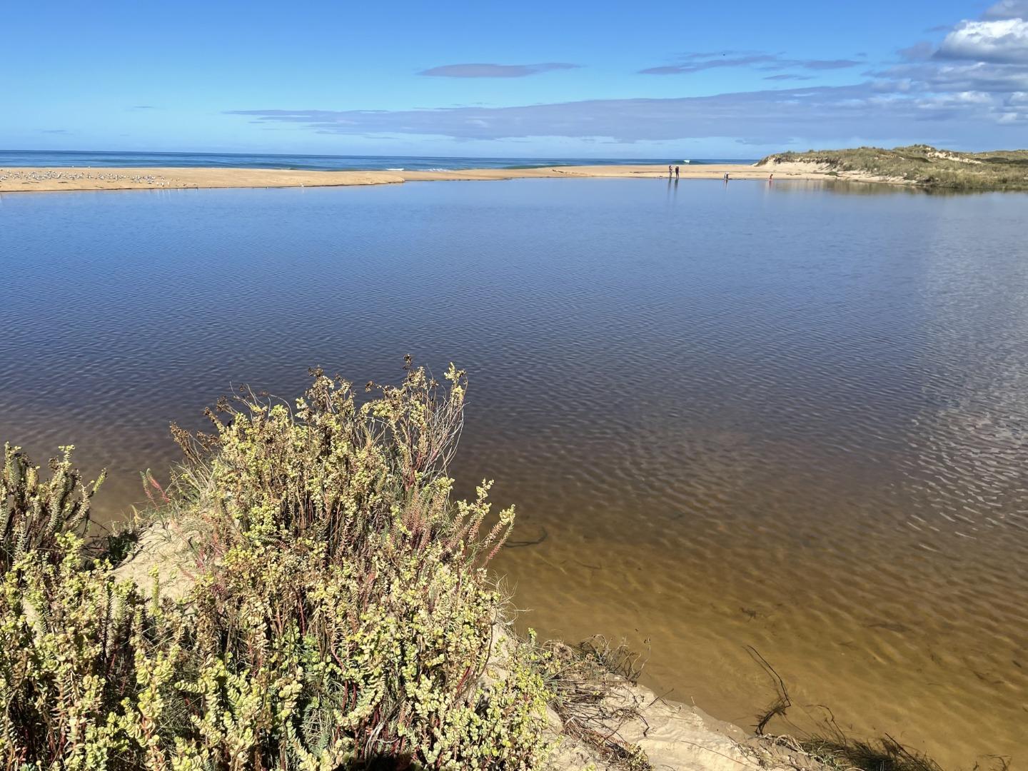
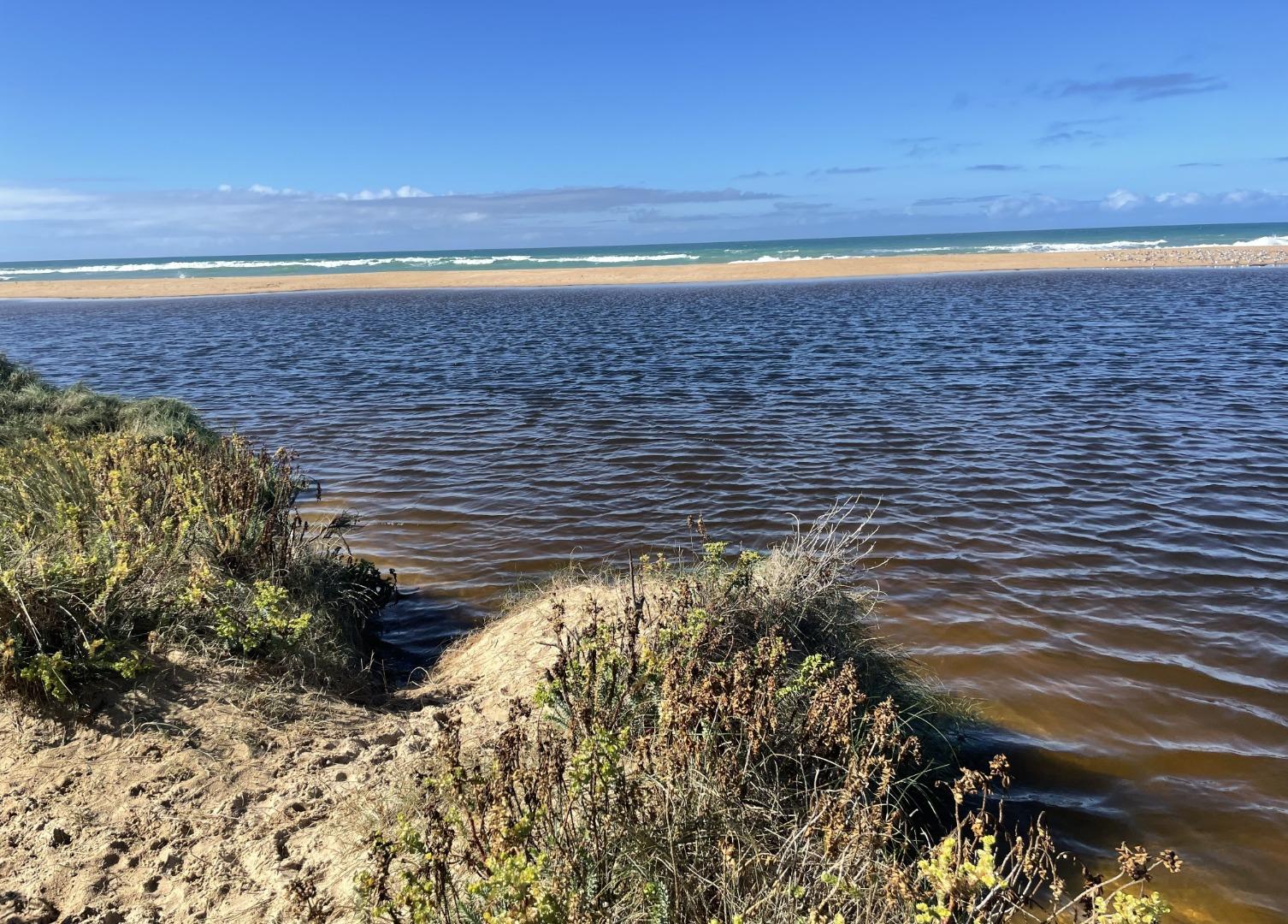
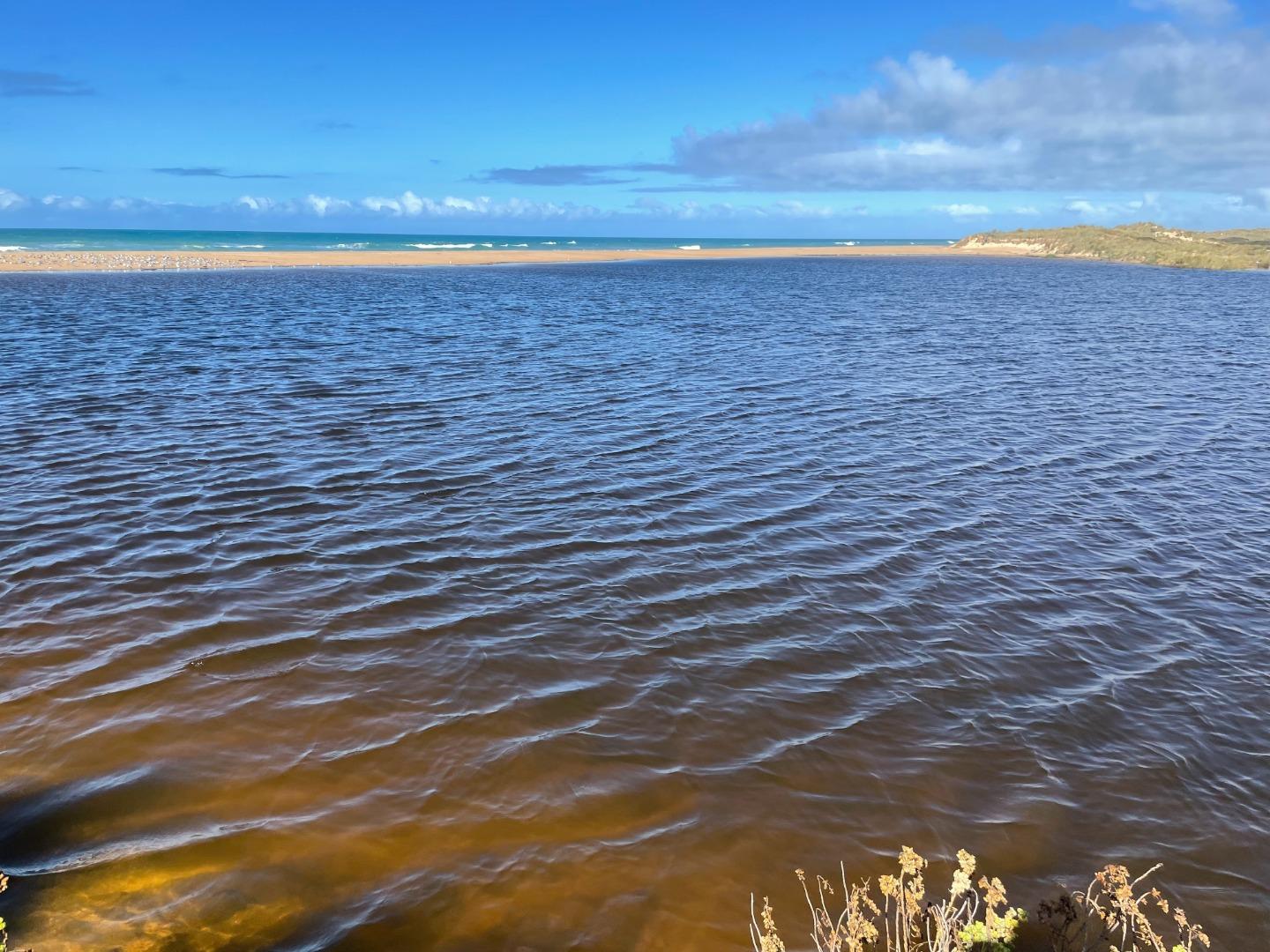
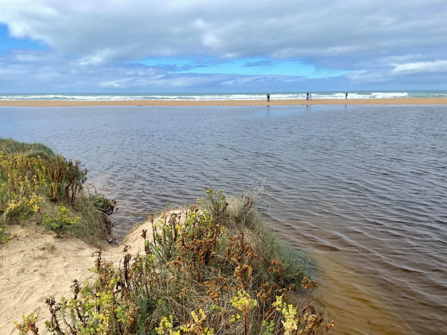
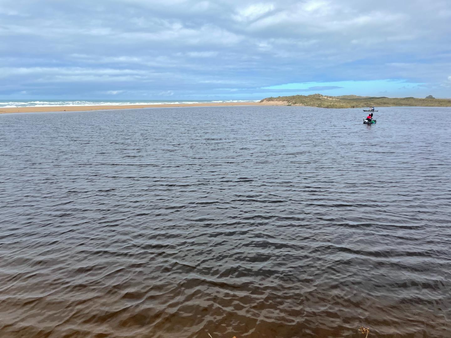
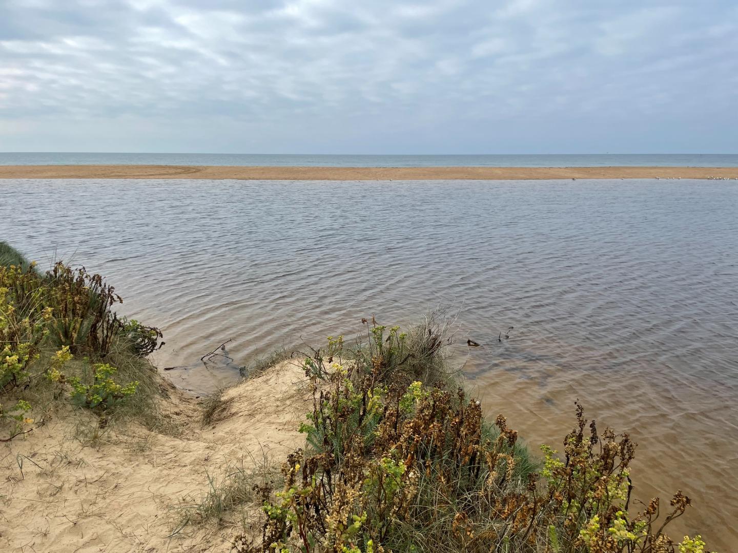
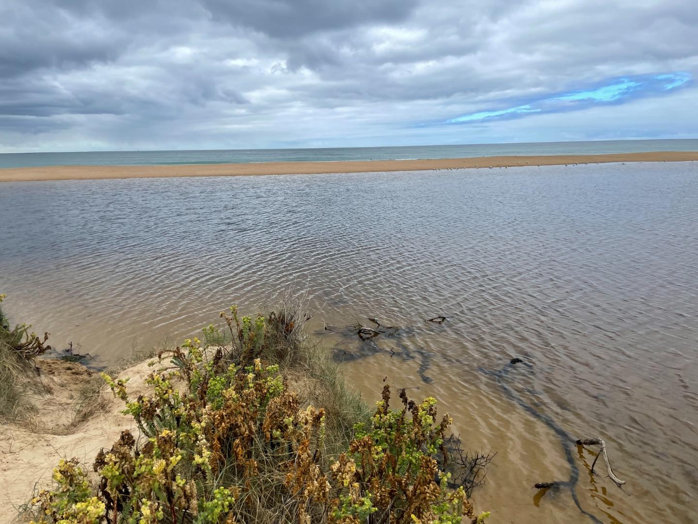
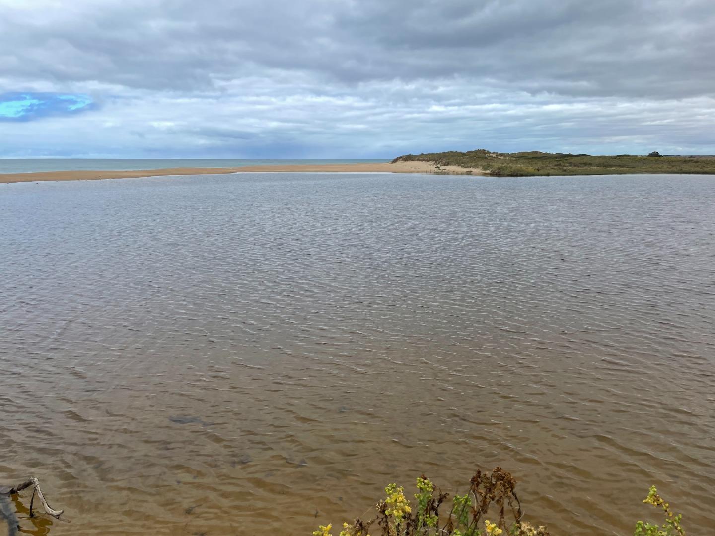
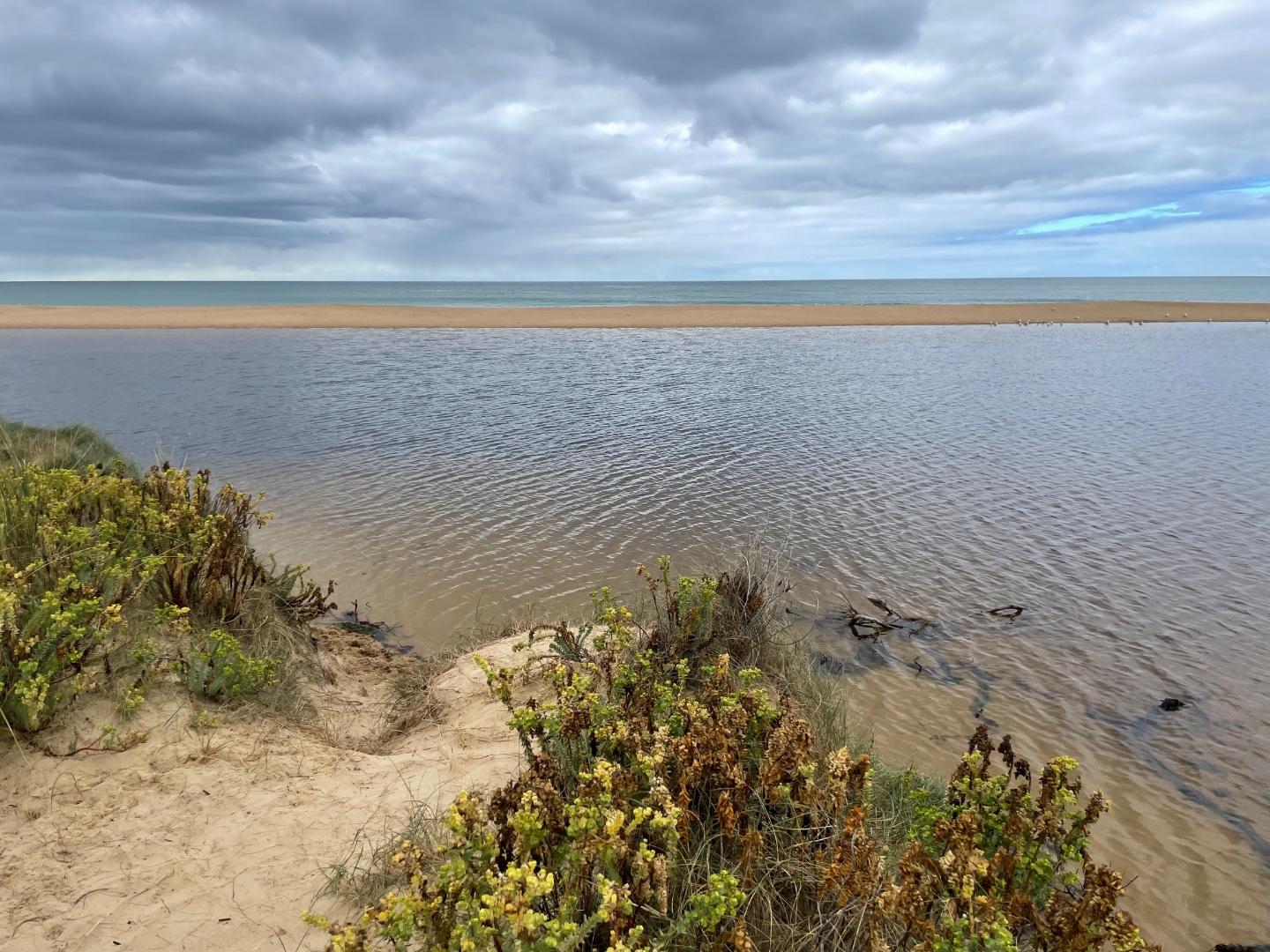
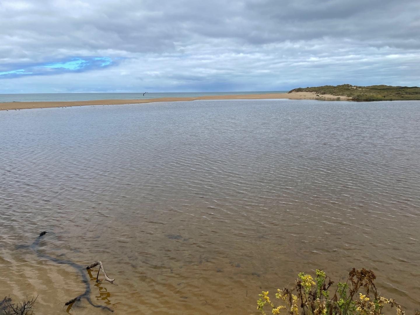
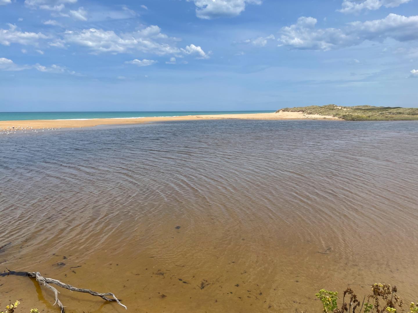
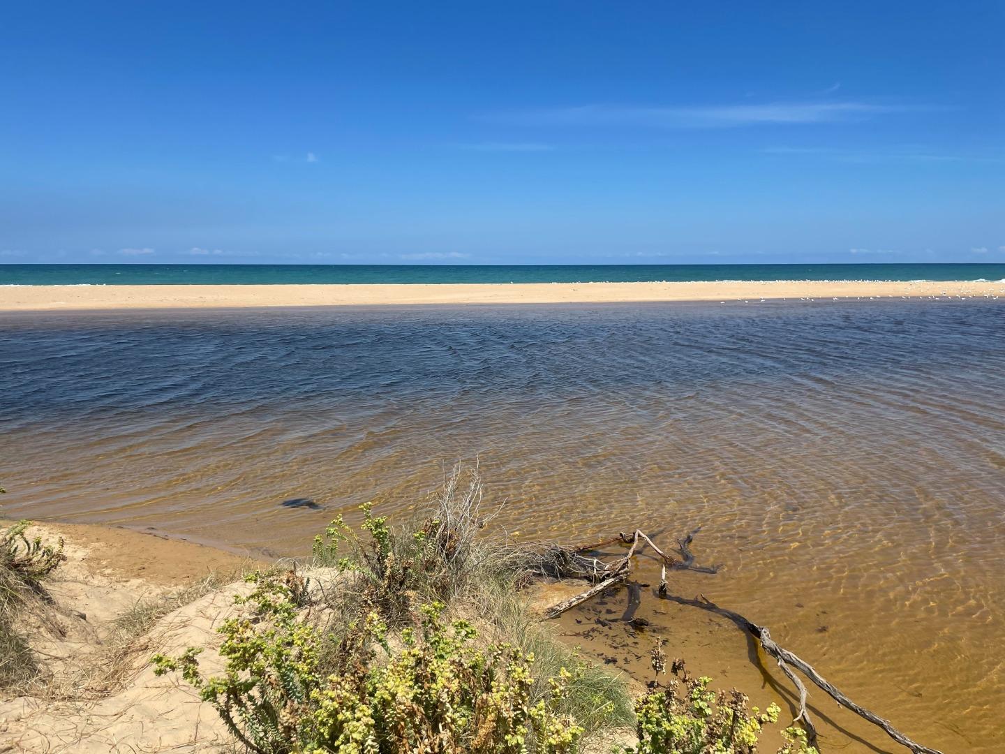
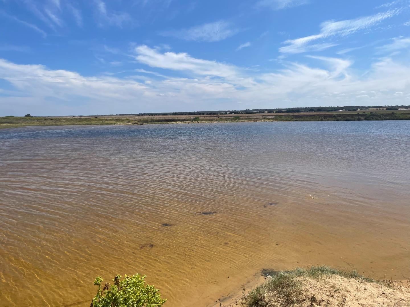
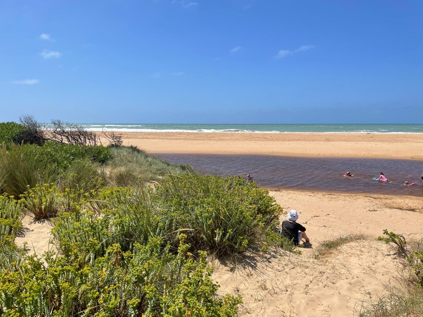
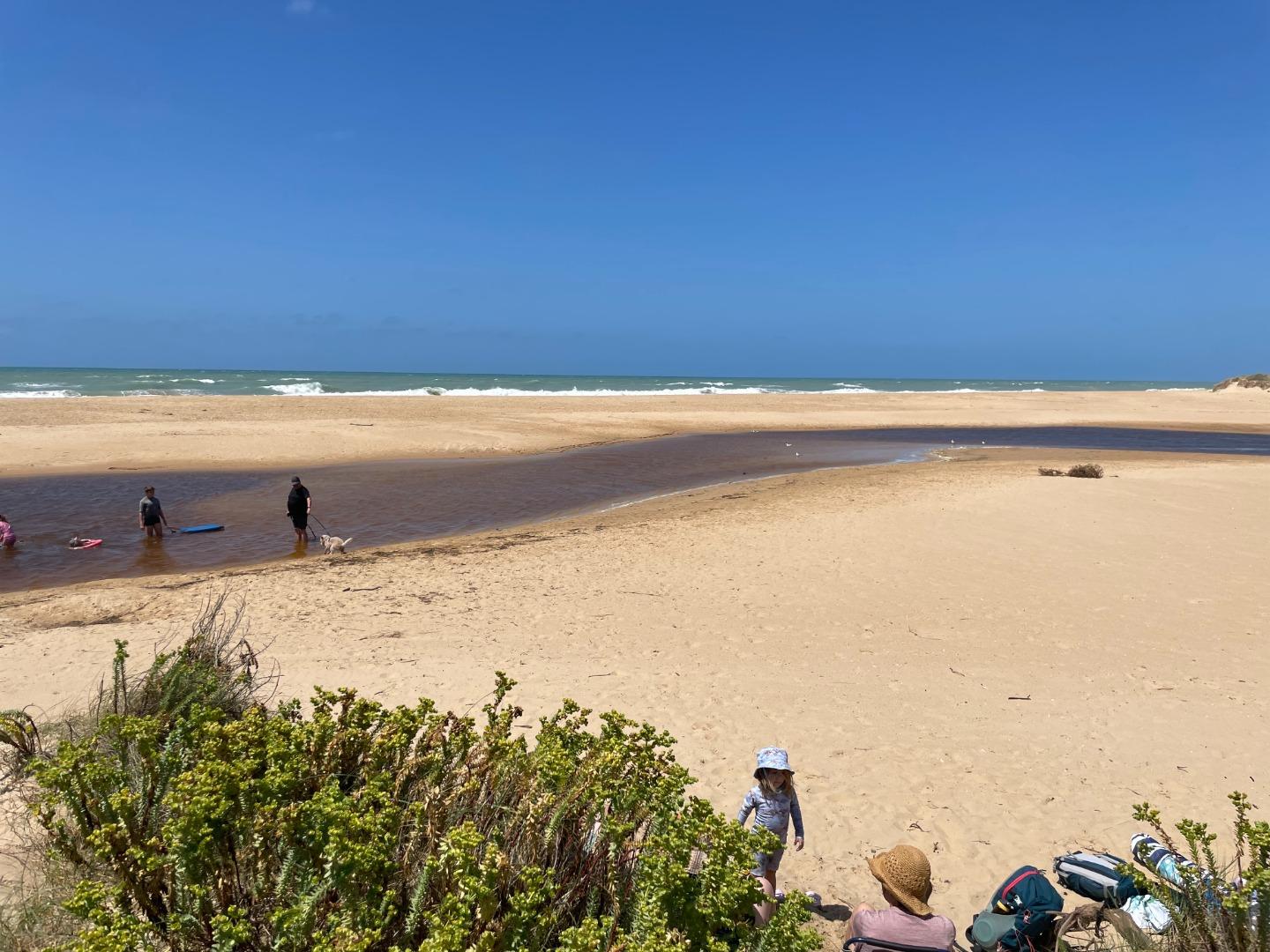
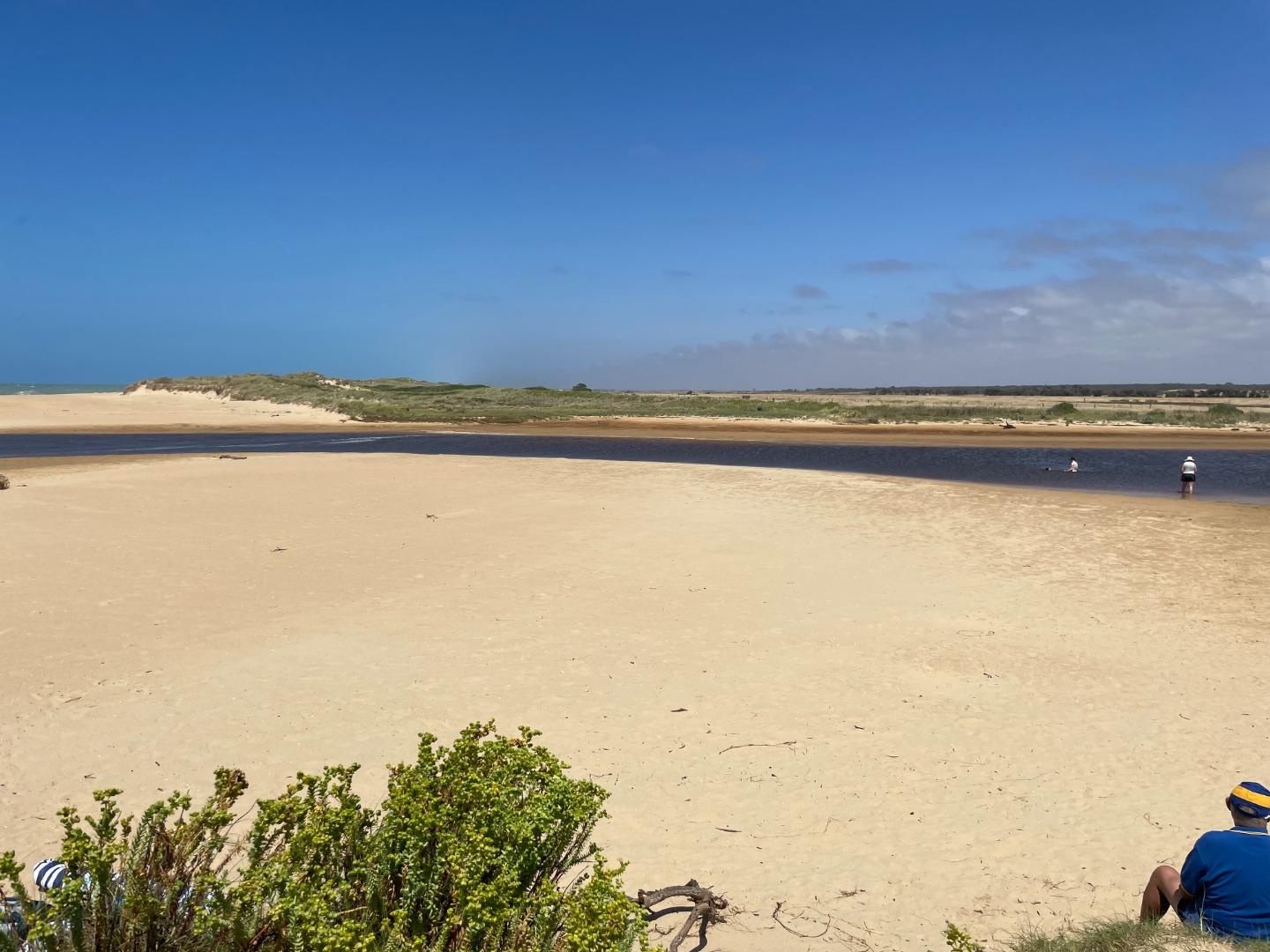
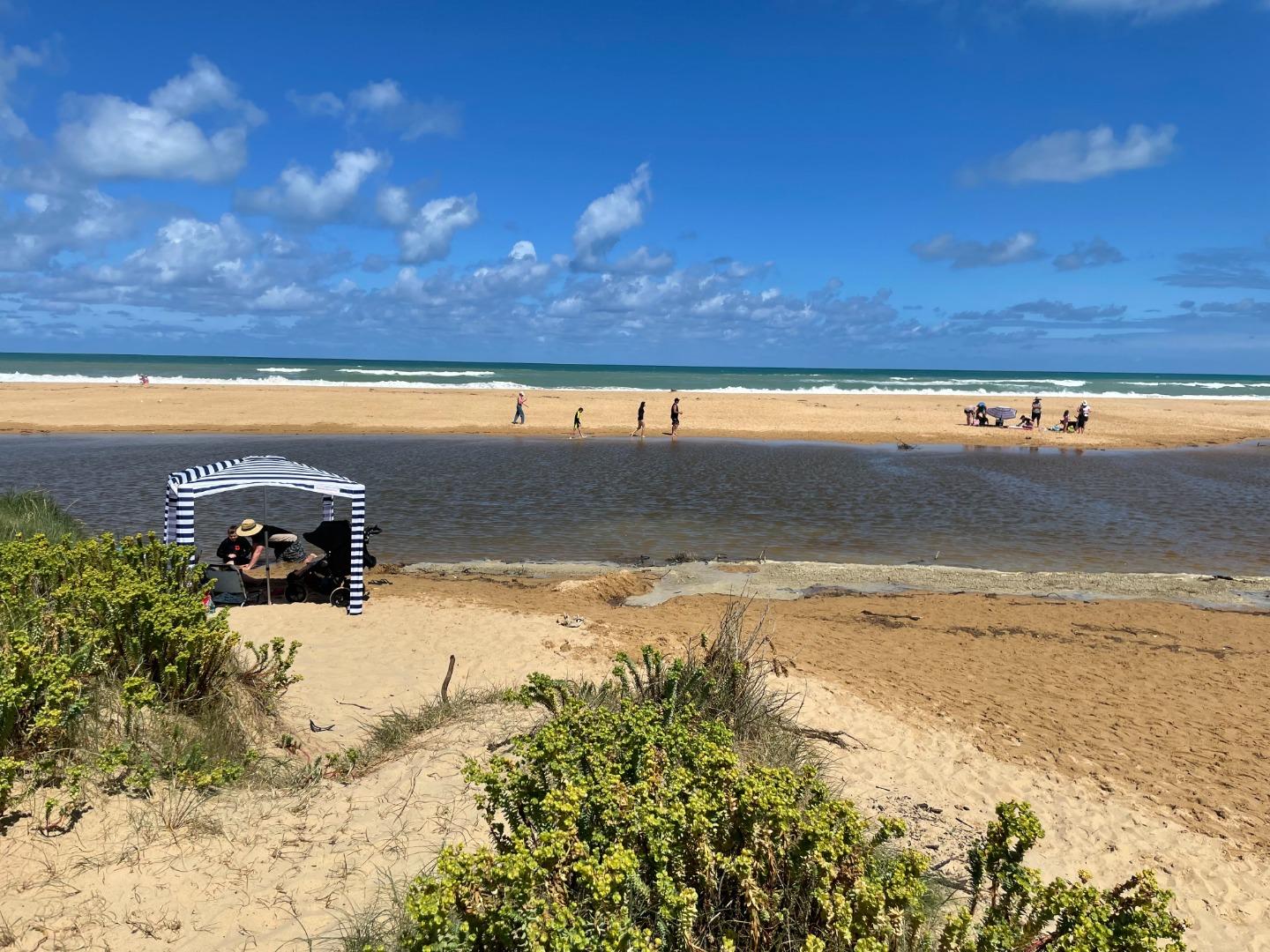
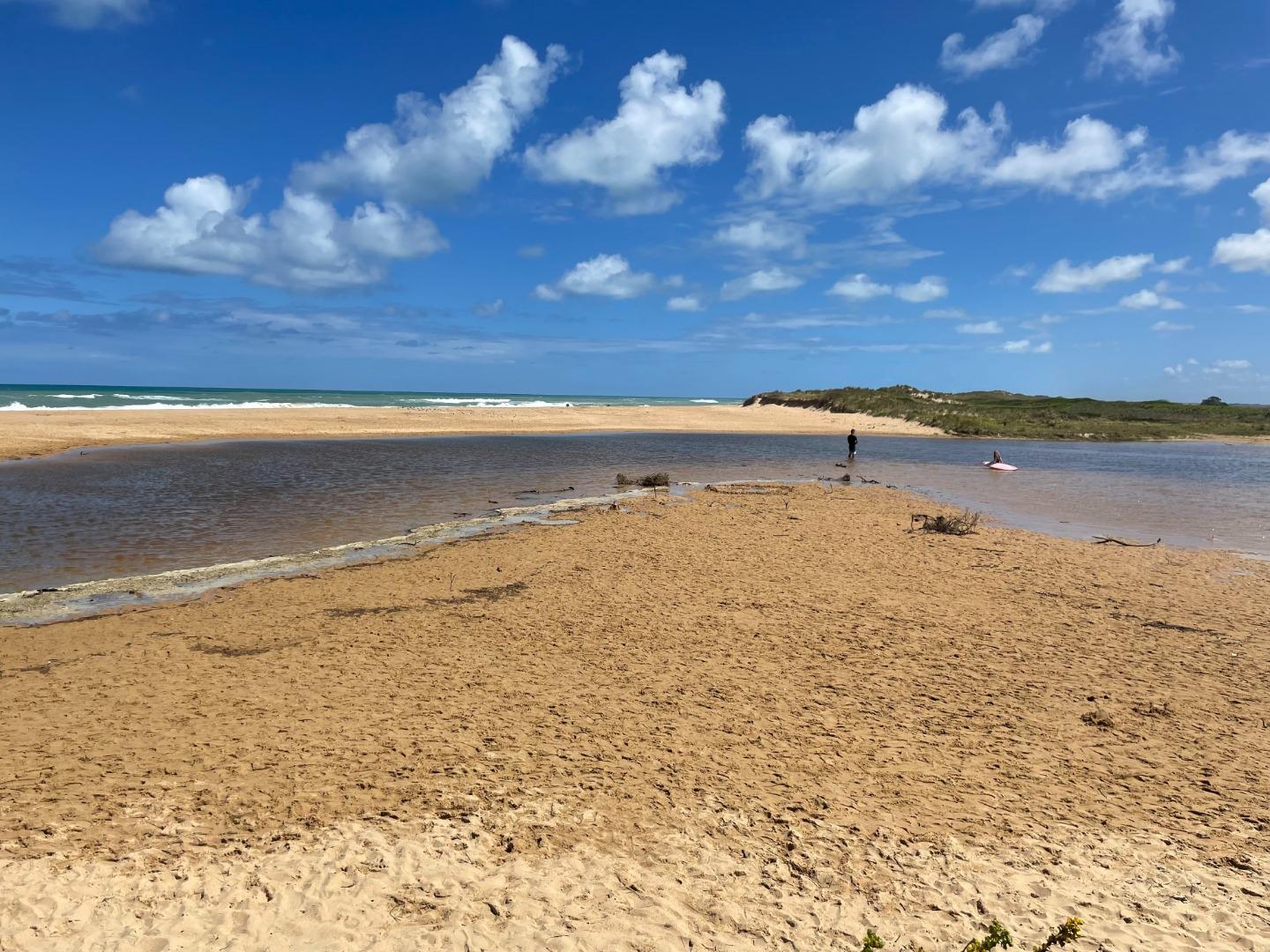
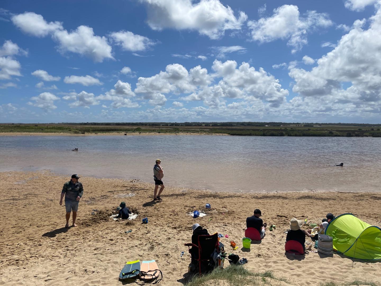
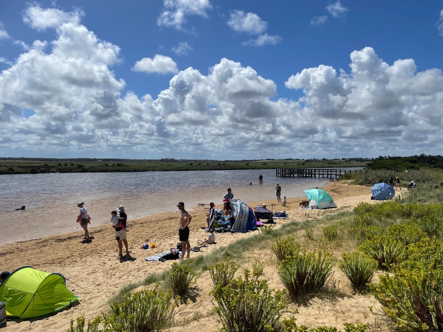
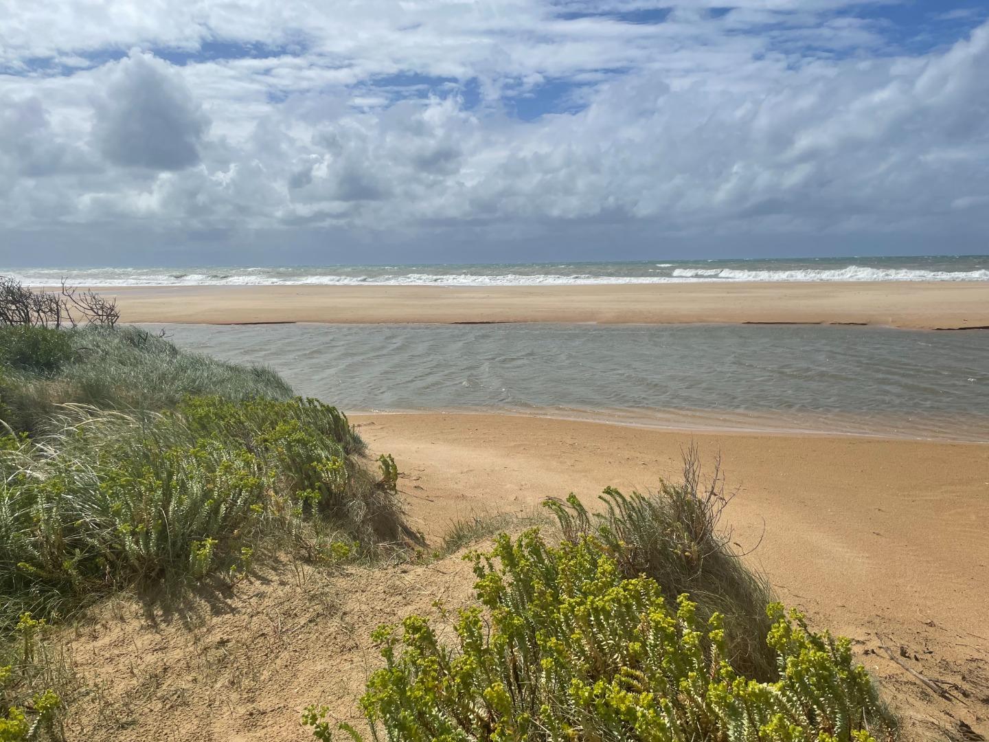
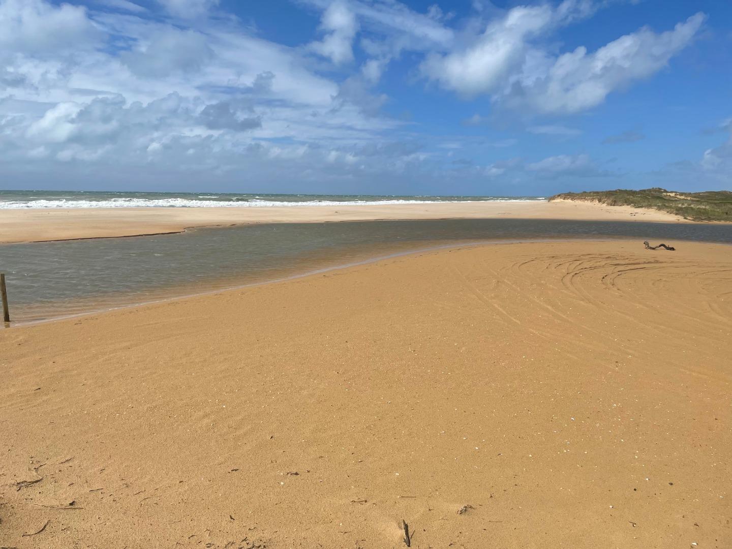
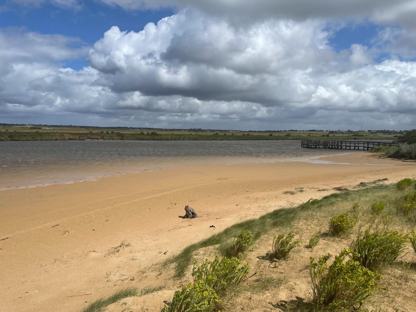
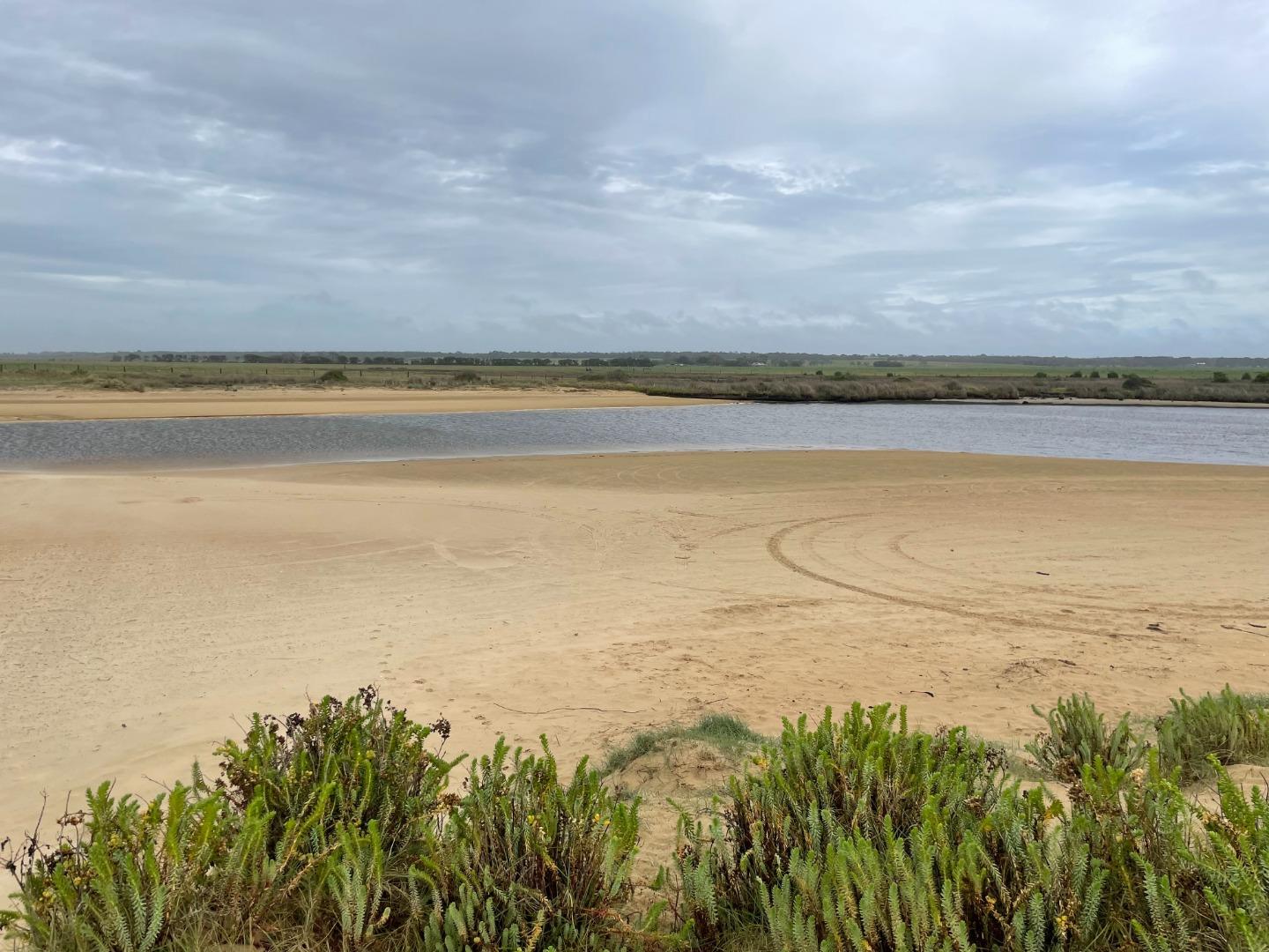
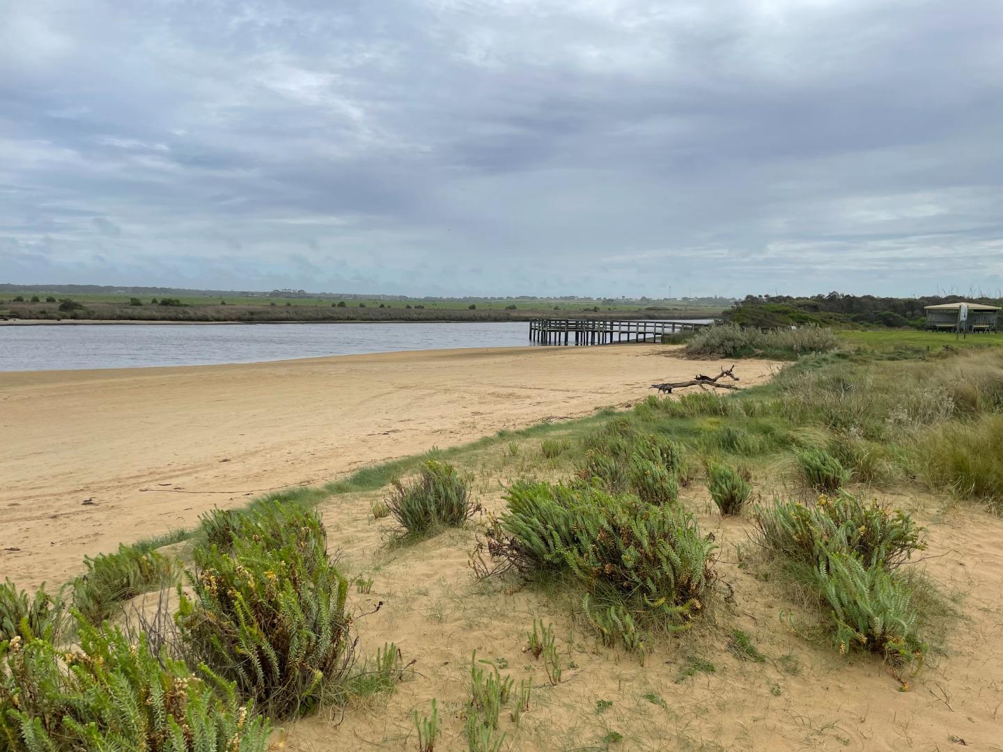
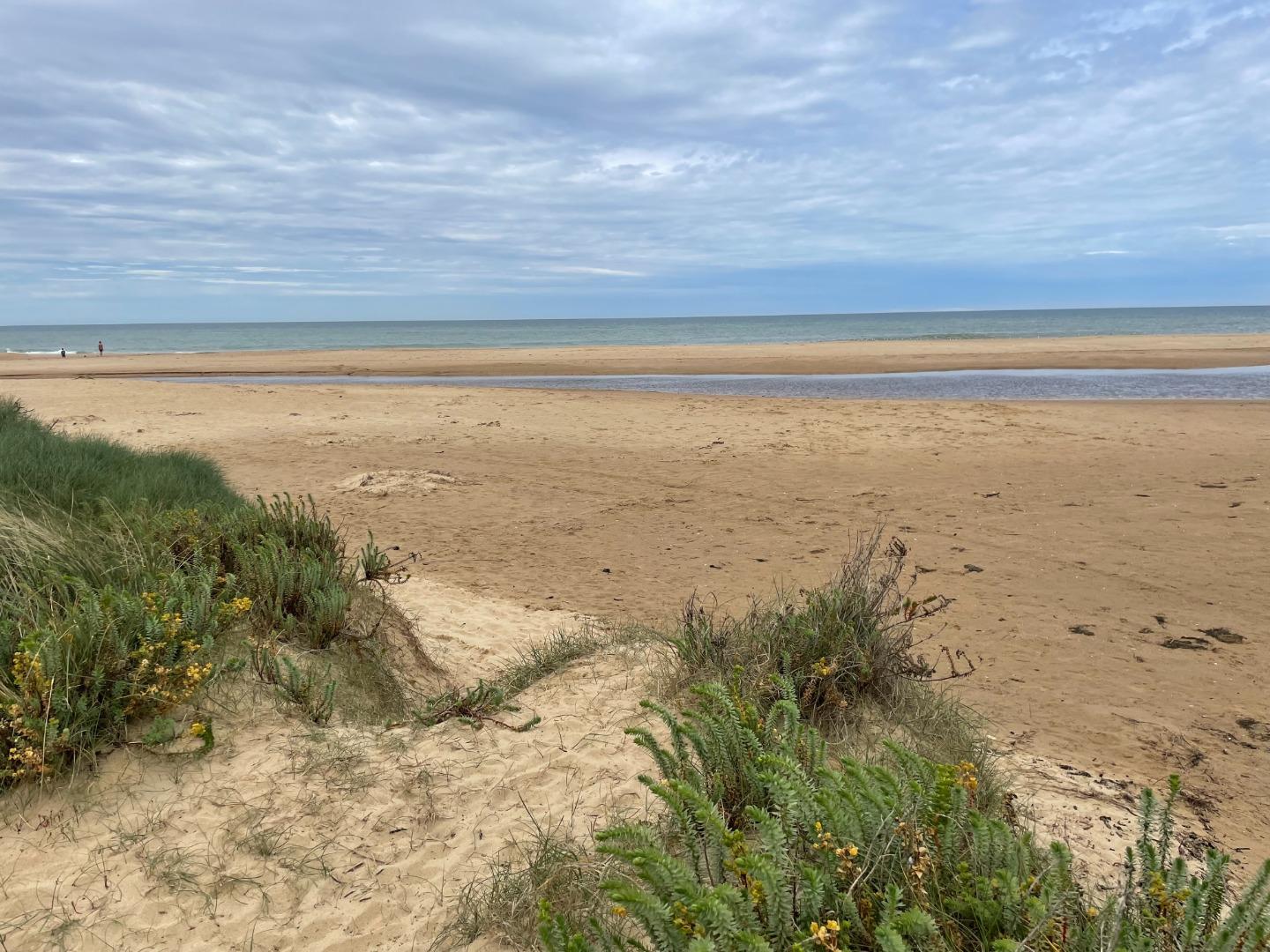
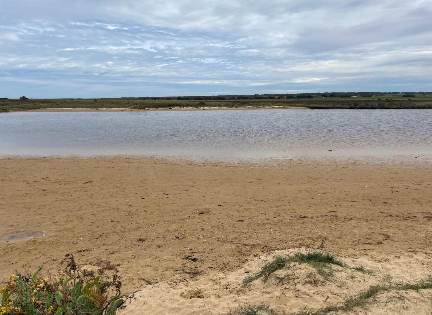
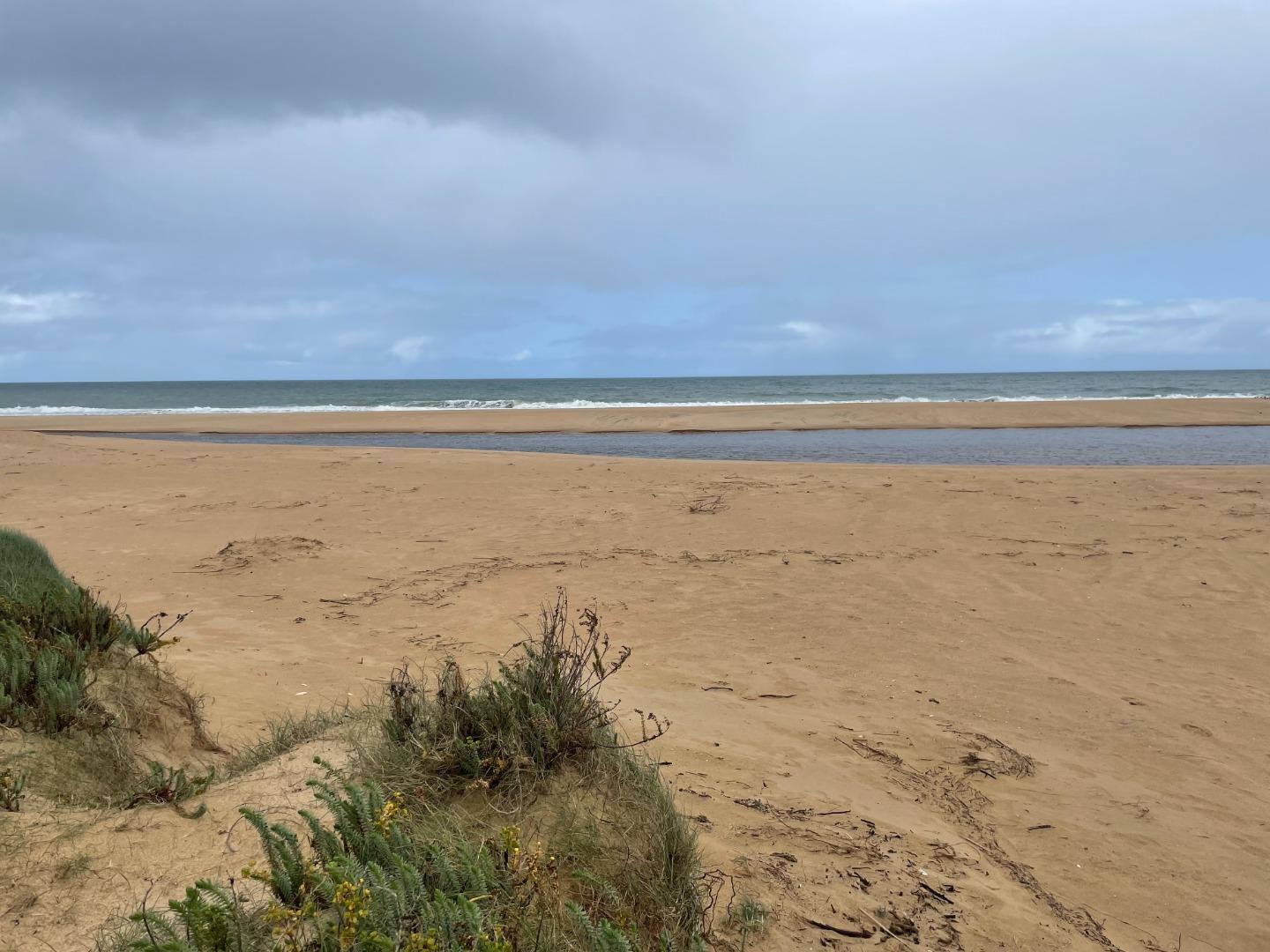
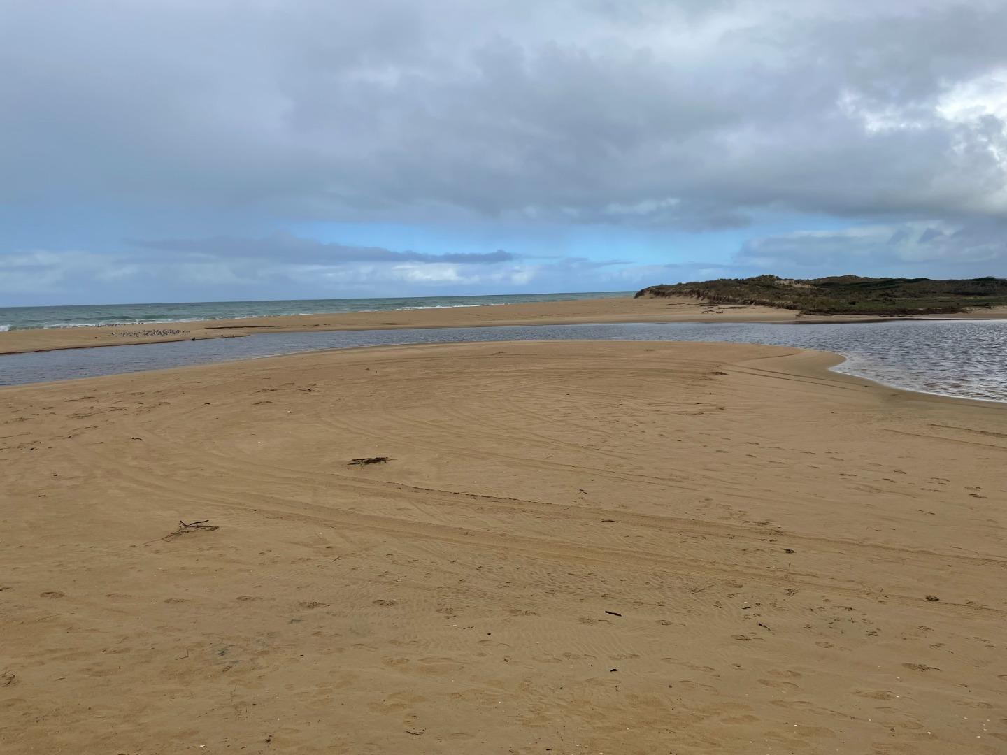
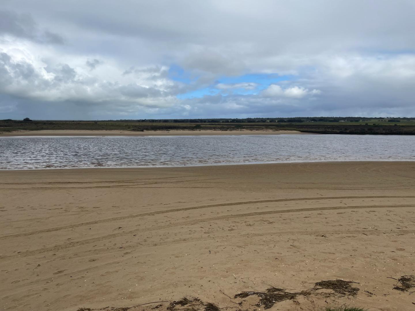
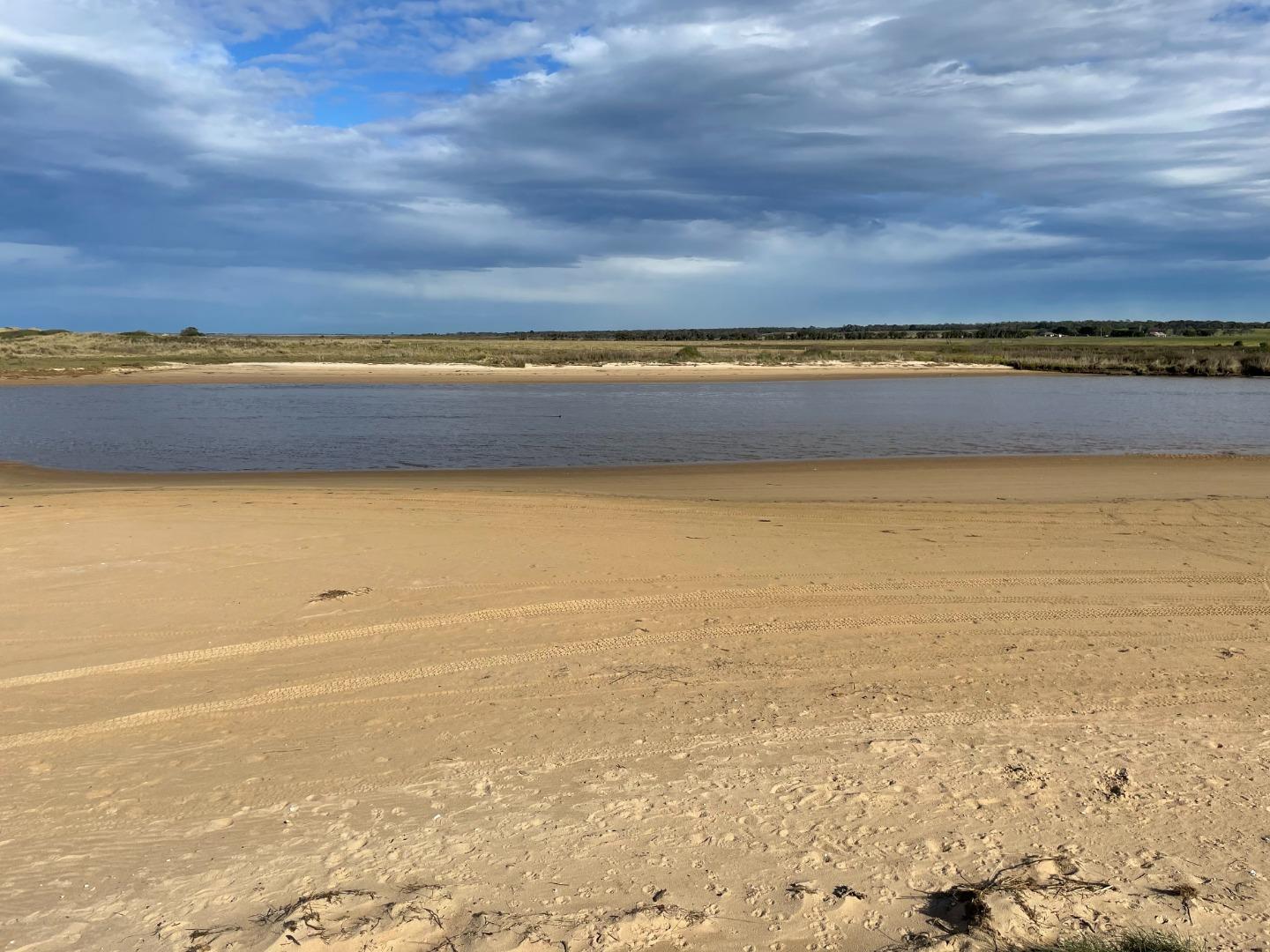
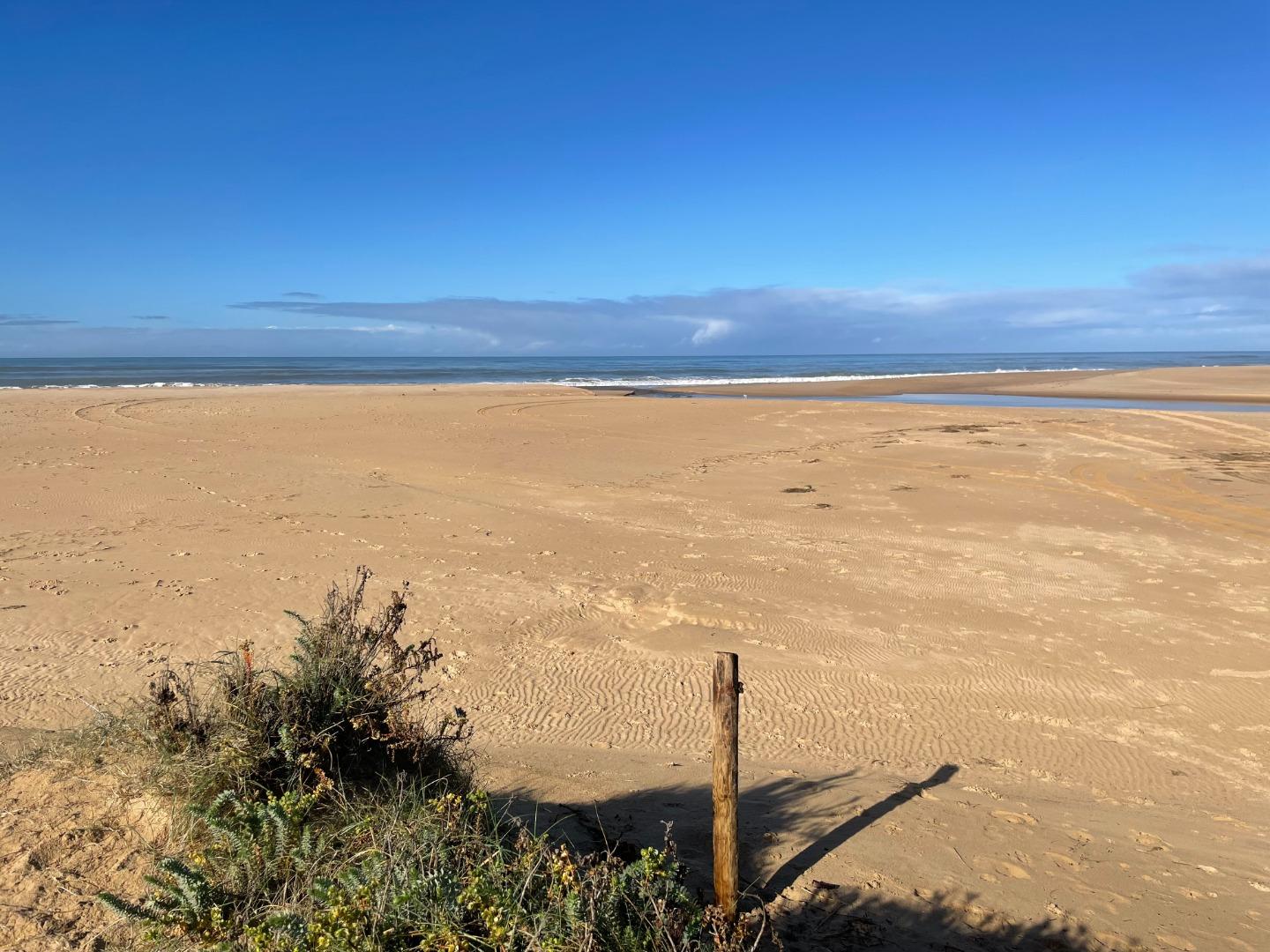
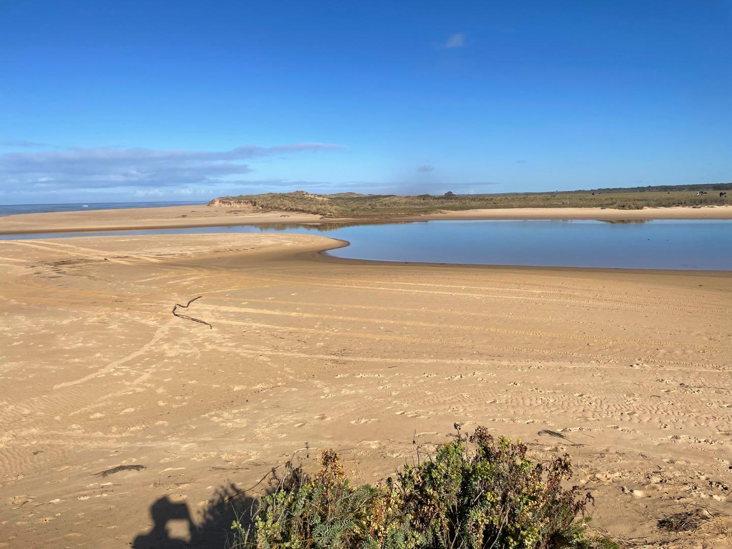
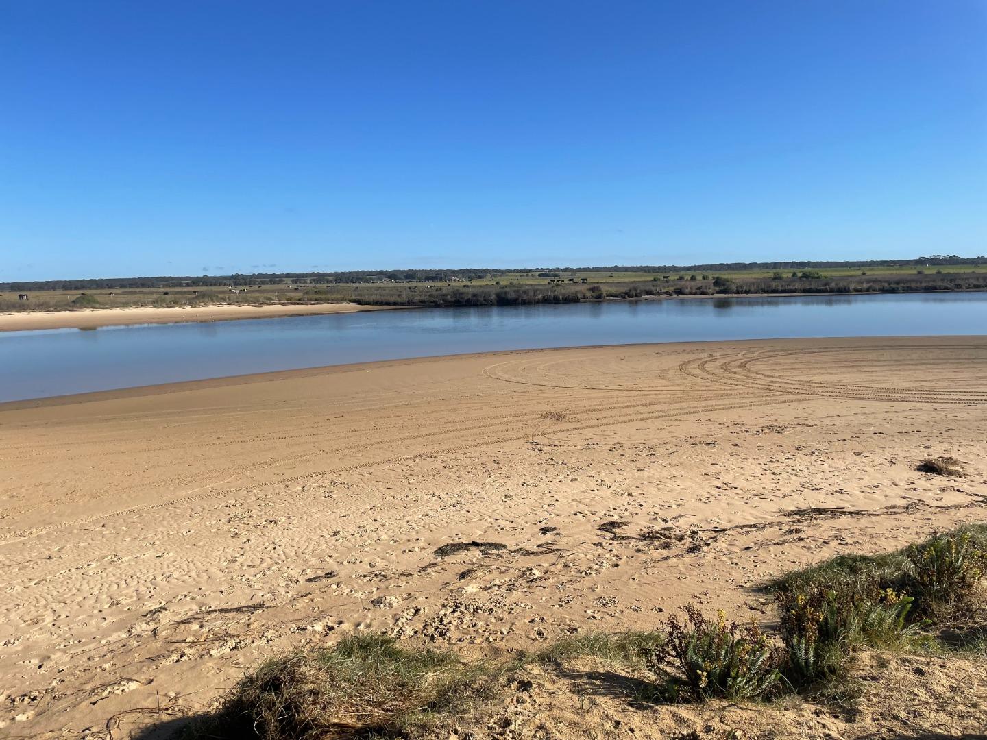
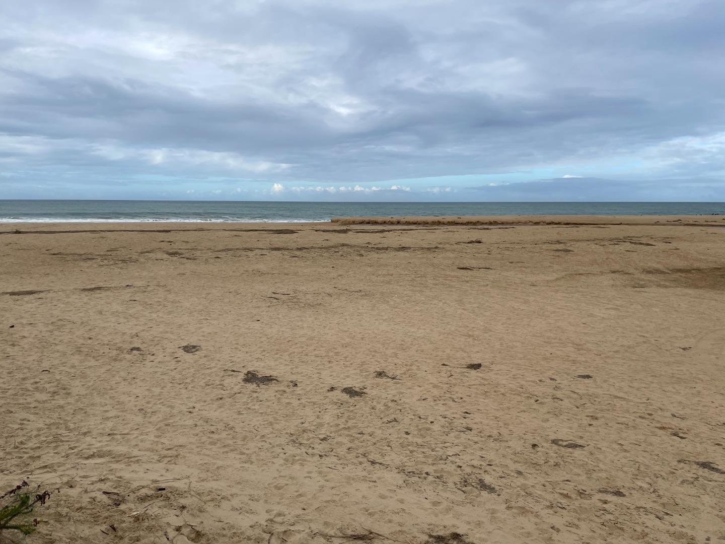
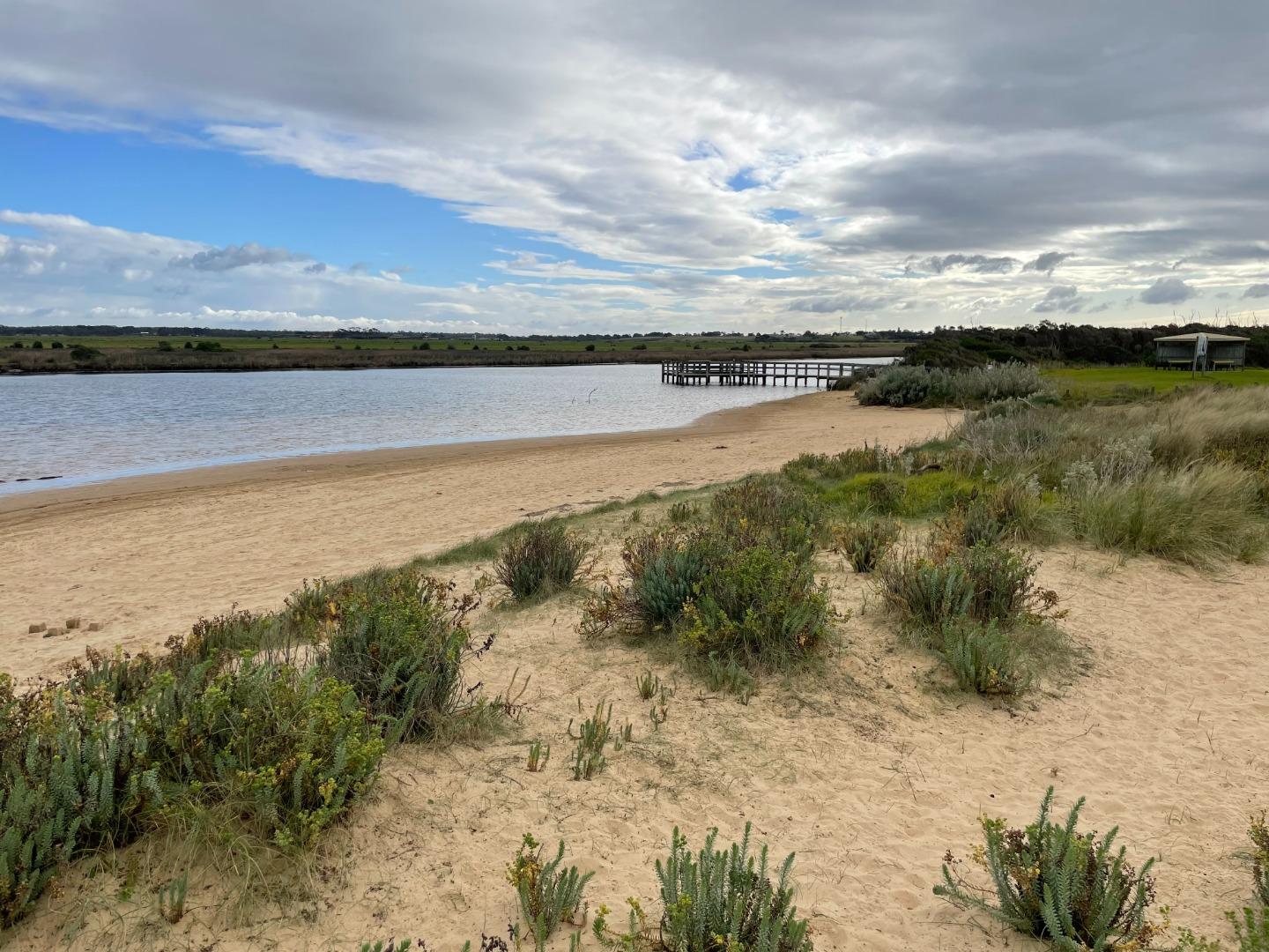
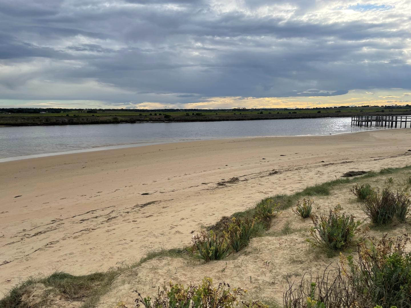
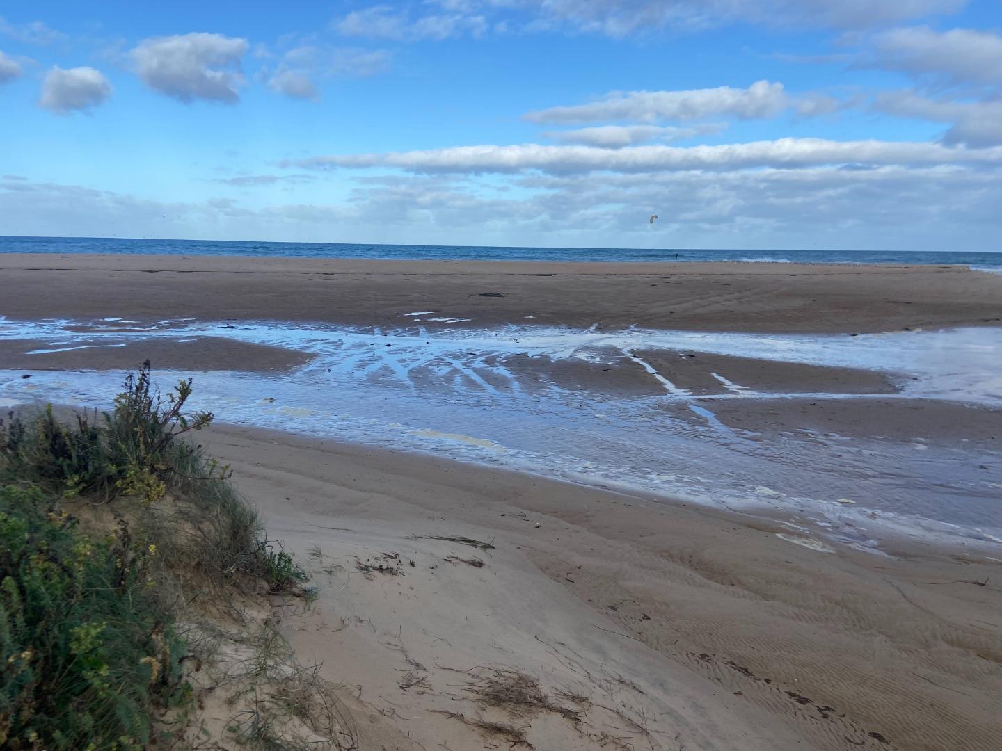
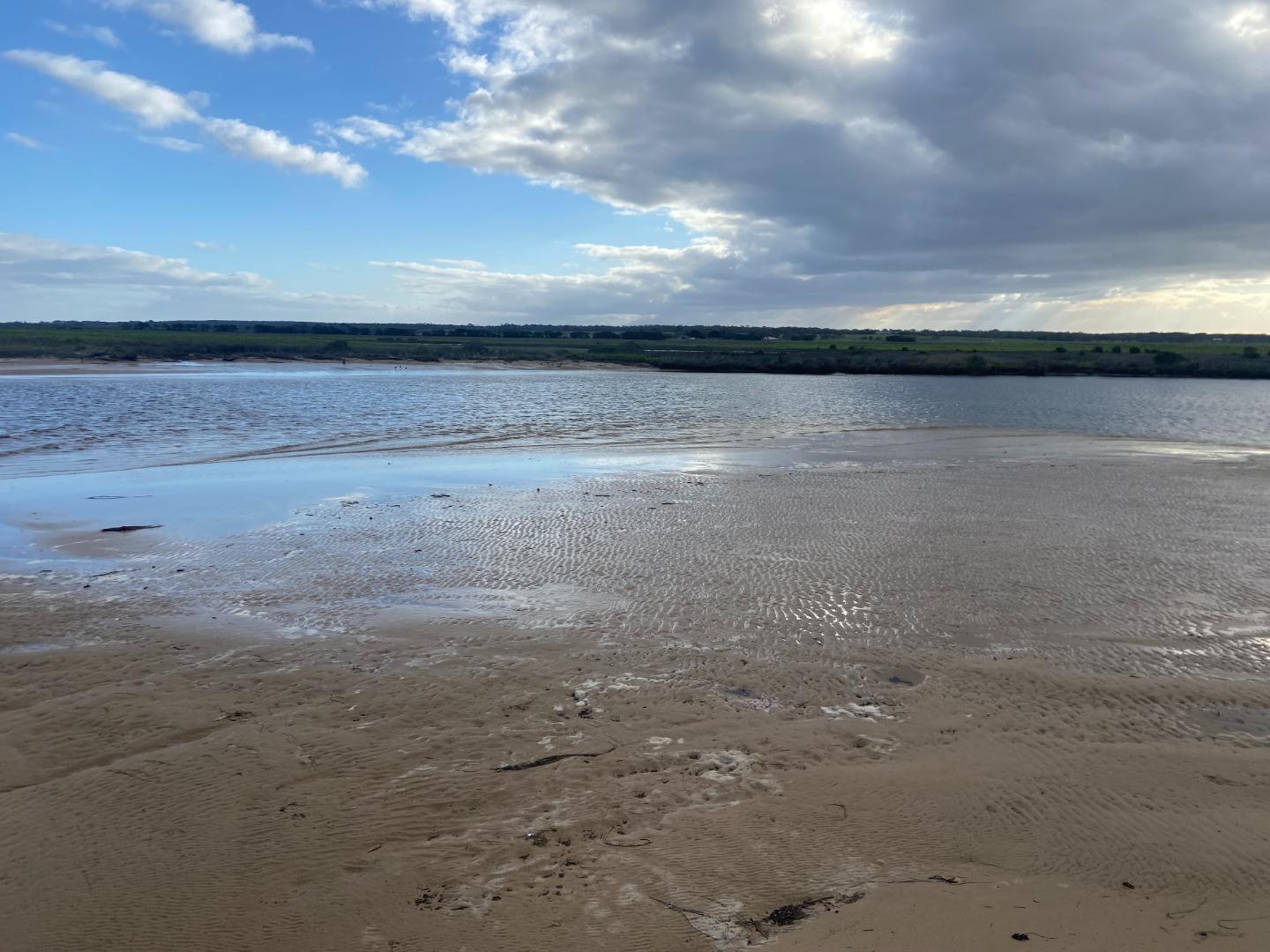
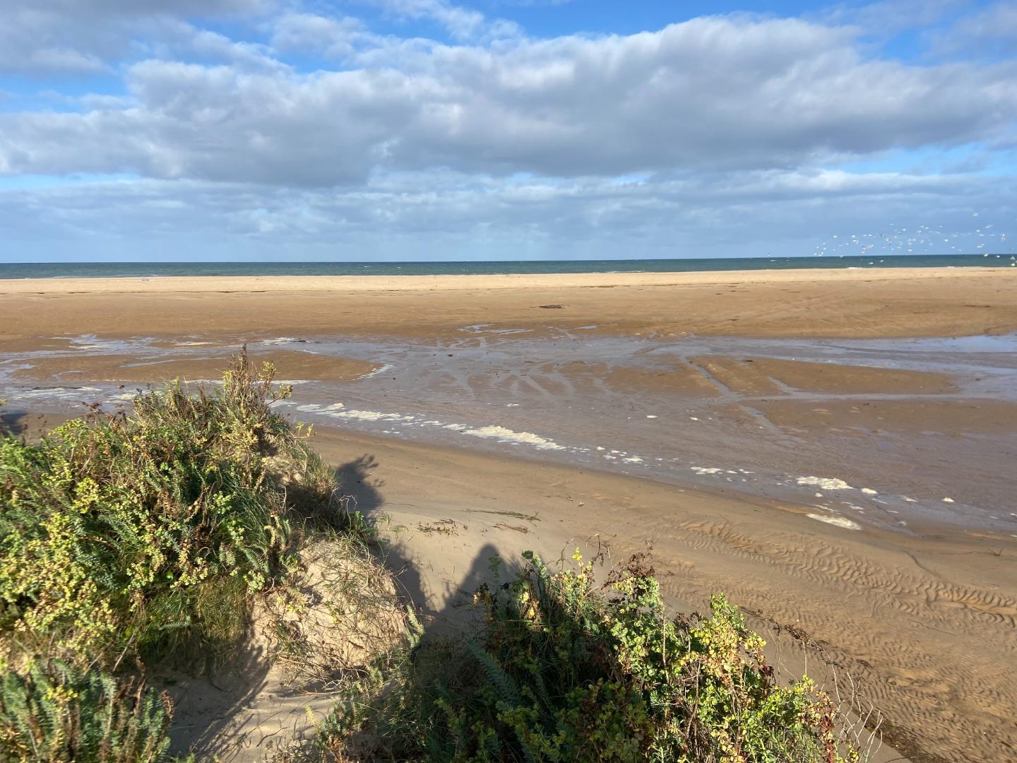
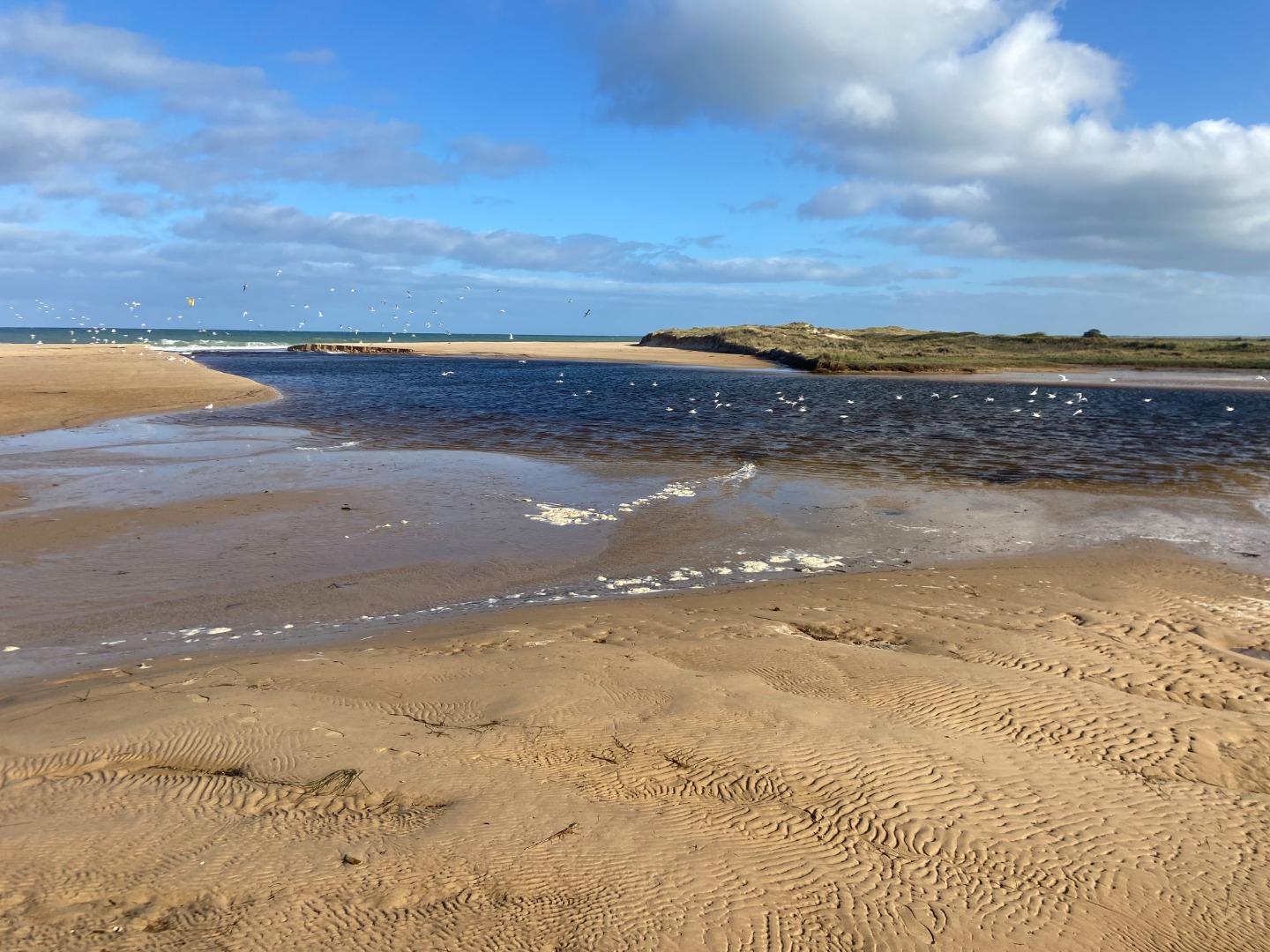
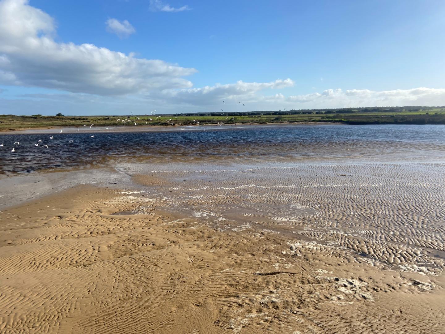
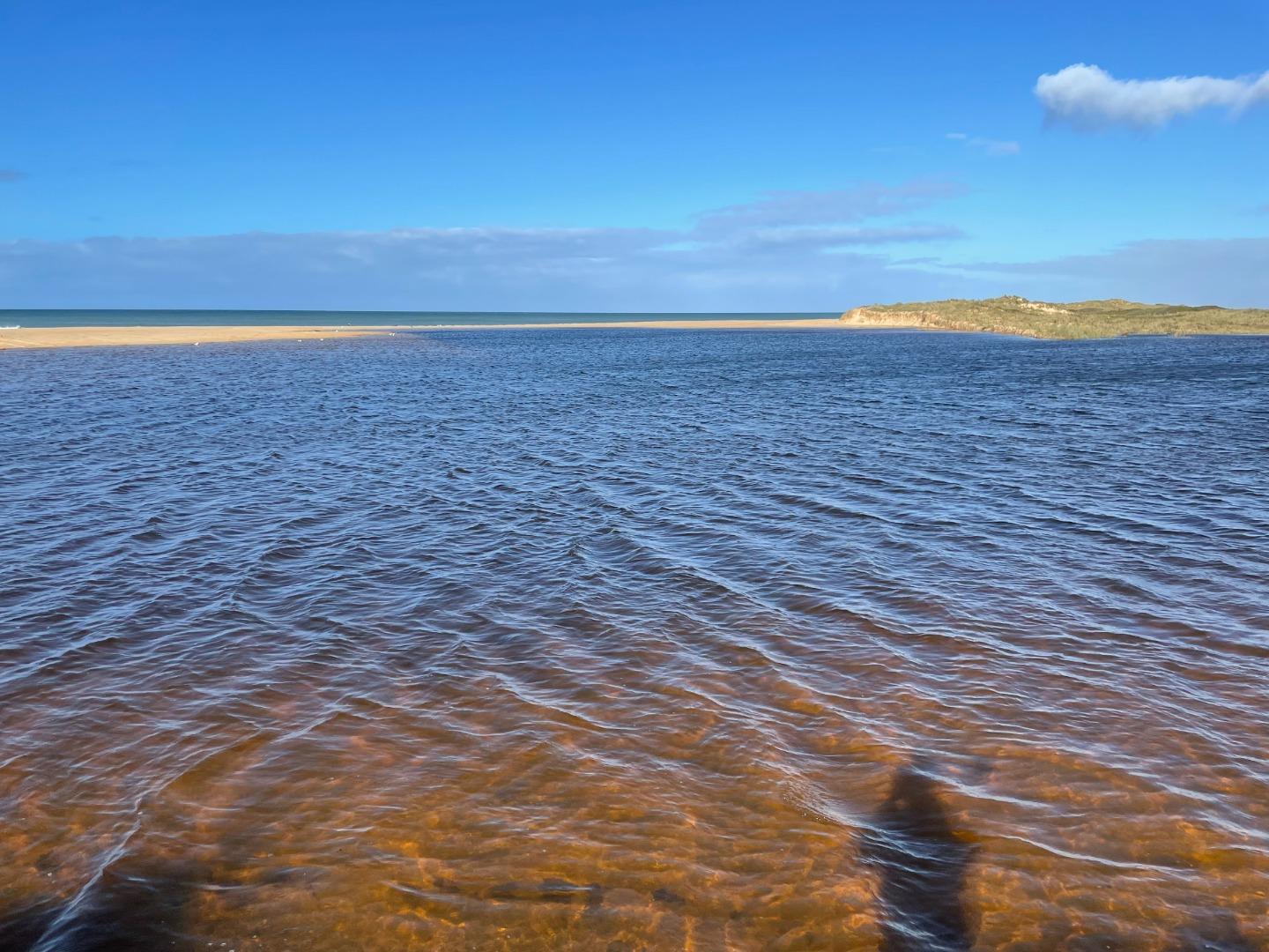
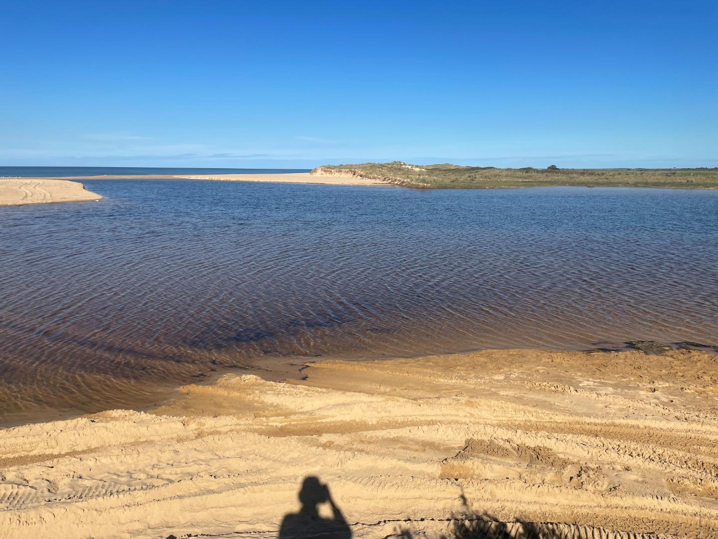
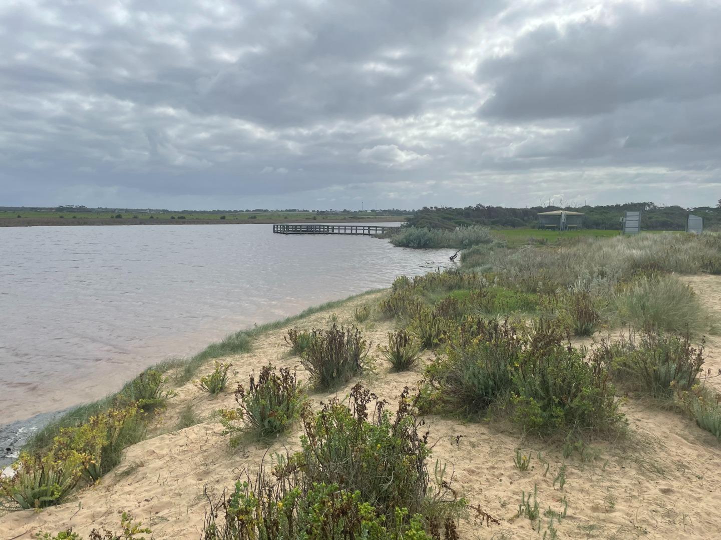
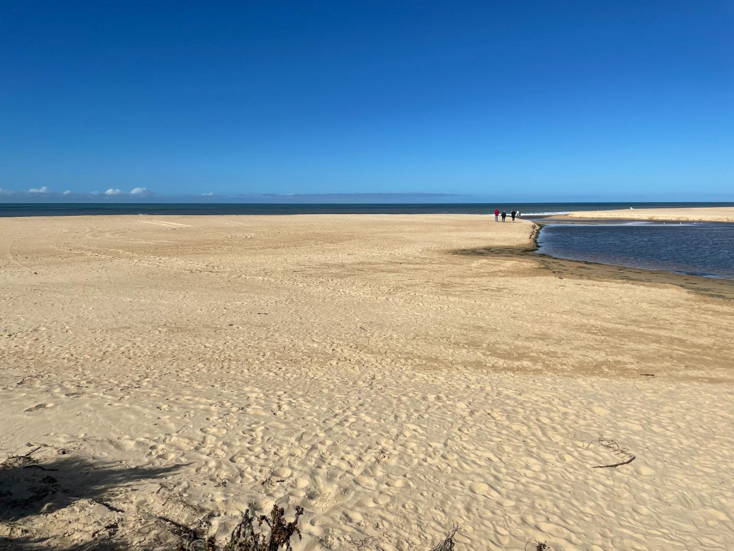
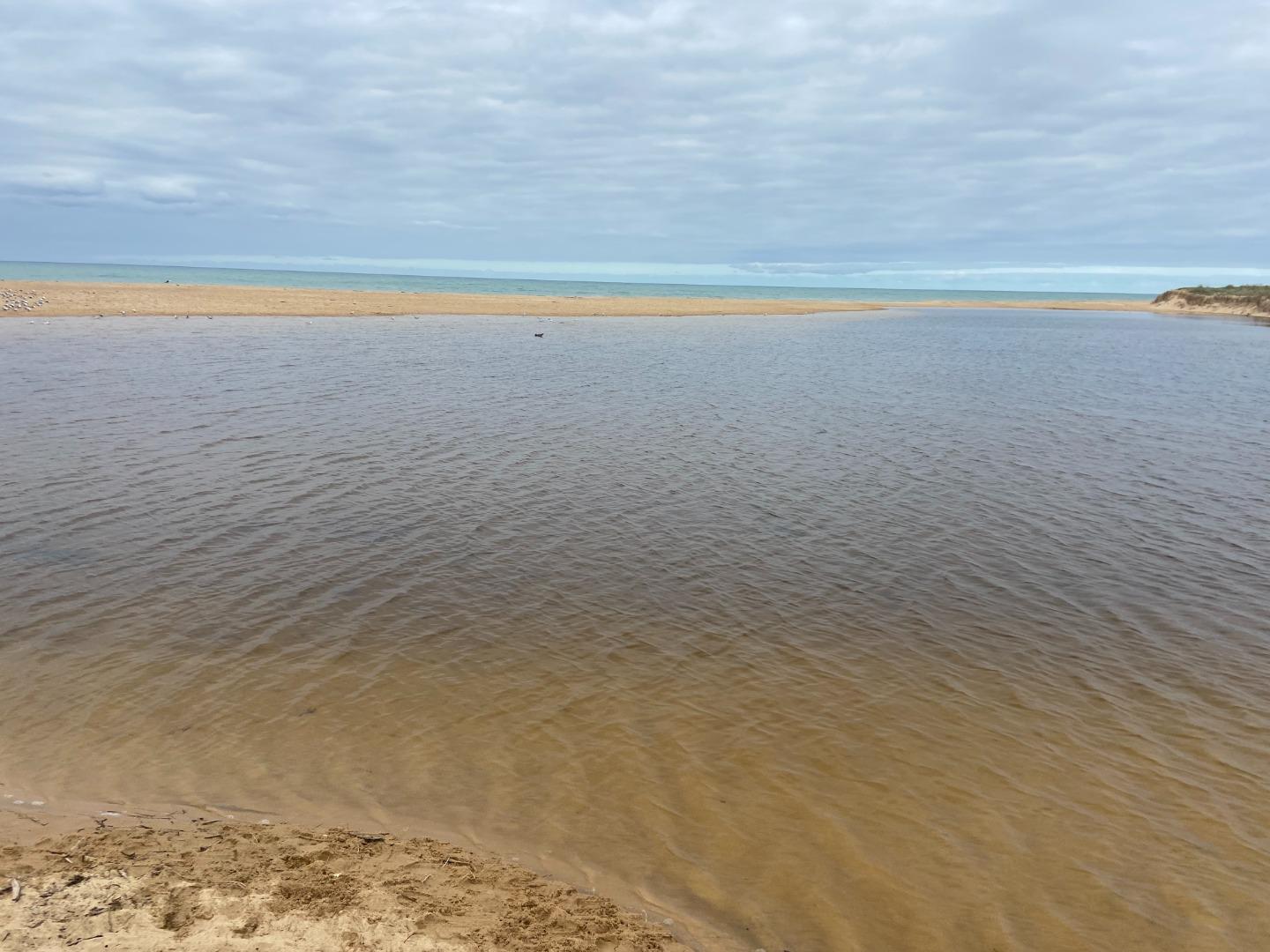
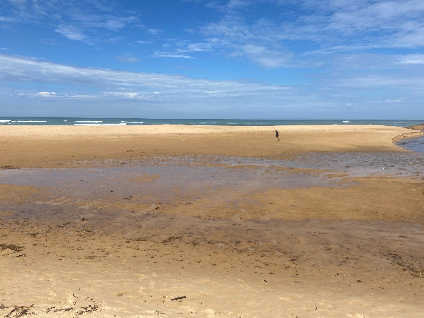
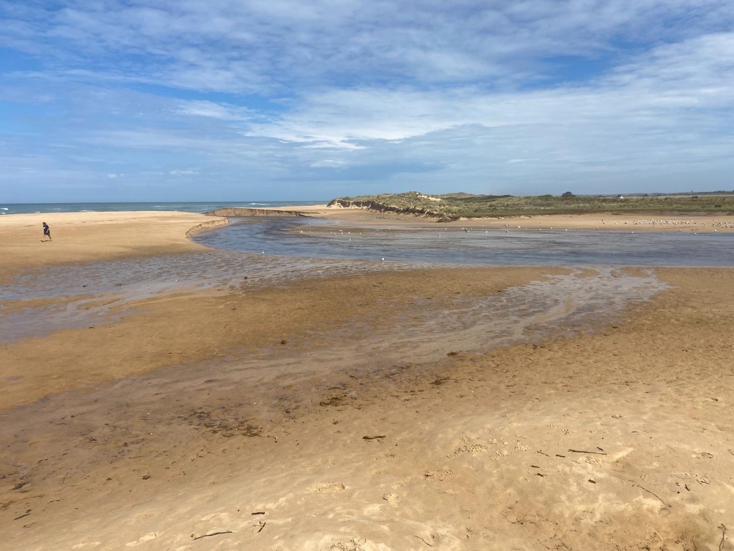
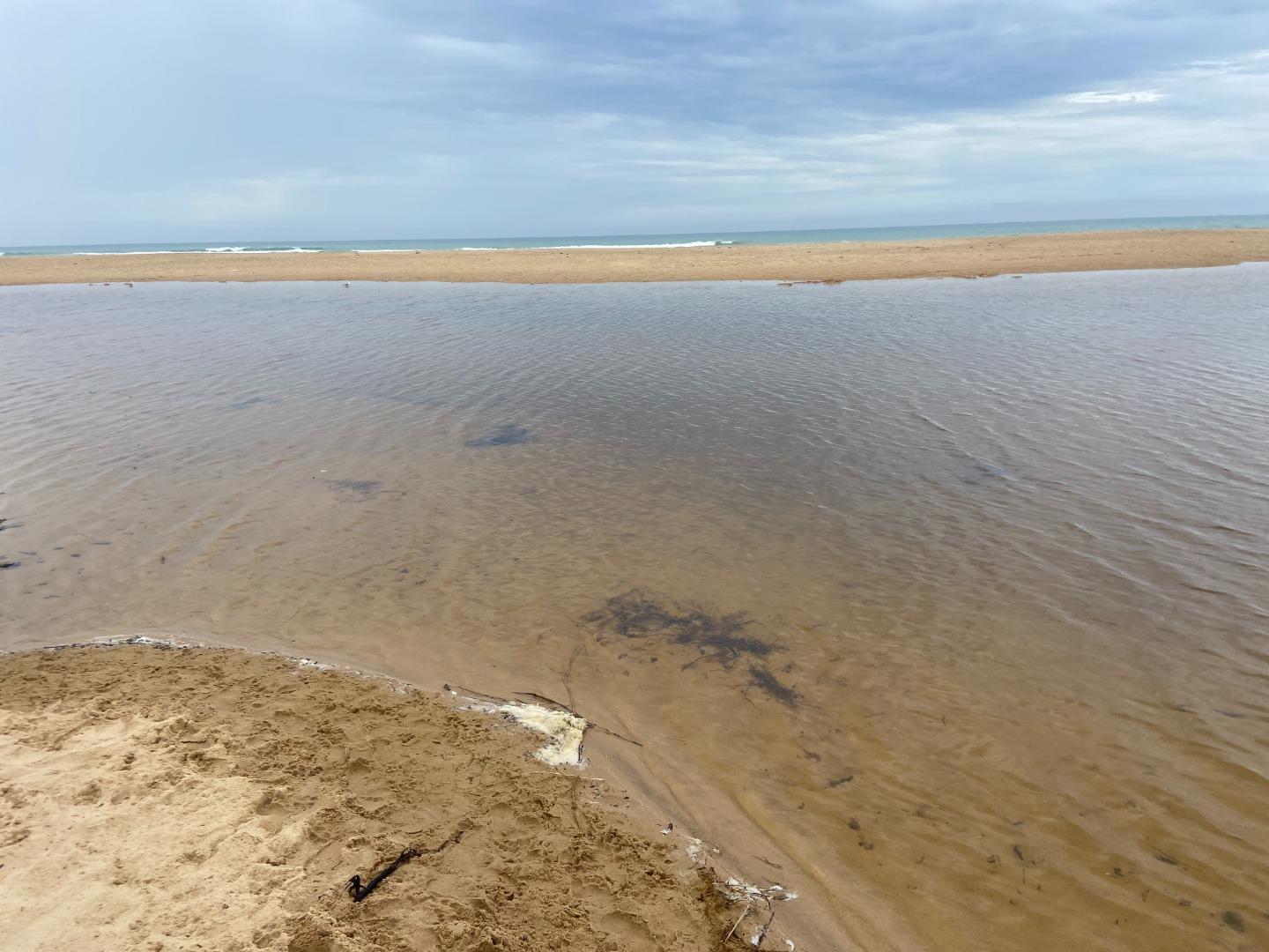
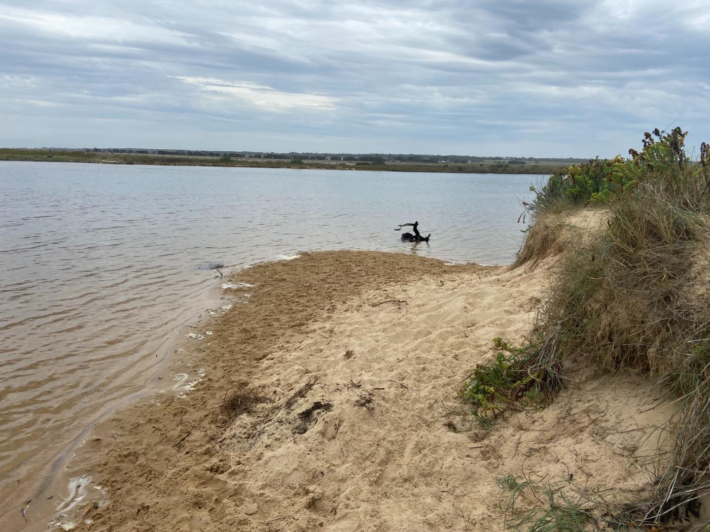
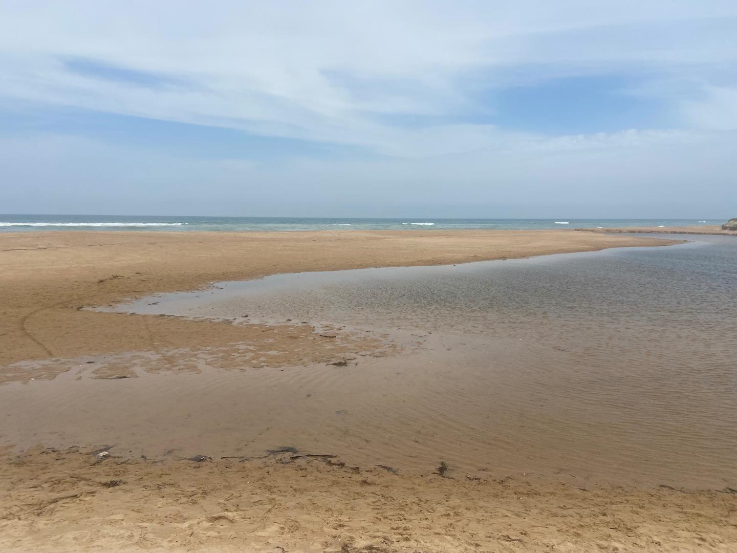
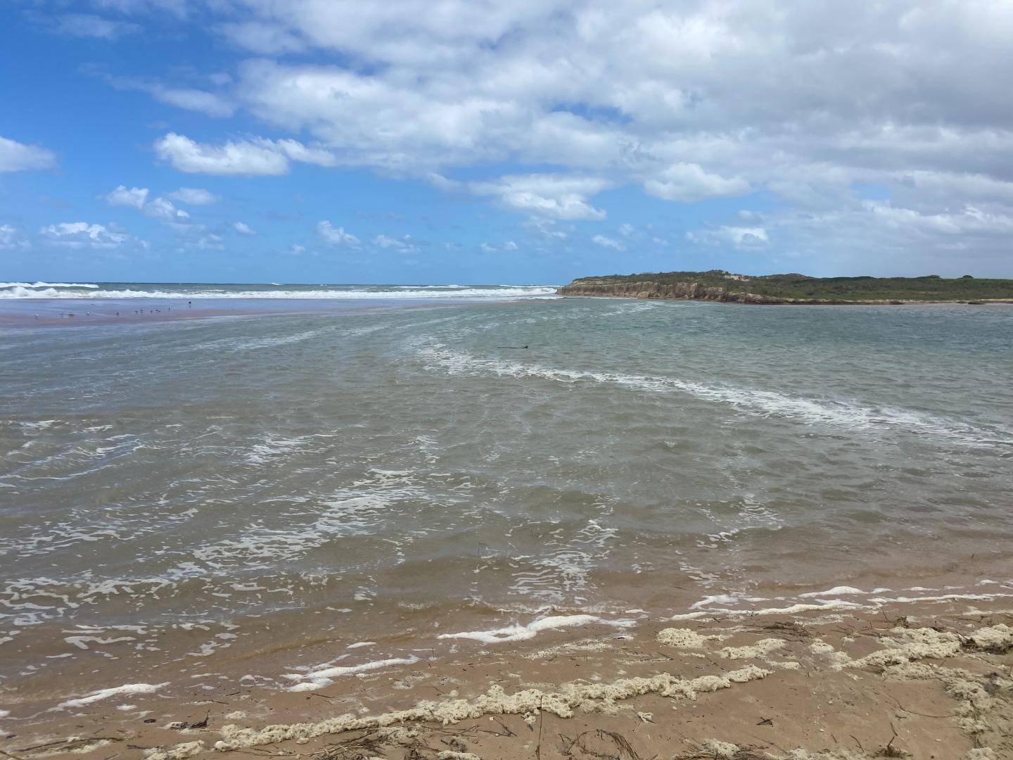
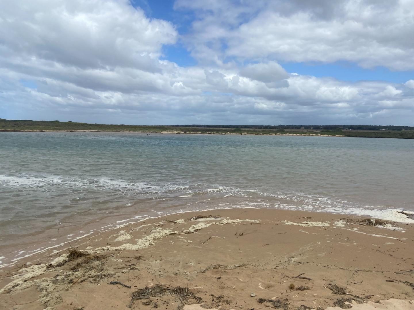
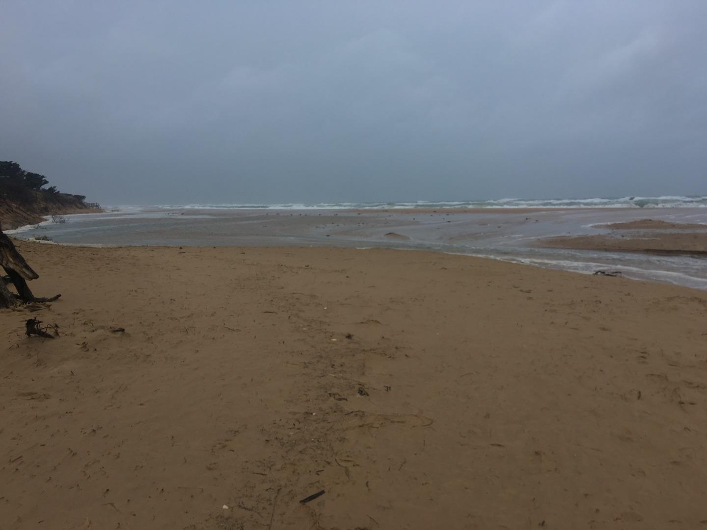
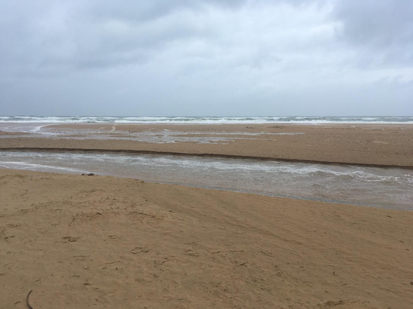
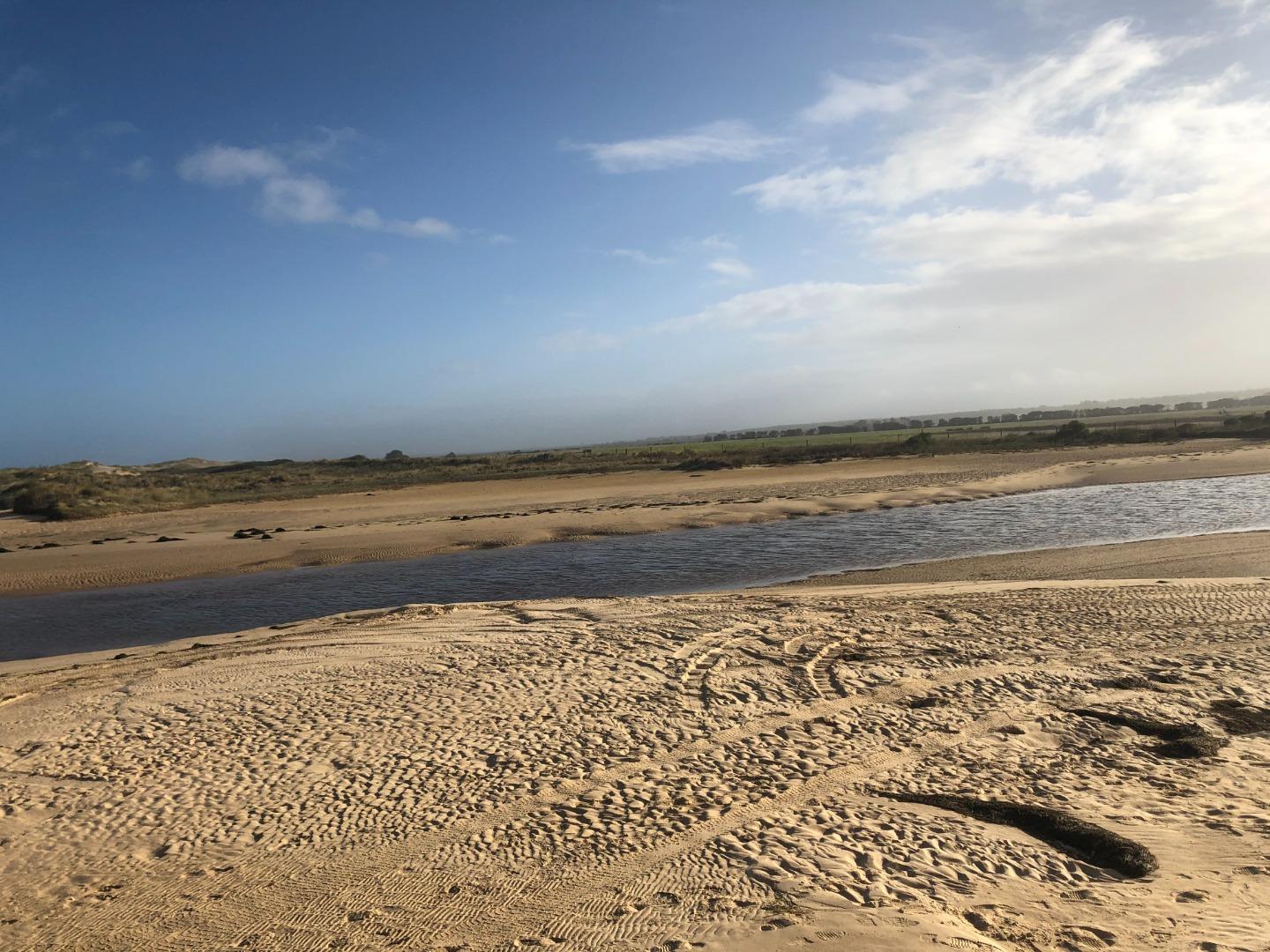
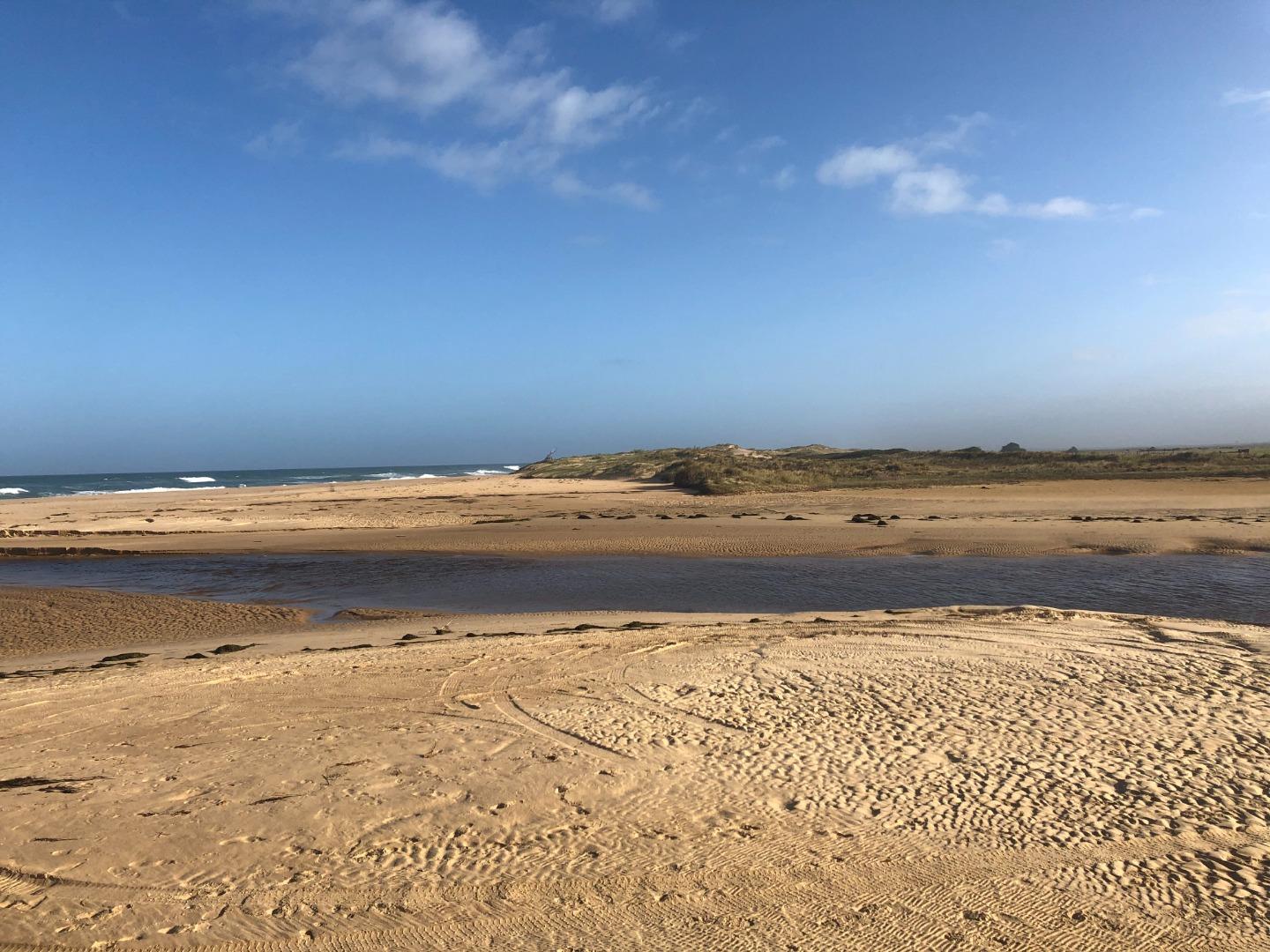
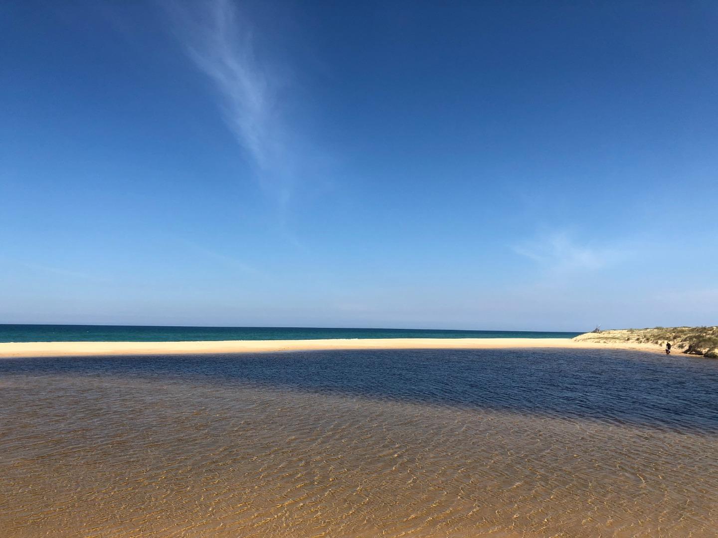
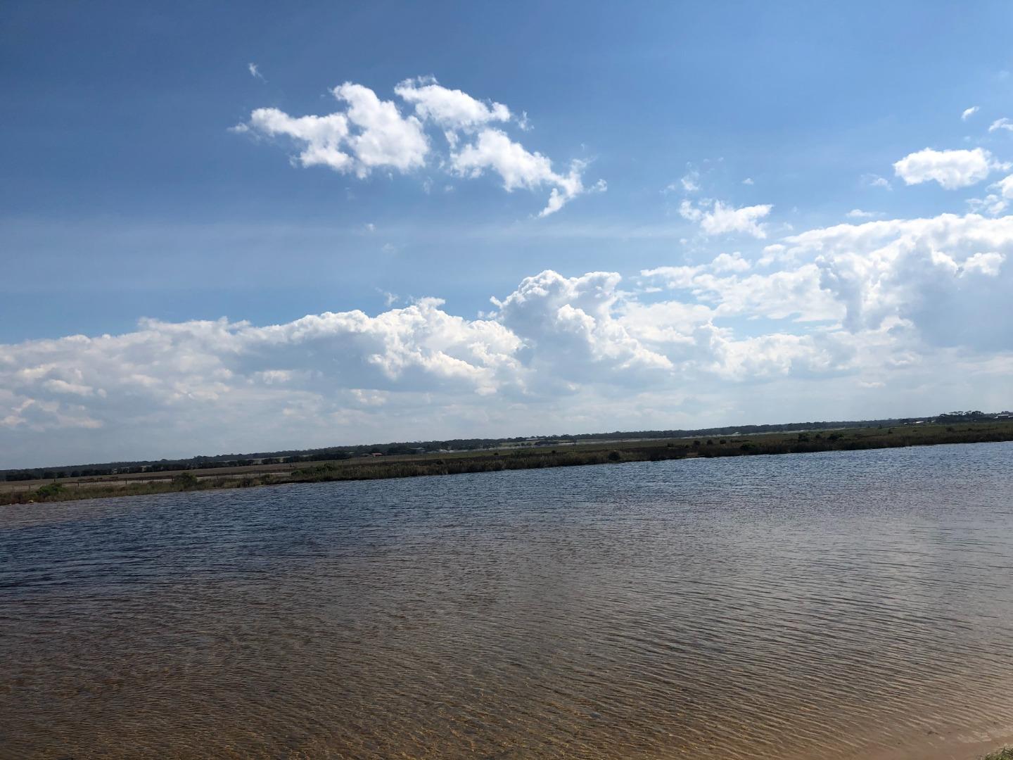
Merriman Creek, Mouth Observation SiteActive Mouth Condition 18-09-2020 - 23-04-2026Merriman Creek flows out into the surf beach. Due to the intensity of the wave action, the creek can be 'pushed' via longshore drift further up along the beach due to the intensity of the wave action. This can then threaten built assets such as the ramp access onto the beach from the surf beach and beach access boardwalks. The site is popular with fishermen, kayakers and surfers a like. There has been concerns in the past of flooding, and some anecdotal evidence of concerned residents 'opening' the estuary themselves. Currently there is a height gauge and the site has active telemetry of stream height organised by the Wellington Shire. Observations 83 |
MCp1 |
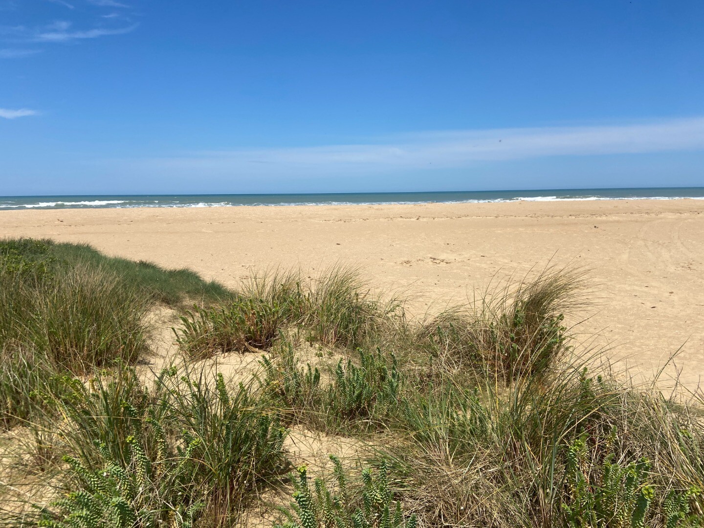
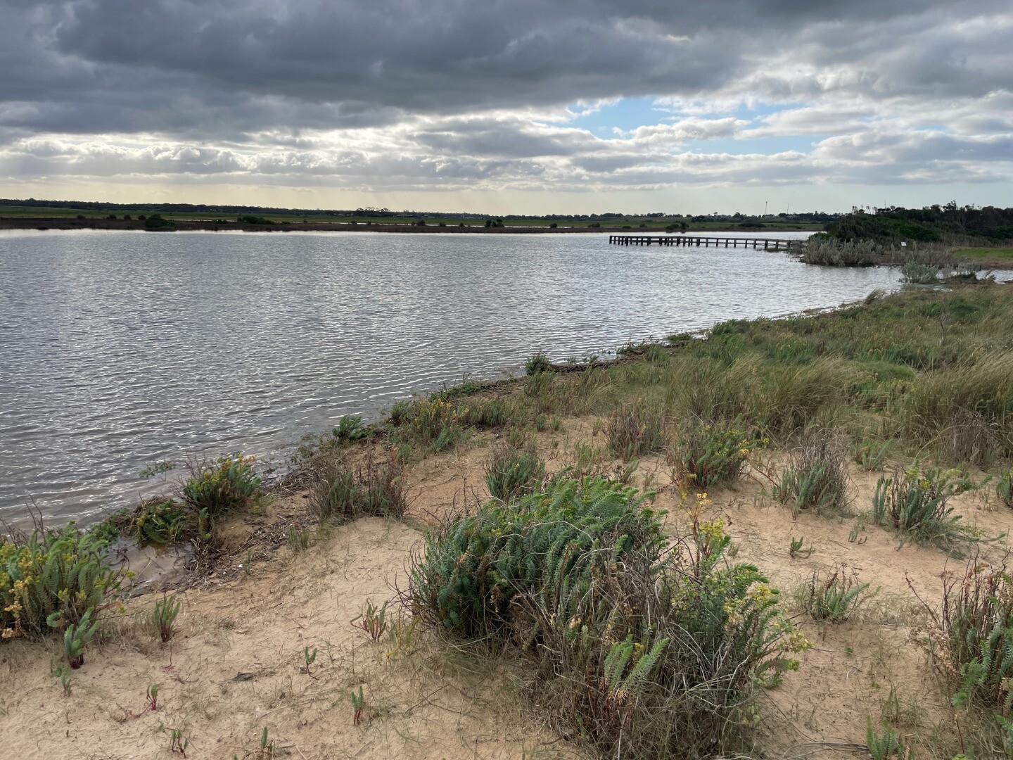
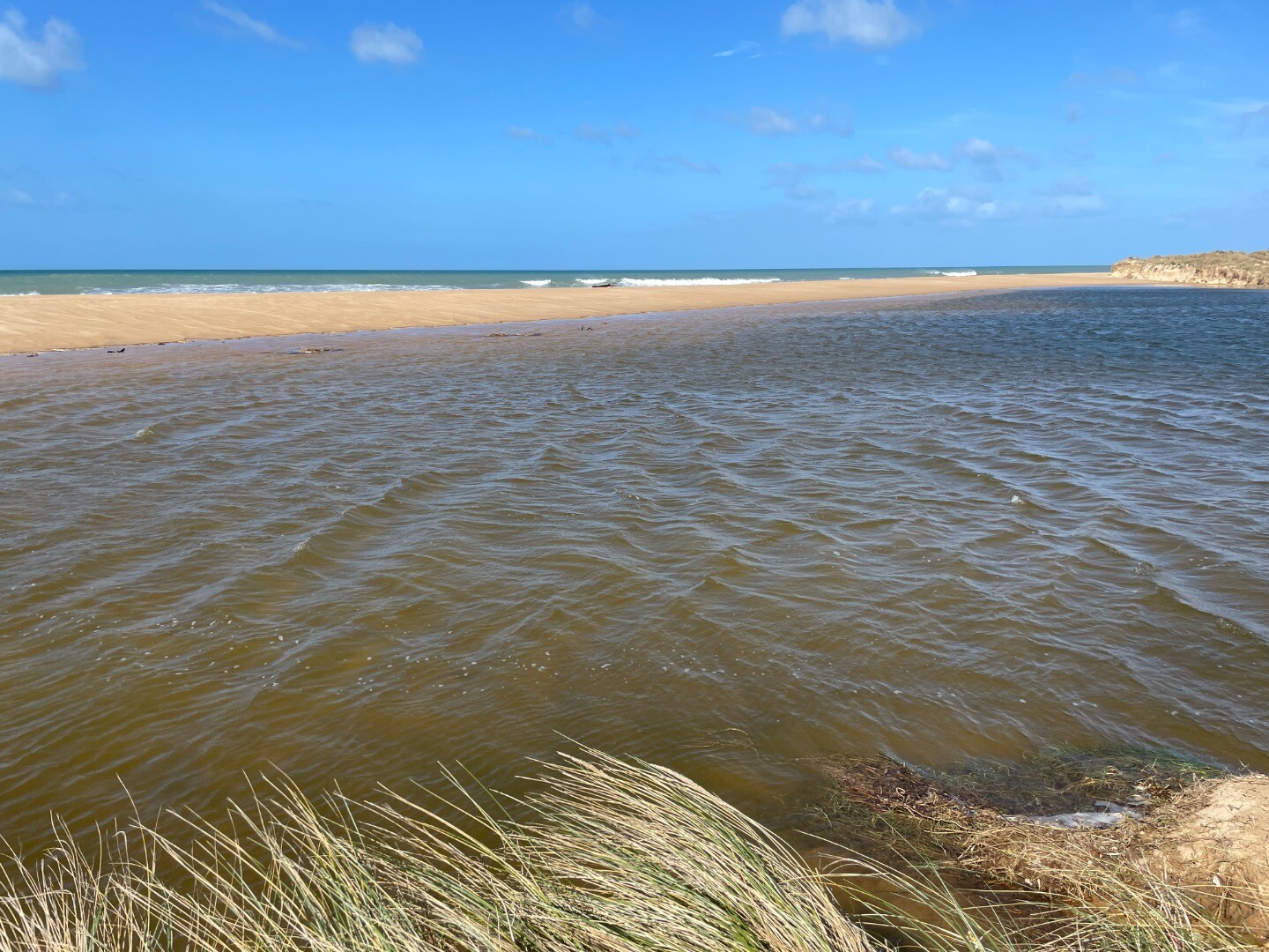
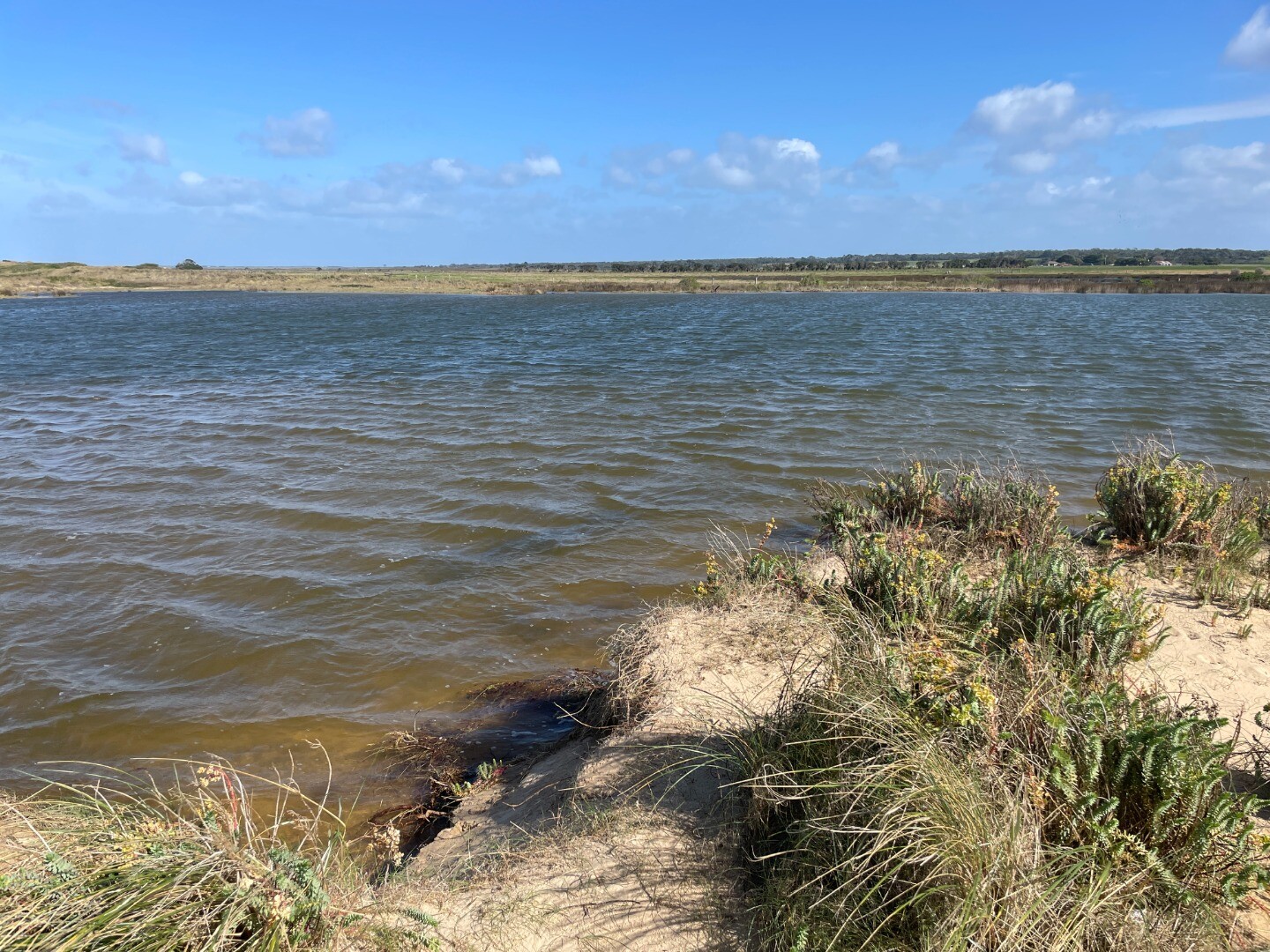
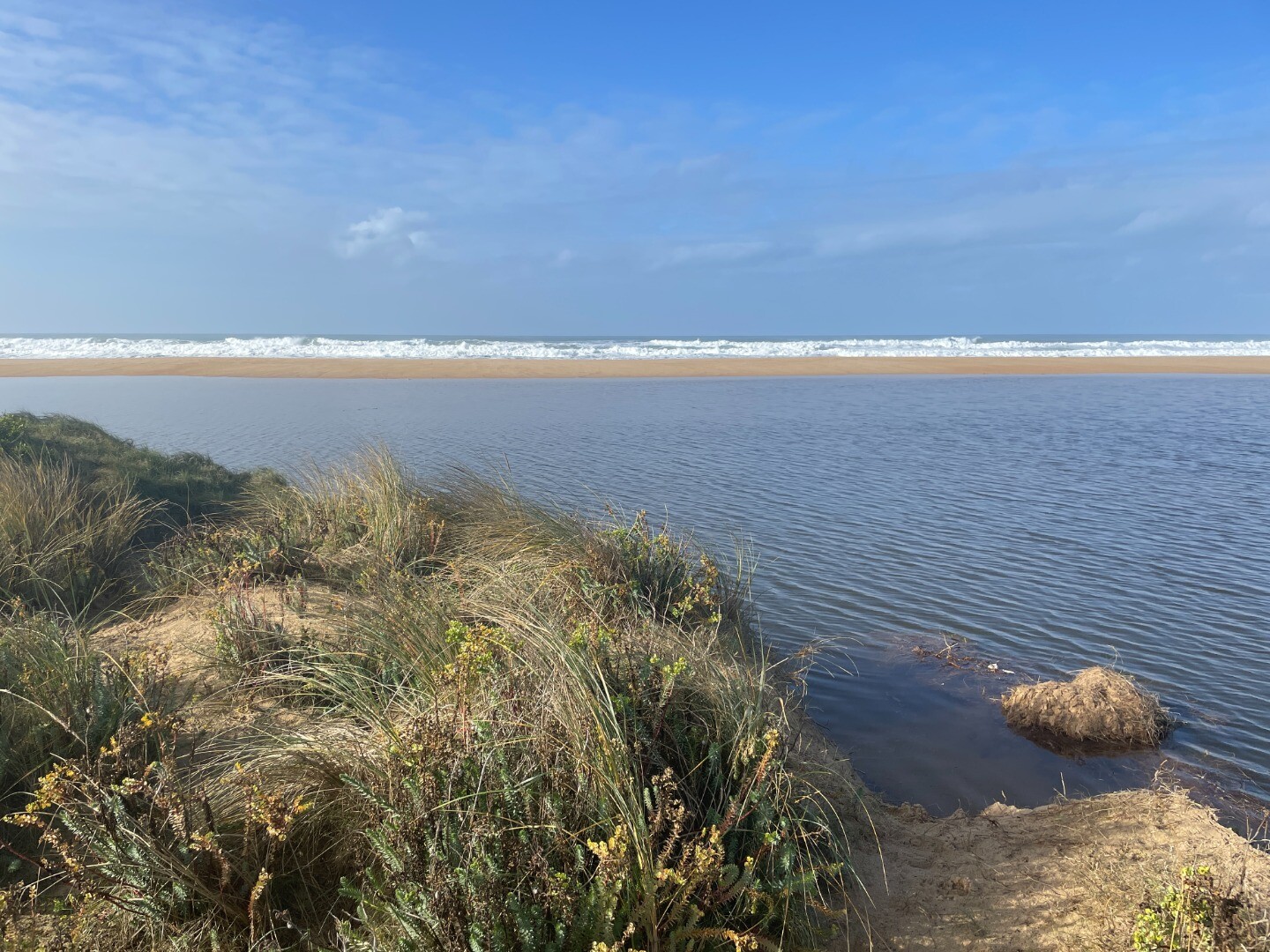
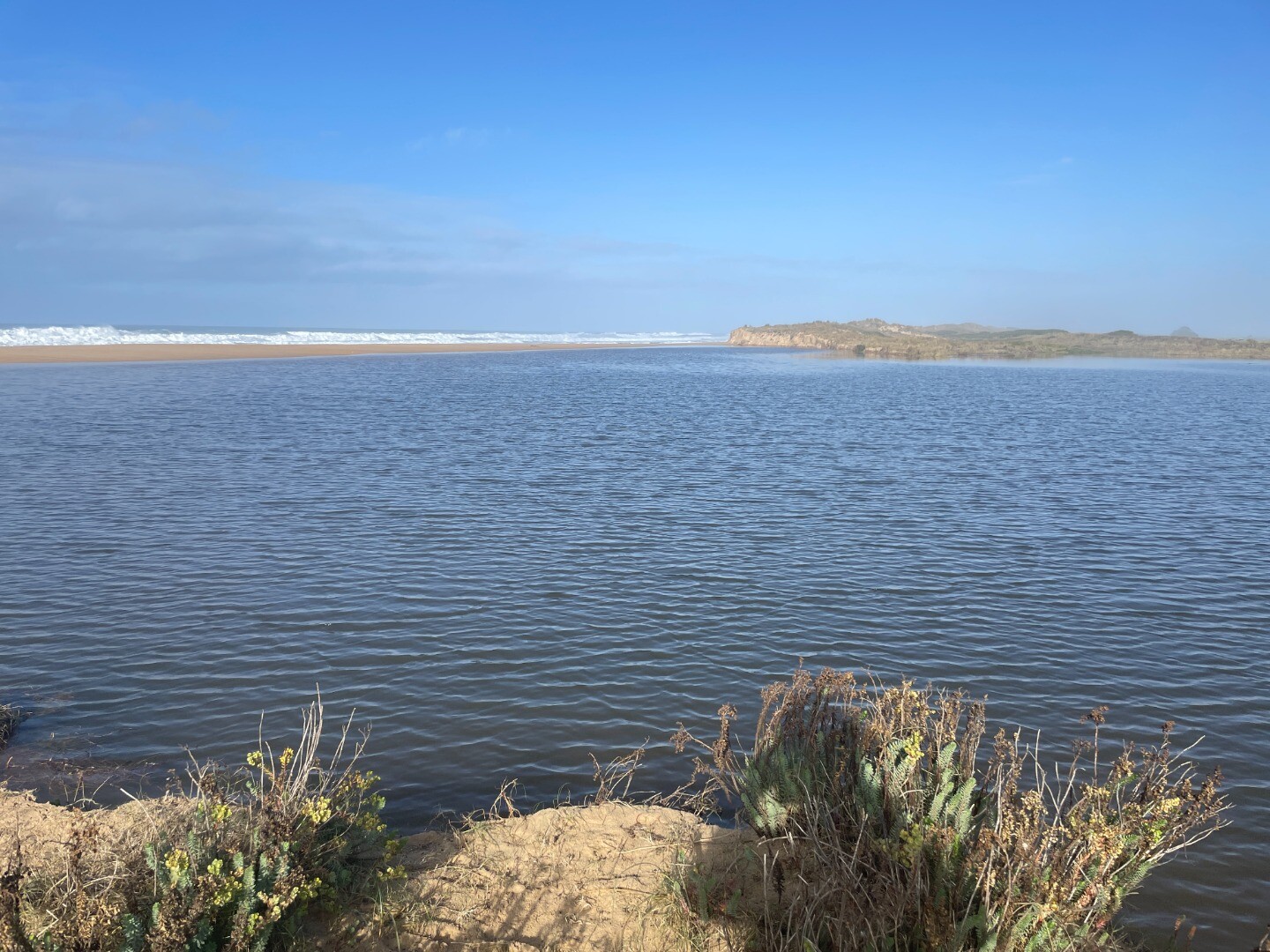
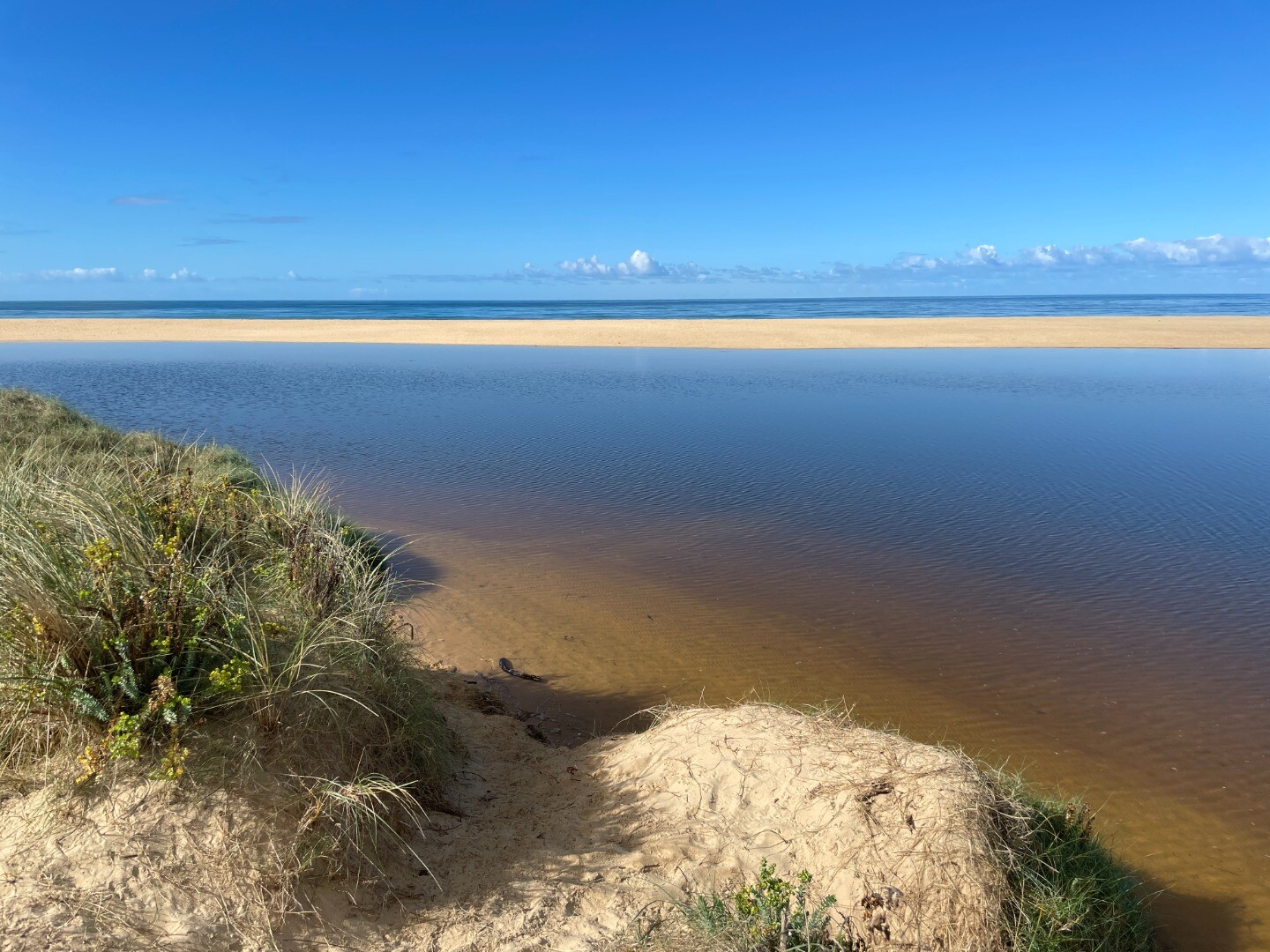
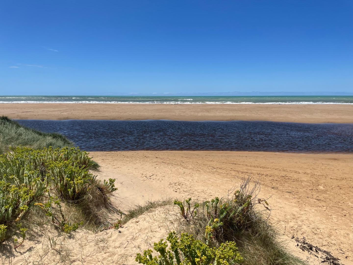
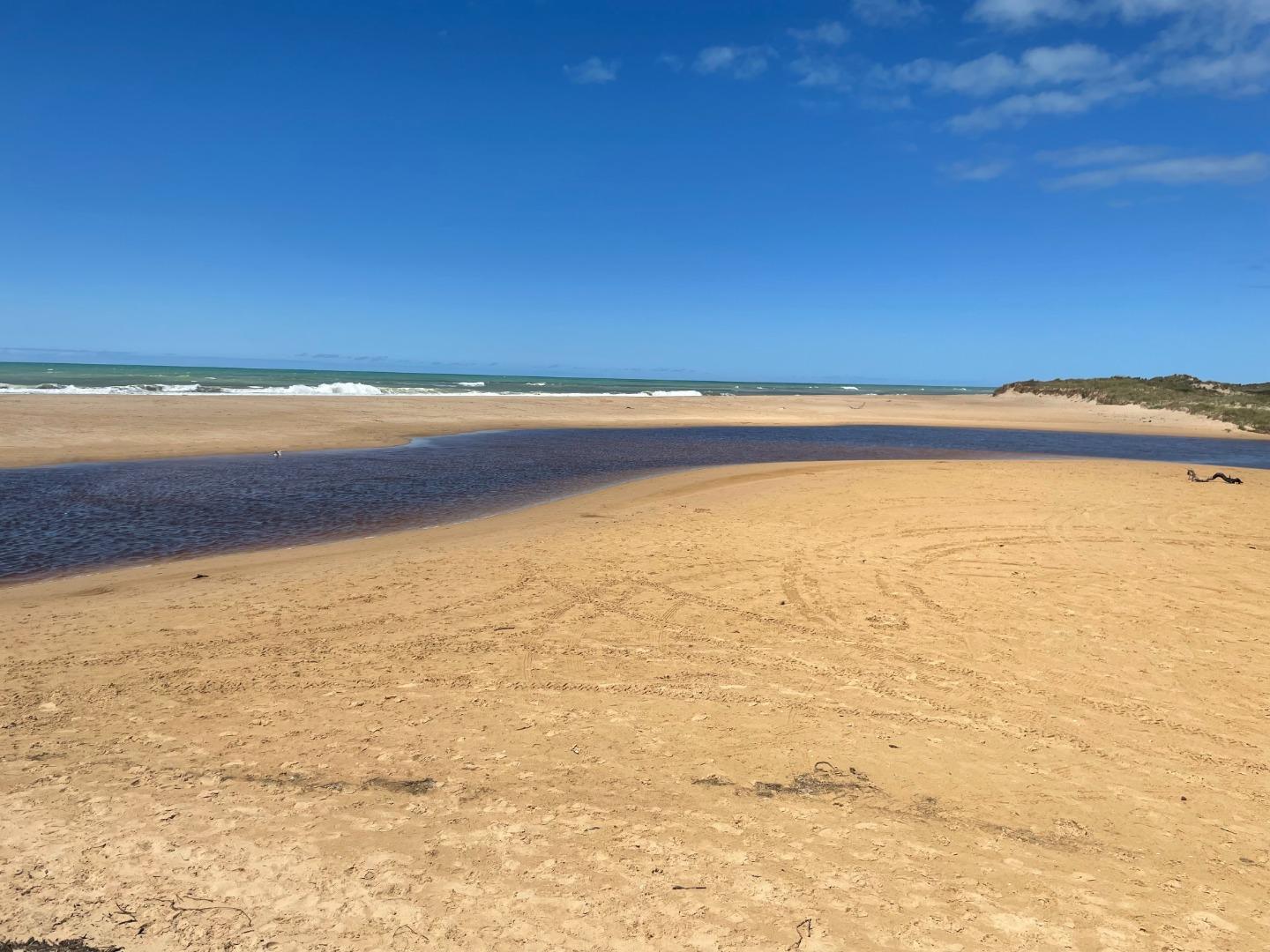
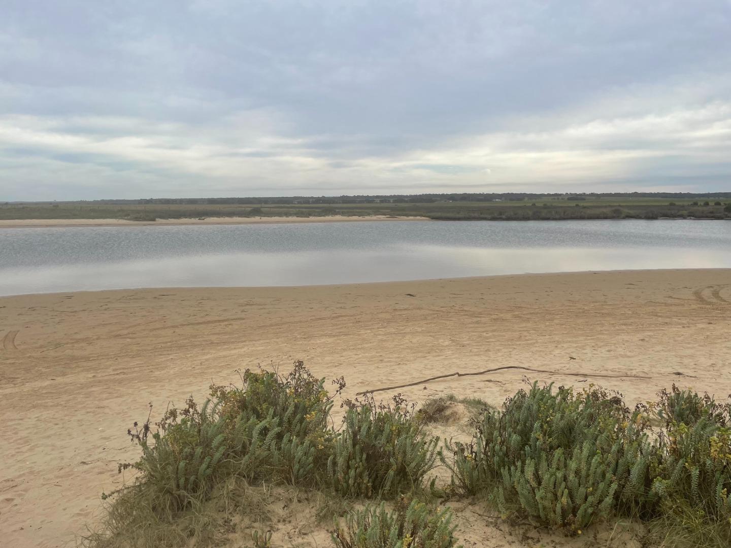
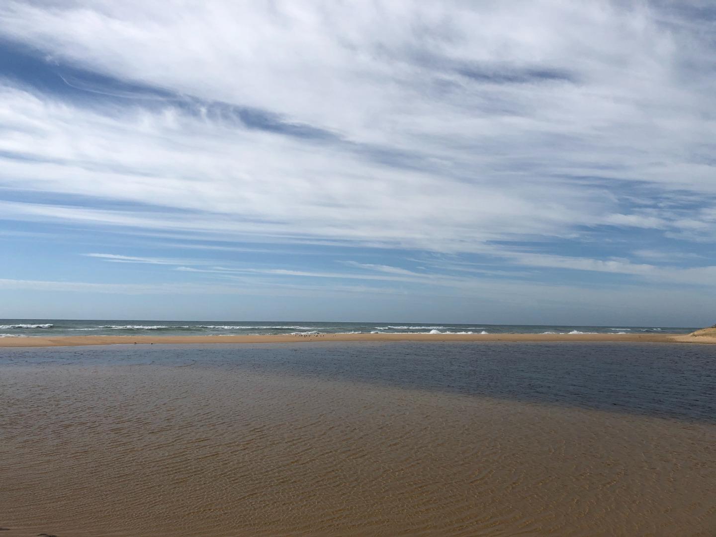
Merriman Creek, PhotopointActive Photopoint 09-11-2020 - 23-04-2026Merriman Creek Estuary is a wave dominated estuary. Due to its location in a rain shadow it does not receive regular inundations but is known to close. Anecdotal evidence suggests concerned residents will open the estuary themselves if they see fit. A popular site for fishermen, surfers and kayakers alike. Photos 316 |
Winter 2026
Autumn 2026
Spring 2025
Winter 2025
Autumn 2025
Summer 2025
Spring 2024
Winter 2024
Autumn 2024
Summer 2024
Spring 2023
Winter 2023
Autumn 2023
Summer 2023
Spring 2022
Winter 2022
Autumn 2022
Summer 2022
Spring 2021
Autumn 2021
Summer 2021
Mouth Condition Snapshots


We honour Elders past and present whose knowledge and wisdom has ensured the continuation of culture and traditional practices.
 All content, files, data and images provided by the EstuaryWatch Data Portal subject to a Creative Commons Attribution License
Data portal by CeRDI
All content, files, data and images provided by the EstuaryWatch Data Portal subject to a Creative Commons Attribution License
Data portal by CeRDI