Lake Tyers
East Gippsland CMA
DOWNLOAD DATAOverview
Active Internal
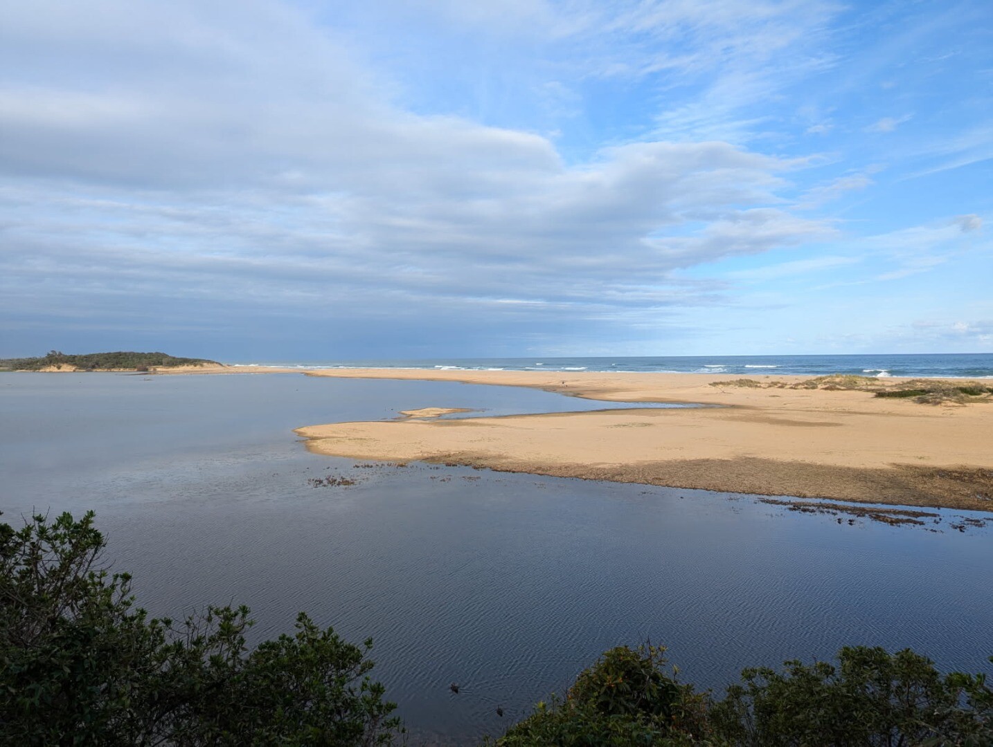
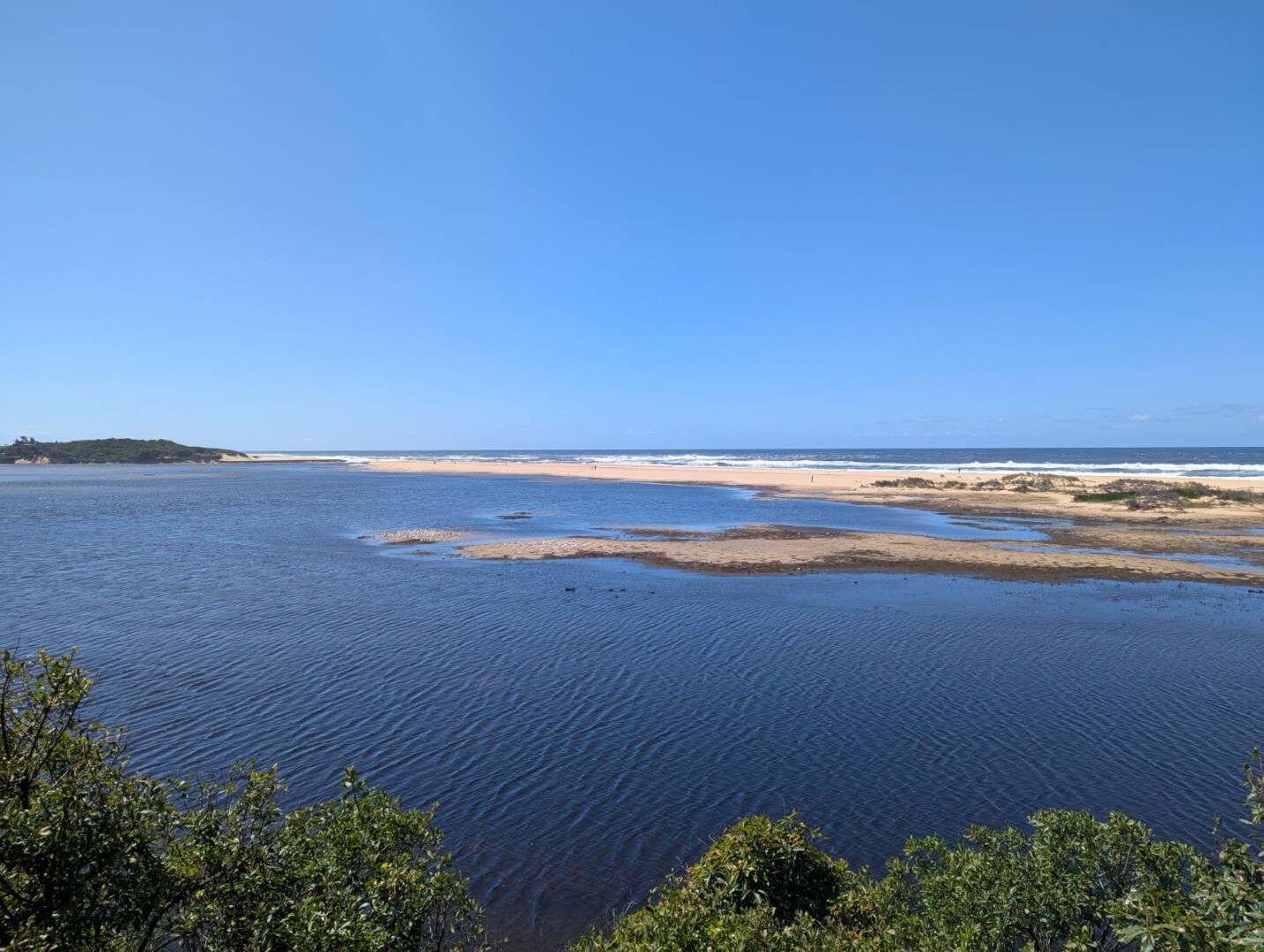
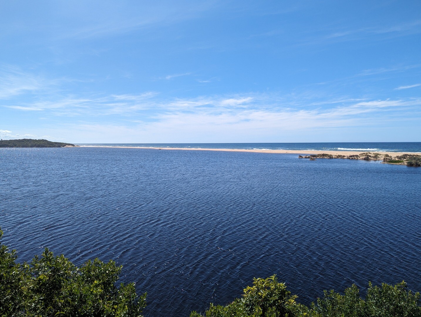
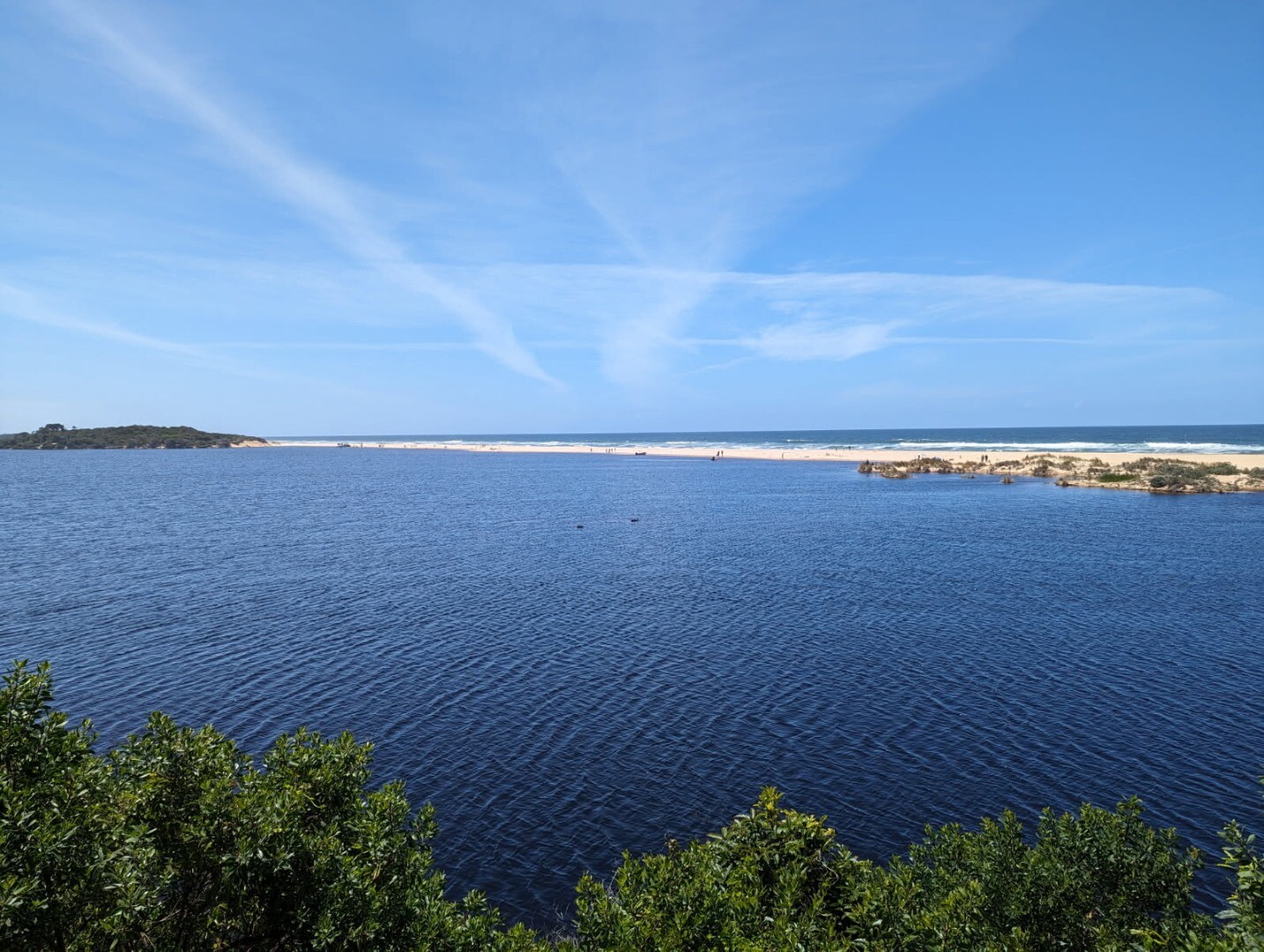
Located east of Lakes Entrance, Lake Tyers Estuary is subject to long closures due to its small catchment size relative to its surface area. The estuary has formed behind a long (approximately 800 m) sand barrier. Westerly waves and winds play a large role in driving sediment transport and building the sand barrier in front of Lake Tyers Estuary, disconnecting the estuary from Bass Strait. With its relatively small catchment, high rainfall and river flows are needed to trigger a natural opening and sustain an artificial opening at Lake Tyers.
Map
Estuary Values
Part of the Gippsland Lakes Ramsar International Wetland of Significance and supports important ecological communities. Highly valued by visitors and residents for its recreational fishing and boating.Estuary Threats
Unauthorised openings of the estuary when environmental conditions are not suitable can result in interruptions to fish breeding cycles and potentially lead to fish kills.Recent Events
No recent estuary events found
View all events
Sites
LT BC1 |
Boggy Creek UpperActive Physico-Chemical 09-09-2024 - 18-02-2025Observations 11 |
LT BC2 |
Boggy Creek LowerActive Physico-Chemical 18-02-2025 - 18-02-2025Observations 1 |
LT FP |
Lake Tyers Fluker PostActive Mouth Condition 31-12-2023 - 04-04-2025Photo point site at fluker post. Observations 4 |
LT HV |
Happy Valley TrackActive Physico-Chemical 09-09-2024 - 18-02-2025Observations 5 |
LT ML |
Morgans LandingActive Physico-Chemical 08-08-2024 - 18-02-2025Observations 5 |
LT PP1 |
Lake Tyers Photo point (Fluker post)Active Photopoint 17-04-2025 - 17-04-2025Established fluker post photo point Photos 4 |
LT TA1 |
Toorloo Arm NorthActive Physico-Chemical 08-08-2024 - 18-02-2025Observations 6 |
LT TA2 |
Toorloo Arm MidActive Physico-Chemical 08-08-2024 - 18-02-2025Observations 6 |
LT TA3 |
Toorloo Arm SouthActive Physico-Chemical 08-08-2024 - 18-02-2025Observations 6 |
LT TrA |
Trident ArmActive Physico-Chemical 08-08-2024 - 18-02-2025Observations 6 |
Full estuary snapshots below use dates where samples at every active monitoring site were recorded.
View full and partial snapshots
Summer 2025
Spring 2024
Winter 2024
We acknowledge and respect Victorian Traditional Owners as the original custodians of Victoria’s land and waters, their unique ability to care for Country and deep spiritual connection to it.
We honour Elders past and present whose knowledge and wisdom has ensured the continuation of culture and traditional practices.
We honour Elders past and present whose knowledge and wisdom has ensured the continuation of culture and traditional practices.
 All content, files, data and images provided by the EstuaryWatch Data Portal subject to a Creative Commons Attribution License
Data portal by CeRDI
All content, files, data and images provided by the EstuaryWatch Data Portal subject to a Creative Commons Attribution License
Data portal by CeRDI