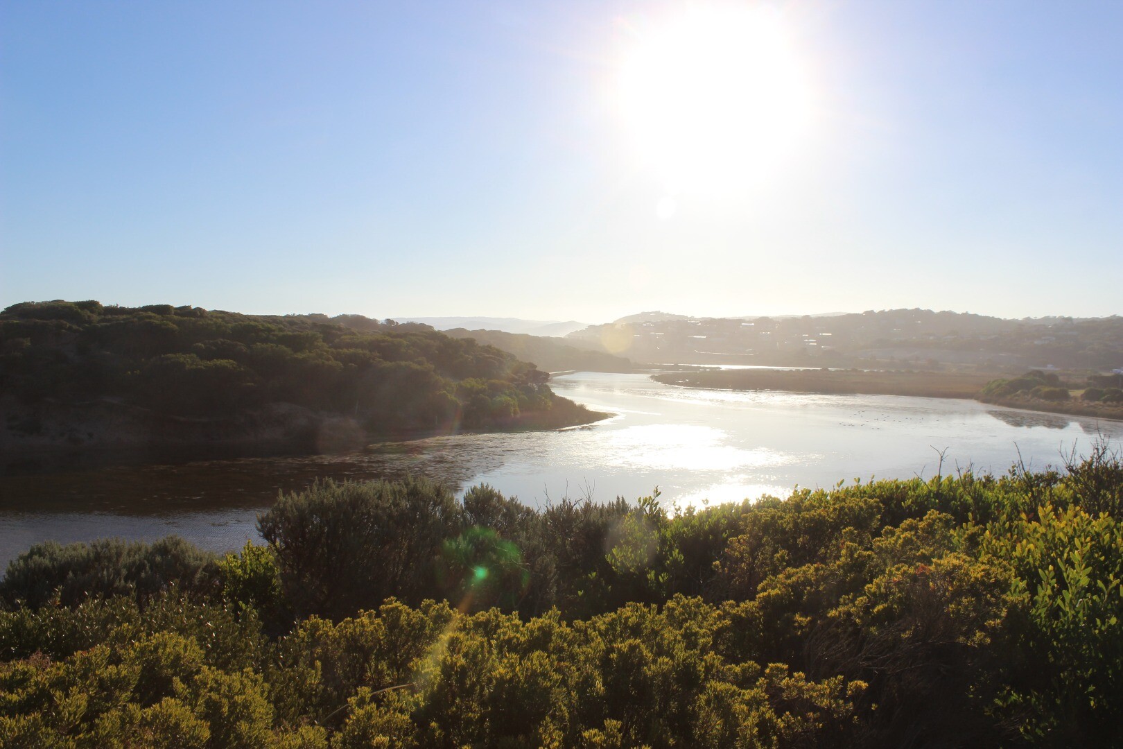
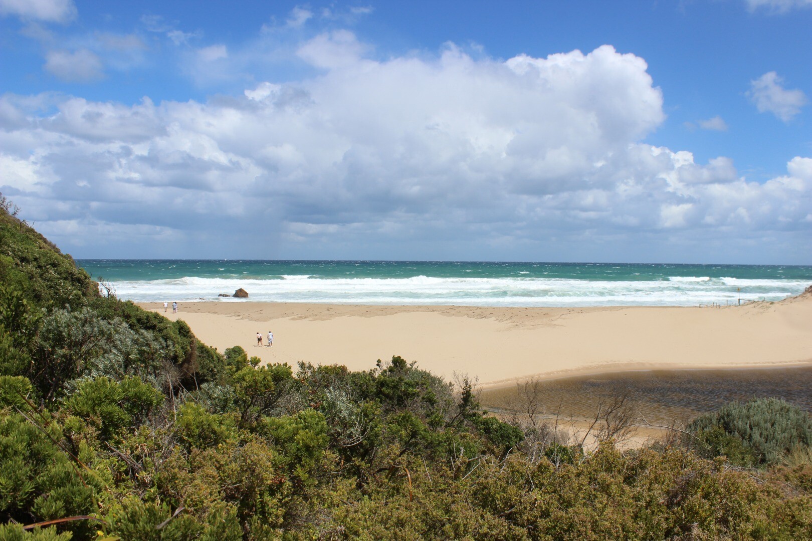
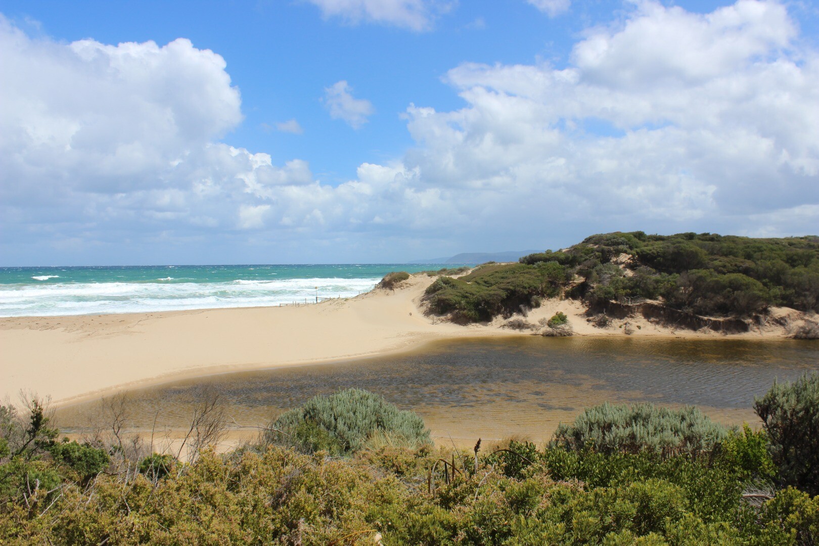
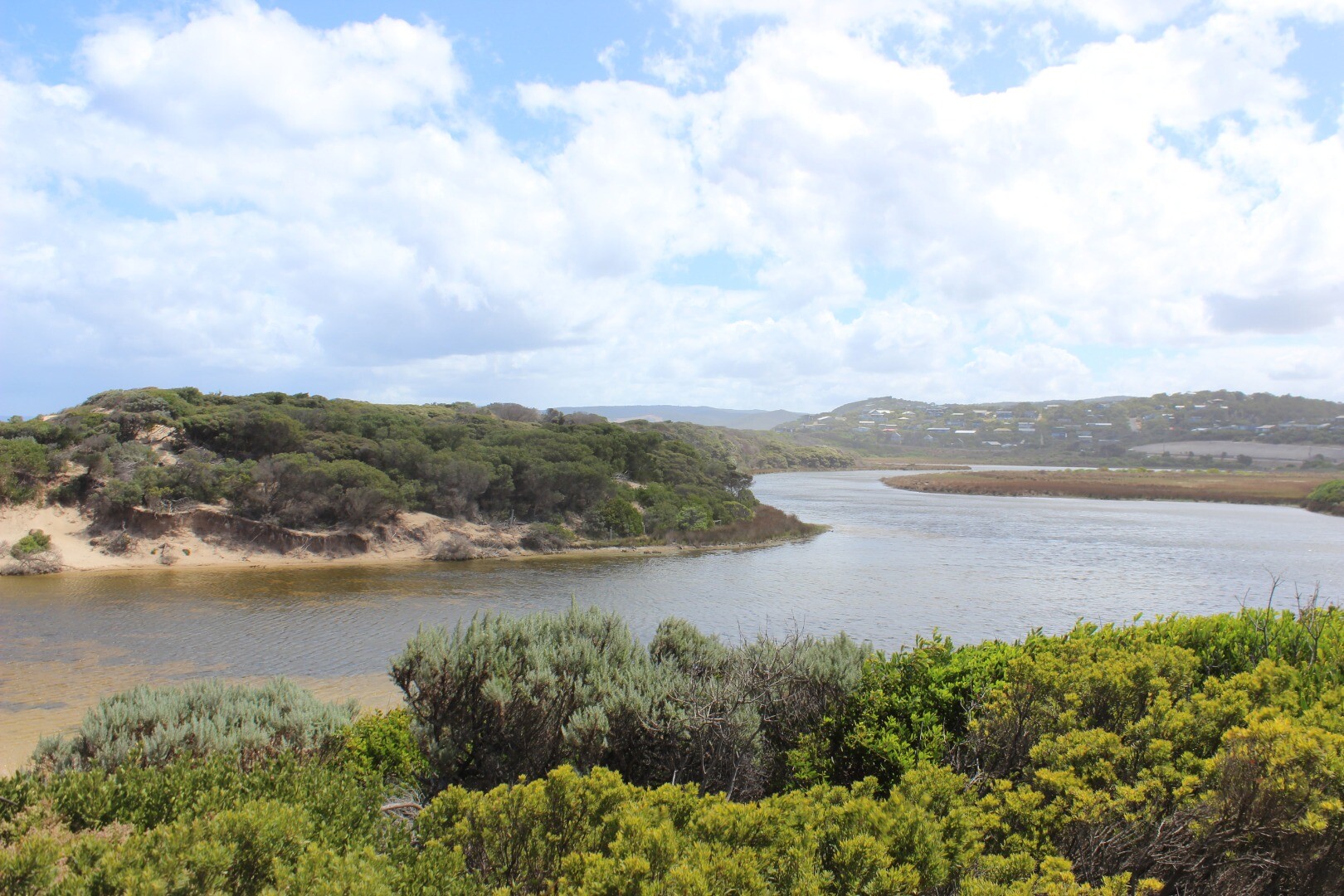
Painkalac Creek Estuary
Corangamite CMA
DOWNLOAD DATAOverview
Active Painkalac Creek EstuaryWatchers
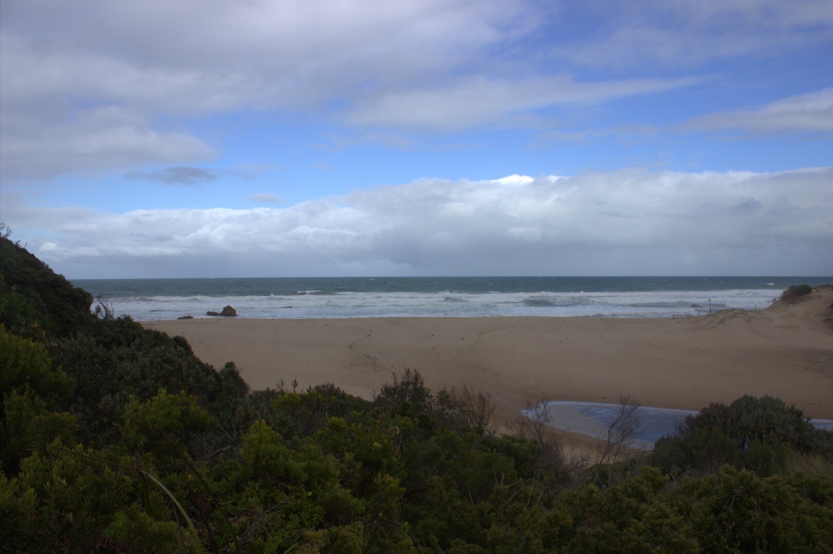
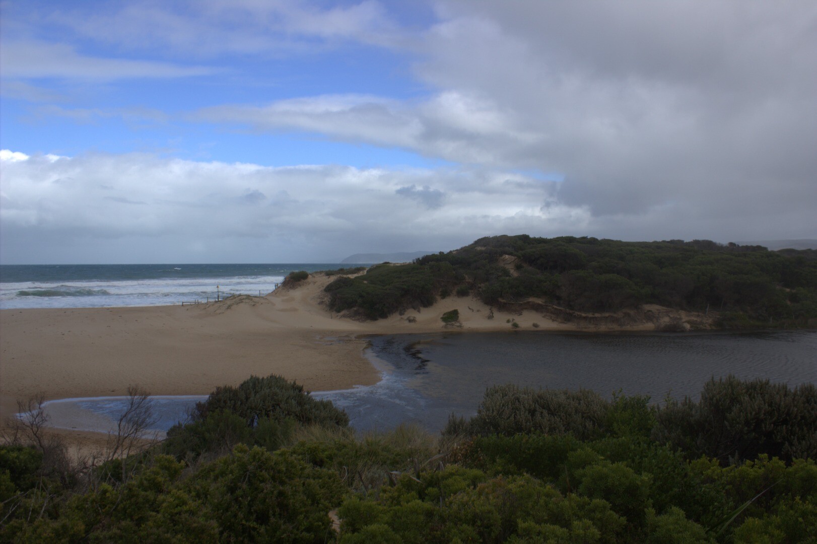
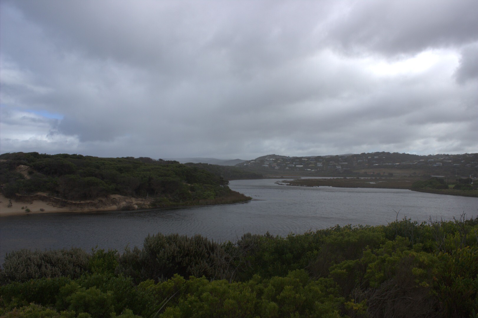
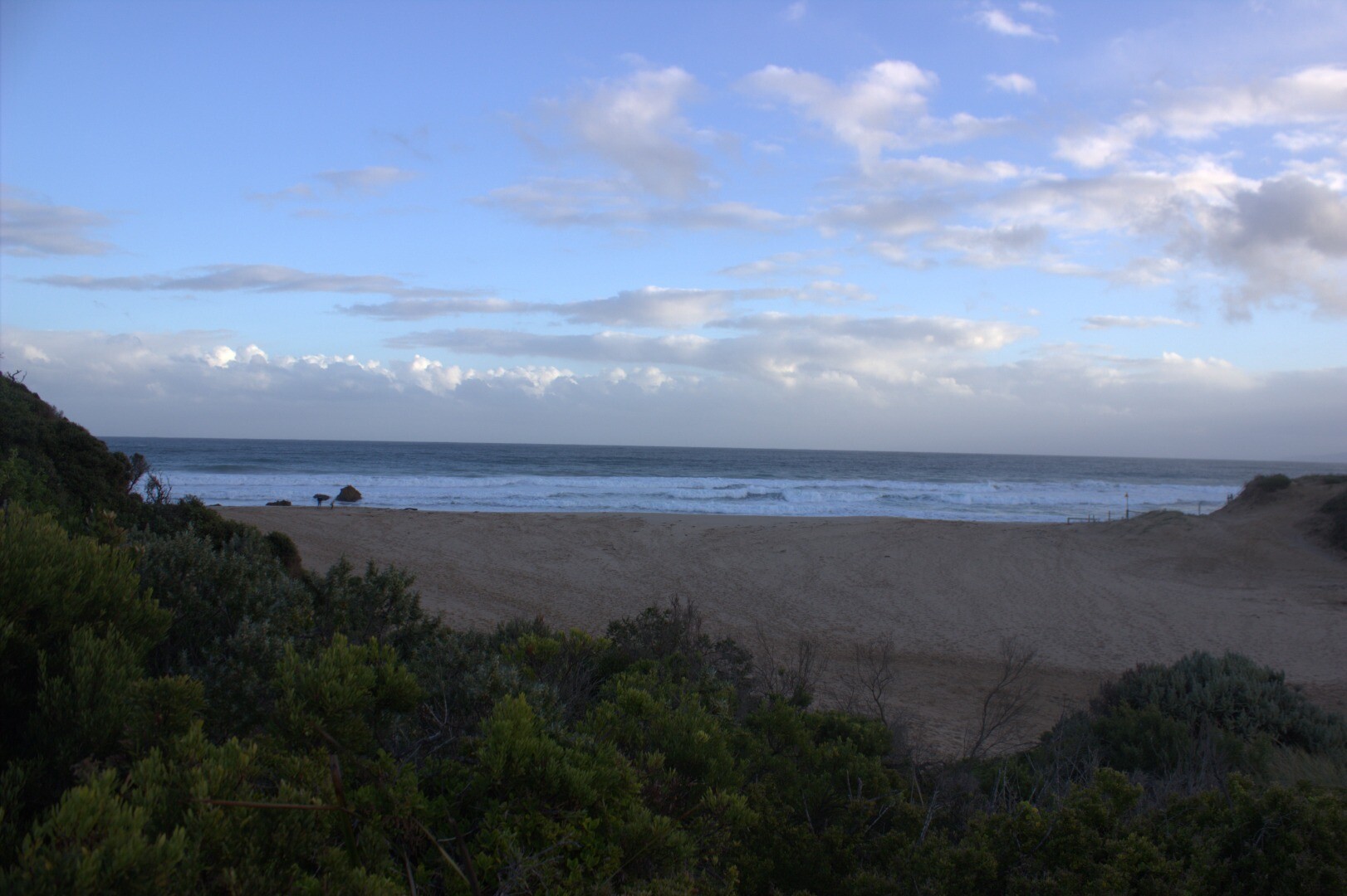
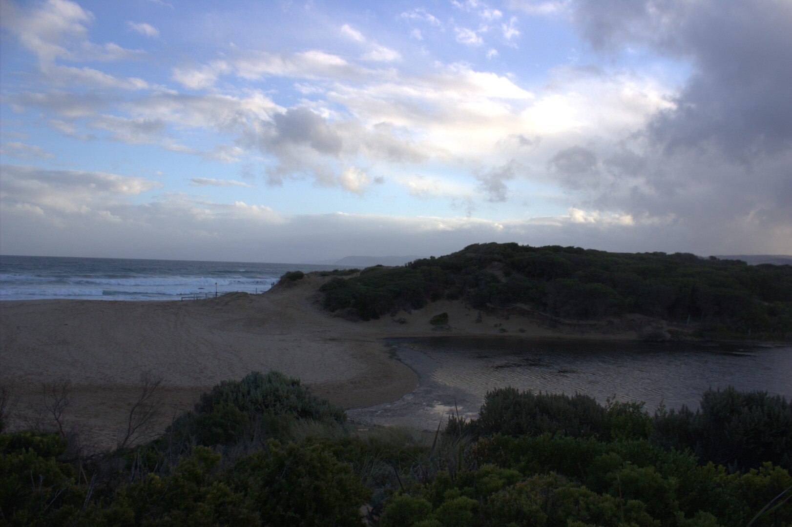
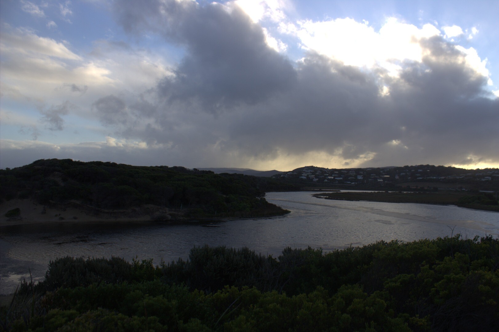
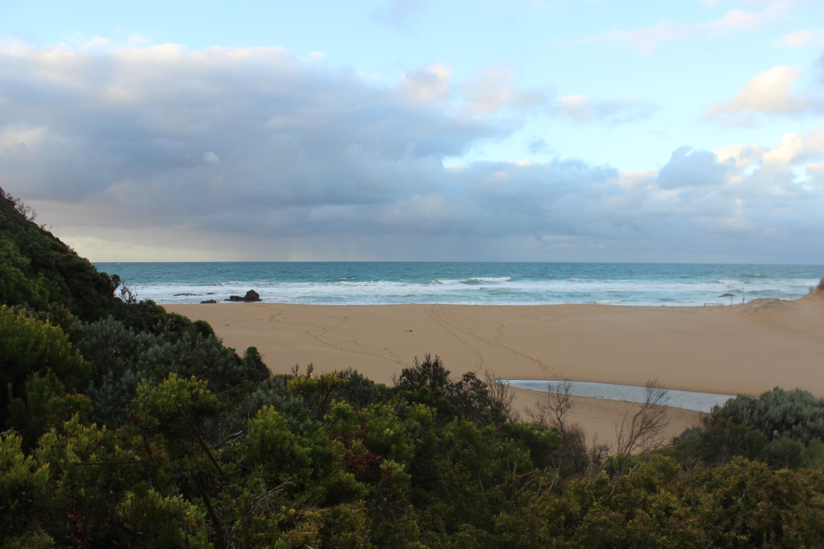
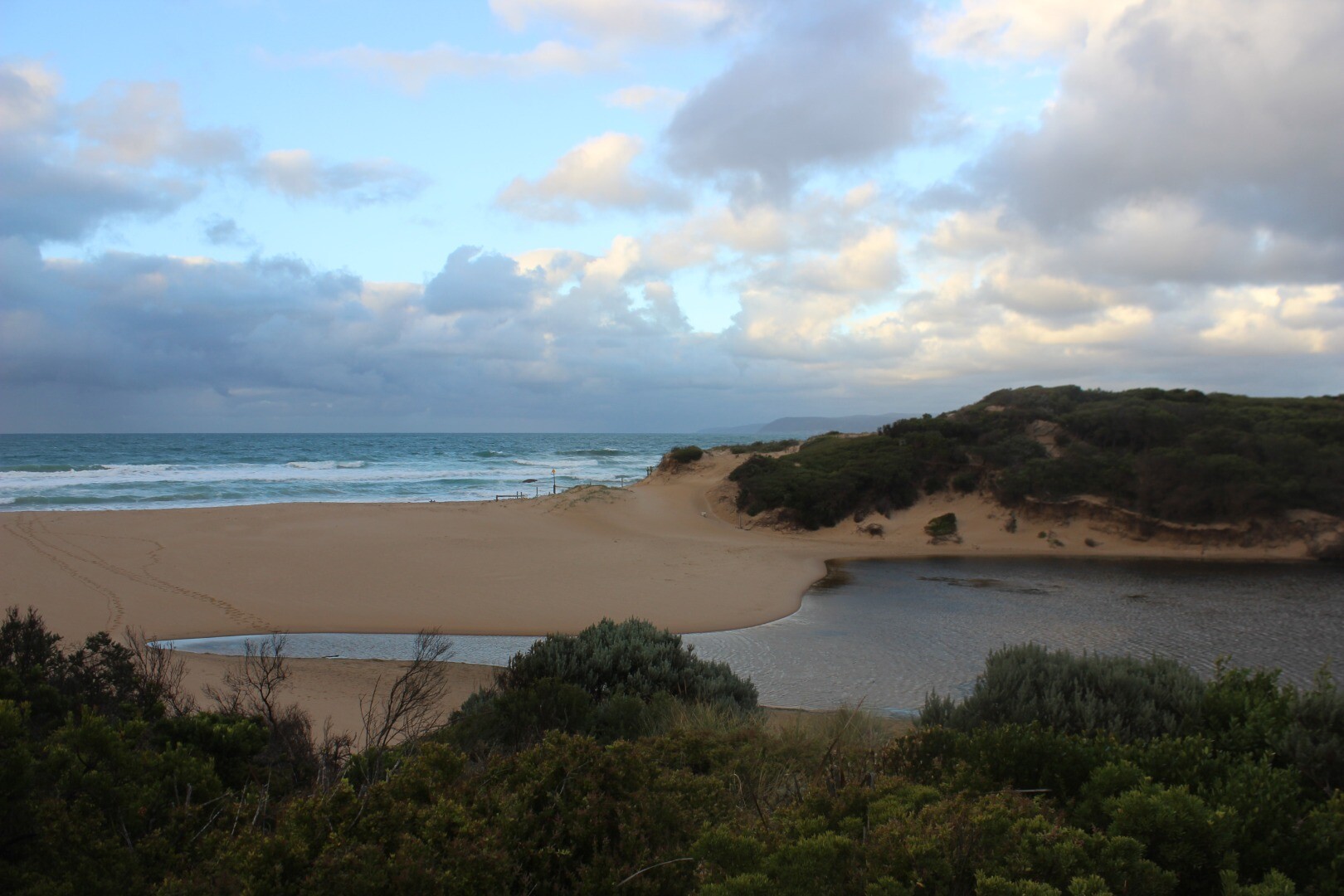
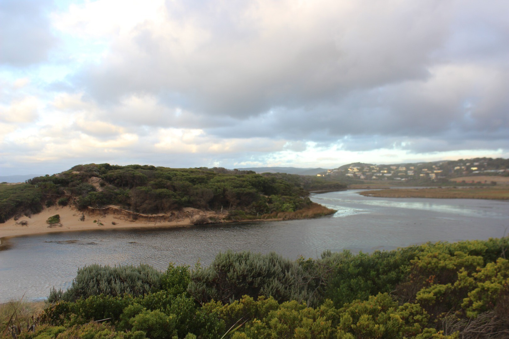
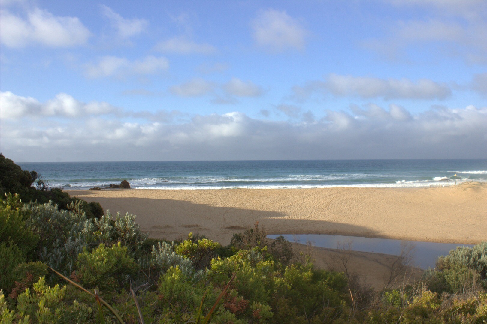
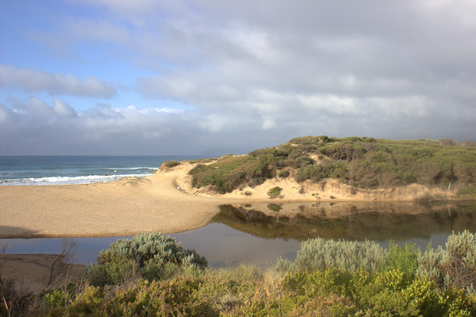
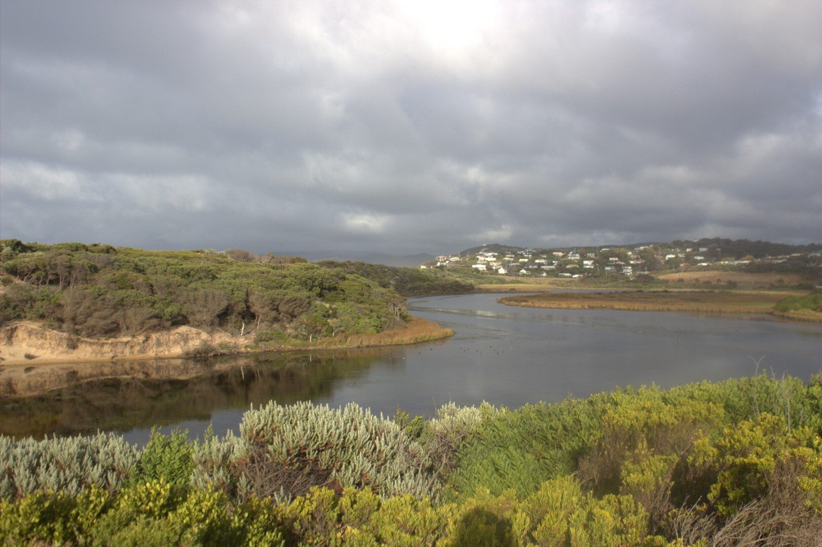
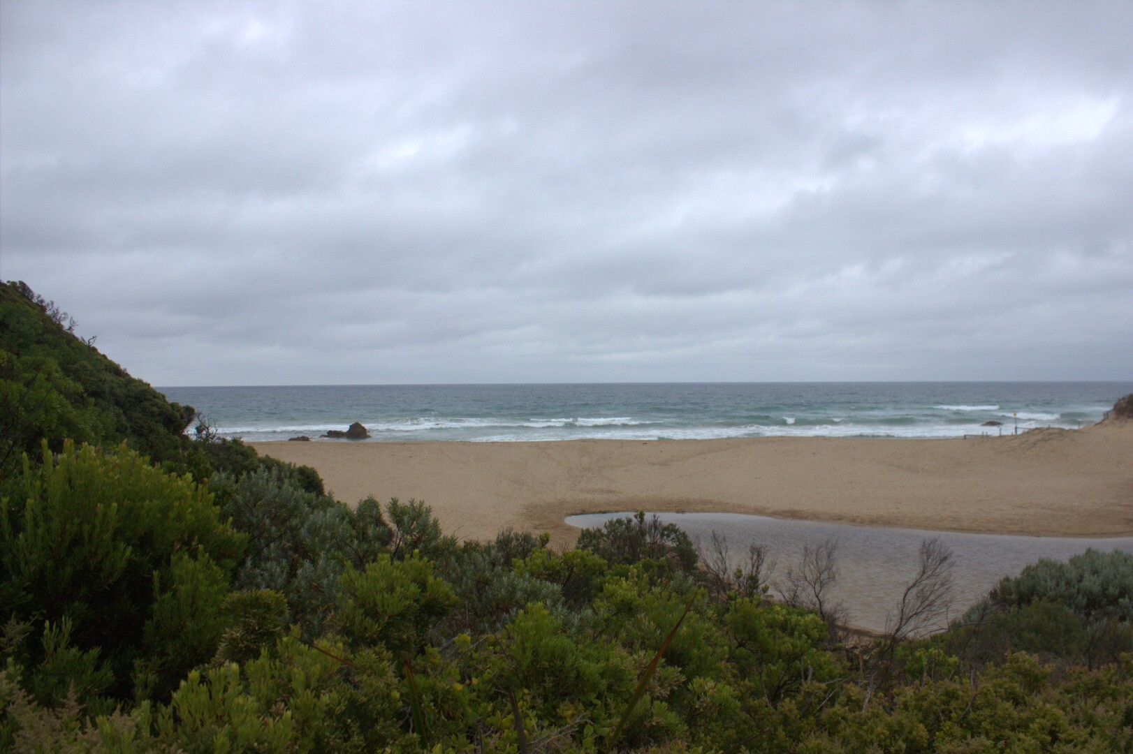
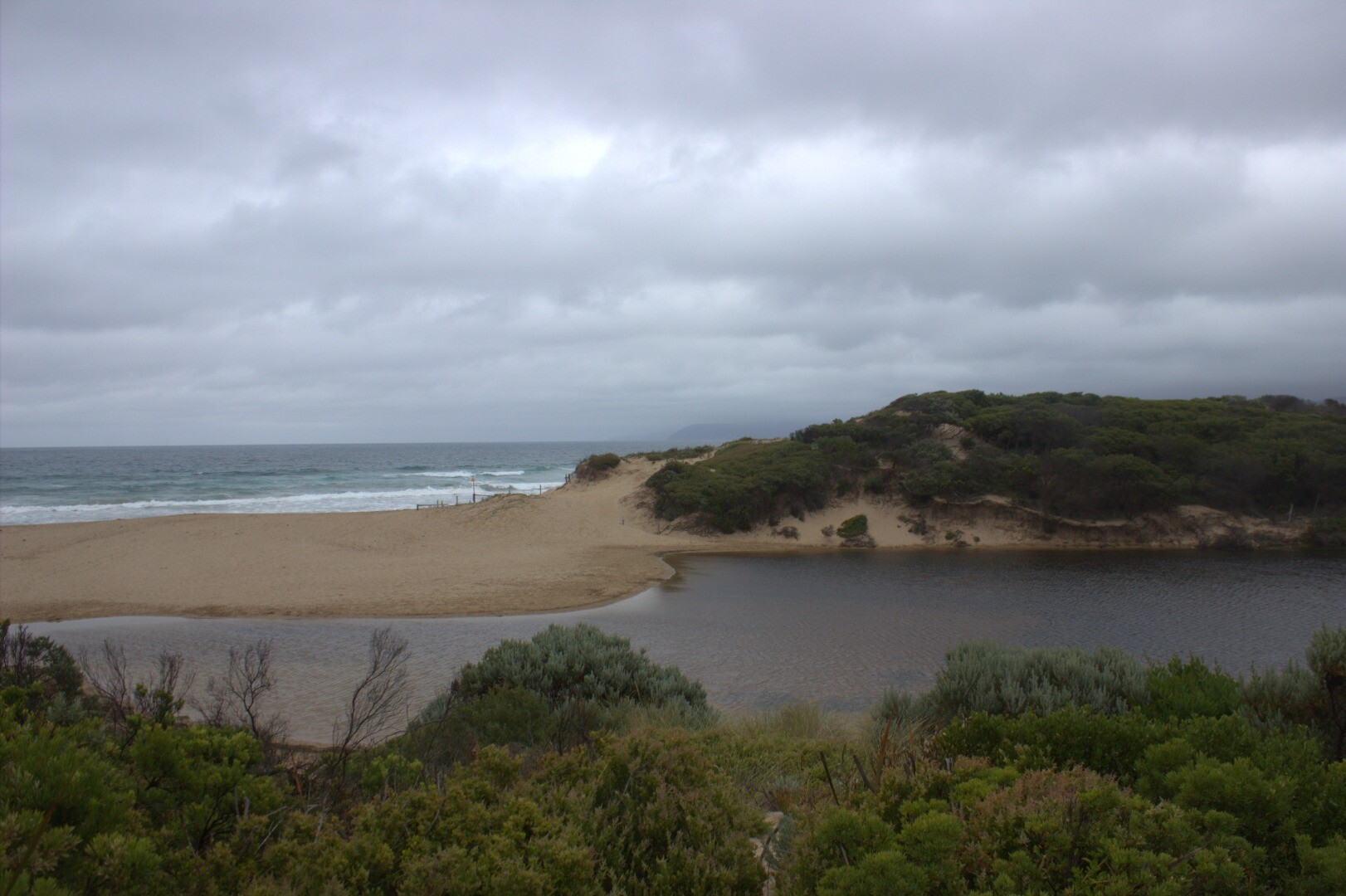
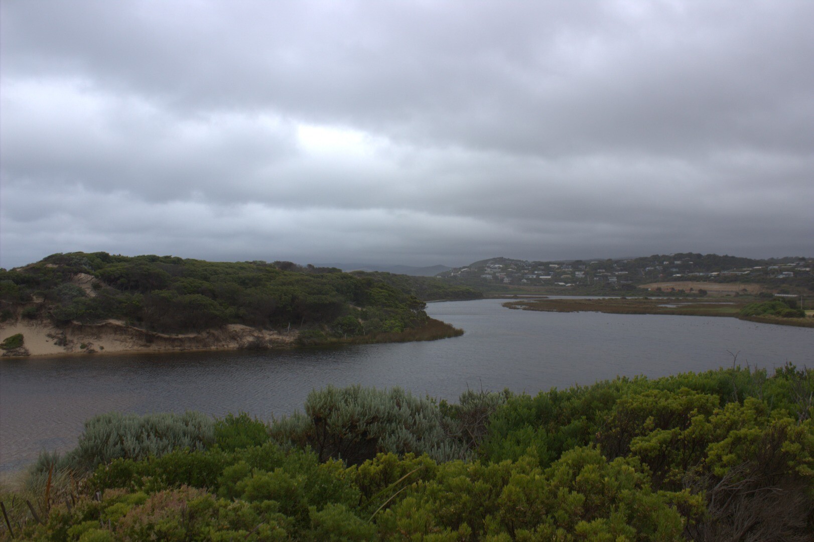
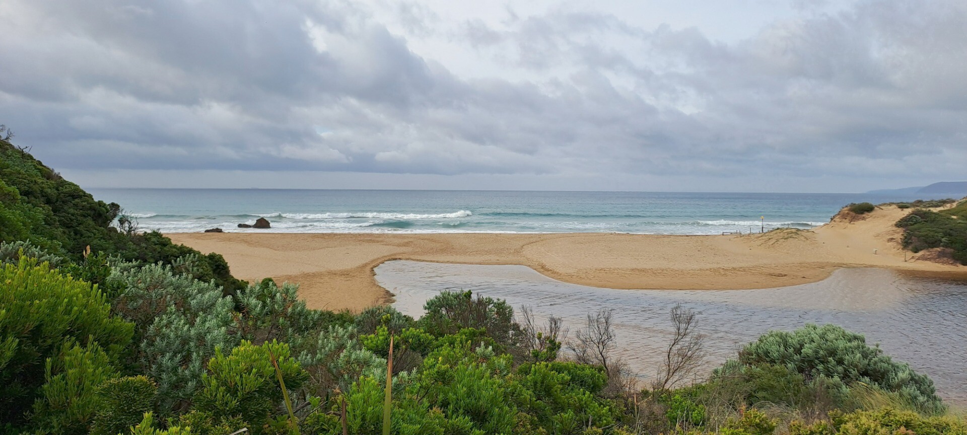
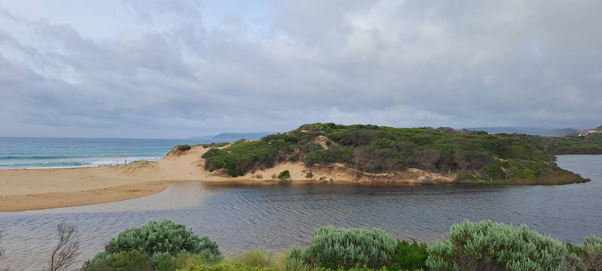
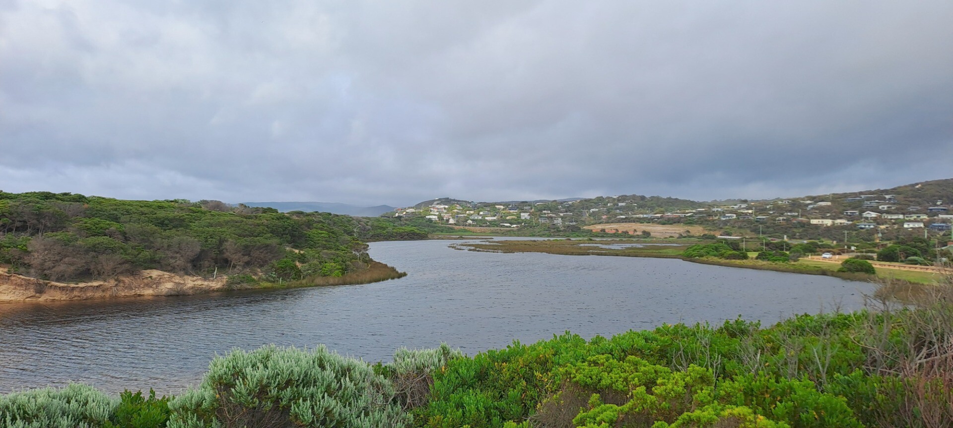
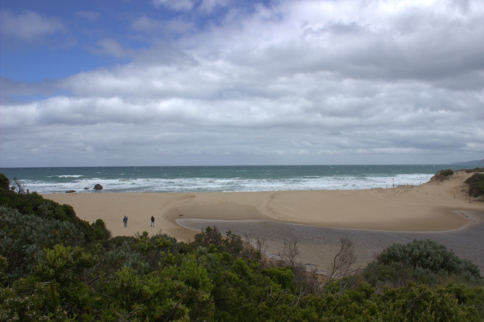
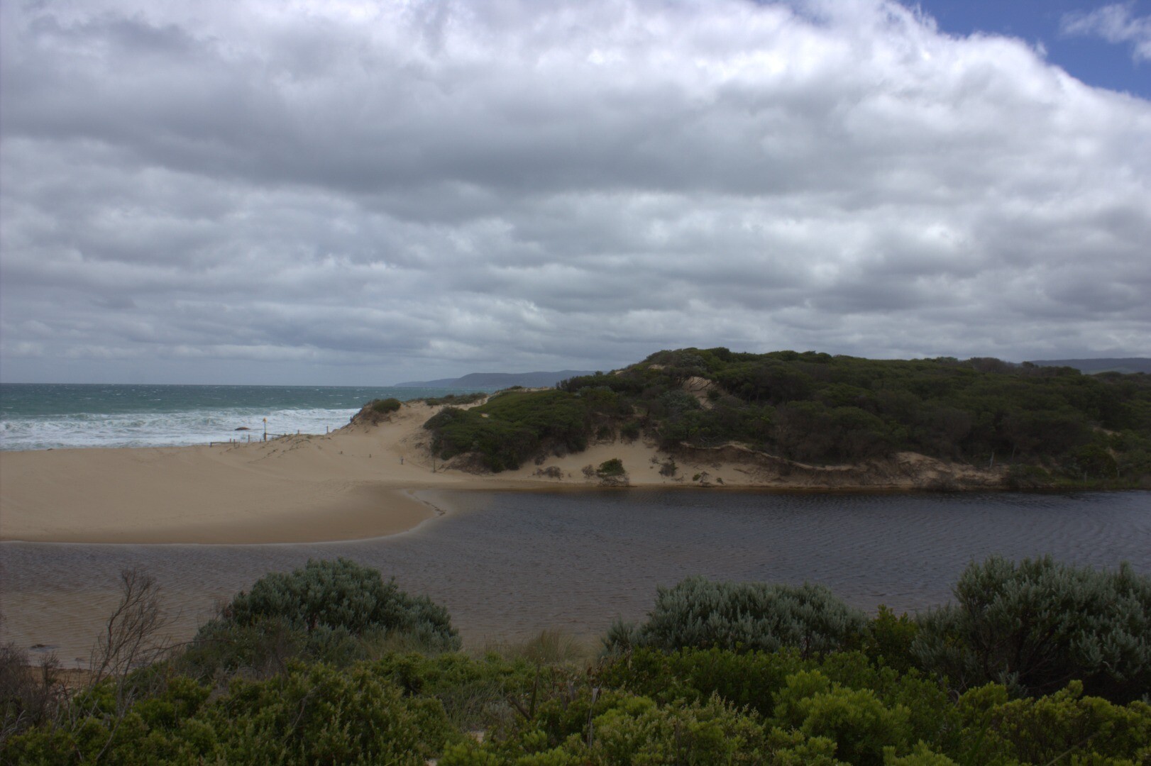
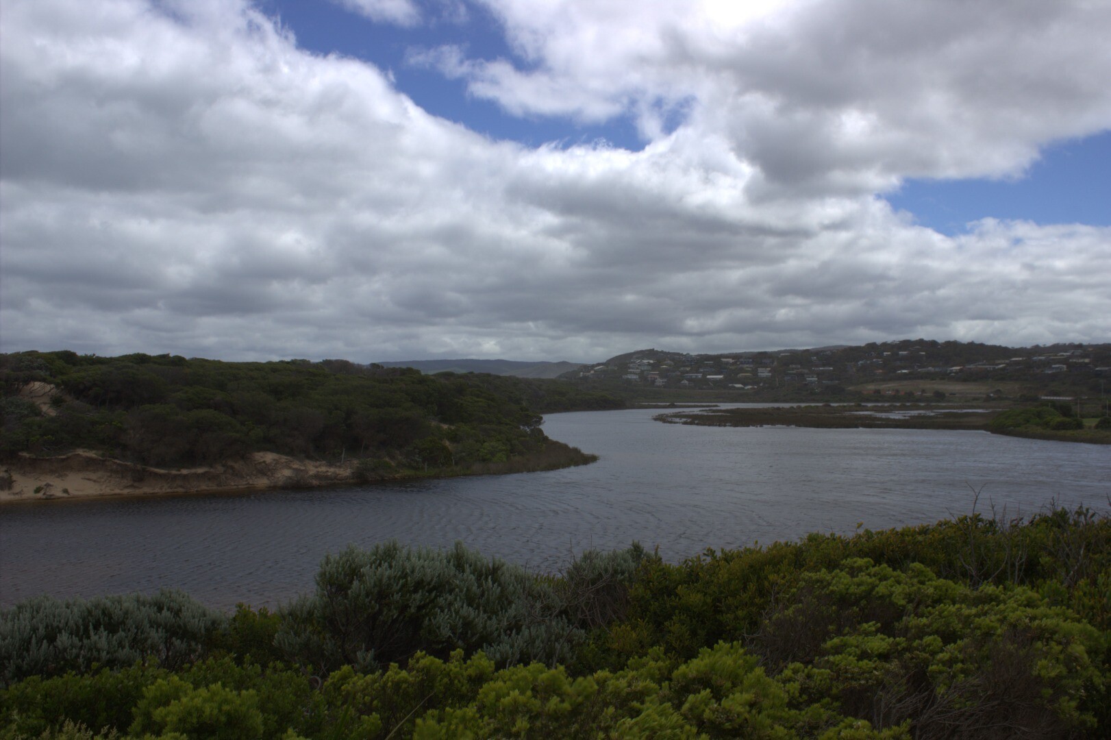
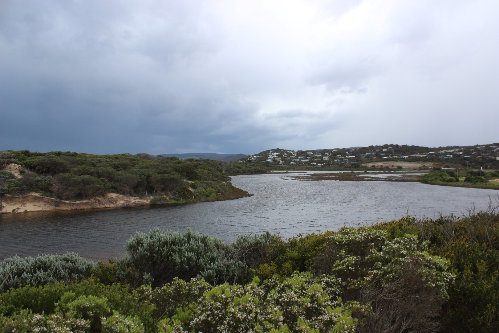
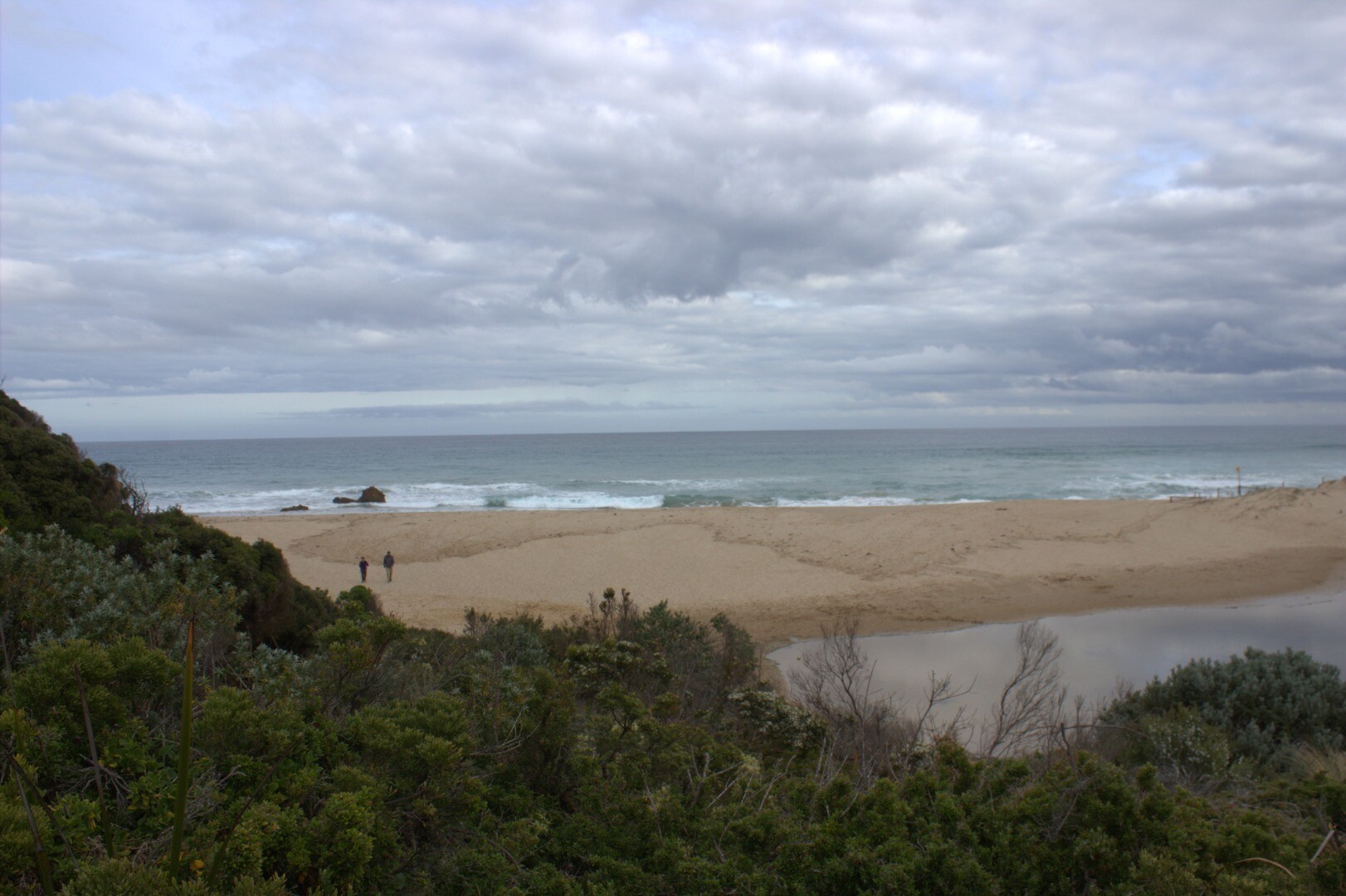
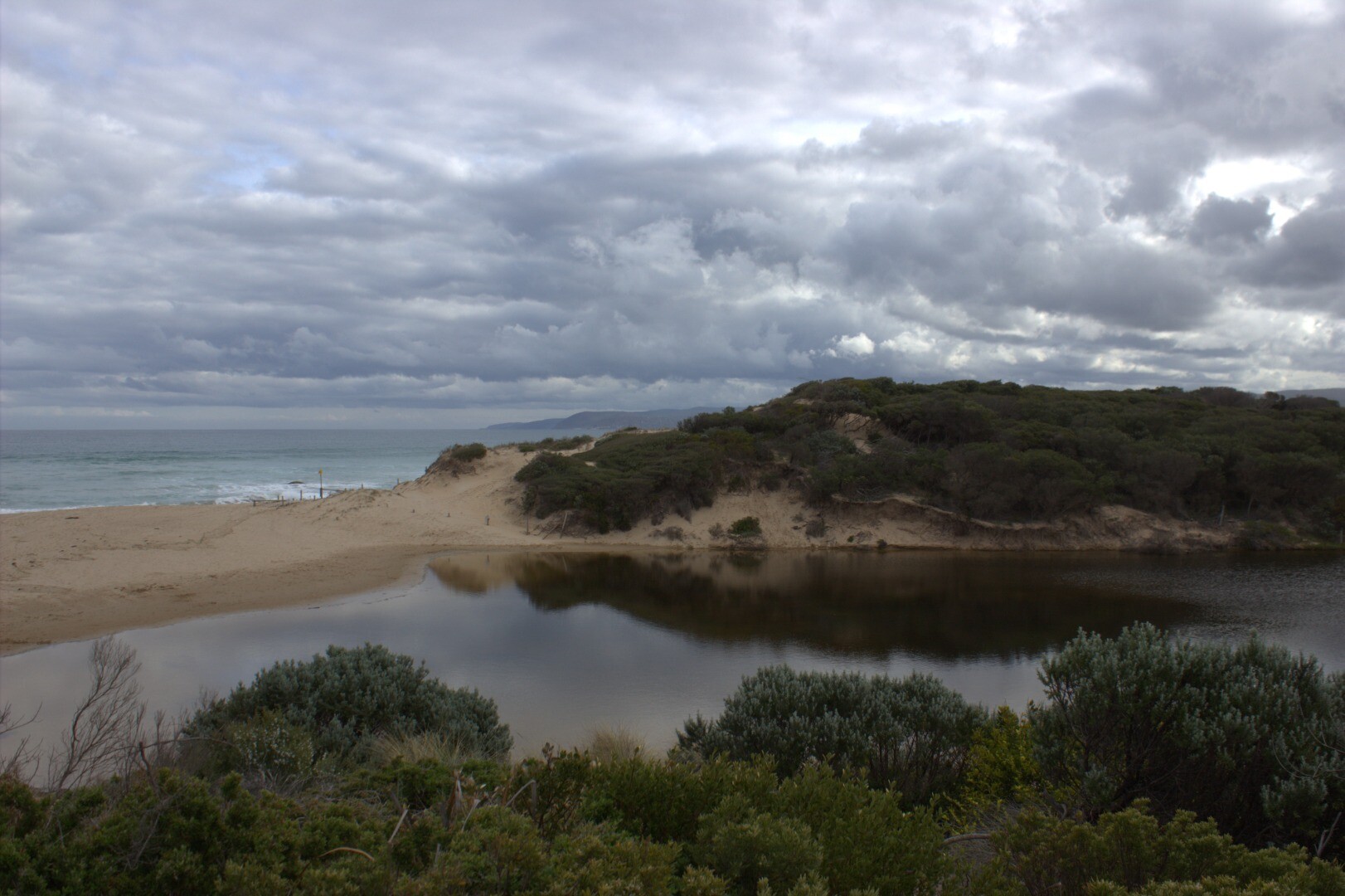
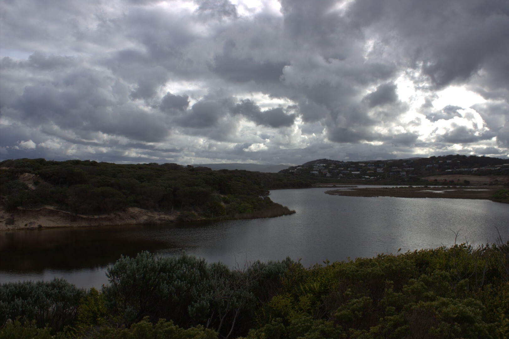
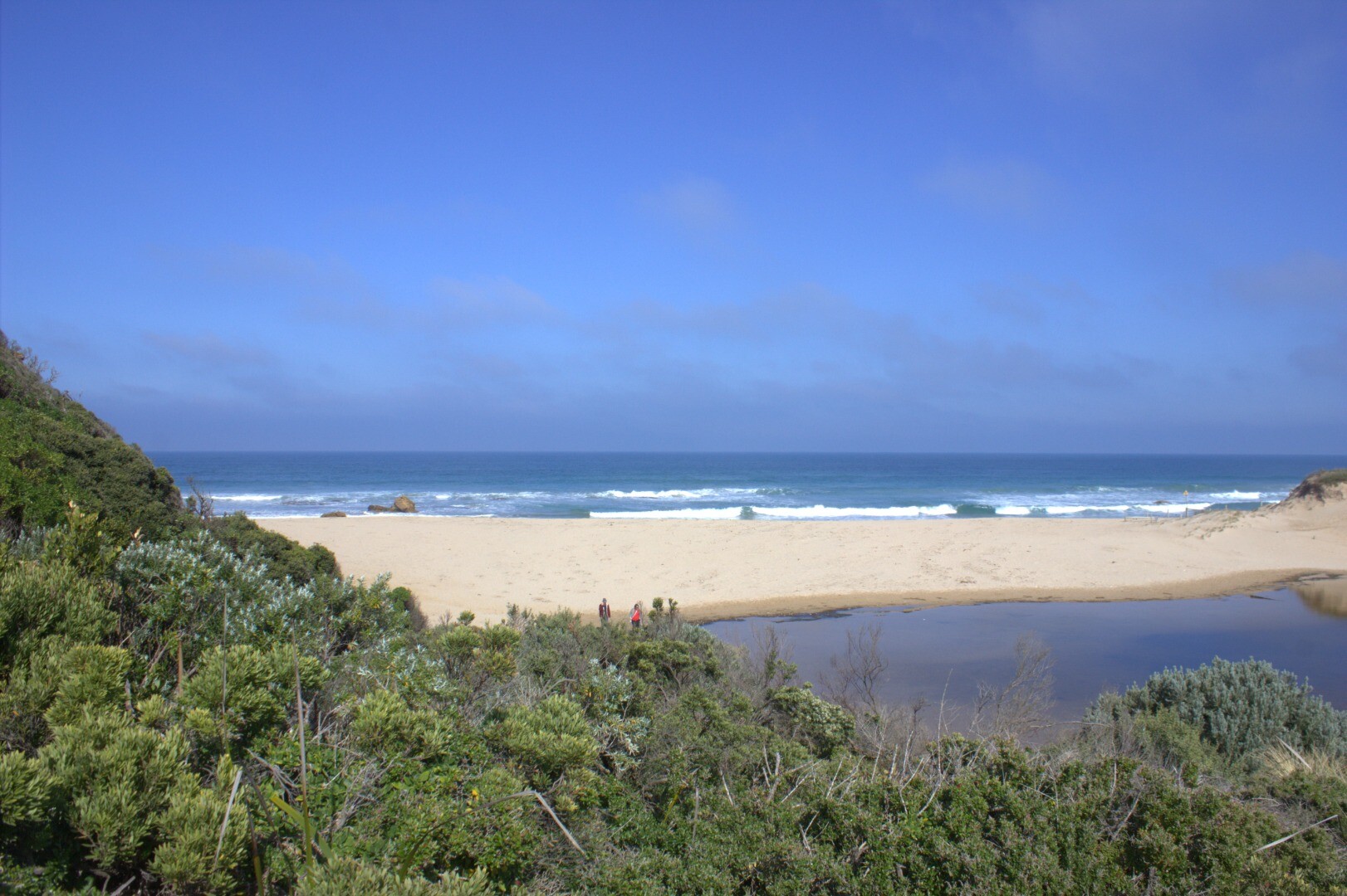
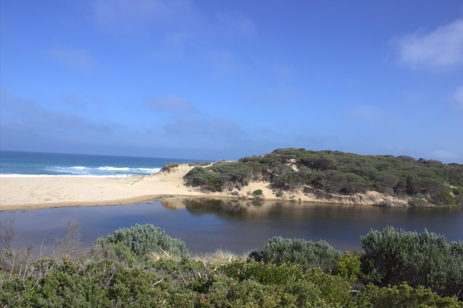
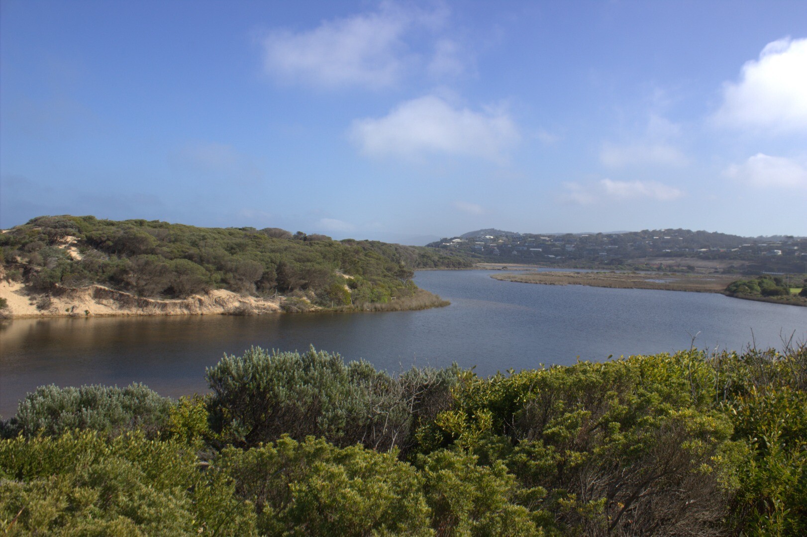
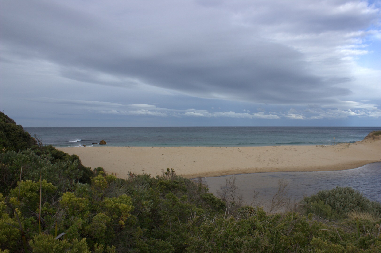
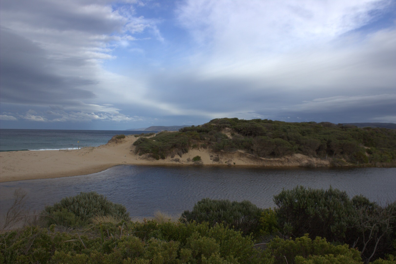
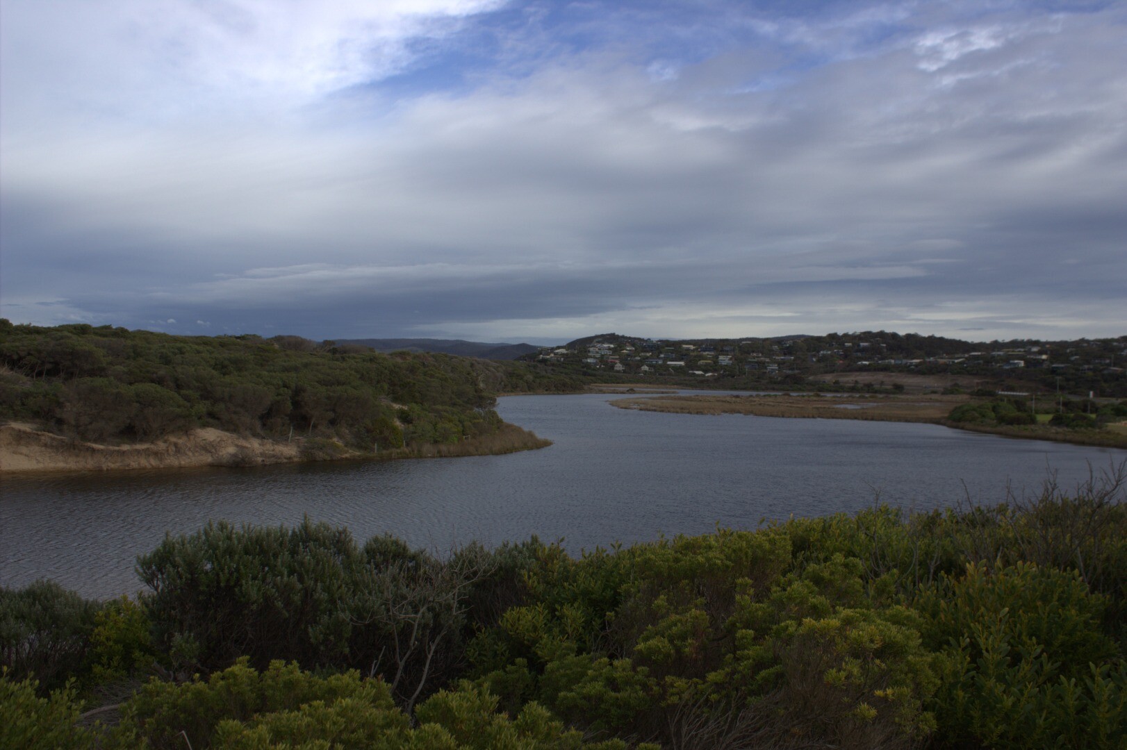
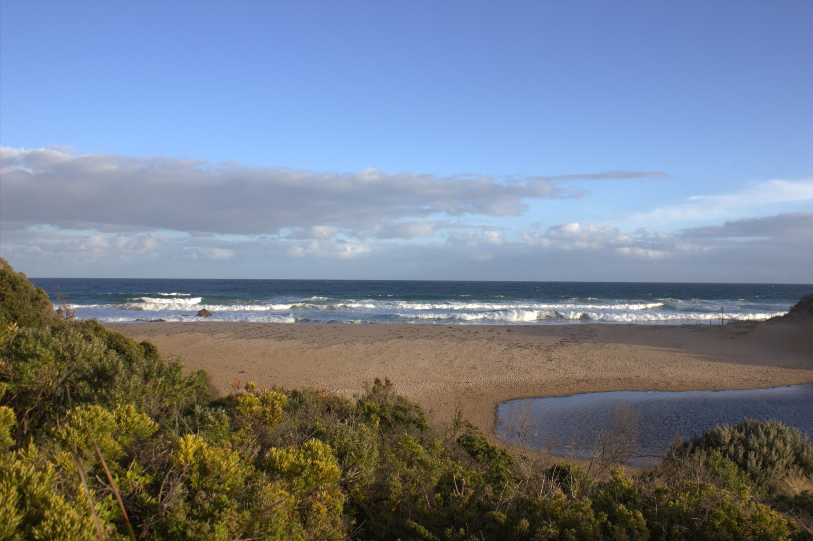
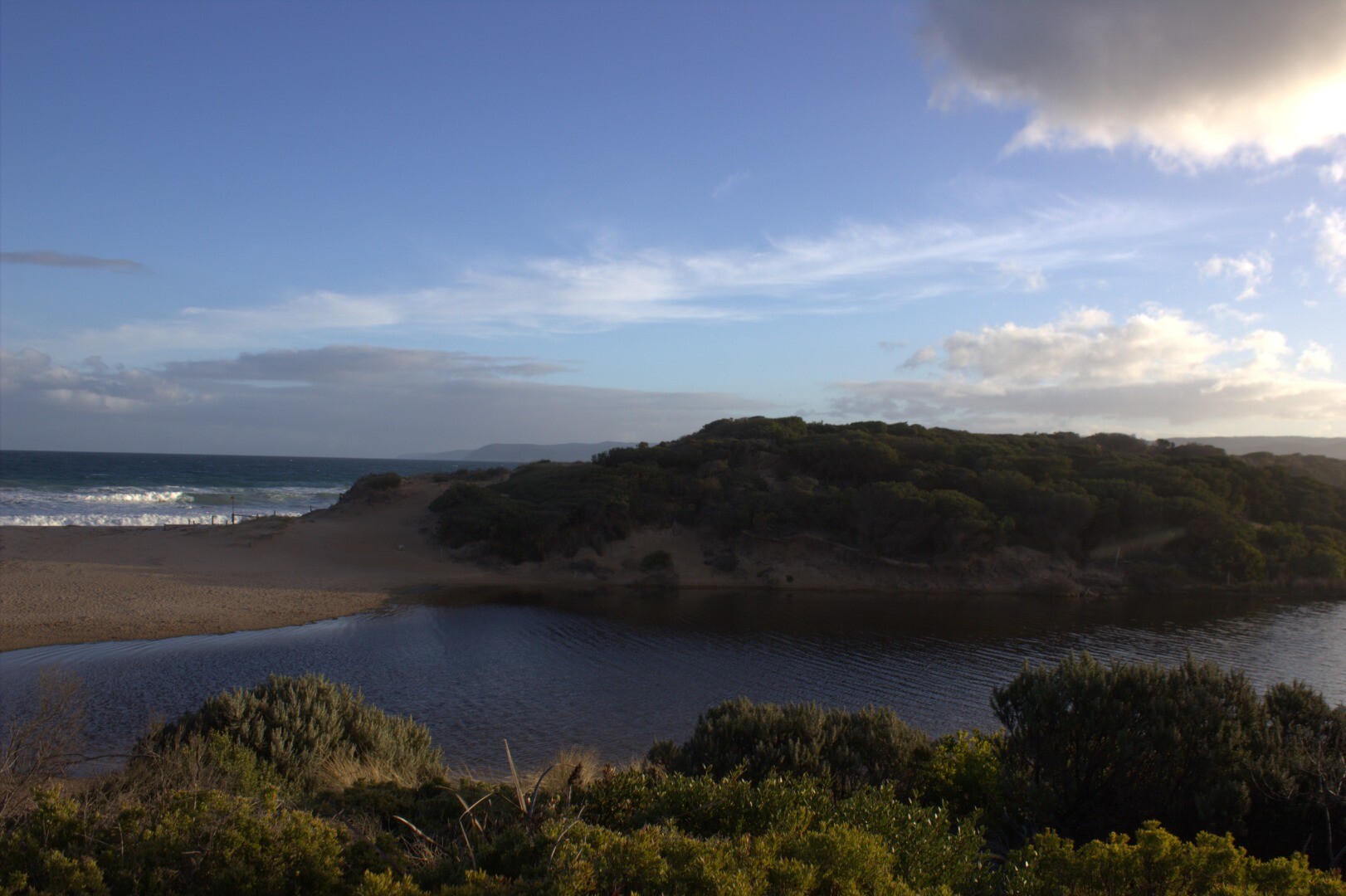
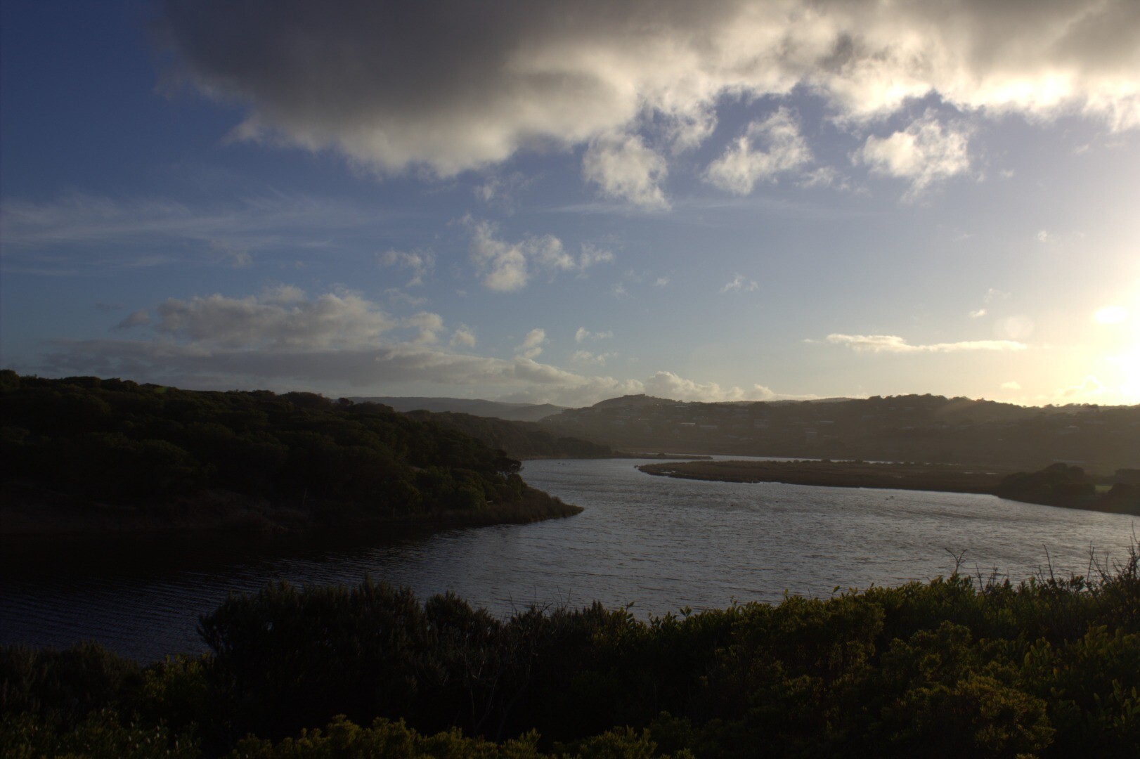
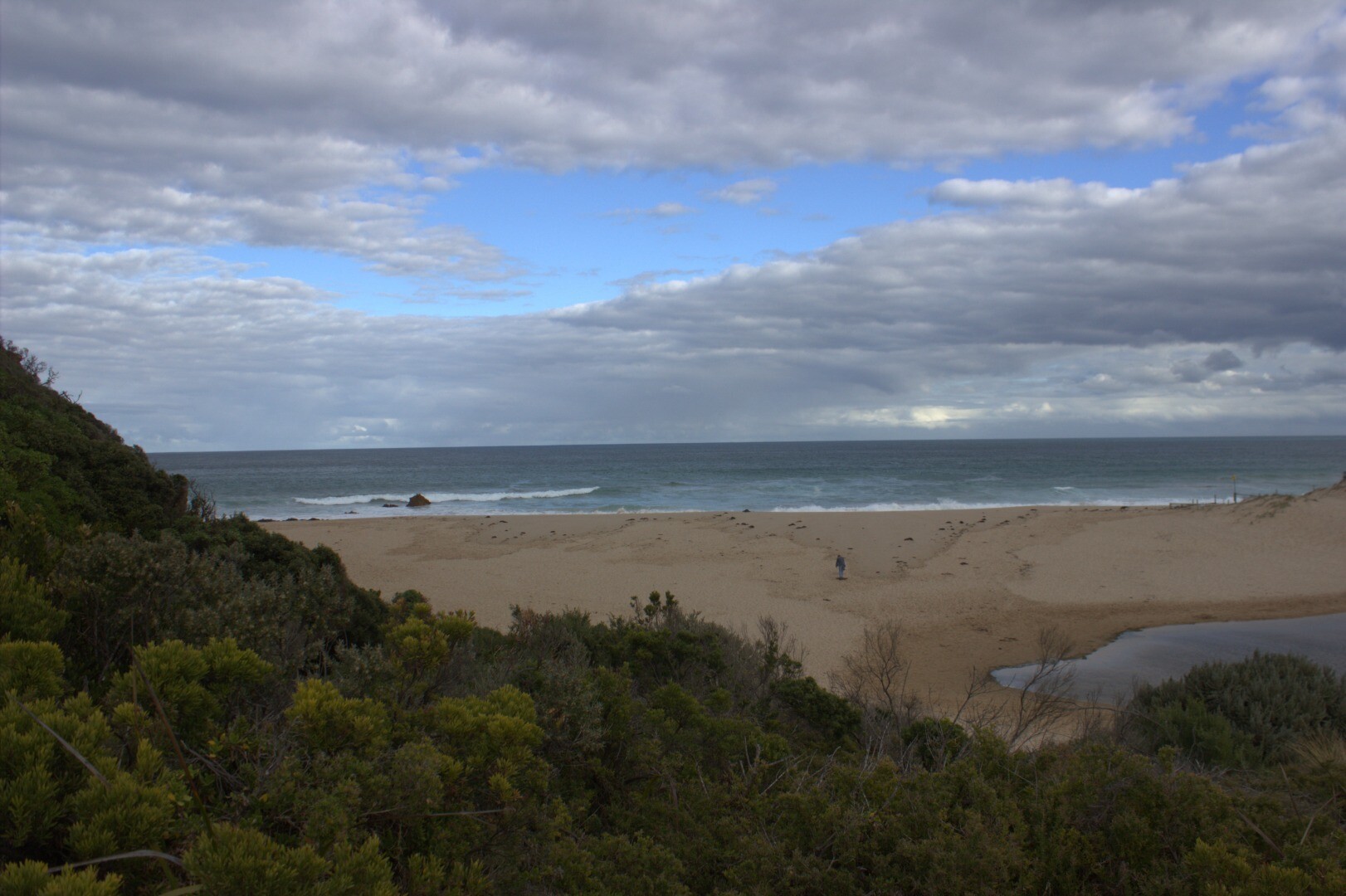
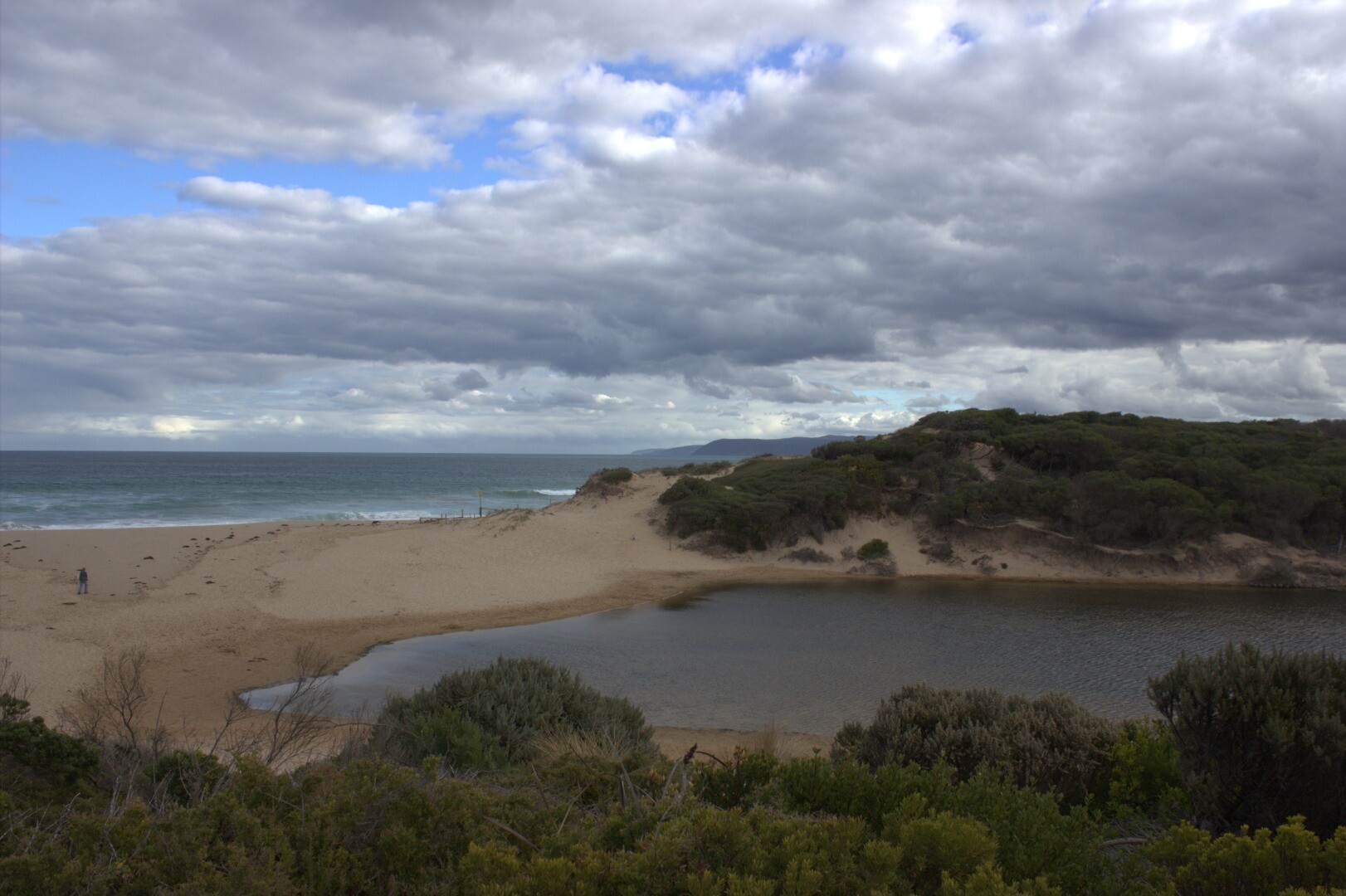
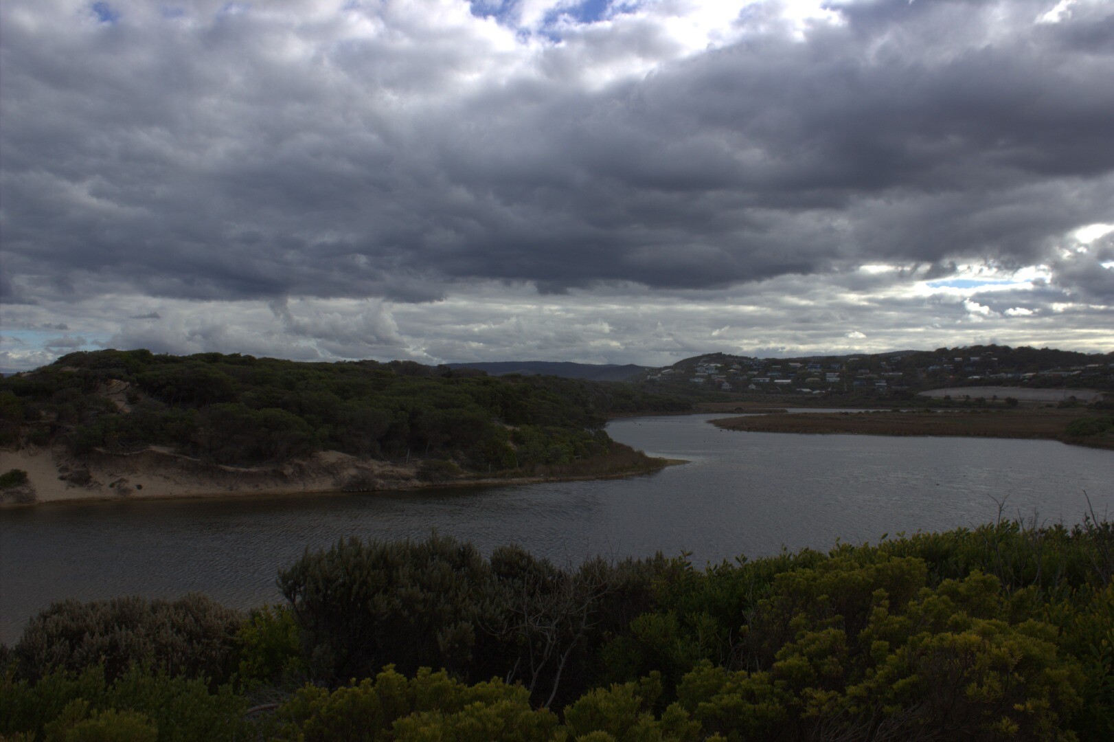
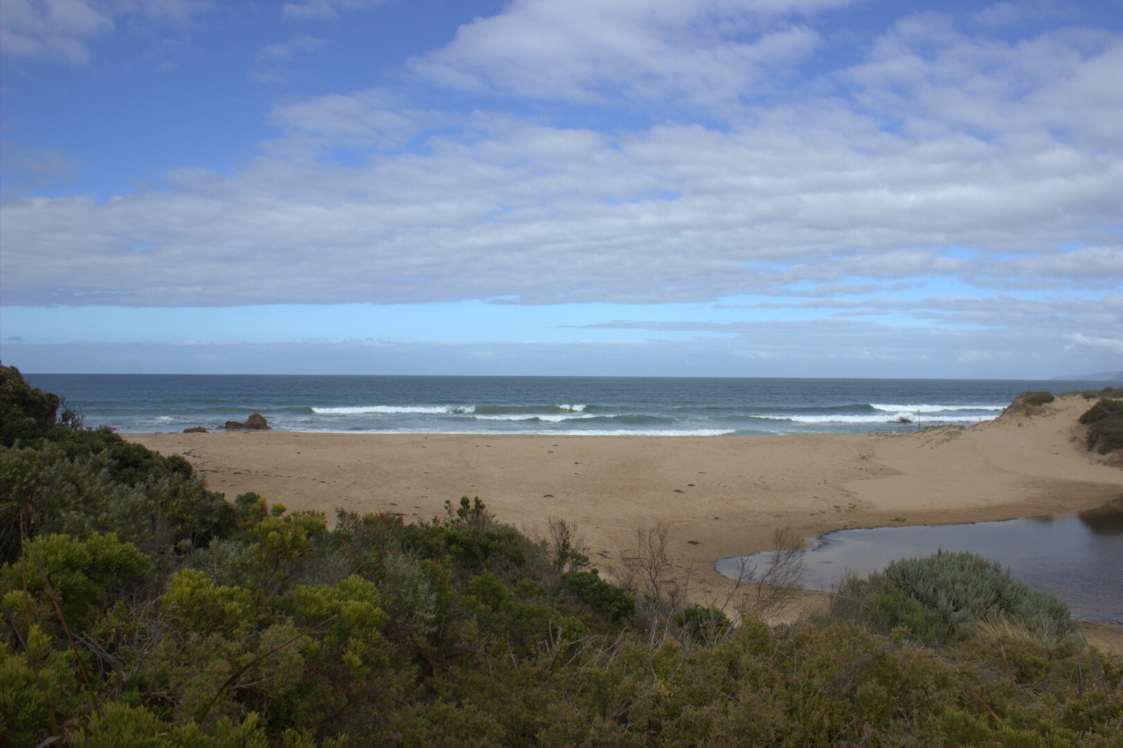
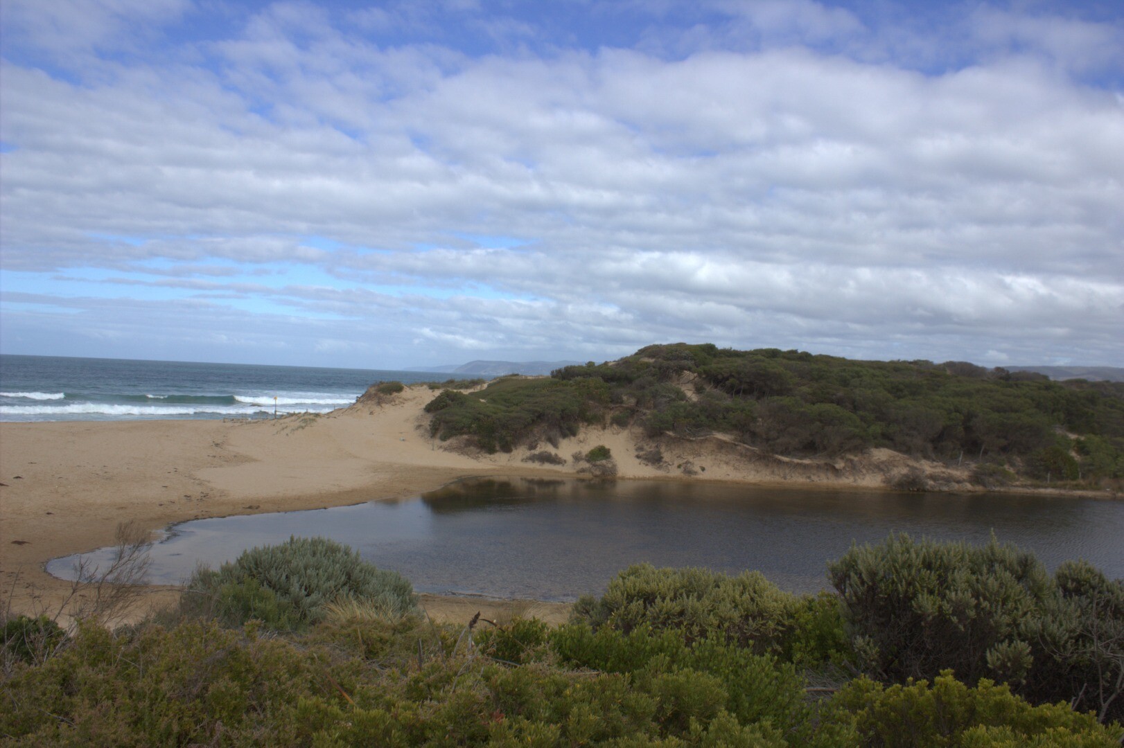
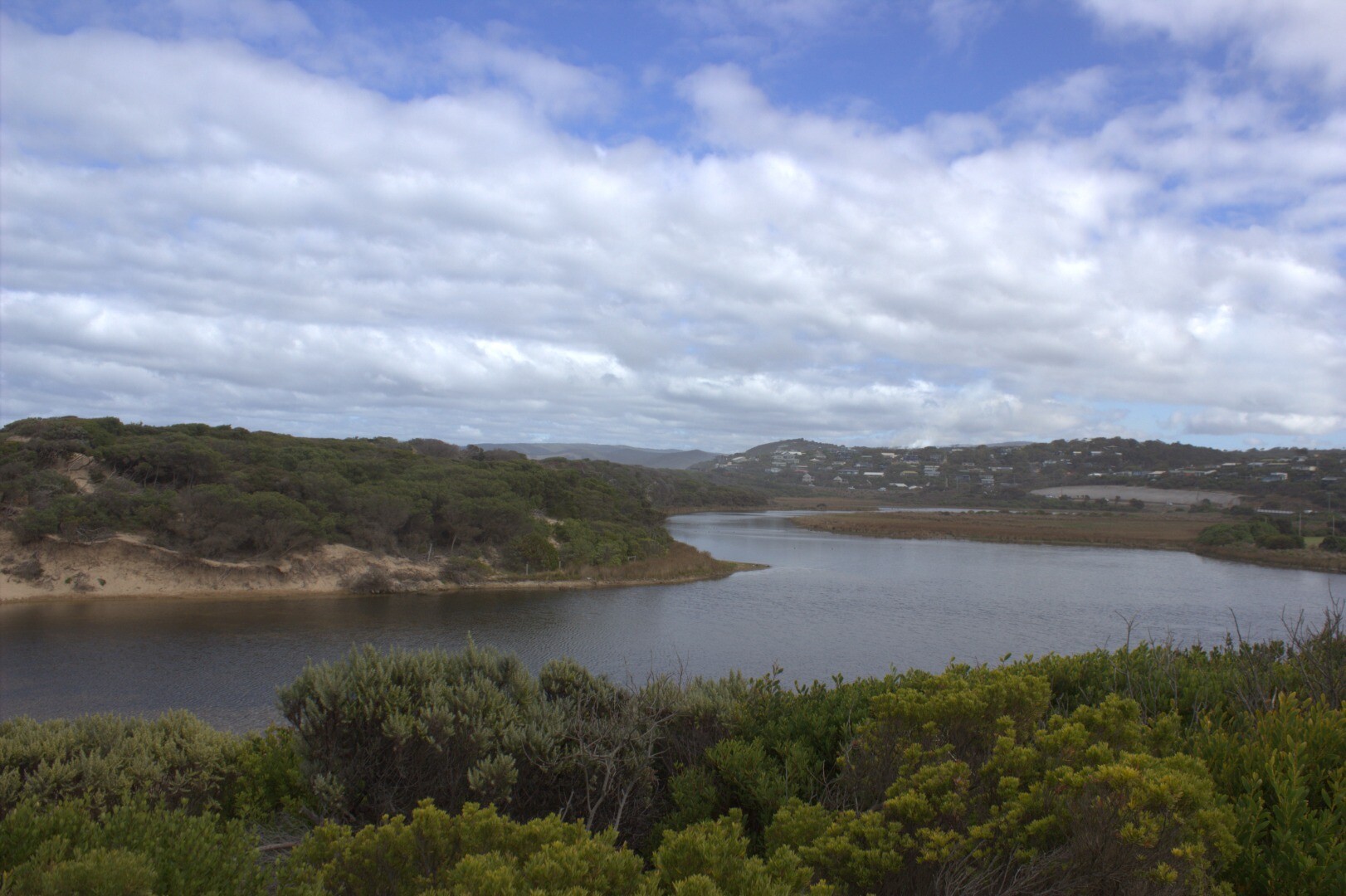
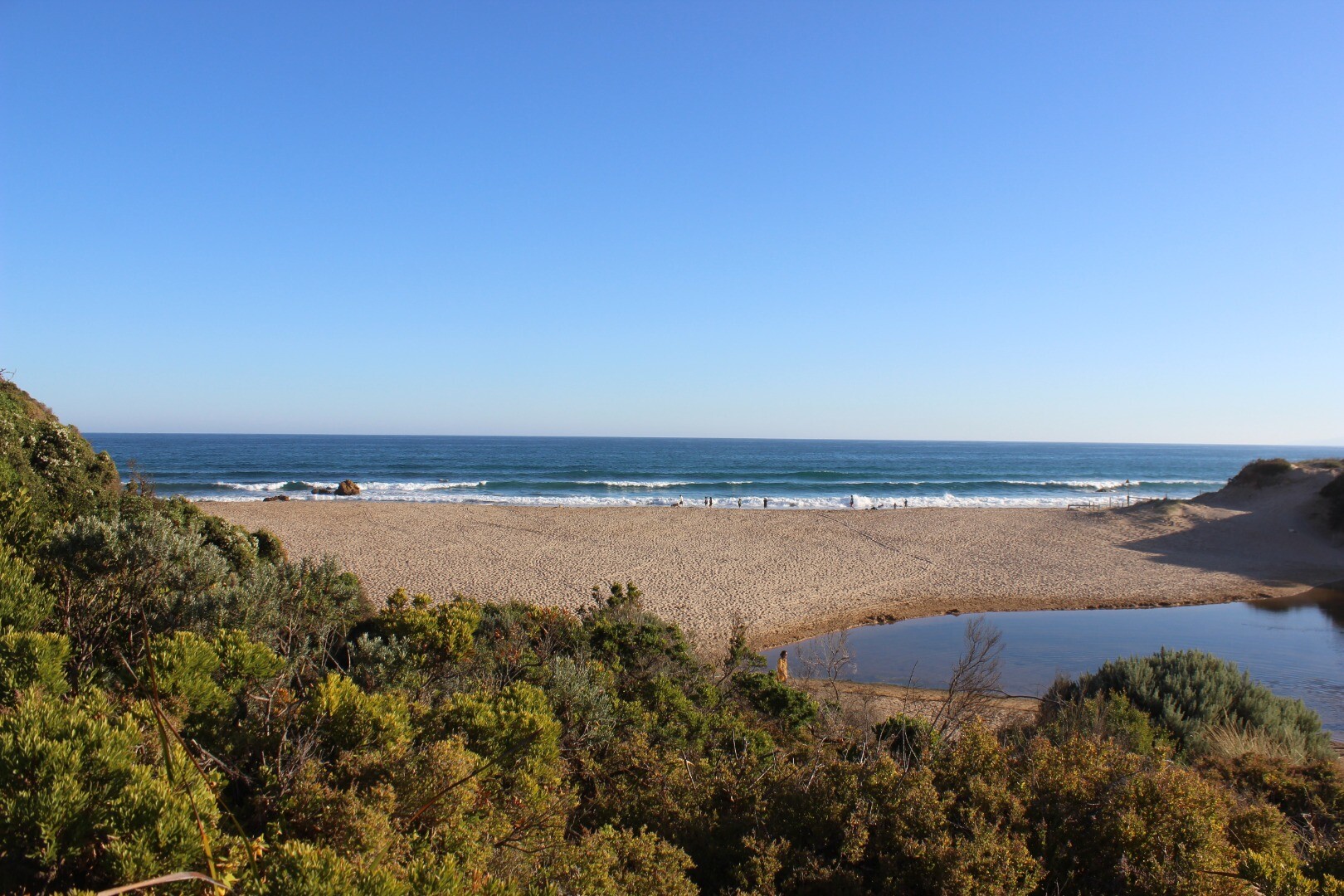
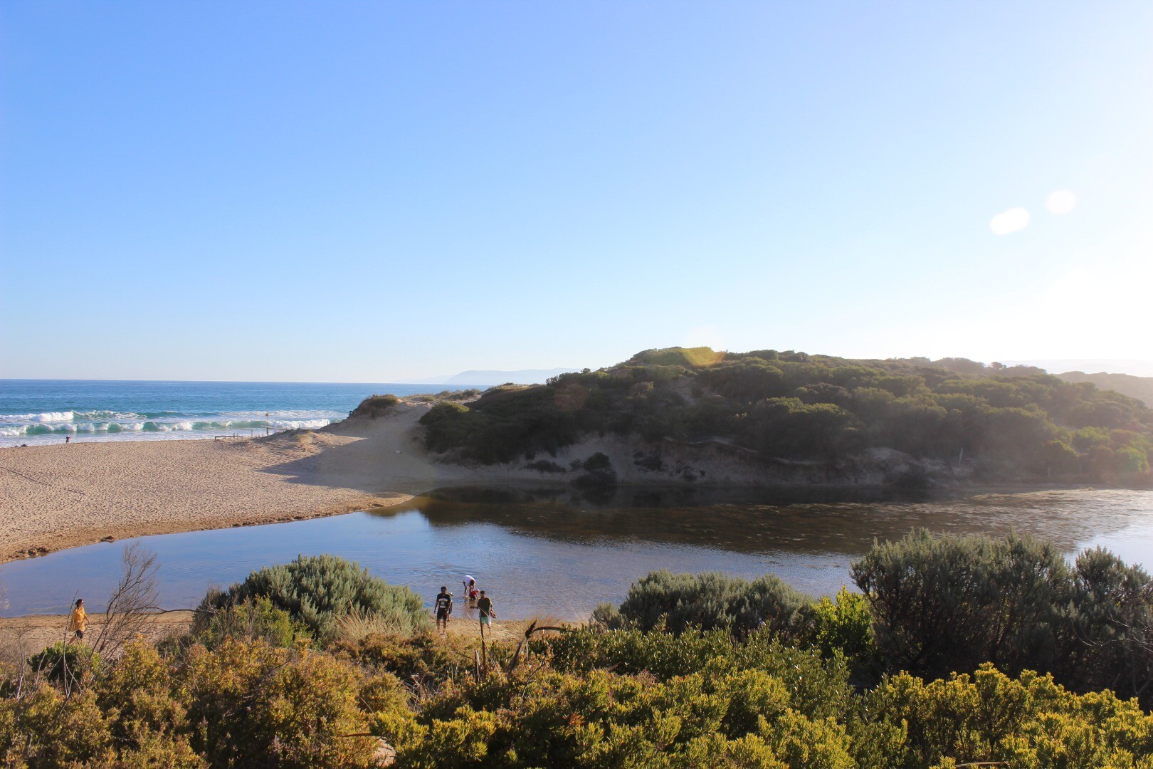
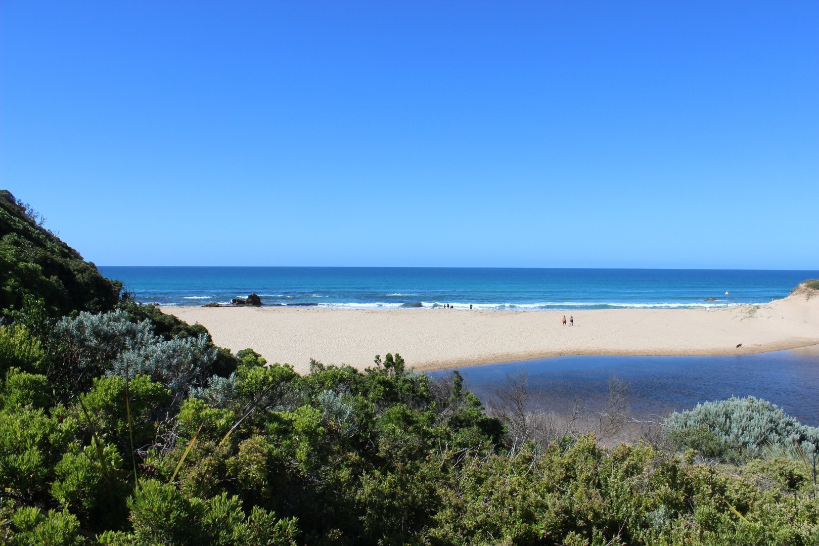
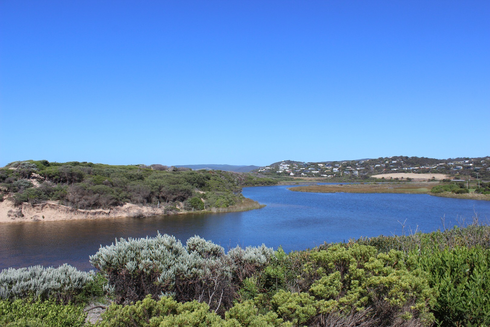
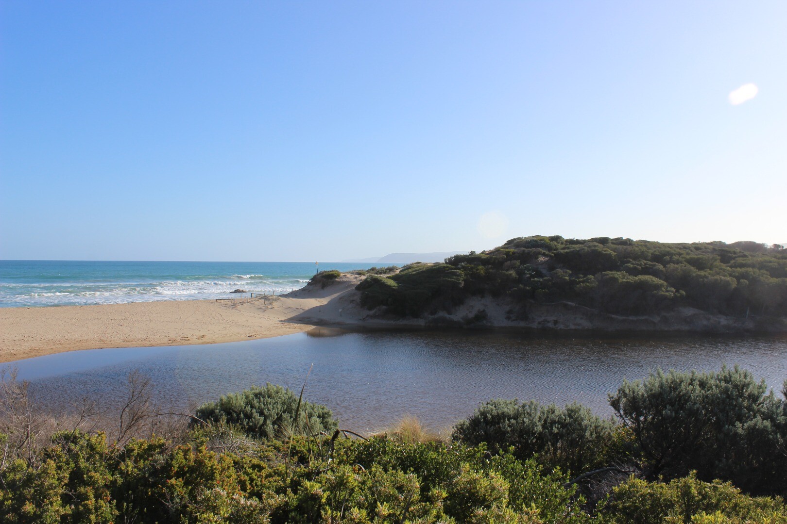
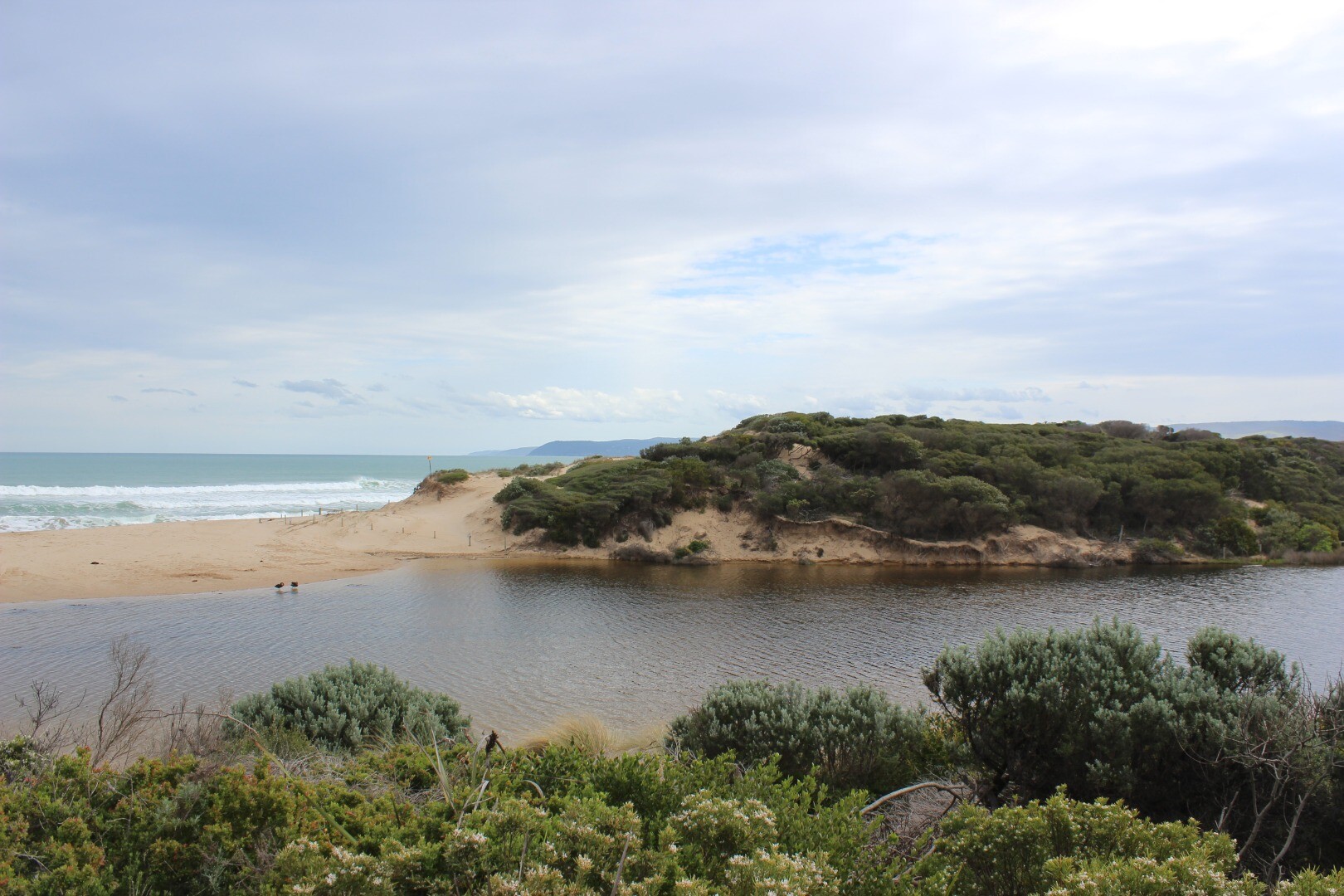
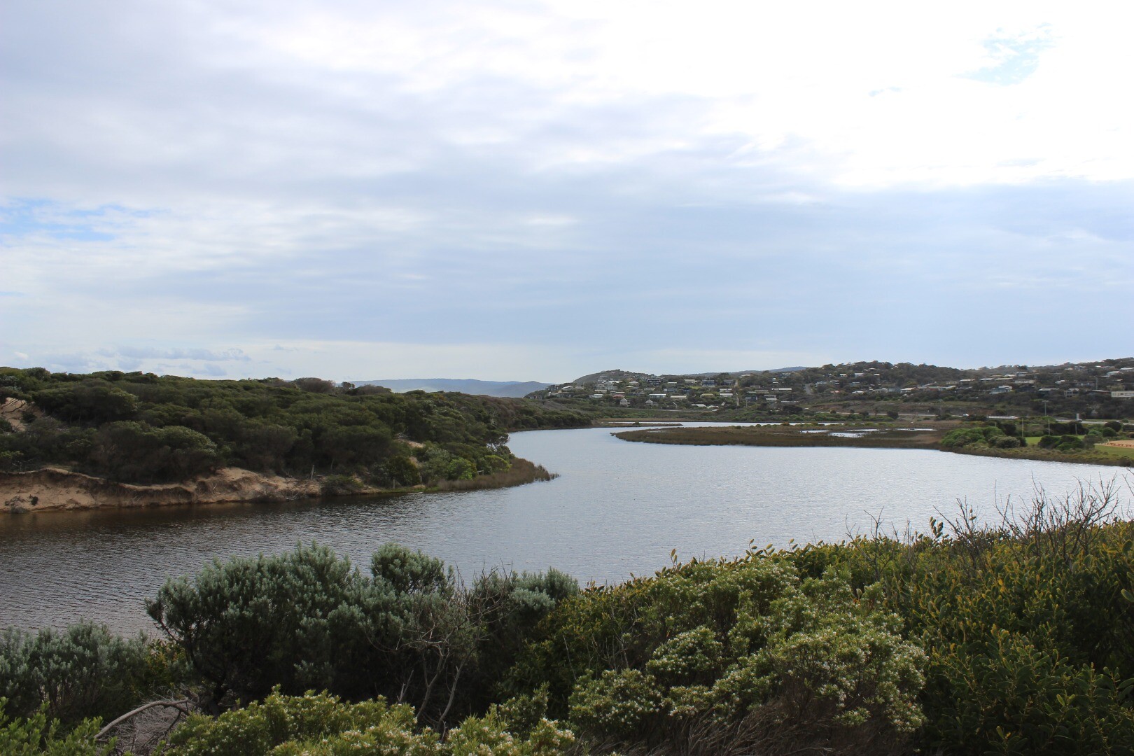
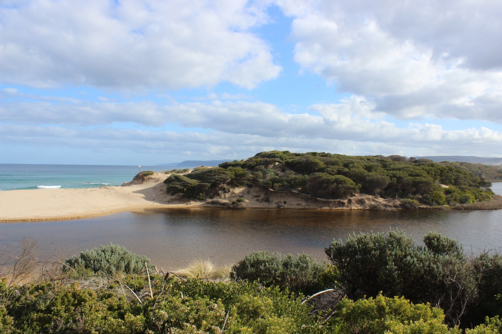
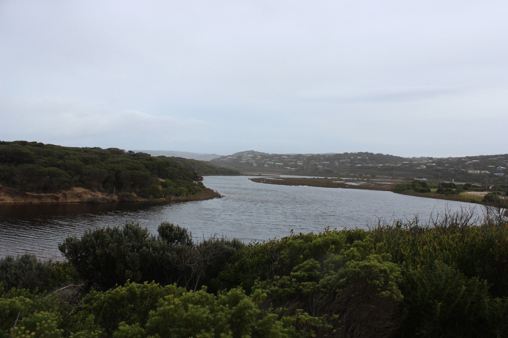
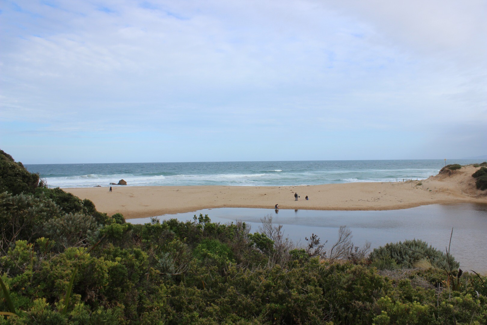
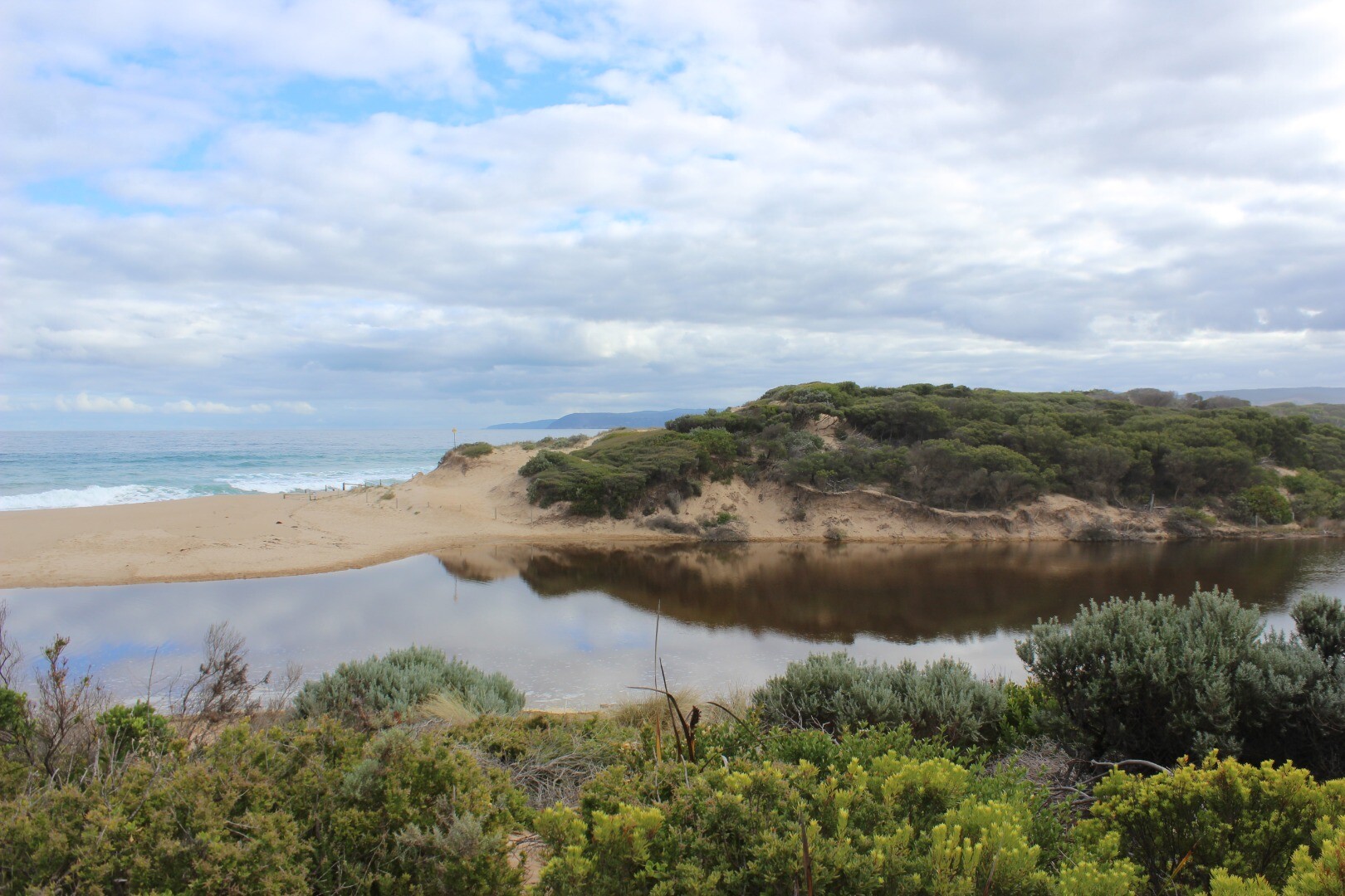
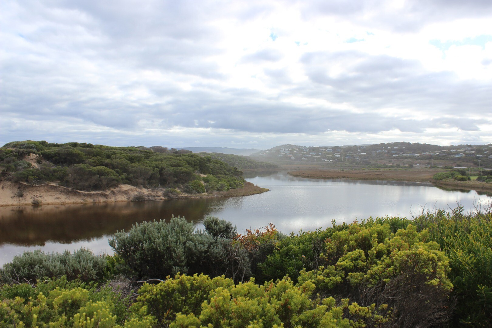
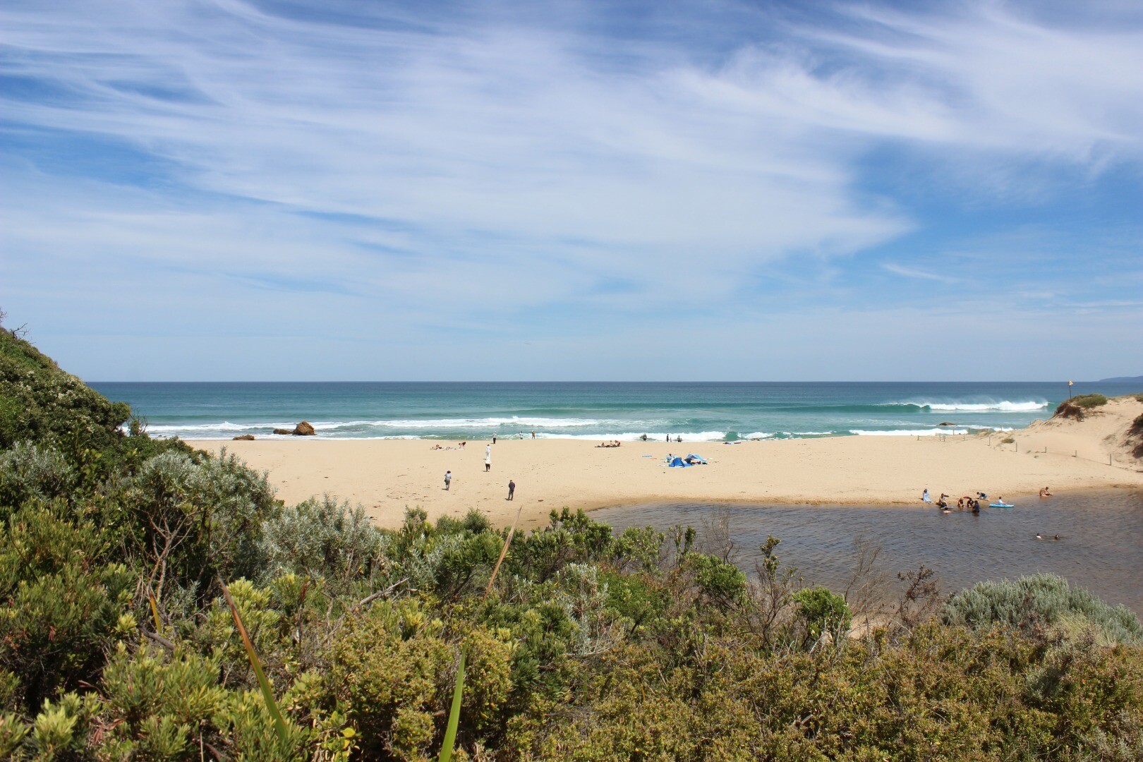
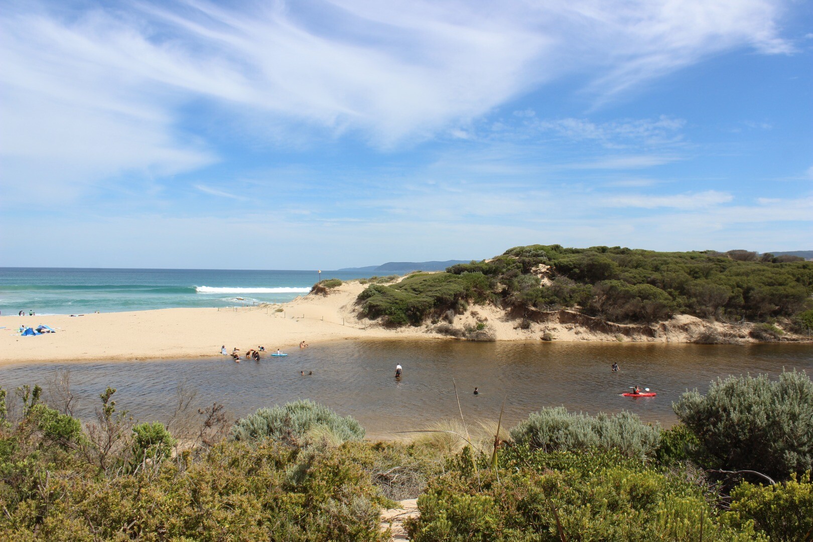
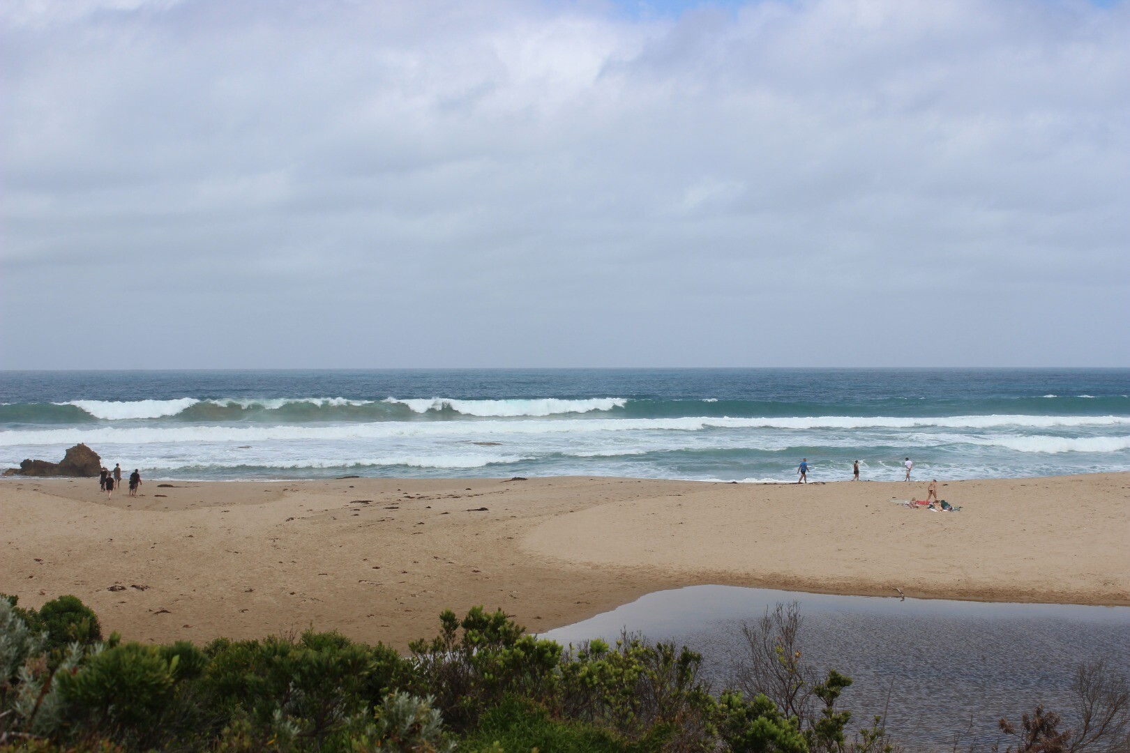
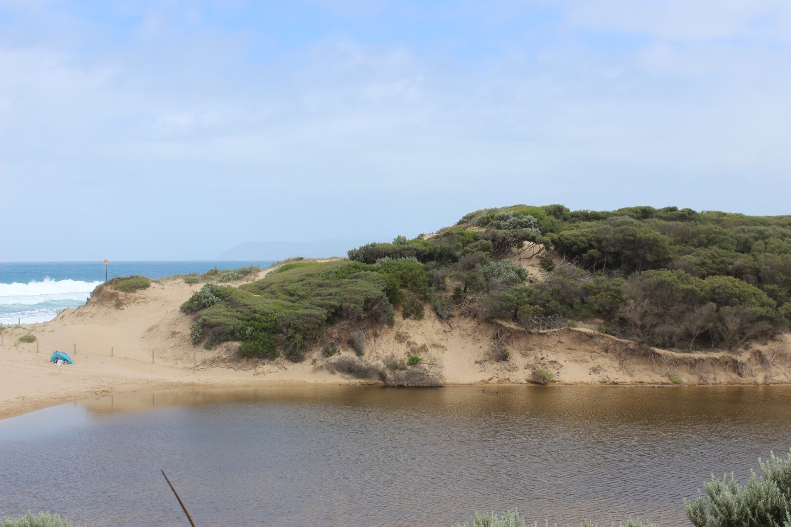
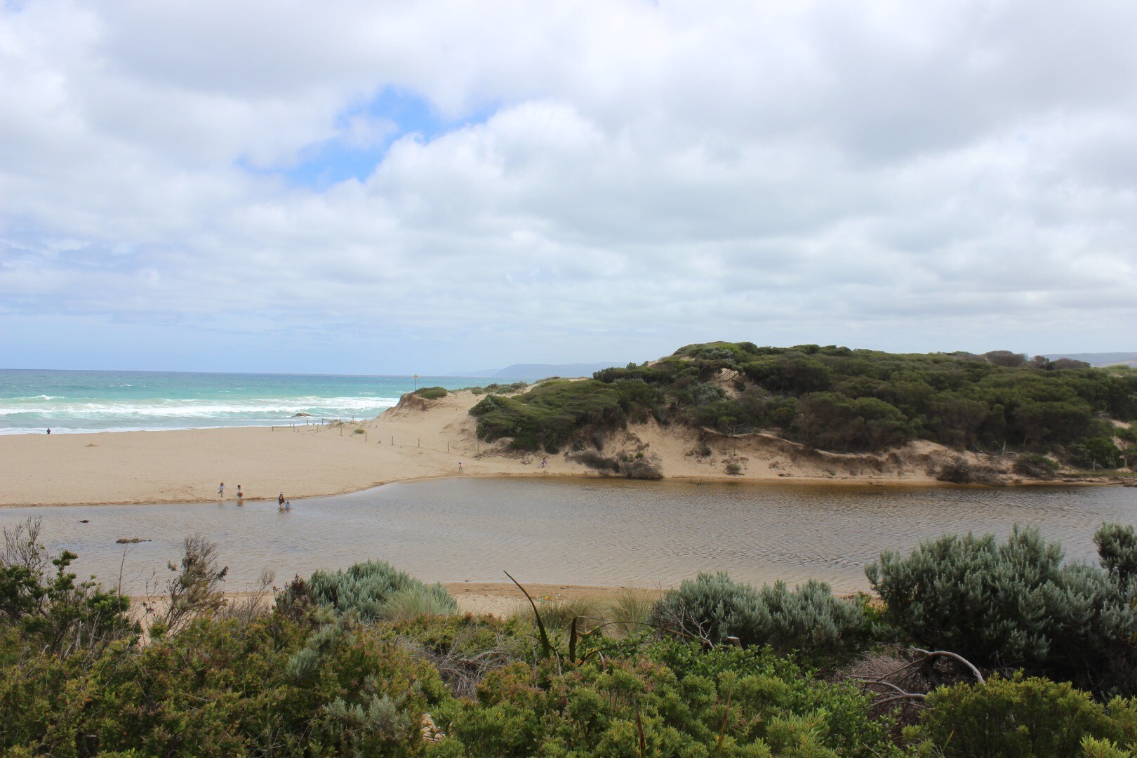
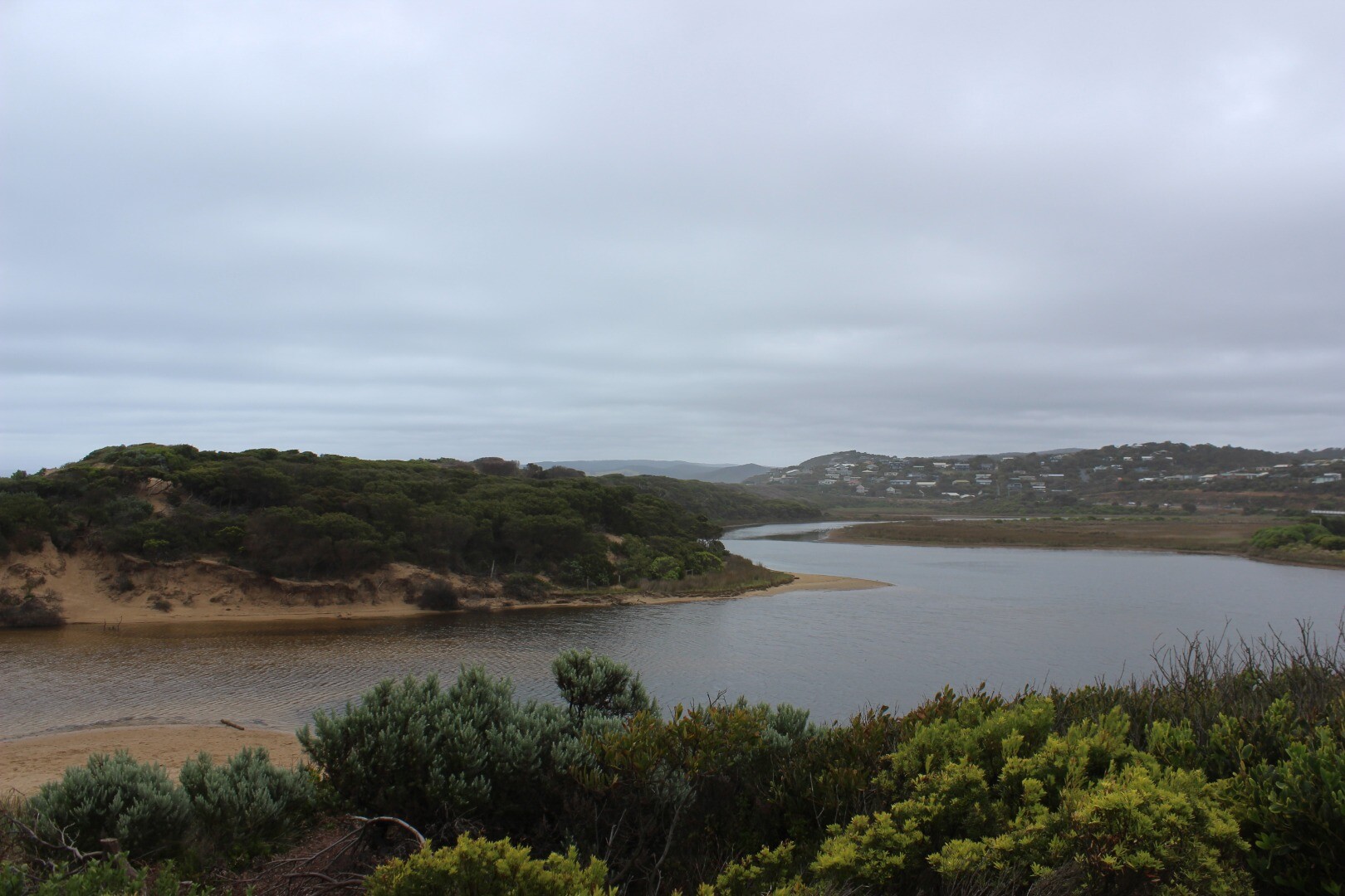
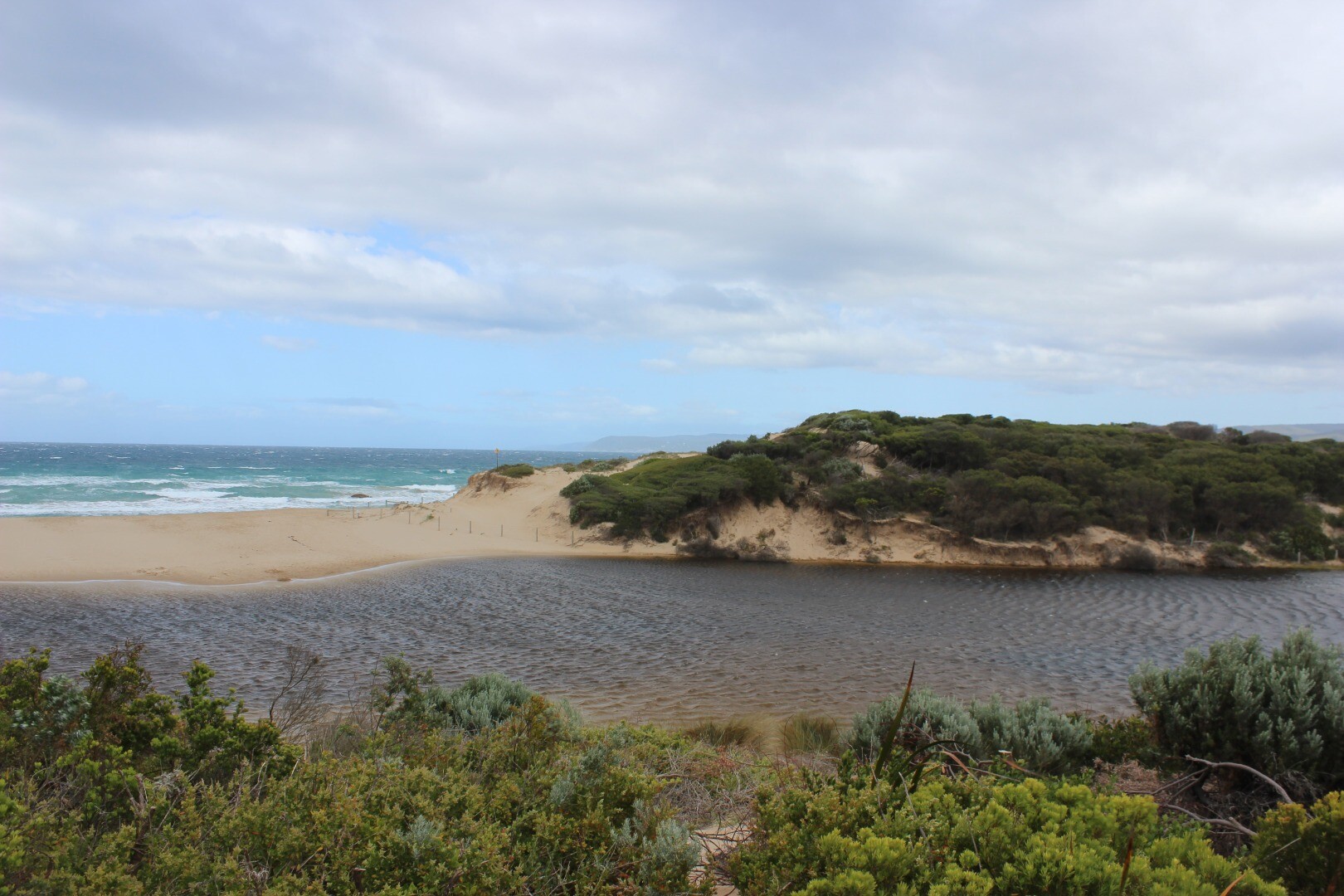
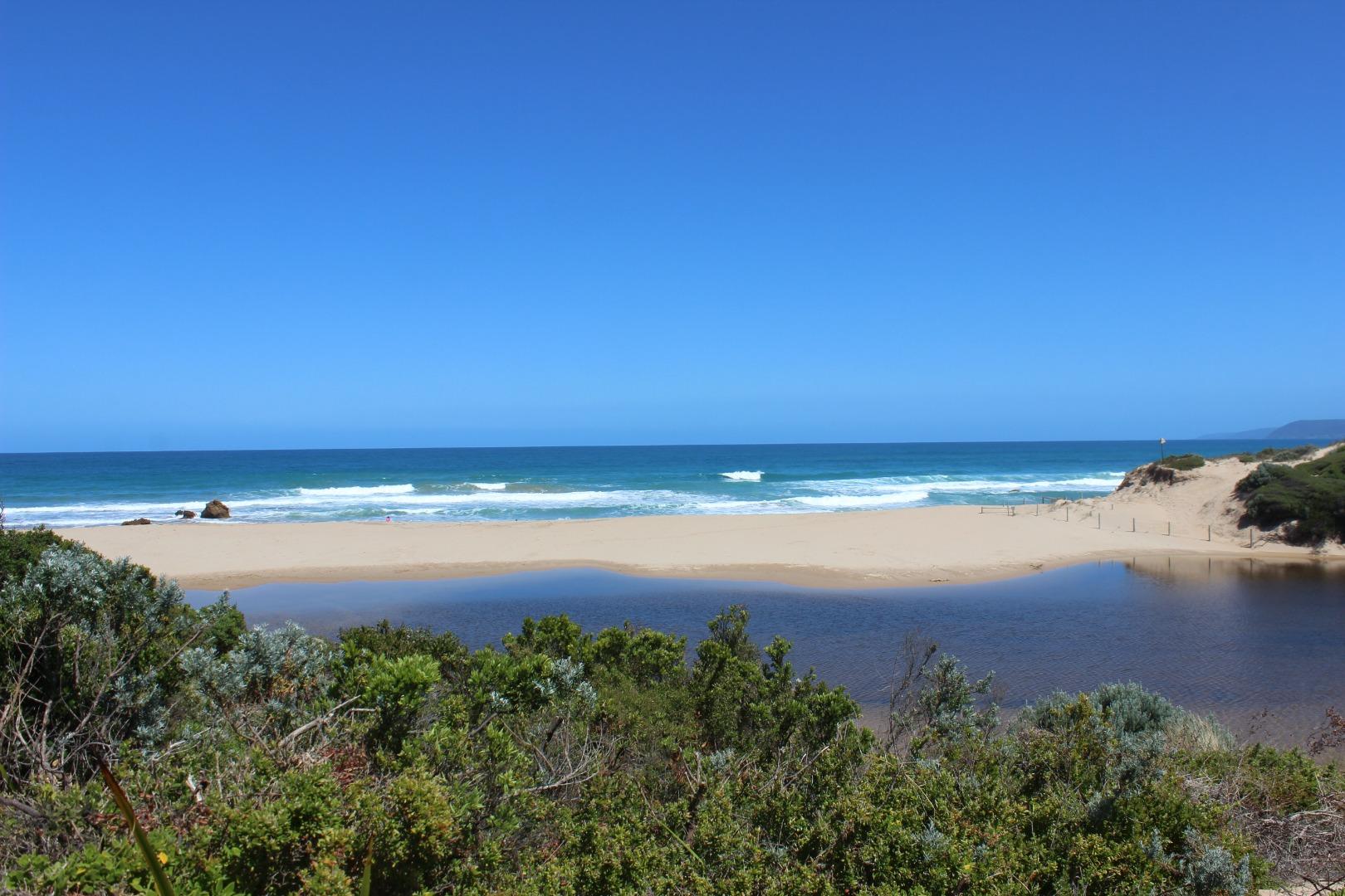
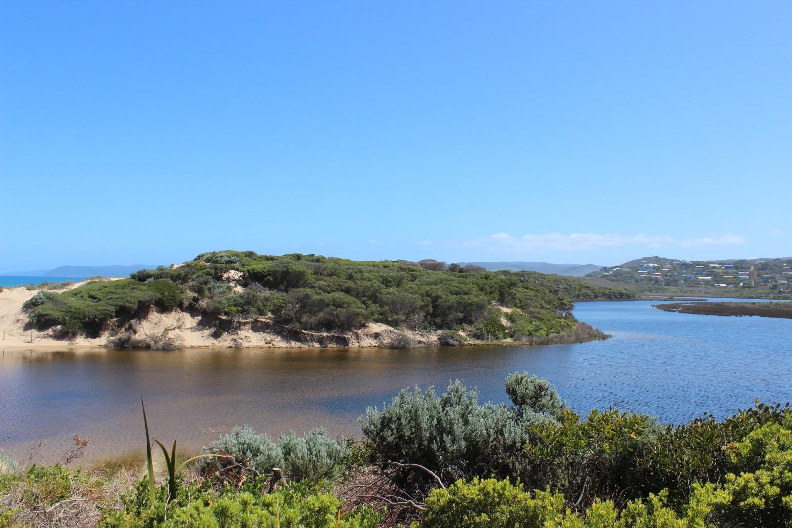
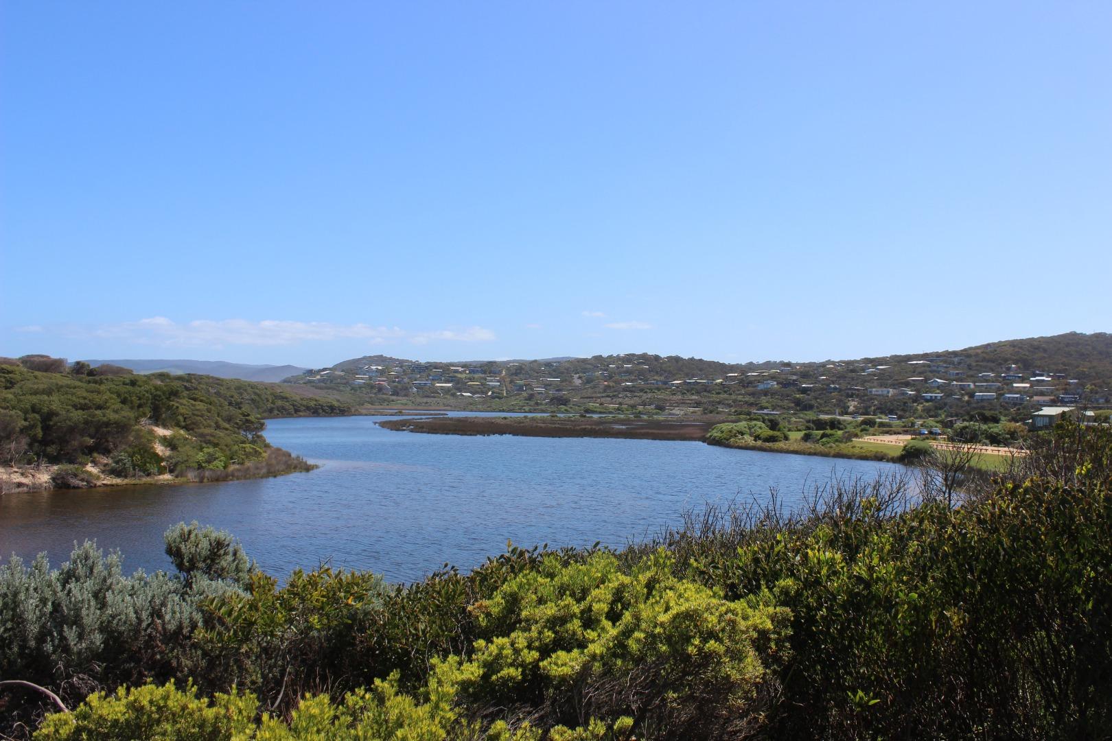
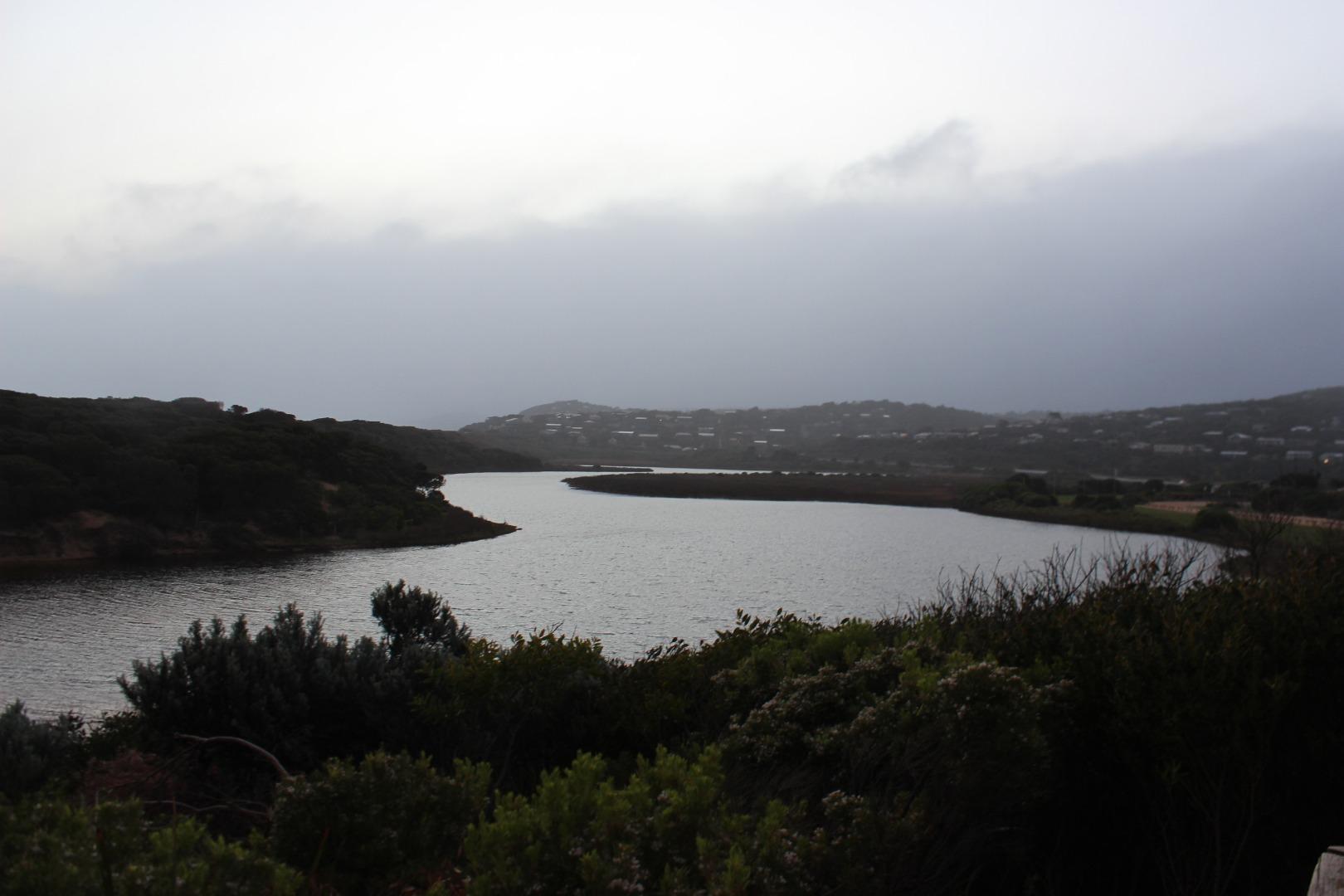
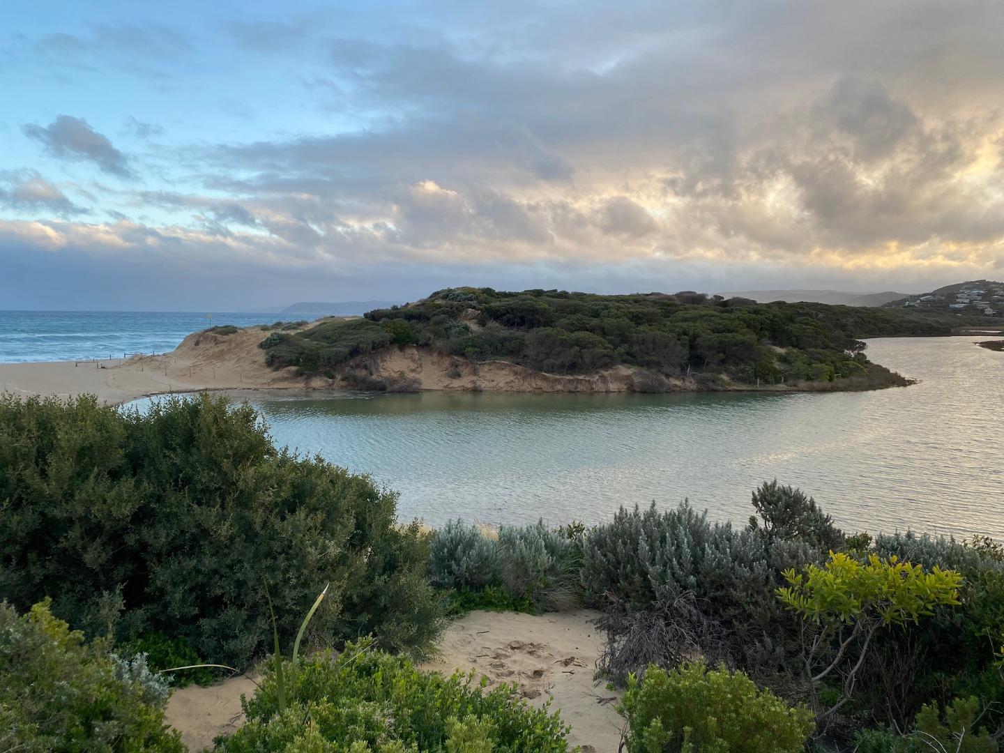
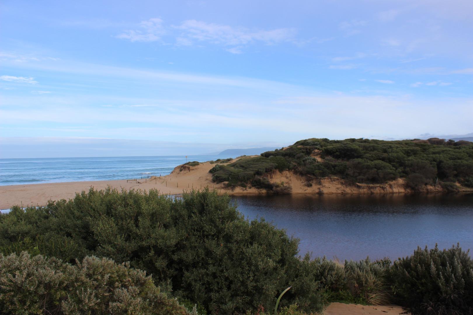
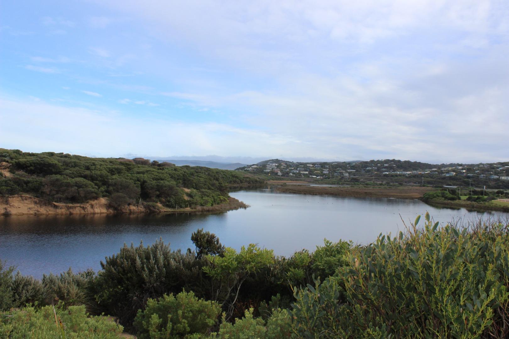
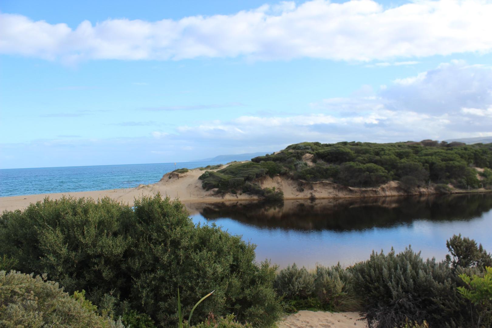
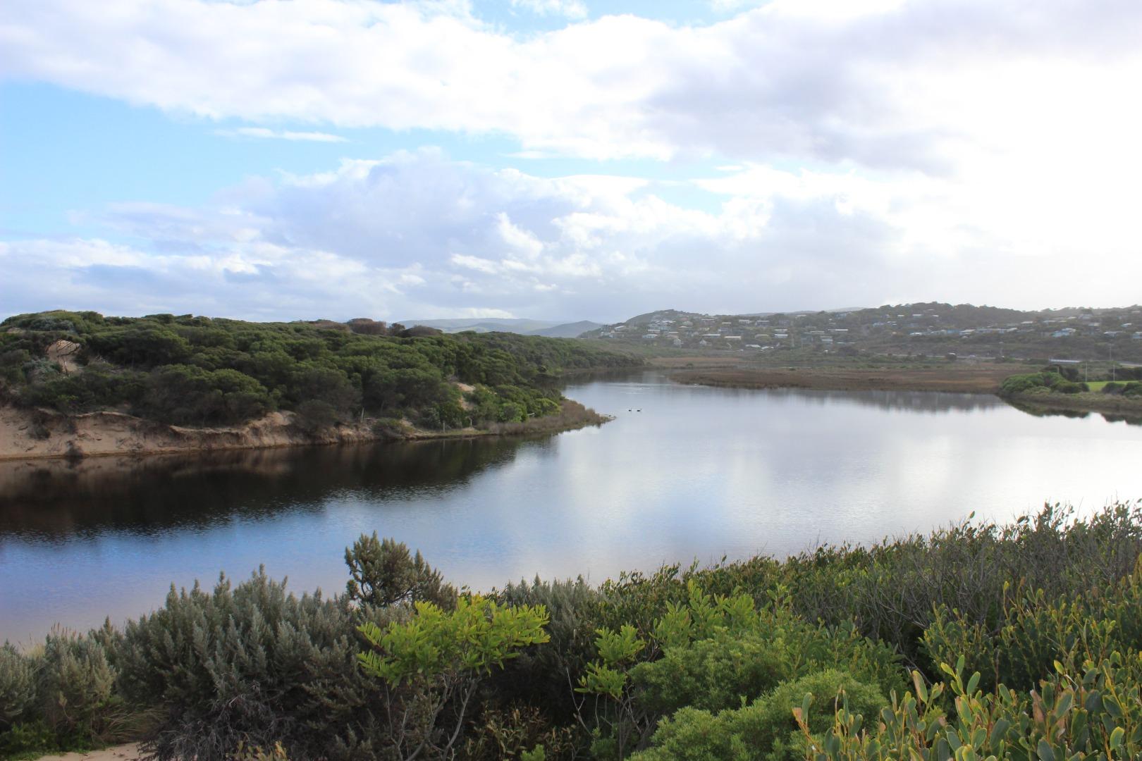
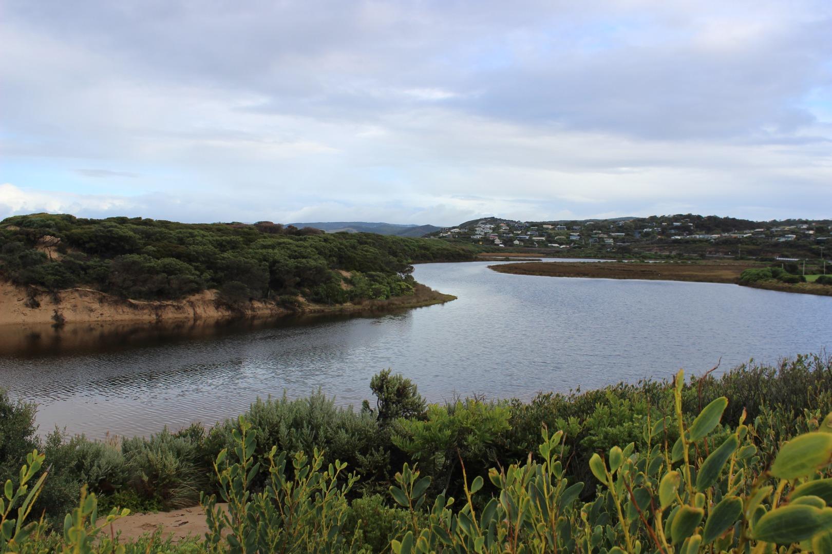
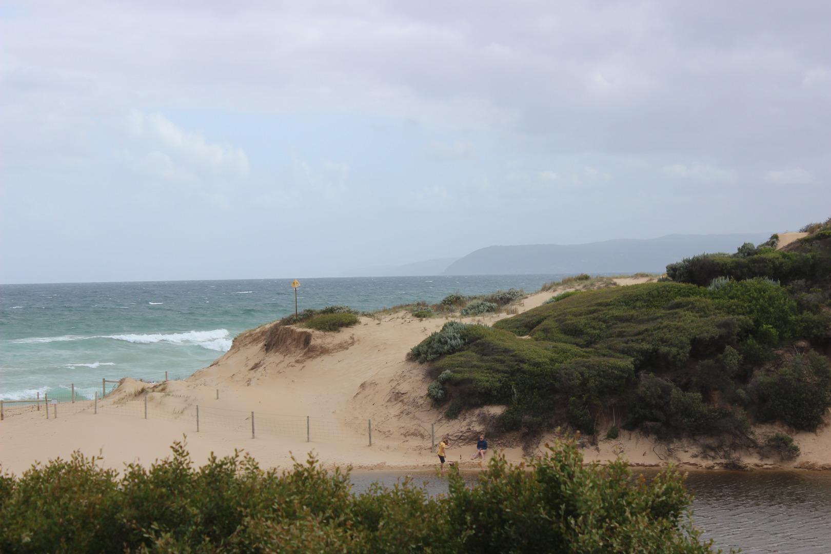
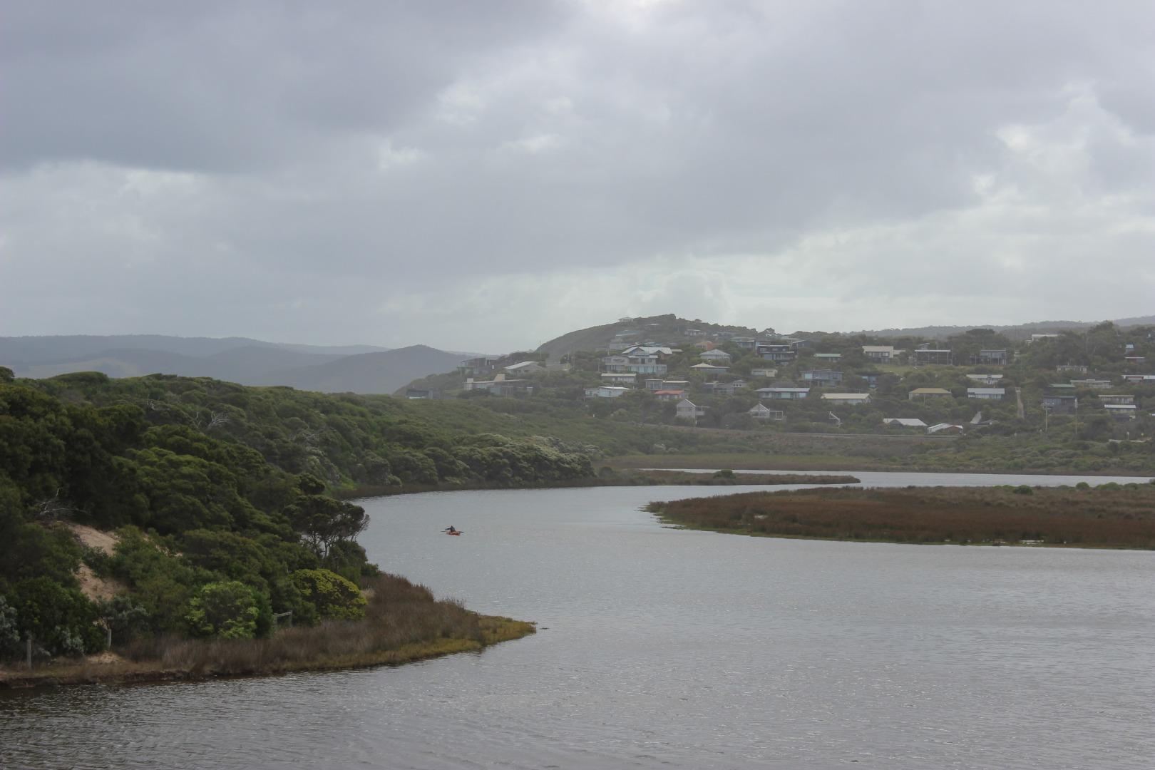
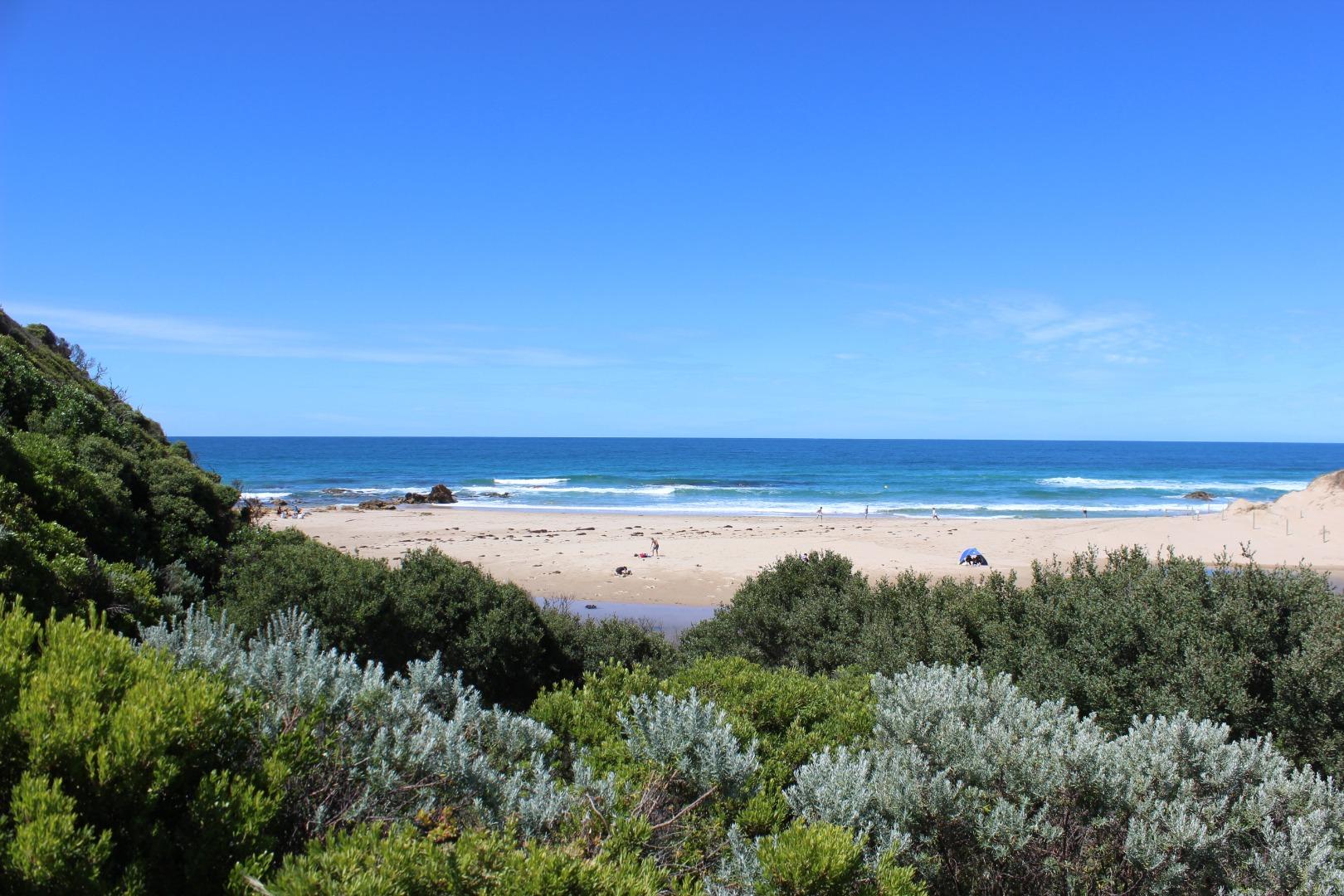
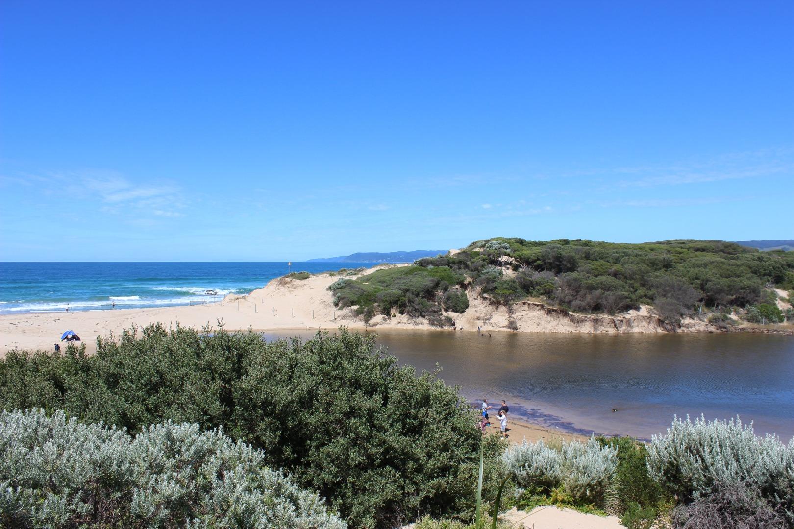
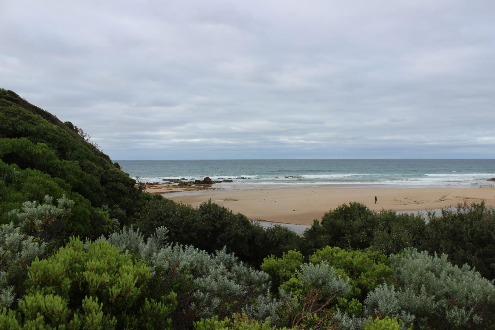
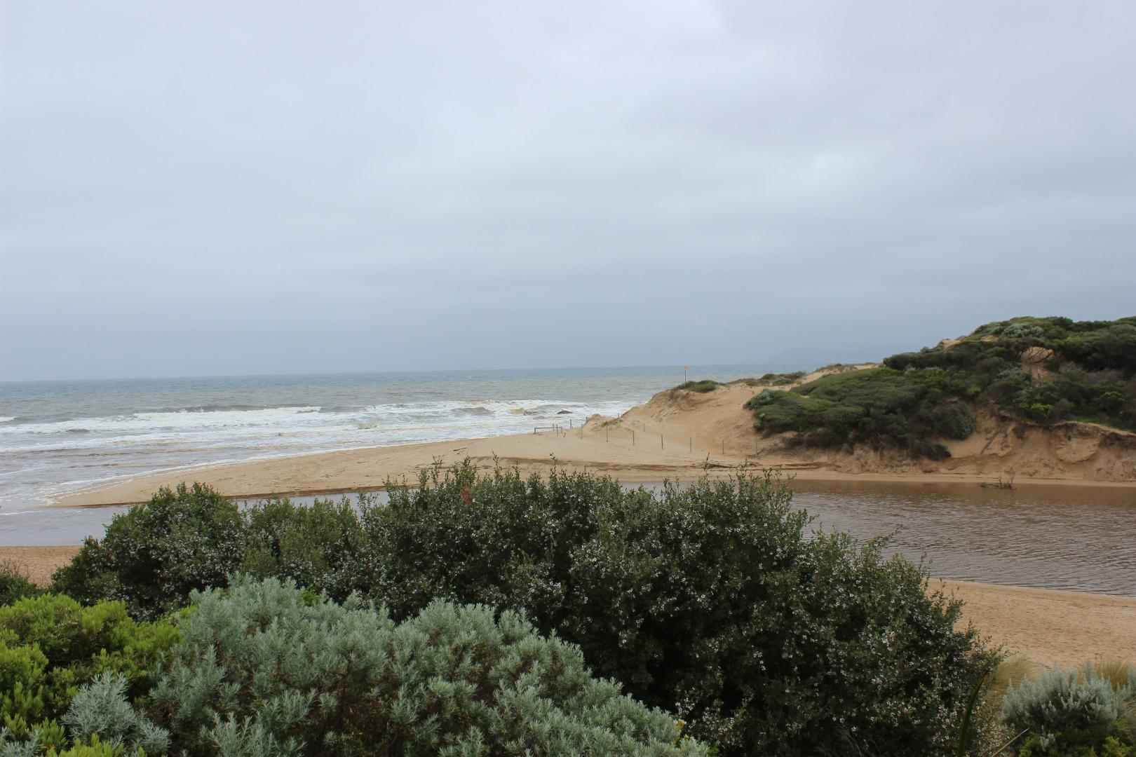
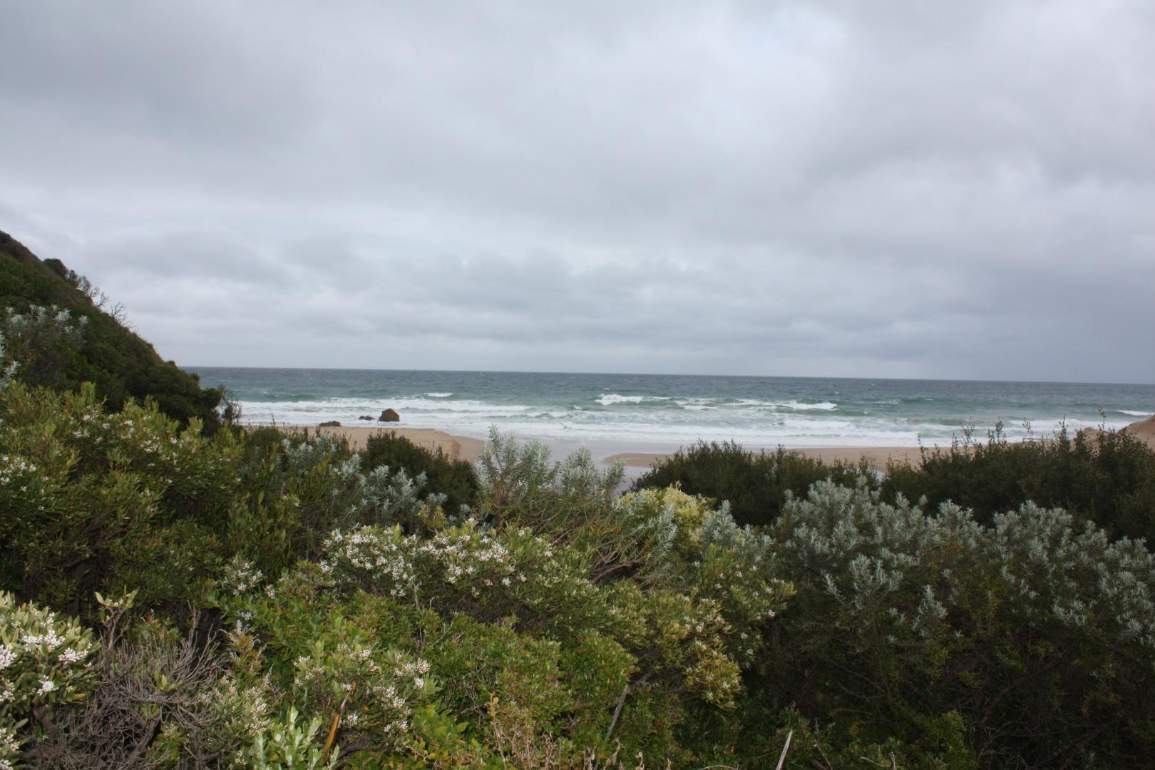
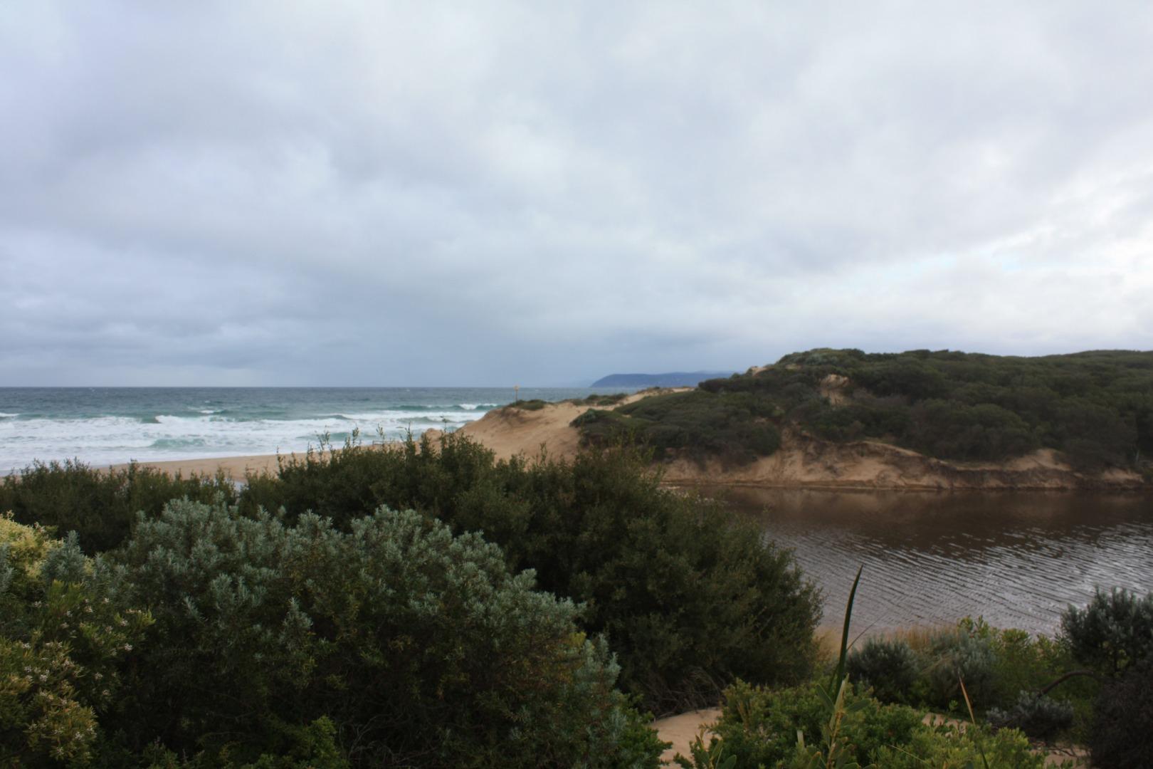
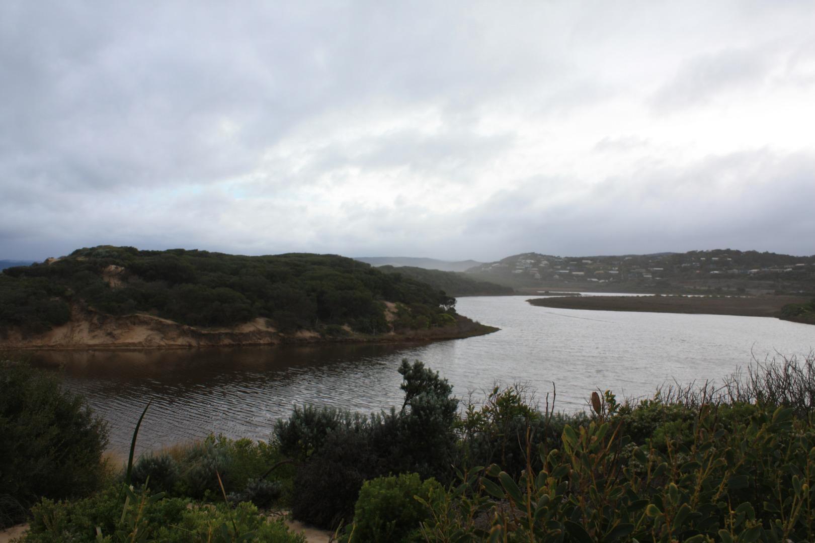
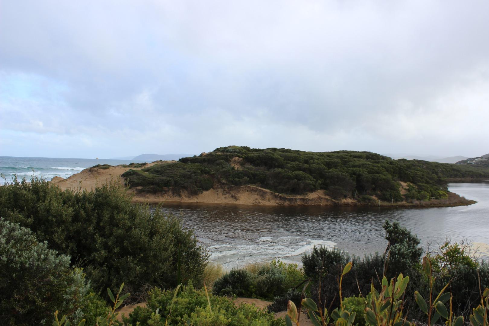
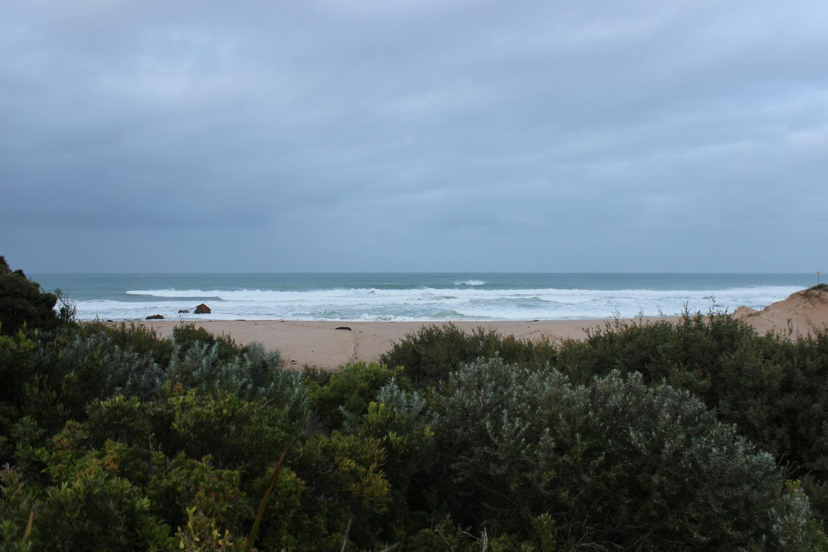
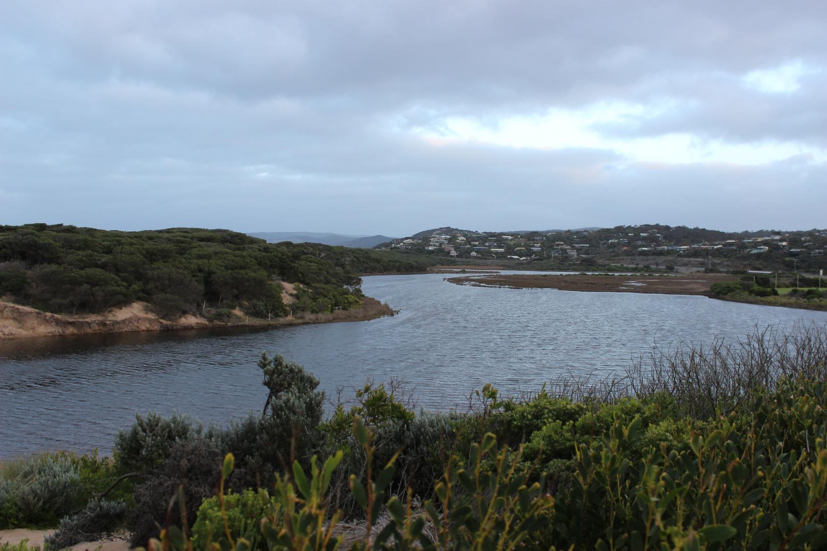
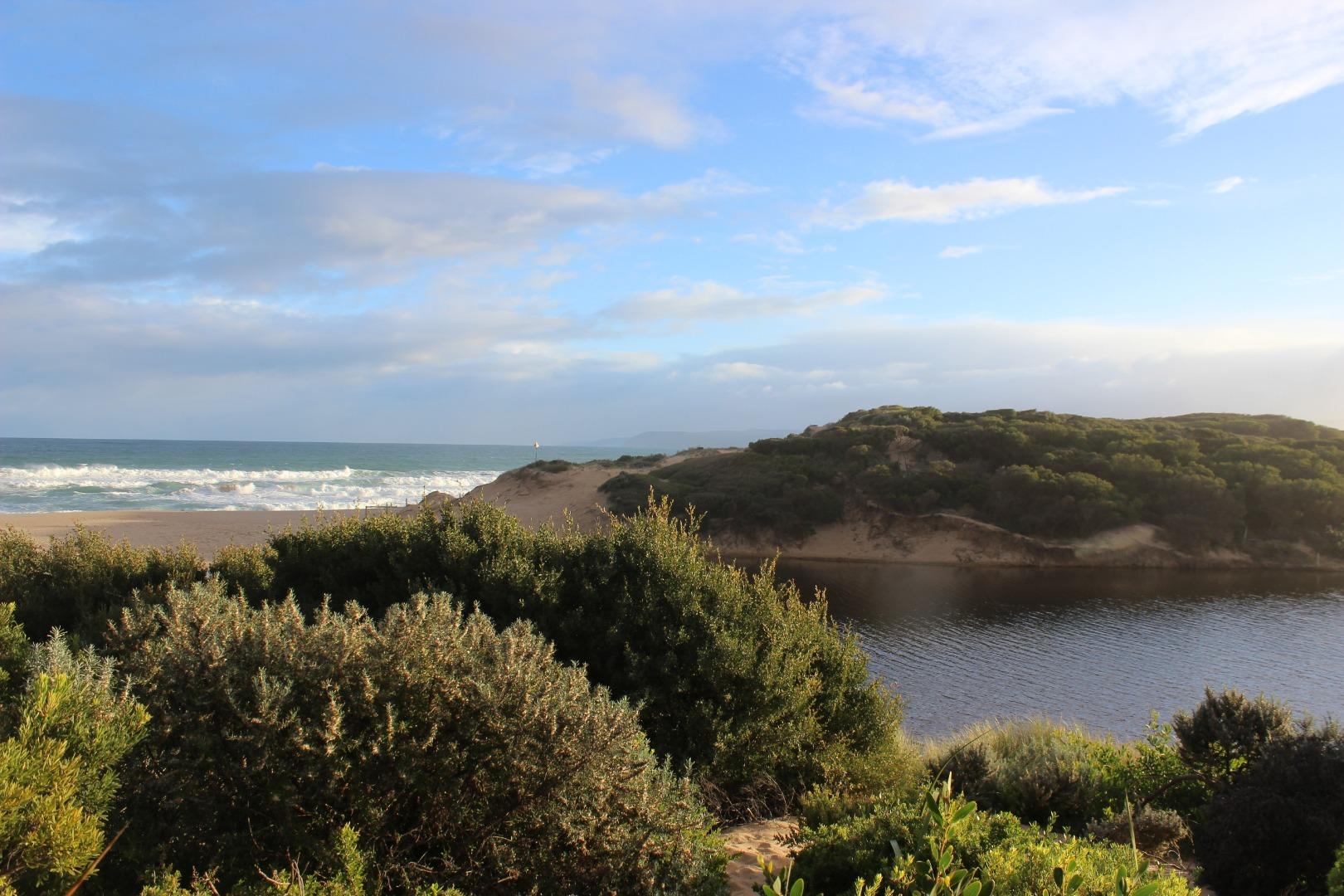
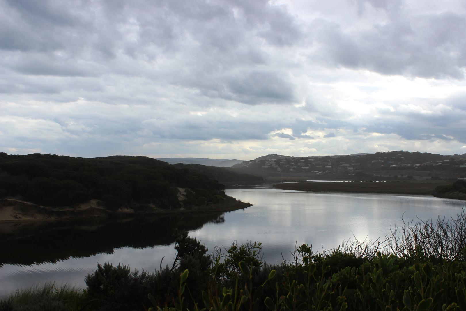
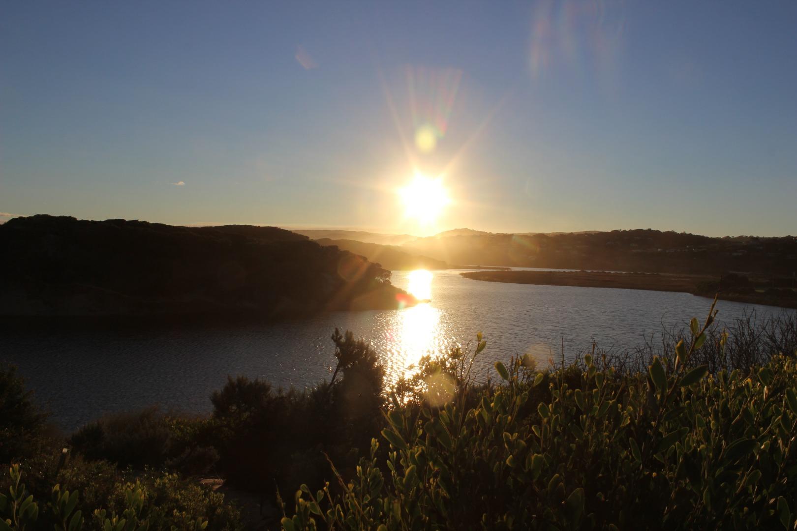
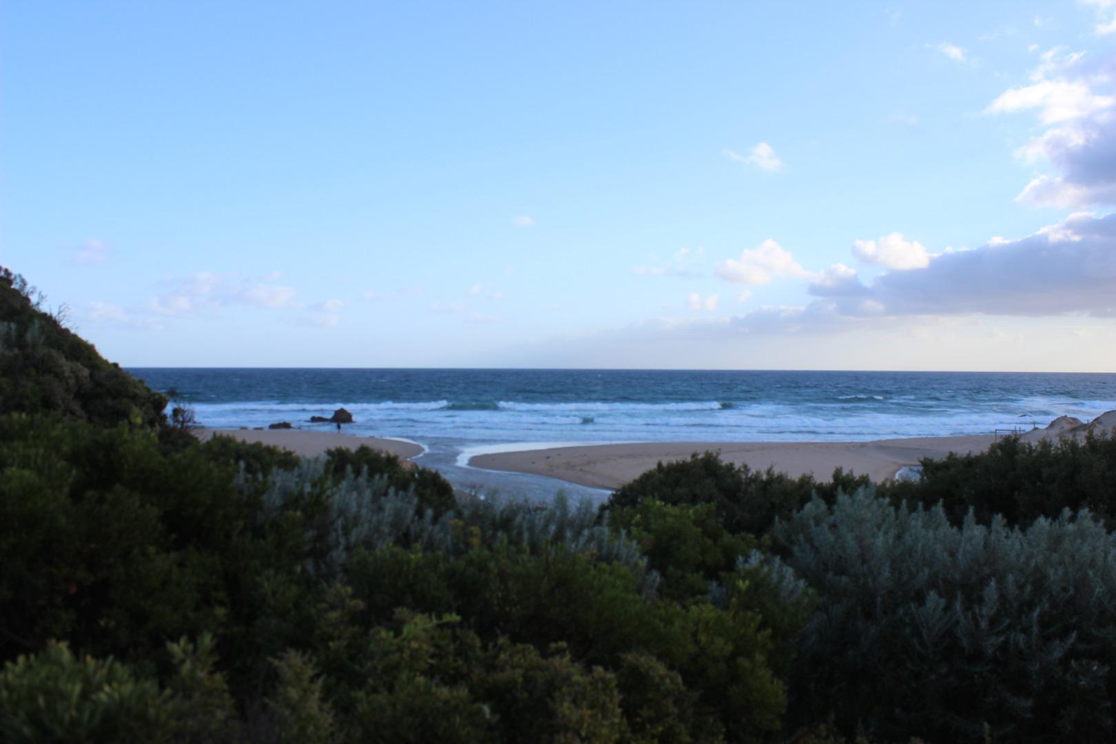
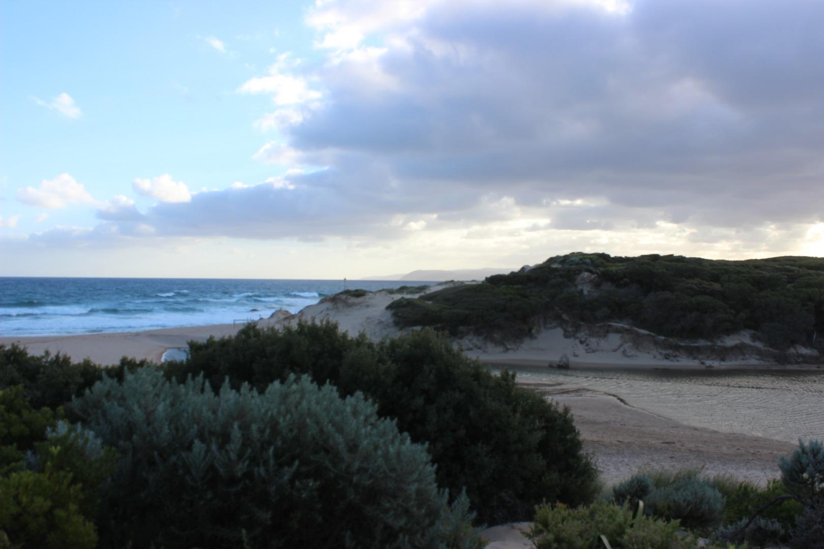
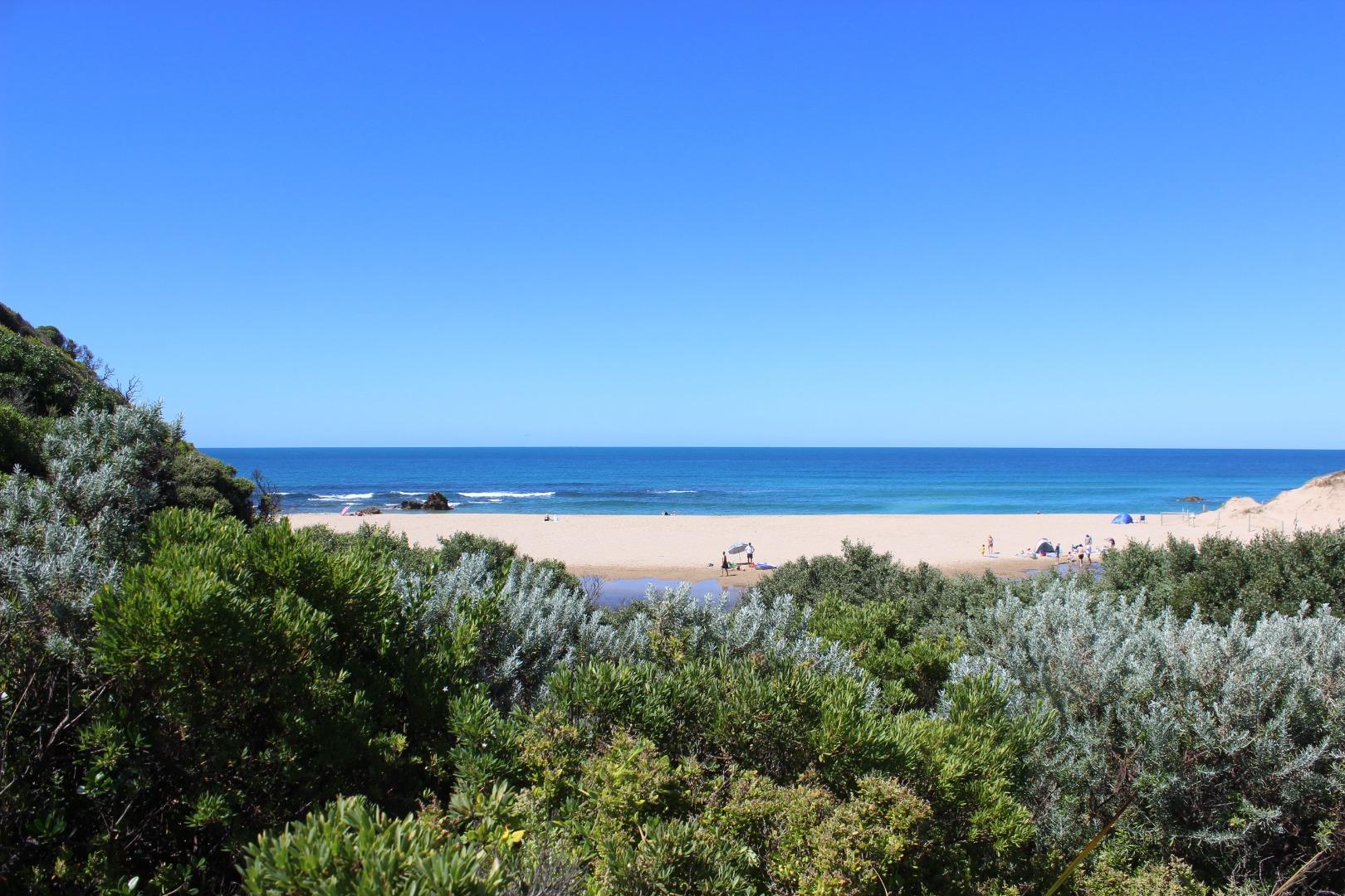
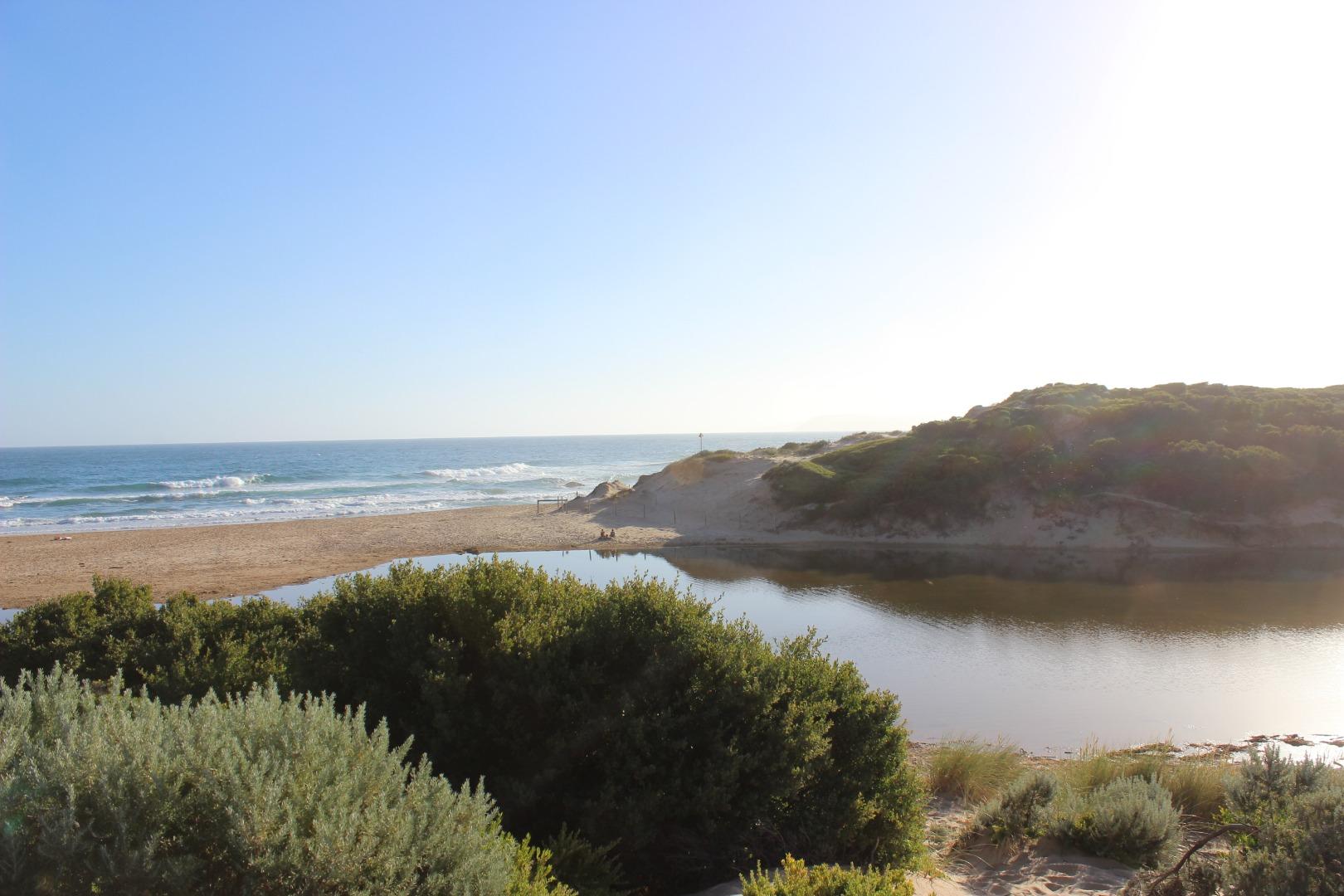
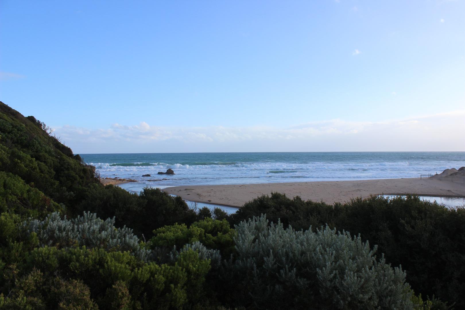
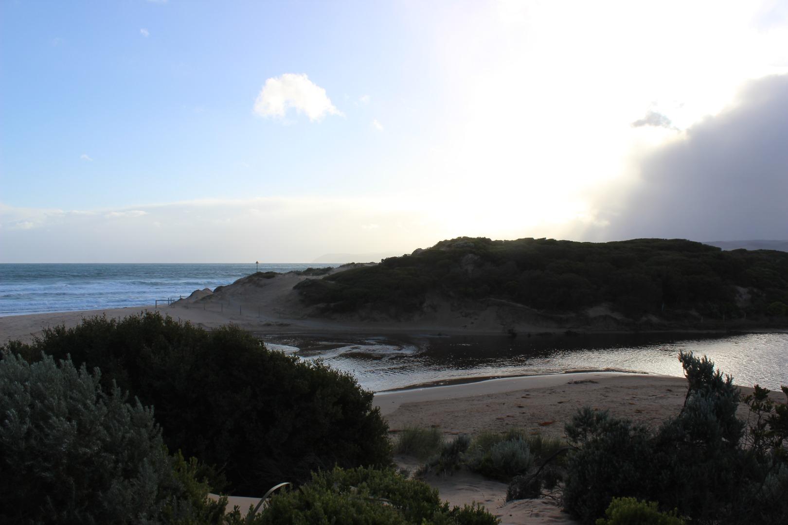
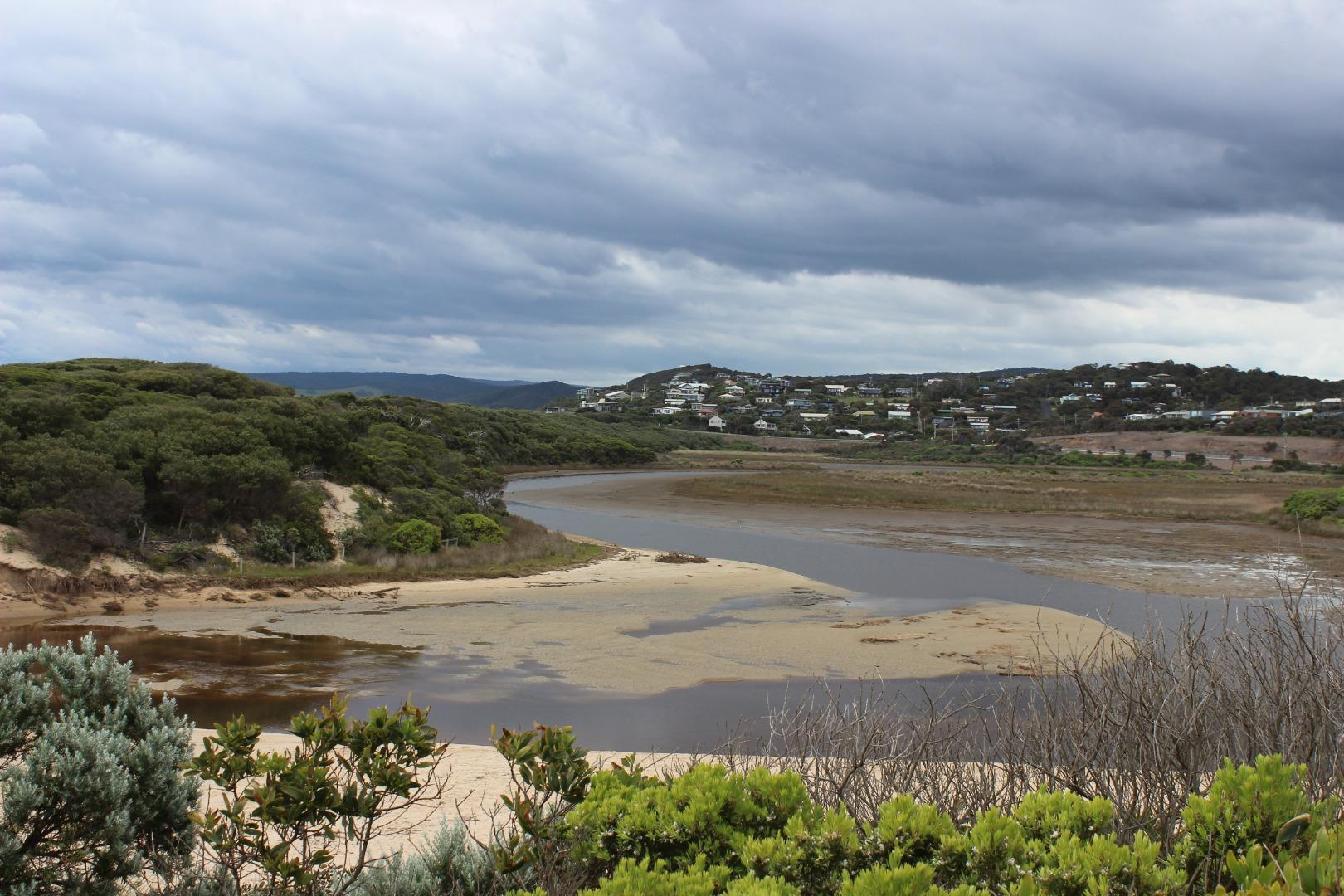
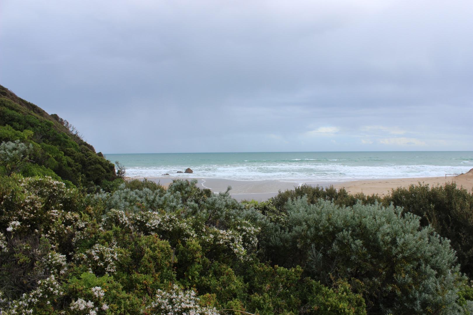
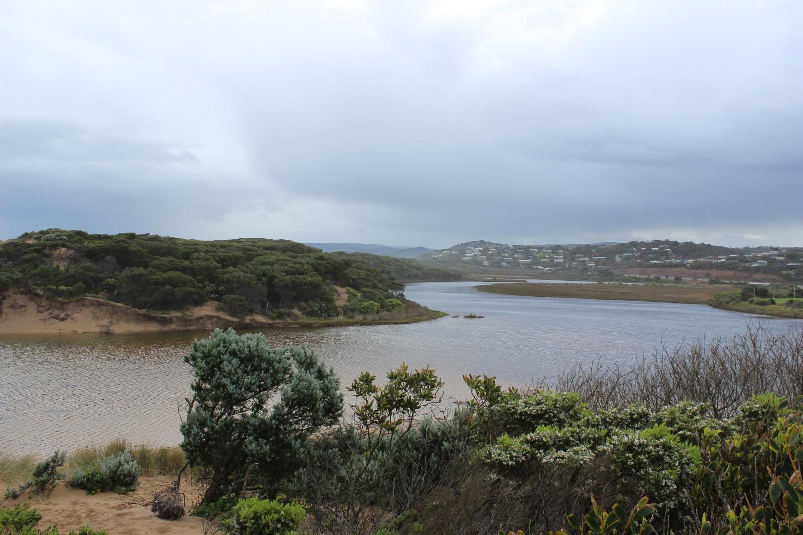
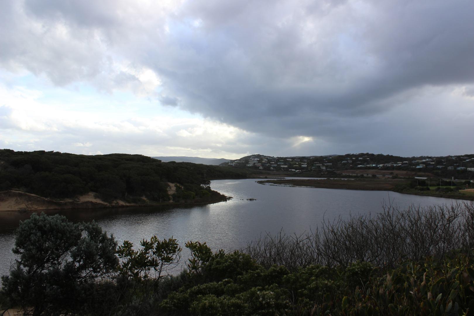
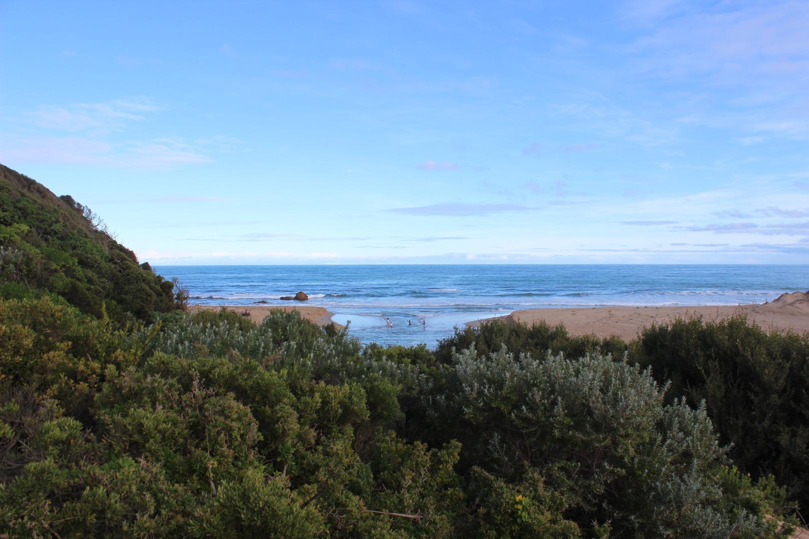
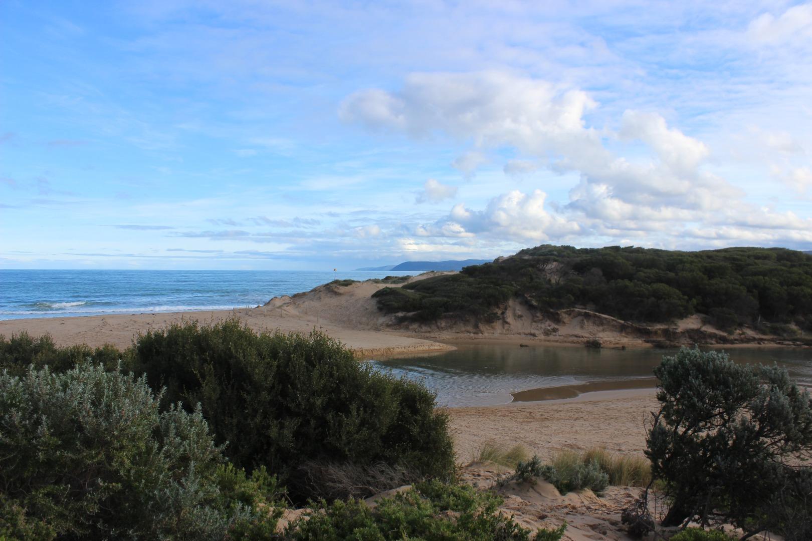
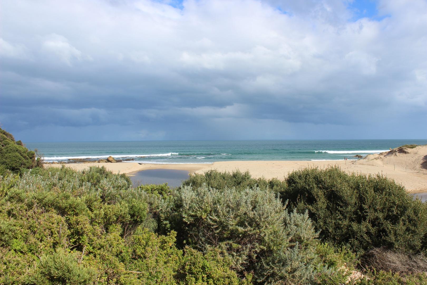
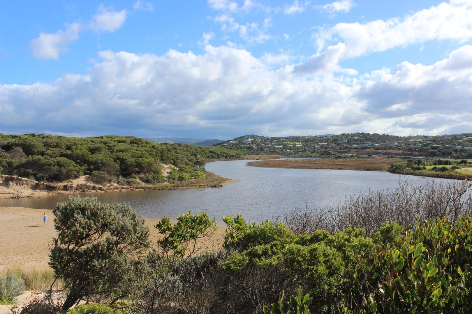
Painkalac Creek Estuary is approximately 3.5km in length and has a catchment area of 318.1Ha. It is a beautiful coastal lagoon system which attracts the spotted green frog and the eastern banjo frog (Pobblebonk).
Map
Estuary Values
- the Painkalac Creek estuary has been identified as an Important Bird Area
- significant birds can be found on the Painkalac Creek estuary such as the Eastern Great Egret (Ardea modesta) Status: Vulnerable (Adv list), Nankeen Night Heron (Nycticorax caledonicus) Status: Near Threatened (Adv list), Royal Spoonbill (Platalea regia) Status: Vulnerable (Adv List)
- Riparian Forest Ecological Vegetation Class (Vulnerable)
- Swampy Riparian Woodland Ecological Vegetation Class (Endangered)
- Riparian Scrub/Swampy Riparian Woodland Complex Ecological Vegetation Class (Depleted)
- Sedgy Riparian Woodland Ecological Vegetation Class (Depleted)
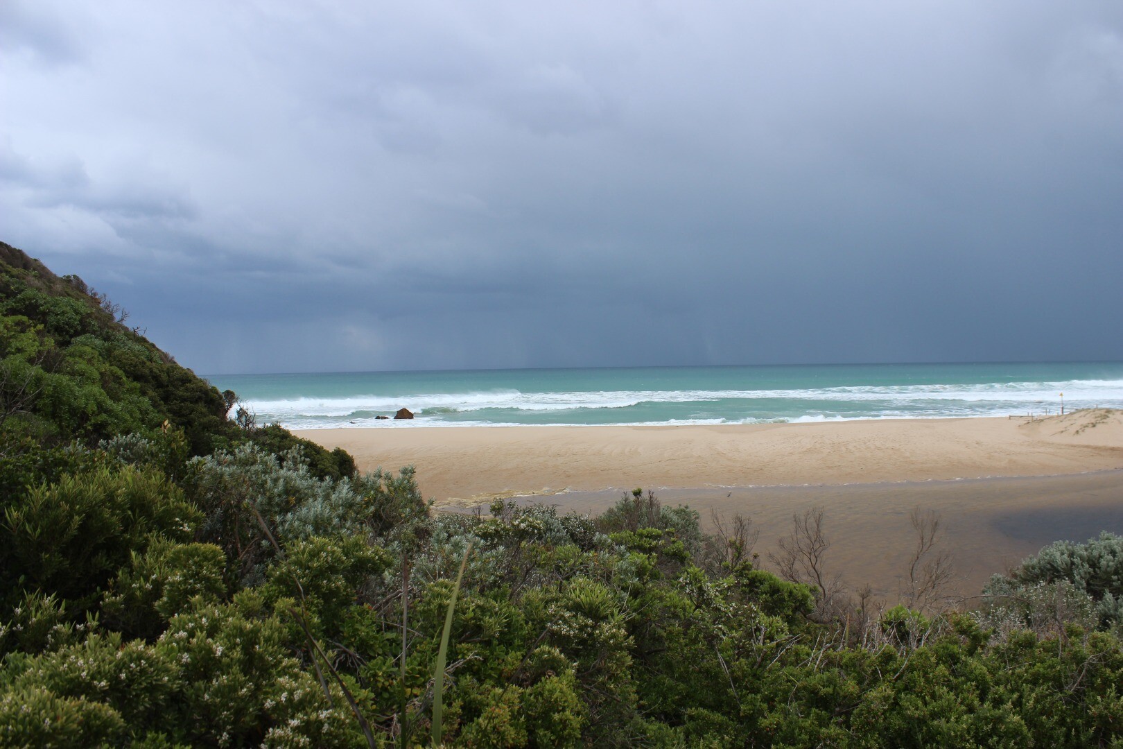
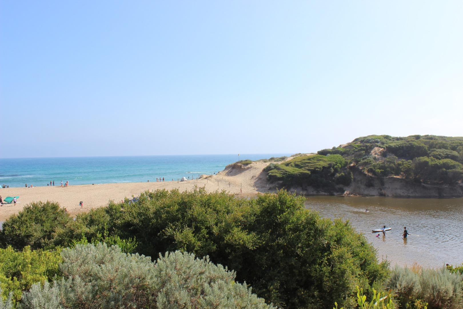
- canoeing, kayaking and stand up paddling
- picnics and barbecues
- recreational fishing
- sightseeing
- swimming
Estuary Threats
- Degraded estuarine vegetation
- Disturbance of Acid Sulphate Soils
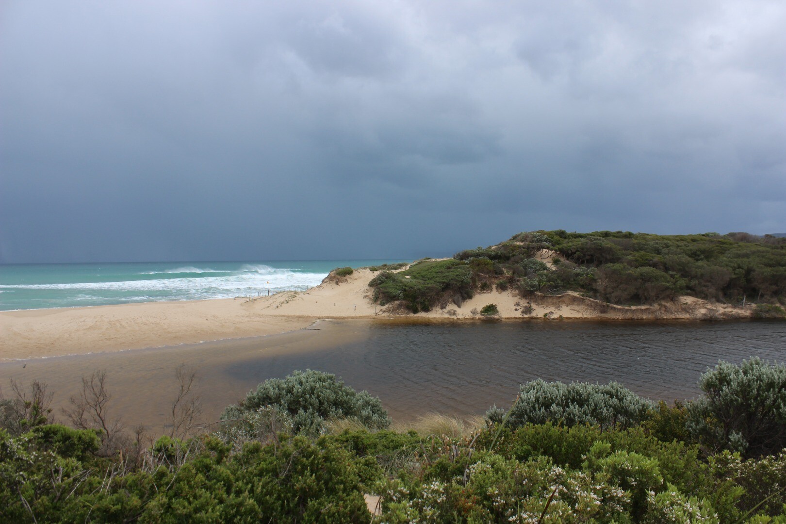
- Artificial estuary openings
- Flow deviation
- Stock access
- Bed instability
- Painkalac_Estuary_Management_Plan.pdf
- Science_behind_estuary_openings_Painkalac_Creek_Factsheet_2022_FINAL.pdf
- Painkalac Creek Estuary Fact Sheet
Recent Events
No recent estuary events found
View all events
Sites
P1 |
Estuary mouth area approximately 20m behind sand dune at estuary mouthRetired Physico-Chemical 23-05-2007 - 23-05-2007Estuary mouth area approximately 20m behind sand dune at estuary mouth Observations 1 |
P2 |
Great Ocean Road Bridge at Aireys InletActive Physico-Chemical 11-05-2007 - 09-05-2026Great Ocean Road Bridge at Aireys Inlet - centre post Observations 245 |
P3 |
Coastal Court Fishing PlatformActive Physico-Chemical 14-07-2007 - 12-04-2026Fishing platform adjacent to Coastal Court Observations 165 |
P4 |
The BendActive Physico-Chemical 19-10-2007 - 09-05-2026Fishing platform at The Bend in the estuary Observations 191 |
P5 |
Woods Property FairhavenActive Physico-Chemical 23-05-2007 - 14-02-2026Fishing jetty at private property. Property owner consent required for access. Observations 191 |
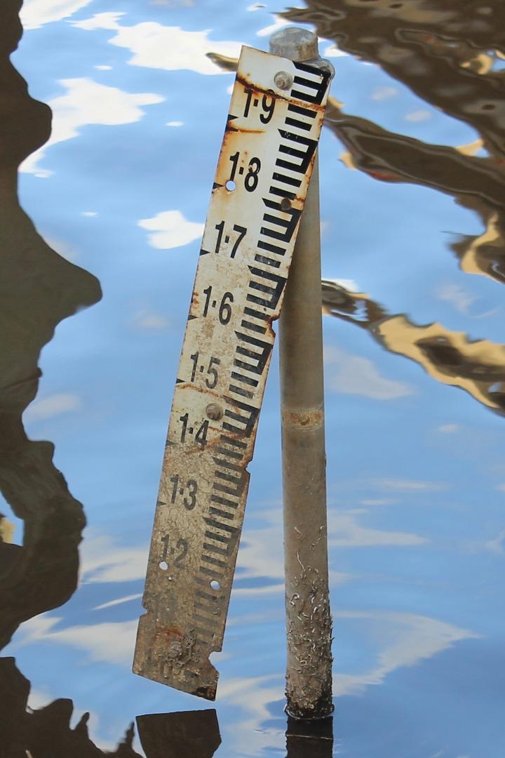
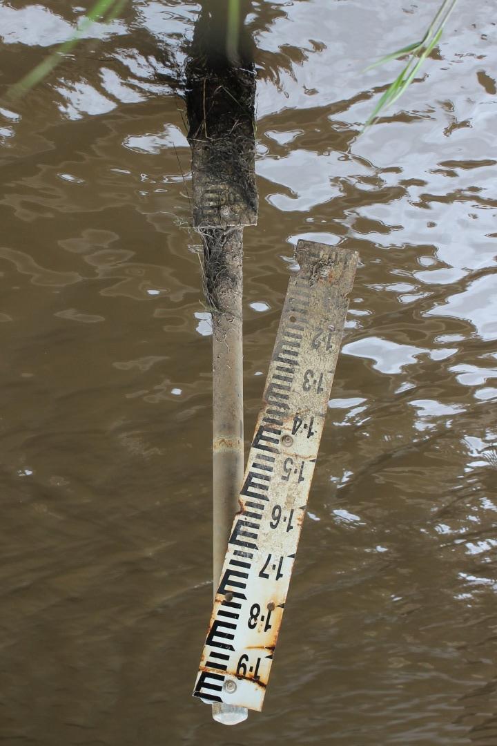
PGB |
Painkalac Creek Gauge BoardActive Gauge BoardThe water level gauge board, used in the mouth condition monitoring process, is located under the Great Ocean bridge. It can be read from the western bank on the inland side of the bridge. |
PMC |
Painkalac Creek Mouth ConditionActive Mouth Condition 23-05-2007 - 08-05-2026Lookout platform on eastern side of estuary Observations 299 |
Pp1 |
Painkalac Creek PhotopointActive Photopoint 13-08-2010 - 08-05-2026Lookout platform on eastern side of estuary Photos 791 |
Full estuary snapshots below use dates where samples at every active monitoring site were recorded.
View full and partial snapshots
Autumn 2026
Summer 2026
Spring 2025
Winter 2025
Autumn 2025
Summer 2025
Spring 2024
Winter 2024
Autumn 2024
Summer 2024
Spring 2023
Winter 2023
Autumn 2023
Summer 2022
Spring 2022
Winter 2022
Autumn 2022
Summer 2022
Spring 2021
Winter 2021
Autumn 2021
Mouth Condition Snapshots


We acknowledge and respect Victorian Traditional Owners as the original custodians of Victoria’s land and waters, their unique ability to care for Country and deep spiritual connection to it.
We honour Elders past and present whose knowledge and wisdom has ensured the continuation of culture and traditional practices.
We honour Elders past and present whose knowledge and wisdom has ensured the continuation of culture and traditional practices.
 All content, files, data and images provided by the EstuaryWatch Data Portal subject to a Creative Commons Attribution License
Data portal by CeRDI
All content, files, data and images provided by the EstuaryWatch Data Portal subject to a Creative Commons Attribution License
Data portal by CeRDI