Spring Creek Estuary
Corangamite CMA
DOWNLOAD DATAOverview
Inactive Spring Creek EstuaryWatchers
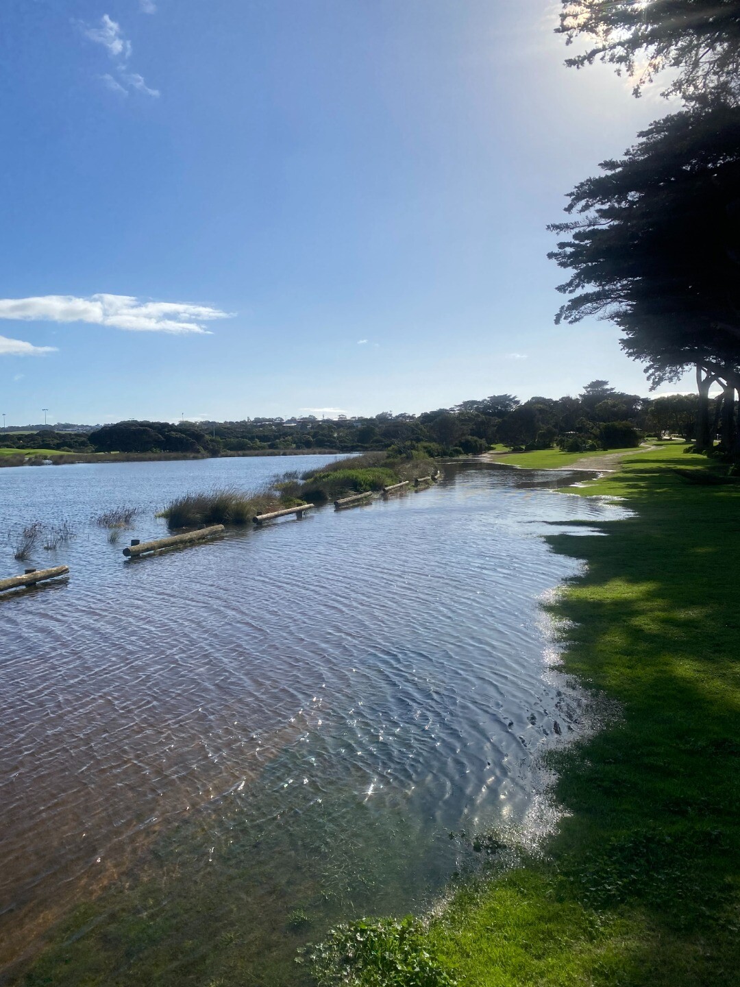
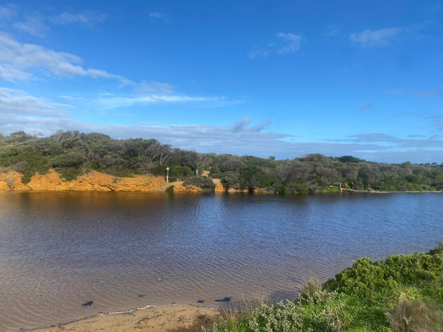
Spring Creek Estuary is approximately 2km in length, with a catchment area of 153.0Ha, and enters the sea at the popular Torquay surf beach. The estuary s bordered by the Spring Creek Reserve which contains unique and rare Moonah Woodlands and Bellarine Yellowgums.
Map
Estuary Values
- canoeing
- fishing
- walking
- bike riding.
- Bellarine Yellow Gum (Eucalyptus leucoxylon subsp. bellarinesis) Status: Threatened (Adv List)
- Coastal Moonah Woodland is a threatened plant community found adjacent to the estuary.
Estuary Threats
- degraded estuarine vegetation
- artificial estuary openings
- degraded water quality
- livestock access upstream of the estuary
- degraded riparian vegetation upstream of the estuary
- Spring Creek Estuary Fact Sheet
Recent Events
| Event Details |
|---|
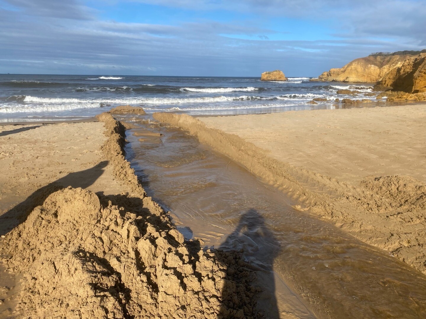
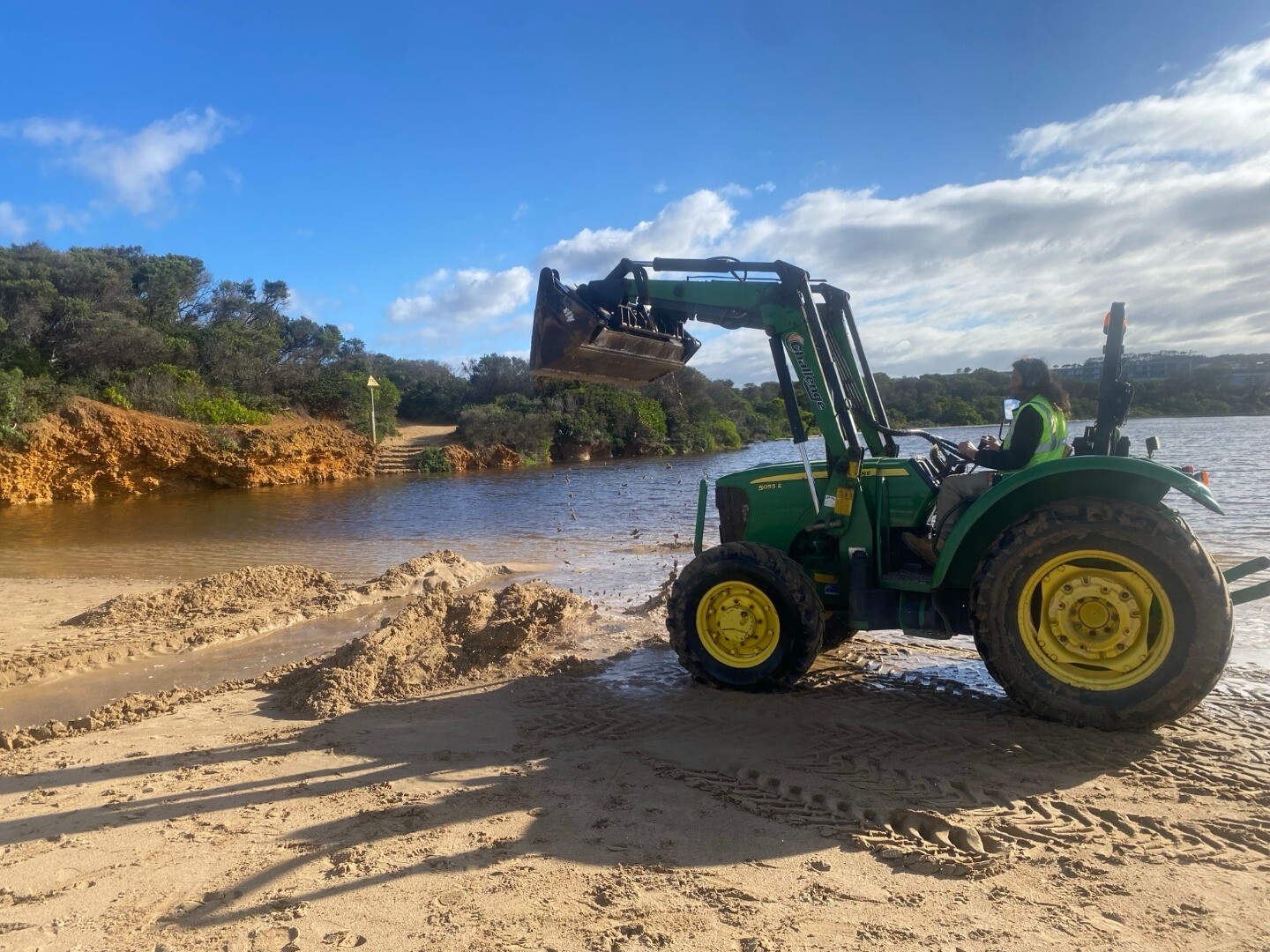
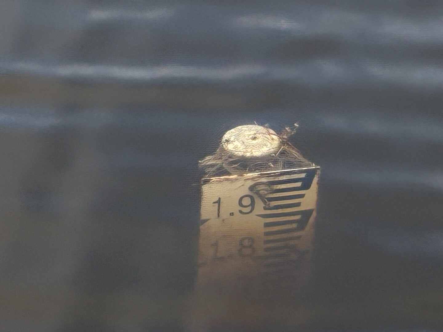
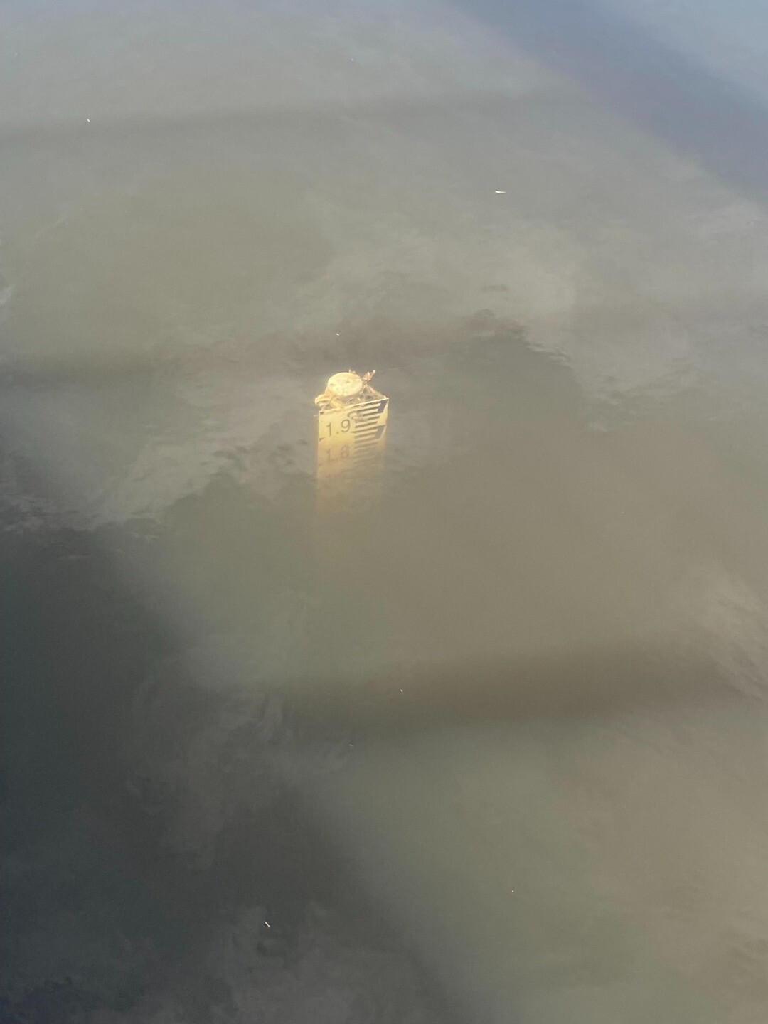
| 05-06-2026 Estuary Entrance Opening Artificial estuary opening conducted by GORCAPA. Gauge board (see photo) indicates that water level was above 2.0m AHD prior to the opening. High tides were observed overtopping the berm in the days before. 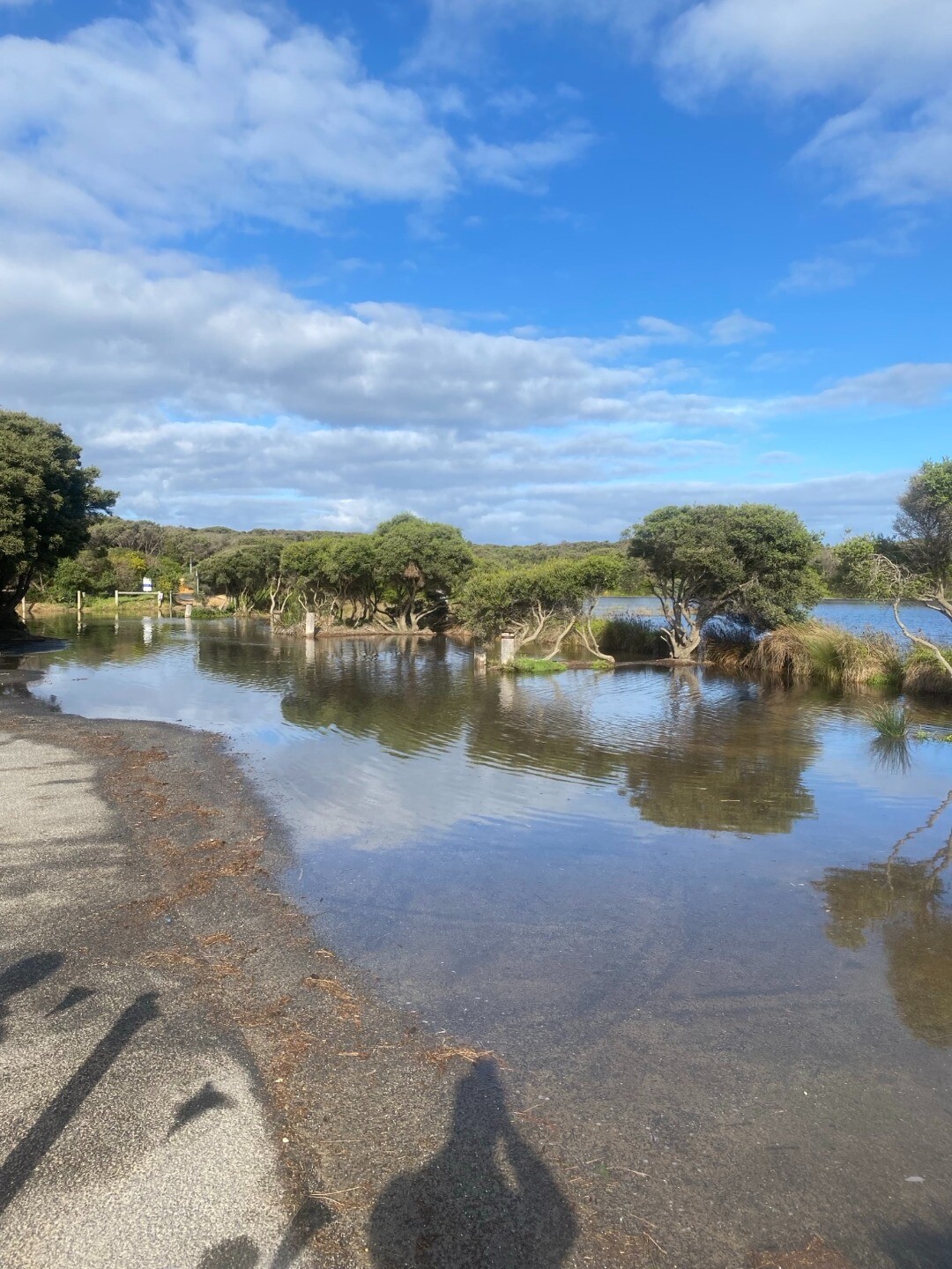
|
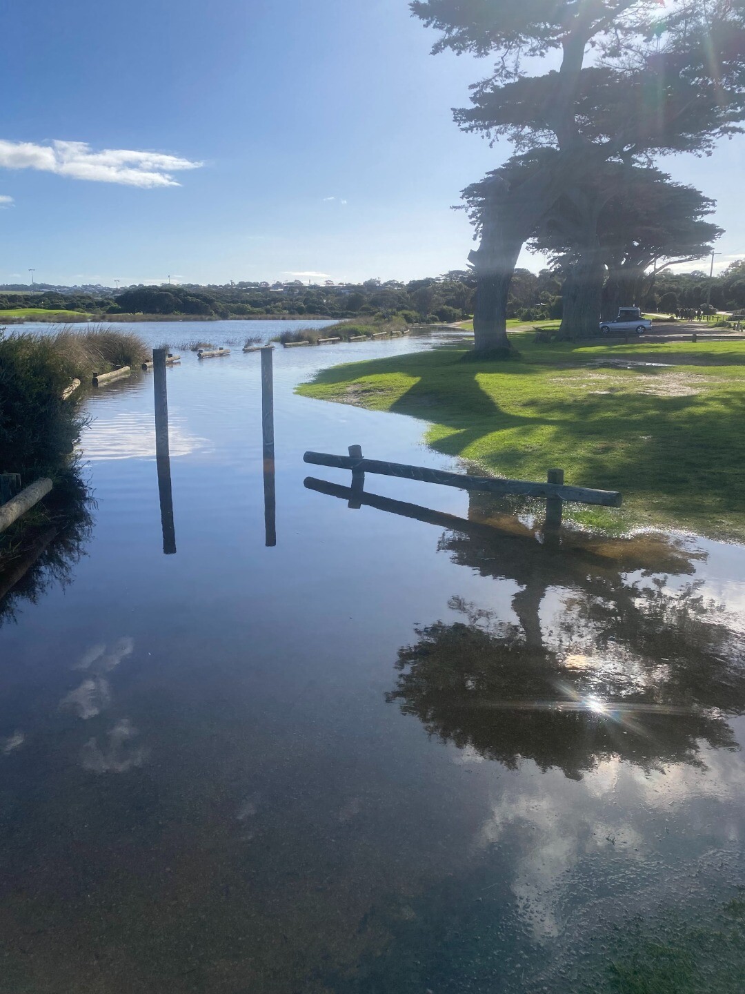
| 08-10-2023 Estuary Entrance Opening photo of the mouth, someone's unofficial opening attempt? 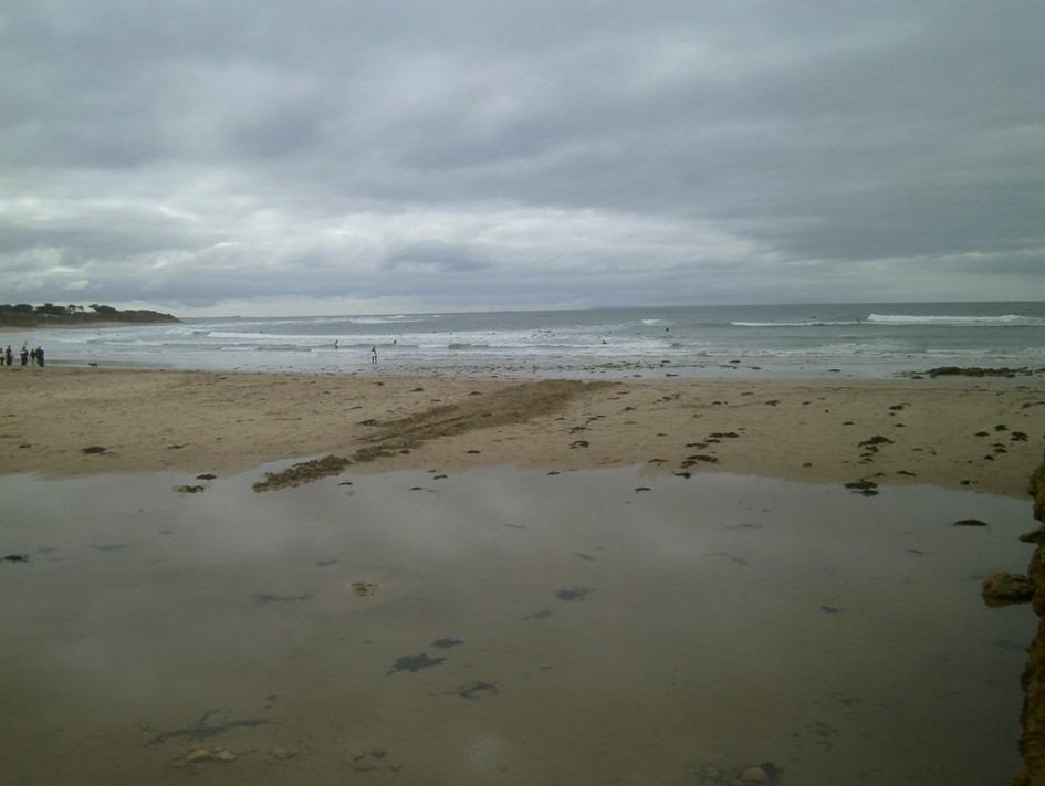
|
Sites
S1 |
Boardwalk near estuary mouthInactive Physico-Chemical 24-06-2007 - 19-12-2023Boardwalk near estuary mouth Observations 140 |
S2 |
Middle fishing platformInactive Physico-Chemical 08-07-2007 - 19-12-2023Middle fishing platform opposite first green on golf course Observations 131 |
S3 |
Footbridge upstream of Great Ocean Road at TorquayInactive Physico-Chemical 08-07-2007 - 04-09-2022Footbridge upstream of Great Ocean Road at Torquay Observations 134 |
S3a |
Platform upstream of Great Ocean RoadInactive Physico-Chemical 04-09-2022 - 19-12-2023S3a fishing platform is an alternate site to S3 Great Ocean Road footbridge. Located 80m upstream from S3, it is less likely to be impacted by stormwater drains under bridge. Observations 9 |
S4 |
Footbridge approximately 50m downstream of Aurora CrescentInactive Physico-Chemical 08-07-2007 - 04-09-2022Bank approximately 50m upstream of Aurora Crescent Observations 127 |
S4a |
Spring Creek at fishing platform near Aurora Crescent.Inactive Physico-Chemical 04-09-2022 - 19-12-2023Sampling from the fishing platform S4a provides an alternate location to site S4 footbridge (Bowmans Track creek crossing). S4a is 80 m upstream from footbridge on east bank. Observations 9 |
SGB |
Spring Creek Water Level Gauge BoardInactive Gauge BoardWater level gauge board located on inland side of footbridge upstream of the GOR bridge on the western river bank. |
SMC |
Mouth Condition Observation SiteInactive Mouth Condition 24-06-2007 - 31-10-2025Changing platform at the front of Torquay Surf Life Saving Club Observations 185 |
Sp1 |
Changing platform at the front of Torquay Surf Life Saving ClubInactive Photopoint 04-04-2011 - 19-12-2025Changing platform at the front of Torquay Surf Life Saving Club Photos 416 |
Summer 2023
Spring 2023
Autumn 2023
Summer 2023
Spring 2022
Winter 2022
Autumn 2022
Reload with full and partial snapshots to include snapshots that did not record every site on the same day.
We honour Elders past and present whose knowledge and wisdom has ensured the continuation of culture and traditional practices.
 All content, files, data and images provided by the EstuaryWatch Data Portal subject to a Creative Commons Attribution License
Data portal by CeRDI
All content, files, data and images provided by the EstuaryWatch Data Portal subject to a Creative Commons Attribution License
Data portal by CeRDI