Estuary events
| Date | Details | |
|---|---|---|
| 15-01-2026 |
Weather Event
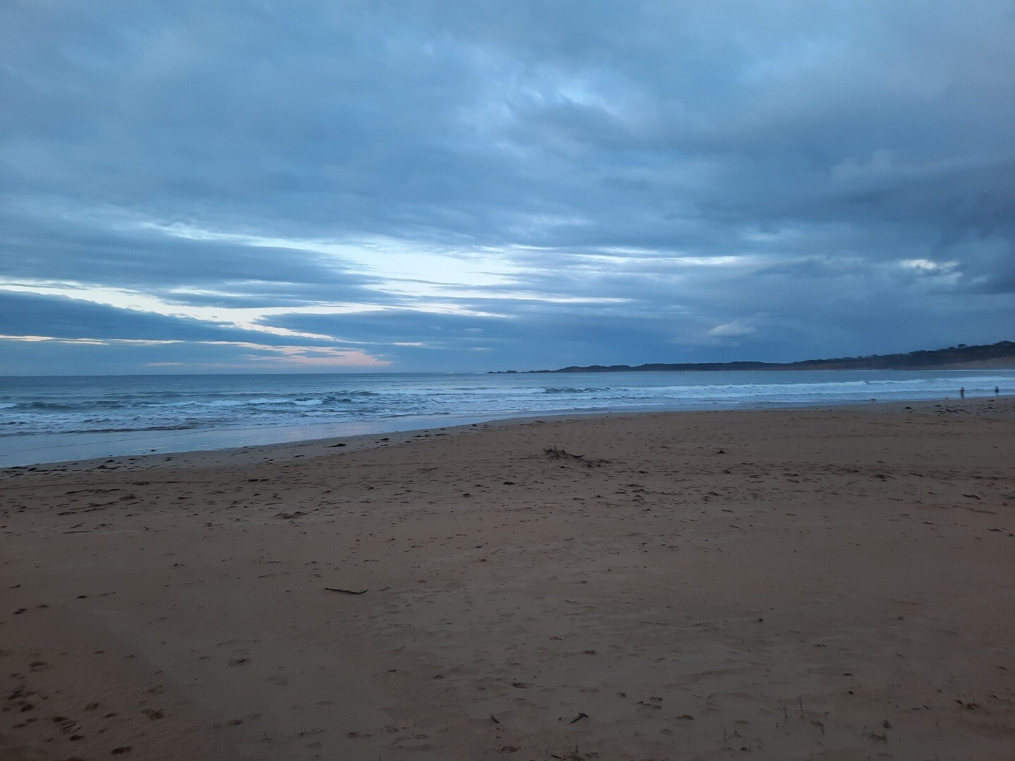
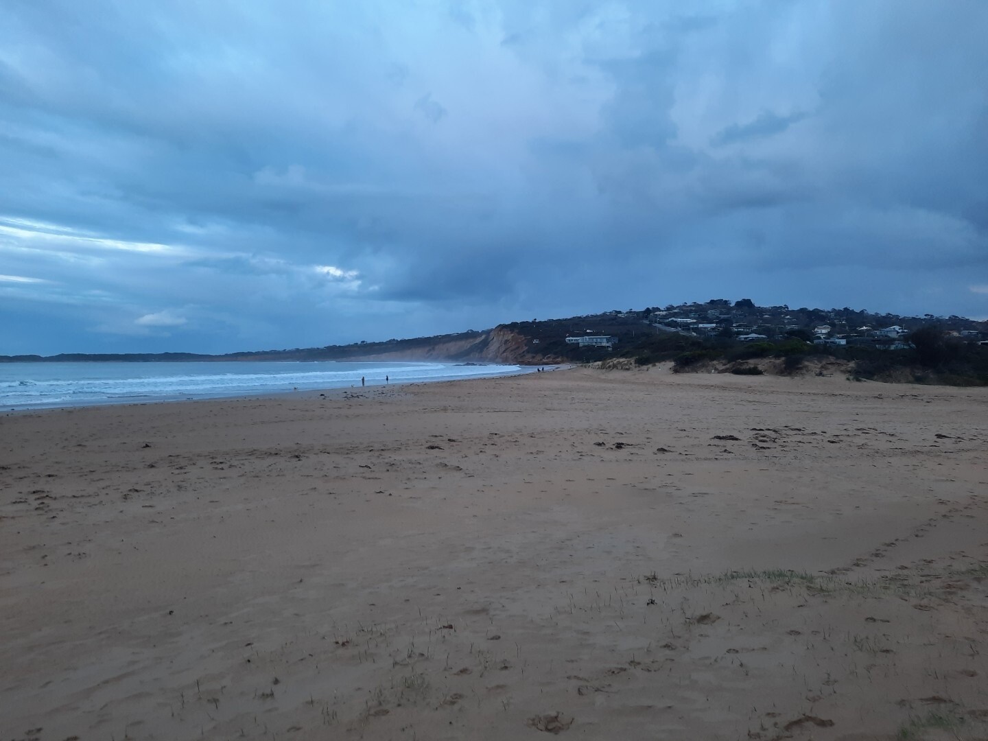
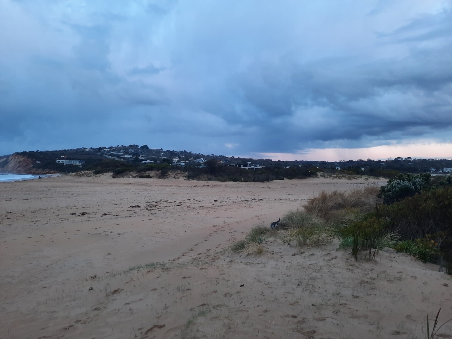
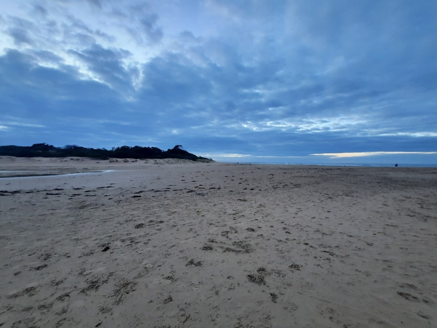
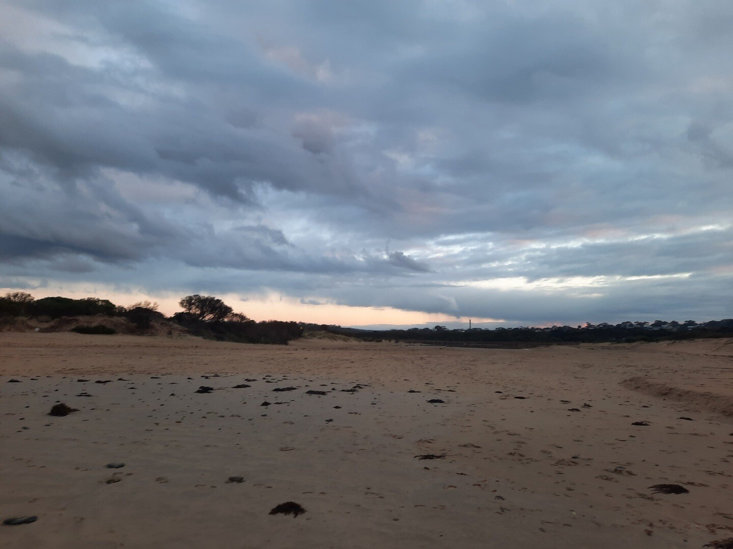
Major Flash Flooding Event - On 15 January 2026, the Wye River estuary experienced a severe flash-flood event following an intense thunderstorm over the upper catchment. Heavy rainfall fell over a very short period, with approximately 170–180 mm recorded within several hours, causing the river to rise extremely rapidly. The most intense rainfall and flooding occurred from late morning through the early to mid-afternoon, with peak floodwaters moving through the township and estuary during the afternoon. Fast-moving water overtopped the riverbanks, carrying large volumes of sediment, vegetation and debris, with some material flushed through the estuary mouth into the ocean. The flooding was driven by exceptional rainfall intensity over steep terrain, resulting in rapid runoff and minimal warning time. Hundreds of people, including residents and holiday-makers in caravan parks and low-lying areas, were affected, with emergency evacuations required to higher ground. Impacts relevant to the estuary included a sudden and major freshwater inflow, significant sediment and debris transport, likely short-term deterioration in water quality, and physical disturbance to the estuary channel and river mouth. https://www.abc.net.au/news/2026-01-16/flooding-great-ocean-road-victoria-wye-river-lorne/106232918 https://www.abc.net.au/news/2026-01-16/vic-what-caused-great-ocean-road-flash-flooding/106235904 https://www.abc.net.au/news/2026-01-16/wye-river-flood-castlemaine-harcourt-fires/106236018 https://www.thenewdaily.com.au/news/state/vic/2026/01/15/storms-victoria https://www.thenewdaily.com.au/news/state/vic/2026/01/16/flash-flood-carnage https://www.pedestrian.tv/news/victoria-great-ocean-road-flash-flooding-cars-swept-out-to-sea/ Georgie Custance |
|
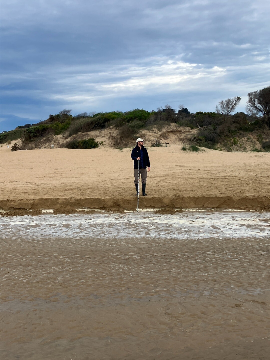
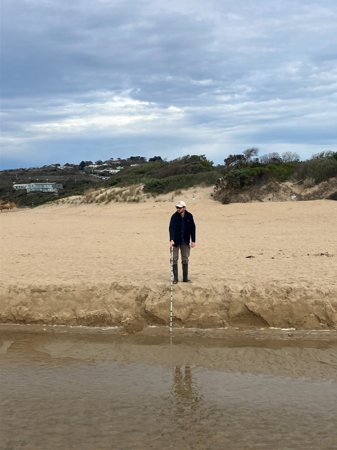
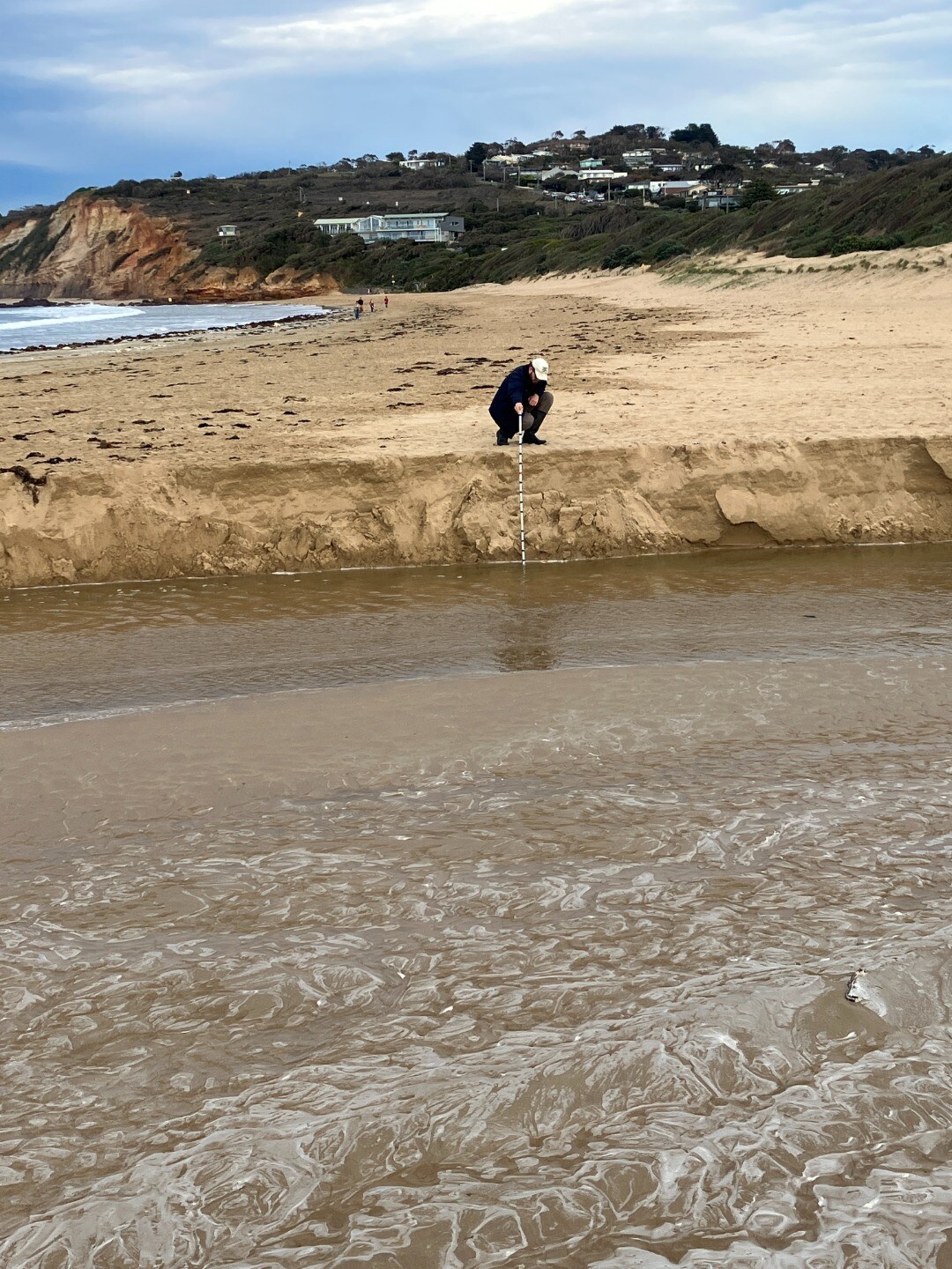
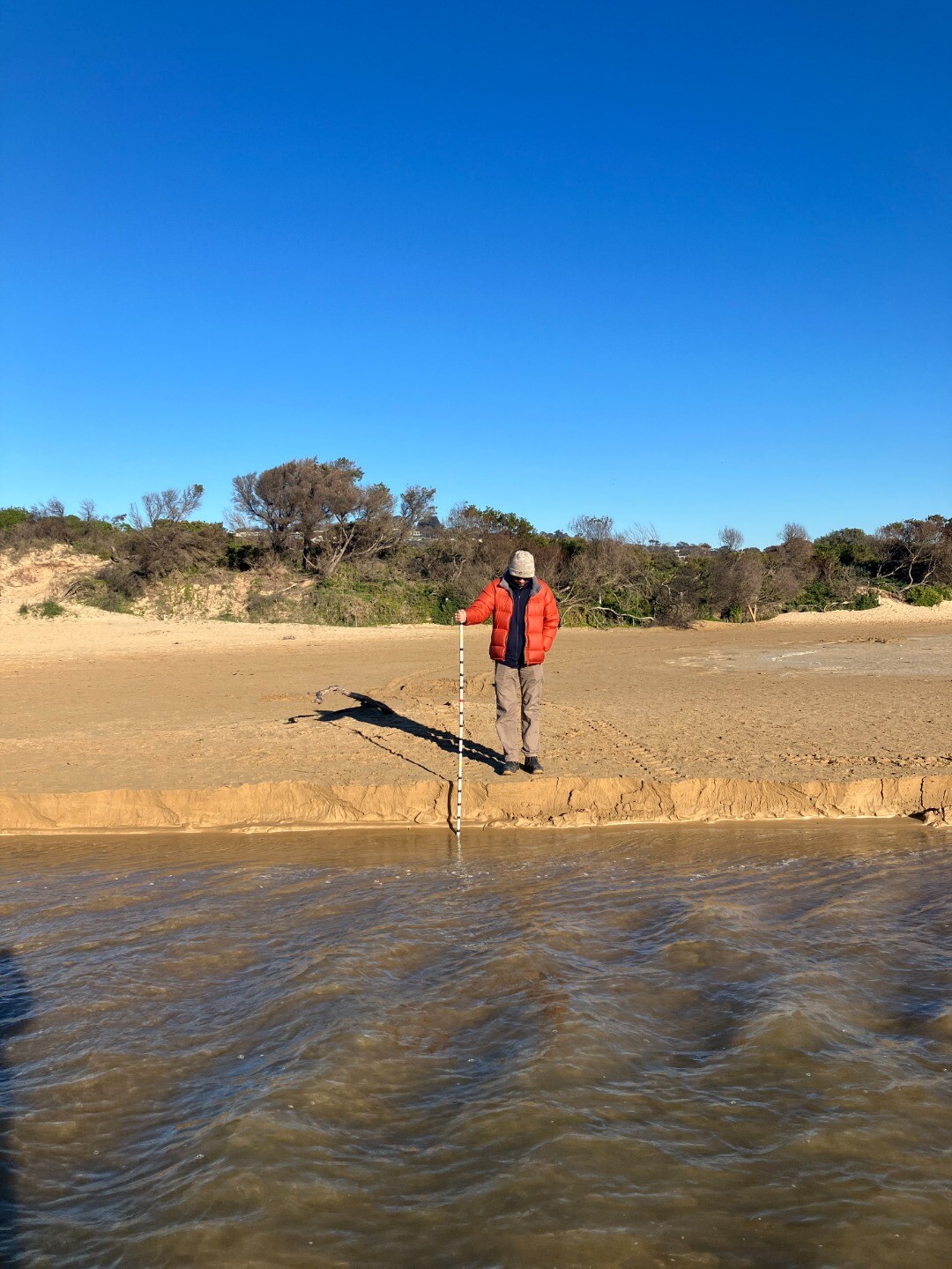
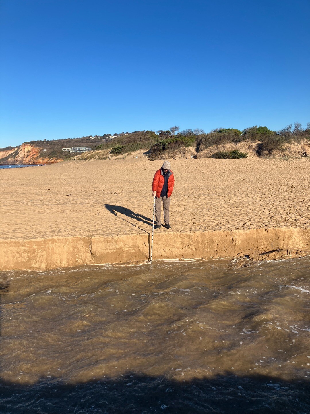
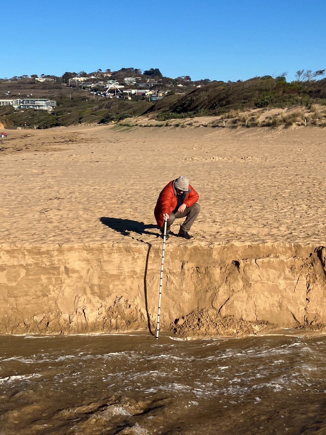
| 02-09-2025 |
Water level
      |
|
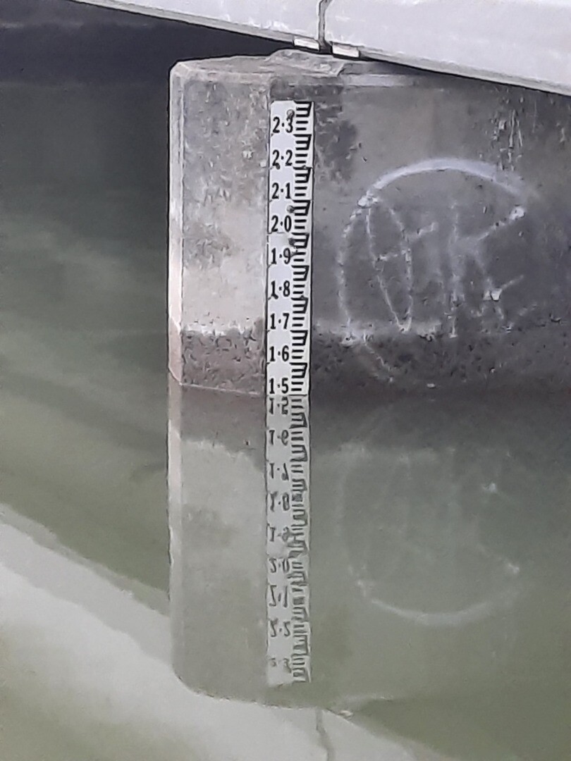
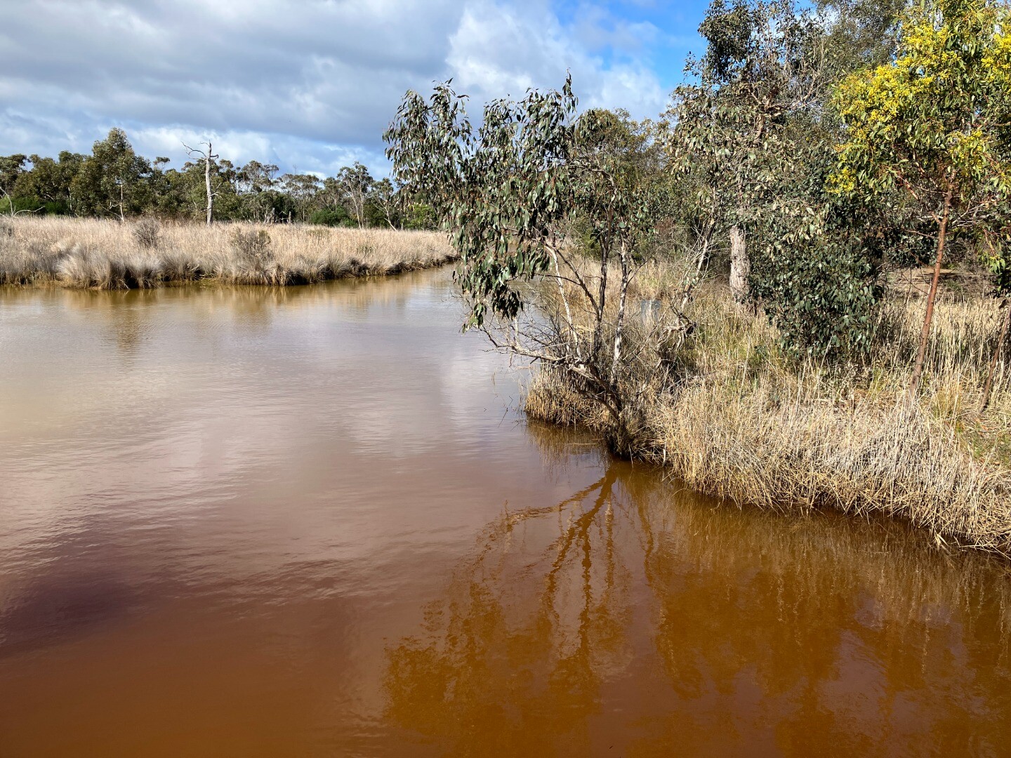
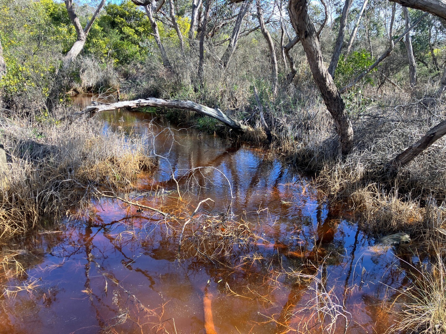
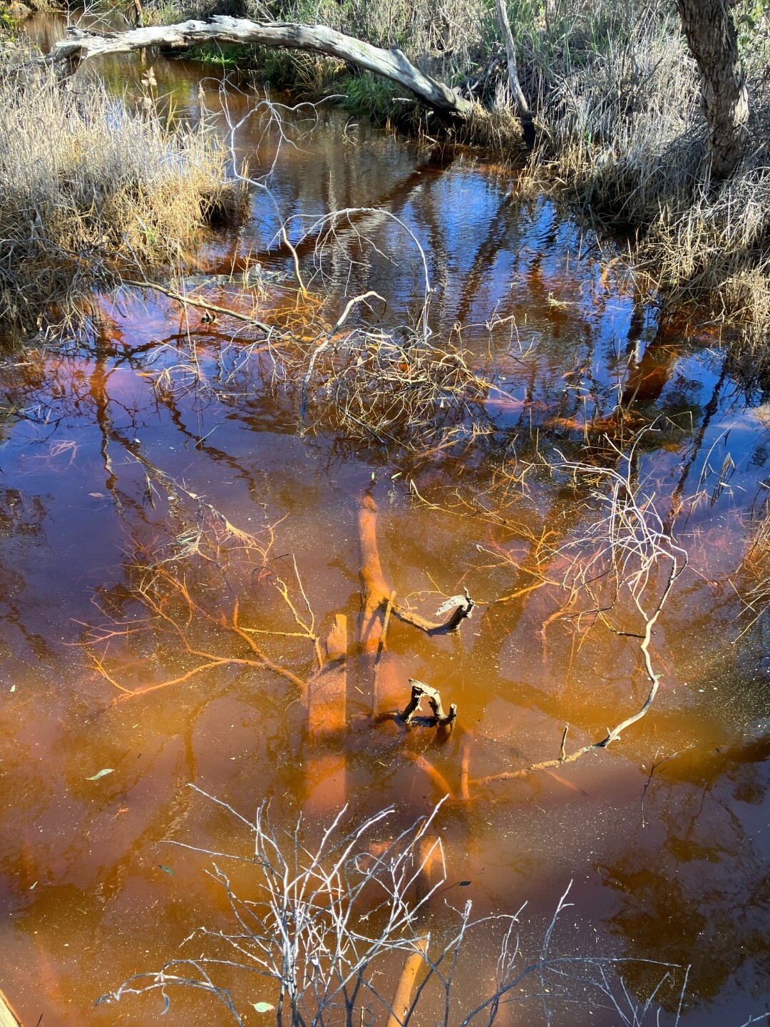
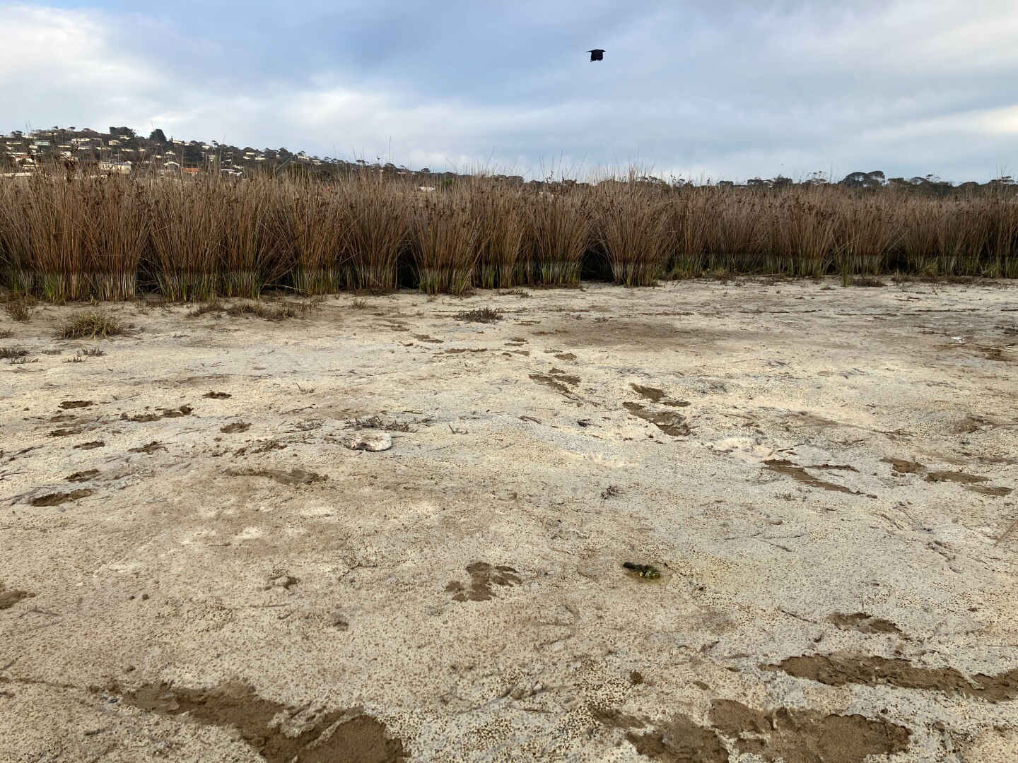
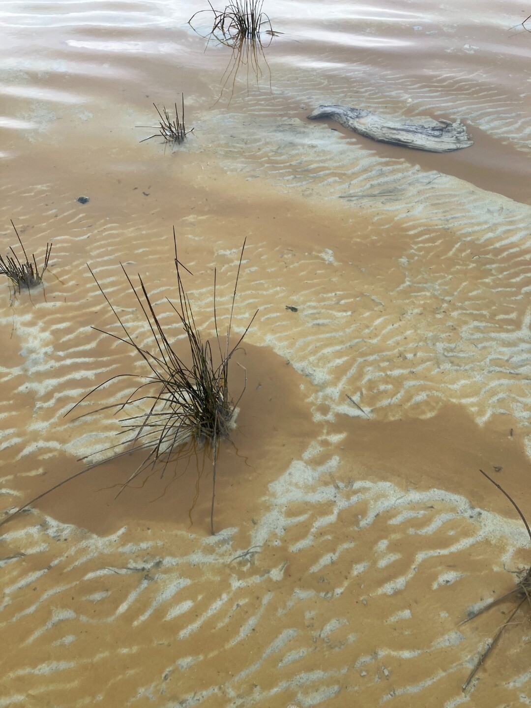
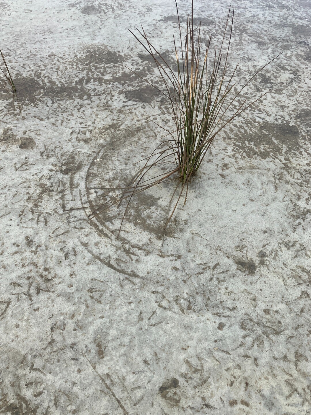
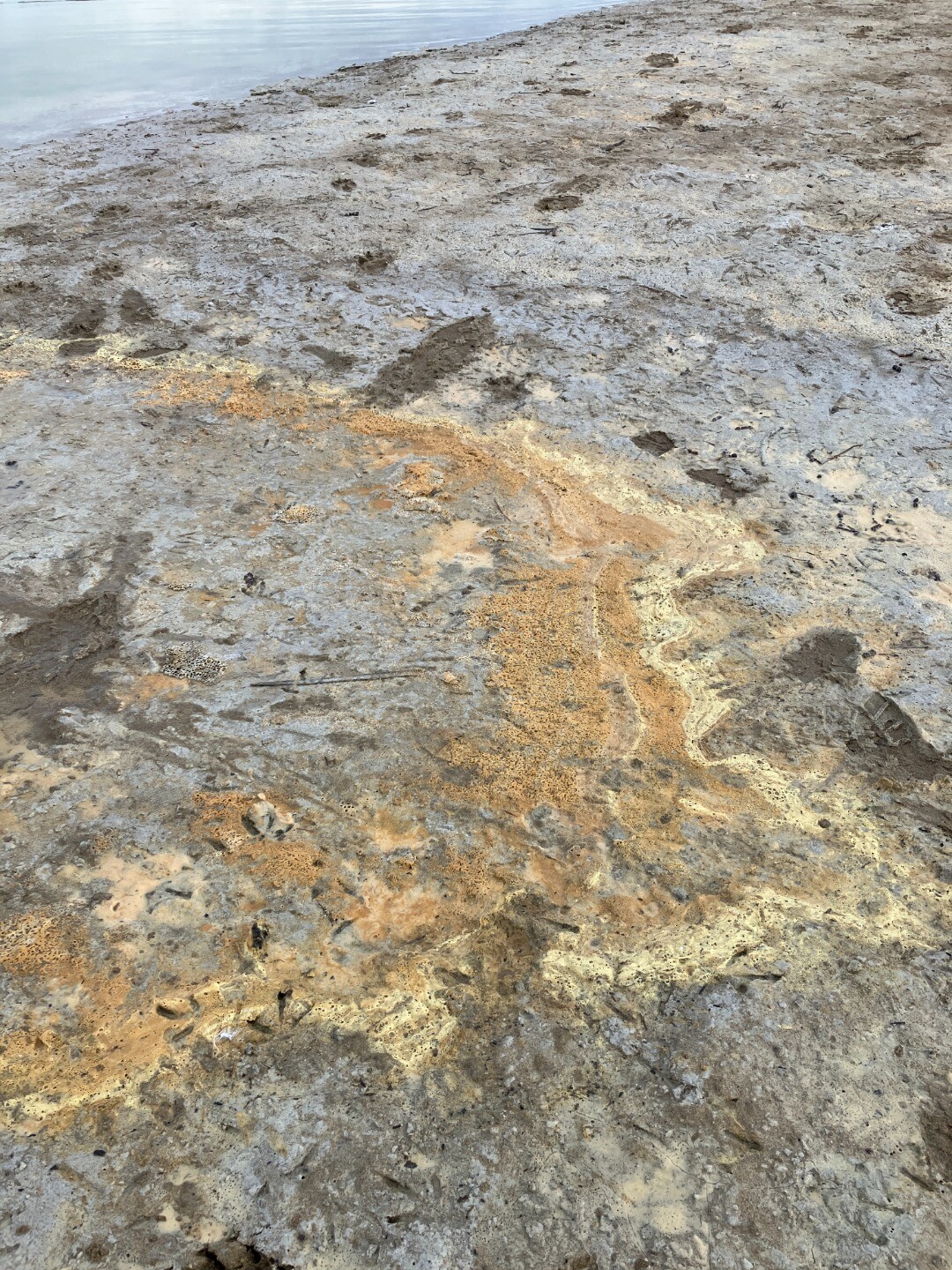
| 29-08-2025 |
EstuaryWatch Event Location: north side of Coalmine Road monitoring site 5 Dark red colouration of suspended solids in water. Seen flowing under Coalmine Road and detected when monitoring site 5. (pic 2) pH reading taken on this northern site of Coalmine Road = 3.1. Regular Estuary watch reading for site 5 will be reported as usual in separate report. This colouration also seen in shallow water near the middle of the estuary system as marked in the map. (pic 3) Jane Rollinson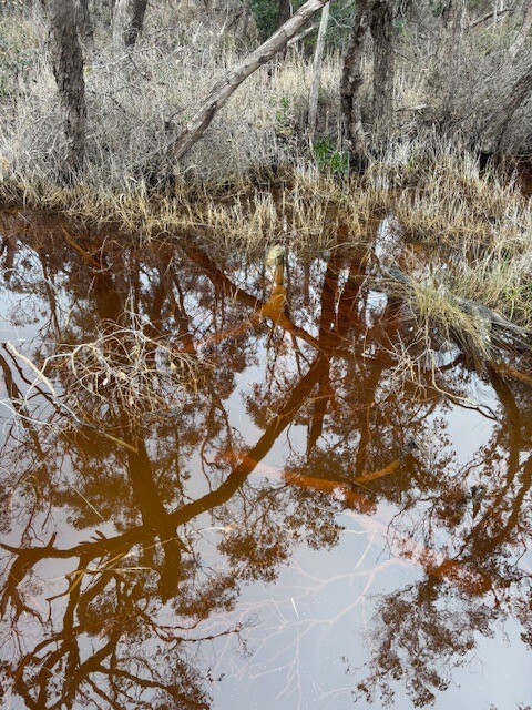 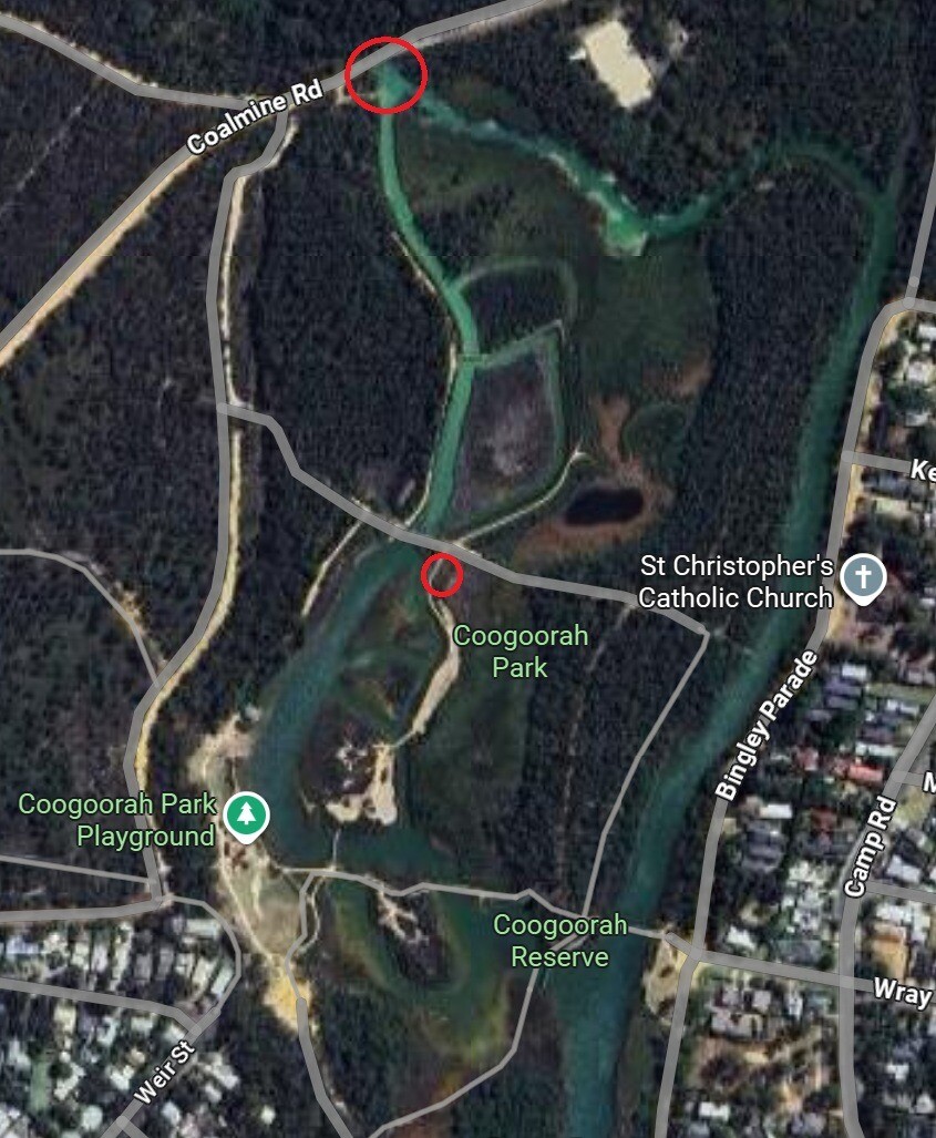 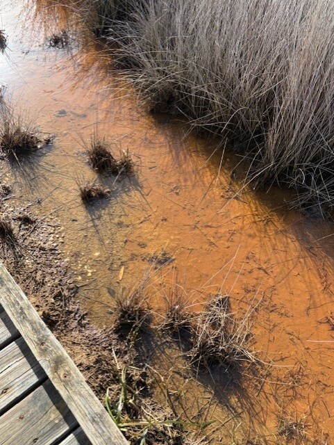 |
|
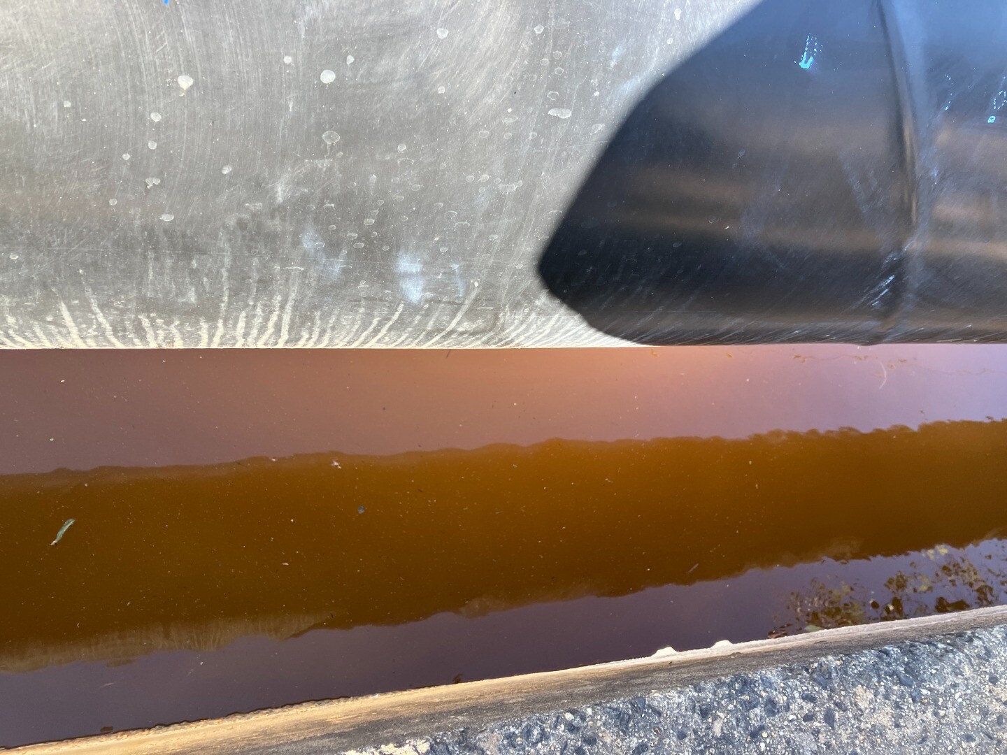
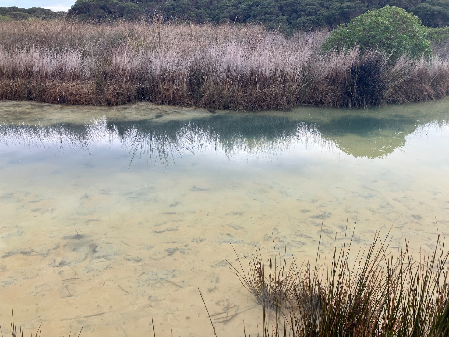
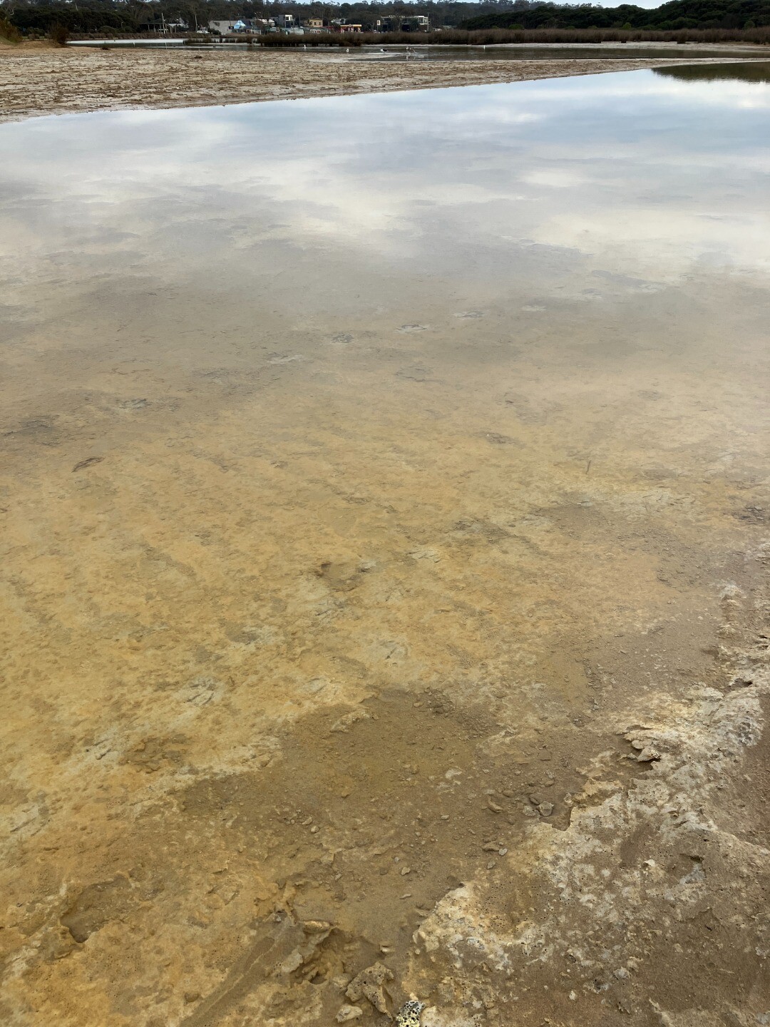
| 29-08-2025 |
EstuaryWatch Event Extra pH readings taken at water body known as the Duck Pond using Estuary Watch equipment. Observed red residue on boardwalk where that part of the boardwalk had previously been submerged in water due to high water levels in the estuary. (Pic 1) Water colour different in both samples. This water body is a distinctly different colour that the variations seen in the rest of the estuary system. Depth of water body estimated at 0.75m (water sampling stick used to reach bottom). pH of top water sample 5.1 (pic 2) pH of bottom water sample 3.3 (pic 3) Jane Rollinson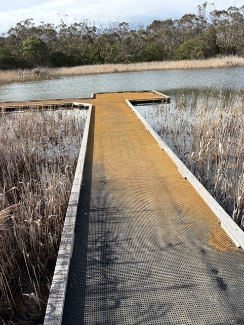 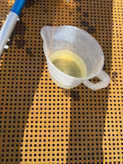 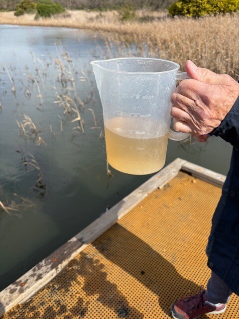 |
|
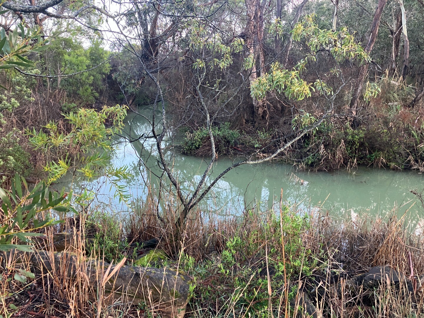
| 27-08-2025 |
water quality
         |
|
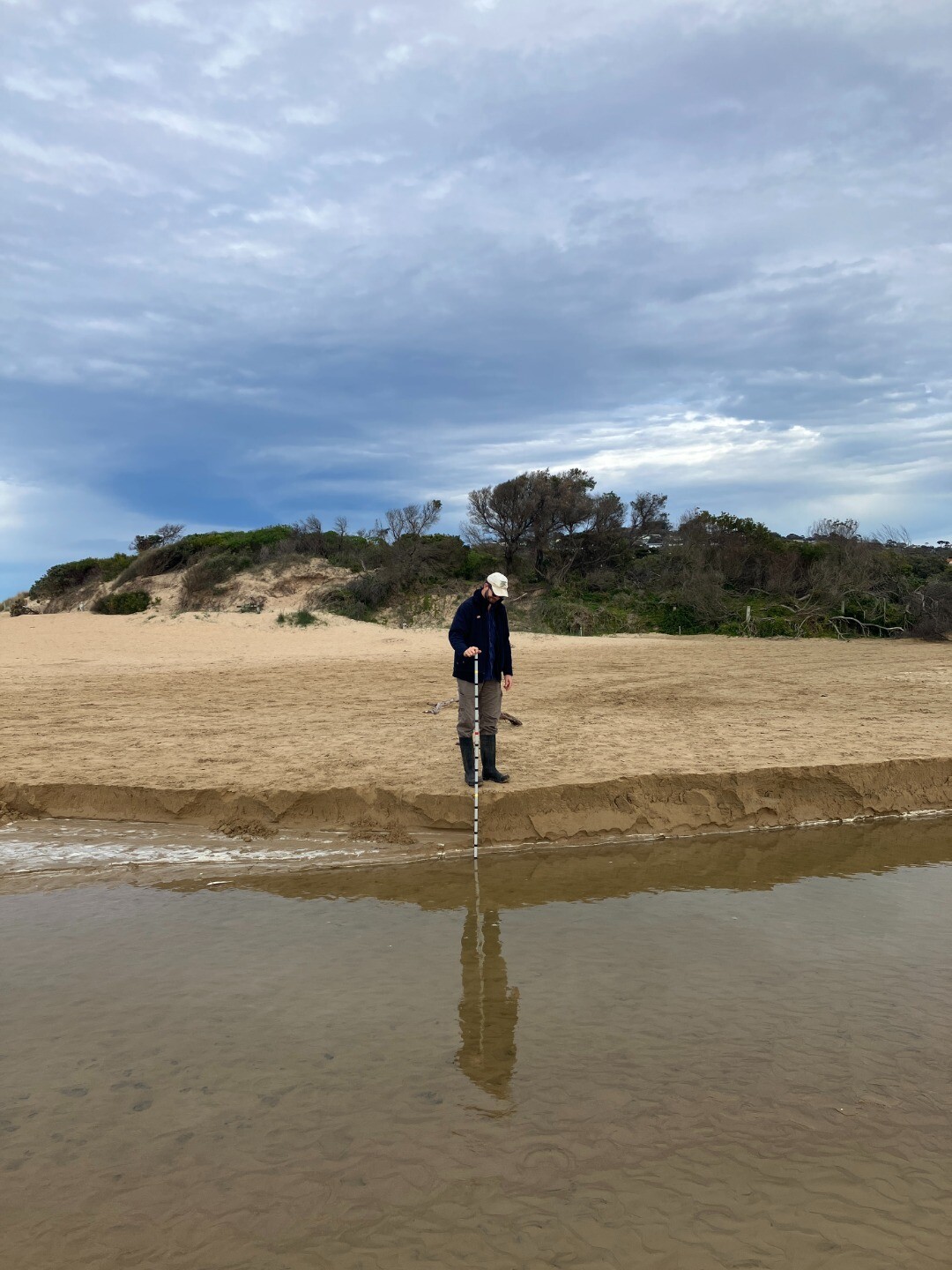
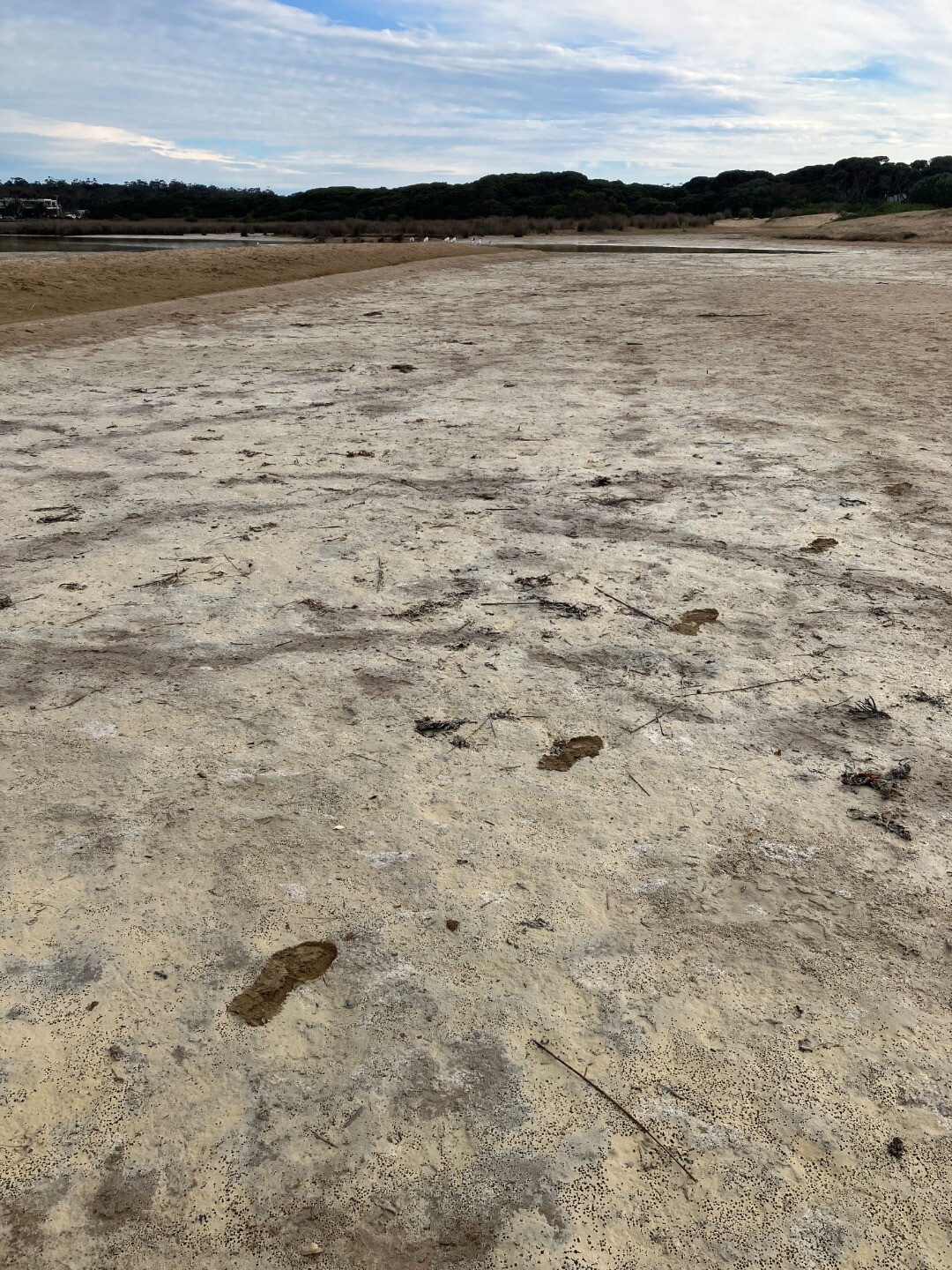
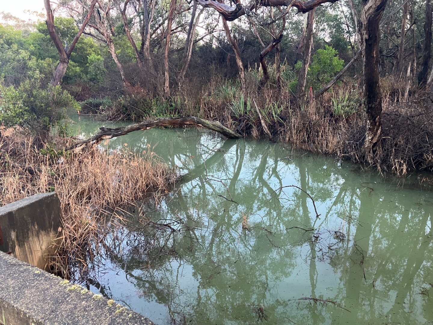
| 25-08-2025 |
Water level
               |
|
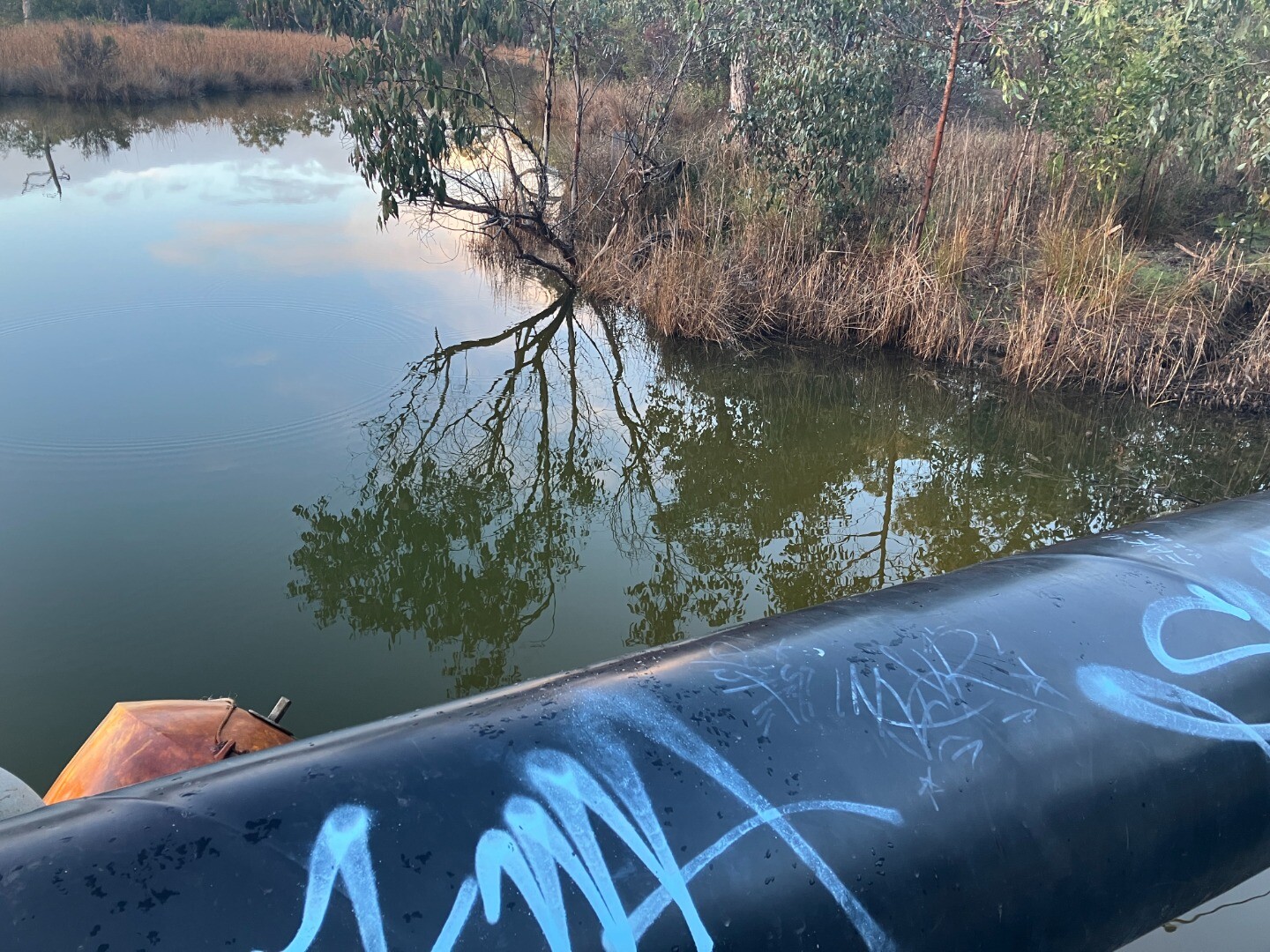
| 22-08-2025 |
Water level
                  |
|
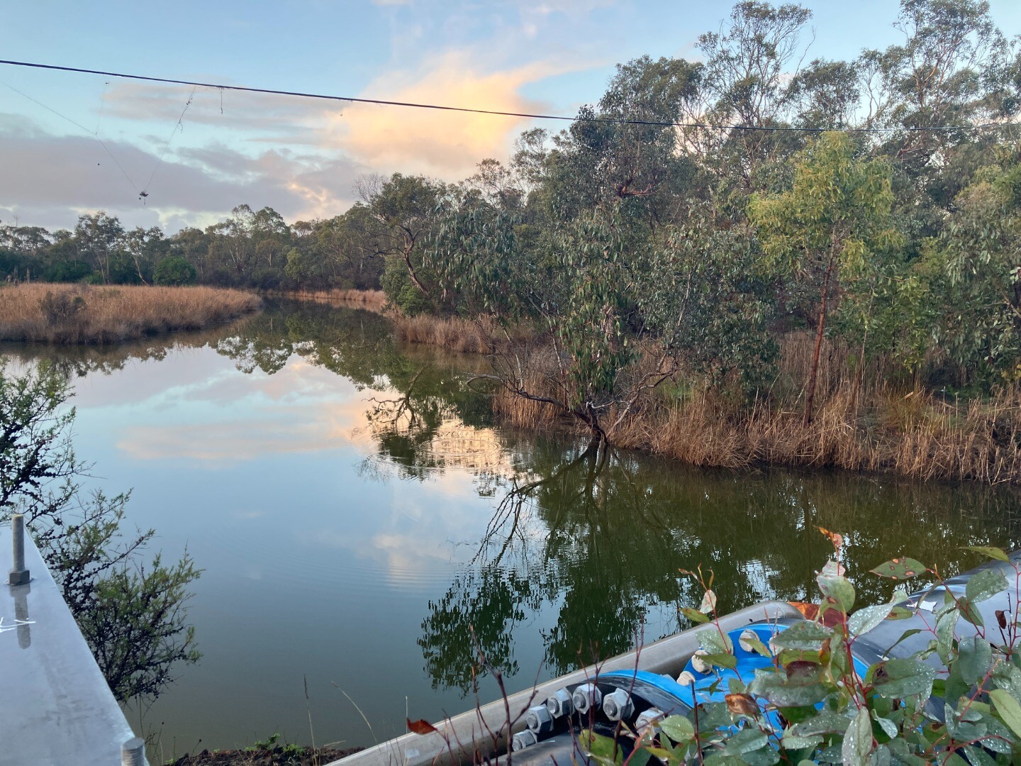
| 21-08-2025 |
Water level
      |
|
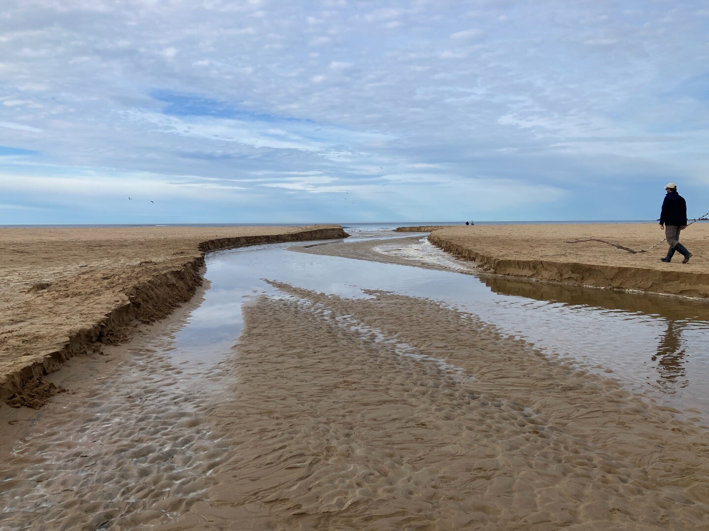
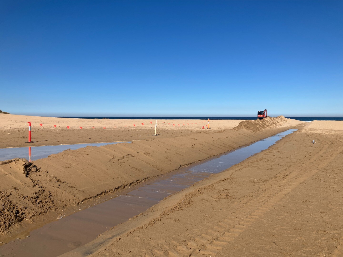
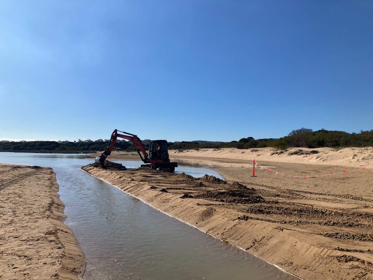
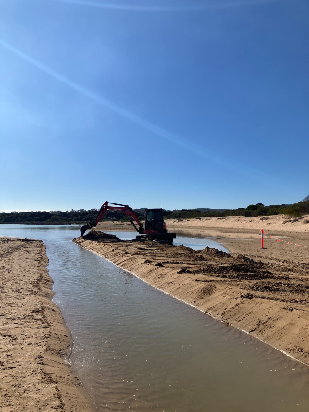
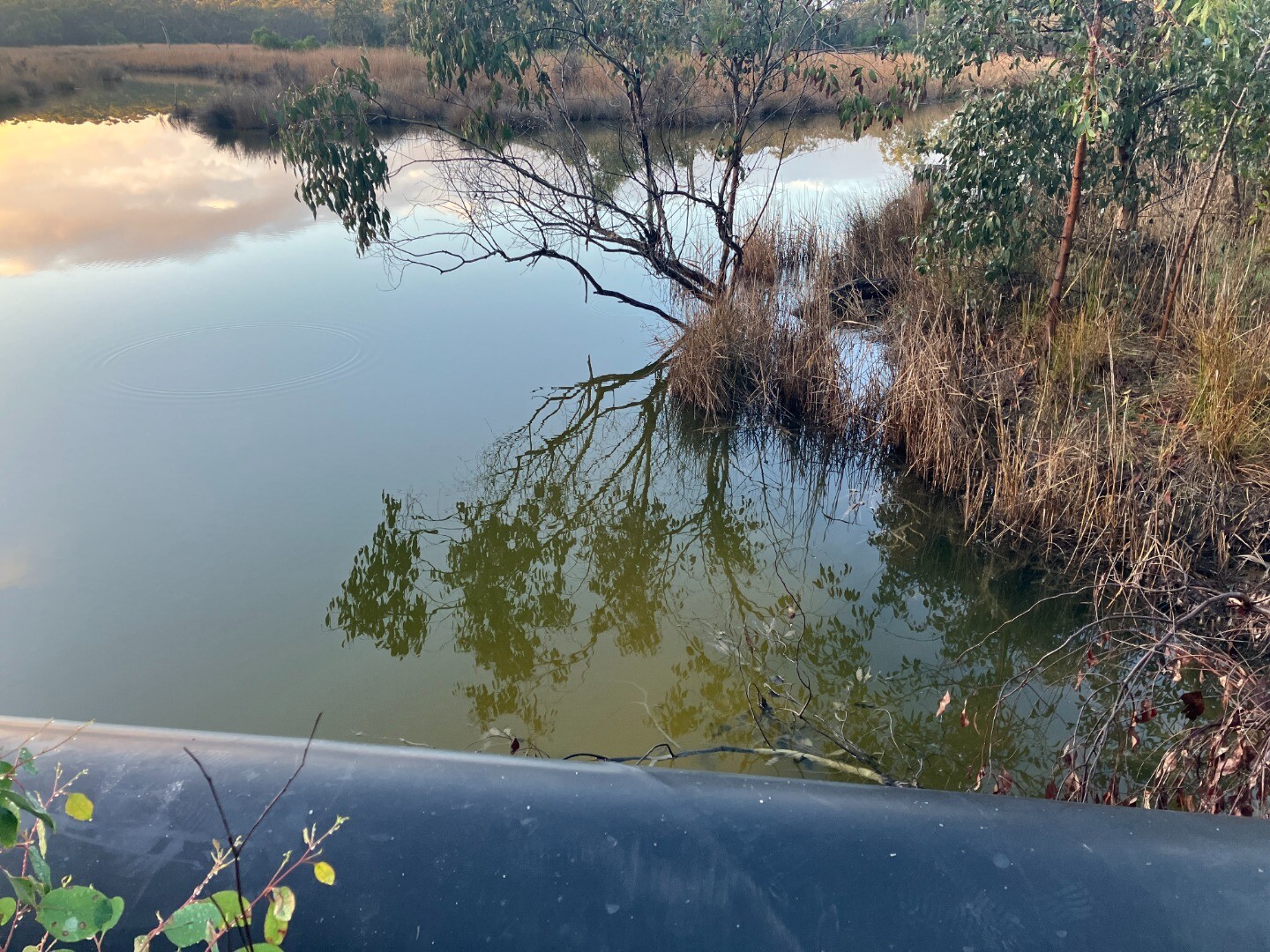
| 20-08-2025 |
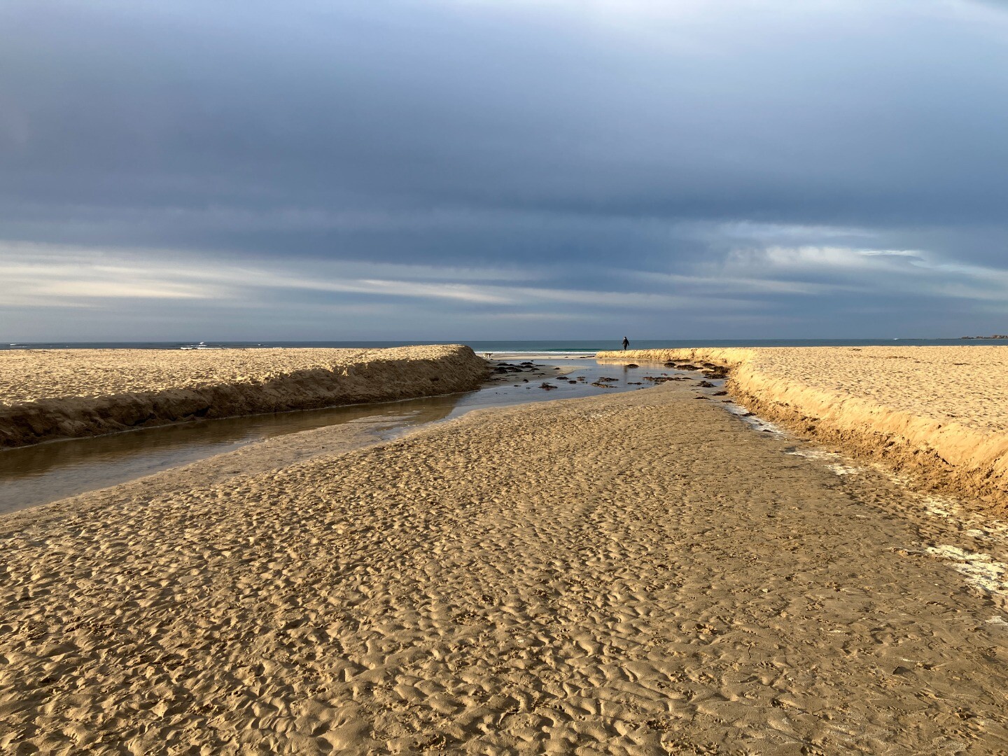
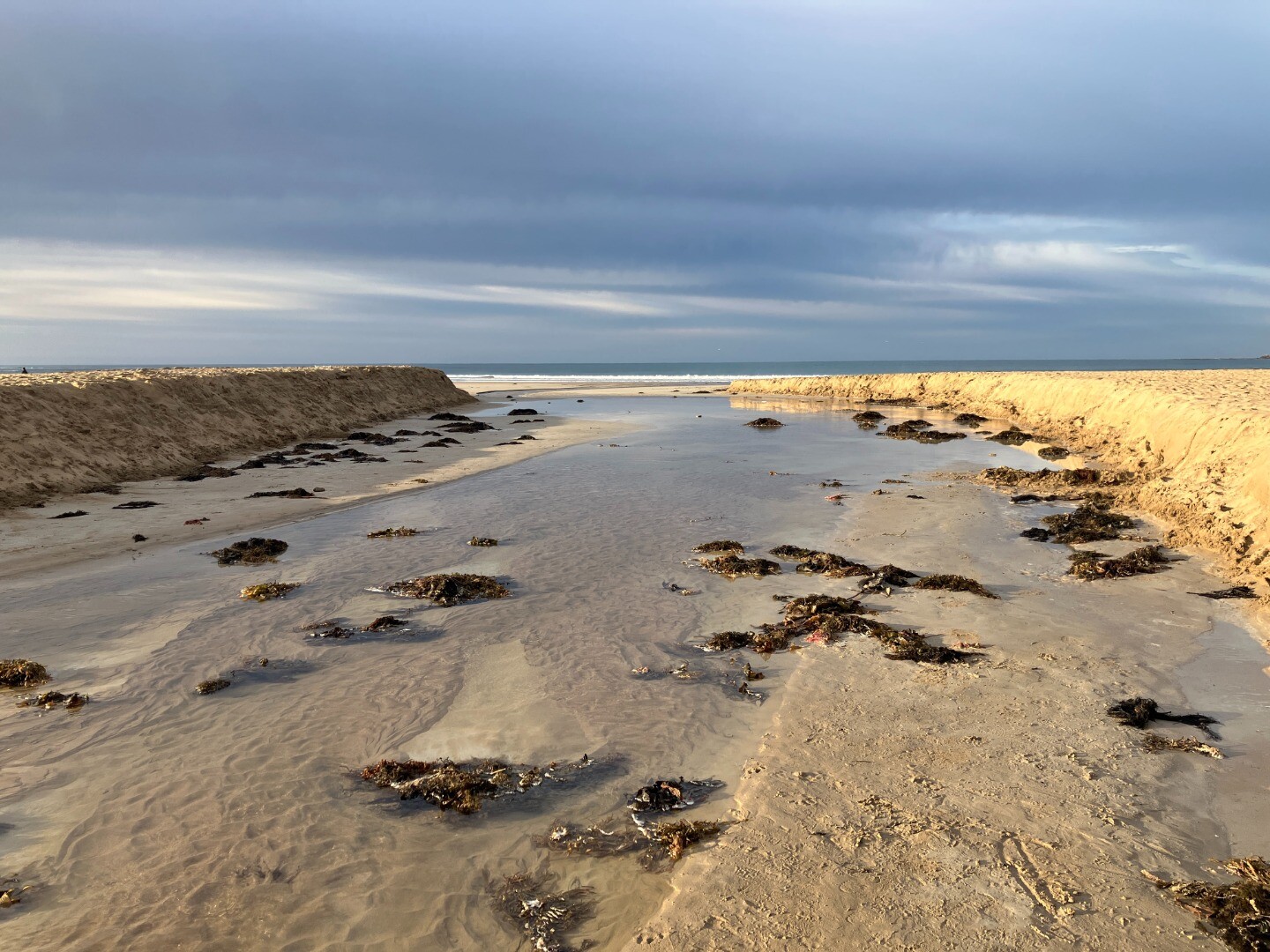
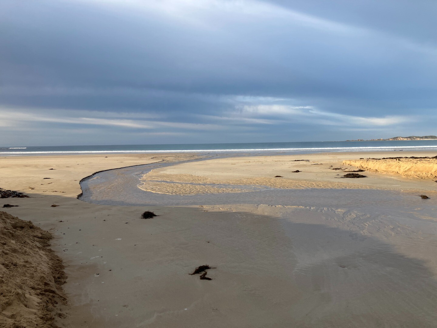
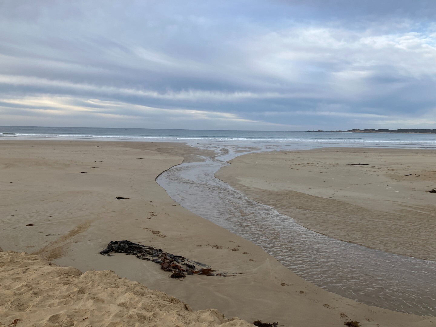
Estuary Entrance Opening
   |
|
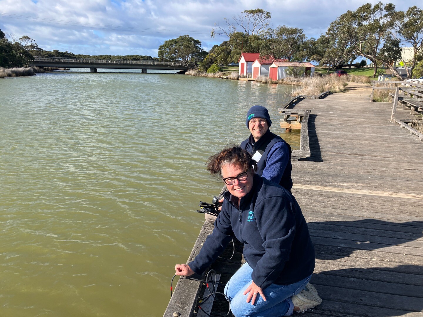
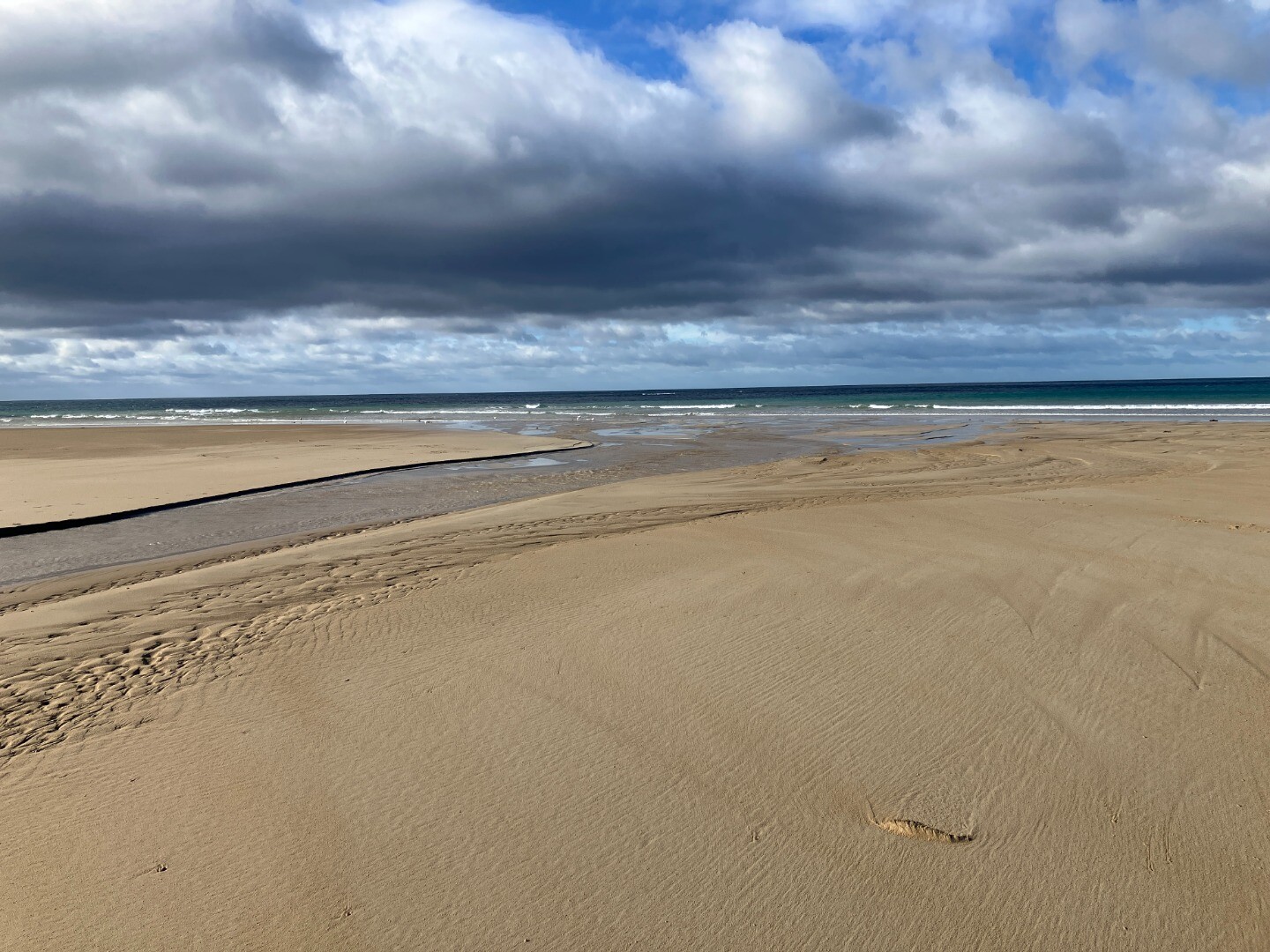
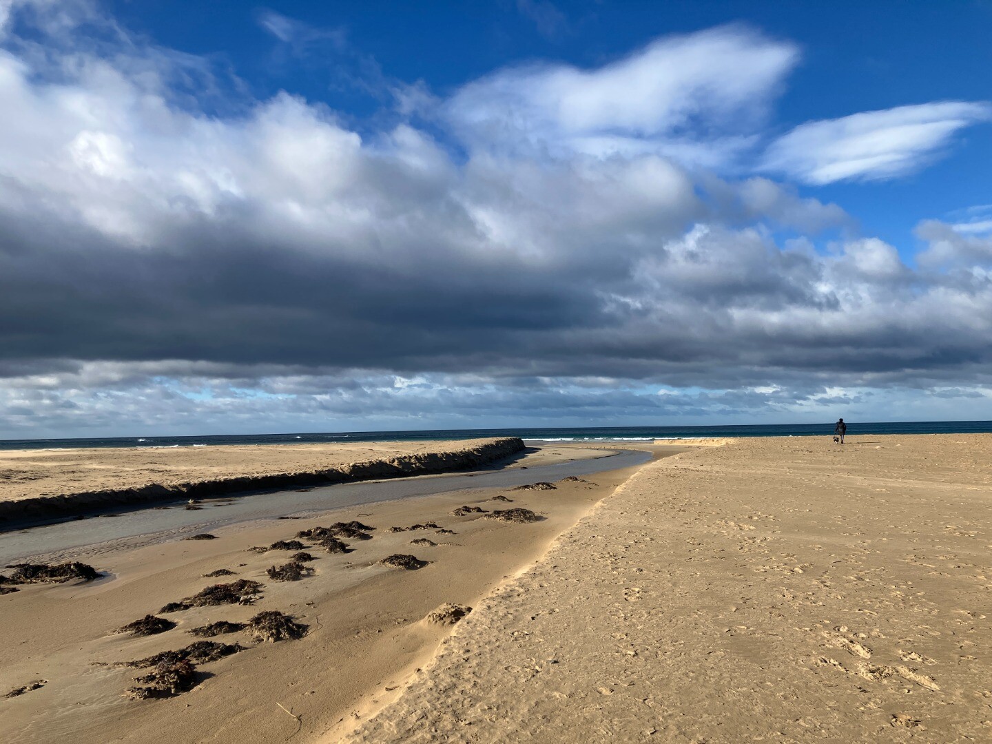
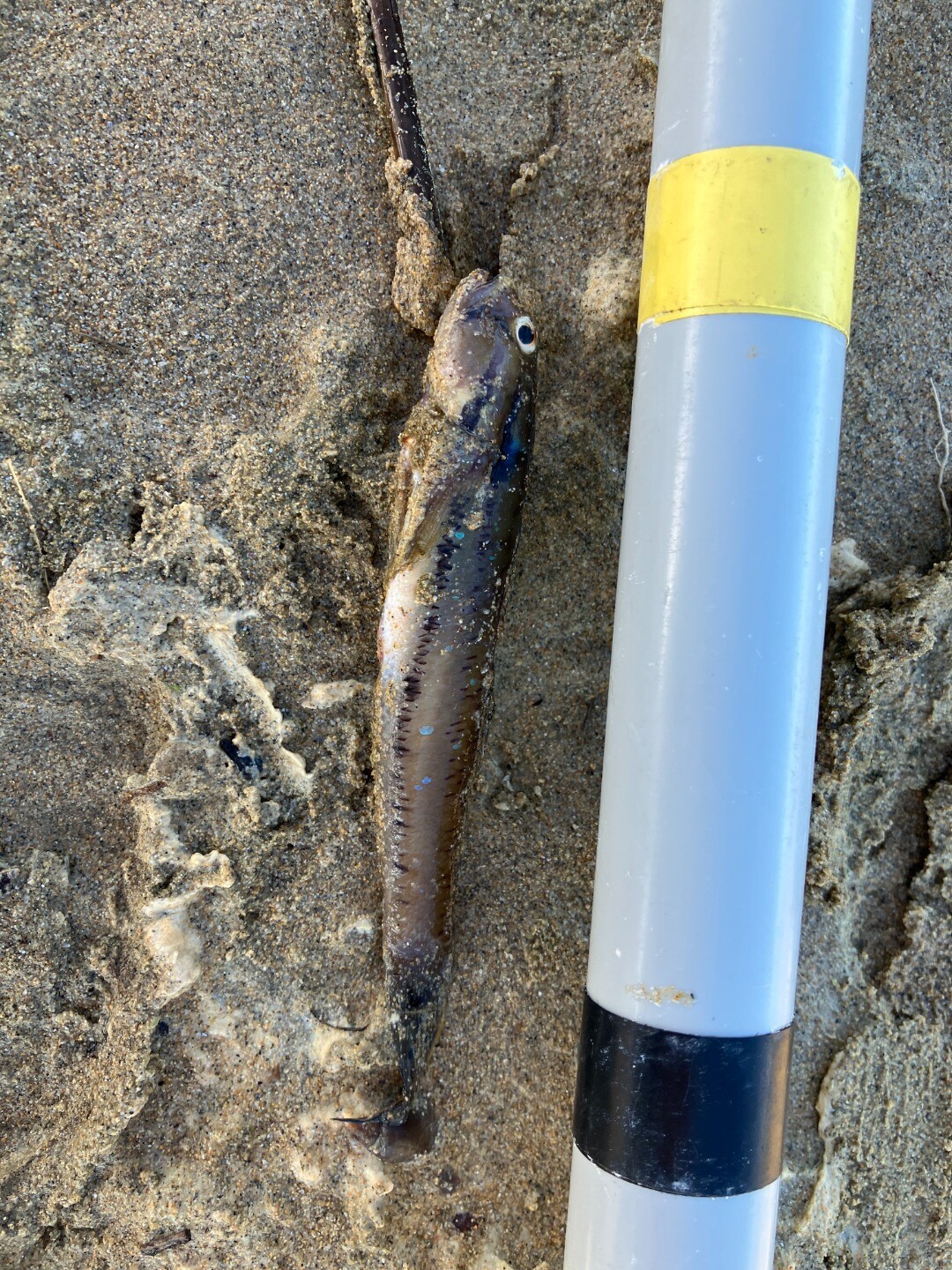
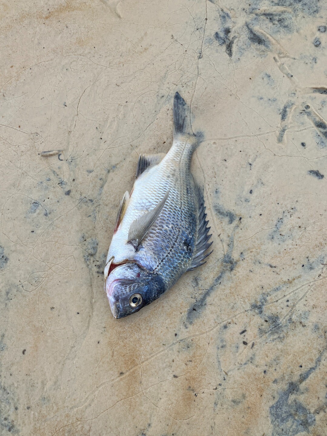
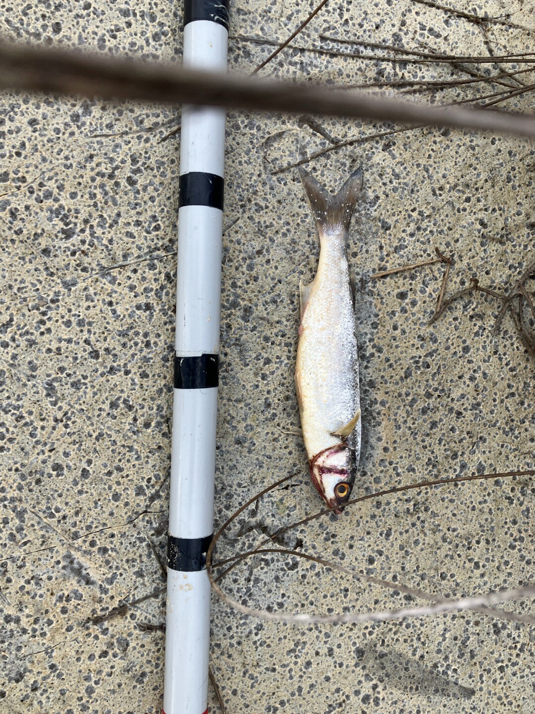
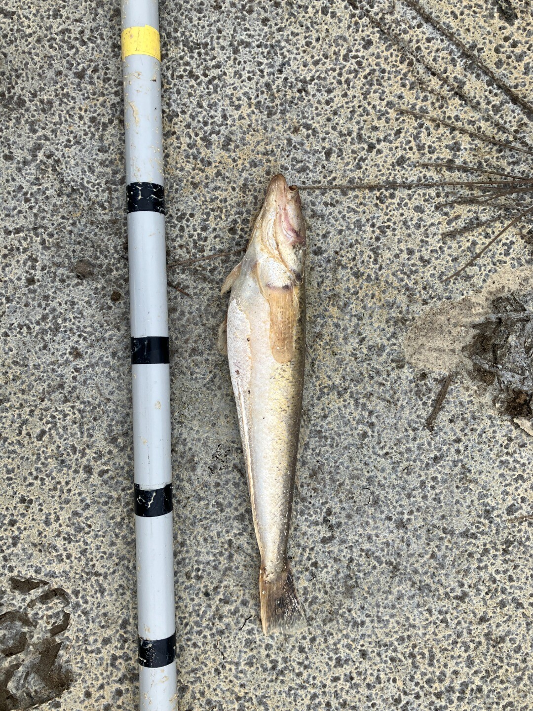
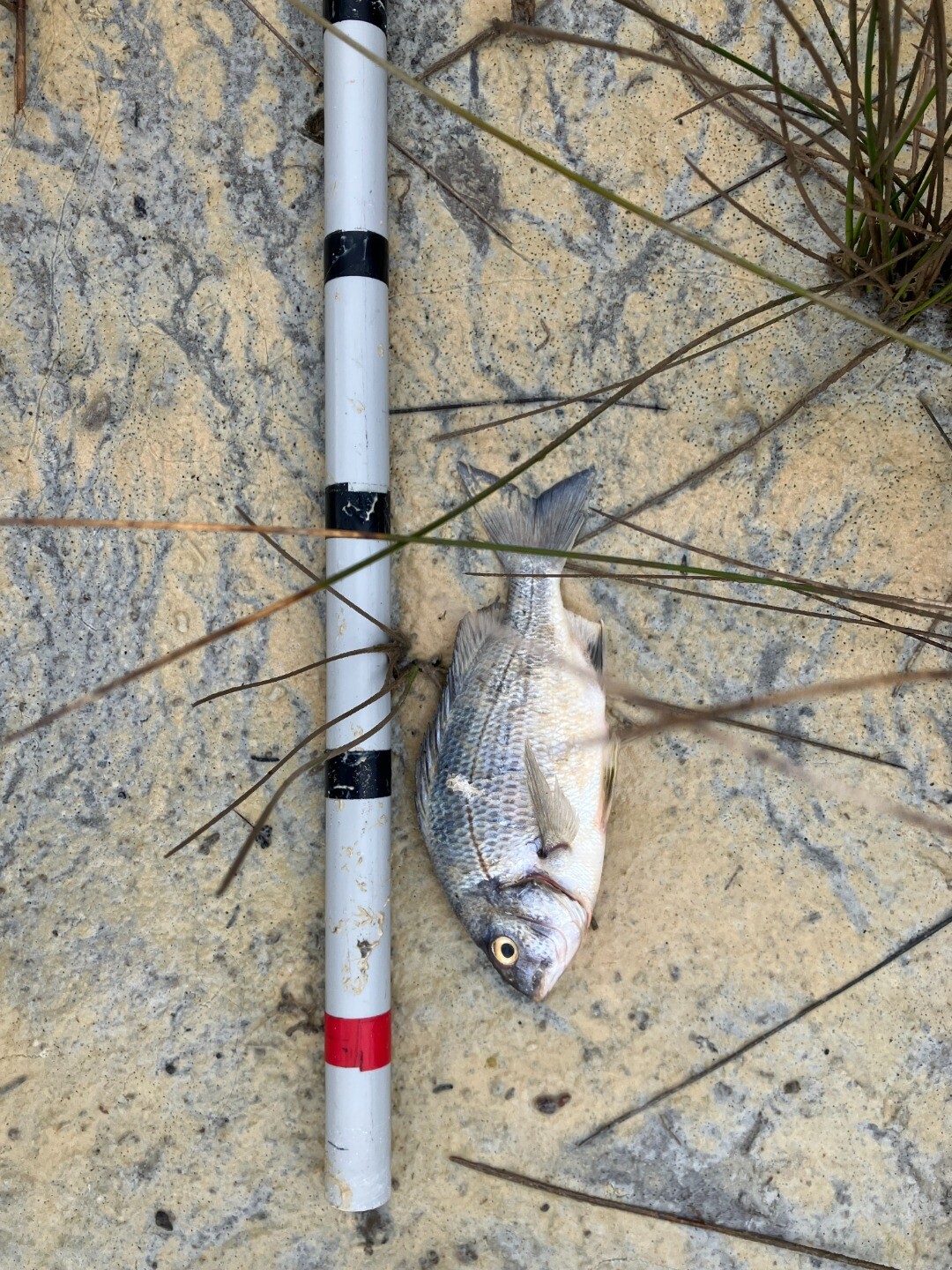
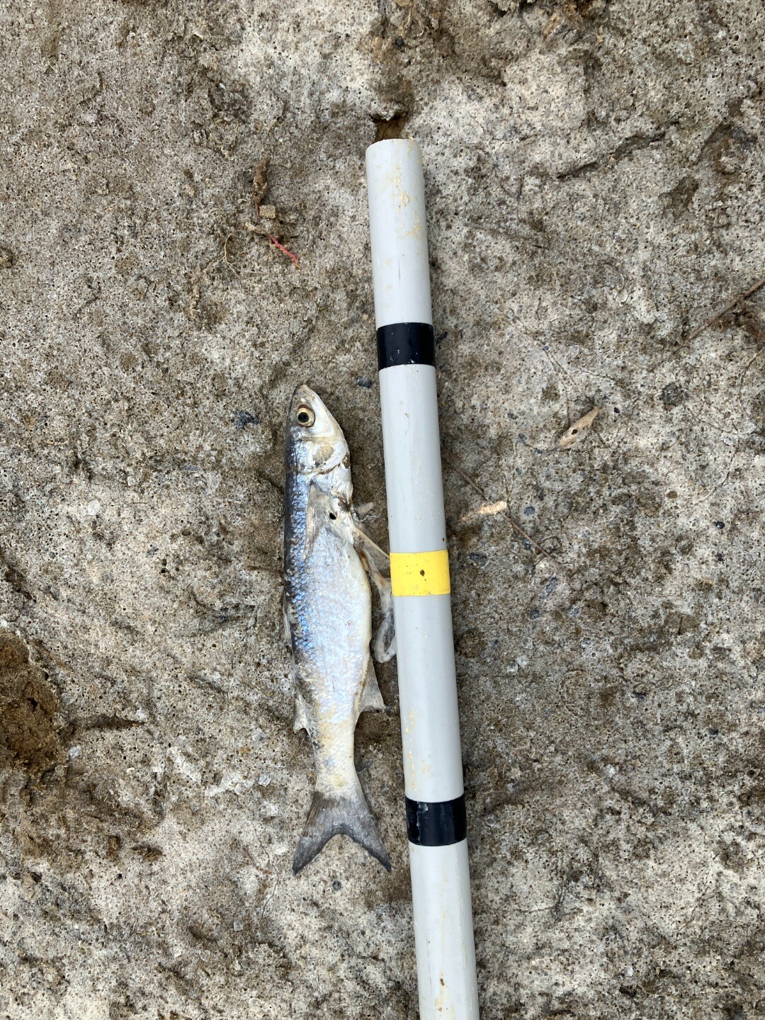
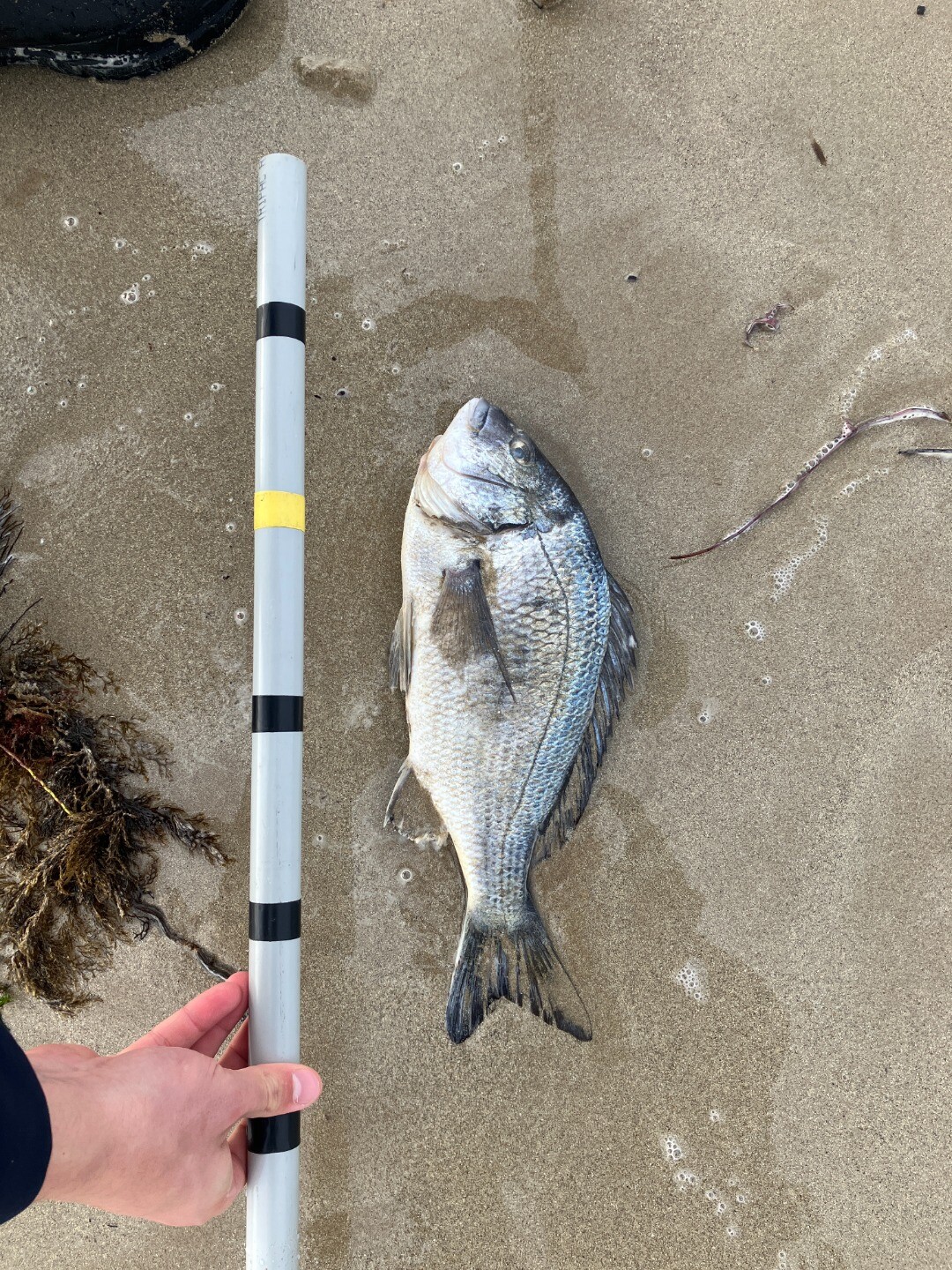
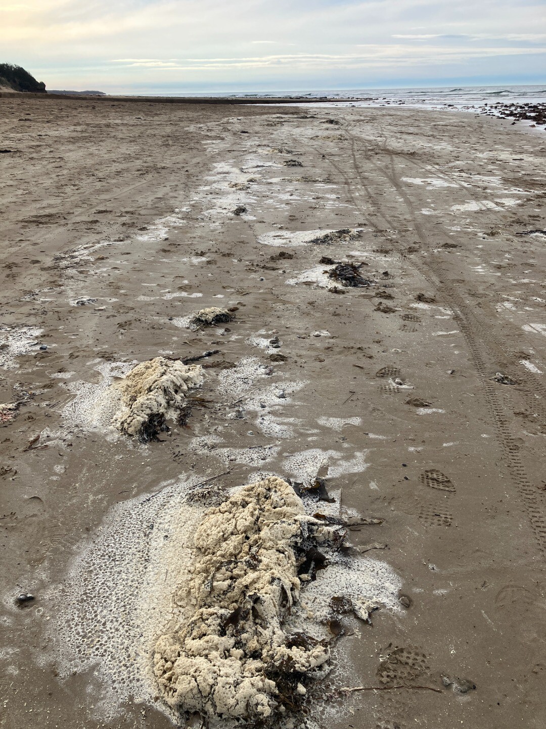
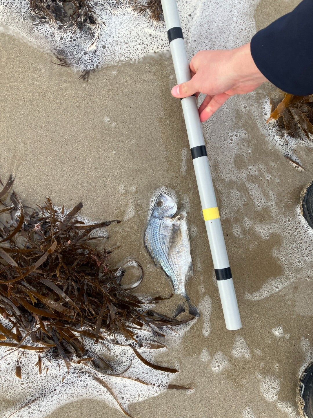
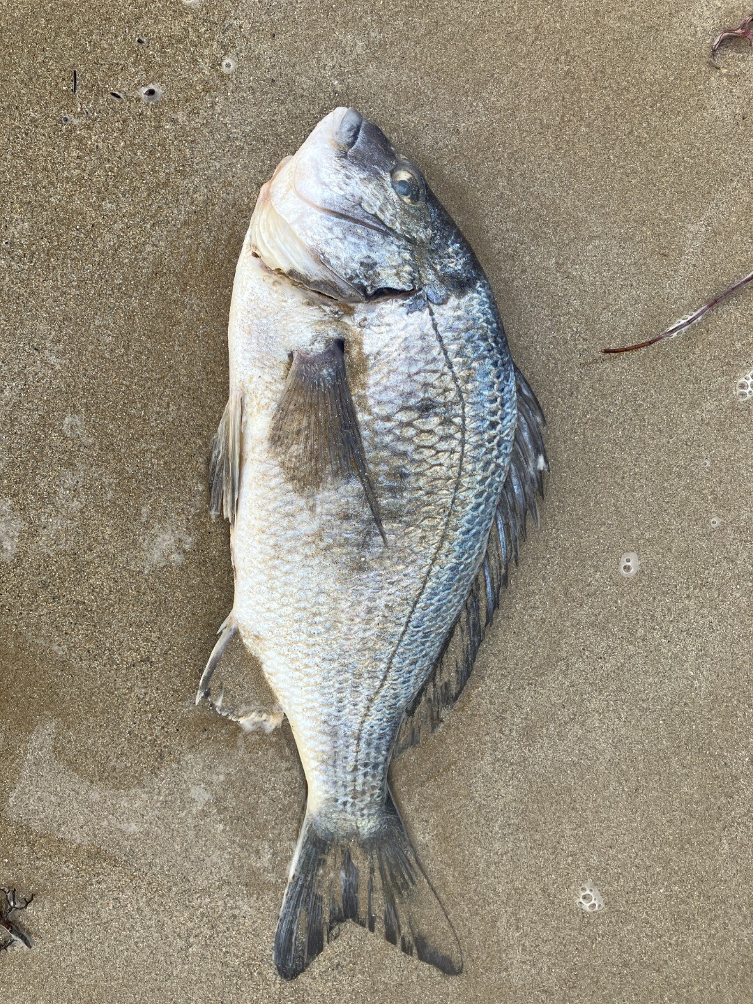
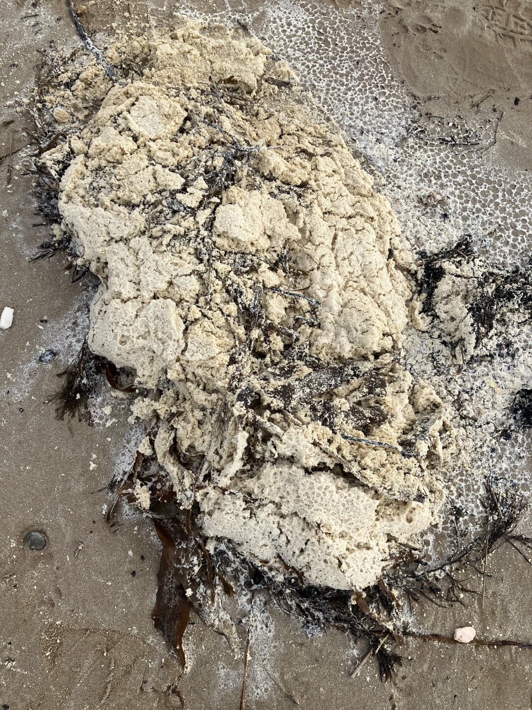
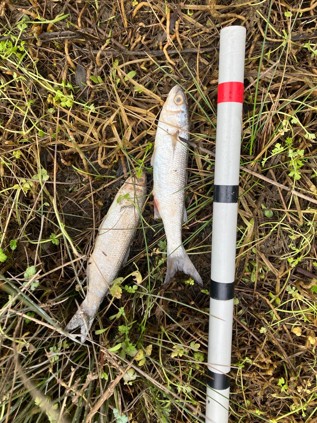
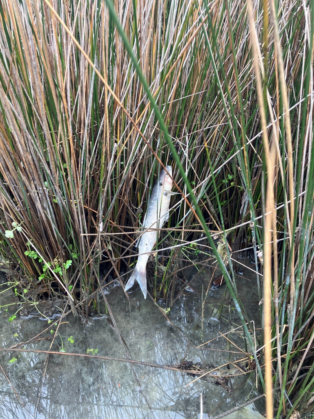
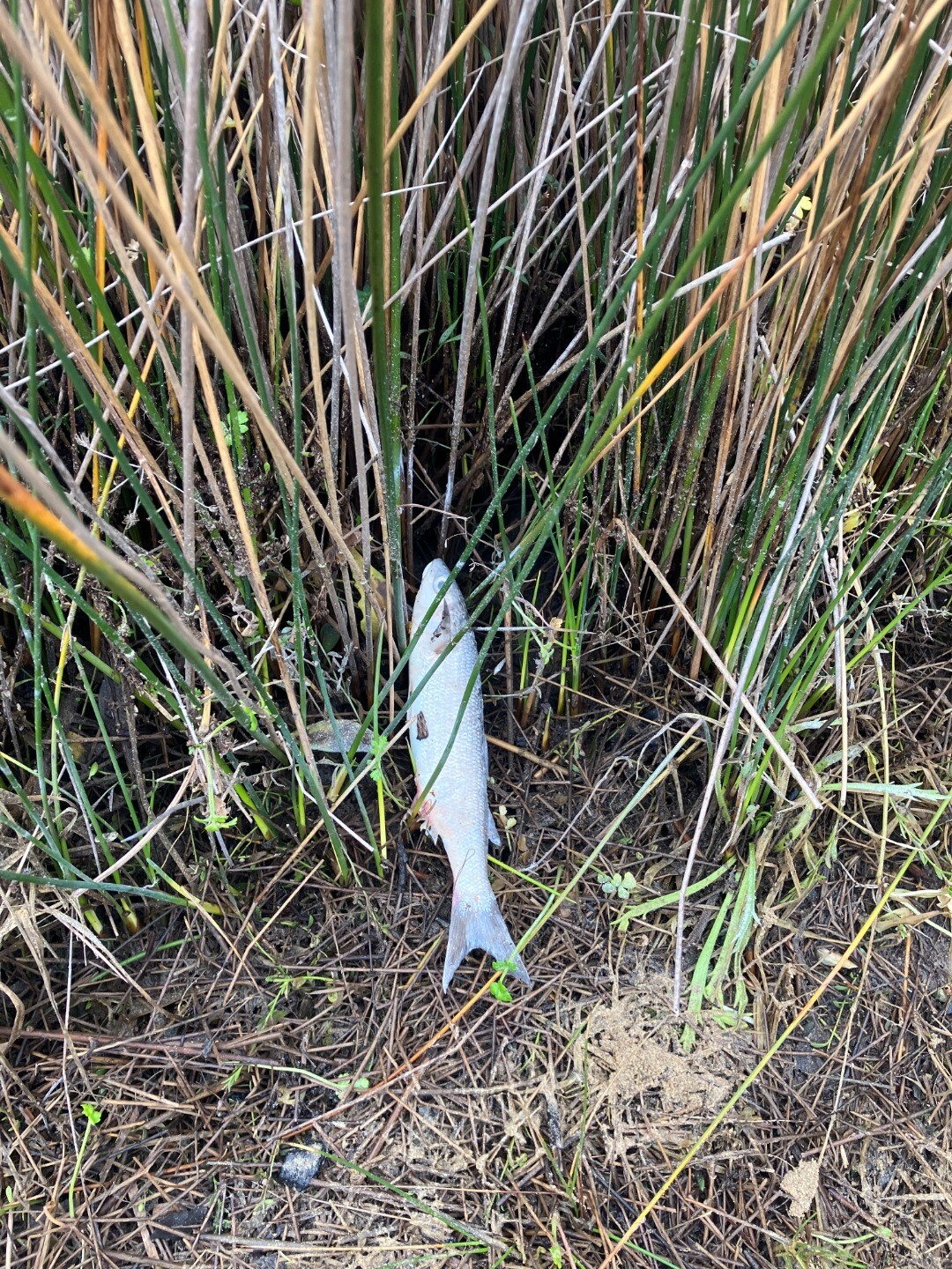
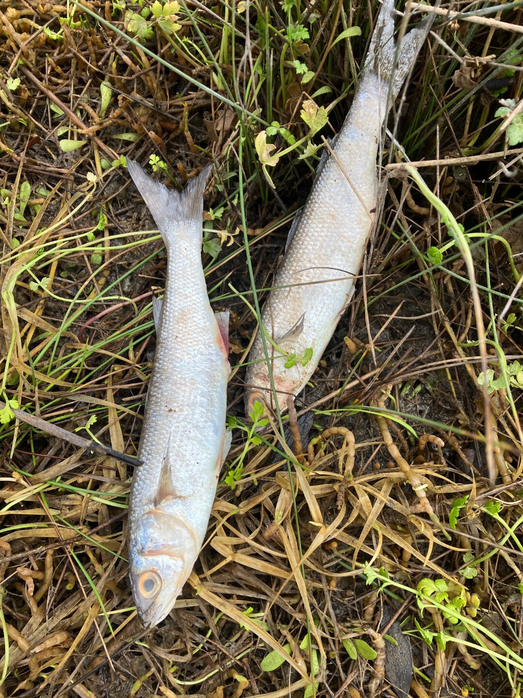
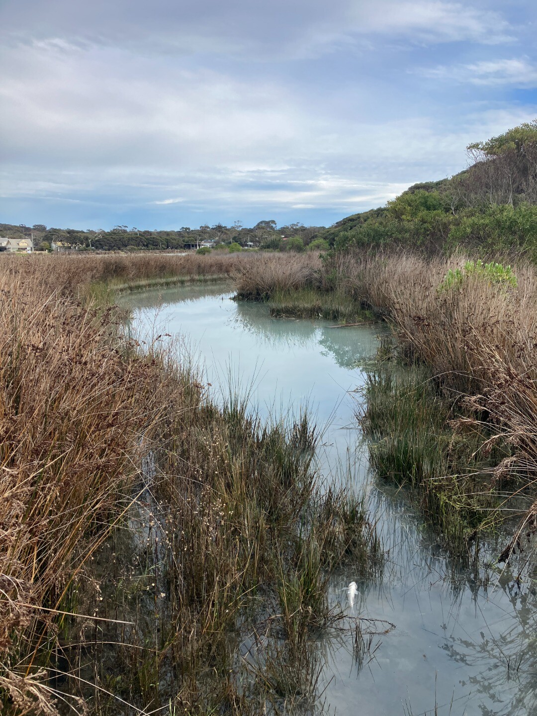
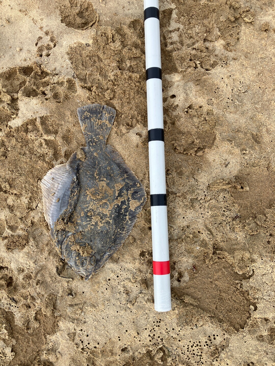
| 05-08-2025 |
Fish
Rose Herben   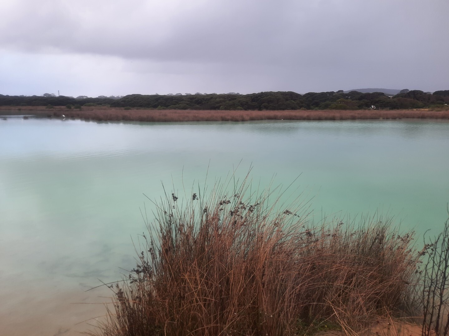 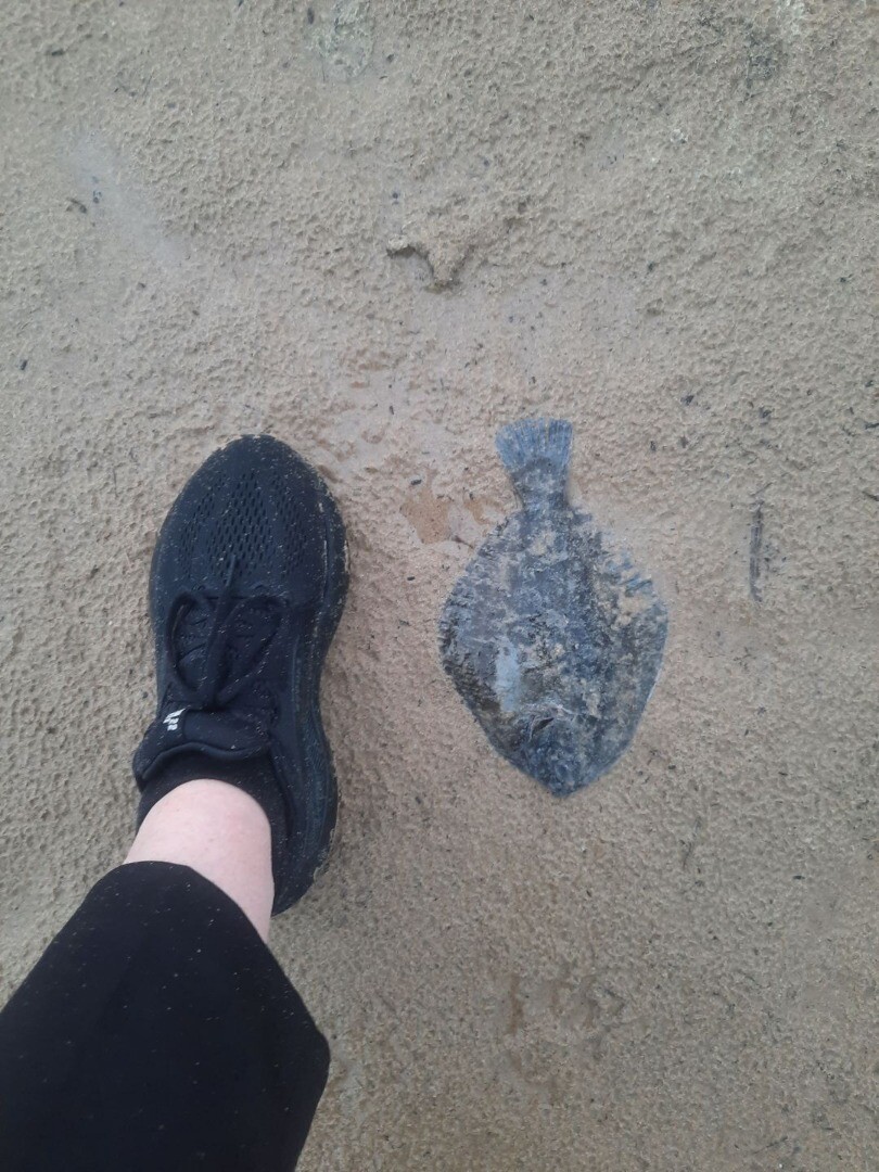 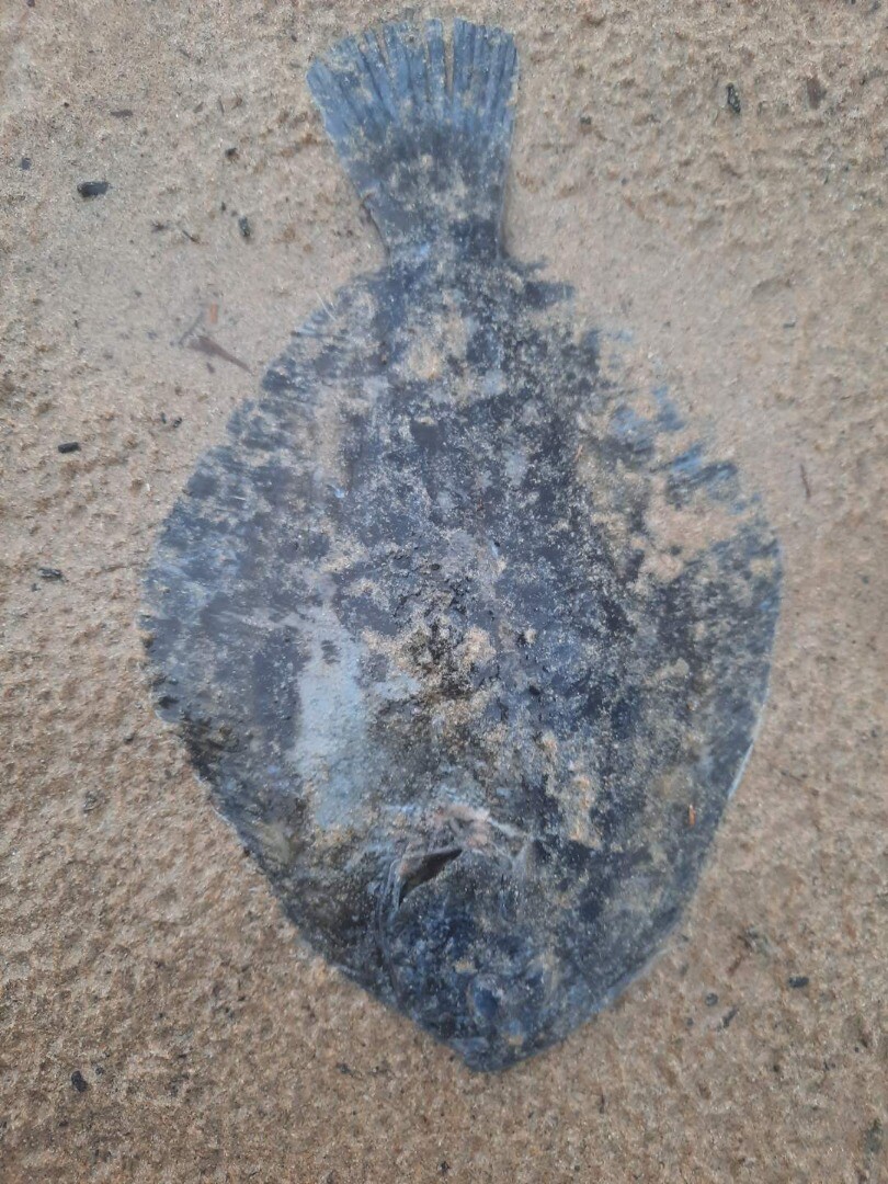 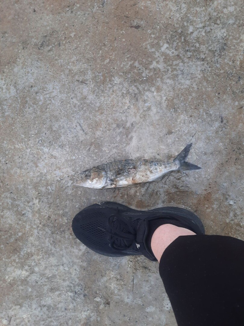 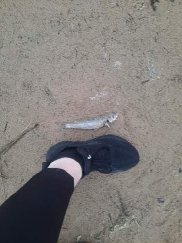 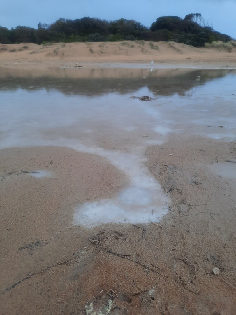 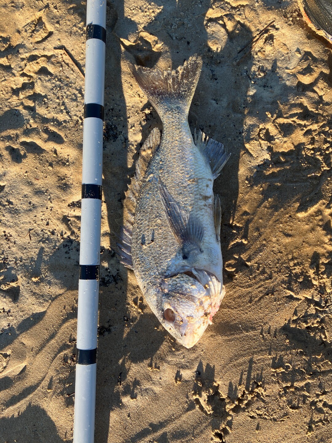 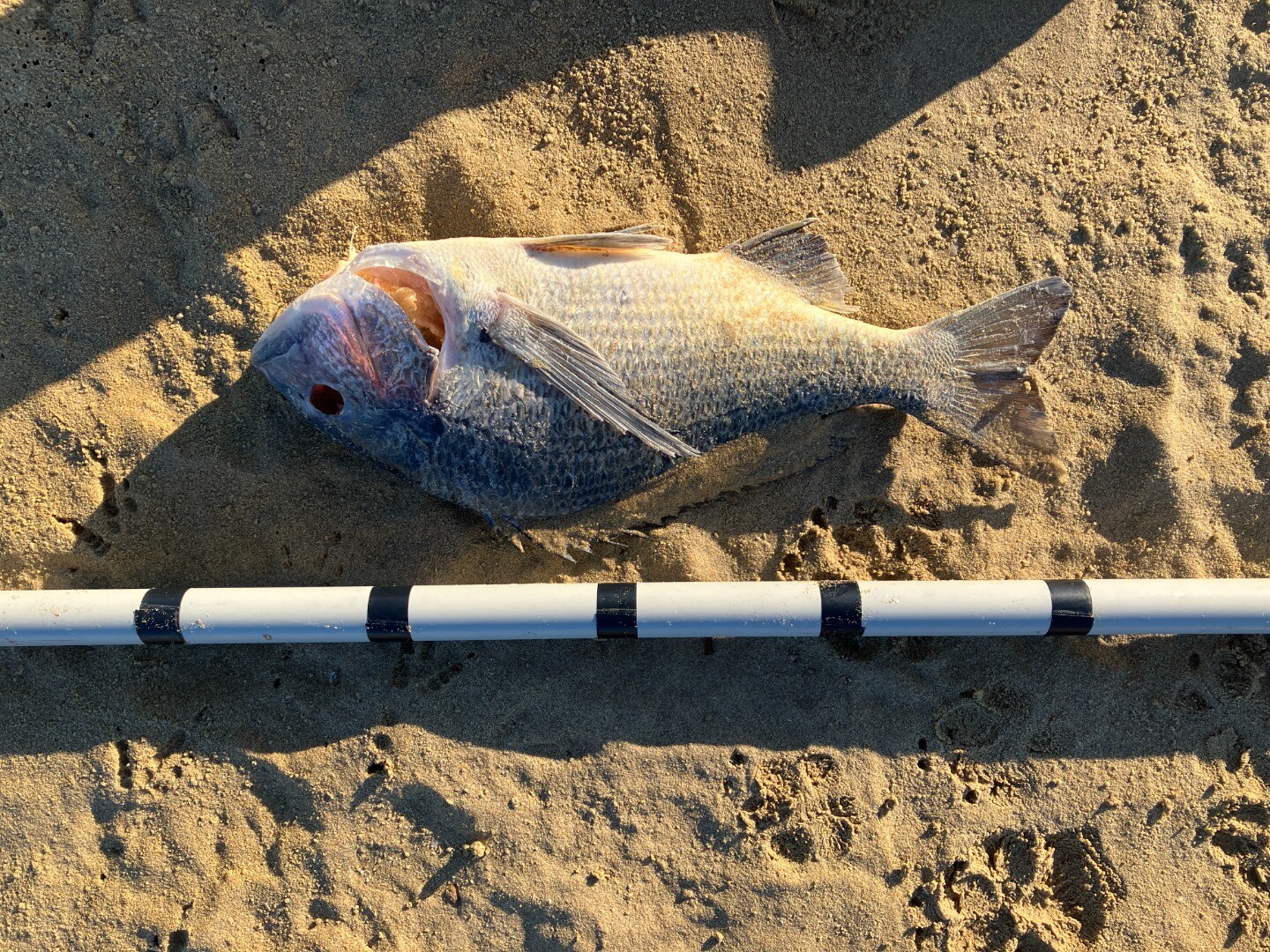 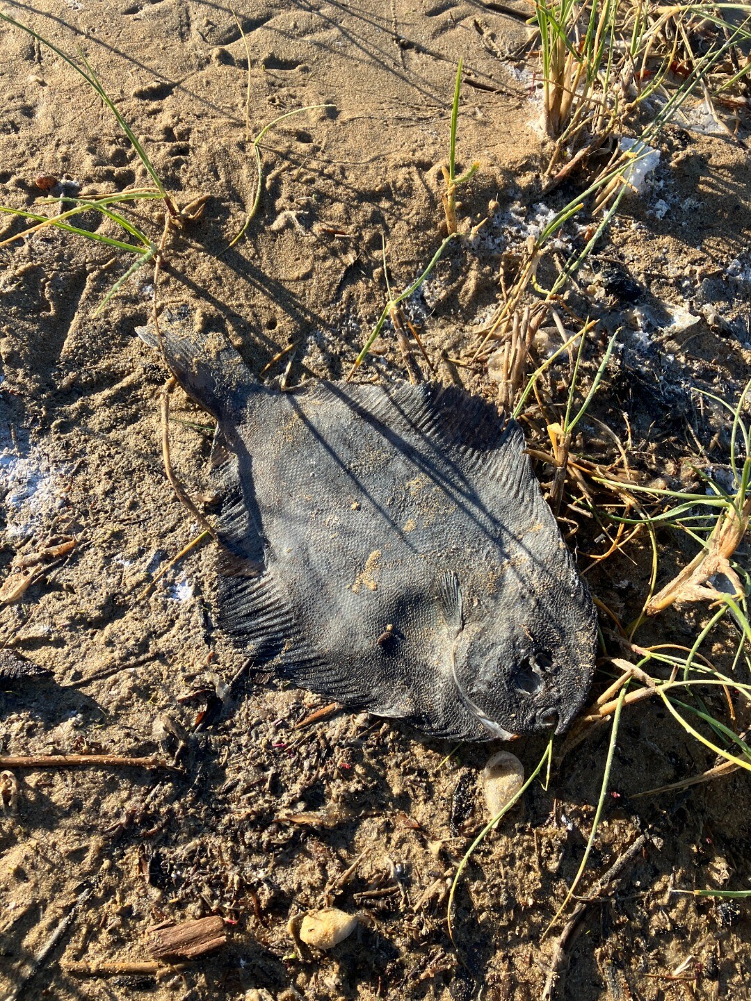 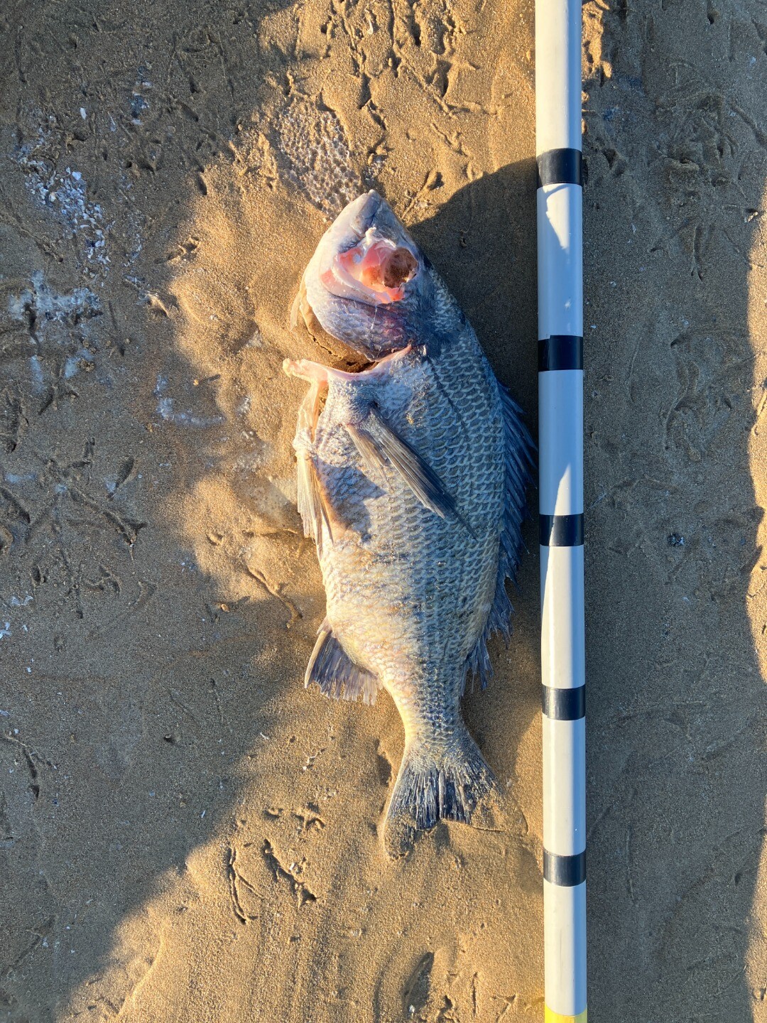 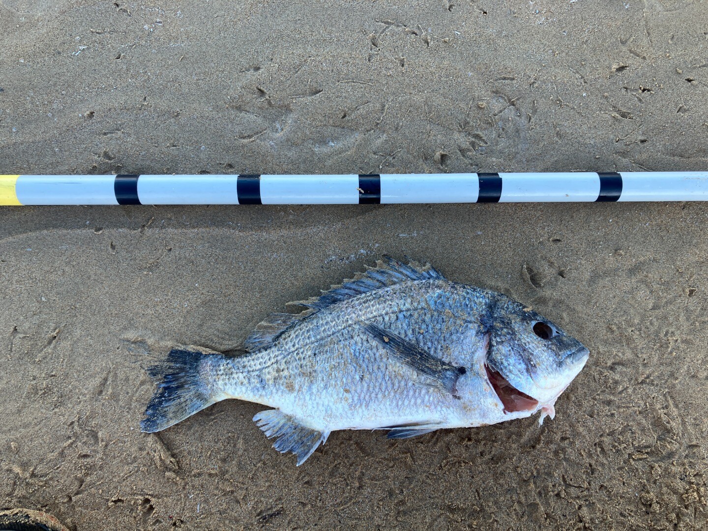 |
|
| 28-07-2025 |
water quality
     |
|
| 24-06-2025 |
Estuary Entrance Closure After water levels had dropped 22.5cm, the entrance closed over again after sustained large swells and high tides. Callum Edwards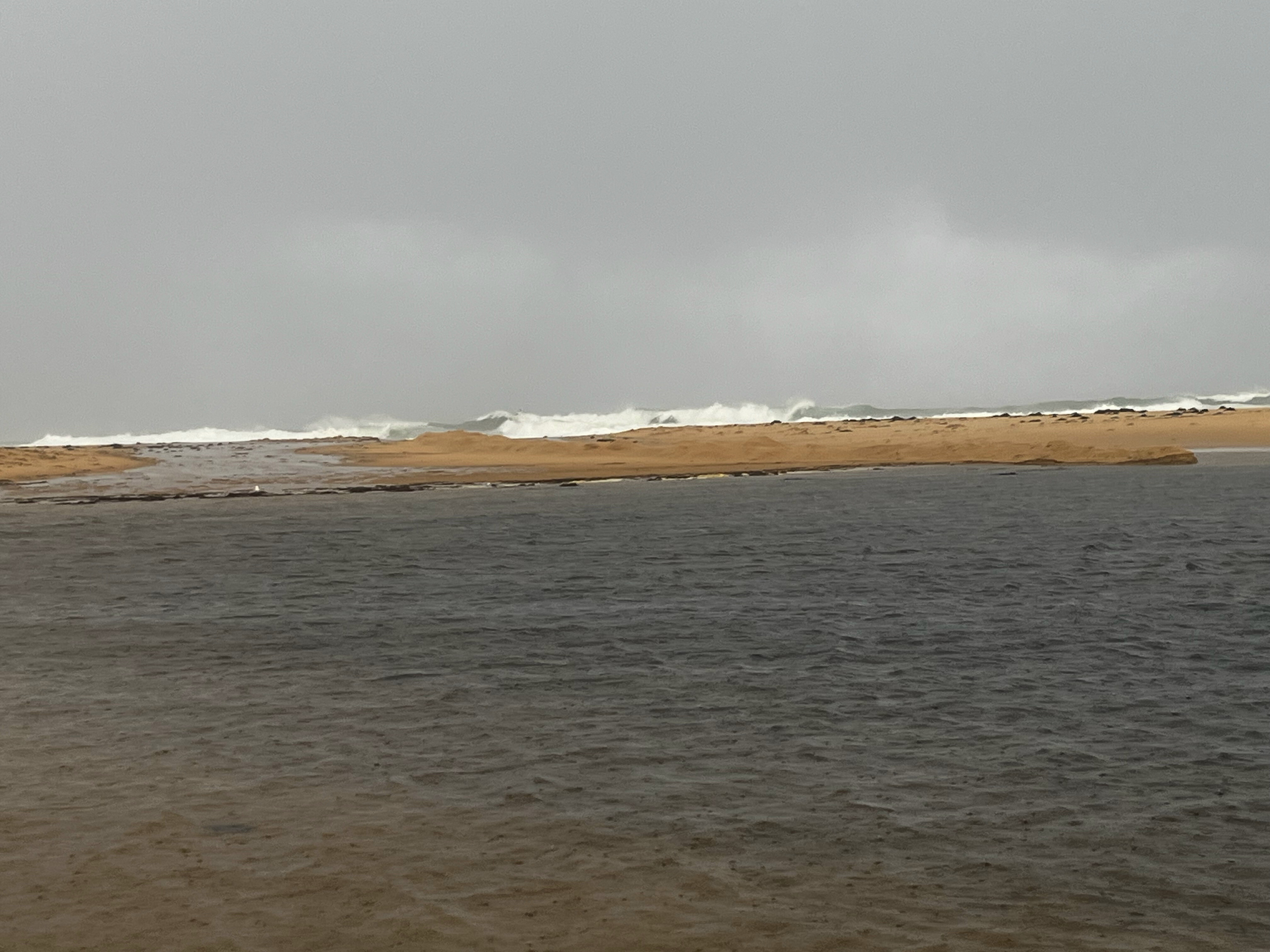 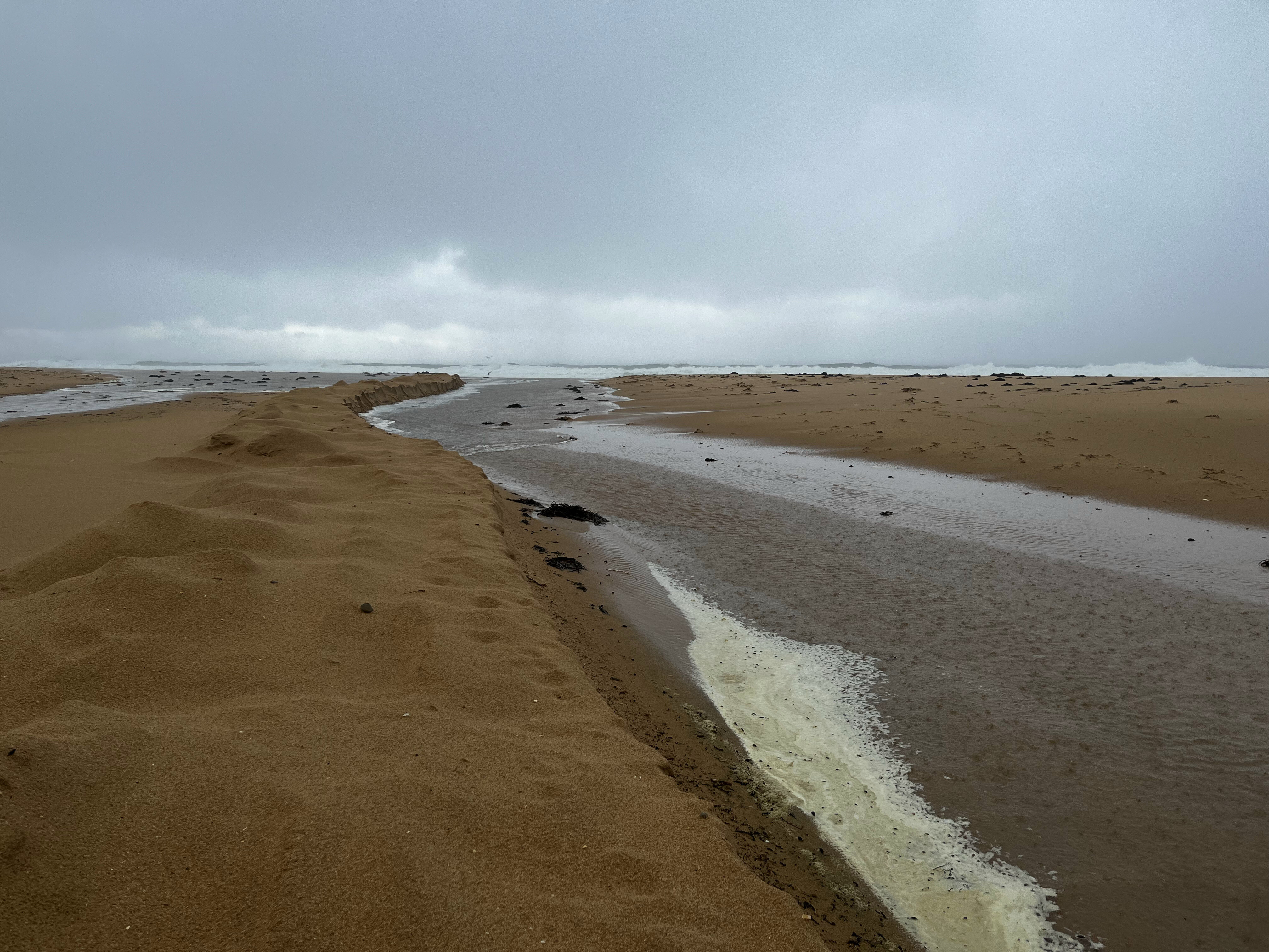 |
|
| 20-06-2025 |
Estuary Entrance Opening The Powlett River estuary was artificially opened to the ocean whilst oxygen levels were still adequate. Given the low water levels and the length and height of the berm, it is expected that water levels will drop marginally, and the estuary will close over again sometime next week. Callum Edwards 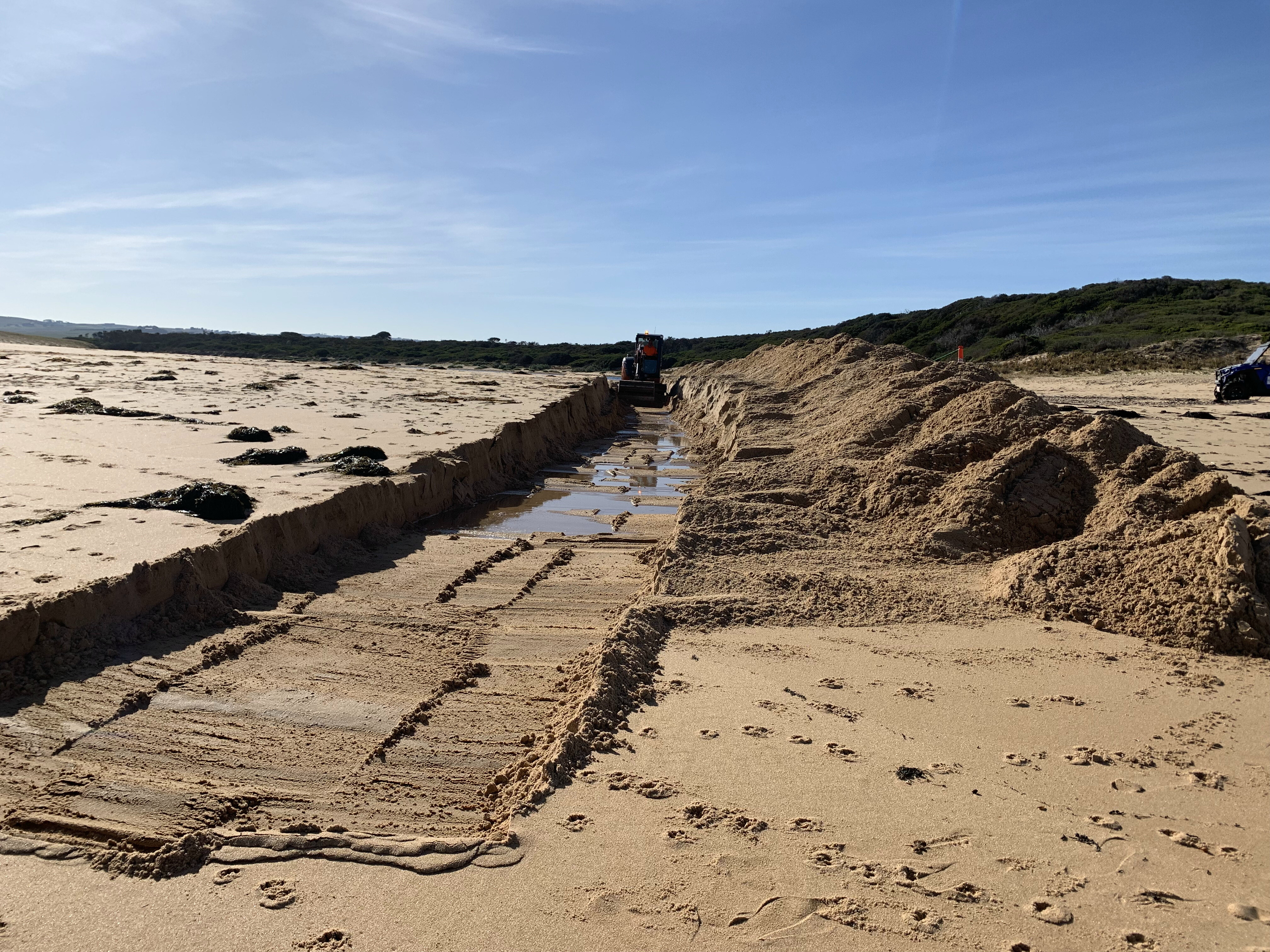 |
|
| 22-04-2025 |
Estuary Entrance Opening Illegal estuary opening observed by EstuaryWatch volunteers. Water level was 1.6m AHD at the time. Rose Herben |
|
| 11-02-2025 |
Blue Green Algae Bloom A Blue Green Algal bloom was confirmed after testing by SGW at Bourne Creek estuary. Birds seem to still be using the estuary upstream of Bass Highway and no dead fish have been spotted to date. First photo is from 11/02/25 and second photo is from 03/03/25. Callum Edwards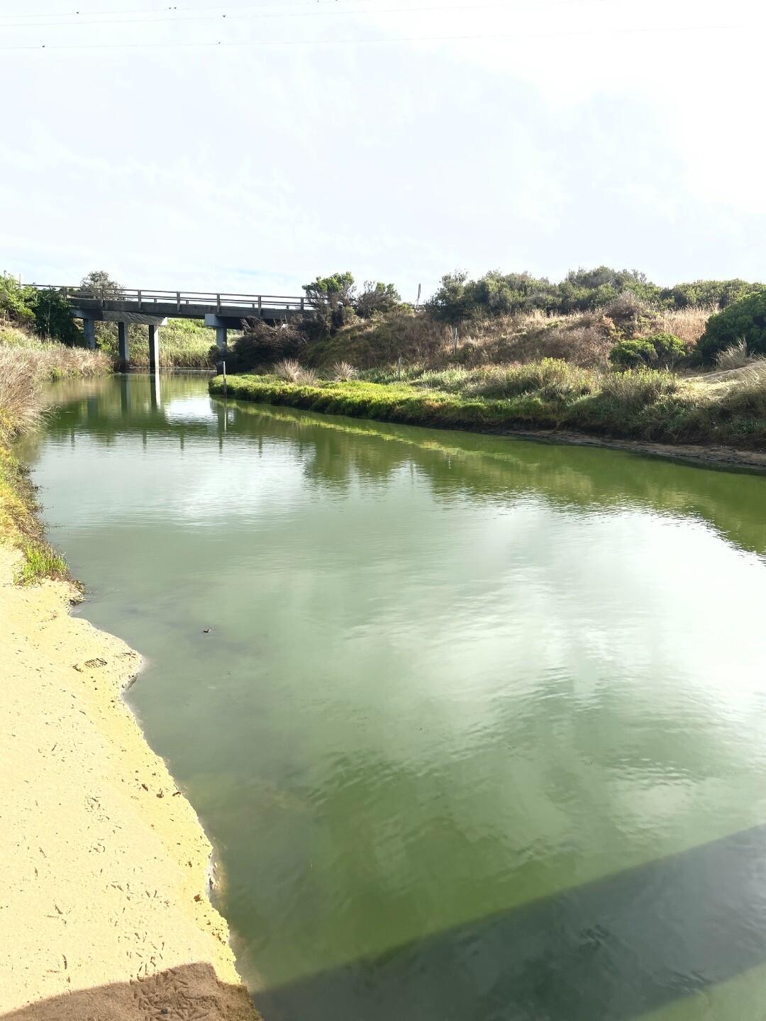 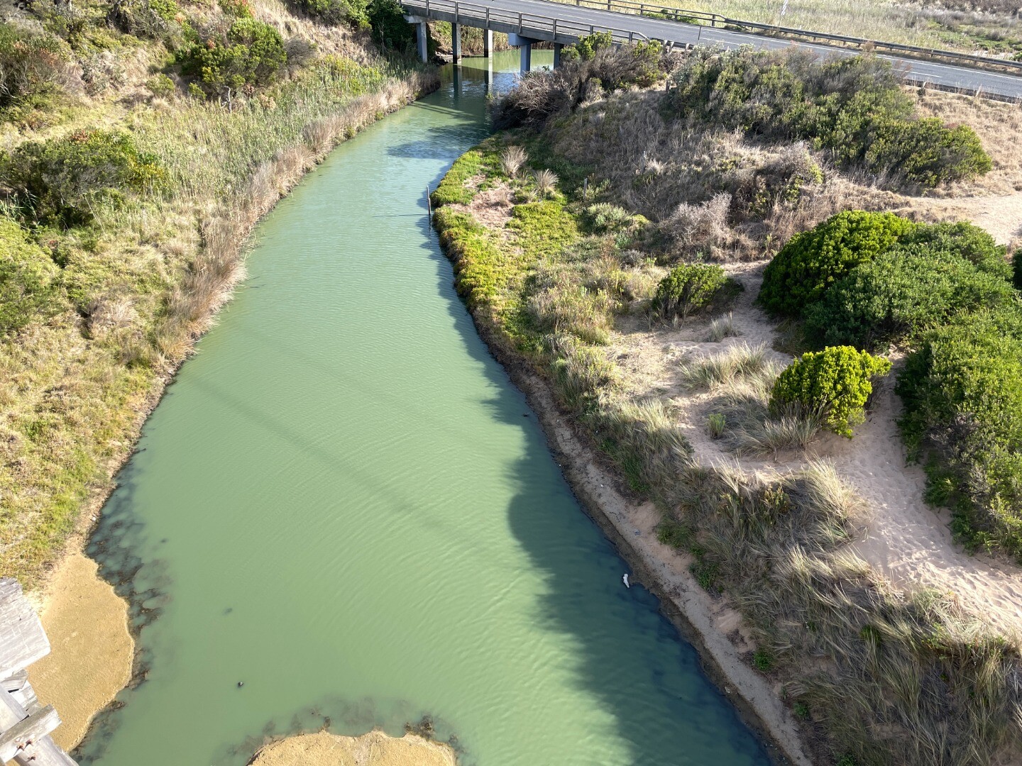 |
|
| 17-01-2025 |
Estuary Entrance Closure Powlett River estuary entrance closed to the ocean after sustained low freshwater flows as well as moderate swells and tides. Callum Edwards |
|
| 24-09-2024 |
Estuary Entrance Opening With water levels reaching a maximum of 2.67mAHD and peak flows recorded at 556ML/day on September 21 at Powlett/Foster confluence (Wattlebank) the decision was made to artificially open the Powlett River Estuary. Water levels dropped by over 1.5m. Callum Edwards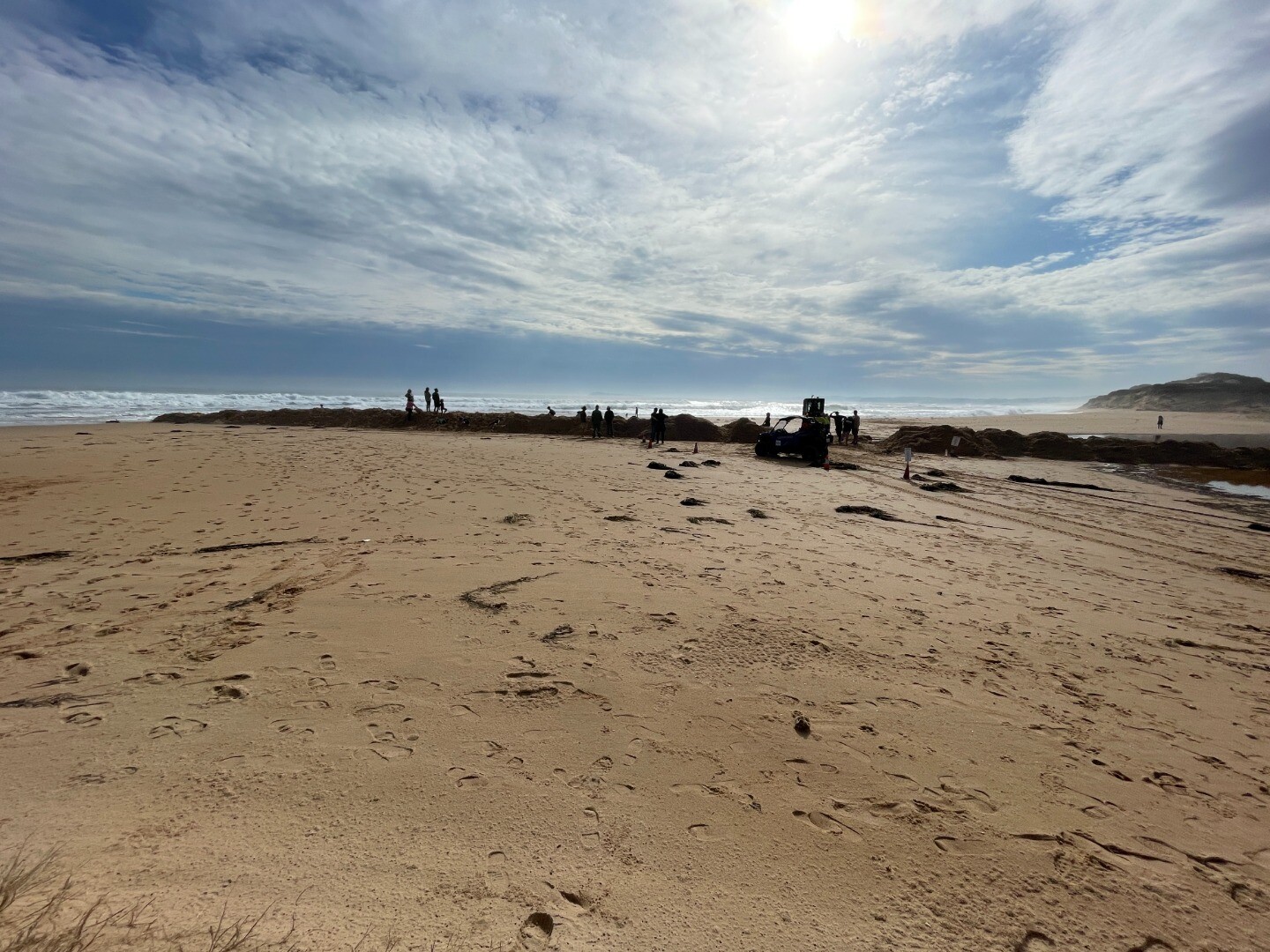 |
|
| 03-09-2024 |
Estuary Entrance Opening An artificial opening was approved to go ahead at Bourne Creek estuary after water levels reached 2.56mAHD which was enough to inundate the emergency lane of Bass Highway. The next morning water levels had dropped 10cm and water levels are expected to drop further during the week Callum Edwards  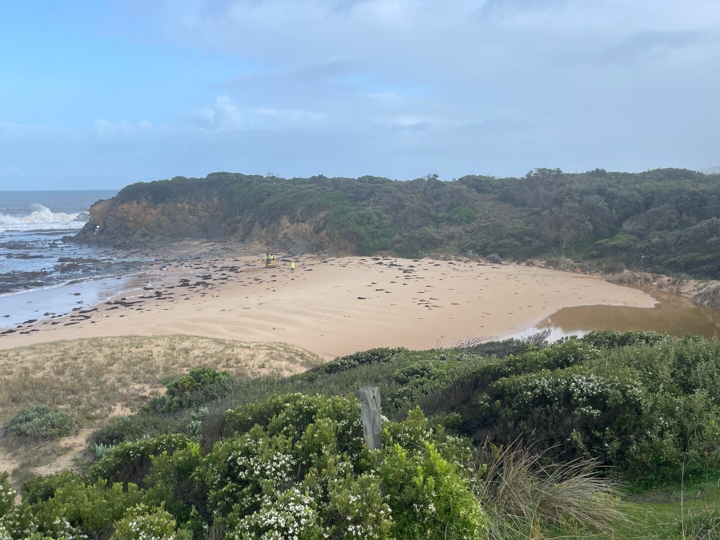 |
|
| 31-08-2024 |
Estuary Entrance Closure The Powlett River estuary closed its entrance to the ocean after sustained large swells brought large amounts of sand into the estuary entrance. Callum Edwards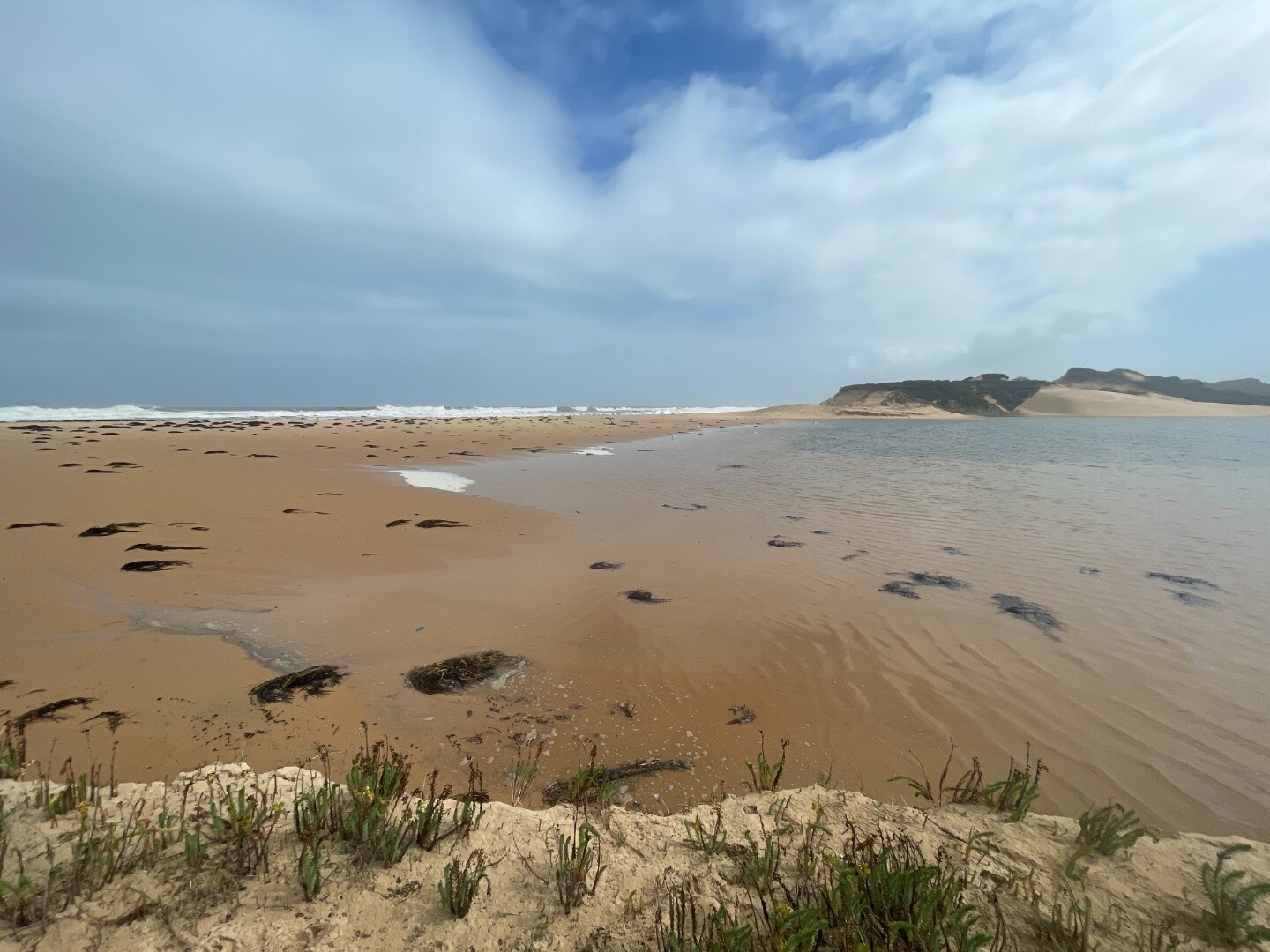 |
|
| 23-05-2024 |
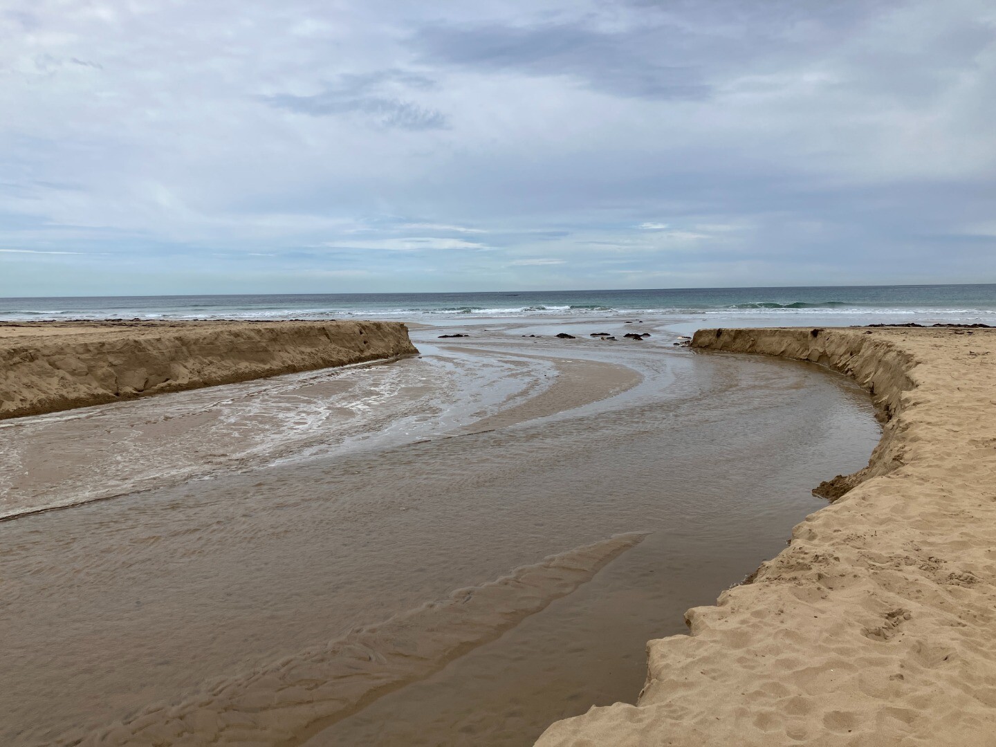
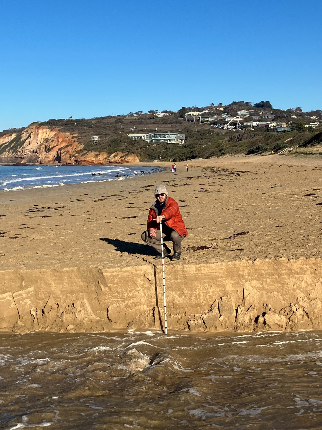
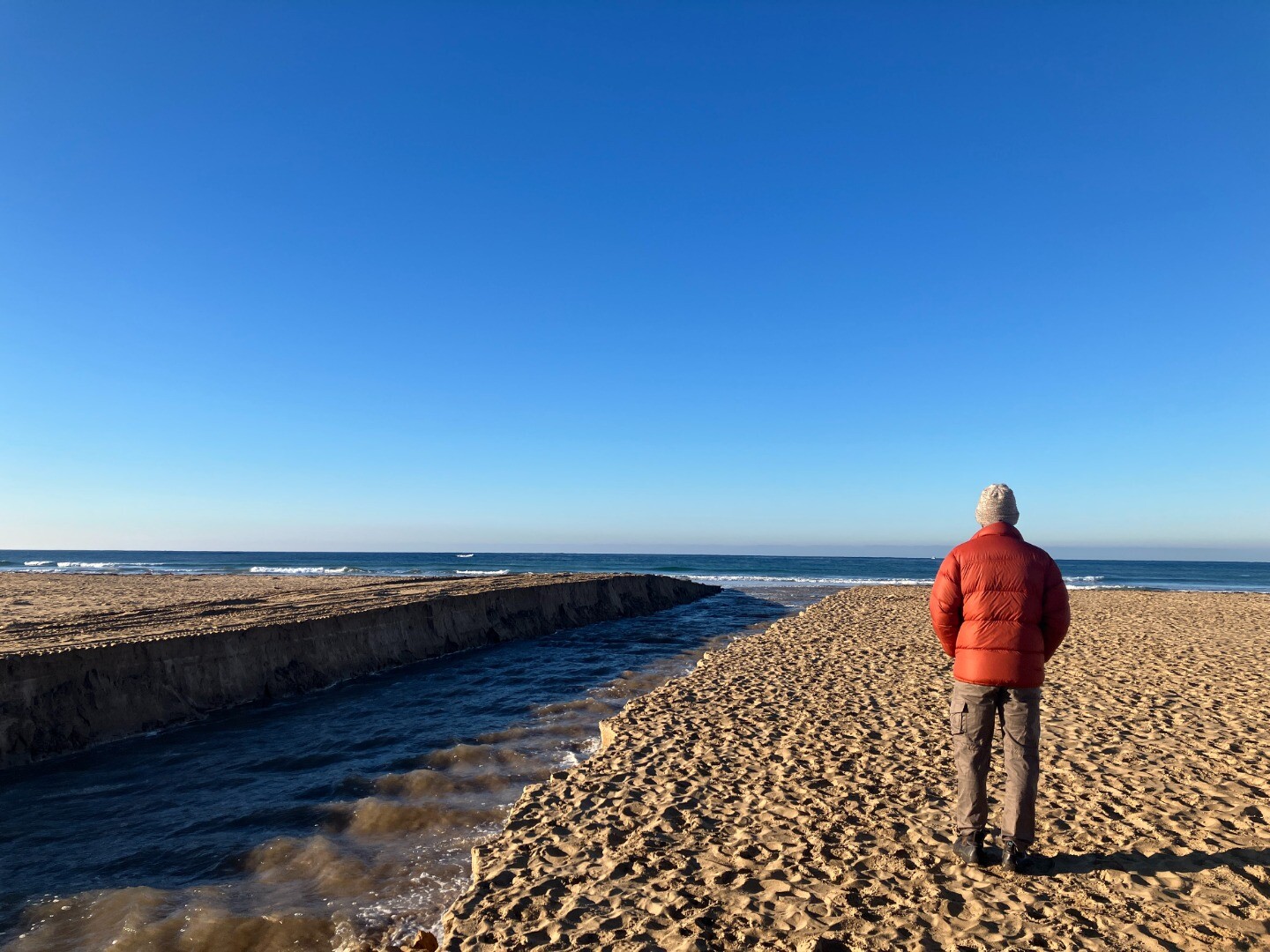
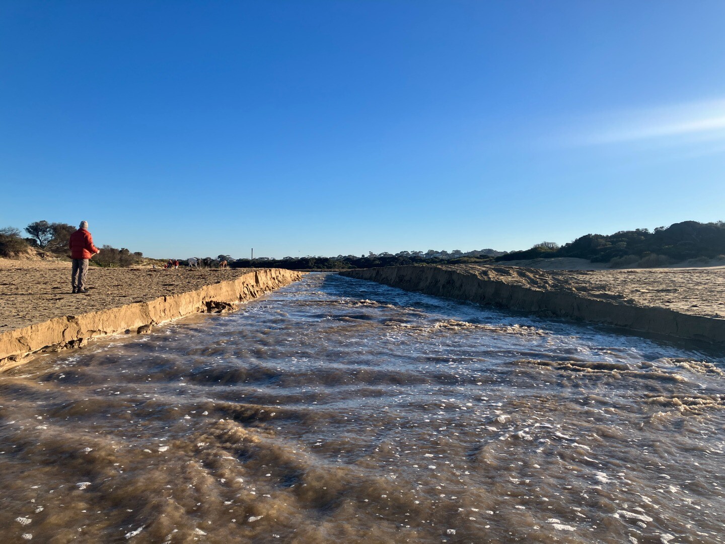
Unusual/Extraordinary occurrence! Photos 1-3 flooding near Proudfoots By The River Restaurant Photos 4-8 flooding at road from Warrnambool Ski club to boat ramp Photos 9&10 water height pole near boat ramp at Lyndoch Photos 11-13 artificial opening photo taken from timber Hopkins river mouth viewing deck Ashley Zanker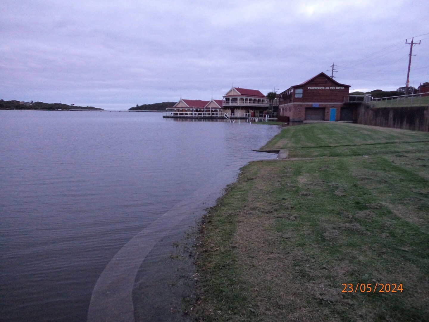 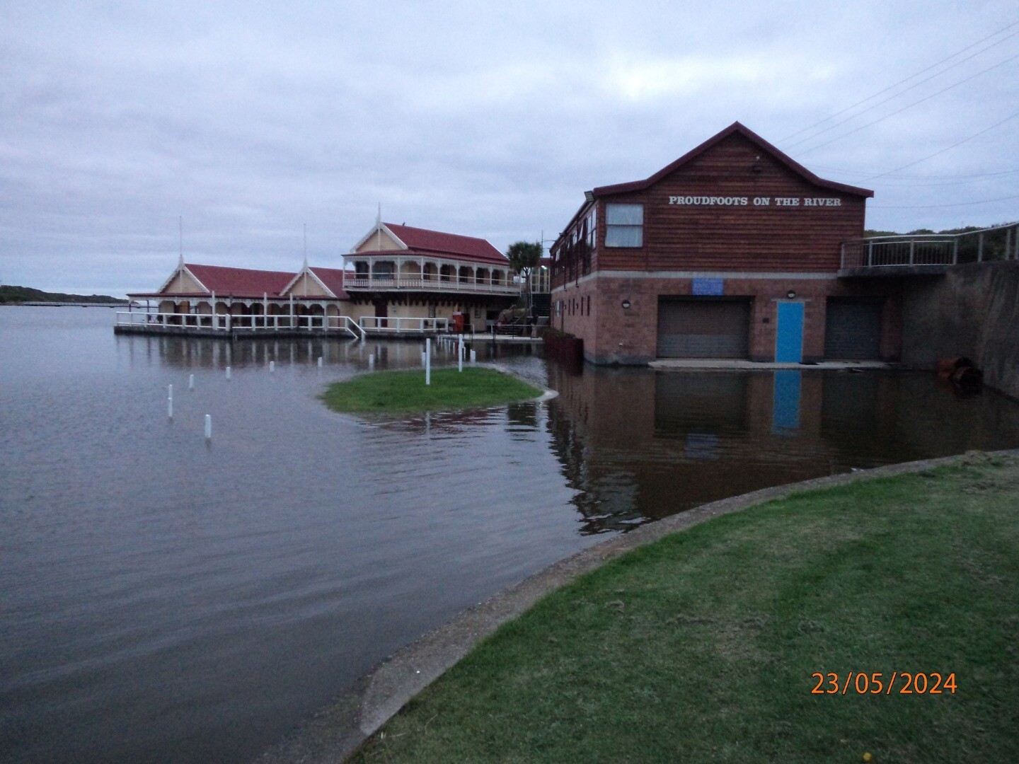 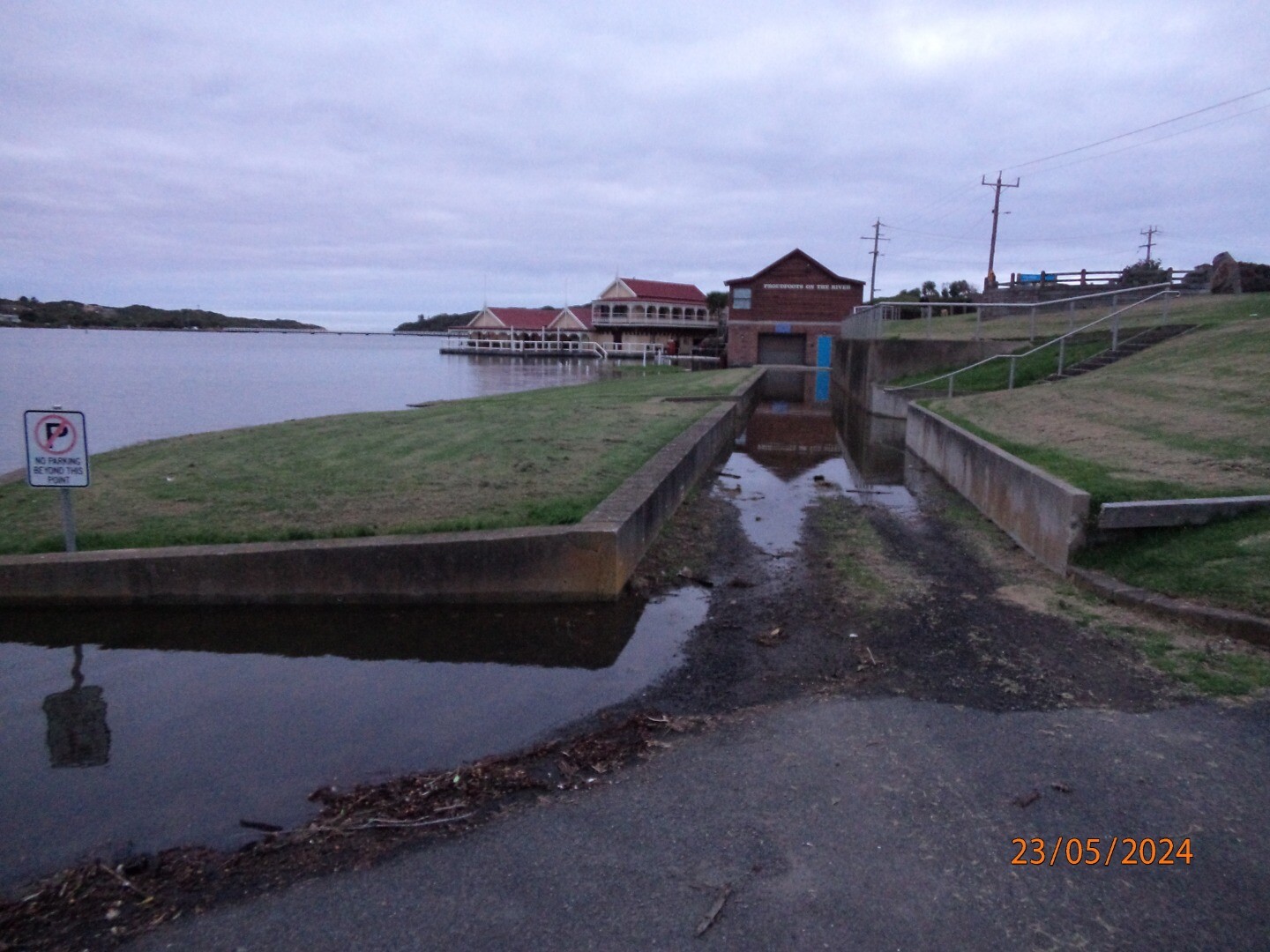   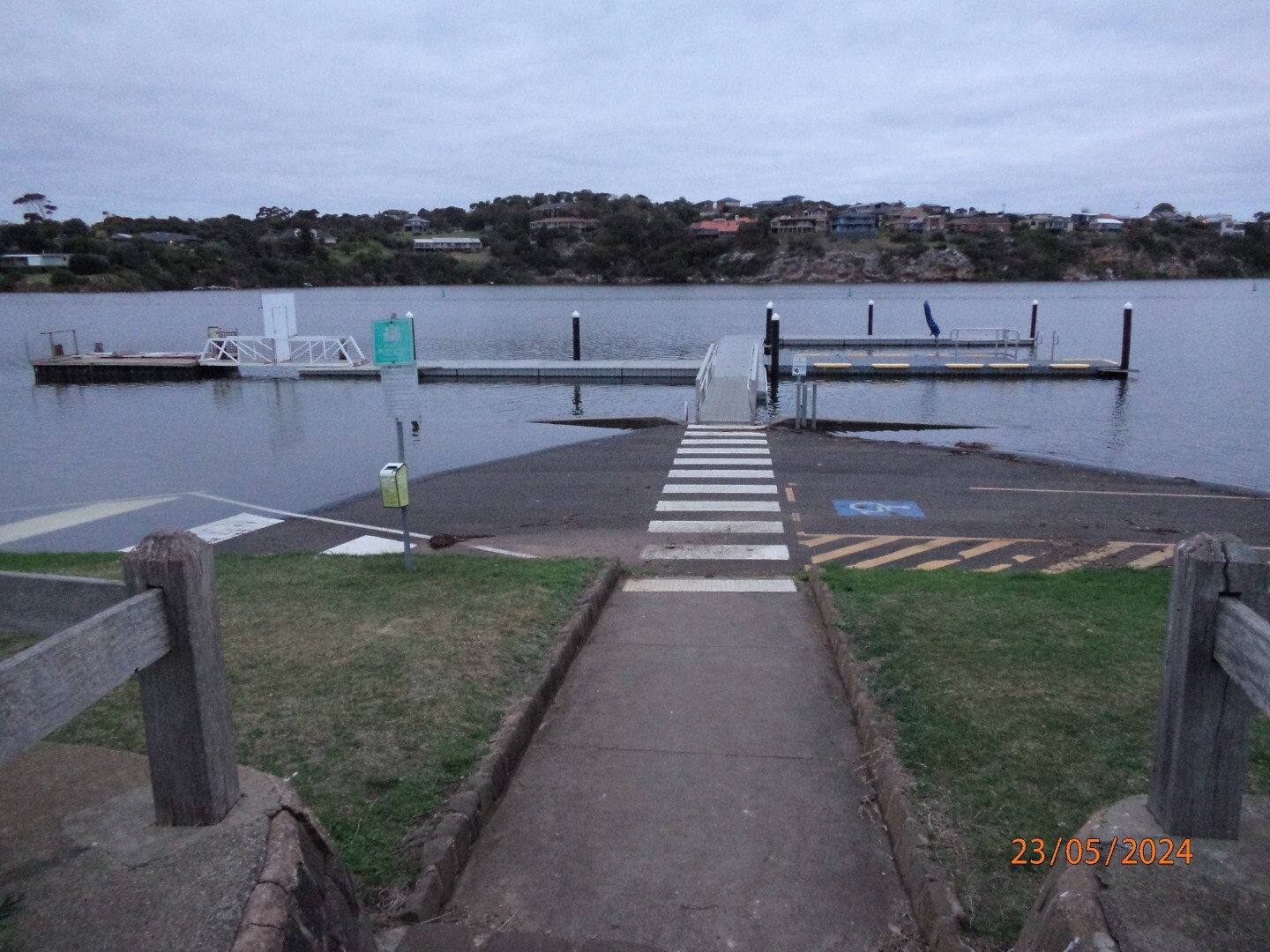 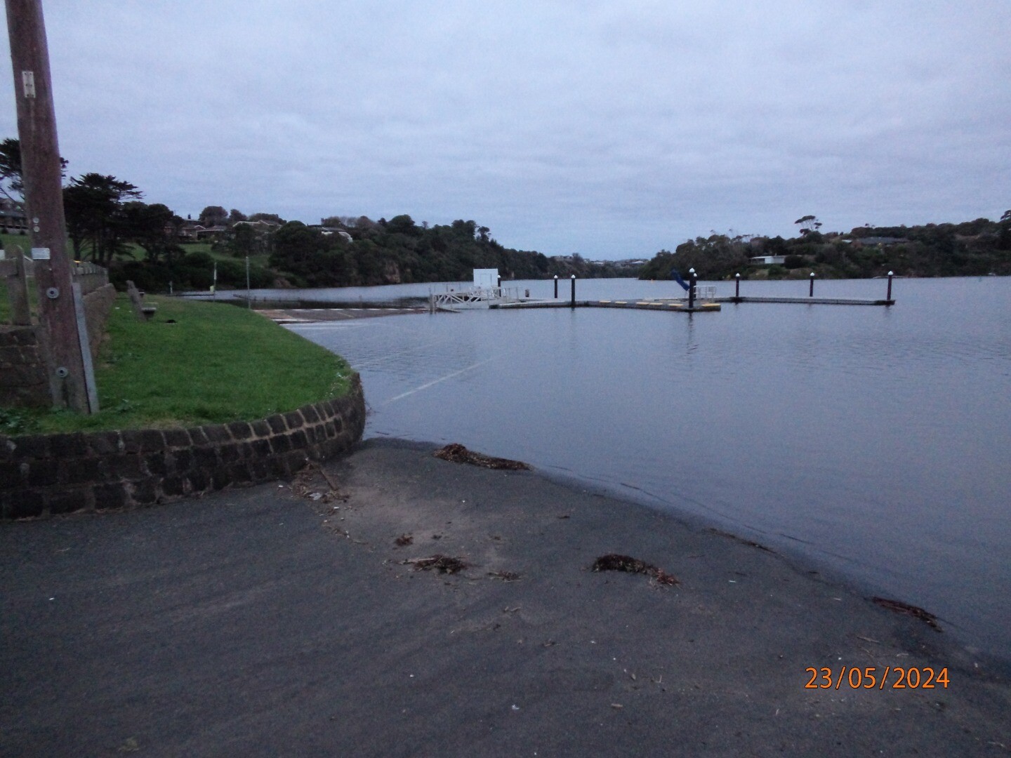   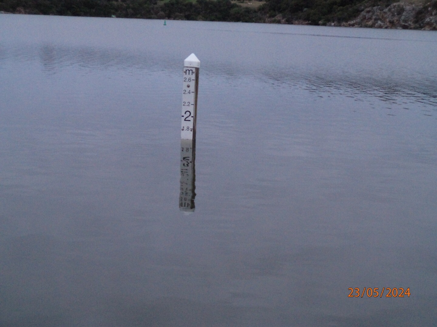 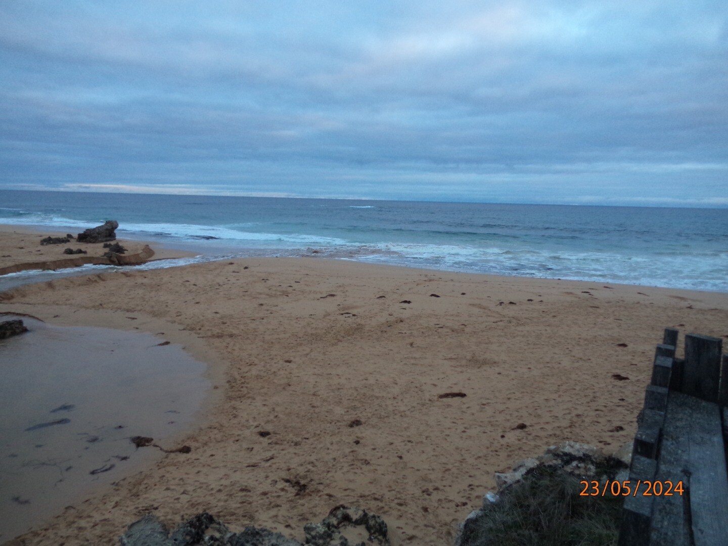   |
|
| 02-04-2024 |
Estuary Entrance Opening After 77mm rain over April 2-3, Bourne Creek naturally opened to the ocean. Callum Edwards |
|
| 19-01-2024 |
Estuary Entrance Closure Estuary closure reported by Breamlea resident. Photos show estuary opened on the 18th of January 2024 and closed on the 19th of January. Rose Herben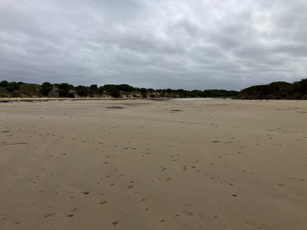 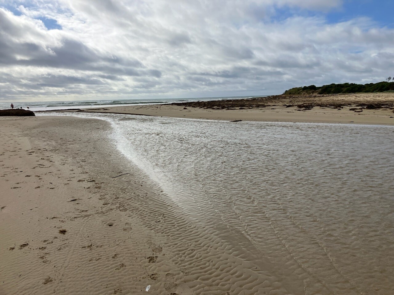 |
|
| 08-10-2023 |
Estuary Entrance Opening photo of the mouth, someone's unofficial opening attempt? Deirdre Murphy |
|
| 07-05-2023 |
Estuary Entrance Opening With over 20mm of rain, Bourne Creek naturally opened sometime over the weekend dropping water levels to 2.04mAHD. Callum Edwards |
|
| 14-10-2022 |
Water level high water level @ Site 2 - River Boat Cruise pontoon, unable to do observations, due to water inflow up stream and high tides @ estuary mouth Ashley Zanker 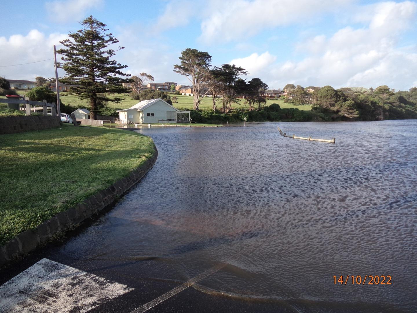 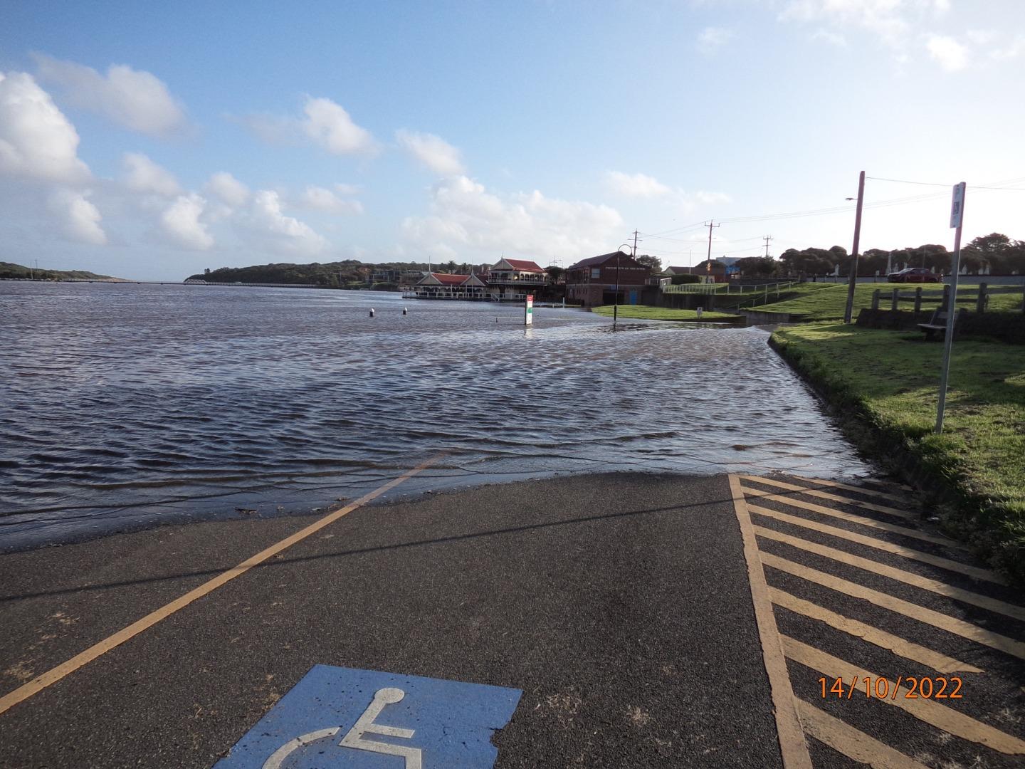 |
|
We honour Elders past and present whose knowledge and wisdom has ensured the continuation of culture and traditional practices.
 All content, files, data and images provided by the EstuaryWatch Data Portal subject to a Creative Commons Attribution License
Data portal by CeRDI
All content, files, data and images provided by the EstuaryWatch Data Portal subject to a Creative Commons Attribution License
Data portal by CeRDI