Tidal River
West Gippsland CMA
DOWNLOAD DATAOverview
Active Parks Victoria Tidal River Education Team
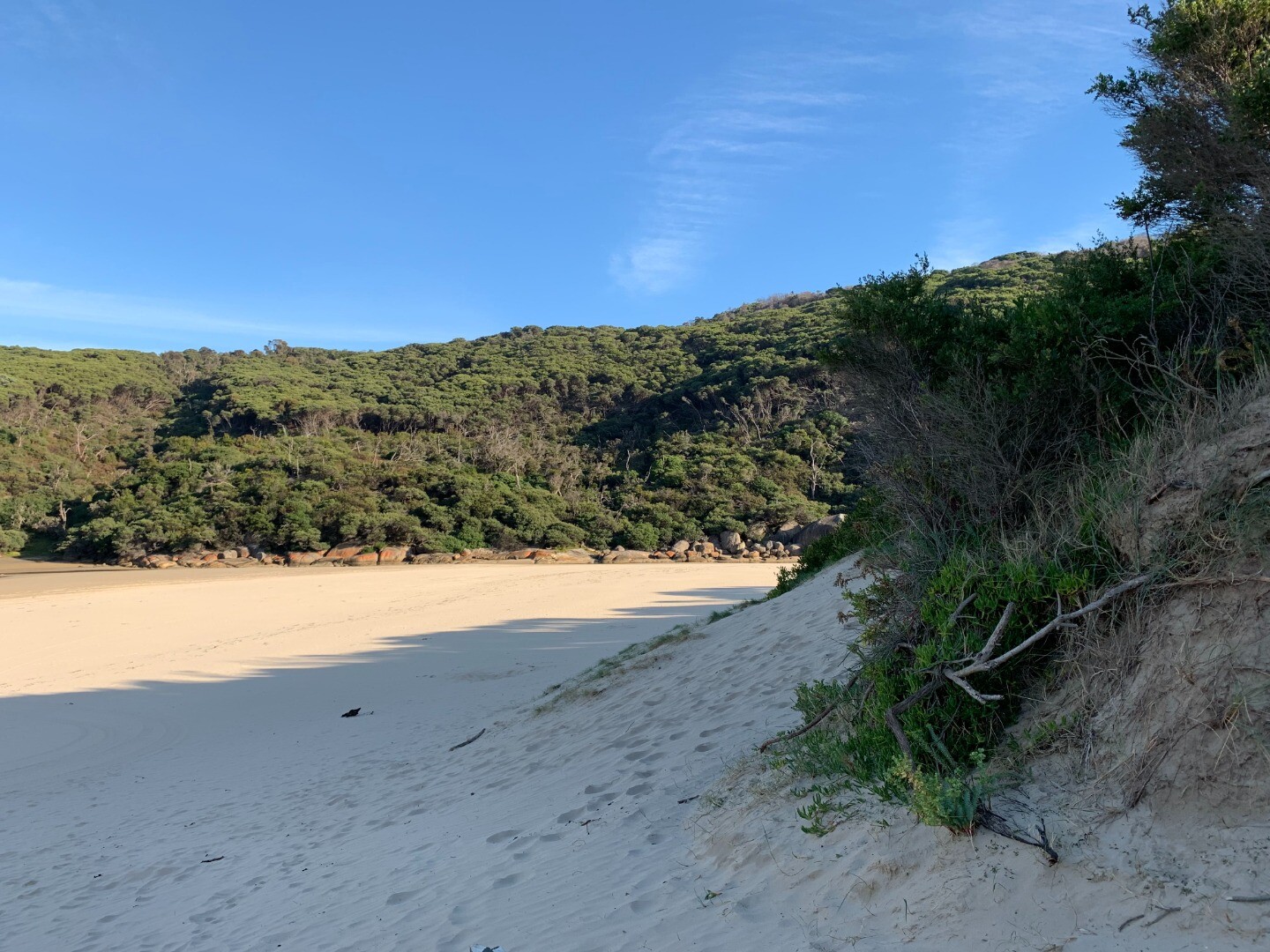
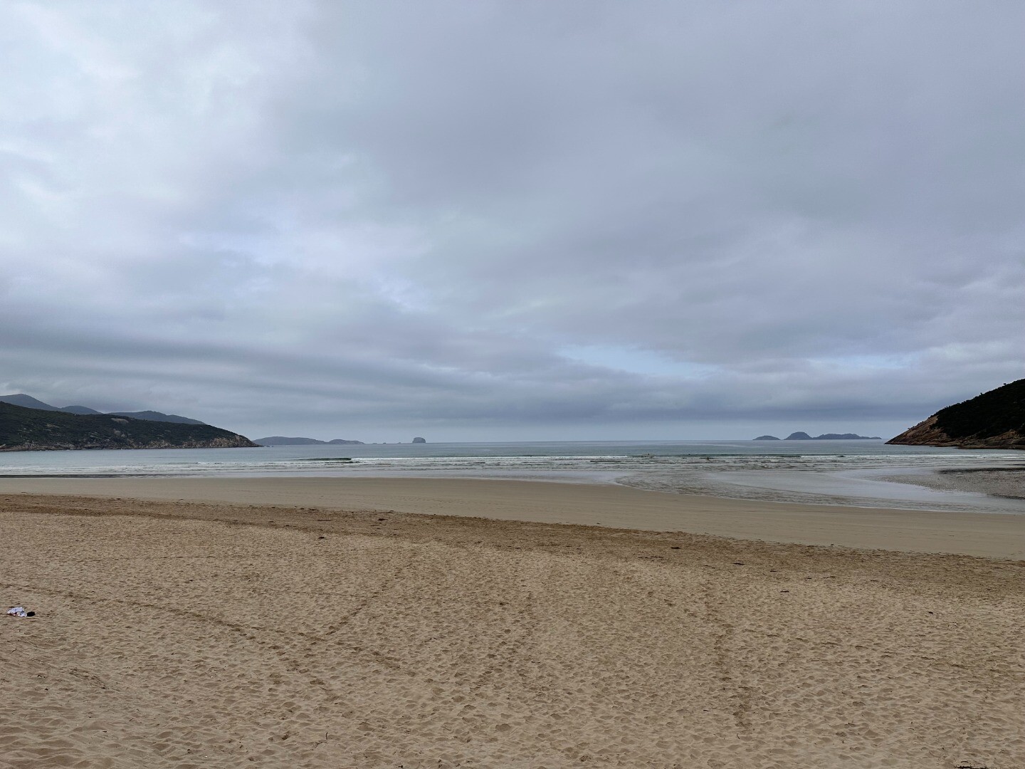
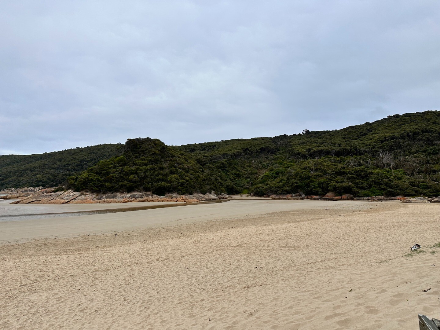
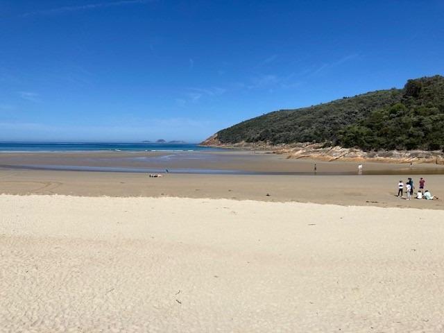
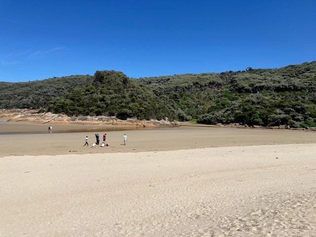
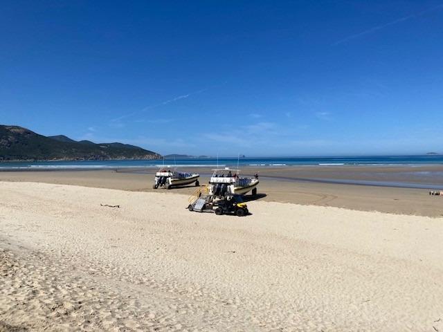
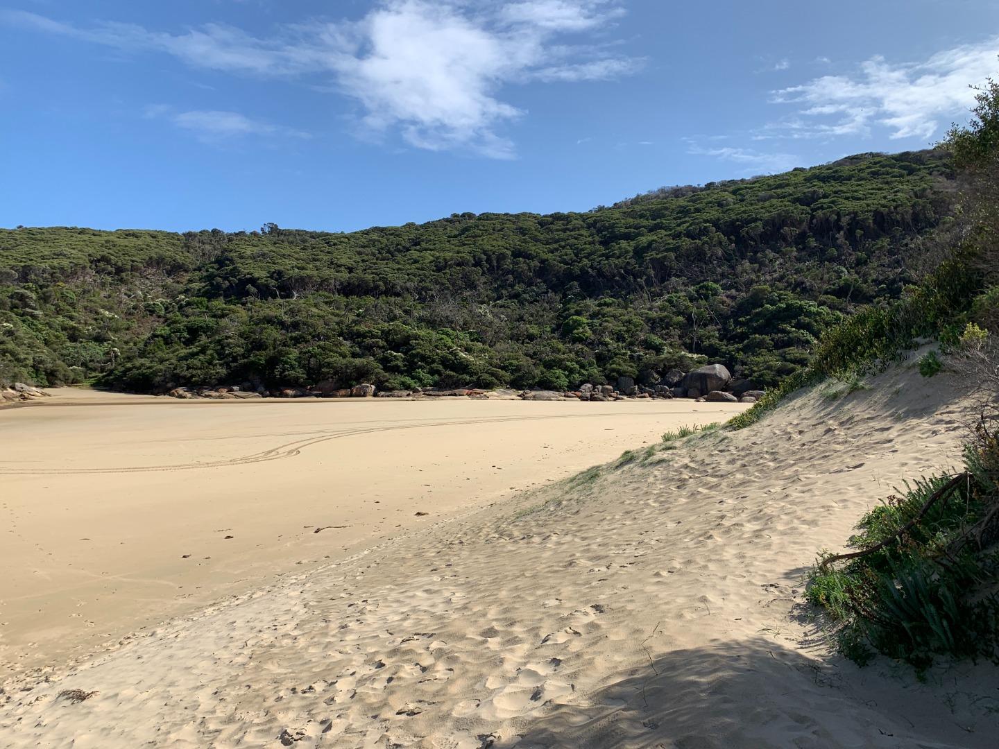
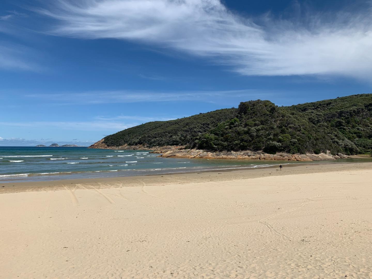
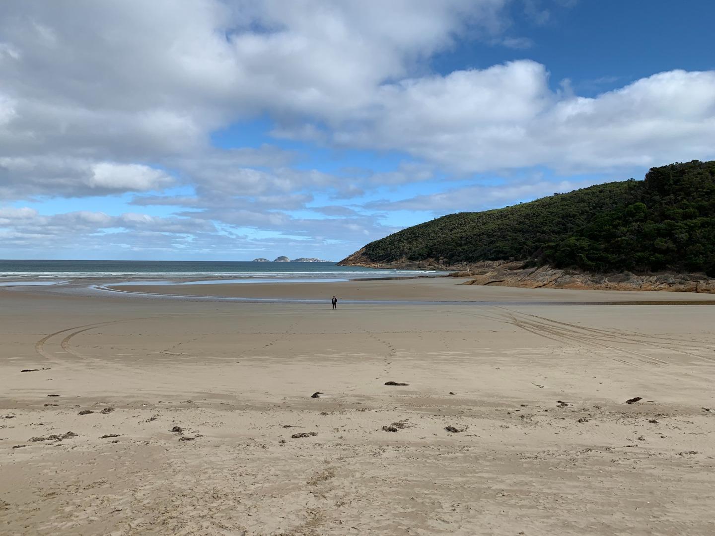
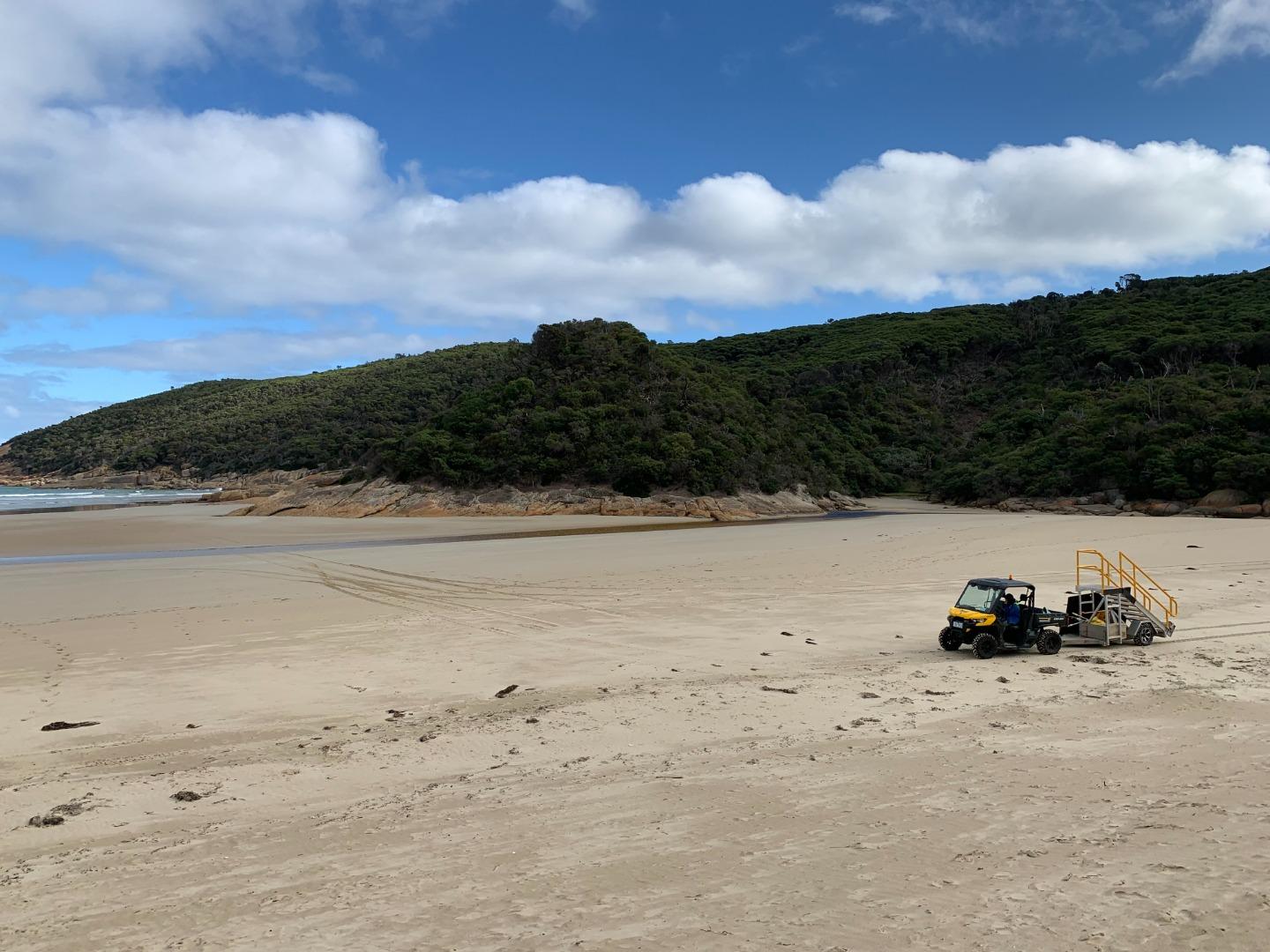
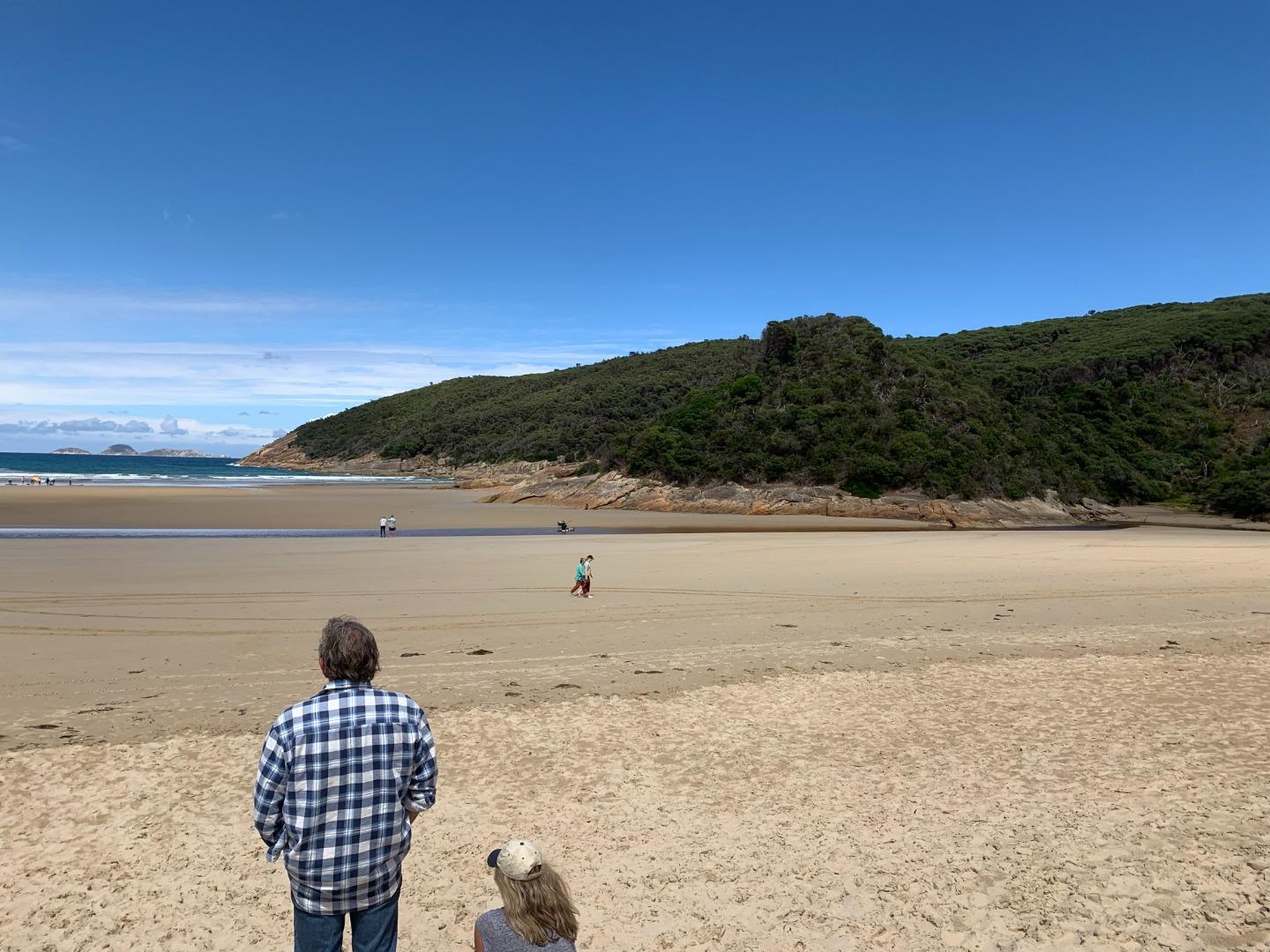
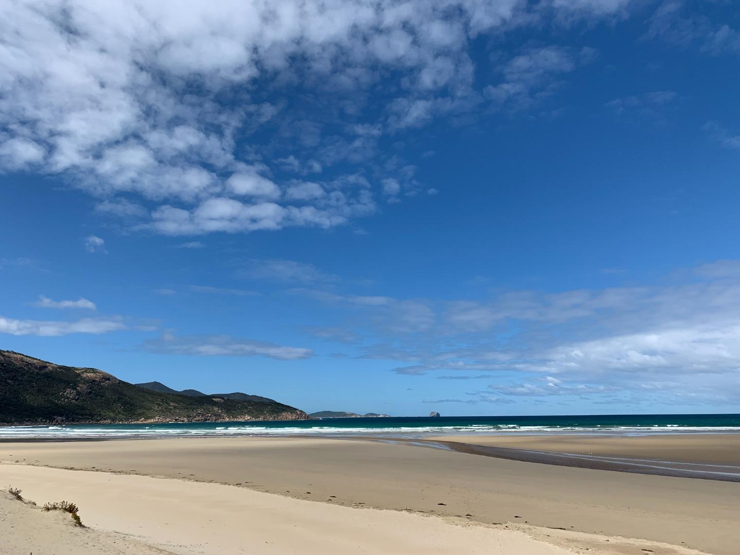
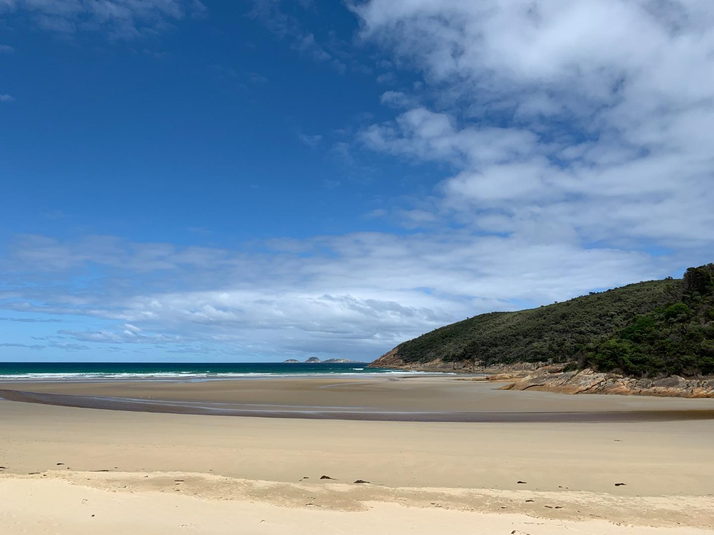
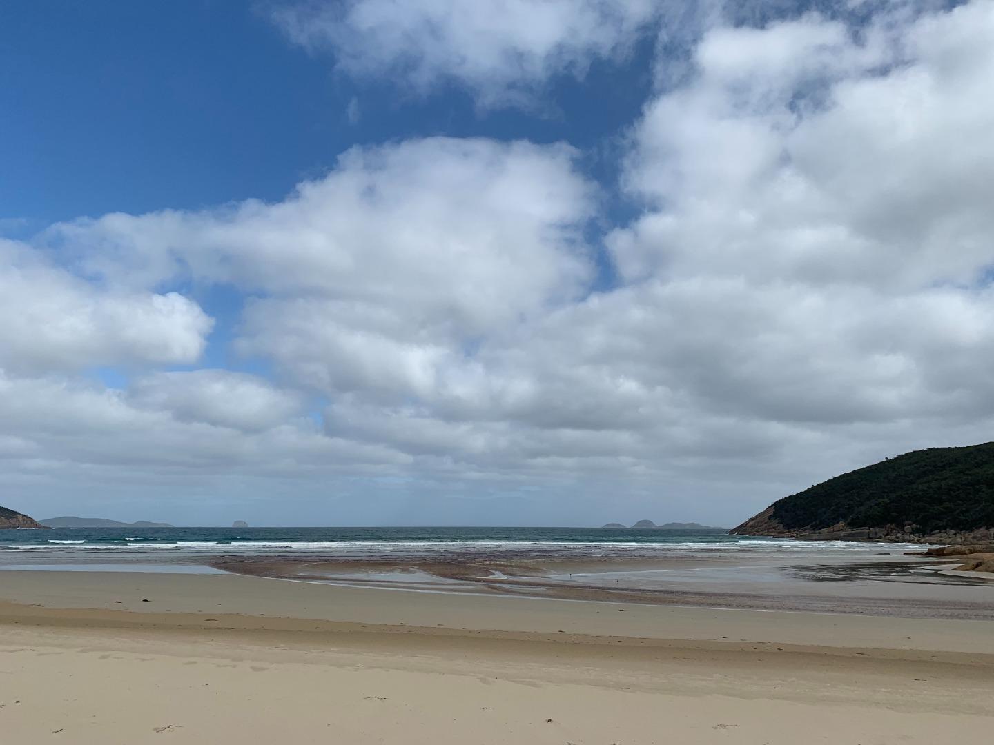
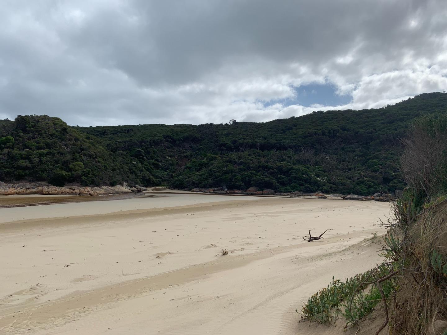
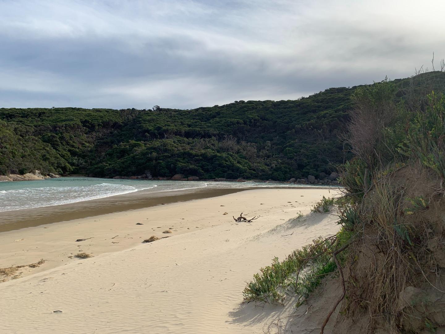
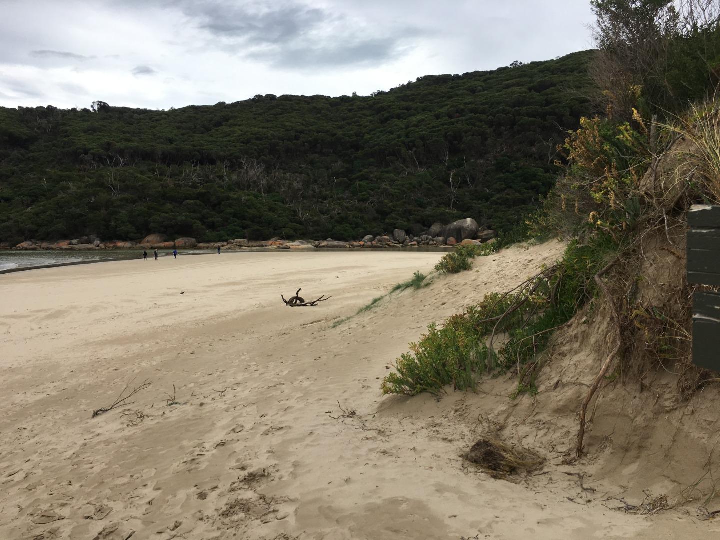
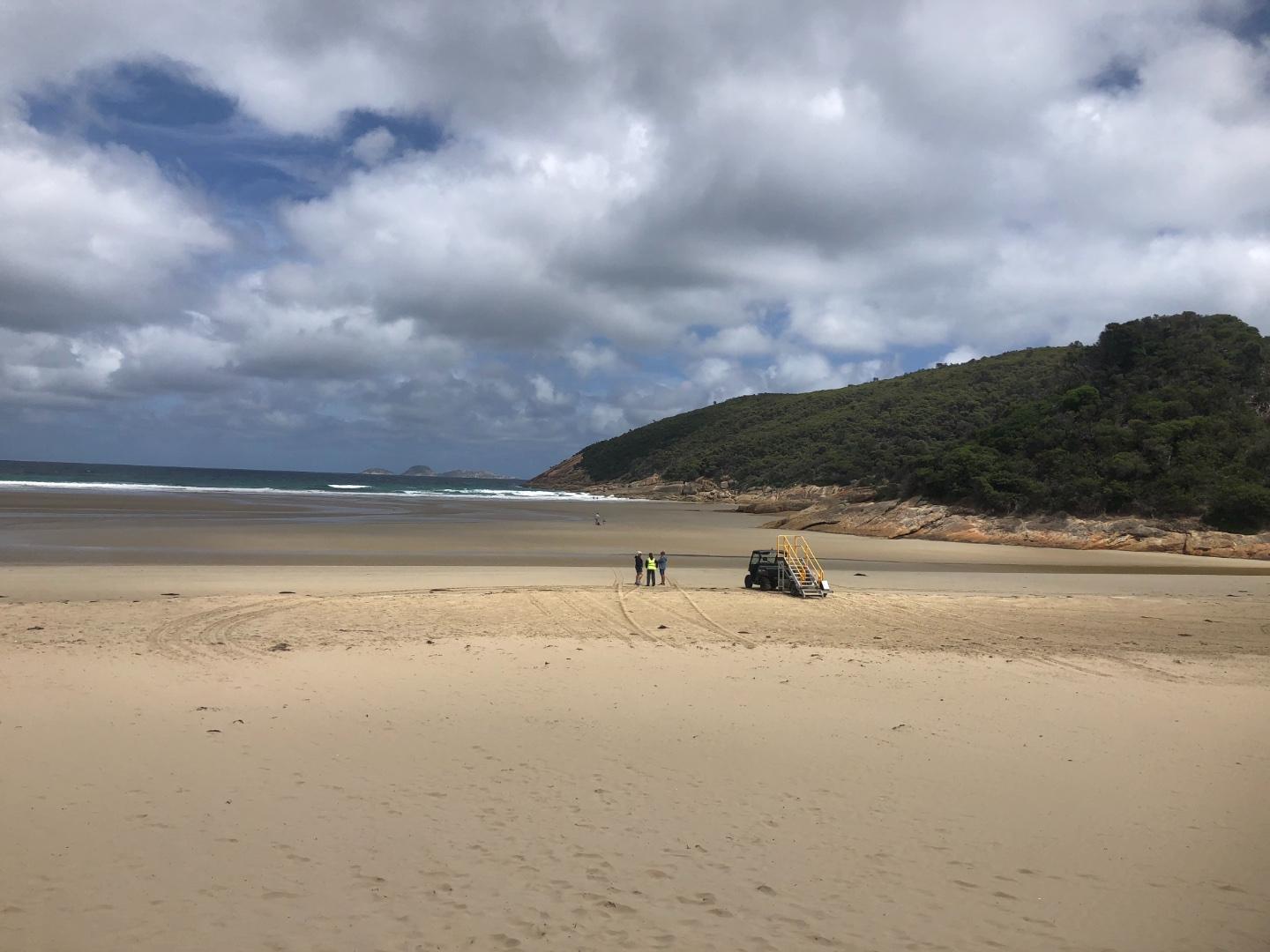
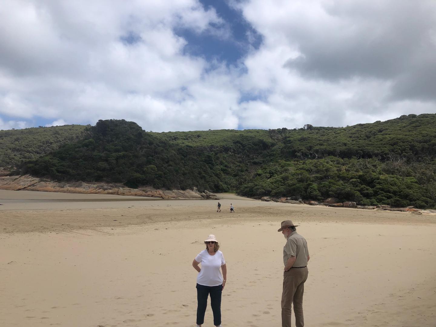
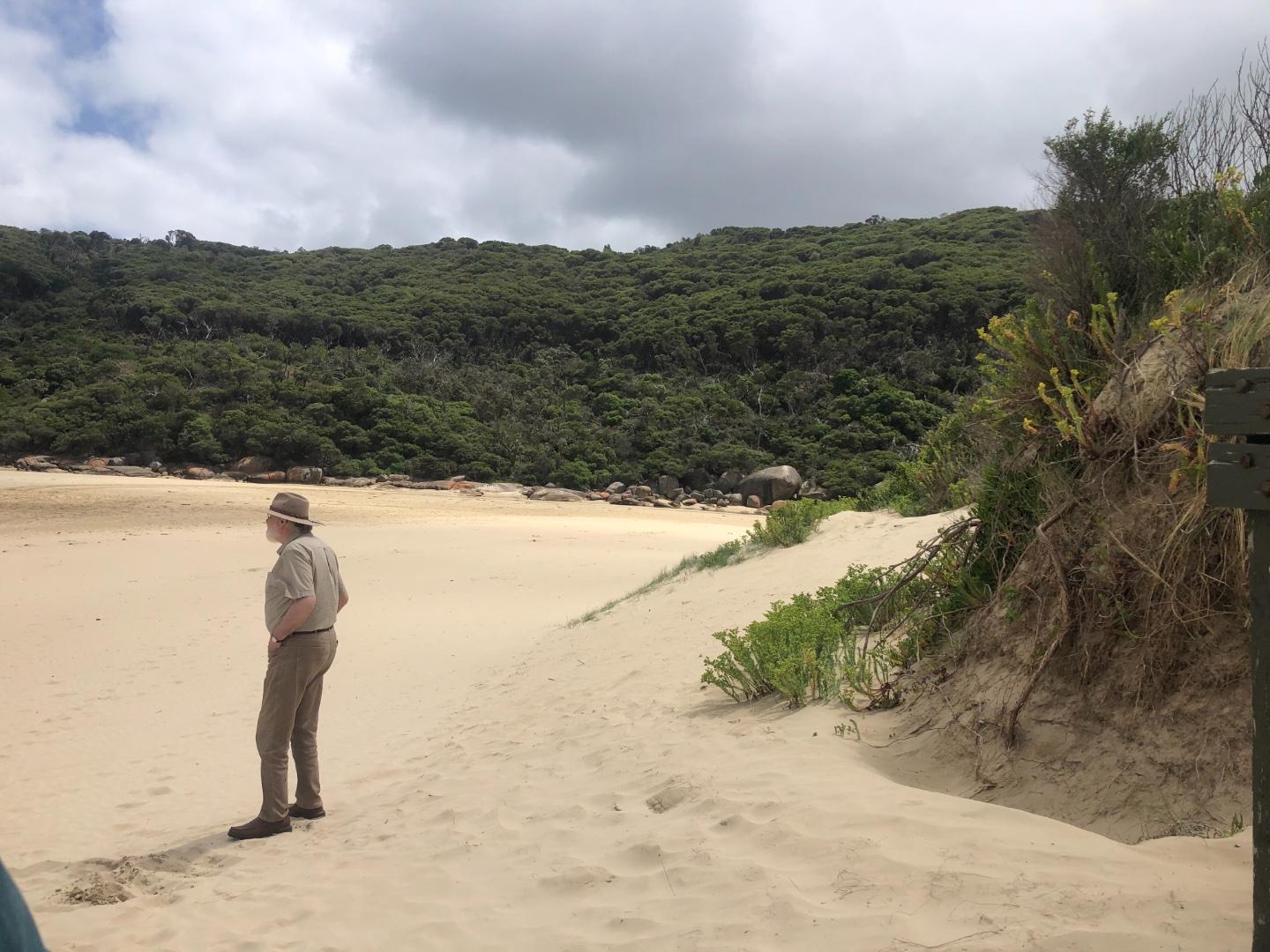
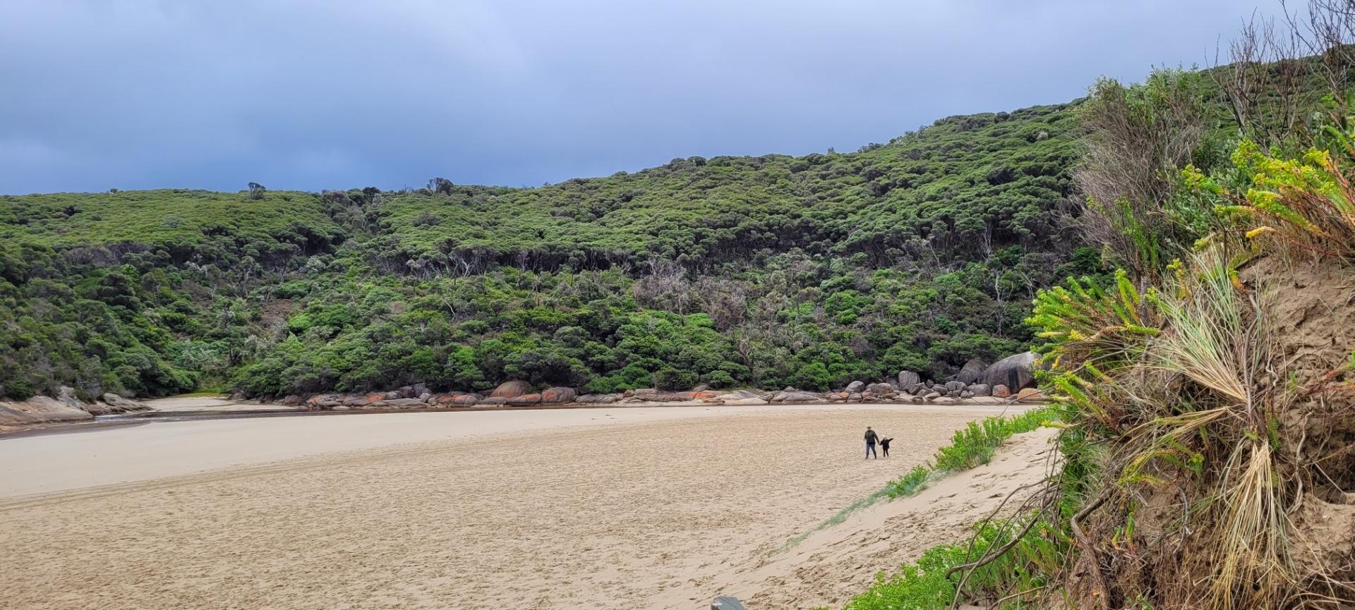
The Tidal River Estuary is approximately 2.5km in length and is located at the base of the tidal river catchment which is approximately 27km2. There are a number of roads, a bridge, boardwalk and several fishing platforms that provide access to the estuary.
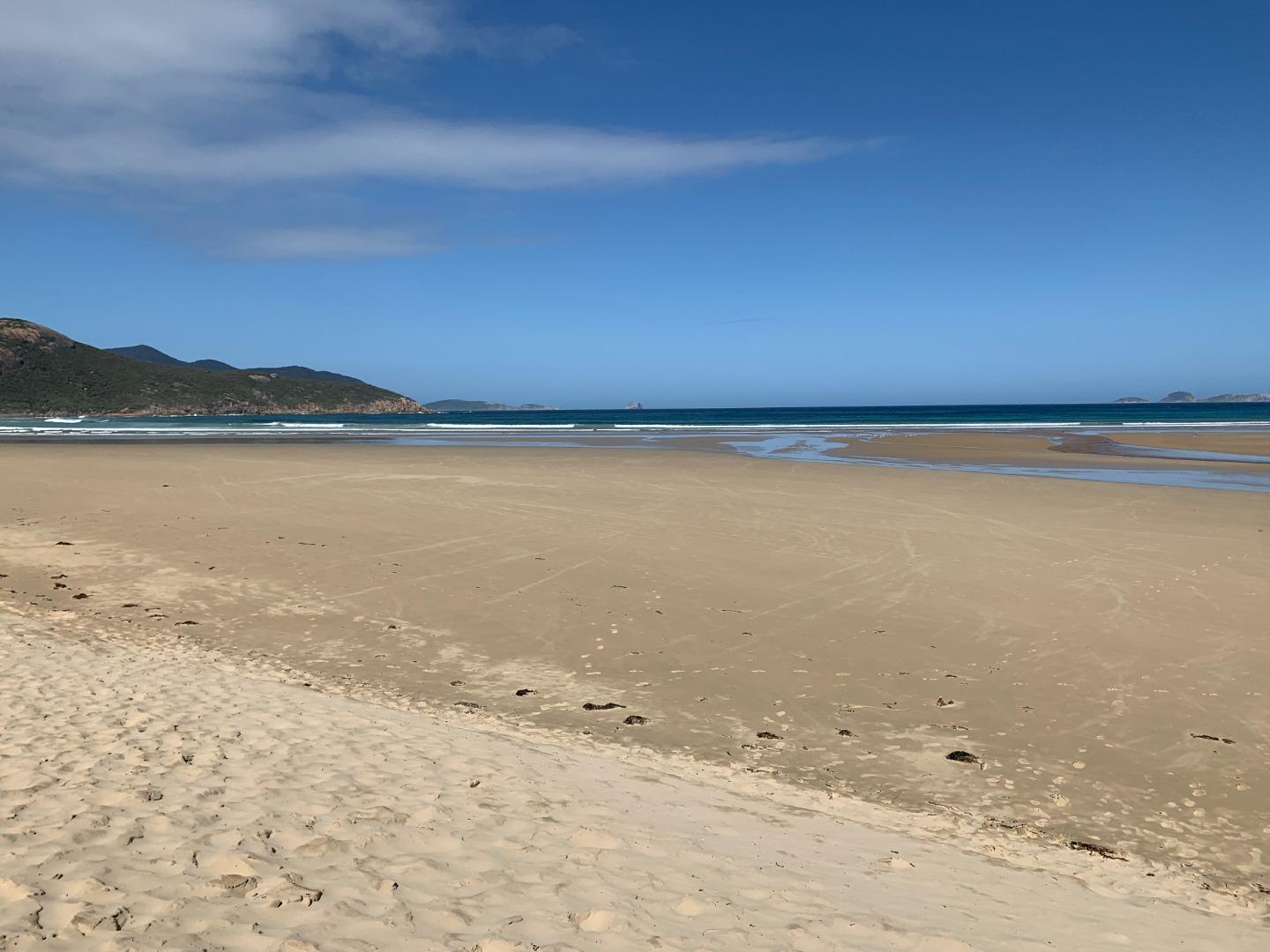
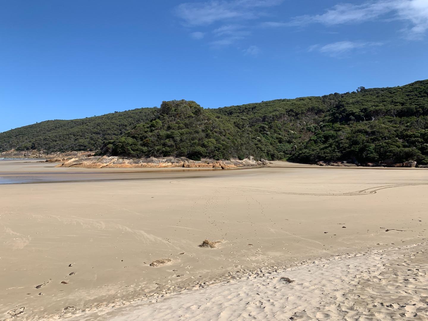
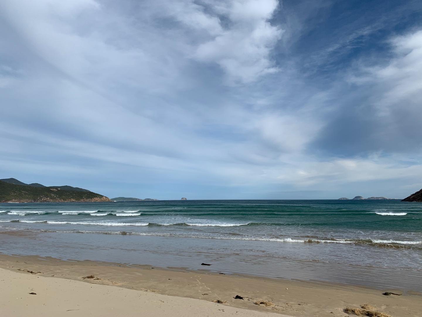
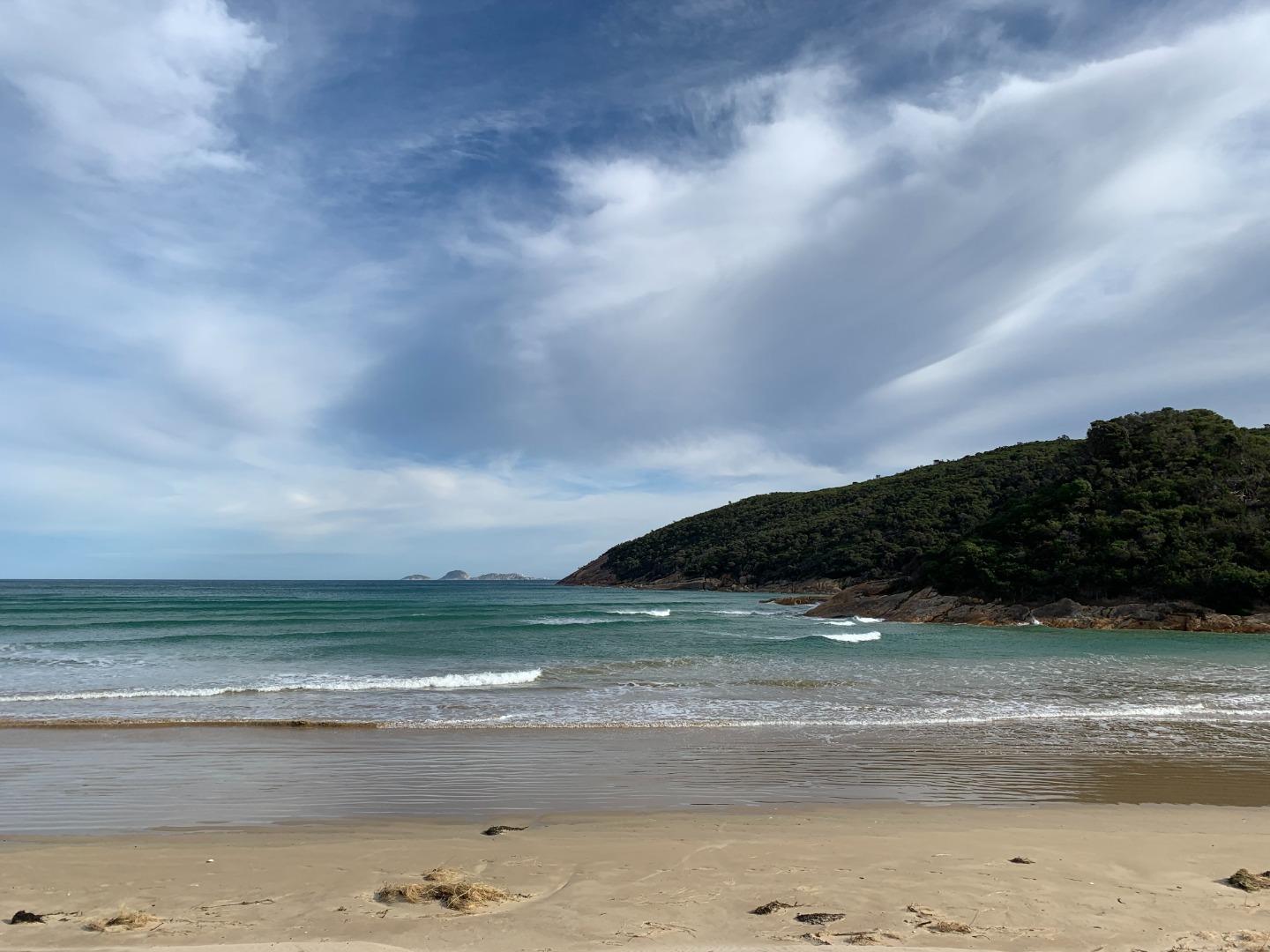
The Tidal River Estuary has a diverse array of intact habitat for terrestrial and aquatic wildlife, within and surrounding the estuary, including; muddy and sandy substrate, the water column, rocks and the vegetation communities surrounding these areas.
Map
Estuary Values
The vegetation communities are broken up into Ecological Vegetation Classes (EVC’s) based on the species composition of each community. Species composition is heavily influenced by frequency in which they are inundated, and the type of water in which they are inundated by (i.e. salty, fresh or brackish).
Some EVCs include:
- Coast Banksia Woodland (Rare in bioregion)
- Estuarine Wetland (Rare in Bioregion)
- Riparian Scrub (least concern in bioregion)
- Coastal Tussocks Grassland (Rare in bioregion)
- Coastal Saltmarsh (least concern in bioregion).
Fish Species
- Congolli
- Flatheaded Gudgeon
- Common Galaxias
- Spotted Galaxias
- Climbing Galaxias
- Yellow-eyed Mullet
- Estuary Perch
- Black Bream
- Silver Trevally
- Luderick
- Western Carp Gudgeon
- Greenback Flounder
- Pouched Lamprey
- Australian Herring
- Southern Shortfinned Eel
- Long Finned Eel
Significant Bird Species
- Pacific Gull (Near Threatened in Vic)
- White-bellied Sea Eagle (Vulnerable in Vic, FFG Listed)
- Sooty Oystercatcher (Near Threatened in Vic)
- Pied Cormorant (Near Threatened in Vic)
- Intermediate Egret (Endangered in Vic, FFG Listed)
- Lewins Rail (Vulnerable in Vic, FFG Listed).
Estuary Threats
Threats
- Introduced fauna (deer, fish (brown trout, rainbow trout and Goldfish), rabbits, foxes)
- Stormwater runoff
- Water extraction
Recent Events
No recent estuary events foundView all events
Sites
TR1 |
Tidal River FootbridgeActive Physico-Chemical 26-10-2017 - 23-04-2024This site is located on the Tidal River Footbridge, between the 13th and 14th upright post on the upstream side of the bridge (look for the broken bridge board). Observations 21 |
TR2 |
Fishing Platform 4 (Upstream)Active Physico-Chemical 05-11-2017 - 23-04-2024Fishing Platform 4 (Most upstream platform on the Loo Errn Boardwalk). Observations 21 |
TRMC |
Tidal River Mouth Condition Monitoring SiteActive Mouth Condition 26-10-2017 - 23-04-2024Tidal River Estuary Mouth Condition Monitoring is carried out at the estuary mouth at the base of second ramp. Observations 20 |
Trp1 |
Tidal River Photopoint Monitoring SiteActive Photopoint 08-11-2017 - 30-04-2024This site is located at the end of second ramp at Norman Beach. The photopoint photos (x4) are to be captured whilst standing beside the last upright fence post found at the beach end / river side of the second ramp track. Photos 76 |
Autumn 2024
Summer 2023
Spring 2023
Winter 2022
Summer 2021
Spring 2021
Winter 2021
Autumn 2021
Summer 2021
Mouth Condition Snapshots


We honour Elders past and present whose knowledge and wisdom has ensured the continuation of culture and traditional practices.
 All content, files, data and images provided by the EstuaryWatch Data Portal subject to a Creative Commons Attribution License
Data portal by CeRDI
All content, files, data and images provided by the EstuaryWatch Data Portal subject to a Creative Commons Attribution License
Data portal by CeRDI