Balcombe Creek Estuary
Melbourne Water
DOWNLOAD DATAOverview
Active Balcombe Creek EstuaryWatchers (BERG)
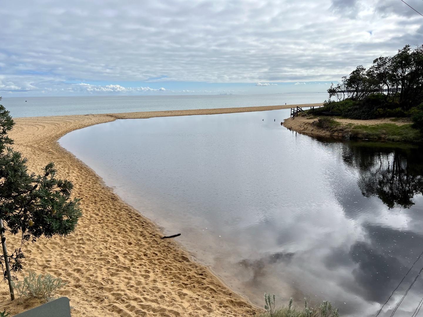
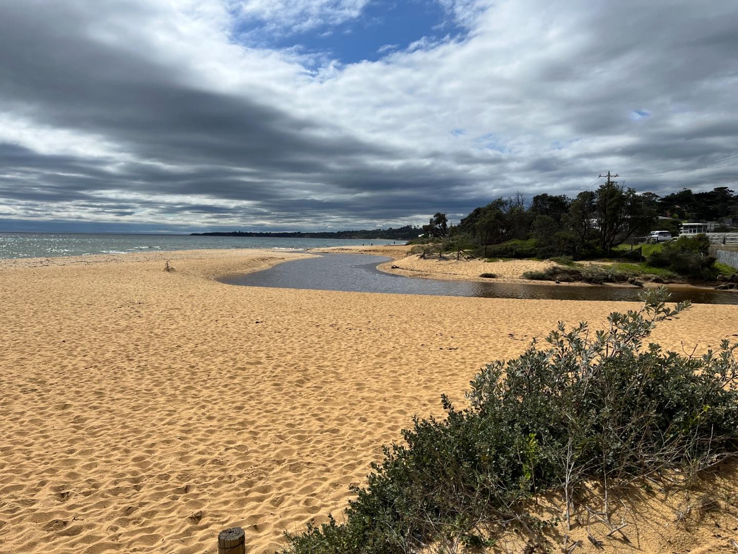
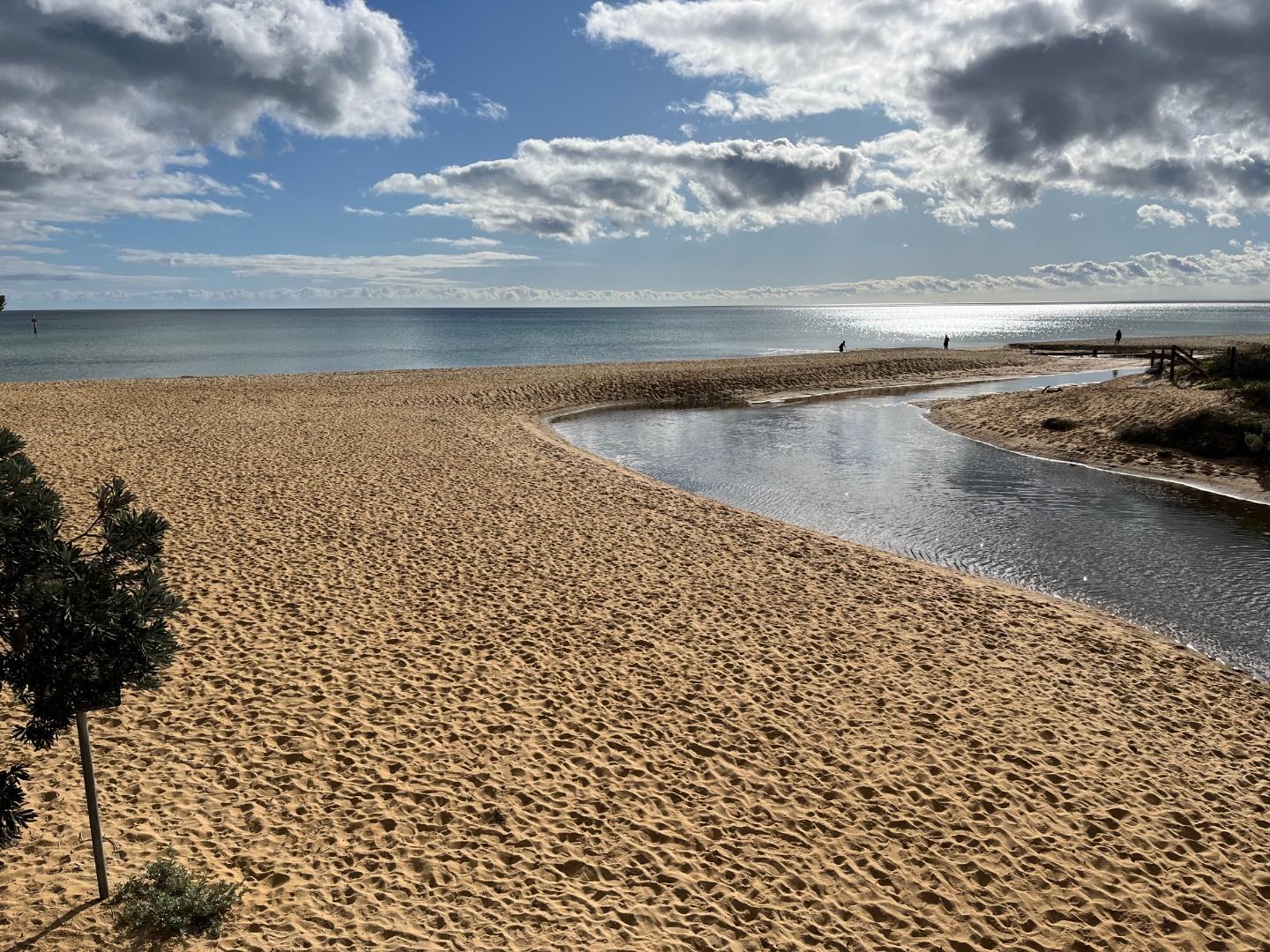
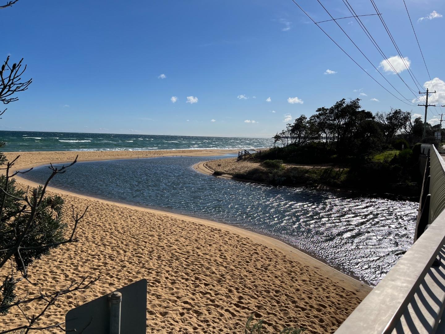
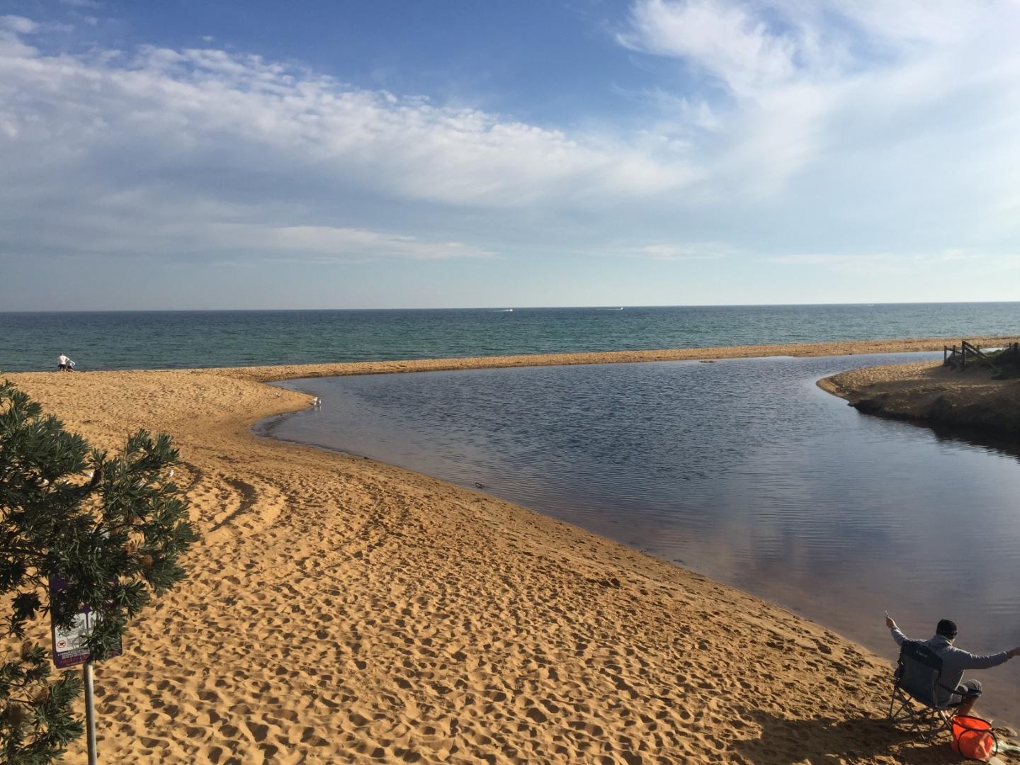
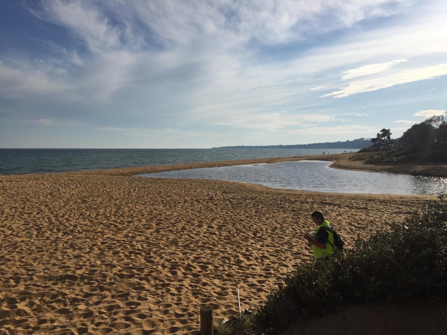
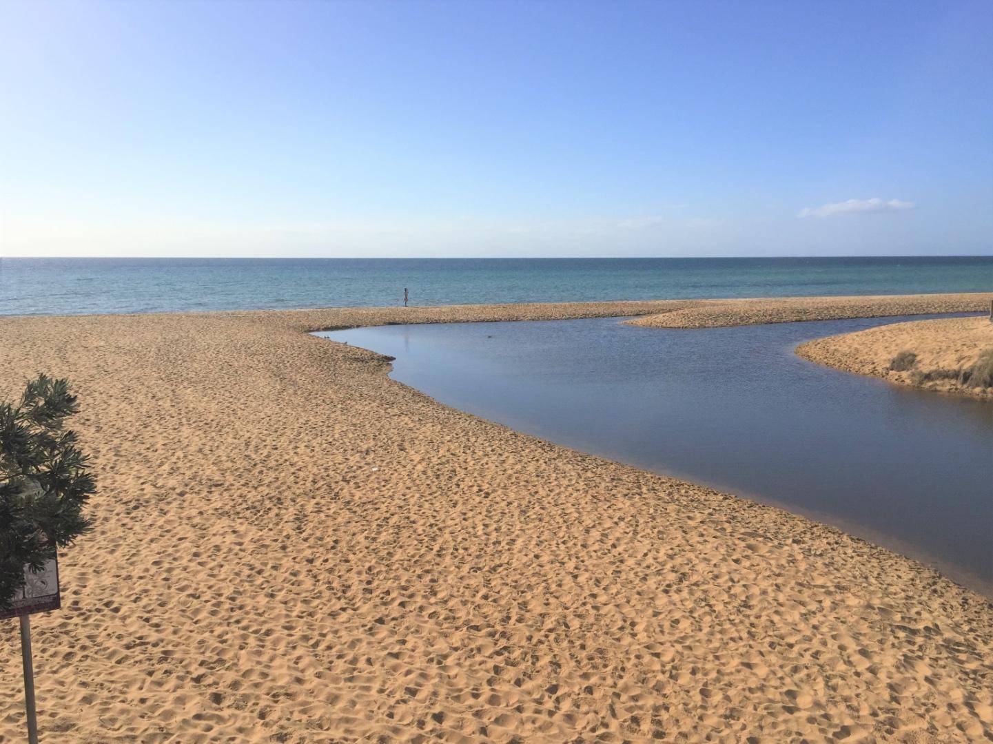
The Balcombe Creek estuary is in Mt. Martha. The estuary extent is limited by the outfall at Briars Park wildlife reserve. The entrance is downstream of the Nepean Highway and is open intermittently to Port Phillip Bay.
Map
Estuary Values
Estuary Threats
Recent Events
No recent estuary events found
View all events
Sites
Ba1 |
Jetty near mouthActive Physico-Chemical 09-10-2013 - 17-01-202650m north-east of Balcombe Estuary rotunda. Observations 81 |
Ba2 |
Ferrero OvalActive Physico-Chemical 21-01-2017 - 10-05-2023Jetty close to Ferrero Reserve. Observations 48 |
Ba3 |
Augusta StreetActive Physico-Chemical 21-01-2017 - 11-12-2025Augusta Street Bridge. Monitoring is conducted from the middle of the bridge. This is also a Waterwatch site. Observations 56 |
BaGB |
Balcombe Creek Gauge BoardActive Gauge BoardJetty near rotunda at Estuary carpark (off Mirang Ave). |
BaMC |
Balcombe Creek Mouth Condition ObservationActive Mouth Condition 10-03-2012 - 10-05-2023Balcombe Bridge on Esplanade. 5th post in from southern end on beach side. Observations 68 |
Bap1 |
Balcombe Creek Photopoint Site 1Active Photopoint 02-01-2017 - 13-05-2023Balcombe Bridge on Esplanade. 5th post in from southern end on beach side. Photos 30 |
Bap2 |
Balcombe Creek Photopoint Site 2Active Photopoint 06-10-2015 - 13-04-2023150m north west of the Balcombe Estuary Rotunda on beach. Site is behind shrubs and 'Balcombe Estuary' sign. Photos 41 |
Full estuary snapshots below use dates where samples at every active monitoring site were recorded.
View full and partial snapshots
Summer 2026
Autumn 2025
Summer 2023
Spring 2022
Winter 2022
Autumn 2022
Summer 2022
Winter 2021
Autumn 2021
Summer 2021
Mouth Condition Snapshots


We acknowledge and respect Victorian Traditional Owners as the original custodians of Victoria’s land and waters, their unique ability to care for Country and deep spiritual connection to it.
We honour Elders past and present whose knowledge and wisdom has ensured the continuation of culture and traditional practices.
We honour Elders past and present whose knowledge and wisdom has ensured the continuation of culture and traditional practices.
 All content, files, data and images provided by the EstuaryWatch Data Portal subject to a Creative Commons Attribution License
Data portal by CeRDI
All content, files, data and images provided by the EstuaryWatch Data Portal subject to a Creative Commons Attribution License
Data portal by CeRDI